Get Lost Mountaineering
You are here: Scotland » 14 Loch Maree to Loch Broom and Garve » Braemore Junction to Achnasheen
Meall a' Chrasgaidh, Sgurr nan Clach Geala & Sgurr nan Each
Meall a' Chrasgaidh, Sgurr nan Clach Geala & Sgurr nan Each
via head of Loch a' Bhraoinfrom A832, 4 miles SW of Braemore Junction
Start/Finish
Rough gravel verge parking at NH 162 761, on the A832 road (to Gairloch) from Braemore Junction (leaves A 835 Ullapool to Inverness road about 12 miles south of Ullapool). This is about 4 miles from Braemore Junction. If staying at Dingwall, it is about 37 miles to the start of the walk.
Distance/Time
18 km. About 7 – 8 hours.
Peaks
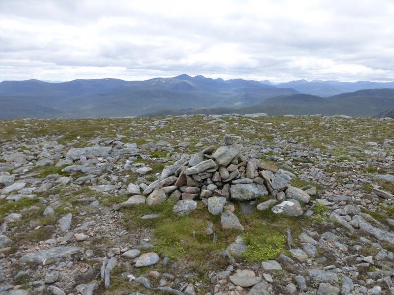
Meall a' Chrasgaidh, 934 m, NH 184 733.
Carn na Criche, 961 m, NH 196 725.
Sgurr nan Clach Geala, 1093 m, NH 184 715.
Sgurr nan Each, 923 m, NH 184 697. OS sheets 20.
Introduction
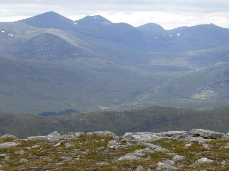
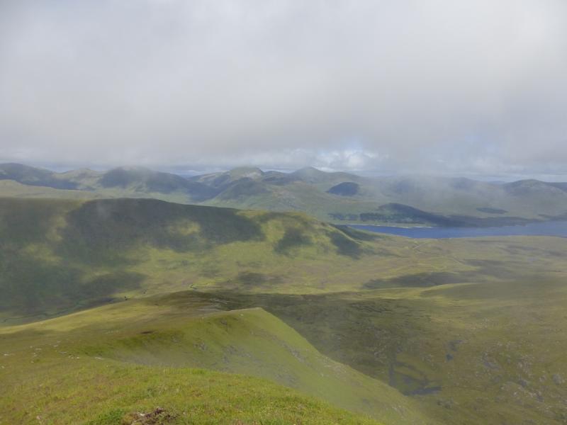
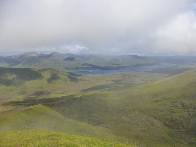
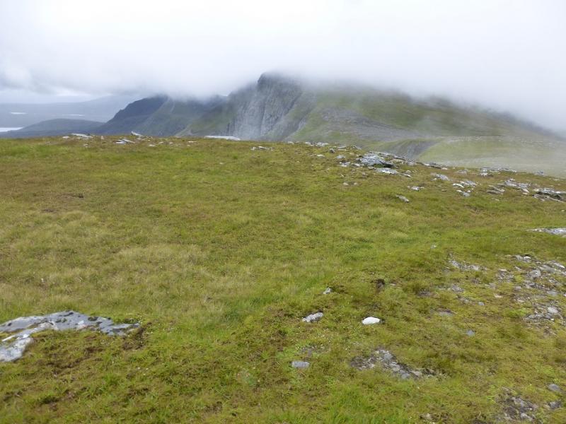
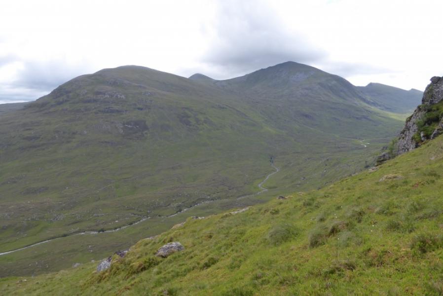
The three Munro peaks on this route lie on the same ridge. Carn na Criche is a Munro top and actually “belongs” to Sgurr Mor but is more easily included in this route than the one including Sgurr Mor. It is the central ridge in the Fannaichs so there are excellent views of the other hills in the group as well as to the Beinn Dearg range and the hills of Fisherfield including An Teallach. Note that there is the same river crossing on the outward and return route which is okay in a dry spell but impossible after rain when the river will be dangerously swollen. It is possible to avoid this crossing on the return by staying on the W side of the river but the ground is much rougher ans lower than the path.
Route
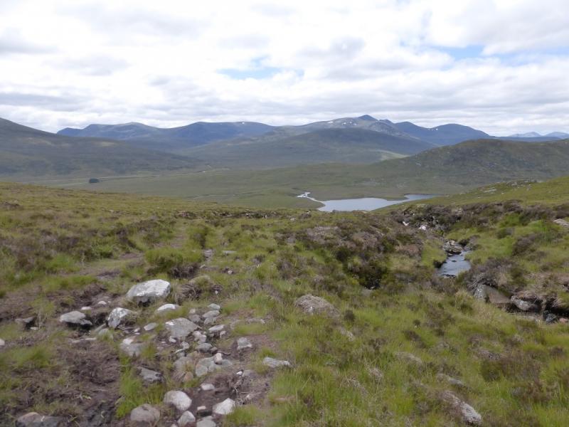
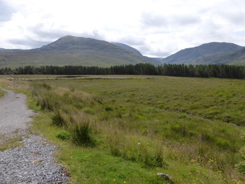
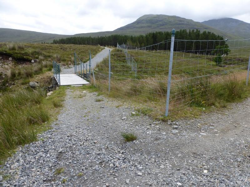
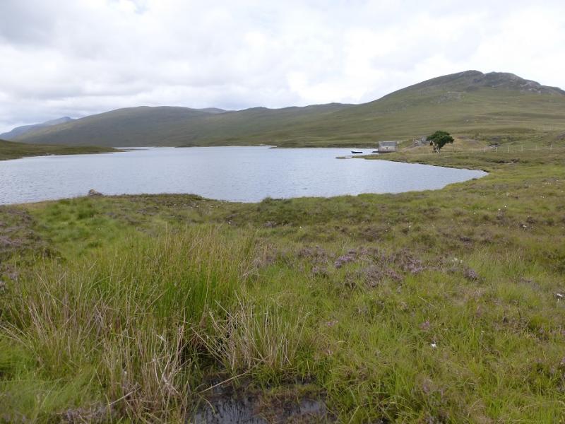
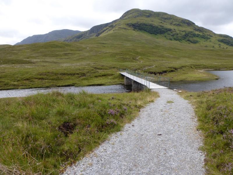
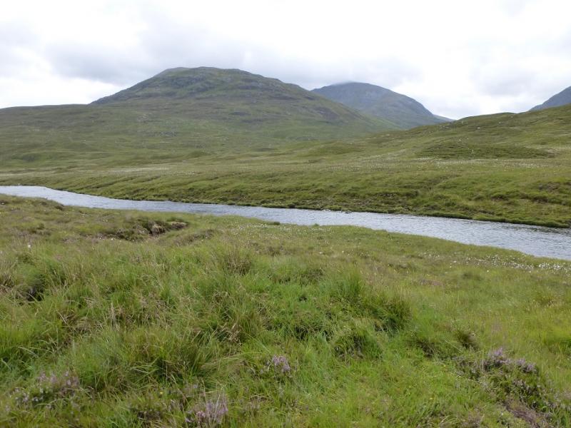
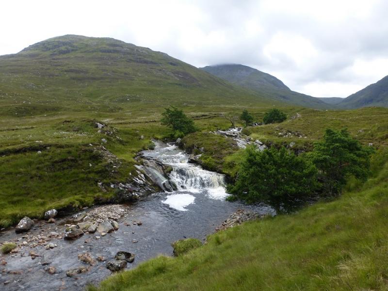
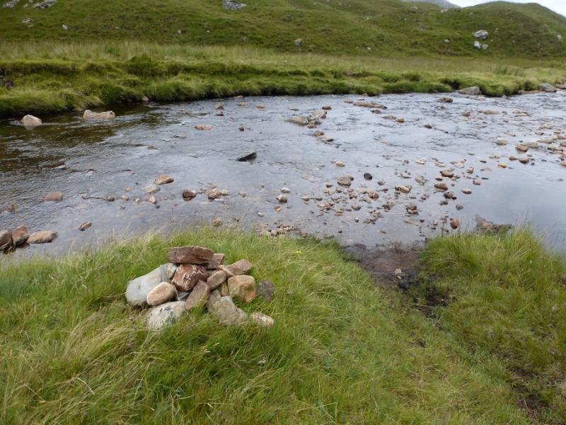
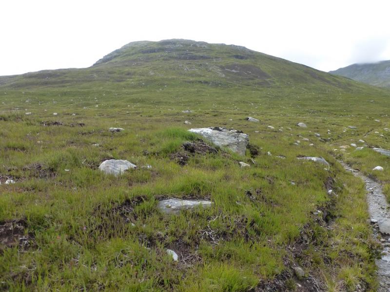
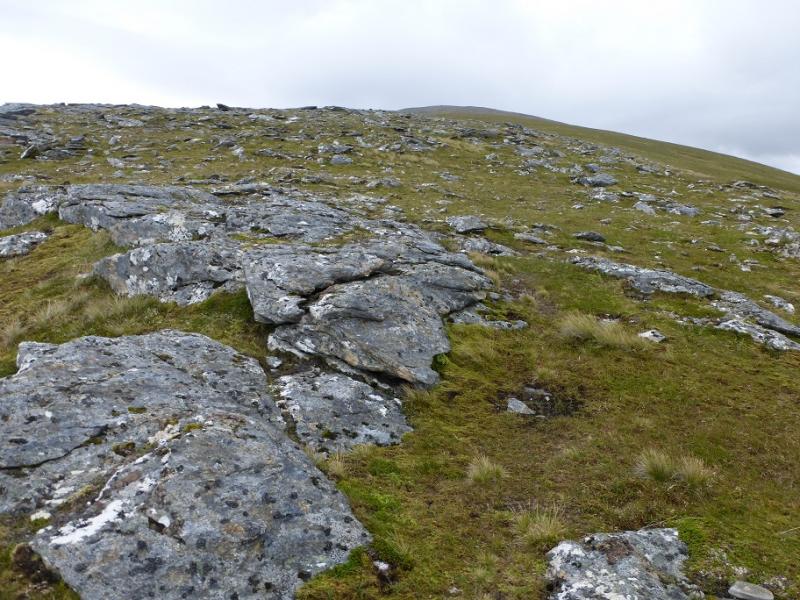
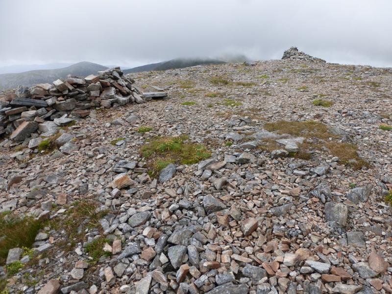
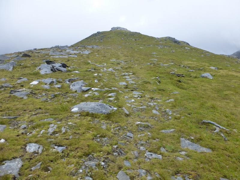
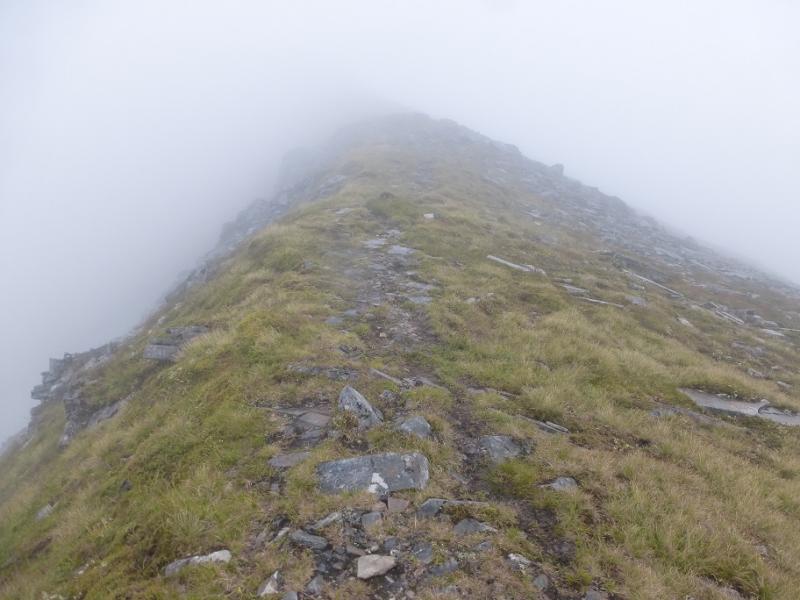
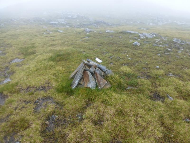
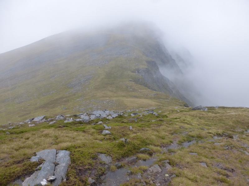
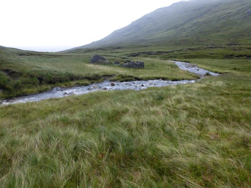
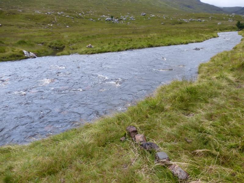
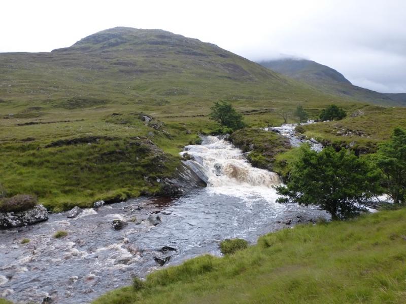
(1) Walk down the signed track to Loch a' Bhraoin where the old path/track has been diverted to the left over a bridge. This avoids the boathouse and is a well made path/track through a pleasant wood. Emerge then cross the bridge over the river and follow the stalker's path which soon picks up a tributary, Allt Breabaig, of the river just crossed. Follow this past a low waterfall then reach a point where there is a cairn on the opposite bank marking the continuation of the path. Cross over. Some of the stepping stones may be slightly submerged! The SMC Munros book has a bridge slightly downstream from where the path first meets the Allt Breabaig but this was not looked for or spotted on 6/8/16 but it may be worth looking for as it removes any problems with a swollen river. Once across, head for the NW ridge of Meall a' Chrasgaidh and pick a way up easy but moderately steep slows. Eventually the angle eases and one can continue on less steep groundto reach the stony crest which leads to a shelter cairn just before the large cairn which is the summit of Meall a' Chrasgaidh, 934 m.
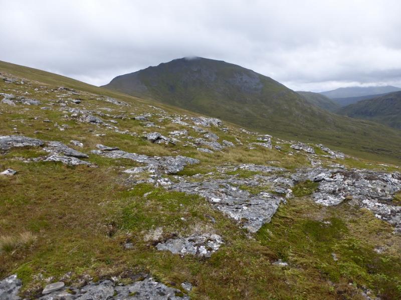
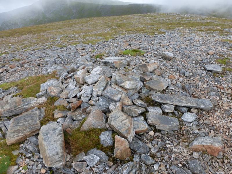
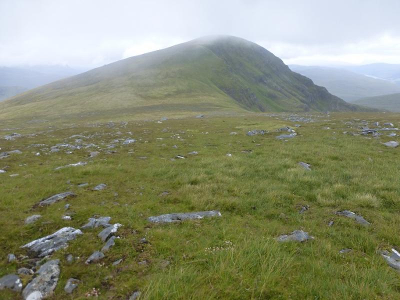
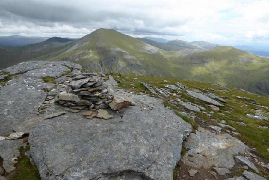
(2) Descend SE to a col then continue up SE then E to reach a medium cairn which is the summit of Carn na Criche, 961 m.
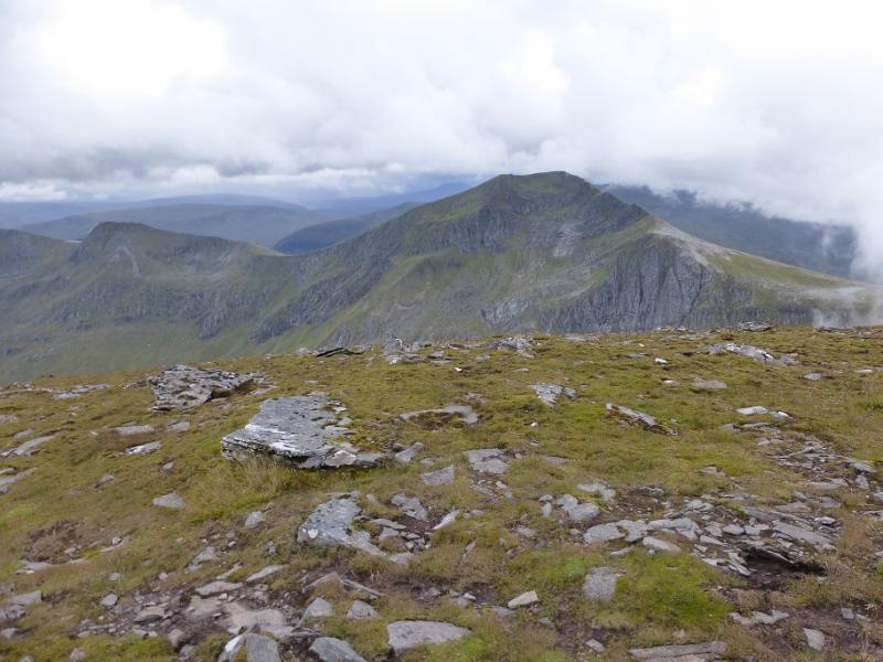
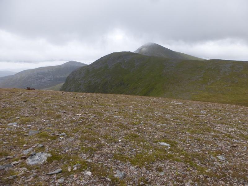
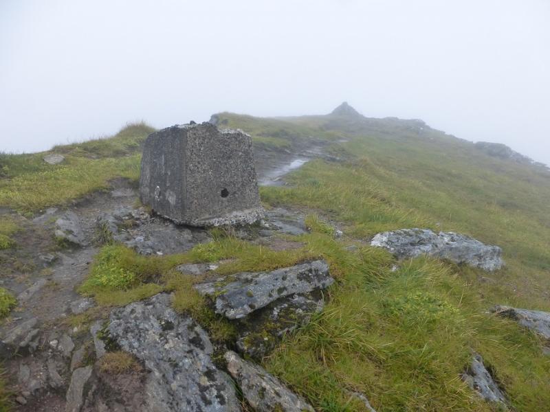
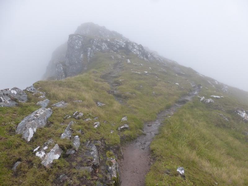
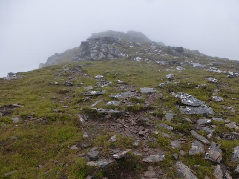
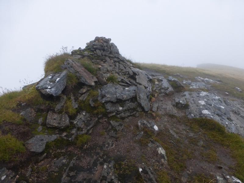
(3) Descend WSW then SW to reach the lochan at the foot of the N ridge of Sgurr nan Clach Geala. Walk up this ridge which, higher up, narrows but there are no difficulties. After a longish ascent reach the remains of a large trig point with the large summit cairn just beyond which is Sgurr nan Clach Geala, 1093 m.
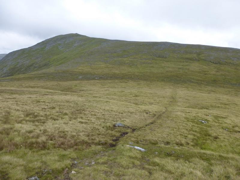
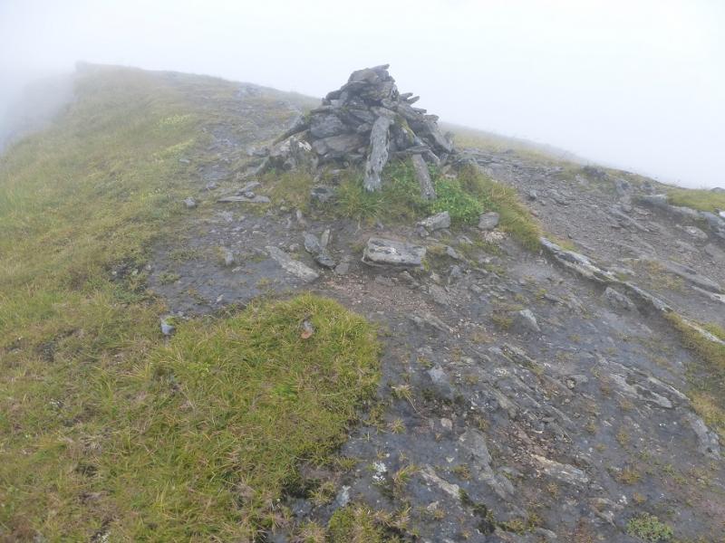
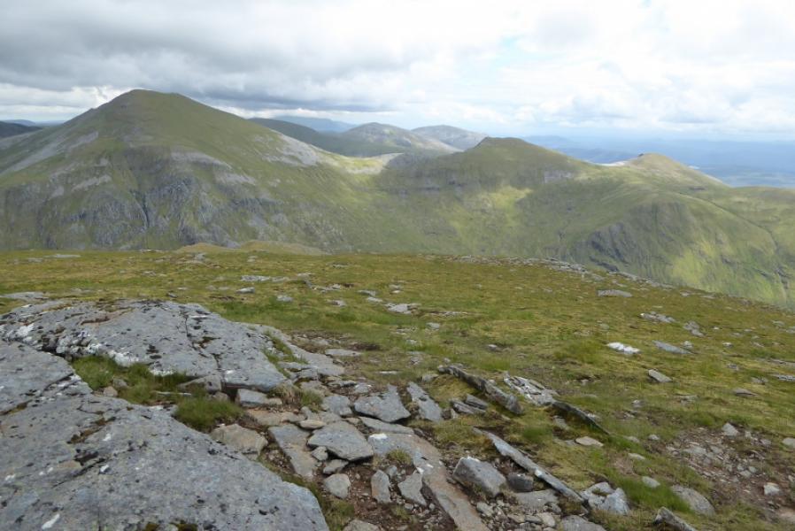
(4) Descend the SE ridge for a short distance before the path goes S just before an outcrop and descend the S ridge to reach a col with a small cairn in it which will be used later. Ascend up the other side and follow the path up for some distance to reach the small cairn which is the summit of Sgurr nan Each, 923 m.
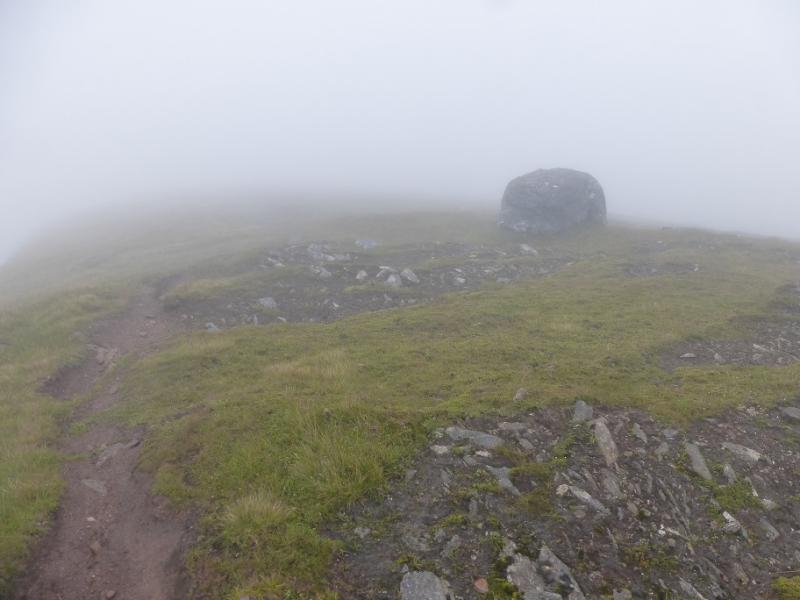
(5) Retrace down to the small cairn in the col and leave the crest, heading down left, W. Pick a way down but don't drift left as the col at the bottom is over to the right. Once in the col, pick up the stalker's path and follow it north, crossing the river which is crossed back as on the outward route. If the state of the river precludes this – caused by heavy rain since the first crossing – then stay on the W side of the river where there is an intermittent path but far worse ground and some tributaries to cross.
Notes
(a) This walk took place on 6th August, 2016 and about 10 and 25 years earlier by the same route but in reverse.
(b) If you don't mind the driving, Dingwall Camping and Caravanning Club site is well placed for access to Glen Arric, Loch Mullardoch, Glen Strathfarrar, Strathconon, Ben Wyvis, Achnasheen, Kinlochewe. Fannaichs, Loch Glascarnoch, Beinn Dearg range and lower hills on the coast. The site is virtually midge free. It pays to be a member otherwise there are surcharges. There is an over 50's discount outside of the High Season. Electrical hook ups are possible for campers. Dingwall has a 24 hour Tesco.
Photos - Hover over photo for caption. Click on to enlarge. Click on again to reduce.