Get Lost Mountaineering
You are here: England » Peak District » Bleaklow & Howden Edge from Torside, Woodhead & Langsett
Swains Head, Outer Edge & Margery Hill from Langsett Barn
Swains Head, Outer Edge & Margery Hill from Langsett Barn
Start/Finish
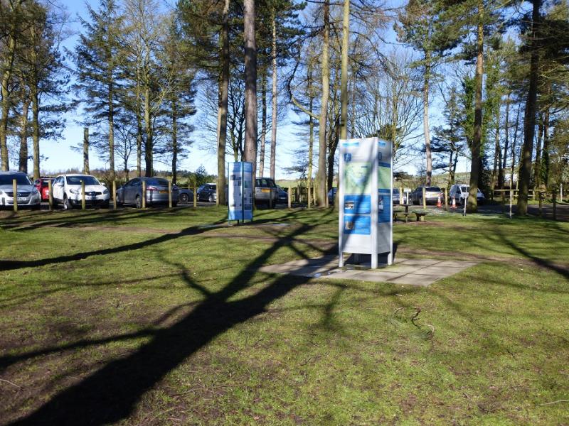
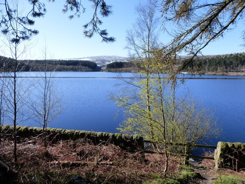
Langsett Barn car park (free on 17/4/16) which is just off the A616 road from junction 35A of the M1 to the roundabout where it meets the A628, Woodhead Pass by the Flouch Inn. The car park is about a mile south east of the roundabout. At weekends, the car park can fill up very quickly leaving one to look around for parking. There are toilets by the car park.
Distance/Time
22 km. About 7 hours depending on ground conditions.
Peaks
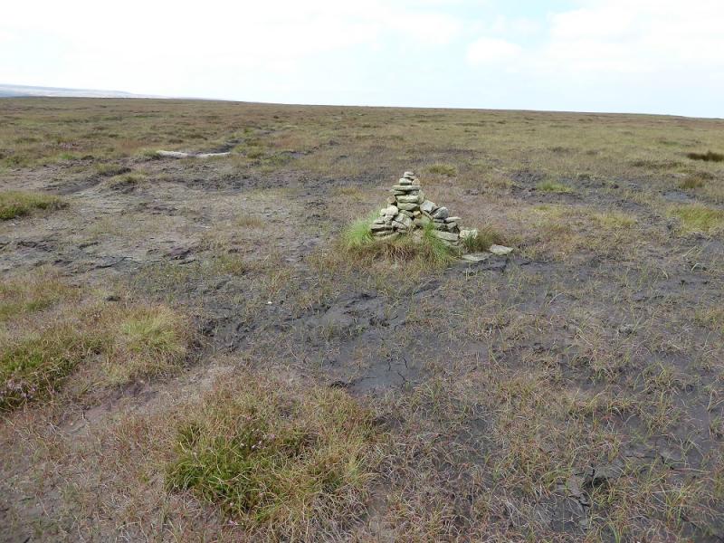
Swains Head, c 500 m, SK 133 983. (Not a peak)
Outer Edge, 541 m, SK 177 969.
Margery Hill, 546 m, SK 188 967.
OS 110: Sheffield & Huddersfield. OS Outdoor Leisure 1: Dark Peak
Introduction
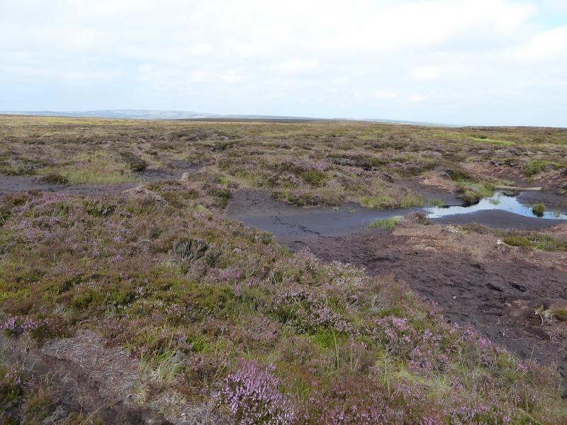
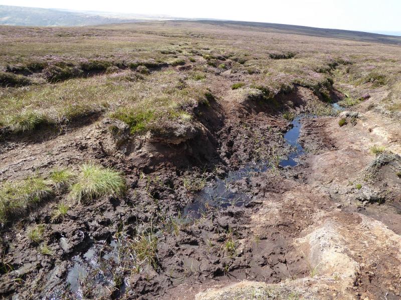
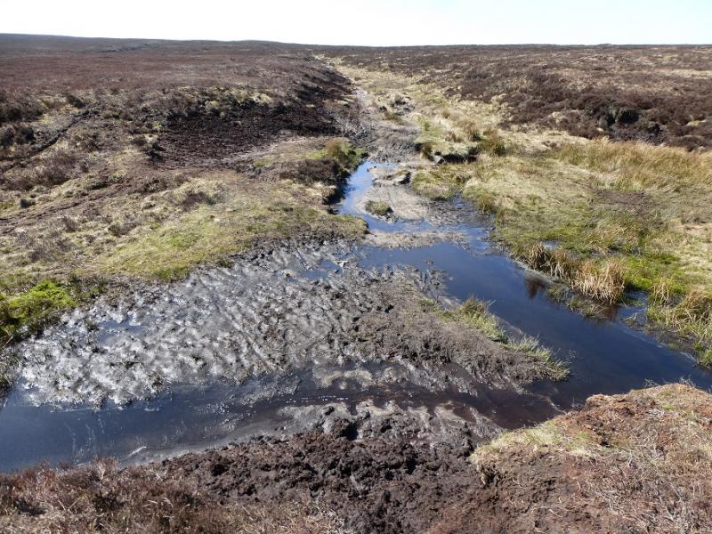
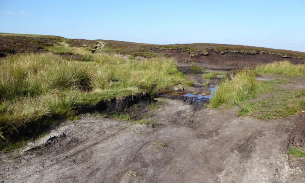
This is a good but strenuous walk with good moorland views in clear weather. Some of the going is boggy, even very boggy and gaiters are recommended in a wet spell when progress will be slow. Some of the route is pathless. There is plenty of time for this walk on a late-winter's day when the views are often at their best and the frozen ground is more pleasant to walk over. Snow and ice are not normally a problem but err on the side of caution if you have any doubts. There are no really steep sections. On this walk, found a solo walker stuck fast, over waist deep, in a bog and had to pull him out or he could have been there for days and possibly died of exposure. Note that many of the paths and tracks are not on most maps.
Route
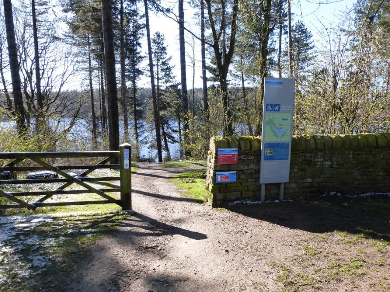
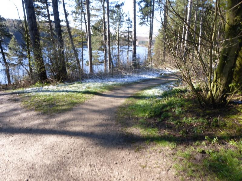
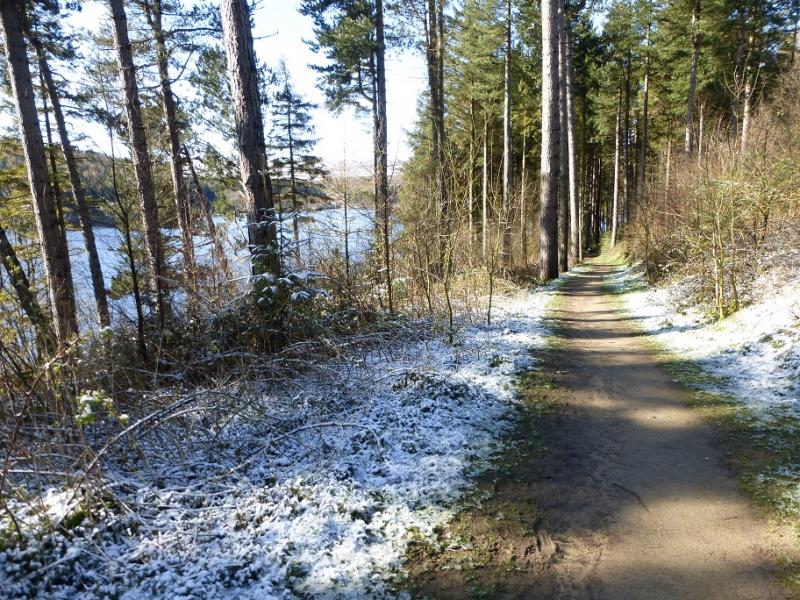
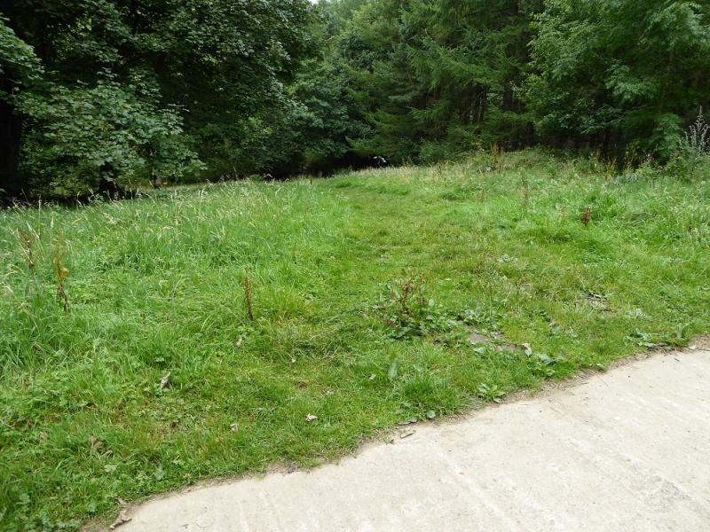
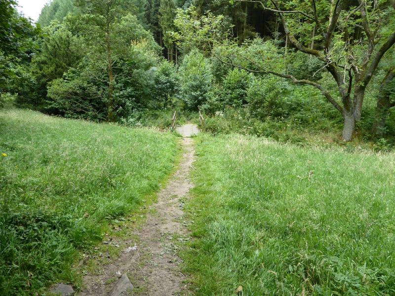
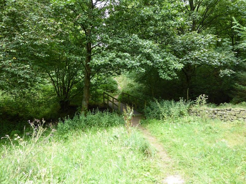
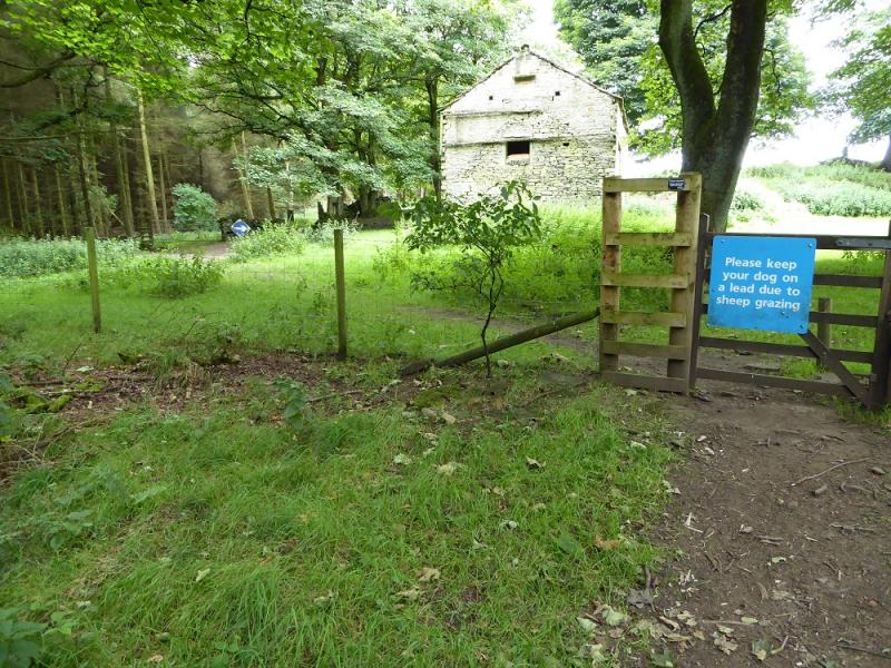
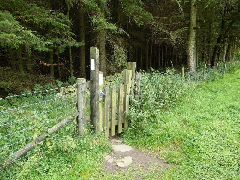
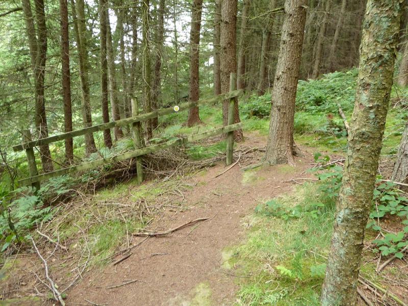
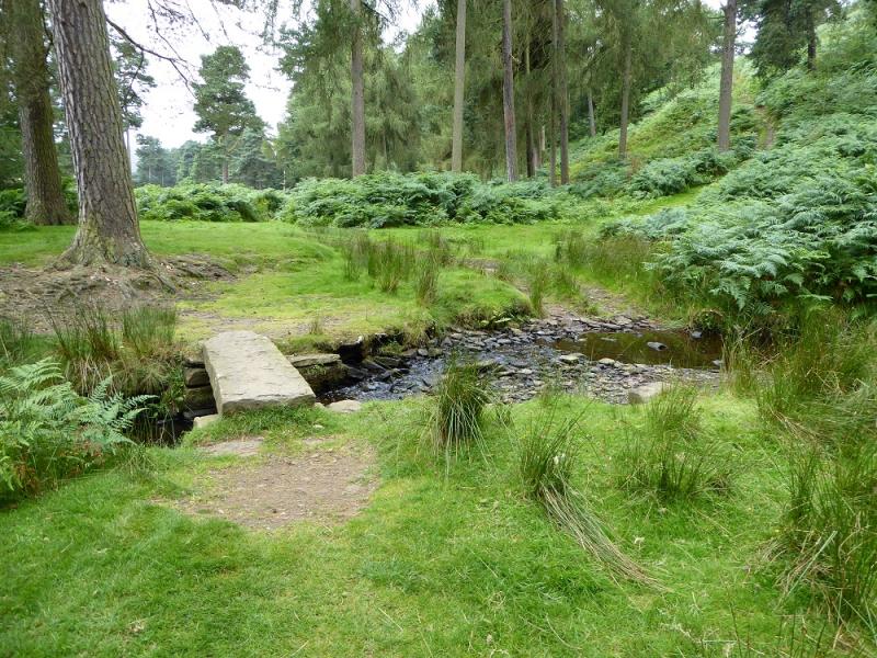
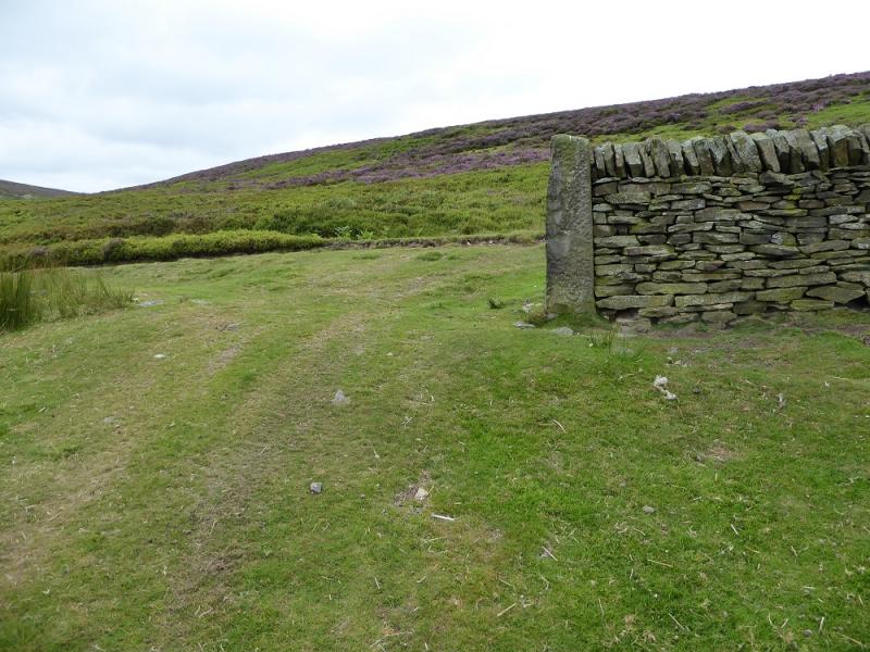
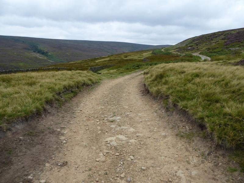
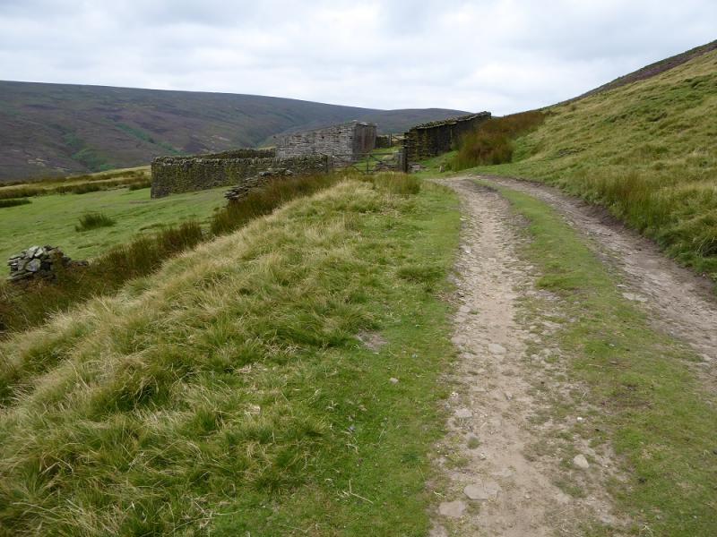
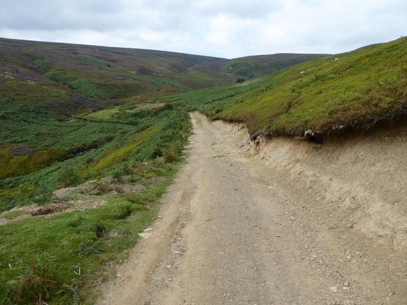
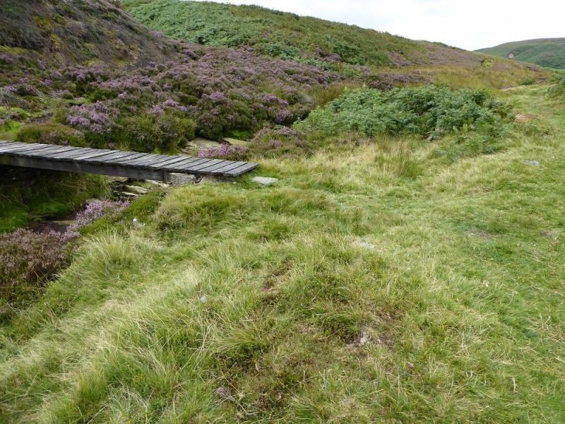
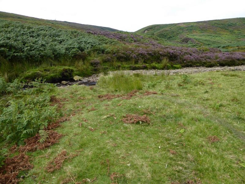
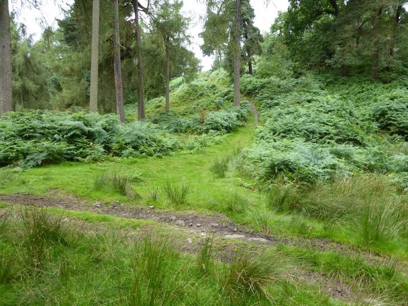
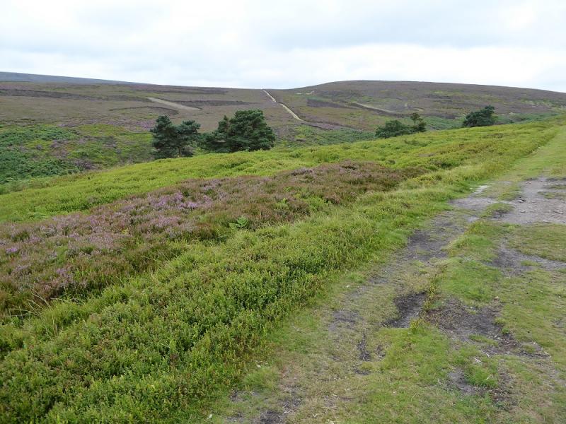
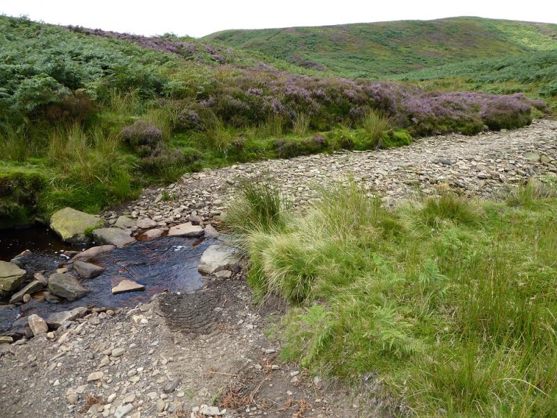
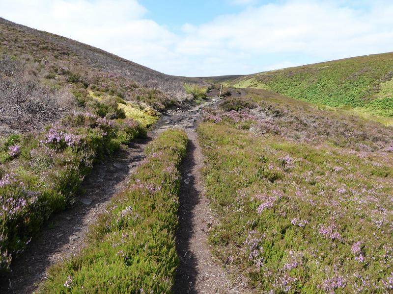
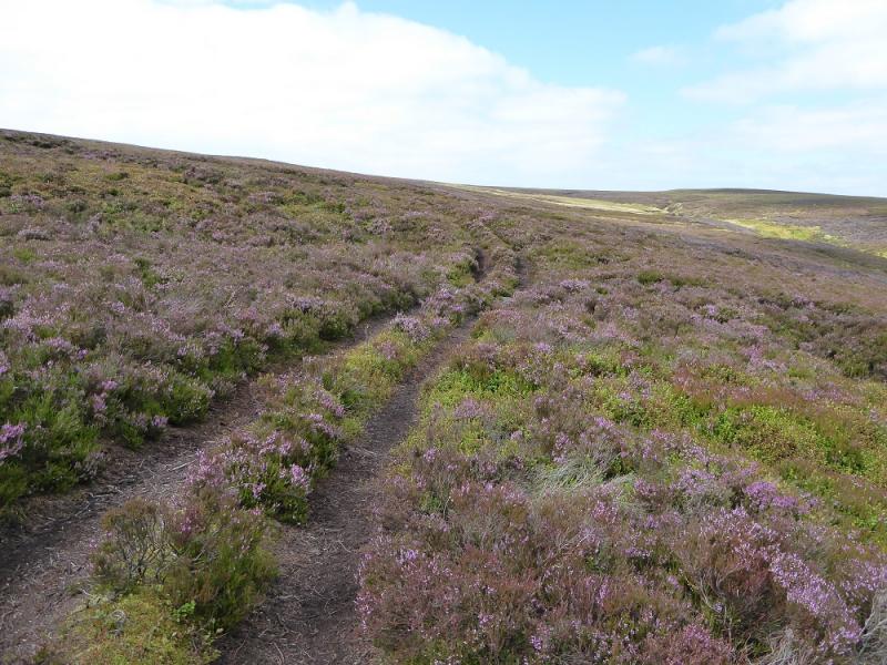
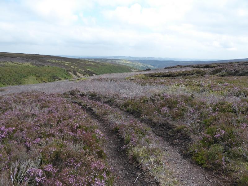
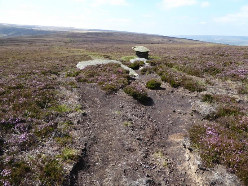
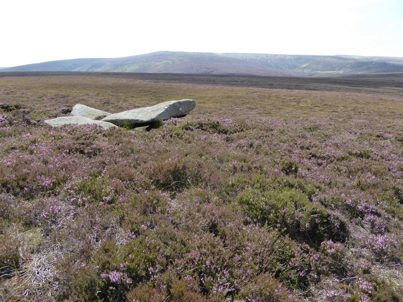
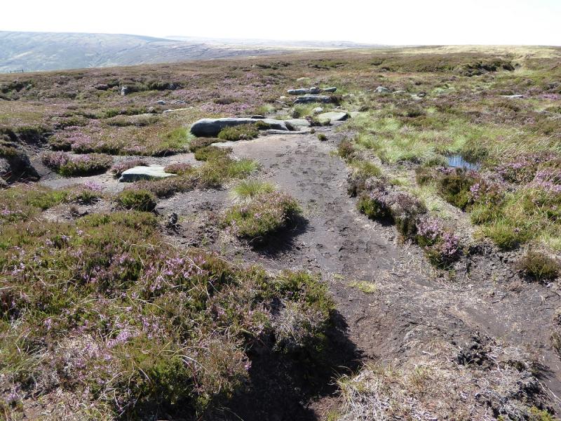
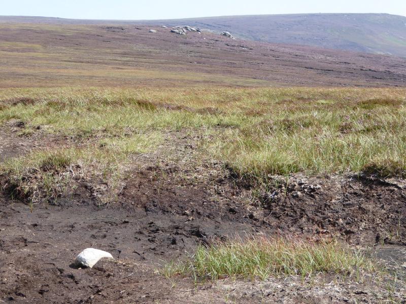
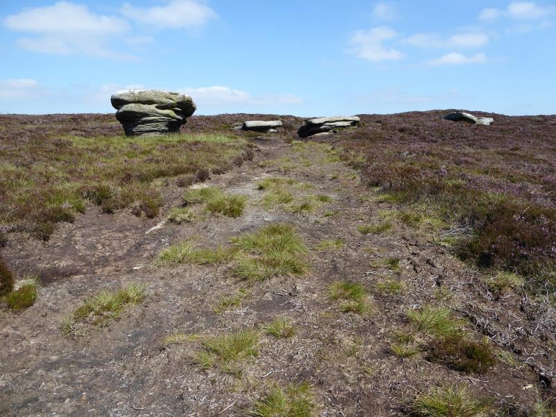
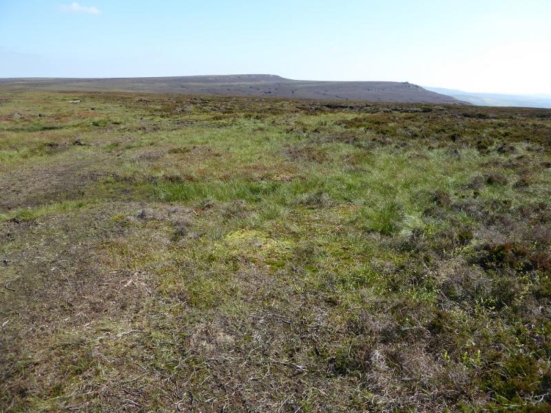
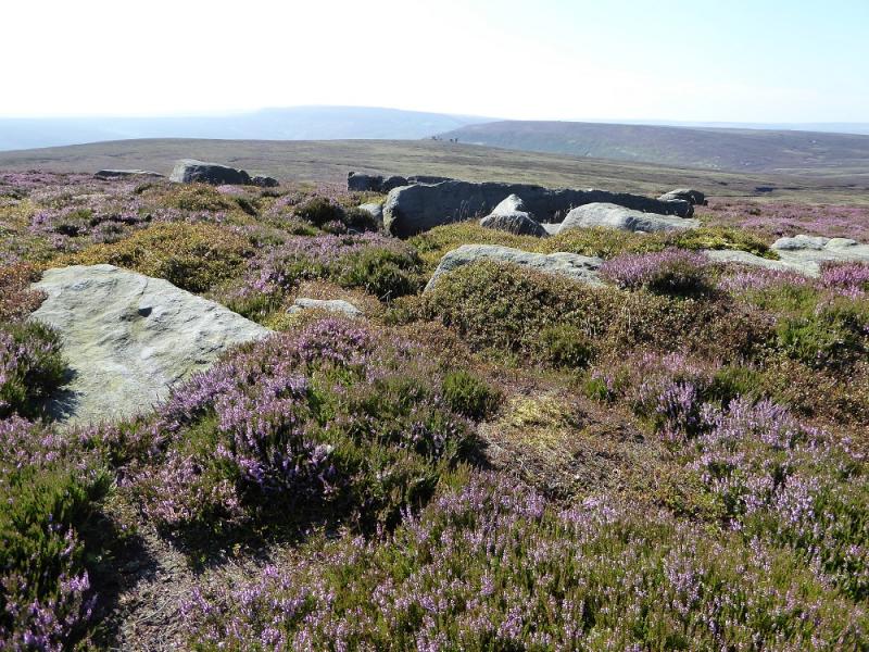
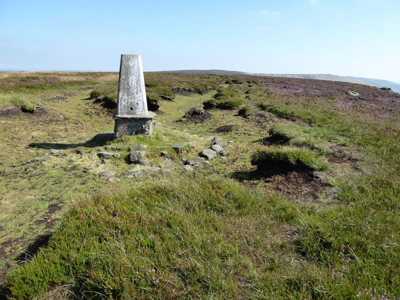
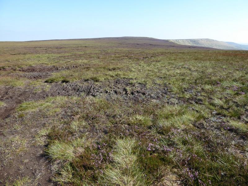
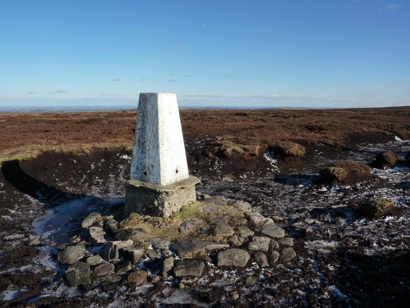
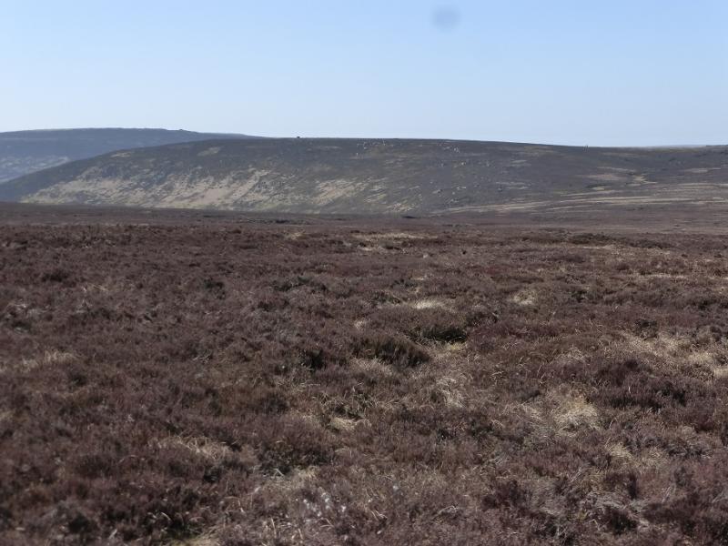
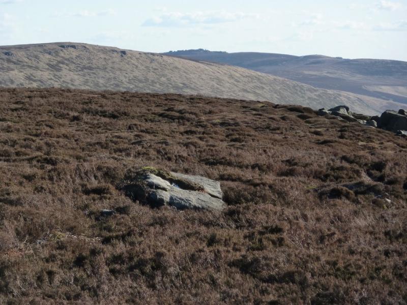
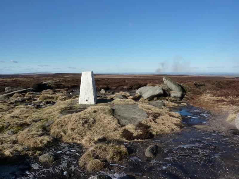
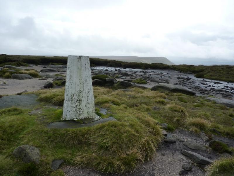
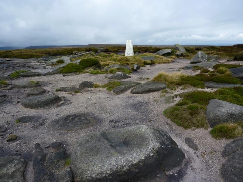
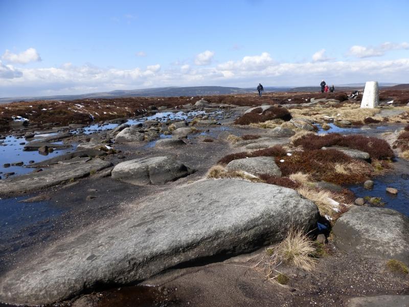
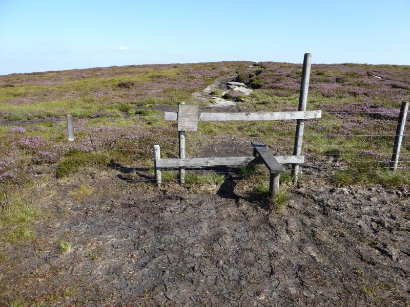
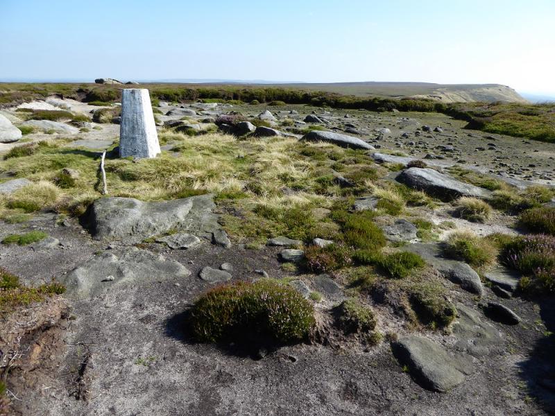
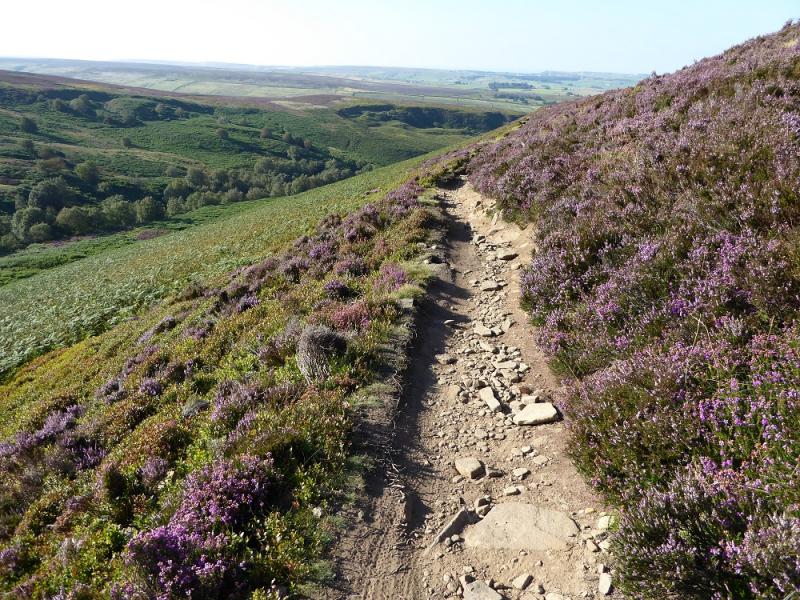
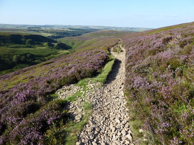
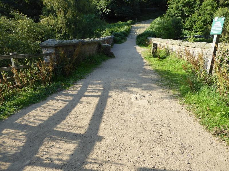
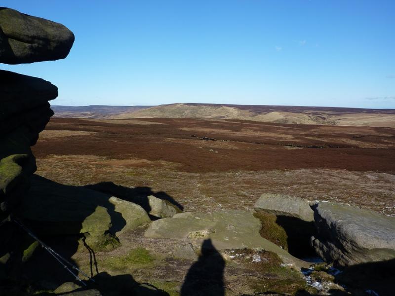
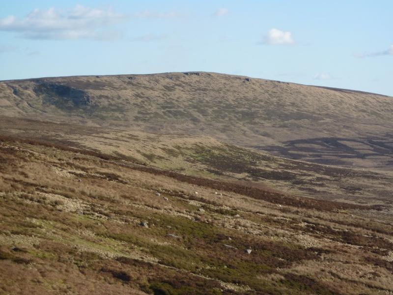
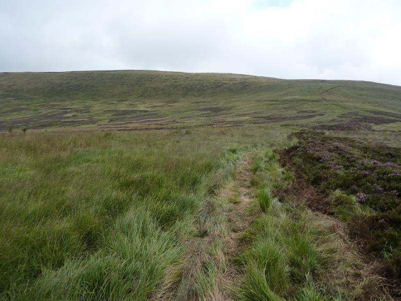
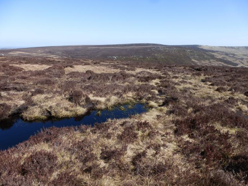
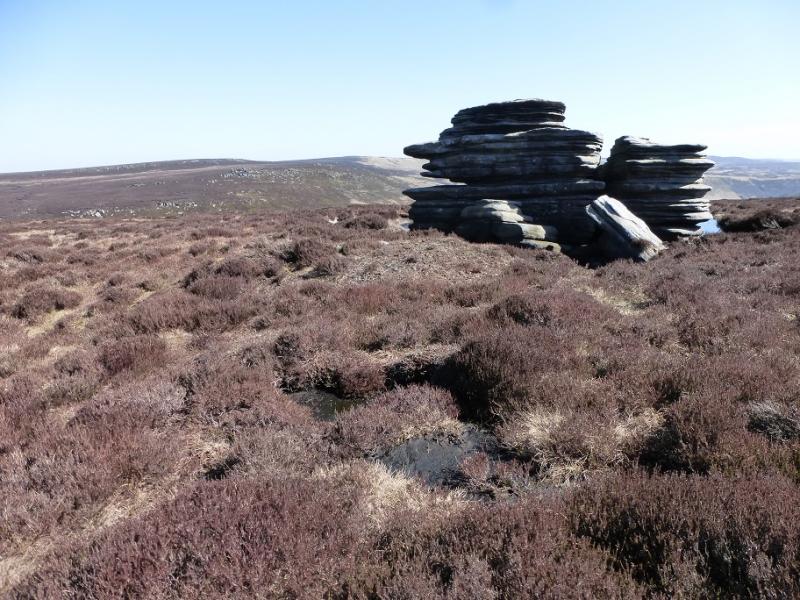
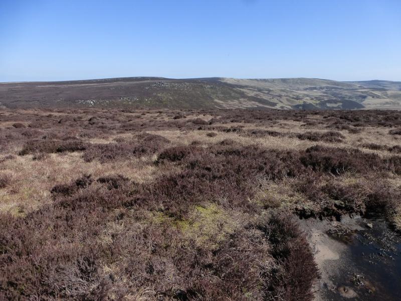
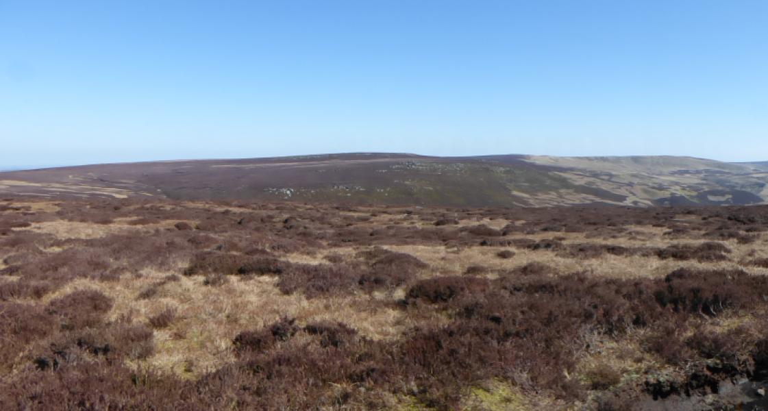
(1) Walk out of the bottom of the car park and soon pick up the main path heading NW with Langsett Reservoir below and on one's left. Follow this to the end of the reservoir where the path splits with the left option descending to a bridge and the right option going to a short section of concrete track. Take the right option but don't go too far. Look left and see two small bridges. Go to the right hand one and follow the path once across it. The path can be boggy in places but leads through woodland to reach a barn which it goes around on the left. Not long after the barn, fork left on to another path/track which goes into the wood. Further on, there is an obvious reverse left fork which takes one down to a lower path then continues in a similar direction. Soon reach a bridge which is a single slab of stone. Cross then take the first path on the right which climbs steeply. When the angle eases, take the left fork at a track junction and follow this with little further gain in height and passing through scattered trees. Reach the start of a wall on the right, after which a better track is joined. Follow this left and cross a dip then continue to a more level section above Hordron Clough. Just before some buildings in an enclosure are reached, fork left and follow the track down into the valley bottom. Continue up the clough but do not cross the obvious bridge. Instead continue a little further to where a rough track fords the river then , indistinctly at first, continues up the “ridge” between two streams with Laund Clough below. Follow the increasingly obvious track up this “ridge”. Higher up it turns left and ascends into the featureless ground above where it finally peters out. Head roughly SSW, over the featureless ground aiming for the crest. There is little gradient but the ground can be peaty and boggy. There is a path on the crest which connects Outer Edge to Swains Head. Go W and follow the path although there will be some very boggy sections which require a detour. It will be about 3 km to Swains Head but the going will be slow. Pass a an obvious outcrop then reach a stile. On the day, a GPS reading showed the stile to be at Swains Head but one can go further into the enclosure after crossing the stile until one has had enough of tramping through bog! Return along the crest and head towards the top of Outer Edge passing well to the left of the rise with Horse Stone on it. The path improves the nearer one gets to Outer Edge and a gentle, but boggy, ascent leads to the trig point which marks the summit of Outer Edge, 541 m.
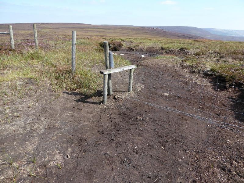
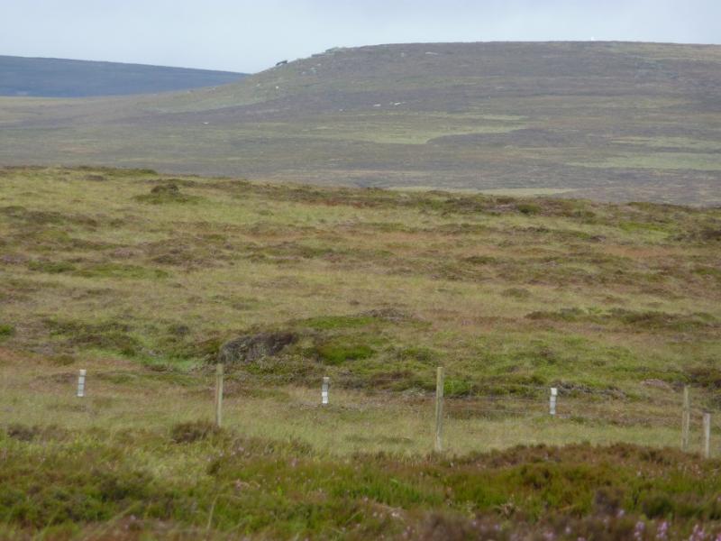
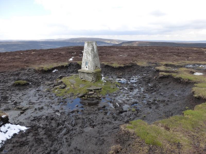
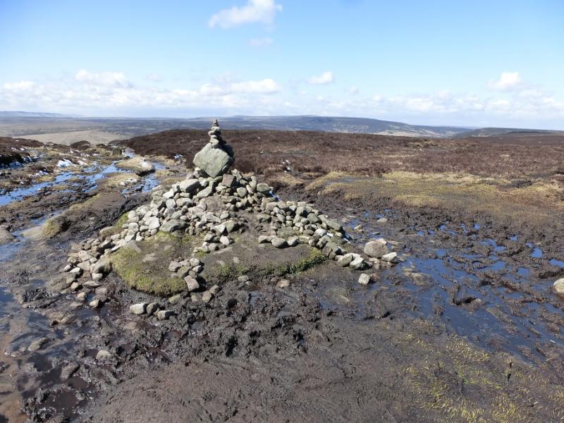
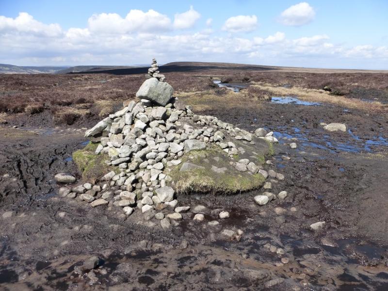
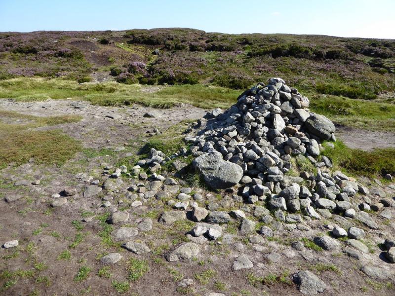
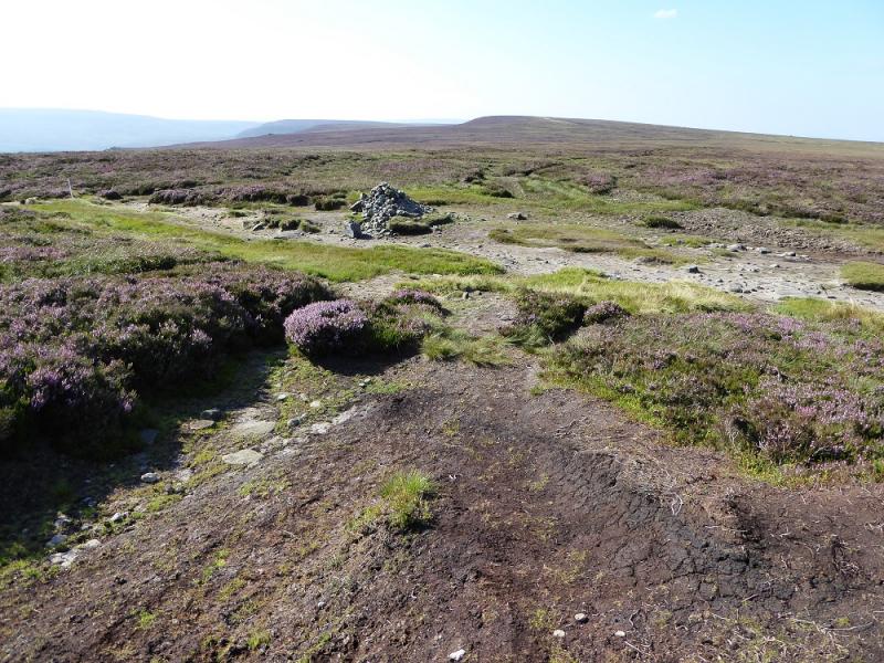
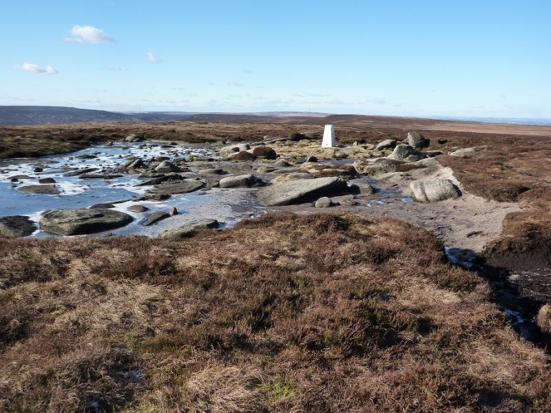
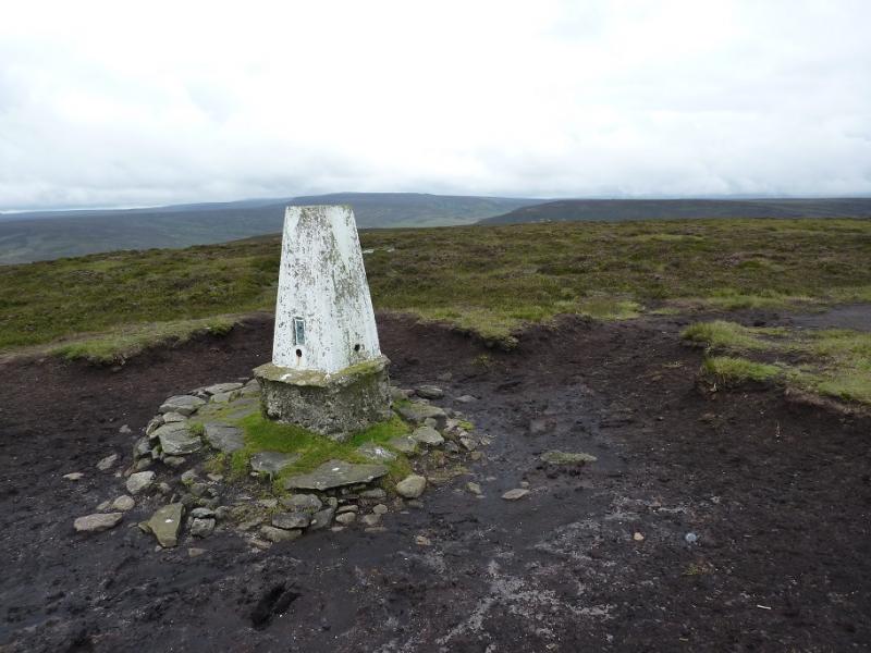
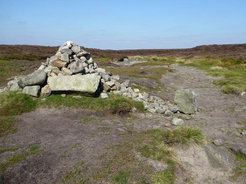
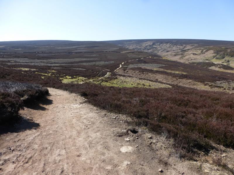
(2) The continuation goes roughly SSE towards Margery Hill but there are some boggy sections to detour around. Below Margery Hill, Cut Gate is crossed which is a wide distinctive track with a large cairn at its highest point. Continue up, past a fenced enclosure, and soon reach more level ground and the trig point of Margery Hill, 546 m.
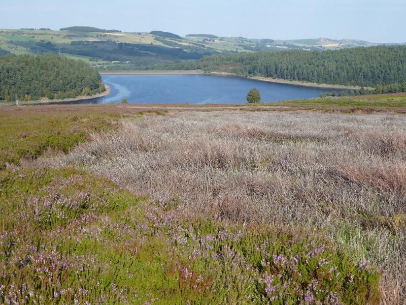
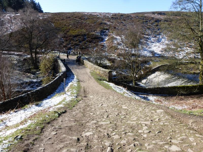
(3) Retrace to Cut Gate and turn right, NE. Follow the path which is fairly obvious but there is one very boggy section. Follow the path down Mickleden Edge and continue descending N, ignoring a right fork. The main path leads down across Hingcliff Common then down to the bridge at the NW end of Langsett Reservoir. Cross the bridge, ascend and go right then follow the outward path back to the car park.
Notes
(a) This walk took place on 17th August, 2016.
Photos - Hover over photo for caption. Click on to enlarge. Click on again to reduce.