Get Lost Mountaineering
You are here: Scotland » 06 Drumochter to Glen Shee » West of Cairnwell Pass
An Socach via Baddoch from A93
An Socach via Baddoch from A93
Start/Finish
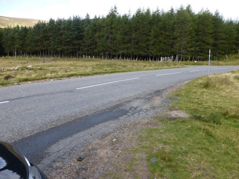
About 4 miles north from the top of the Glen Shee Pass (Ski area) or about 5 miles south of Braemar on the A93. Despite the horrendous appearance of the top of the pass, the cafe is quite good and there are toilets. In winter, of coming from the south, access to the top of the pass may be blocked by snow although much effort is made to keep the road open for the ski slopes. There is a wood on the west side of the A93 with a rough lay by a little further up and across the road.
Distance/Time
15 km. About 5 – 6 hours.
Peaks
An Socach, 944 m, NO 079 799.
East Top, 938 m, NO 099 805. OS sheet 43.
Introduction
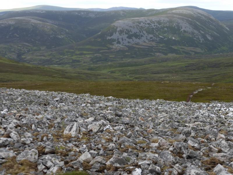
This is a straightforward walk with good views. On a clear day, one can see as far as Beinn a' Bhuird and Ben Avon. Lochnagar will also be seen. The most obvious hills are Beinn Iutharn Bheag and Beinn Iutharn Mhor, Glas Tulaichan, The Cairnwell, Carn Aosda (seen with out the unsightly ski development scars!), Carn Gheoidh and Carn Bhinnein. Across the A93, Carn an Tuirc, Carn of Claise, Glas Maol and Creag Leacach are all well seen. In very clear weather, most of the Cairngorm peaks can be picked out.
Route
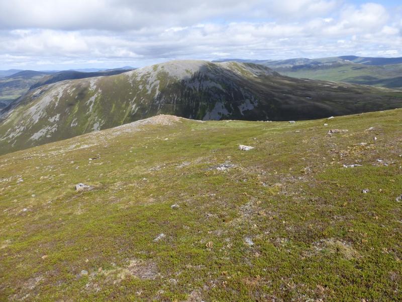
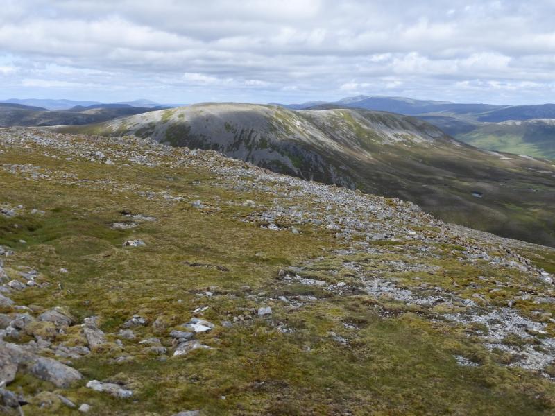
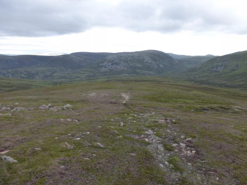
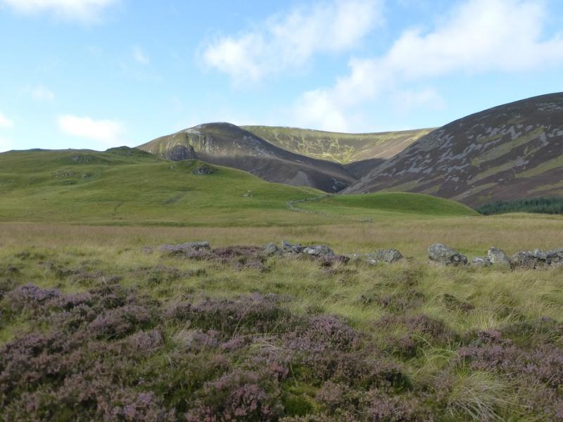
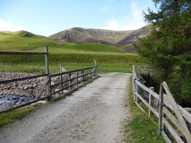
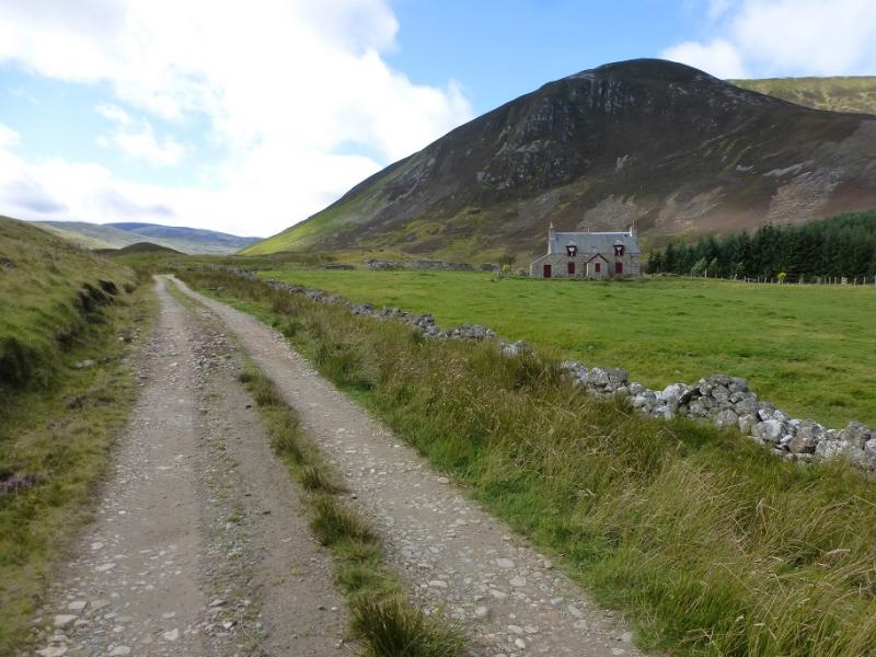
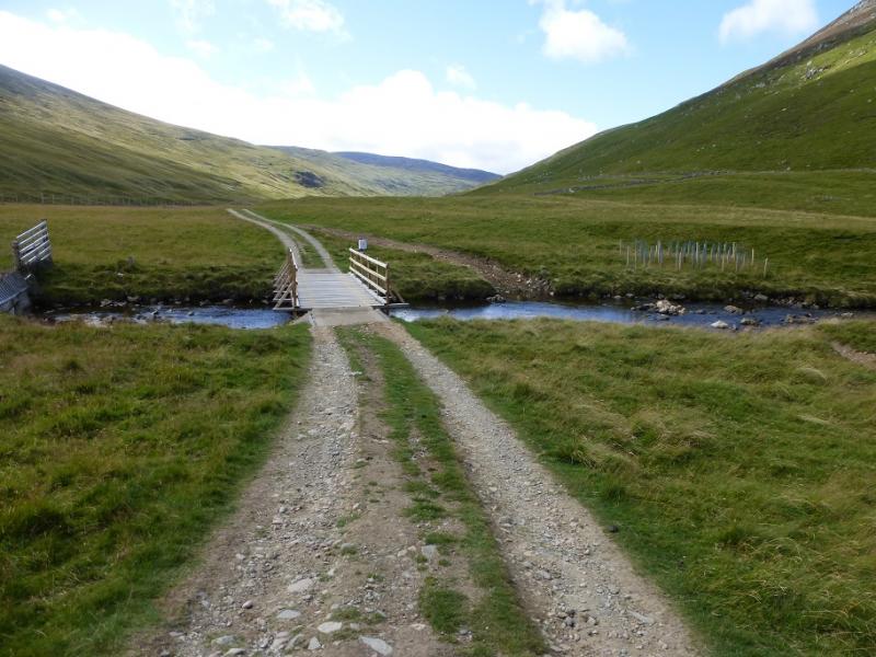
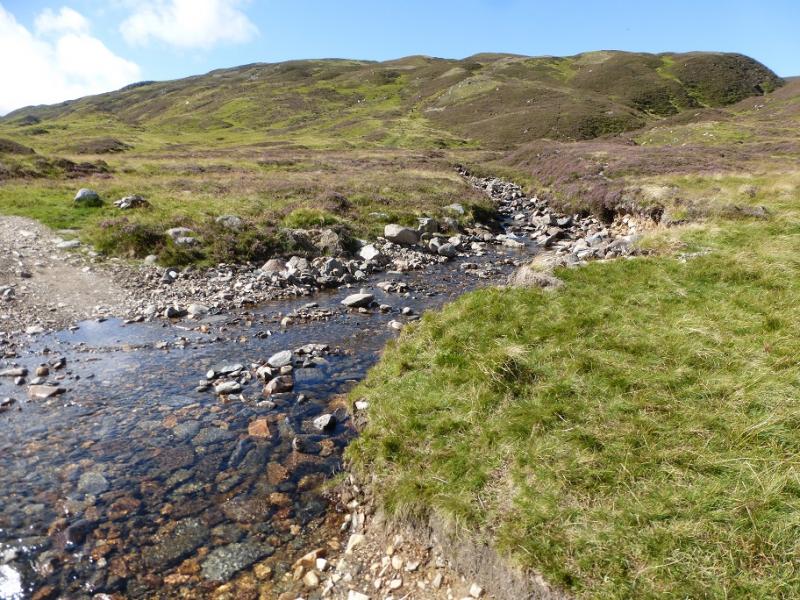
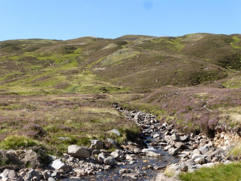
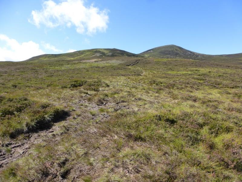
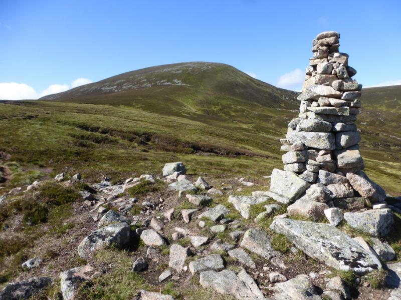
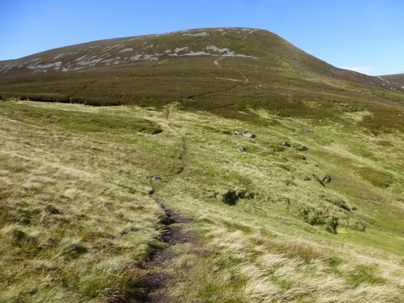
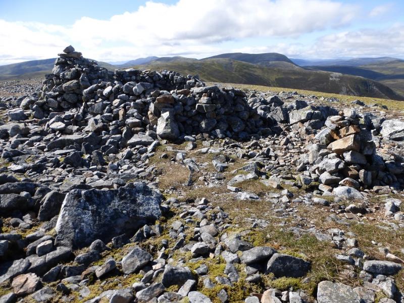
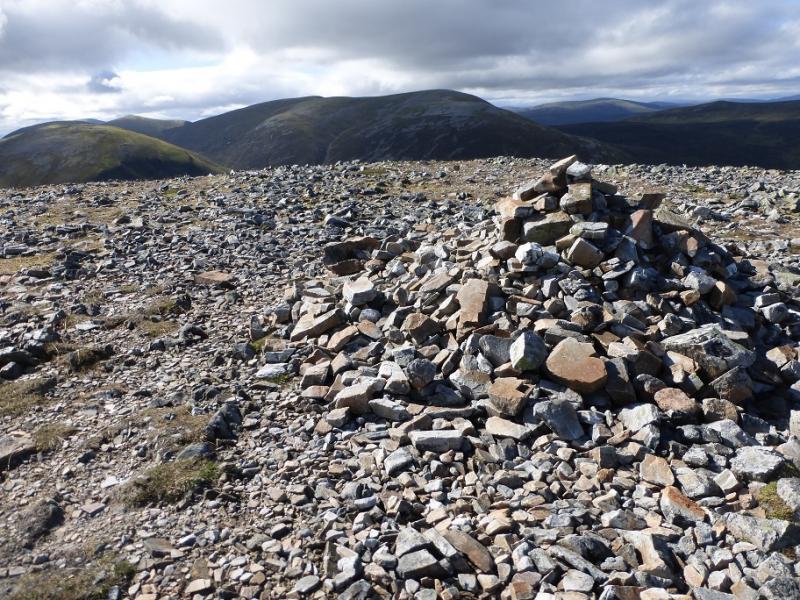
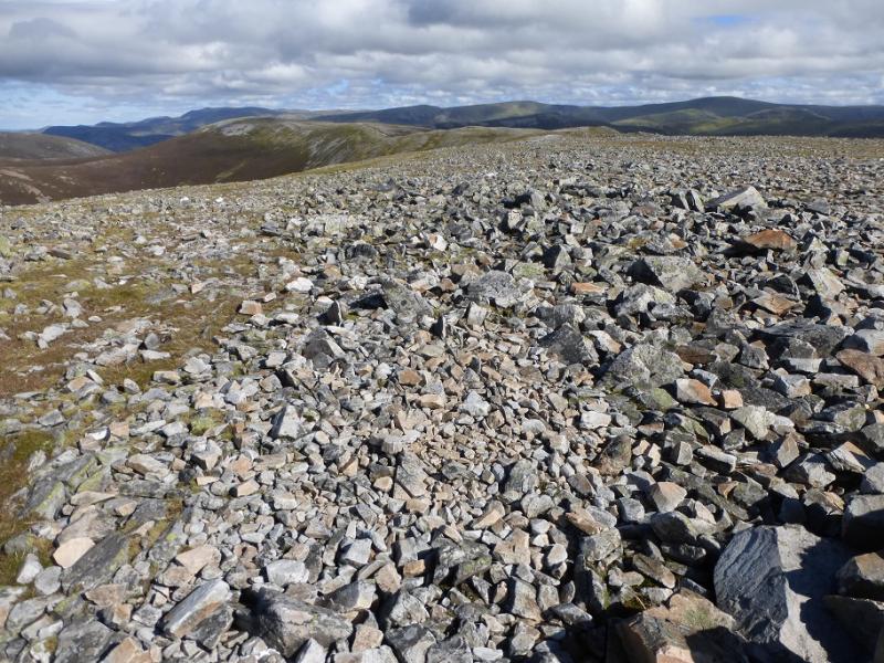
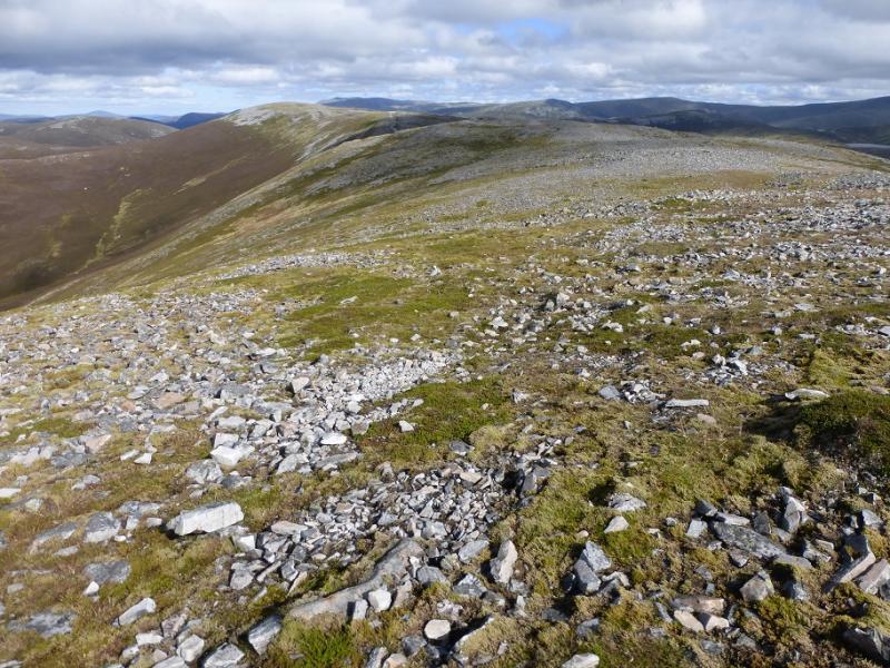
(1) Walk up the track by the wood and soon cross the bridge over Clunie Water. Soon after, the track splits. Follow the left fork which starts to follow the Baddoch Burn upstream and soon passes the isolated house at Baddoch. Further on, the track crosses the Baddoch Burn by another bridge. Continue until the track fords a stream with a fenced enclosure to the left. Just after the ford, there is a small cairn which is the start of the path up An Socach. Follow the path, which gradually diverges from the stream; it can be boggy in places. In clear weather, a pillar cairn will be seen from below and the path goes there then continues up steeper slopes to reach the crest of An Socach where a shelter cairn marks the summit of the East Top, 938 m.
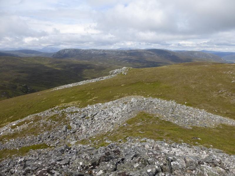
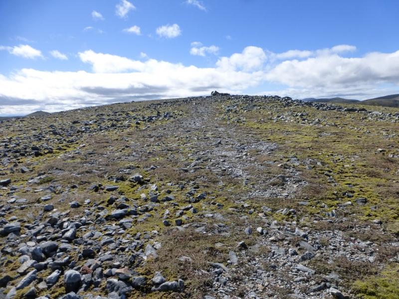
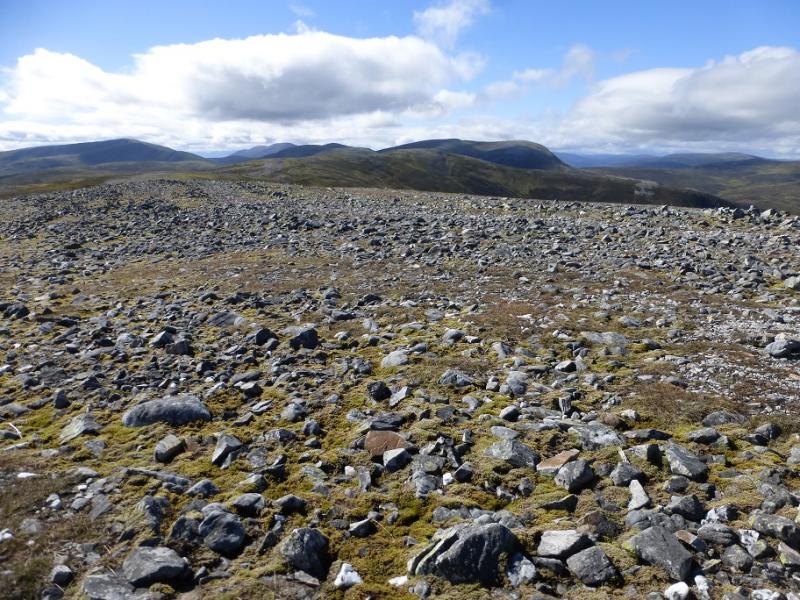
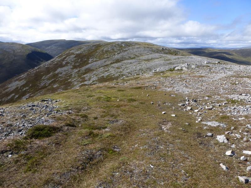
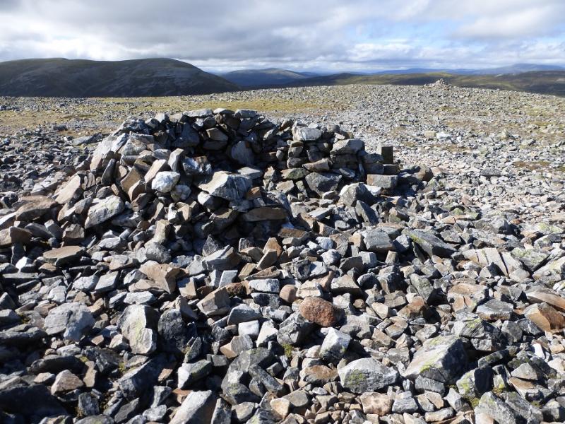
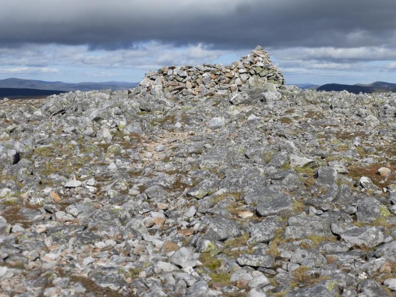
(2) Continue along the broad and stony crest where the path can be difficult to follow in places. There is no major loss of height and, in about 2 km, one reaches a shelter cairn with a medium cairn about 50 m further. Both seem to be at about the same height but one is the summit of An Socach, 944 m.
(3) Retrace the outward route.
Notes
(a) This walk took place on 6th September, 2016, and about 12 years earlier. It was climbed about 25 years ago in a long round which included Carn Bhac and Beinn Iutharn Mhor.
Photos - Hover over photo for caption. Click on to enlarge. Click on again to reduce.