Get Lost Mountaineering
You are here: Scotland » 06 Drumochter to Glen Shee » West of Cairnwell Pass
Cairnwell, Creag Gheoidh & Carn Aosda from Top of Glen Shee Pass
Cairnwell, Creag Gheoidh & Carn Aosda from Top of Glen Shee Pass
Start/Finish
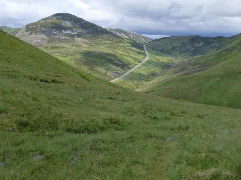
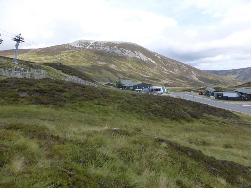
Top of the Glen Shee Pass (Ski area) which is about 9 miles south of Braemar on the A93. Despite the horrendous appearance of the top of the pass, the cafe is quite good and there are toilets. The cafe is at a height of about 650 m which gives a good start. In winter, access to the top of the pass may be blocked by snow although much effort is made to keep the road open for the ski slopes.
Distance/Time
15 km. About 5 – 6 hours
Peaks
The Cairnwell, 933 m, NO 134 773.
Carn a' Gheoidh, 975 m, NO 107 767.
Carn Bhinnein, 917 m, NO 091 762.
Carn Aosda, 917 m, NO 091 762. OS sheet 43.
Introduction
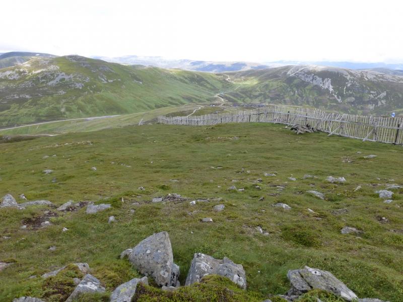
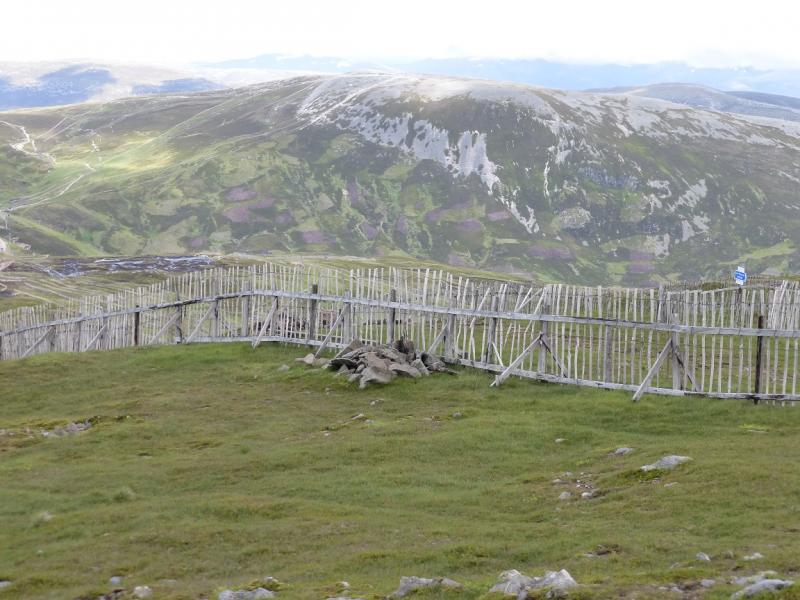
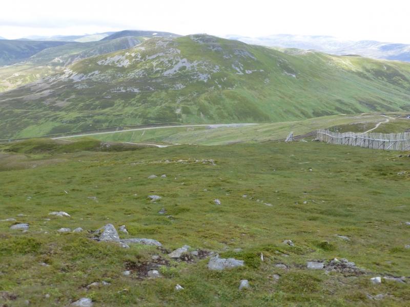
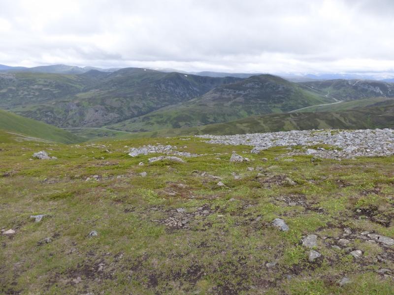
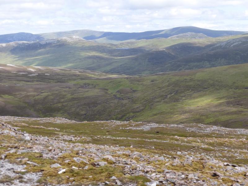
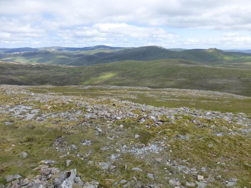
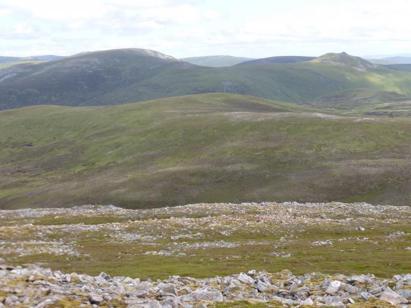
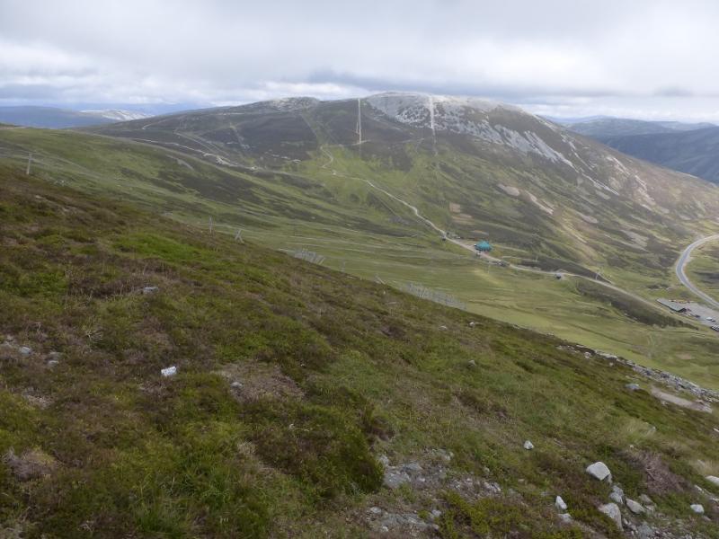
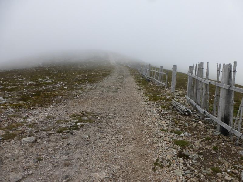
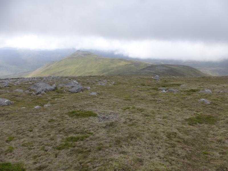
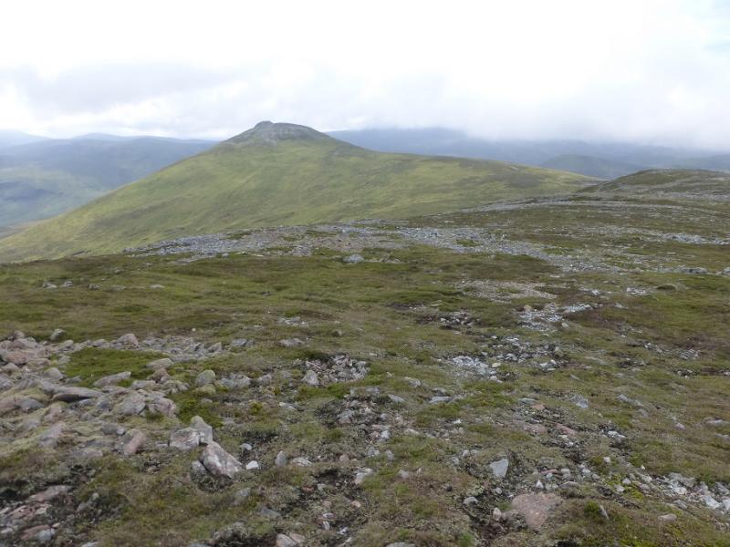
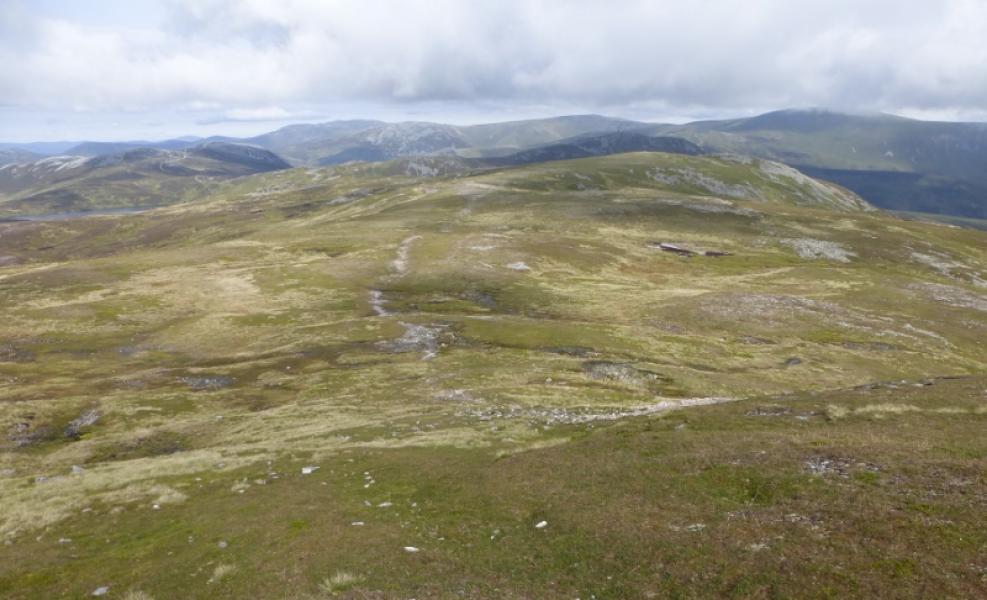
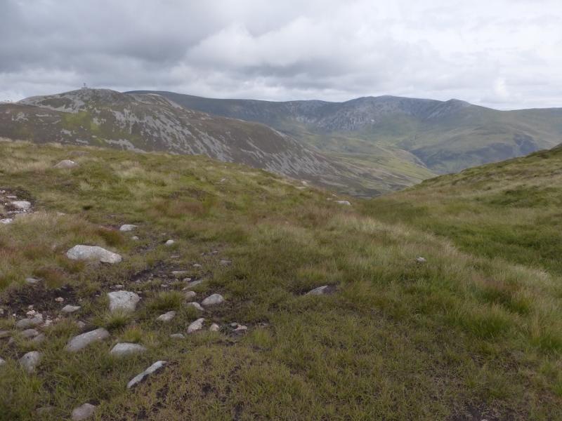
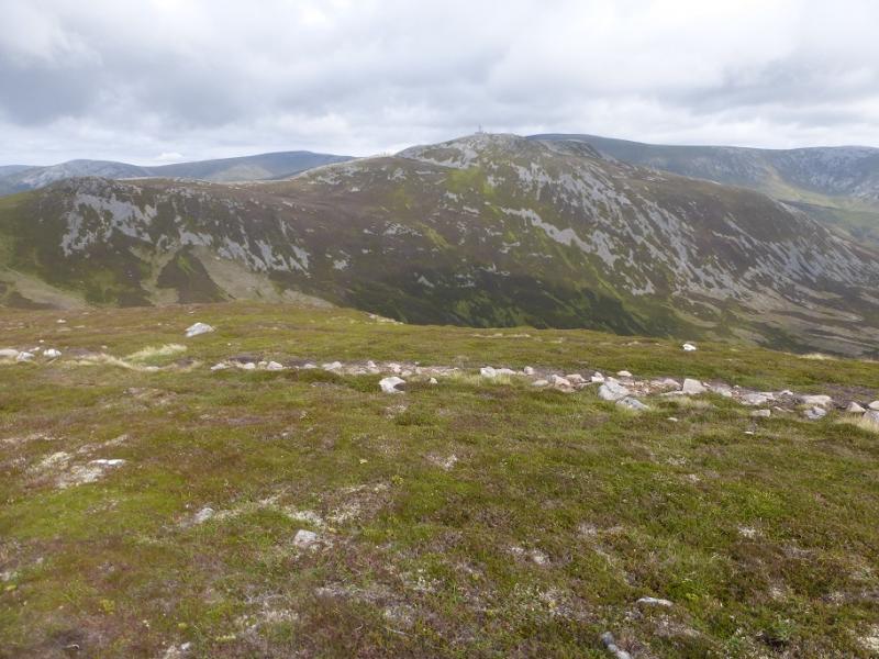
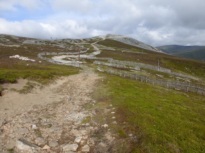
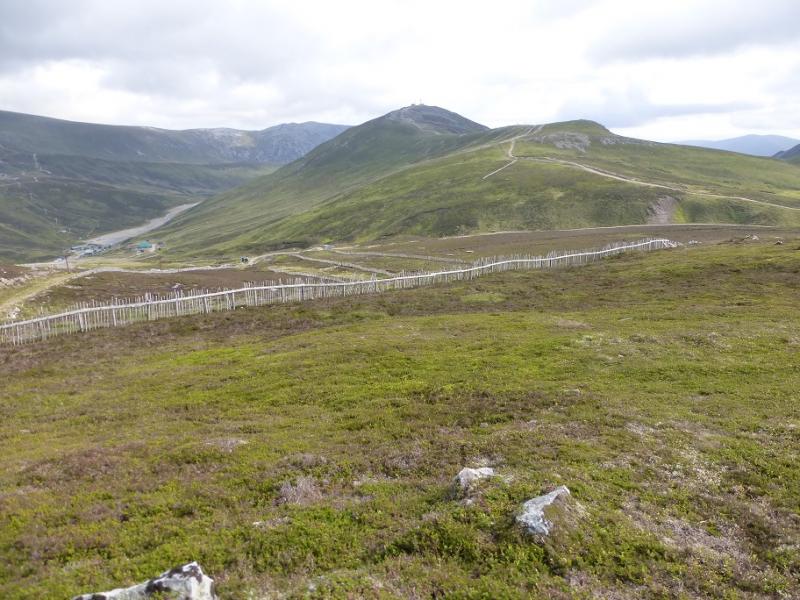
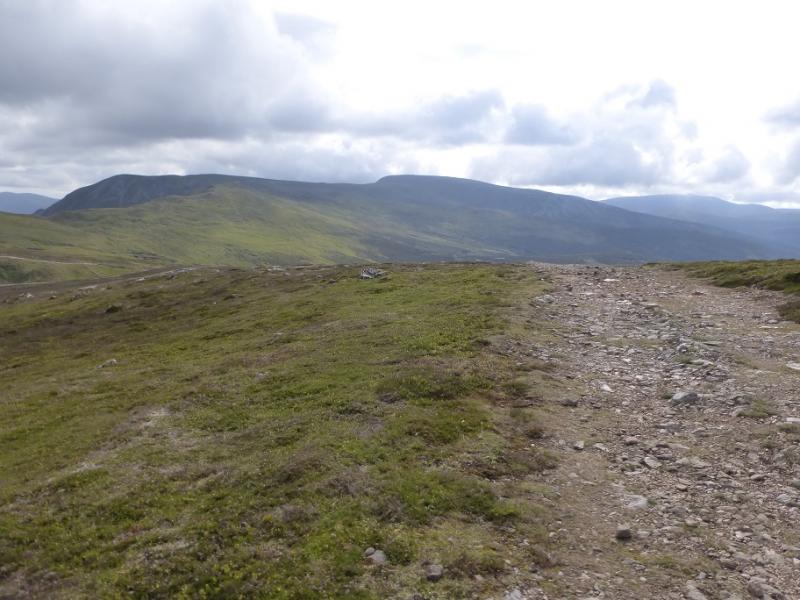
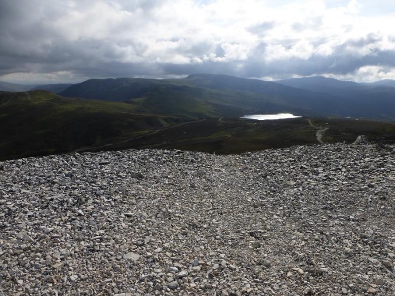
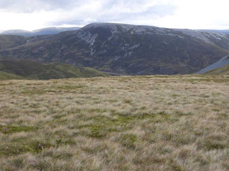
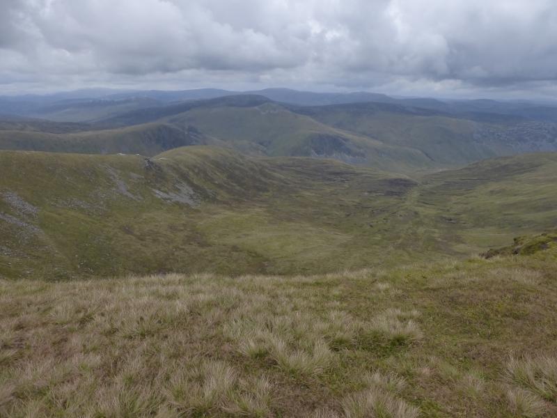
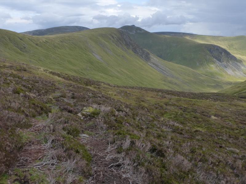
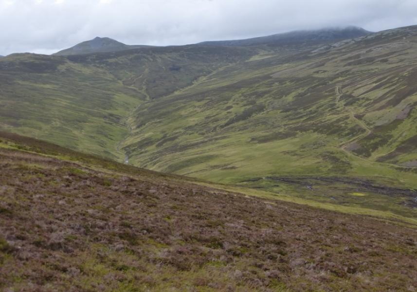
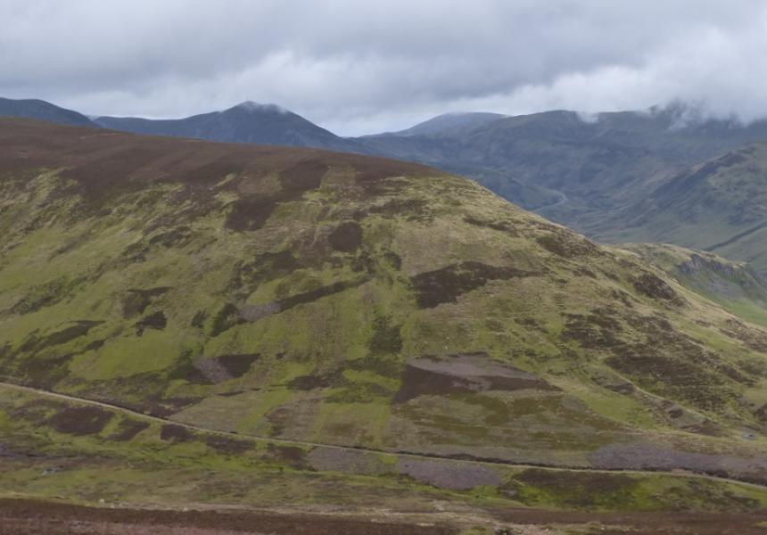
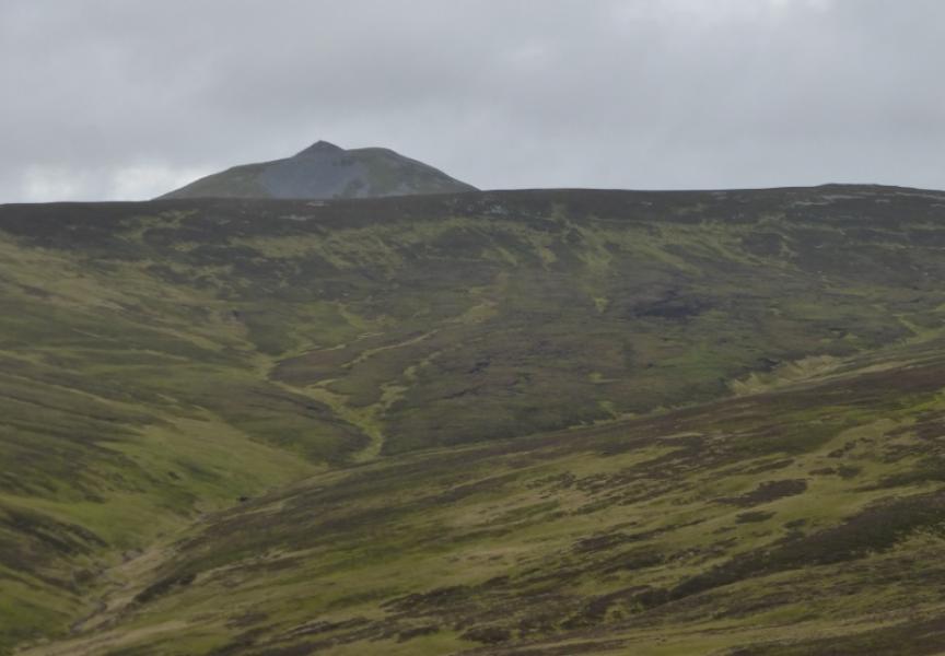
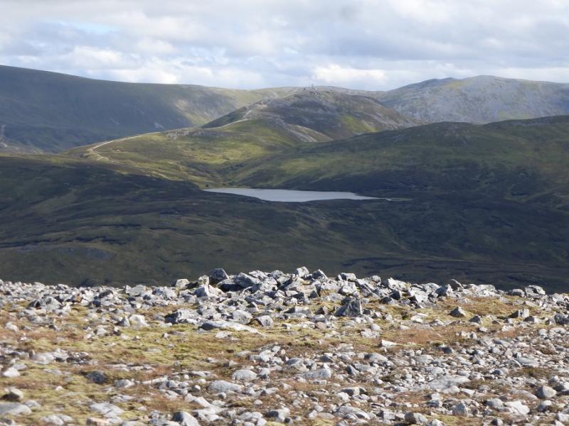
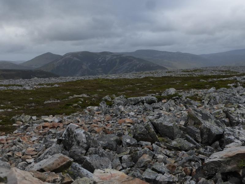
This is a straightforward walk with good views despite the ugly scars from the skiing developments around the top of the pass. Carn Aosda could be renamed Carn Eyesore! On a clear day, one can see as far as Beinn a' Bhuird and Ben Avon. Lochnagar will also be seen. The best view is of Glas Tulaichean from Carn Bhinnein. All the hills (and scars) around the Glen Shee road (A93) are well seen. Carn Bhinnein is worth visiting as it is the best summit in the range. In summer conditions, navigation is not too difficult in mist although the large plateau of Carn nan Sac may be difficult for some to navigate. The direct descent from Carn Aosda is on a steep and rough track.
Route
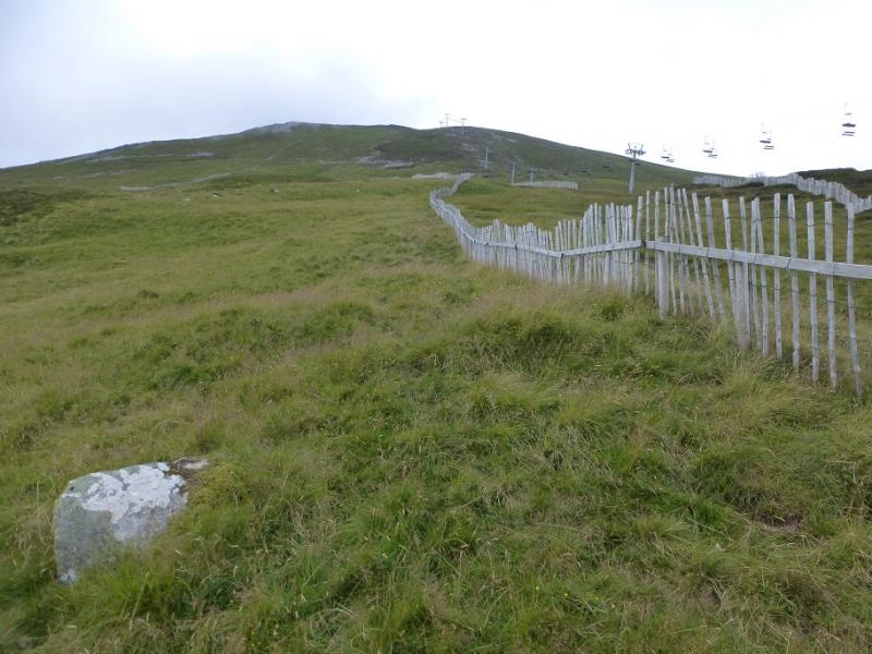
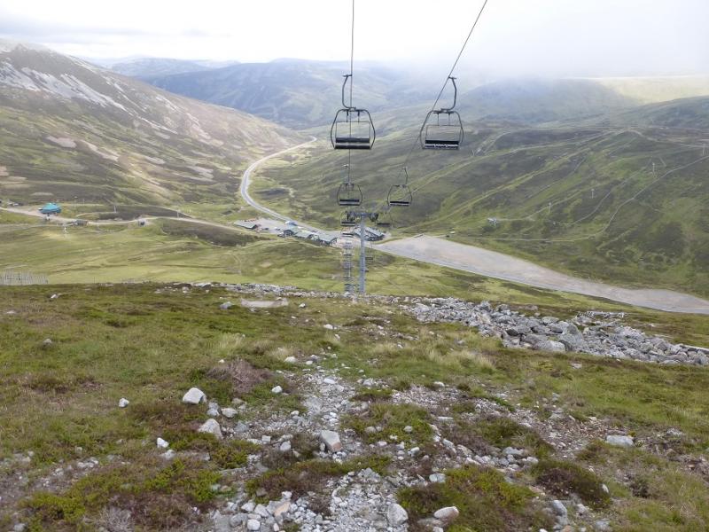
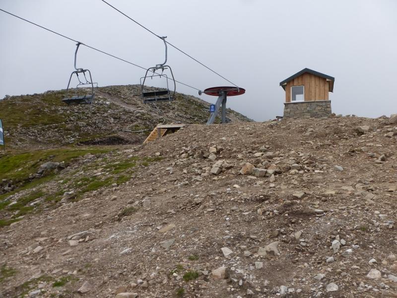
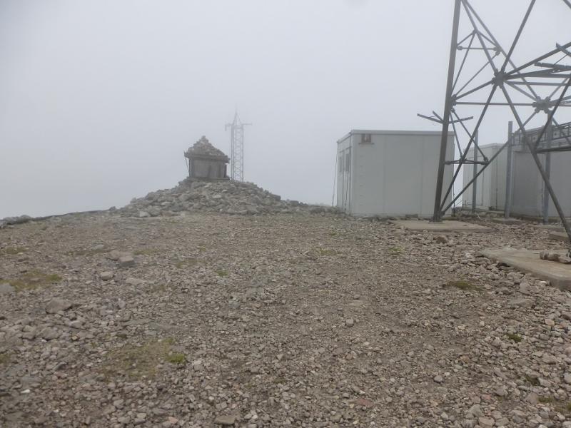
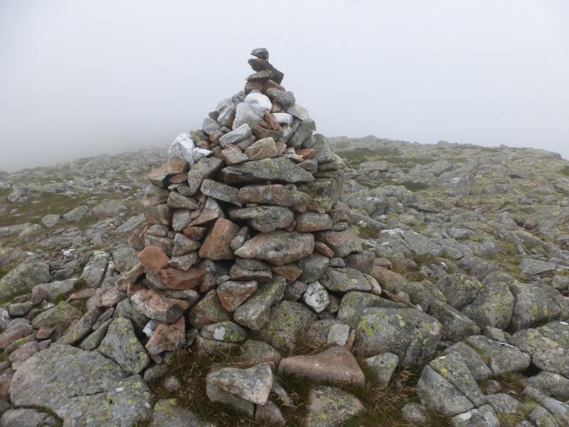
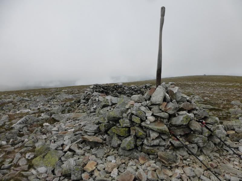
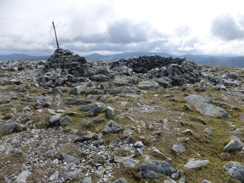
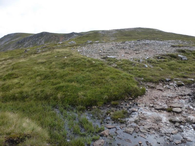
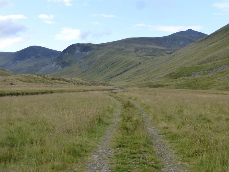
(1) From the S side of the cafe, walk up the line of the chair with the best going probably just to the right of the chair lift. It is steep but not for too long and the angle soon eases to reach the top of the chair lift. Turn left, S, and follow the rough path/track up the buildings and aerial, near to which is a large cairn, with a “box” on its top, which is the summit of The Cairnwell, 933 m.
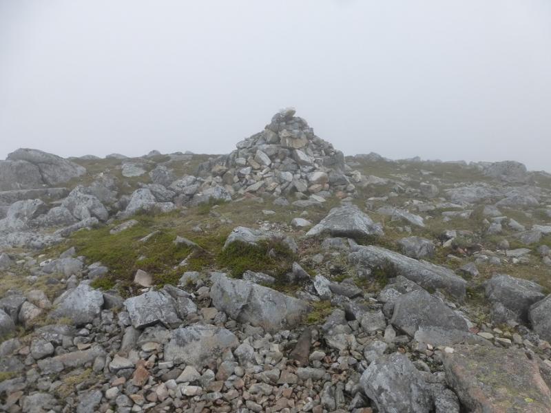
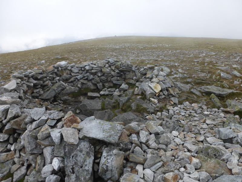
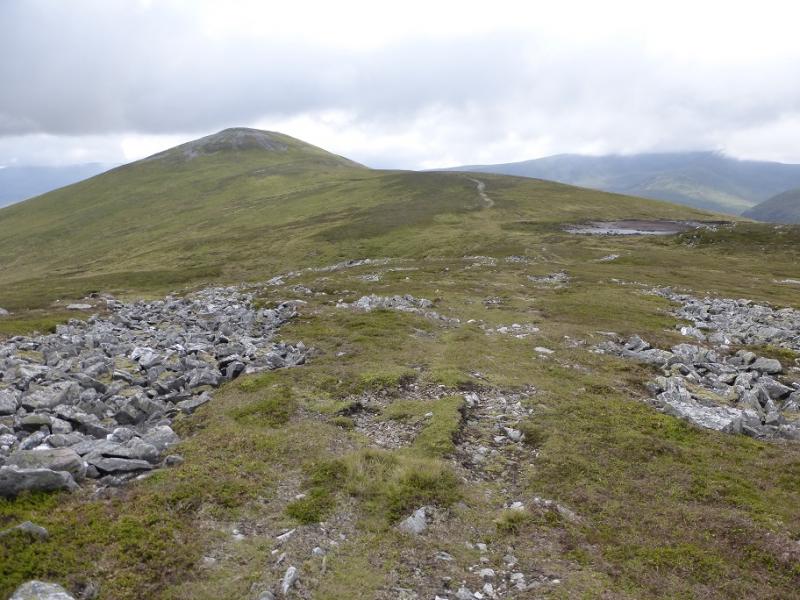
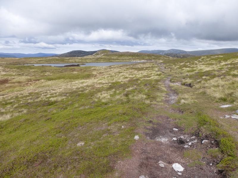
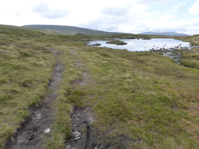
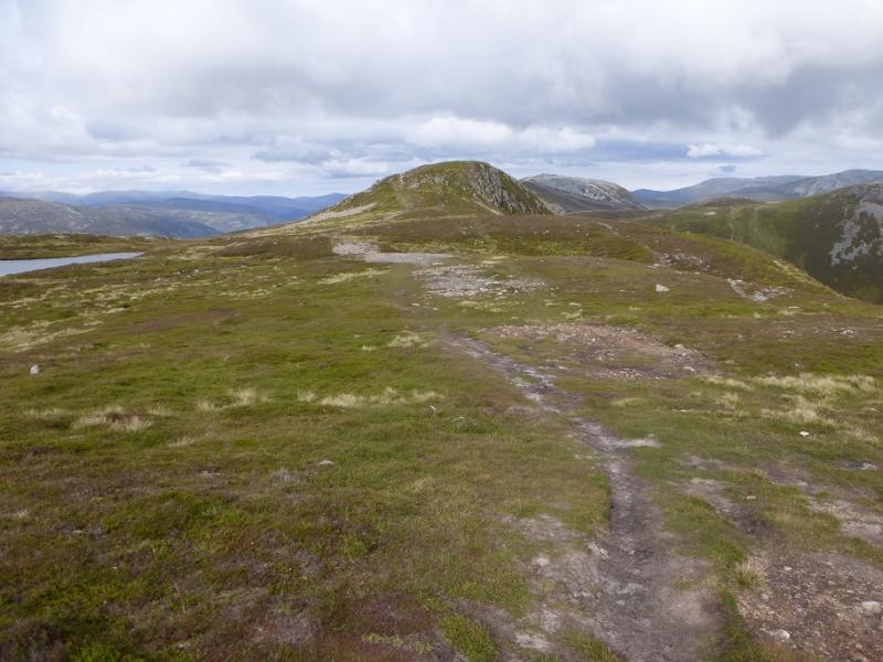
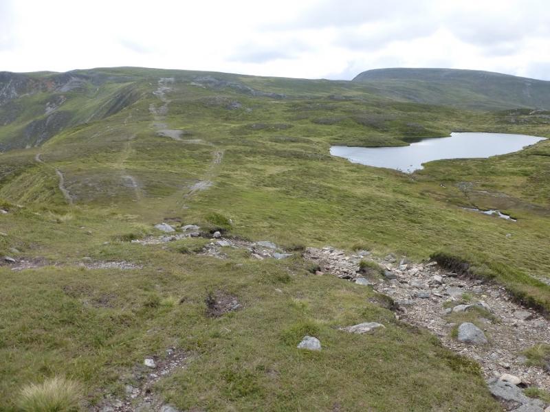
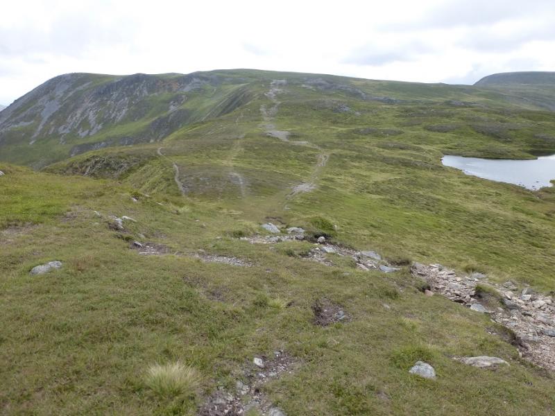
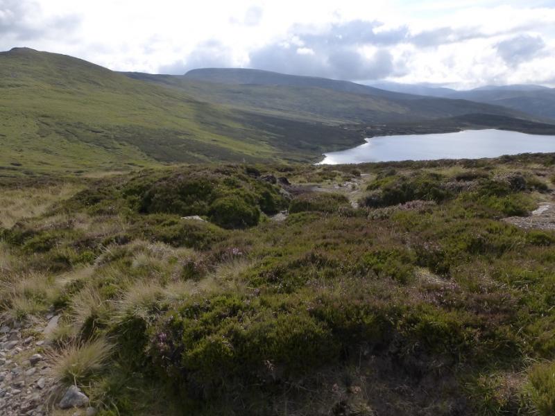
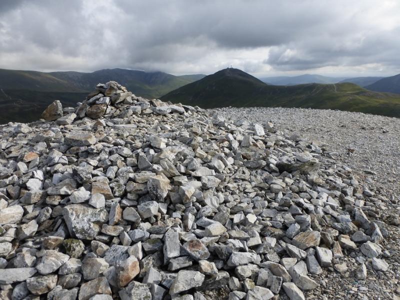
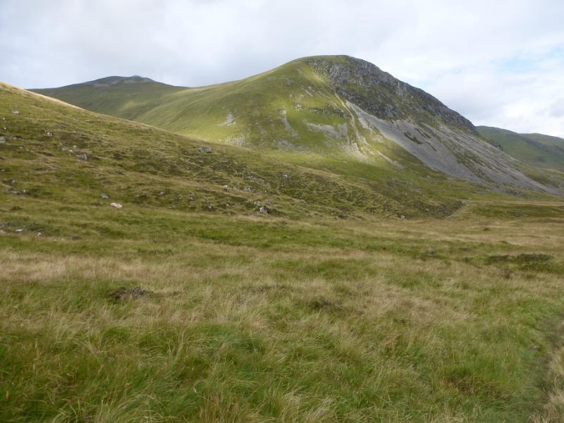
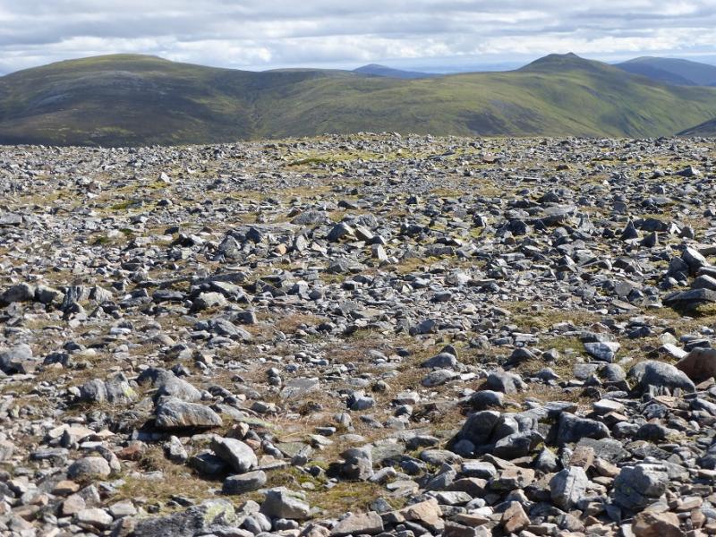
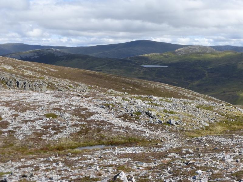
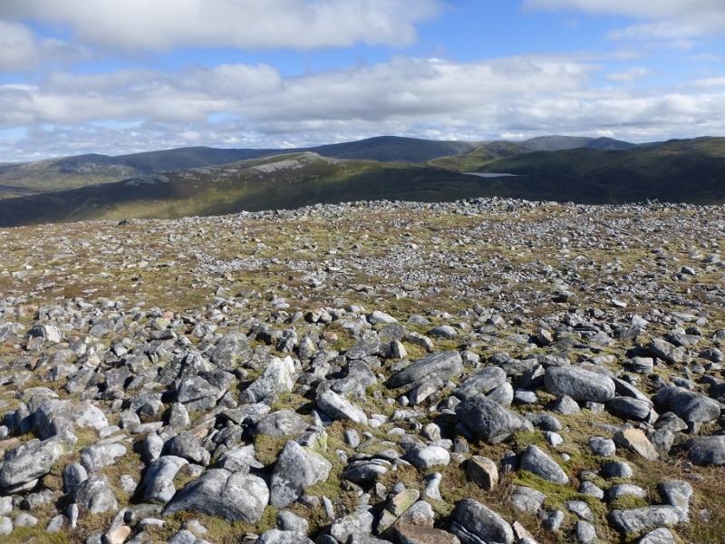
(2) Descend the track down the N ridge which is to the left of the fence. There are numerous options with at least 4 paths going to the col between The Cairnwell and Carn nan Sac. The easiest way is to go to to the second top, just above the col to Carn Aosda and go over this and follow a path W, down a short ridge, to join a path coming from lower down the track. This path soon descends into the col between The Cairnwell and Carn nan Sac then ascends more steeply W before turning SW when the gradient eases. Stay on the crest, passing two lochans in quick succession. At the second one, the path splits. The right fork traverses Carn nan Sac and joins the crest to Carn a' Gheoidh. The straight on path goes up the N ridge of Carn nan Sac to reach a stony plateau where there is a cairn marking the summit. Note that another path seems to drift left and will take one to the far SW cairn and SW cairn (from the summit). These may be very confusing in mist as the SW cairn is larger than the summit cairn! From the summit cairn, walk roughly W along the middle of the broad crest to reach the traverse path from the lochan. The path then continues, with one steep rise, to the stony plateau where there is a large cairn next to a shelter cairn and this is the summit of Carn a' Gheoidh, 975 m.
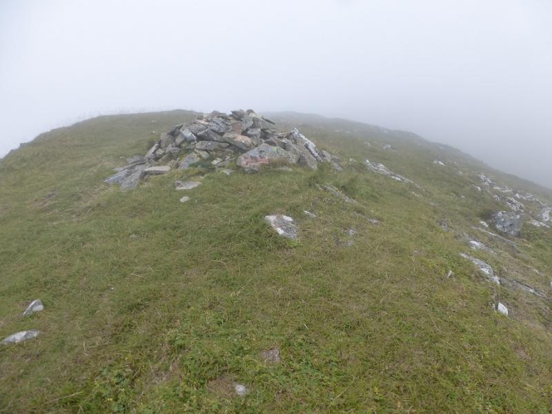
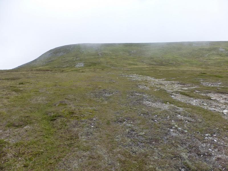
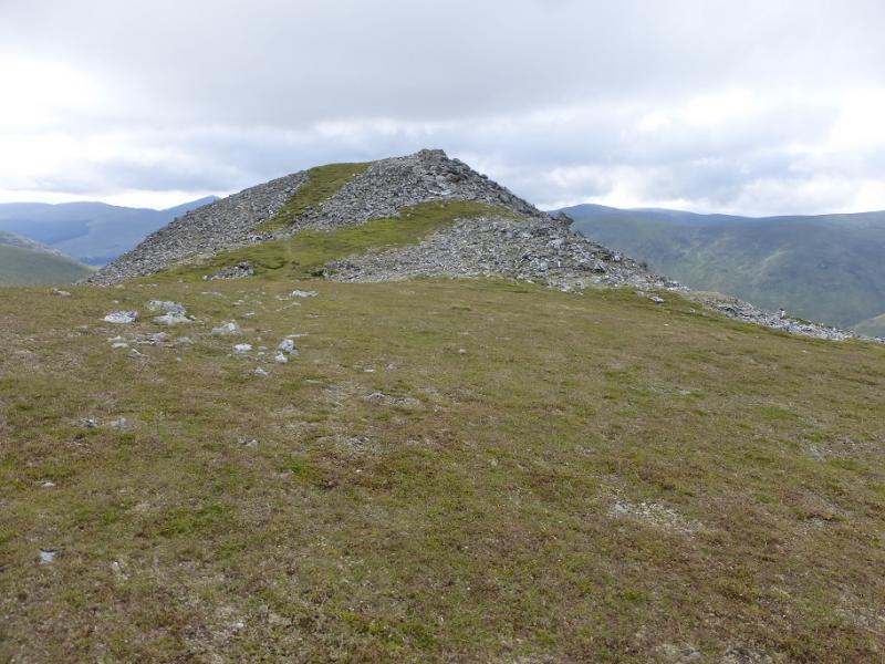
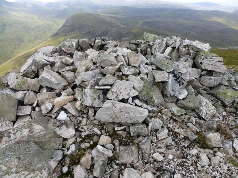
(3) Go NW, across the plateau, to another cairn then descend W, on a path which becomes more distinct lower down, to a col where the ridge turns SSW just after a lochan (on the map) which can dry up in the summer. The, now obvious, path ascends easily to a stony summit where a small shelter cairn marks the summit of Carn Bhinnein, 917 m.
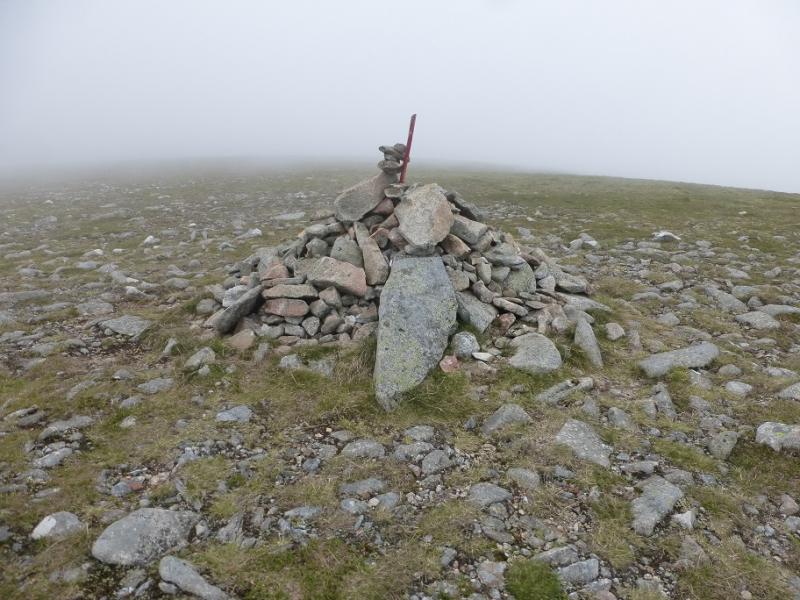
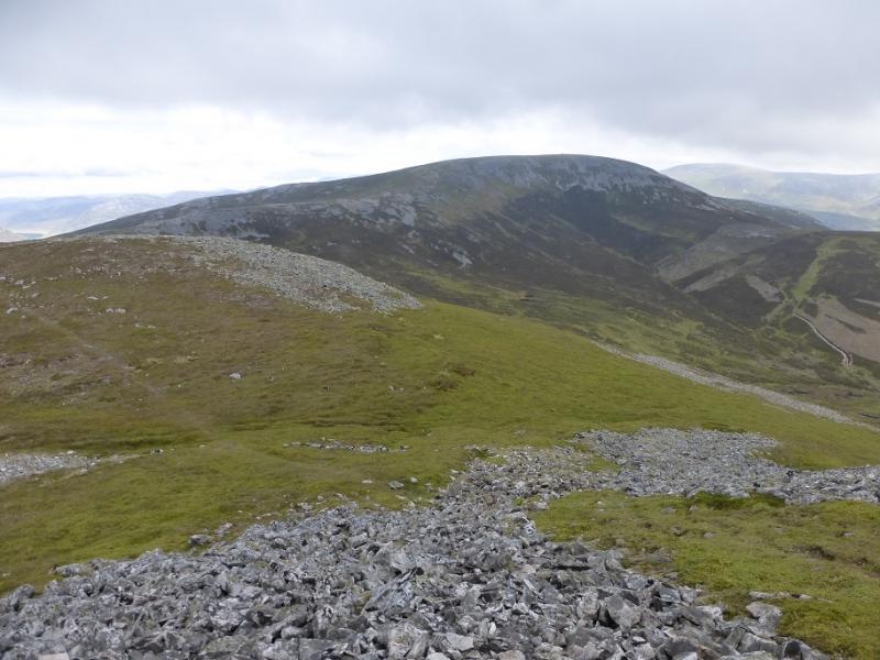
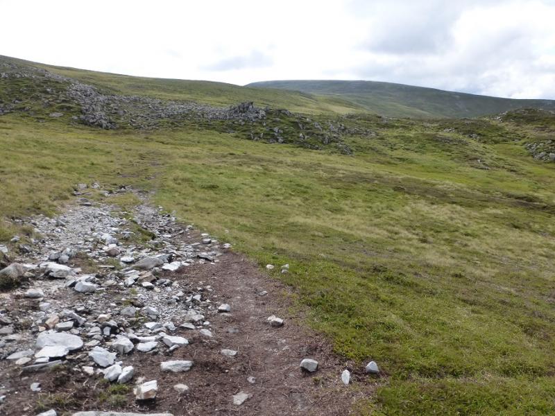
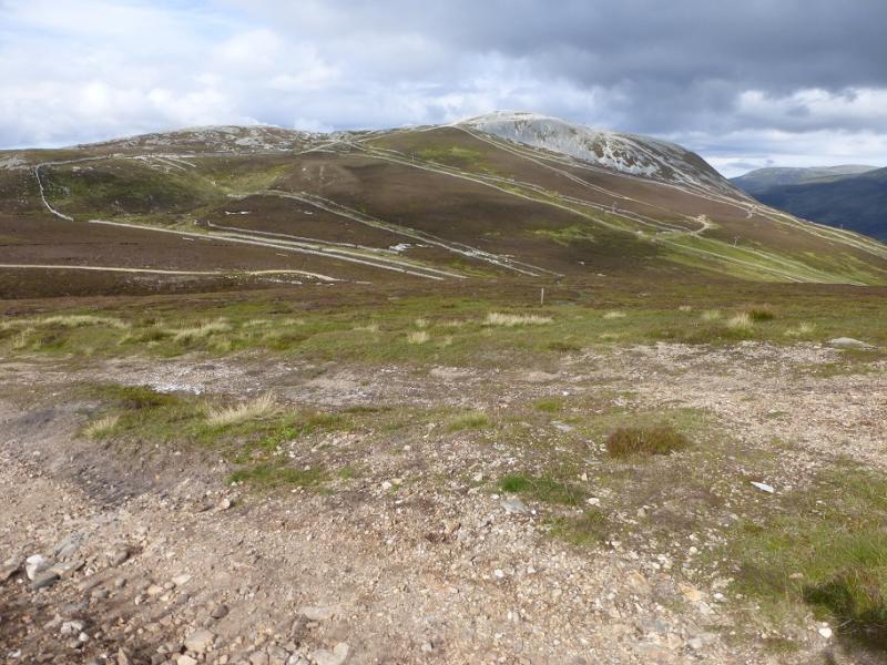
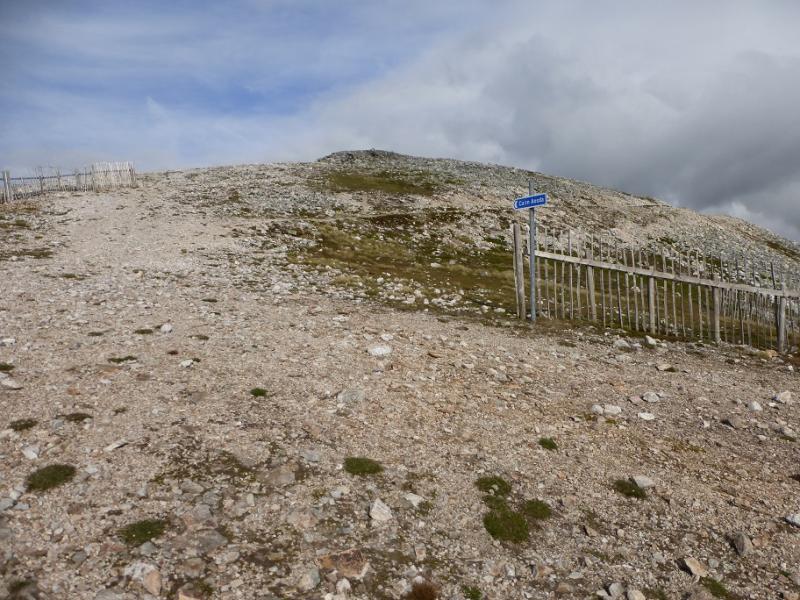
(4) Retrace to the summit of Carn a' Gheoidh then follow the path towards Carn nan Sac but follow it off the left hand side of the crest at about the lowest point. The path traverses Carn nan Sac and leads down to the first of the pair of lochans where it joins the path off Carn nan Sac. Follow the path past the second lochan and continue, with one rise, to reach the track on the lower N ridge of The Cairnwell. Turn left, descending a little, and follow the track which curves around and starts ascending the SW ridge of Carn Aosda. Follow this rough track up to reach a sign for Carn Aosda then continue straight up, ignoring the track forking right, and soon reach the large cairn which is the summit of Carn Aosda, 917 m.
(5) Retrace a short distance then descend the first steep track on the left and follow it down to the car park in about 30 minutes. To avoid the steeptrack, use the ascent track to reach the track near the col to The Cairnwell and follow this down. It is much longer but a lot less steep.
Notes
(a) This walk took place on 25th August,2016, and about 10 and 20 years earlier.
(b) Omitting Carn Bhinnein would save just over an hour but it is the finest peak in the range.
Photos - Hover over photo for caption. Click on to enlarge. Click on again to reduce.