Get Lost Mountaineering
You are here: Scotland » 03 North-west Argyll, Appin and Glencoe » Blackmount & East of Glen Etive
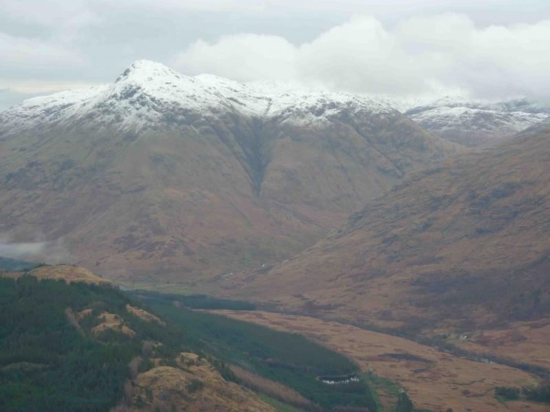
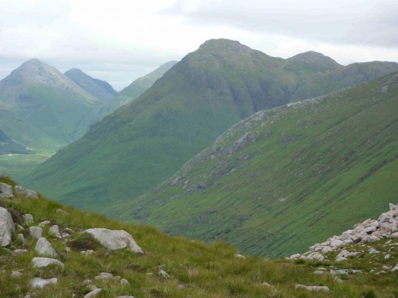
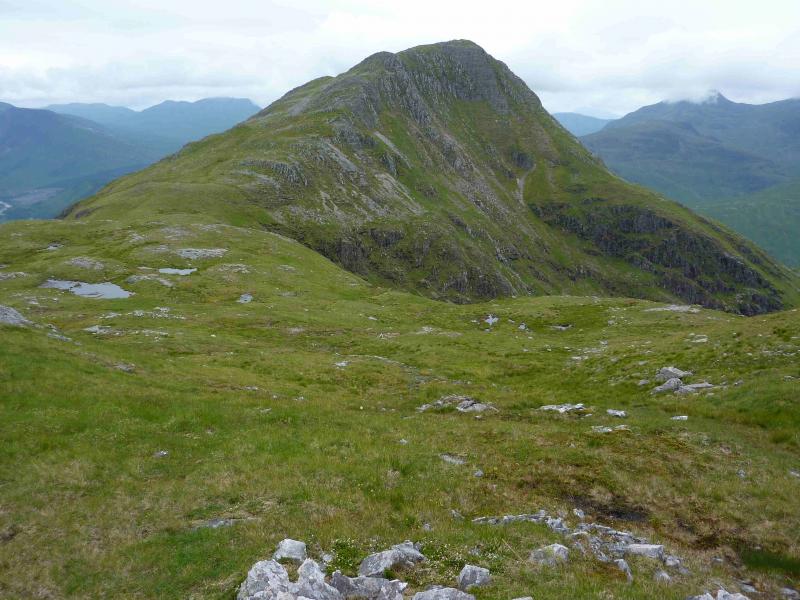
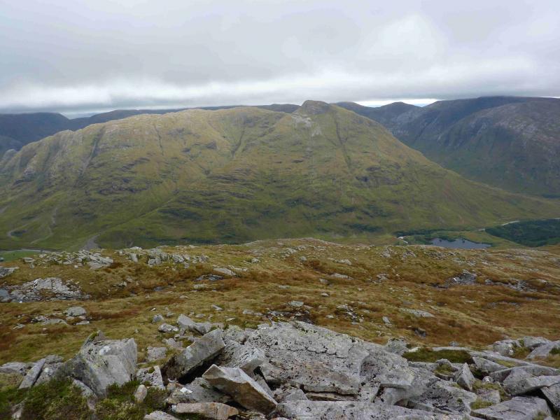
Stob Dubh, Glen Etive
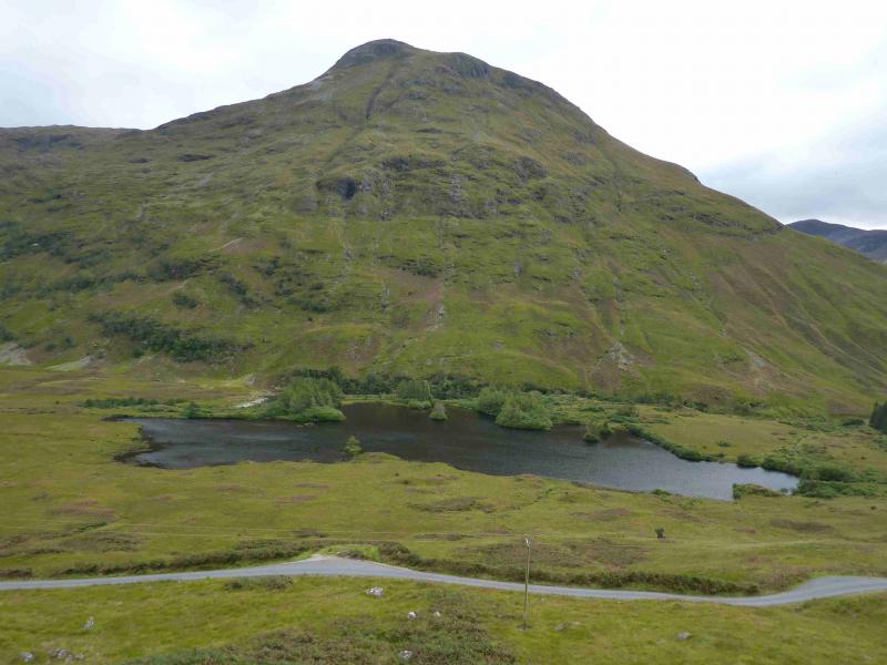
Stob Dubhfrom lower Glen Etive
Start/Finish
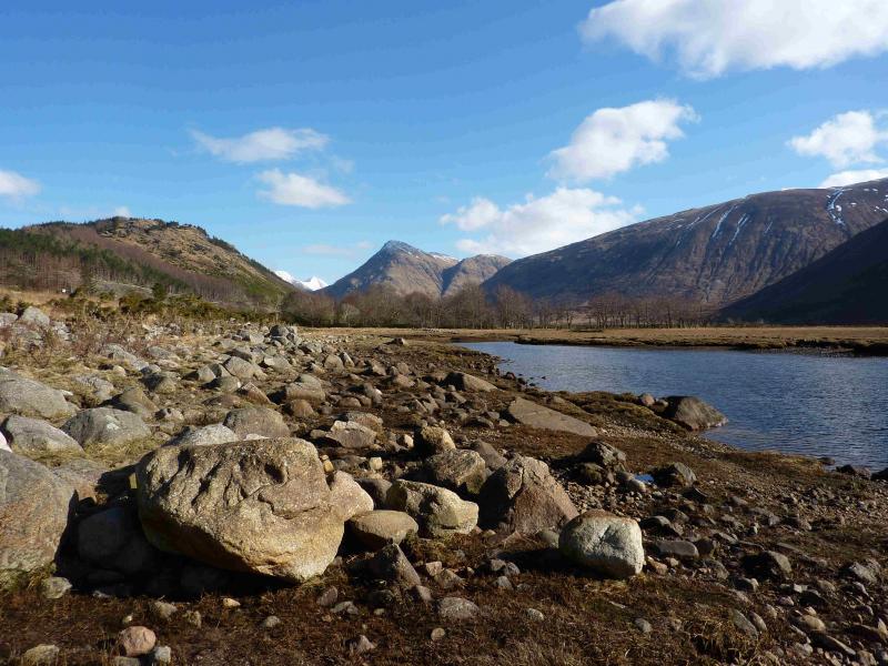
Small “car park” (holds about 4 cars) at about NN 137 468 in lower Glen Etive. This is just before the track which cuts back down to the River Etive to Coiletin and about 2 miles before Loch Etive.
Distance/Time
15 km About 6 - 7 hours
Peaks
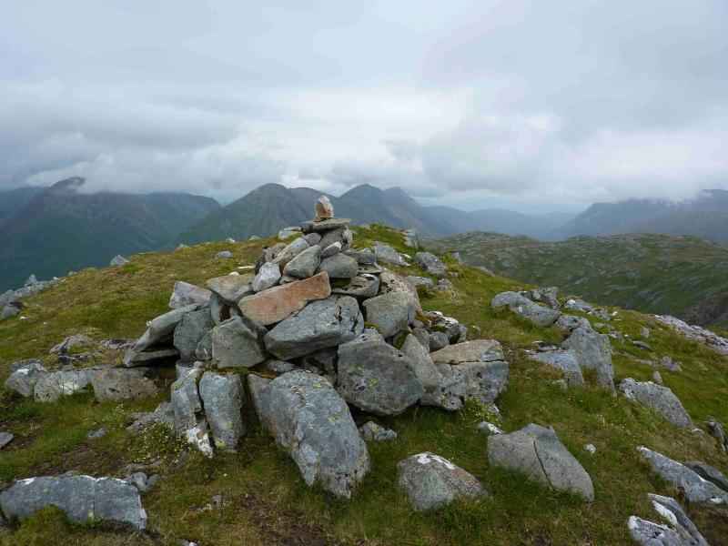
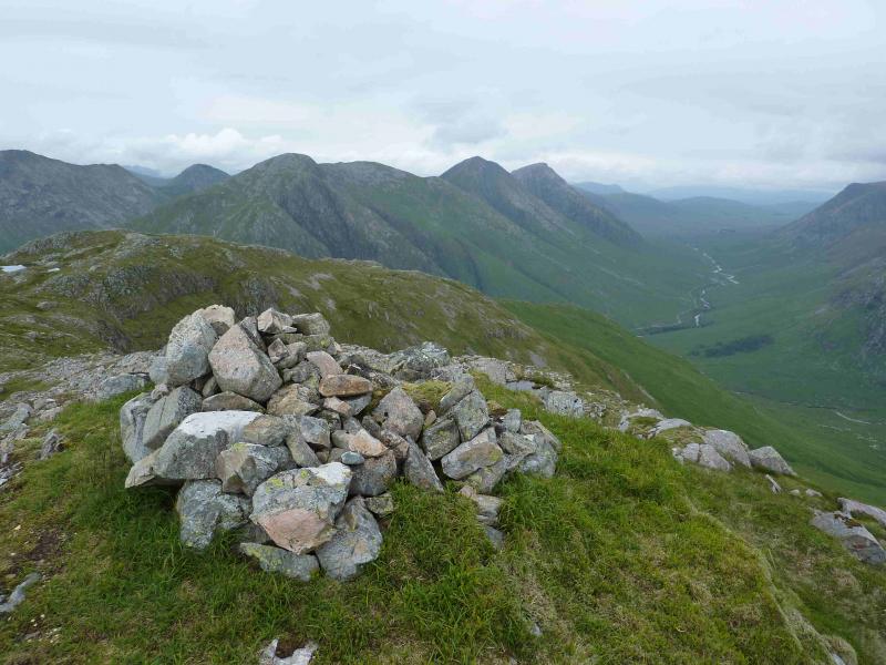
Stob Dubh, 883 m, NN 166 488.
Beinn Ceitlein, S Top, 845 m, NN 174 488.
Beinn Ceitlein, N Top, 832 m, NN 177 493. OS Sheet 50.
Introduction
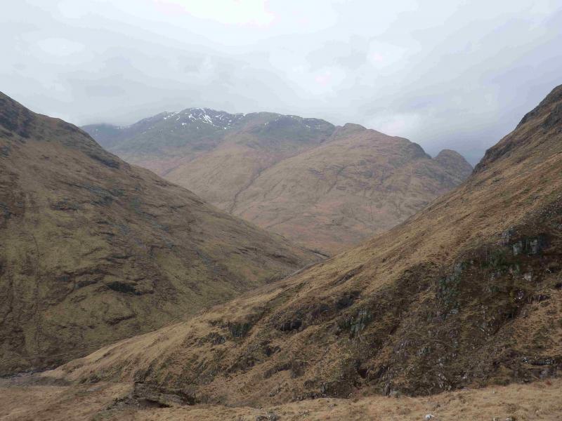
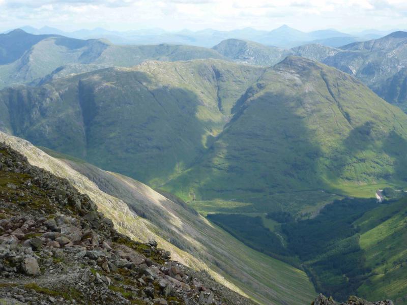
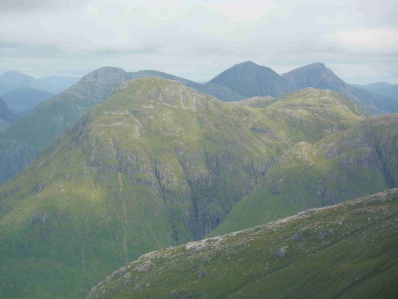
This is a steep and tough walk both in ascent and descent. In winter conditions, this would be a very serious undertaking. Even in wet summer conditions, one has to be very careful on steep wet and slippery grass. The views from the summit are superb and include all the Glen Etive peaks and beyond.
Route
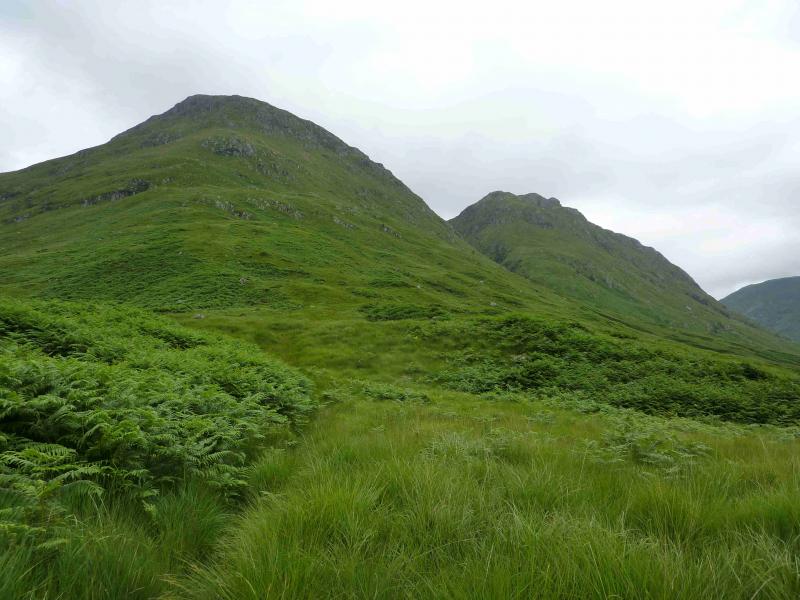
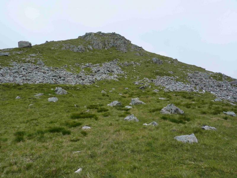
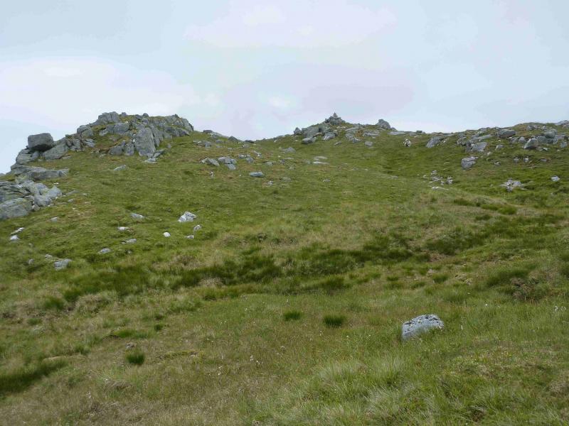
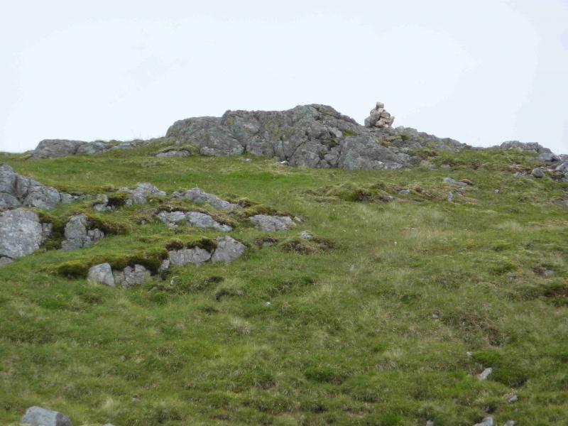
(1) From the car park, walk about 50 m towards Loch Etive then take the track down to the bridge over the River Etive. Continue across the bridge and take the left turn soon after. Continue along the track and cross the bridge over the Allt Ceitlein. Continue along the track towards the cottage at Glenceitlein but leave the track before the cottage to gain the prominent SW ridge of Stob Dubh. Once on the crest, a path can be followed but this may be difficult to follow higher up. If in doubt, try to stay on the crest which turns out not to be as rocky as it looks from below. Any crags encountered are usually by passed on the right – going left may lead one on to very steep grass. Above the crags, the angle eases but is still steep and soon the medium cairn which marks the summit of Stob Dubh, 883 m is reached.
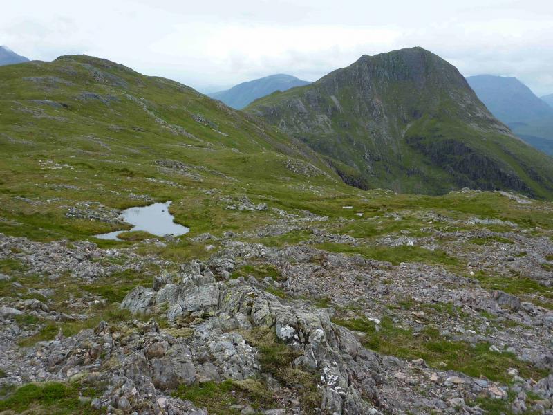
(2) Descend roughly ESE down steep slopes to reach a broad, mainly grassy, ridge which connects to Beinn Ceitlein. In clear weather, easier ground can be found by descending more to the S first then going E. From the bealach, ascend E then NE to reach the small cairn which marks the summit of Beinn Ceitlein, 845 m.
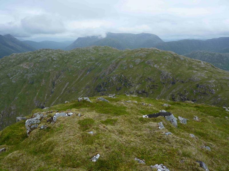
(3) It is worth continuing NNE to the N top which is a better viewpoint for the hills at the top end of Glen Etive. There is a small cairn which marks the summit of Beinn Ceitlein N Top, 832 m.
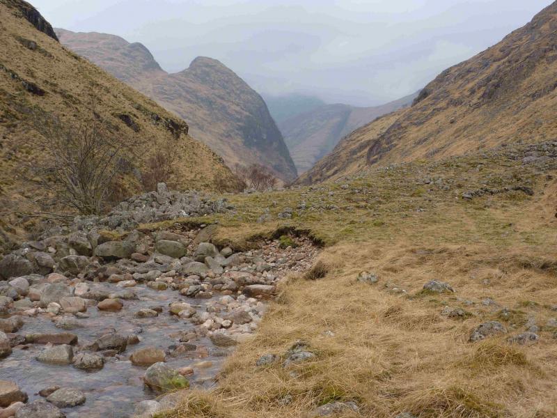
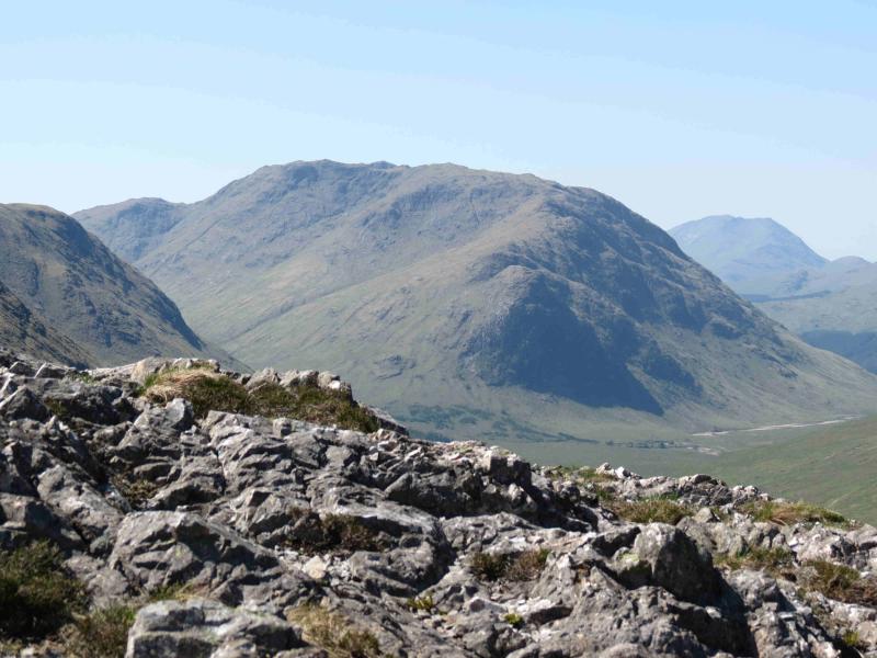
(4) Return along the ridge towards the S Top but stay on the E edge of the crest. Before the S Top is reached, there is a wide grassy area going down the E flank. Descend down here carefully. Lower down, there is a narrow rocky gully with a stream in it (not shown on the 1989 OS map 50). The grassy slopes to the left, N, of this gully, can be descended with care and possibly some weaving around. Soon much easier ground is reached so aim for the head of Glen Ceitlein and follow the Allt Ceitlein down to the bridge. There is a faint path on the N side of the burn which improves with distance. Cross the bridge and follow the track SW, turning right at the junction then crossing the large bridge over the River Etive before continuing back to the road.
Notes
(a) This walk took place on 5th June, 2001, and 17th July, 2012.
Photos - Hover over photo for caption. Click on to enlarge. Click on again to reduce.