Get Lost Mountaineering
You are here: Scotland » 06 Drumochter to Glen Shee » West of Cairnwell Pass
Glas Tulaichean & Carn an Righ from Dalmunzie Hotel
Glas Tulaichean & Carn an Righ from Dalmunzie Hotel
Start/Finish
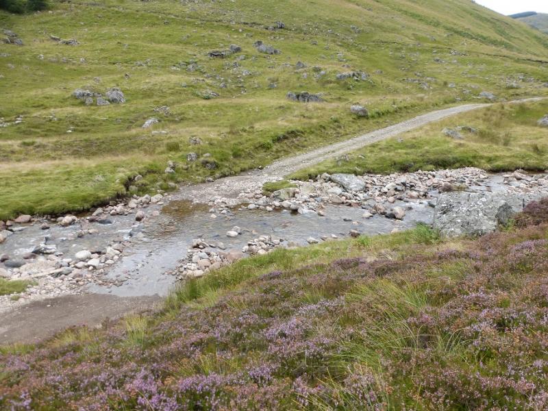
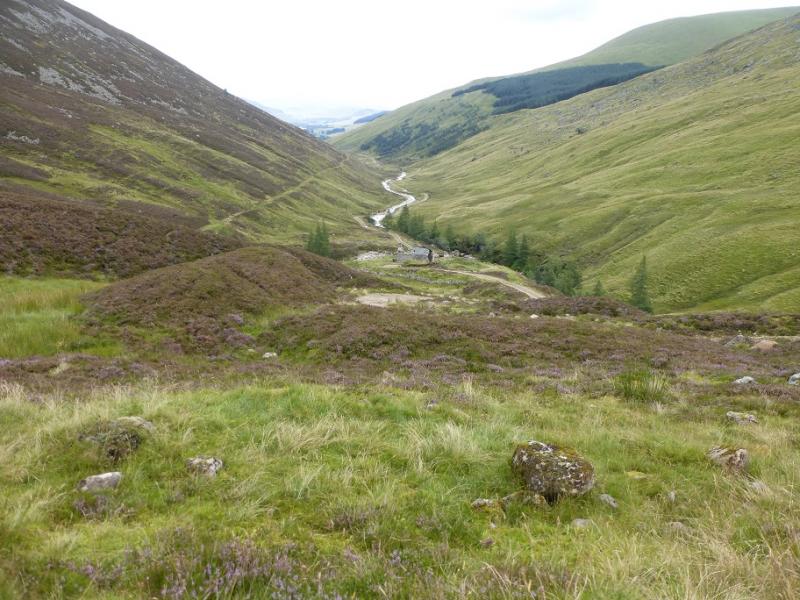
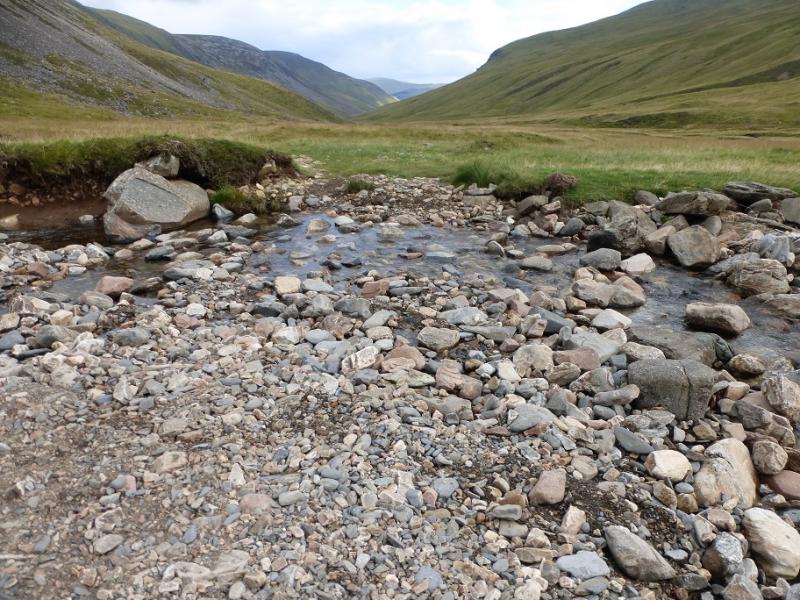
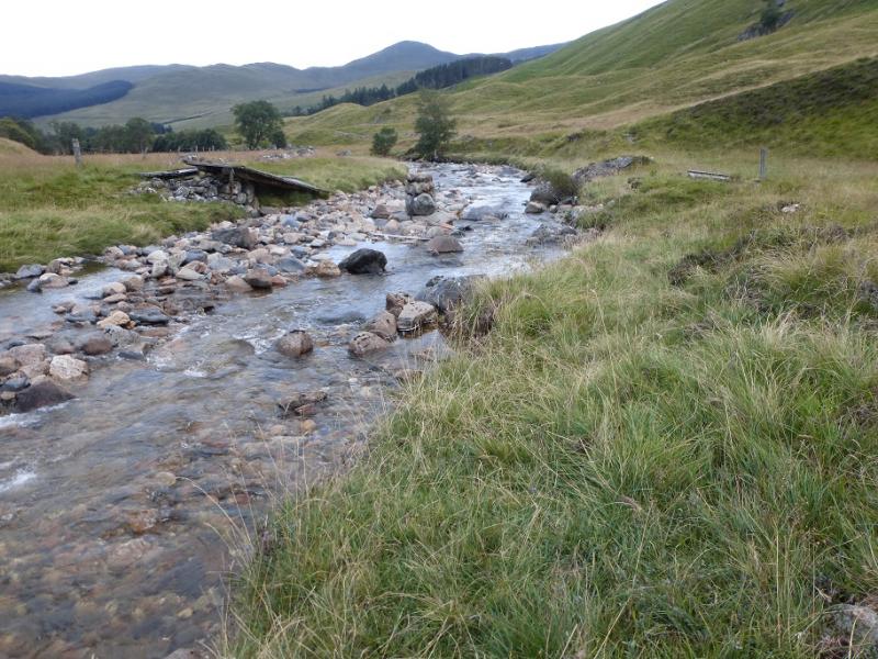
Dalmunzie Hotel which is about 1.6 miles up the minor road going north west from the Spittal of Glenshee on the A93 between Perth and Braemar. The minor road to the Dalmunzie Hotel is private and not that obvious but it is just to the west of the old bridge over the loop road in the Spittal of Glenshee. On 28/8/16, it cost £2.50 to park at the Dalmunzie Hotel. This route relies on crossing the river in Gleann Taitneach about 1 km north of Dalmunzie on the return route. The bridge there has been destroyed by recent storms but the river is relatively easy to cross, where the bridge once stood, in a dry spell in summer. At other times, the river may be difficult, if not dangerous, to cross. If this is the case, there is no point in parking at Dalmunzie and one may as well start at the Spittal of Glenshee as the route will return to there in the absence of a bridge.
Distance/Time
23 km. About 8 hours.
Peaks
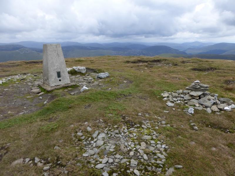
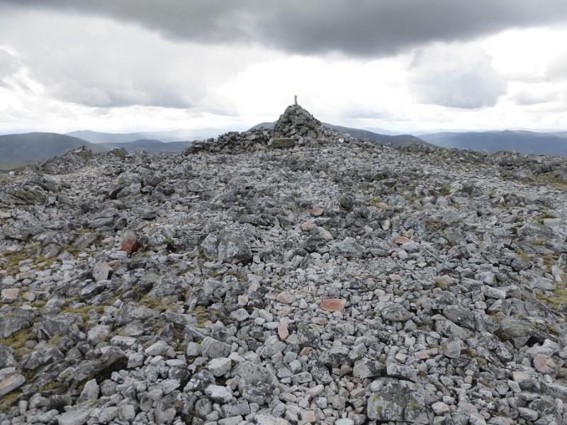
Glas Tulaichean, 1051 m, NO 051 760.
Carn an Righ, 1029 m, NO 028 772. OS sheet 43.
Introduction
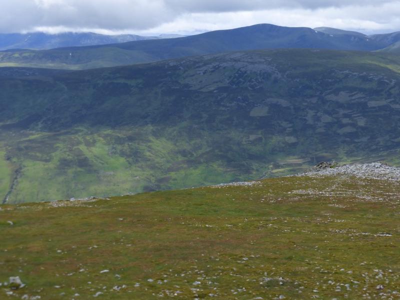
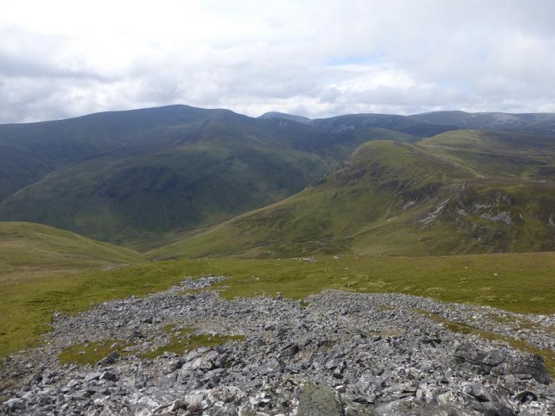
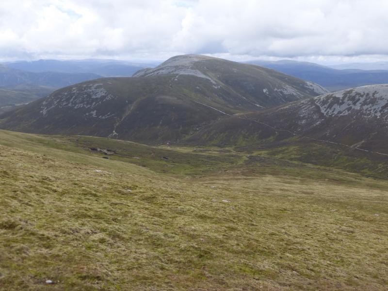
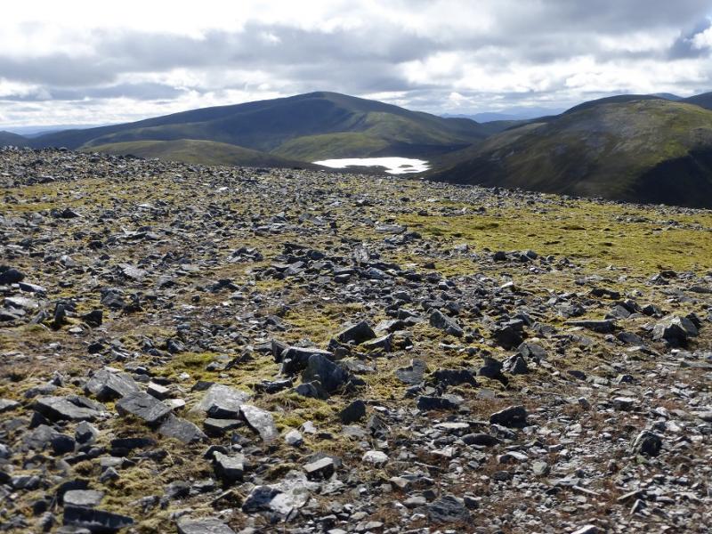
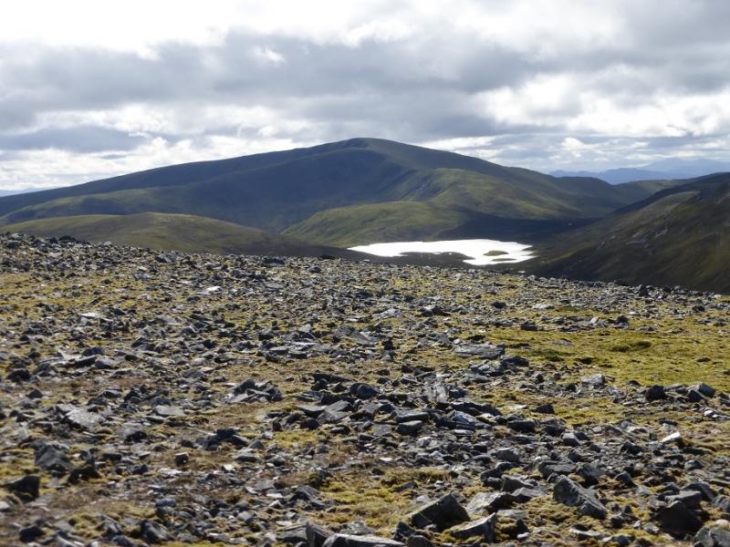
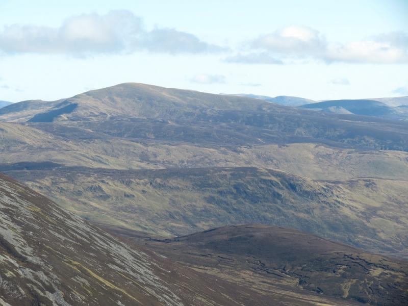
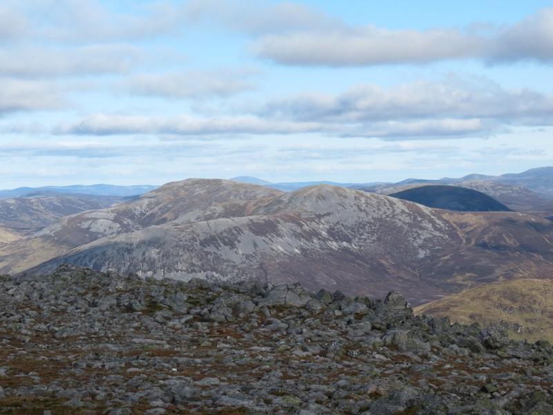
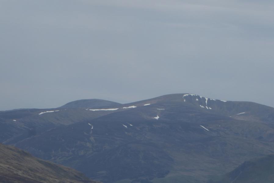
This is an interesting but strenuous walk which goes into some remote country. There are paths/tracks most of the way including a track almost to the summit of Glas Tulaichean. The route starts up Glen Lochsie and follows the old track bed of a narrow gauge railway. There are excellent views to Carn nan Gabhar (Beinn a' Ghlo), Ben Vuirich, Beinn Iutharn Mhor, Carn Bhinnein and Carn a' Gheoidh.
Route
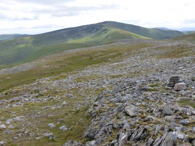
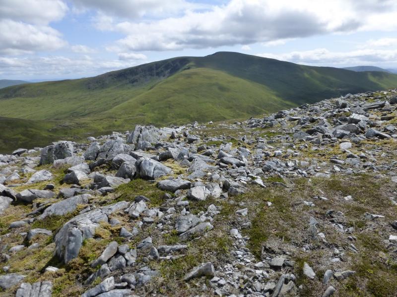
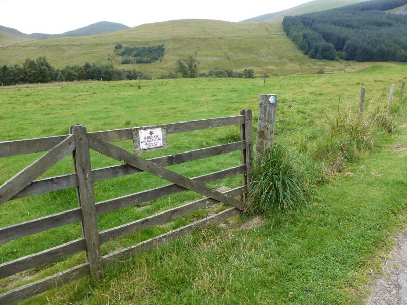
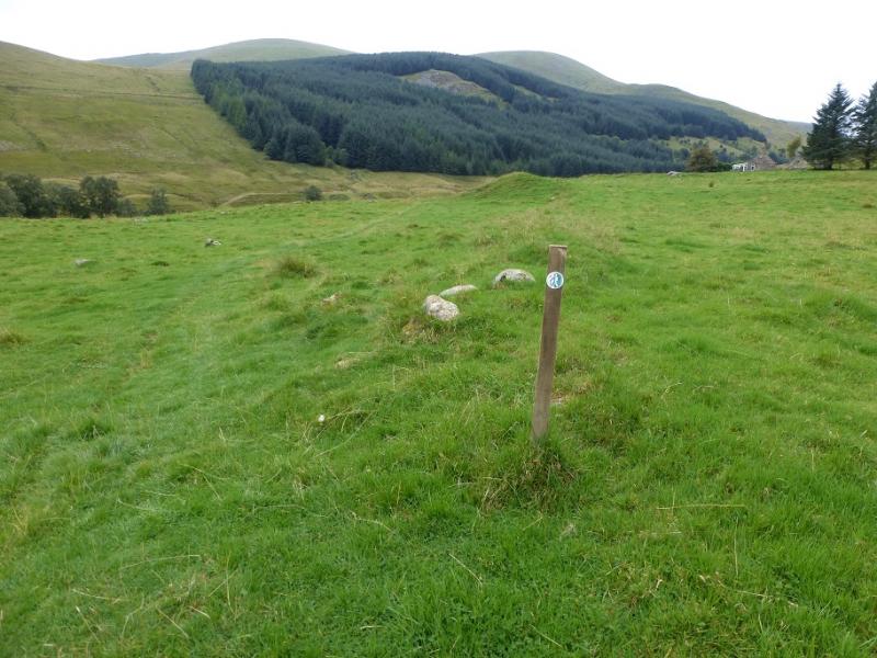
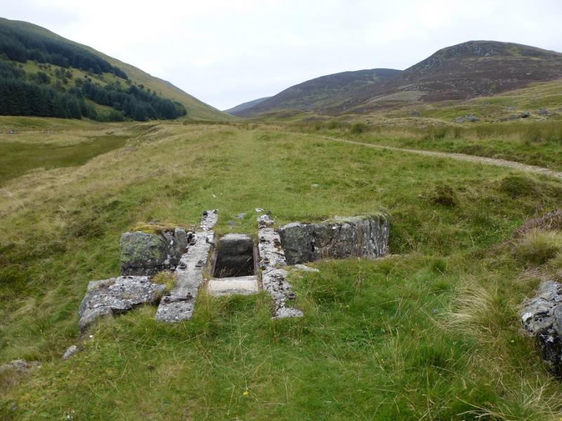
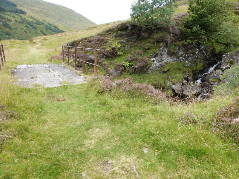
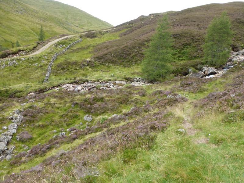
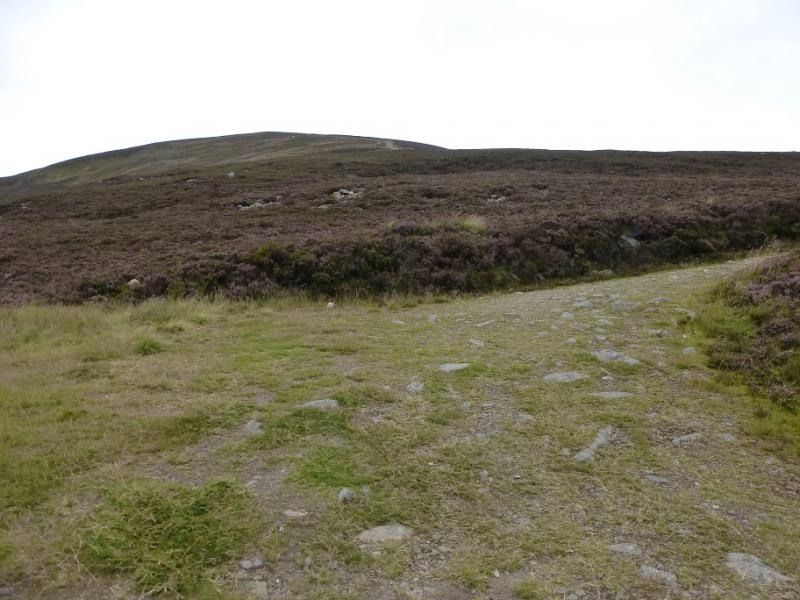
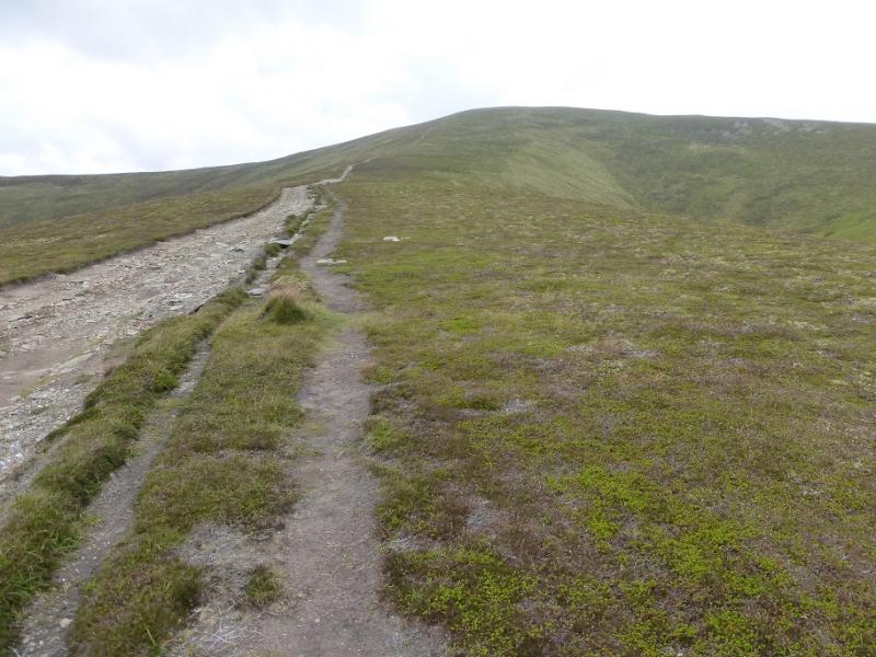
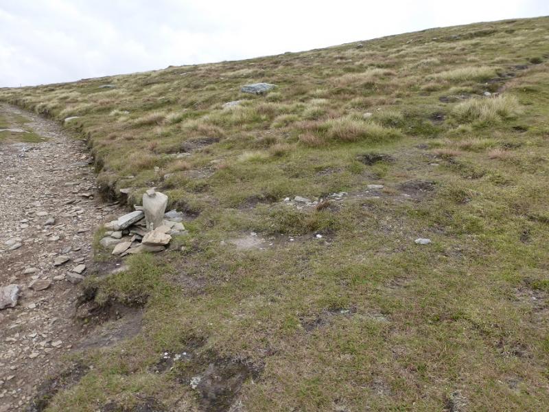
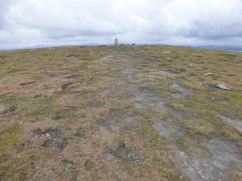
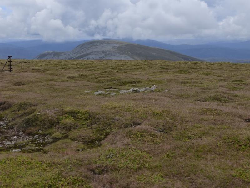
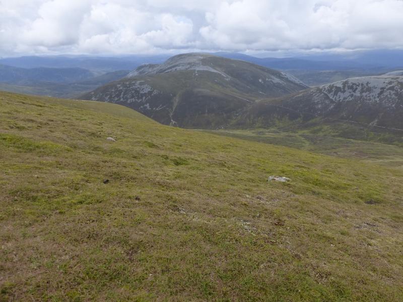
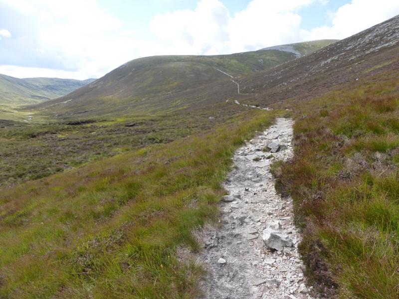
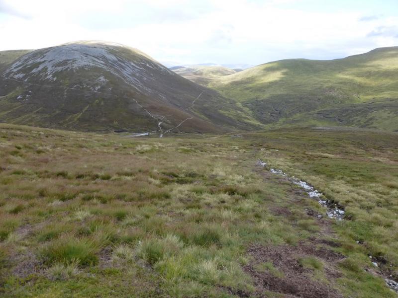
(1) Continue up the private road from Dalmunzie to soon reach a gate on the left which is signed for Glenlochsie railway. Follow the path marked by posts which reaches a track. Look carefully, as it isn't obvious, for a path which is the remains of the railway. Follow this but note that if zig zags backwards up to the right before continuing up Glen Lochsie. Don't cross the river where the track fords it. Once on the railway up the river bank, the continuation is obvious and it leads to the ruin of Glenlochsie Lodge. Cross the burn behind the lodge and gain the obvious track going up the ridge known as Breac-reidh. Follow the track up, with a few steep and rough sections, to where it cruves around to the right for the final climb towards the summit which is off to the right from the highest point of the track. A path leads off the track, from a small cairn, and soon reaches the plateau where a trig point marks the summit of Glas Tulaichean, 1051 m.
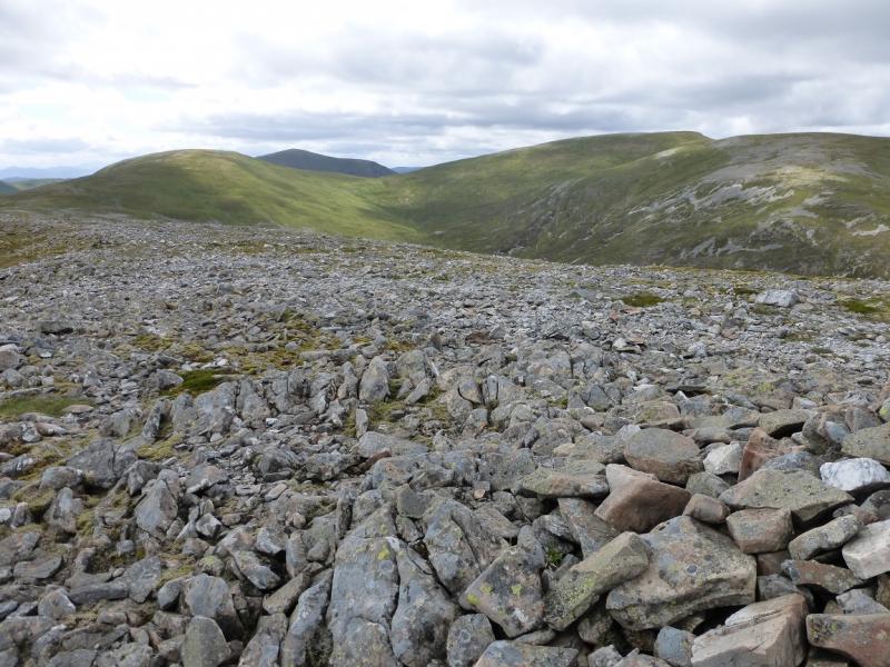
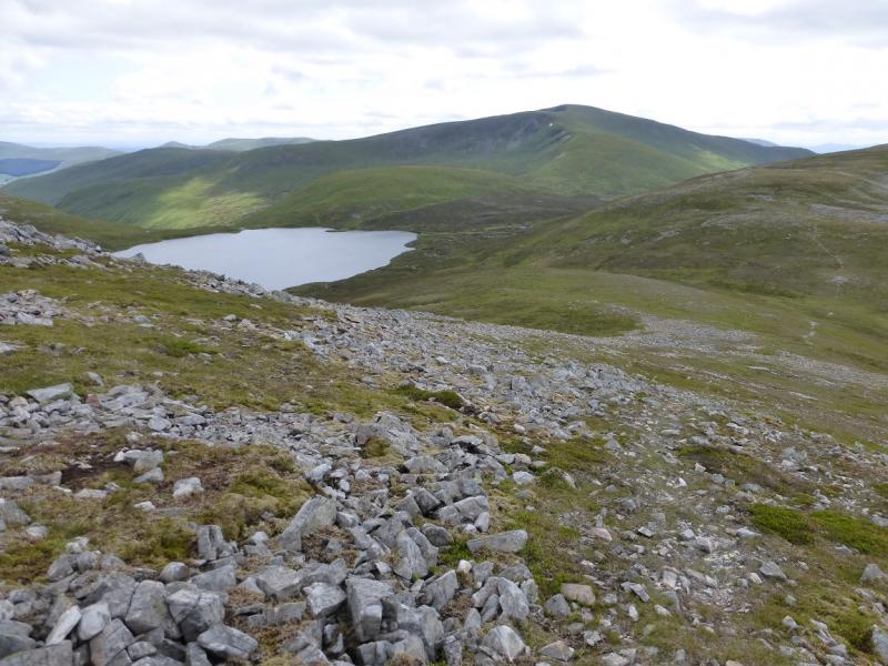
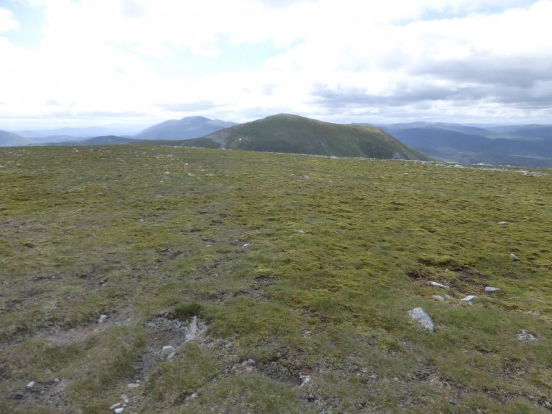
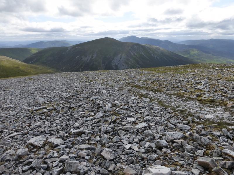
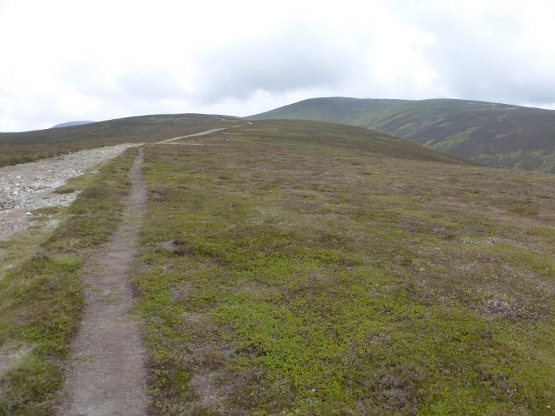
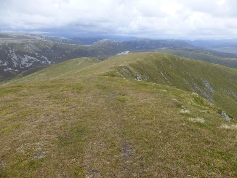
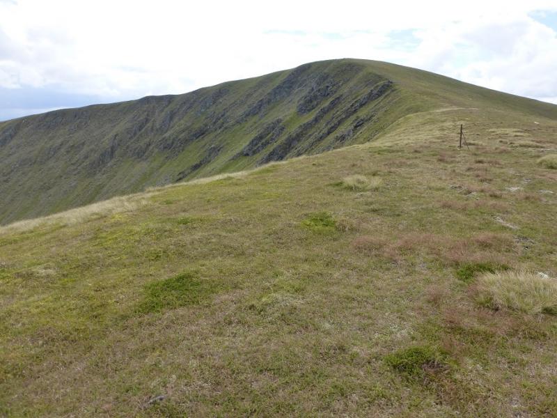
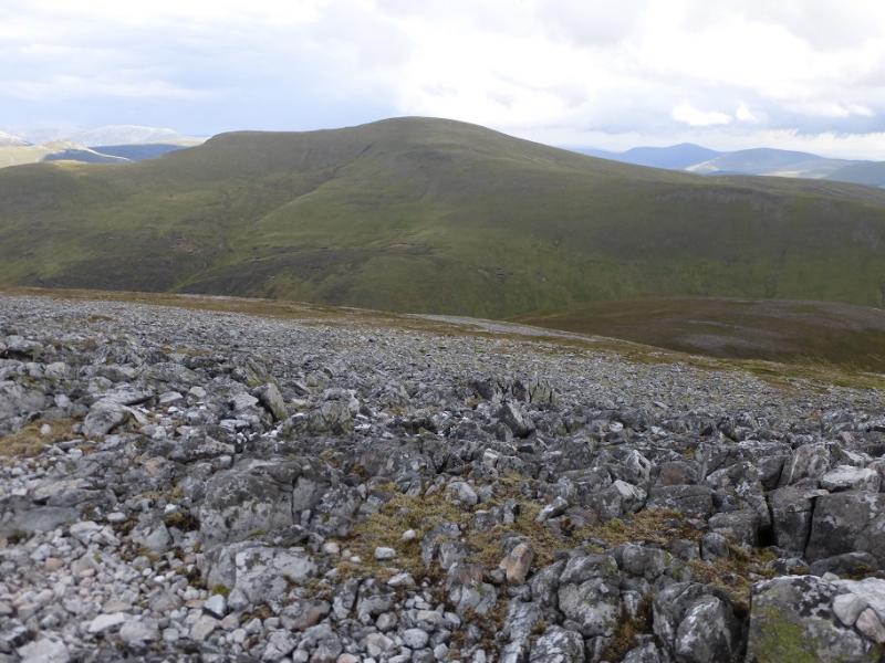
(2) Descend down the N ridge where there is a path and some old metal fence posts. The ridge gradually turns NE lower down. At the only col, leave the crest and head NW across some wet ground to reach the stalker's path below Mam nan Carn. Follow the rough path W to the col between Mam nan Carn and Carn an Righ then ascend the obvious wide stony path up the E flank of Carn an Righ before gradually curving right and passing through some stony patches before reaching the large cairn which is the summit of Carn an Righ, 1029 m.
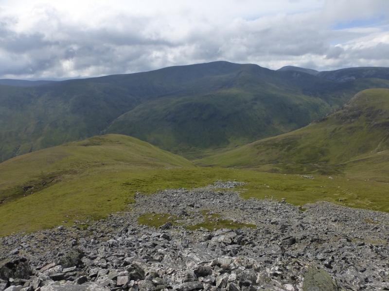
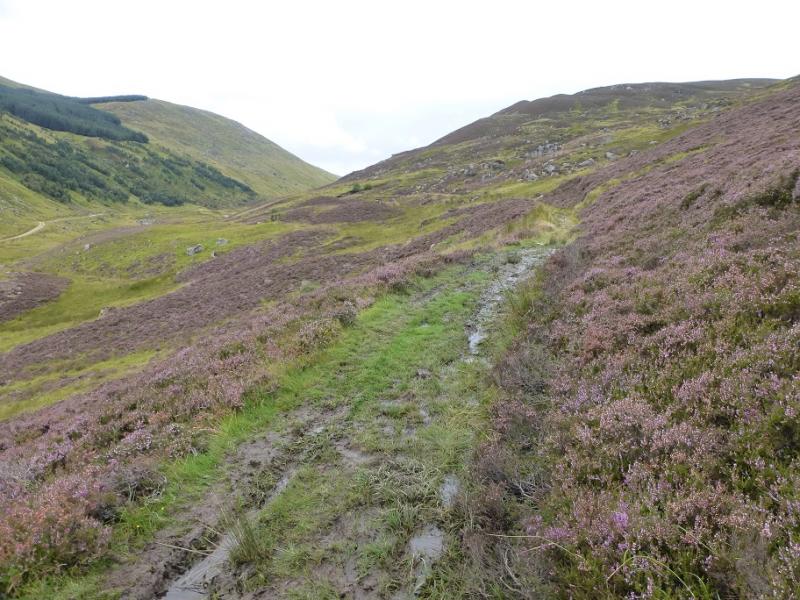
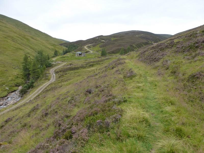
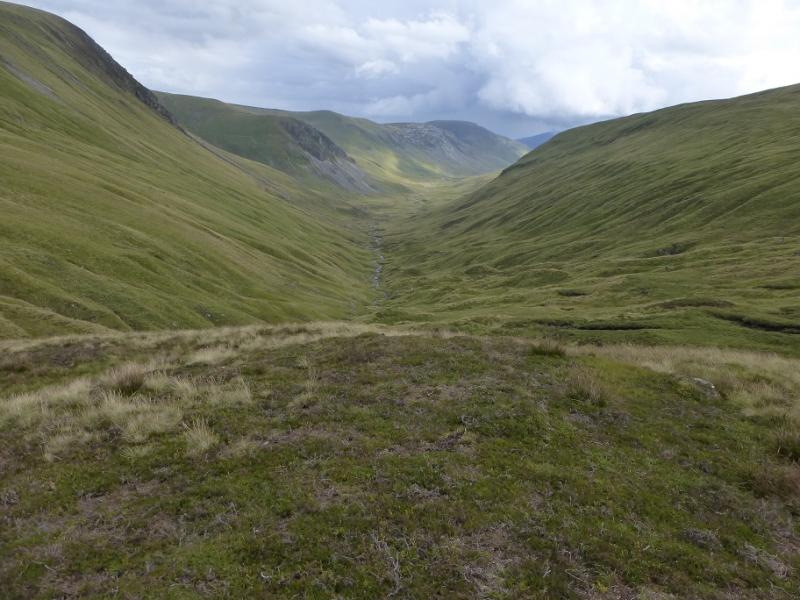
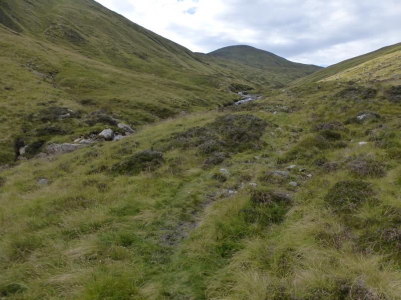
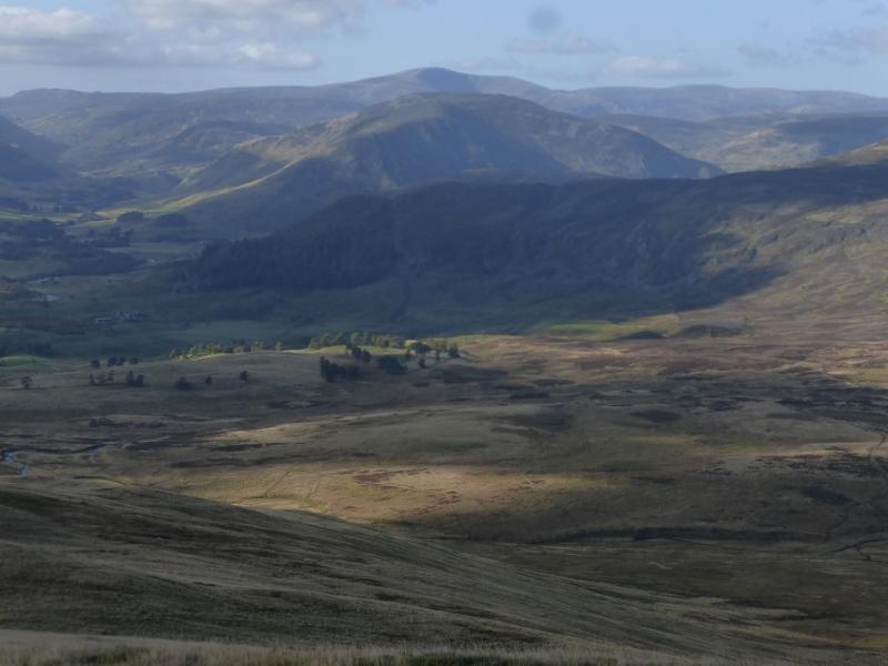
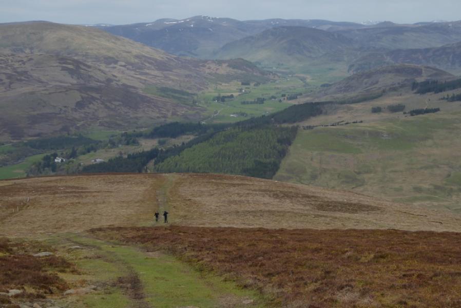
(3) Retrace down to and along the stalker's path below Mam nan Carn and return to the col on the N ridge of Glas Tulaichean. There is a path on the NE side of the col which traverses below the top to the N of the col before finally petering out. Drop down easy grassy slopes to pick up the path heading SSE down towards Gleann Taitneach. Initially, the path is steep and rough but soon improves. Further down, the path becomes a track and can be followed all the way down Gleann Taitneach to the Spittal of Glenshee. Just before the track reaches some trees, look for the remains of the bridge (if it hasn't been rebuilt by the time you read this!) and cross the river if safe to do so. A path on the opposite bank leads back to the road just to the N of Dalmunzie.
Notes
(a) This walk took place on 28th August,2016, and about 10 and 20 years earlier.
(b) Starting and finishing at the Spittal of Glenshee adds about 5 km and one hour to the route.
Photos - Hover over photo for caption. Click on to enlarge. Click on again to reduce.