Get Lost Mountaineering
You are here: Scotland » 07 Glen Shee, Cairn O'Mount and Glen Clova to Glen Esk » Glas Maol Hills to Blairgowrie
Carn an Tuirc, Carn of Claise, Tolmount & Tom Buidhe from A93 on N side of the Cairnwell pass.
Carn an Tuirc, Carn of Claise, Tolmount & Tom Buidhe
from A93 on N side of the Cairnwell pass.
Start/Finish
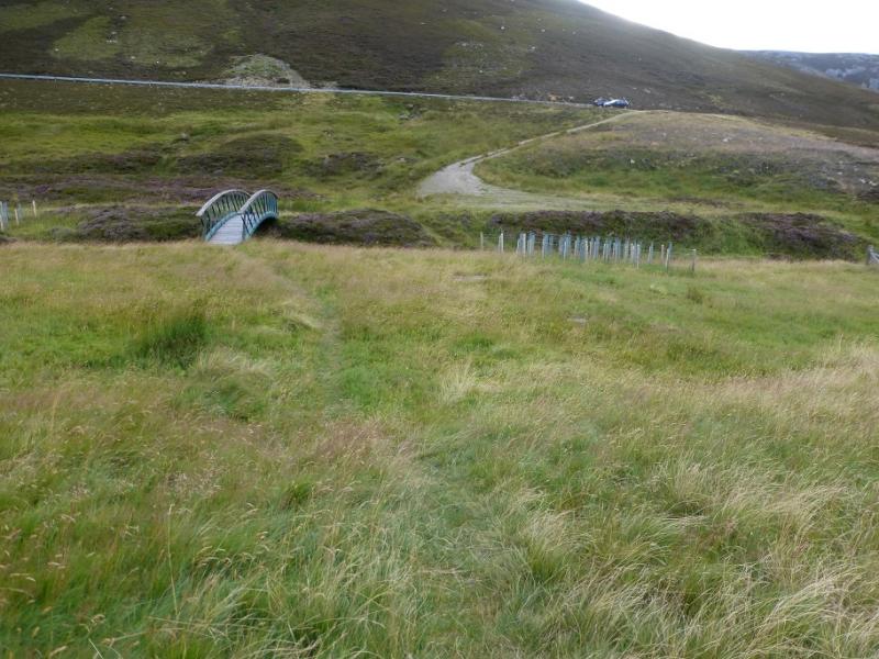
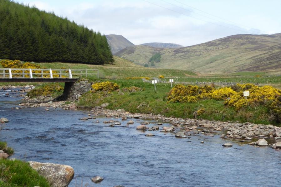
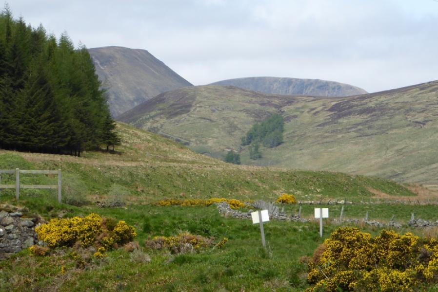
Rough, off road, car park about 1.2 miles down the north side of the A93 from the top of the Glen Shee Pass (Ski area) and is about 8 miles south of Braemar on the A93. Despite the horrendous appearance of the top of the pass, the cafe is quite good and there are toilets. In winter, access towards the top of the pass may be blocked by snow although much effort is made to keep the road open for ski slopes. Carn an Tuirc is clearly visible from the car park.
Distance/Time
29 km. About 7 – 8 hours.
Peaks
Carn an Tuirc, 1019 m, NO 174 804.
Cairn of Claise, 1064 m, NO 185 788.
Tolmount, 958 m, NO 210 800.
Crow Craigies, 920 m, NO 221 798.
Tom Buidhe, 957 m, NO 213 787.
Druim Mor, 961 m, NO 190 771. OS sheets 43 & 44 (both needed).
Introduction
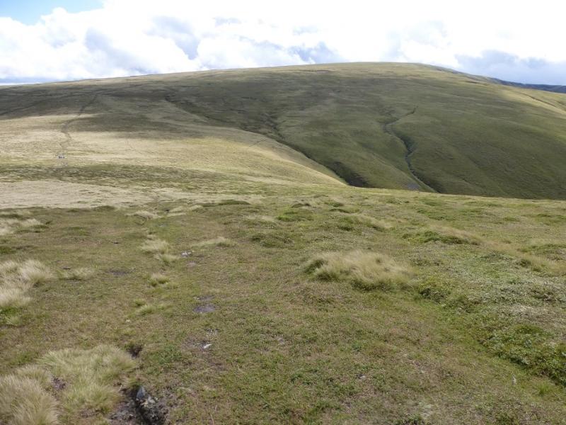
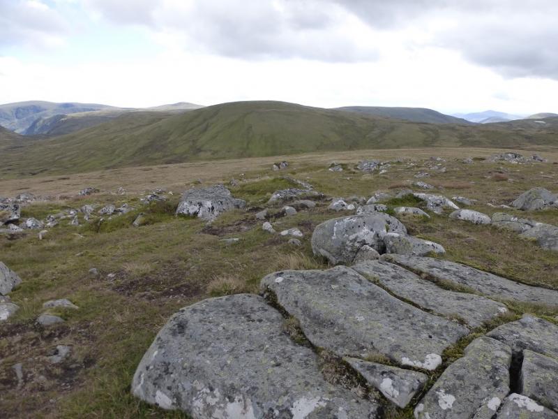
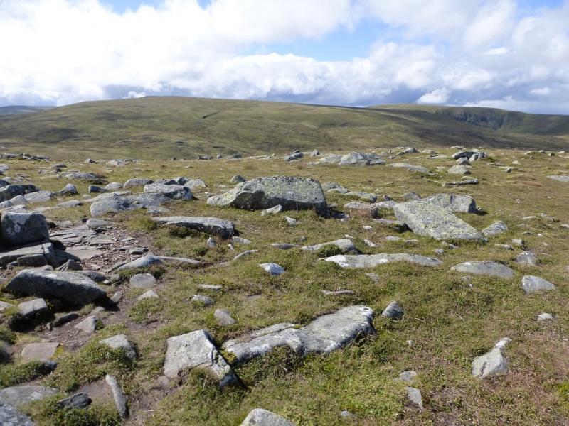
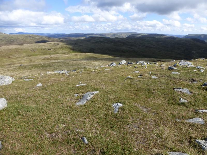
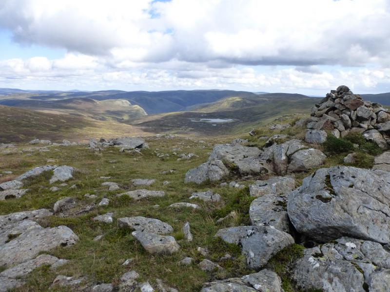
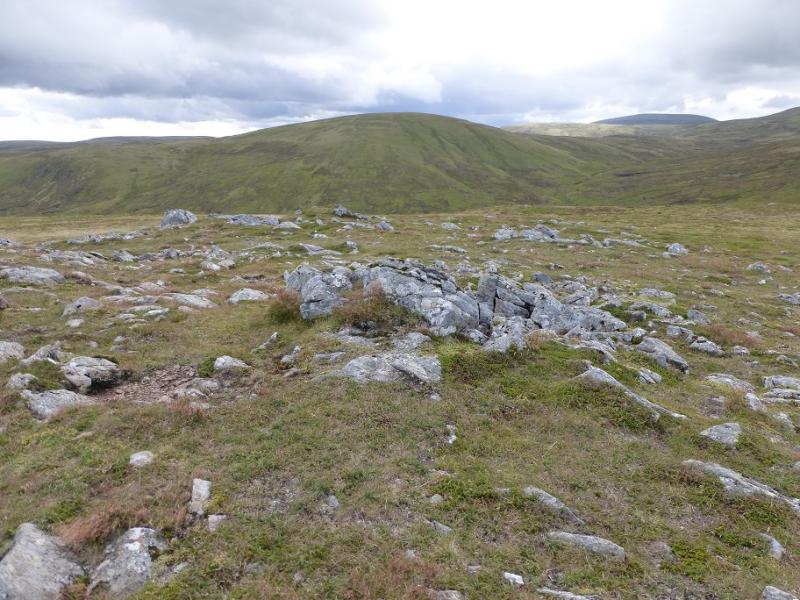
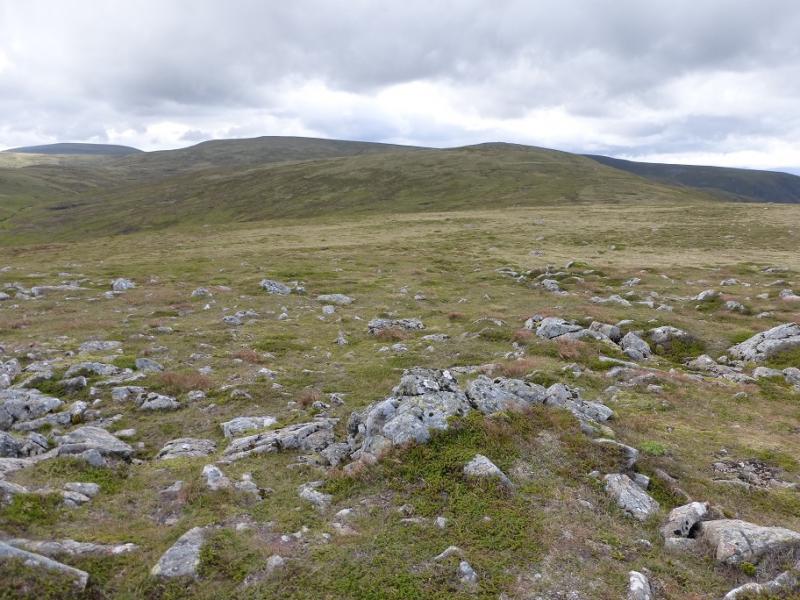
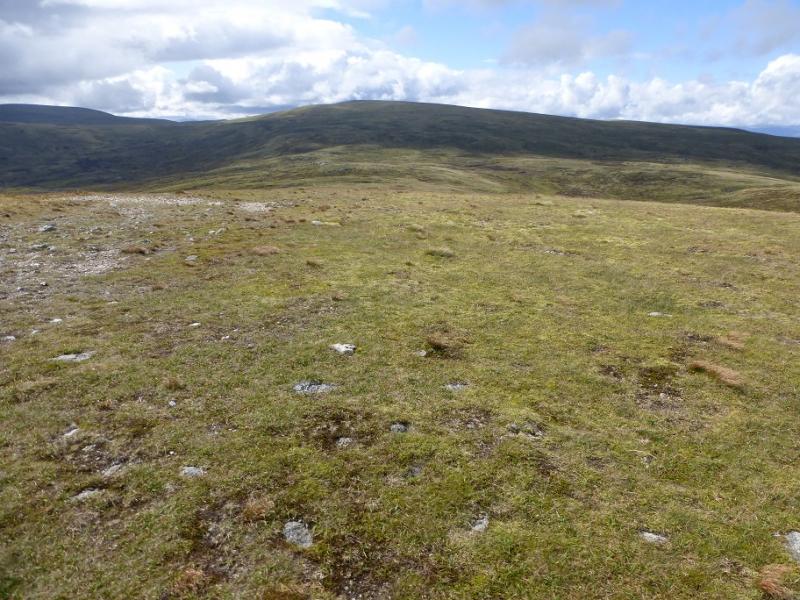
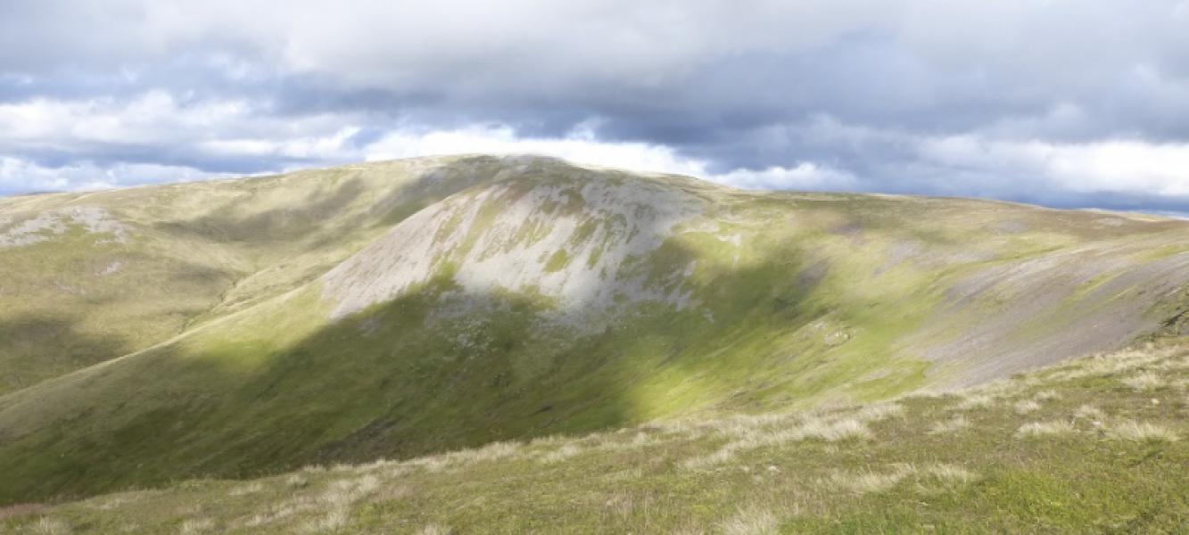
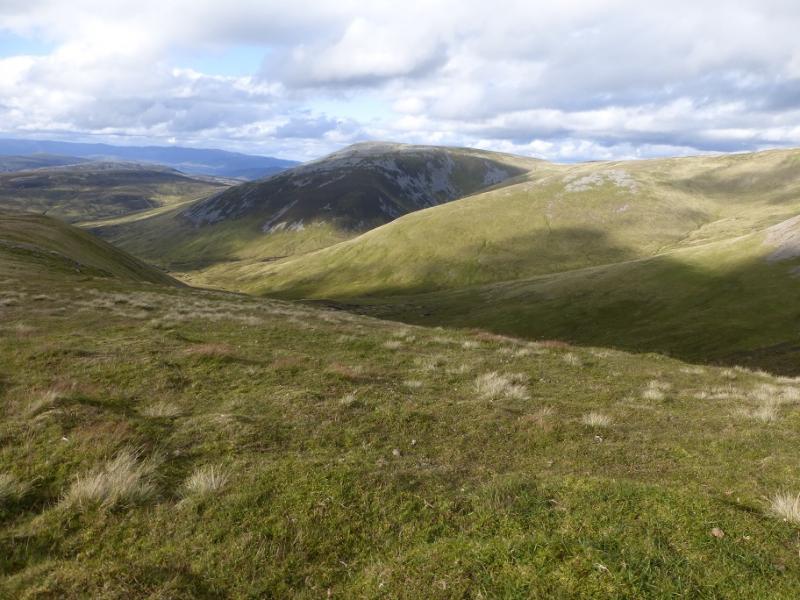
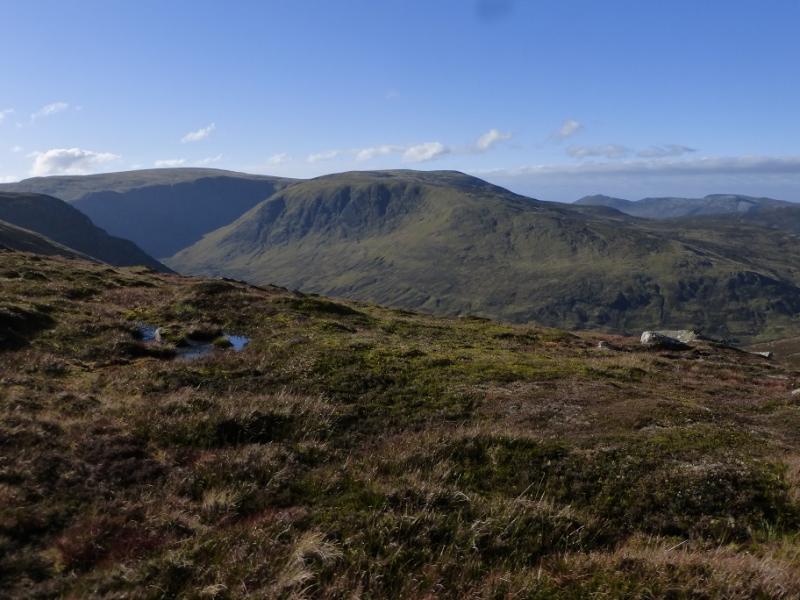
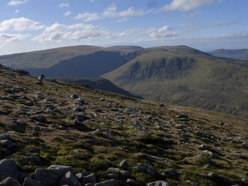
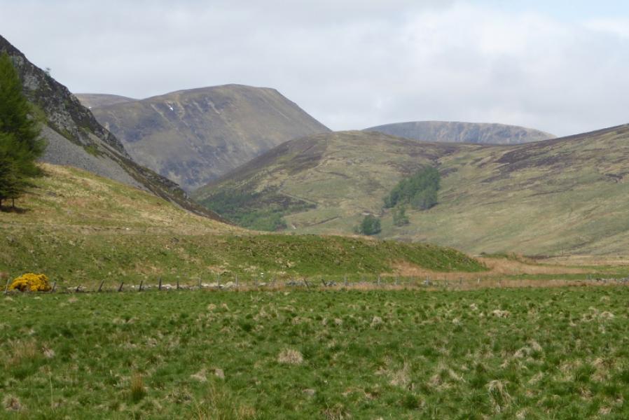
In clear summer conditions, this is a relatively straight forward walk although it awkwardly falls on the eastern edge for sheet 43 and the western edge of sheet 44. This is most felt when heading for Tolmount from Carn of Claise. The final descent off the Sron na Gaoithe ridge is on steep rough grass and not usually appreciated at the end of the day. Views are excellent especially looking east to the Broad Cairn range or south to Driesh and Mayar. From Druim Mor, the cliffs of Glas Maol are well seen. The ground can be boggy in places. The only significant streams to be crossed are near to the start and both have bridges.
Route
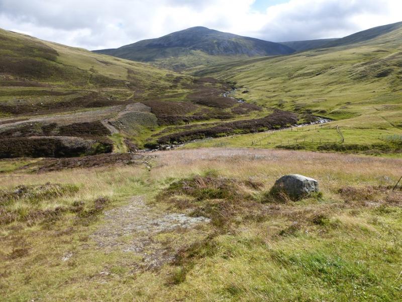
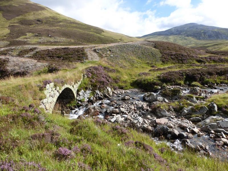
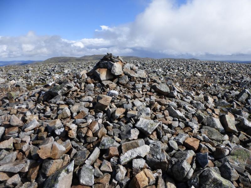
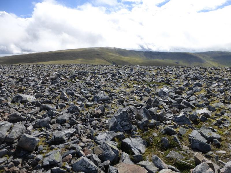
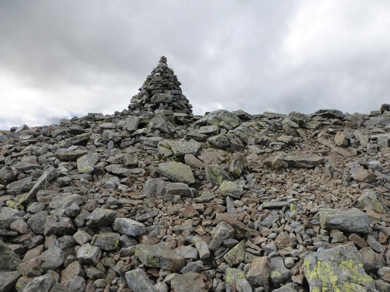
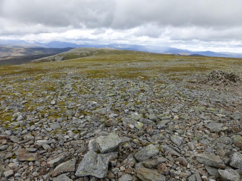
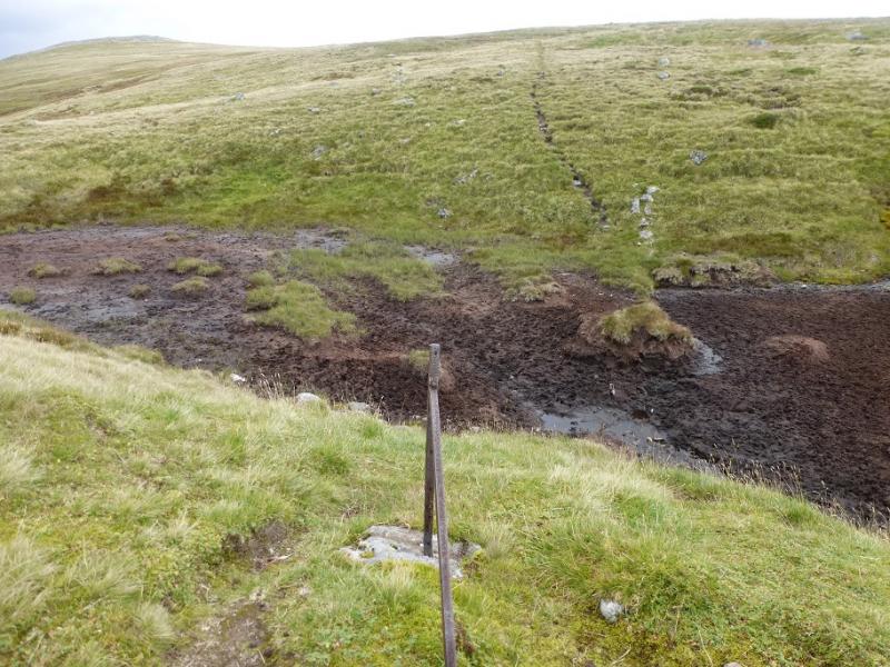
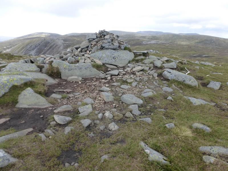
(1) From the car park, walk towards the footbridge but do not cross it. Instead follow the track a little way downstream and cross the old arched bridge. Follow a path or track up the N side of the stream, crossing a significant tributary after about 2 km which may need a detour upstream after ran. Continue following the main stream until a rough path starts to head up towards Carn an Tuirc. Higher up, there are boulder fields ahead so go around to the N side where there is more grass before picking a way S up stony ground to reach the large cairn which is the summit of Carn an Tuirc, 1019 m.
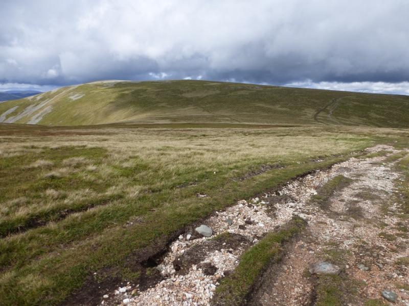
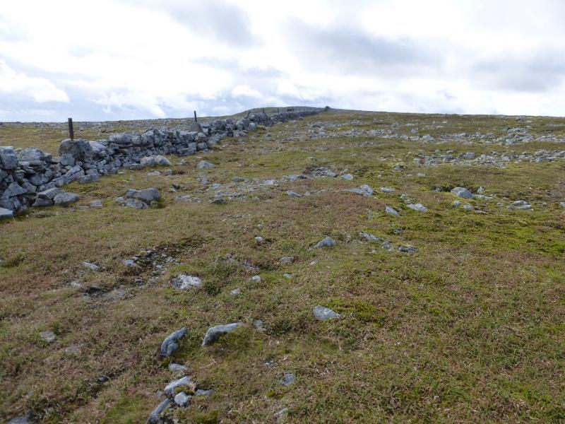
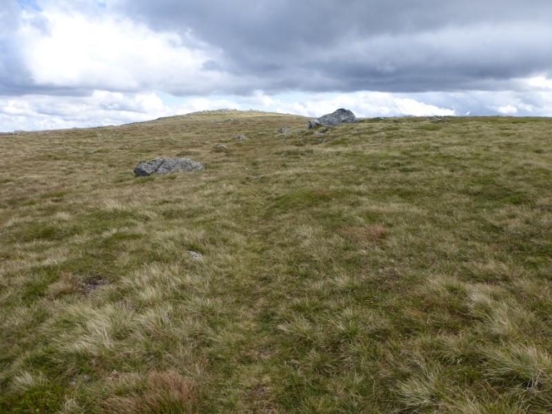
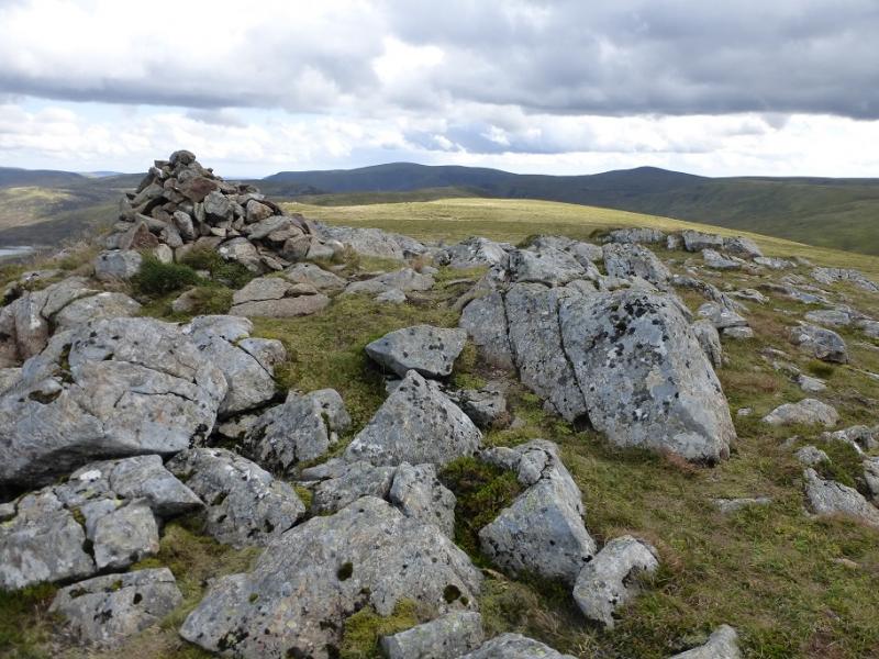
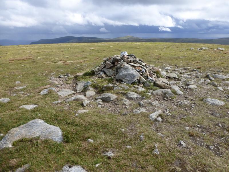
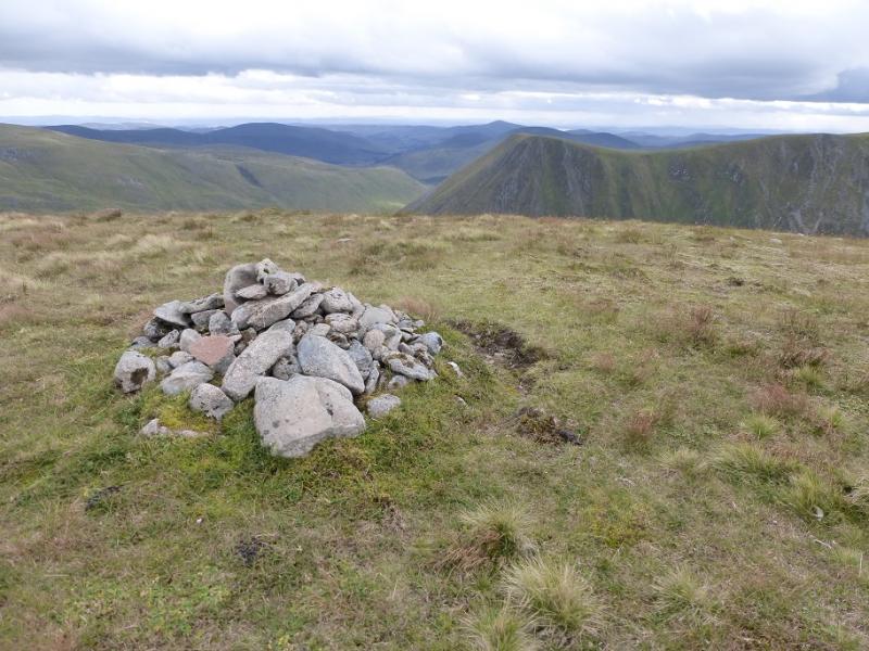
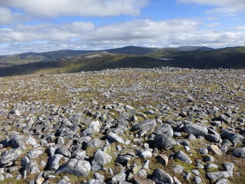
(2) There is a similar size cairn across the summit plateau to the E so head towards this but turn S when a wide grassy strip is reached with a path on it. Soon after, a path goes left and reaches the col before Carn of Claise. The path/track up is obvious so follow it up easy slopes and past the end of a wall below the summit. A little further, a faint path takes one up a very short stony bank to reach the large cairn which is the summit of Cairn of Claise, 1064 m.
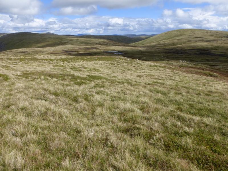
(3) In clear weather, Tolmount is visible but does not stand out well owing to higher peaks behind but Tom Buidhe is better seen. Descend ENE from the summit, on fairly featureless ground, nd eventually reach a path which leads down to the boggy area below Tolmount. Once the ascent starts, a good path leads quickly to the medium cairn which marks the summit of Tolmount, 958 m.
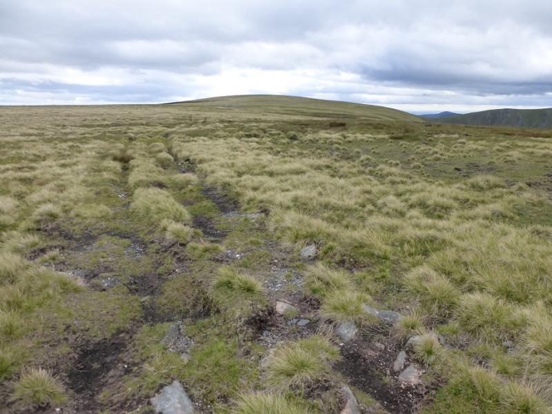
(4) A faint path continues down the other side, heading for the NNW ridge of Crow Craigies with, again, the lowest point being quite boggy but once on the crest a path – the famous Jock's Road – leads up to the medium cairn which is the summit of Crow Craigies, 920 m.
(5) Descend SW, trying to lose as little height as possible, then pick a way up the steepish grassy slopes of Tom Buidhe (it may be easier to go a little way up the stream between Tom Buidhe and Tolmount) to reach a medium cairn which is the summit of Tom Buidhe, 957 m.
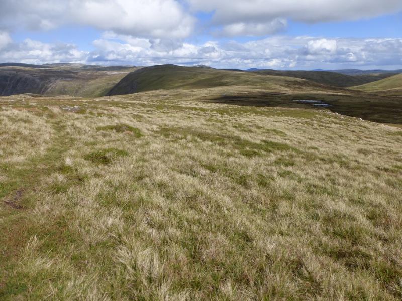
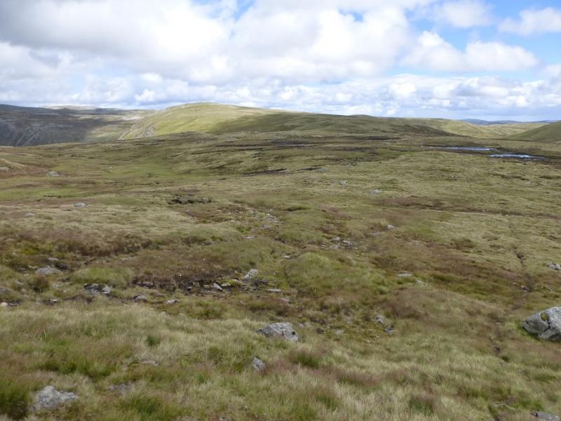
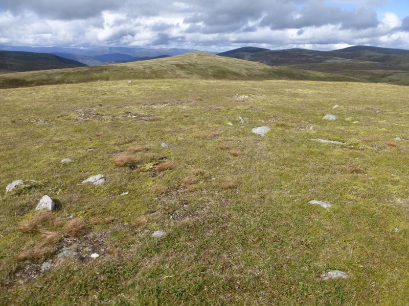
(6) Walk off the W ridge of Tom Buidhe on a fairly obvious path and follow this down then up as if going back to Carn of Claise. The path is like a track in a few places and it is better to gain a little extra height than strike out across rough ground. However, as soon as it looks possible to traverse off to the left, do so and aim for the very broad, shallow and grassy col between Druim Mor and Carn of Claise where a rough track heads towards Druim Mor. Follow this until it drifts left then continue ahead to reach a large falt plateau where there is a small cairn which marks the summit of Druim Mor, 961 m.
(7) Retrace back across the shallow col following the track until above the streams which are off to the left then head more NW then W to pick up the track and follow it SW towards Glas Maol. It will sem like you are climbing it but just by a small knoll a faint path goes off right and soon joins the Sron na Gaoithe ridge. If you miss this, another path goes down this ridge a bit further on. Follow the ridge down but leave it just before it rises to a rocky top. A faint path traverses this top on the rightthen starts the descent on steep grass down towards the start. In places, the path is faint and the grass overgrown so take it steadily. At the bottom, a footbridge leads to the short ascent back to the car park.
Notes
(a) This walk took place on 26th August, 2016, and about 10 and 30 years earlier by different routes.
(b) Omitting Crow Craigies and Druim Mor would save about an hour for each.
Photos - Hover over photo for caption. Click on to enlarge. Click on again to reduce.