Get Lost Mountaineering
You are here: Scotland » 07 Glen Shee, Cairn O'Mount and Glen Clova to Glen Esk » Lochnagar Range
Lochnagar Full Traverse from Glenmuick Car park
Lochnagar Full Traverse from Glenmuick Car park
Start/Finish
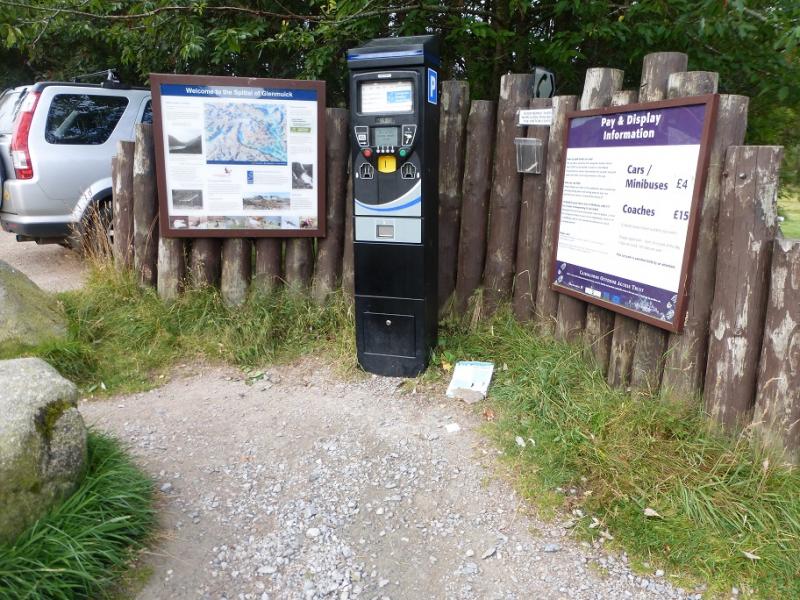
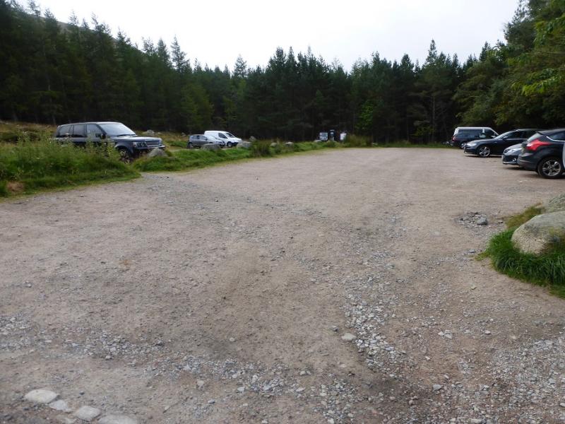
Glenmuick car park. From the centre of Ballater, drive towards Aboyne but leave the main road, on a left hand bend, just before leaving the village and cross the River Dee. Turn right and follow the road for about a mile to the Bridge of Muick. Do not cross the bridge but continue ahead, SE, on the east side of the River Muick, on a more minor road which ends, after about 8 miles at the car park where there are toilets.
Distance/Time
21 km. About 8 - 9 hours.
Peaks
Meikle Pap, 980 m, NO 259 860.
Cuidhe Crom, 1083 m, NO 259 849.
Little Pap, 956 m, NO 265 844.
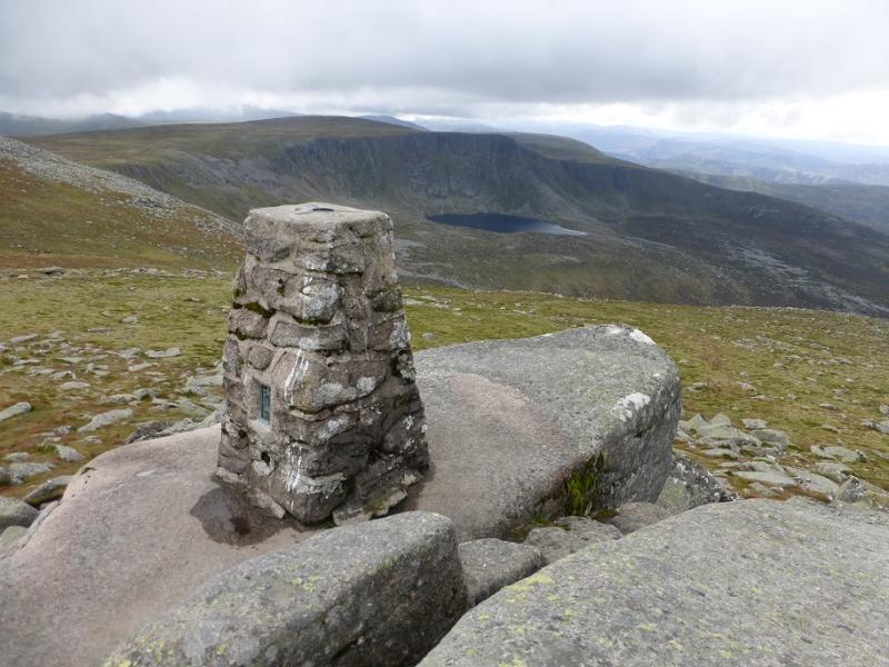
Lochnagar – Cac Carn Beag, 1155 m, NO 243 861.
Meall Coire na Saobhaidhe, 974 m, NO 242 872. OS sheet 44.
Introduction
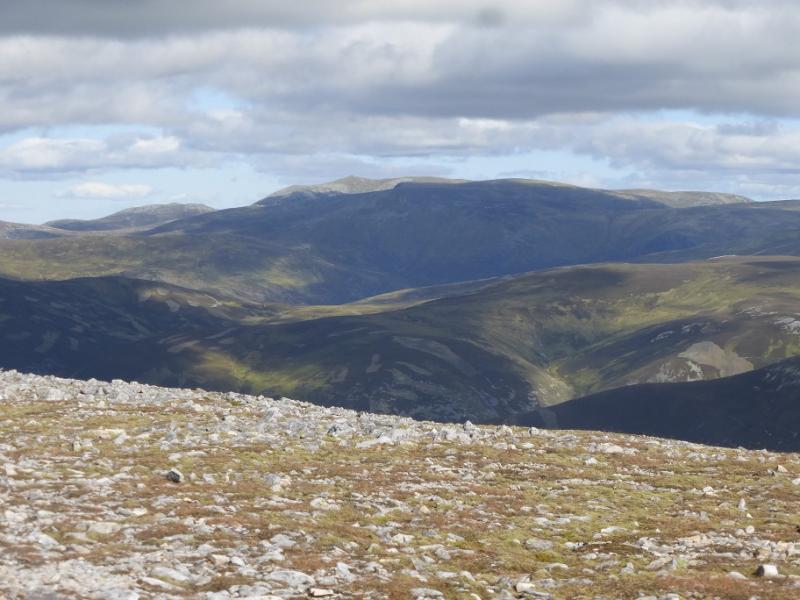
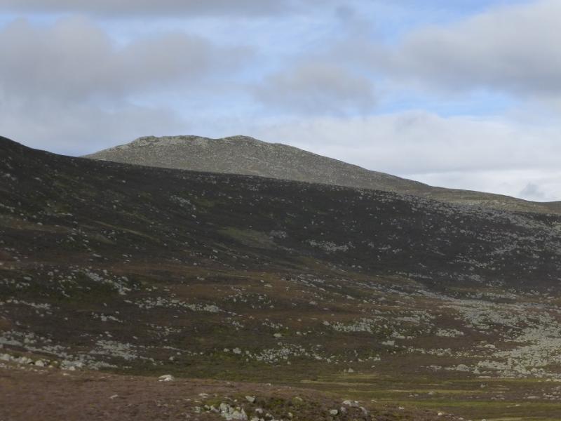
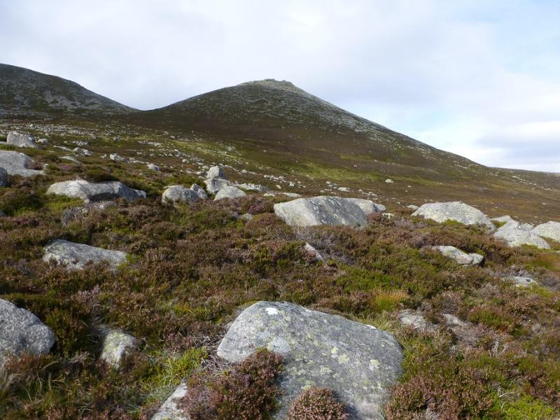
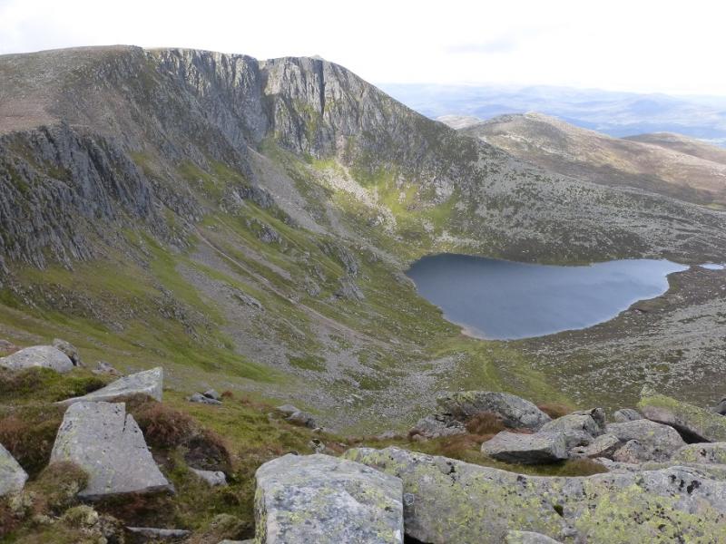
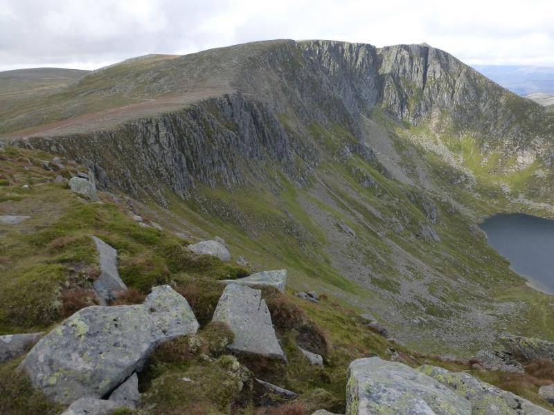
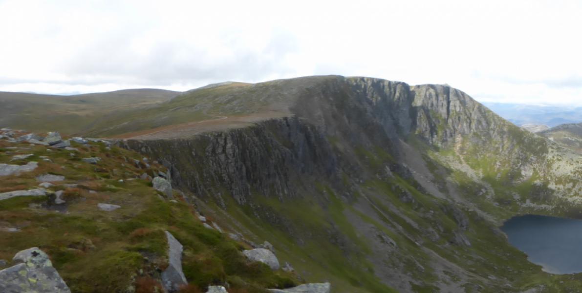
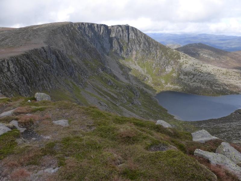
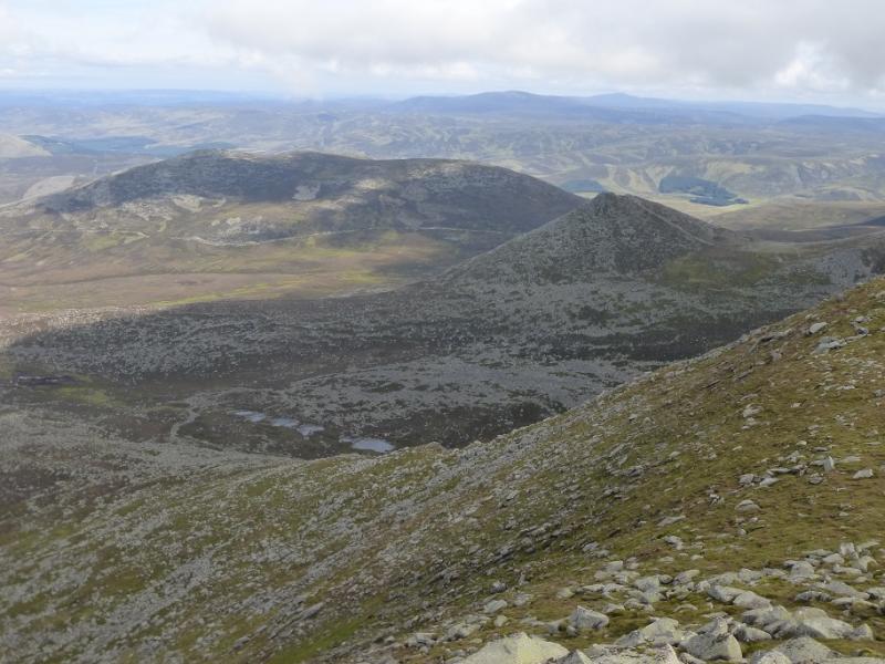
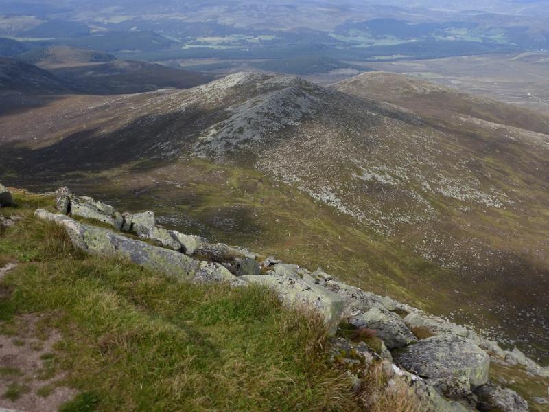
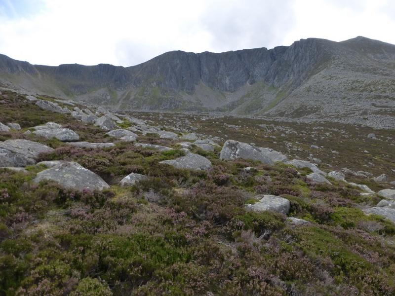
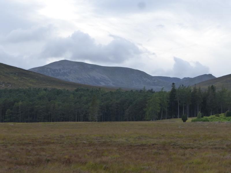
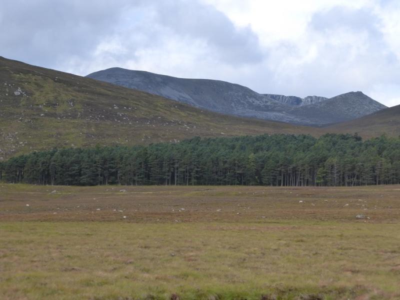
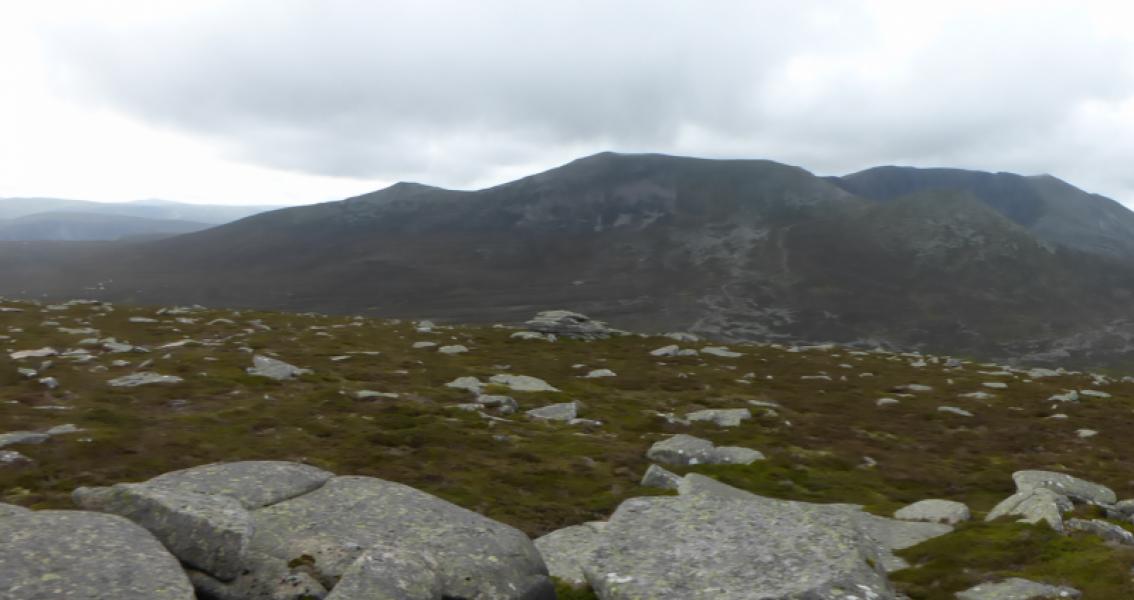
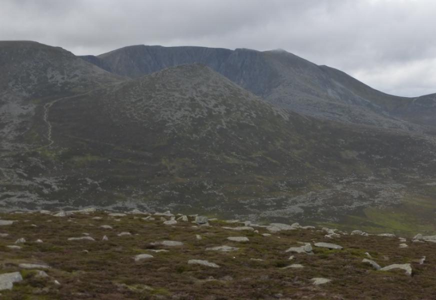
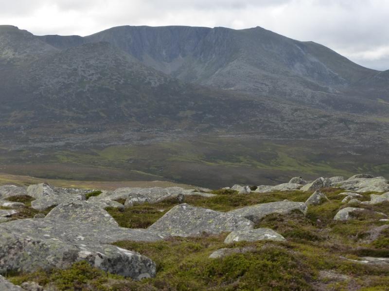
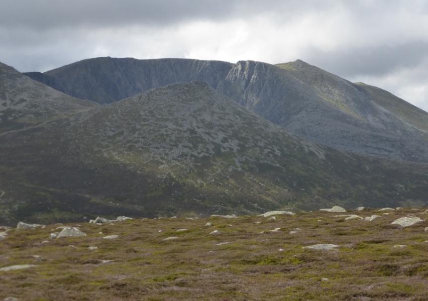
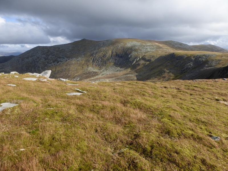
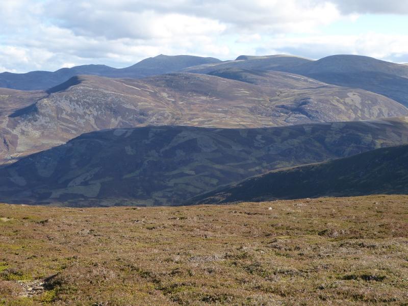
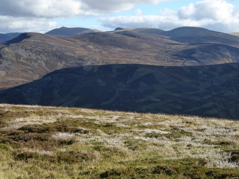
Lochnagar is one of the finest mountains in Scotland and is, obviously, a brilliant viewpoint. Its north facing cliffs are often seen as its major feature. There is a good path all the way to the summit but to visit its other tops involves a detour for each of them with a big re-ascent from Little Pap back to Cuidhe Crom. The return from Meall na Coire Saobhaidhe to the approach track is rough and pathless but still easier than retracing over Cac Carn Beag.
Route
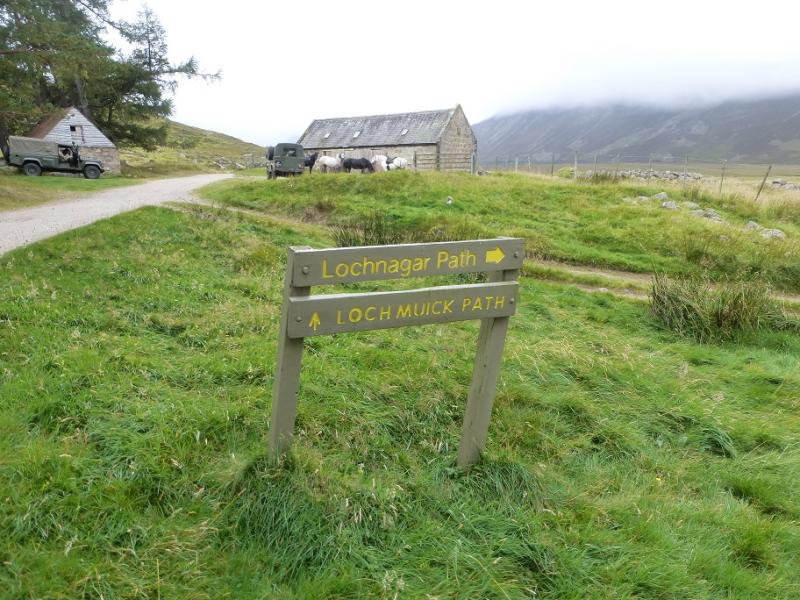
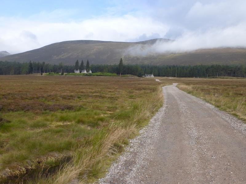
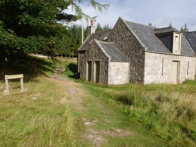
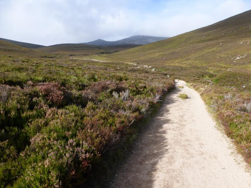
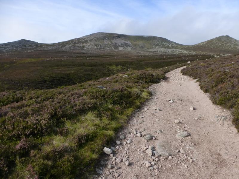
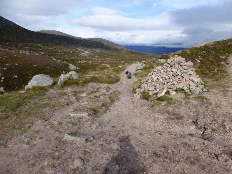
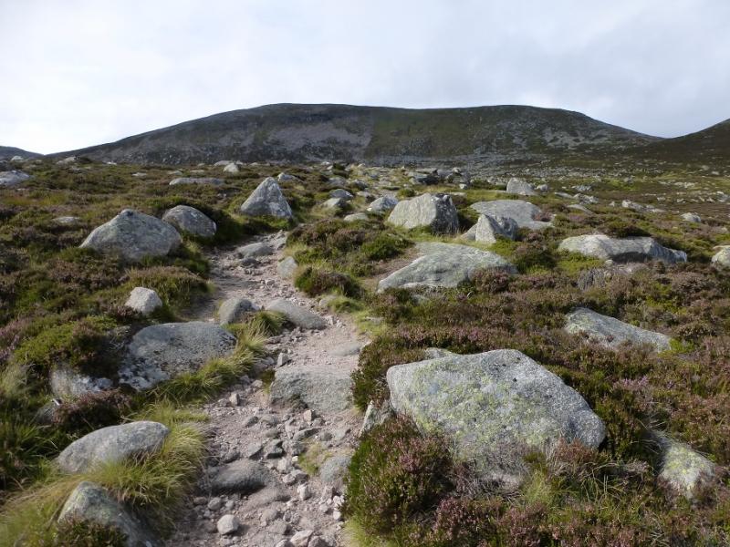
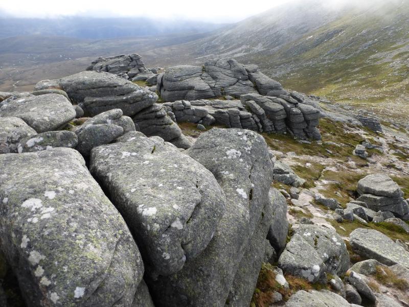
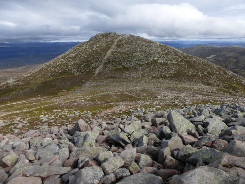
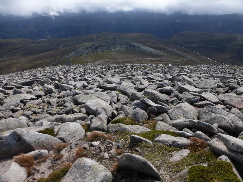
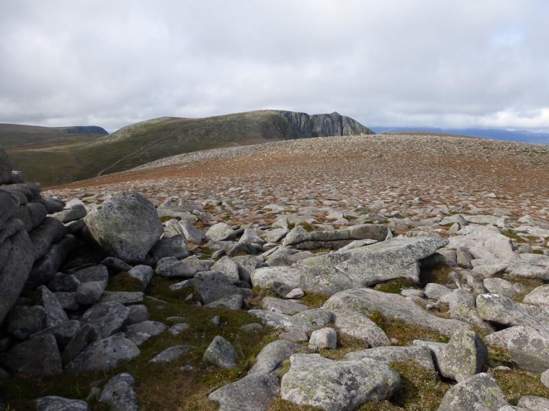
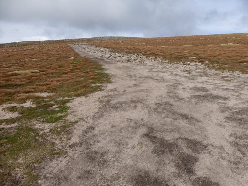
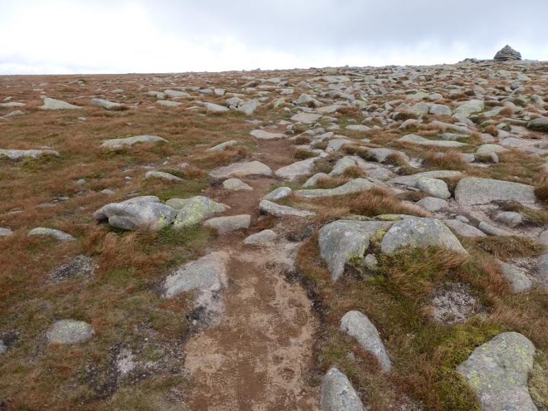
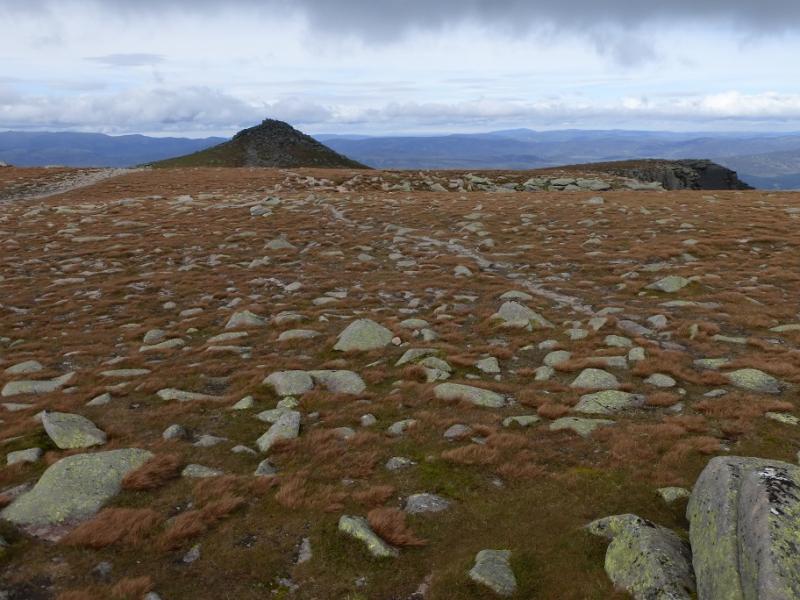
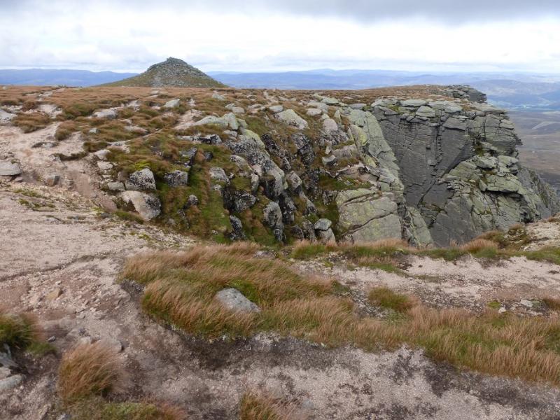
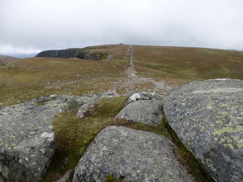
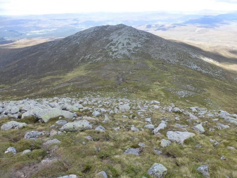
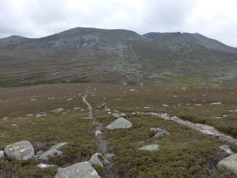
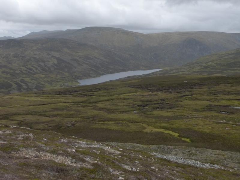
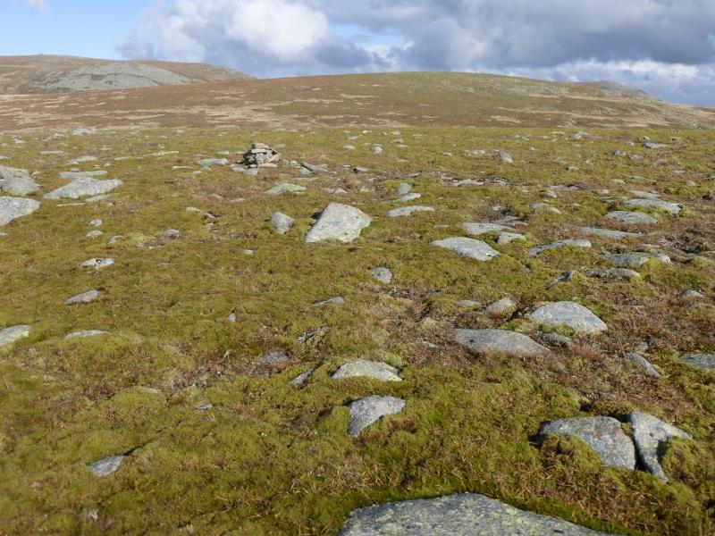
(1) From the car park, locate the obvious track going north west. This crosses the river then meets another track by the Allt na-giubhsaich which is actually a building by a burn of the same name! Follow the path/track signed for Lochnagar which follows the burn, crossing it at one point. If there has been rain, this crossing may result in wet feet. In such conditions, many temporarily leave the track to find a drier crossing place slightly upstream. About 2 km after the building, a large cairn is reached where the Lochnagar path goes off left and descends slightly before heading up to the col between Meikle Pap and Cuidhe Crom. Higher up, the path is stepped. Reach the col then go right and follow a fairly obvious path up Meikle Pap. The summit area is rocky, almost tor like. The path goes to the highest of these and care is needed, especially if the rock is wet. There is no cairn but the highest rock is the summit of Meikle Pap, 980 m.
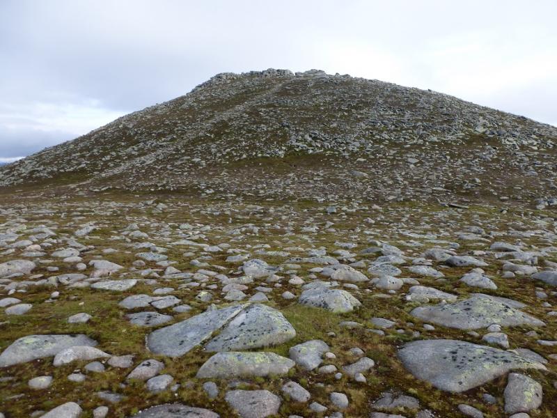
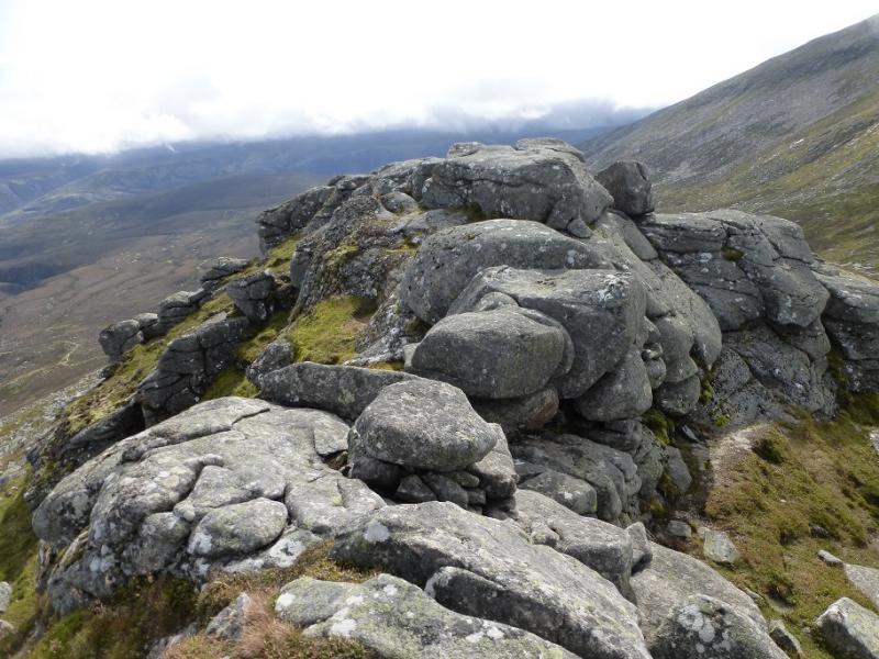
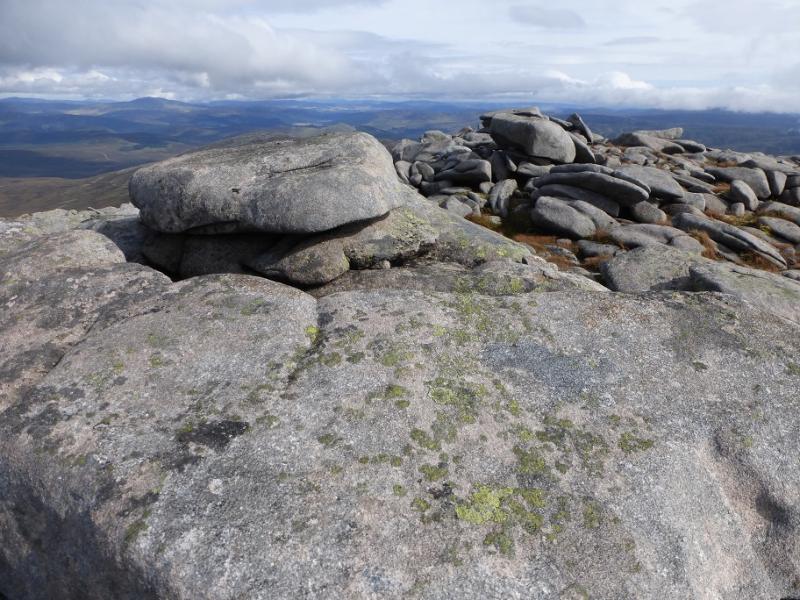
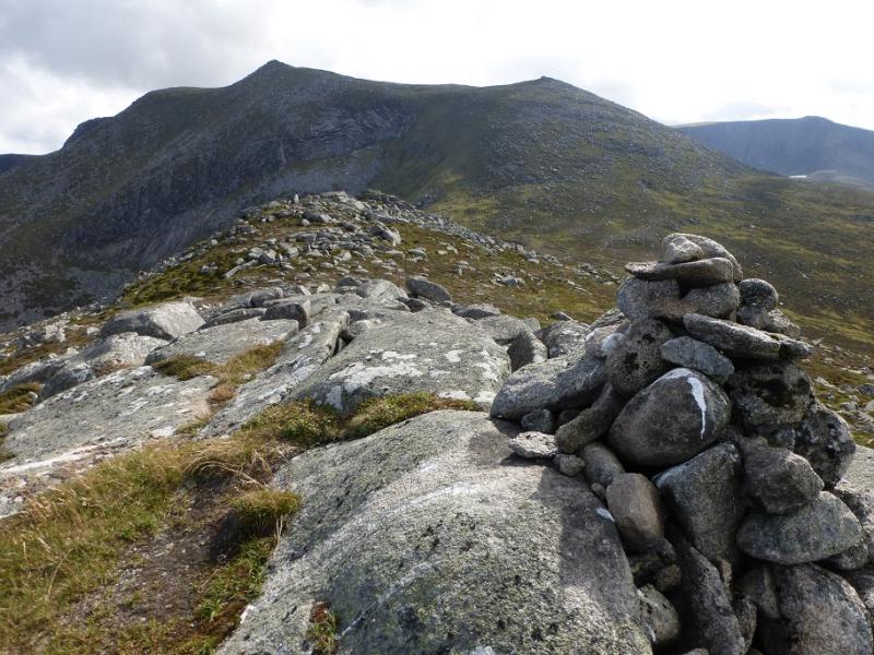
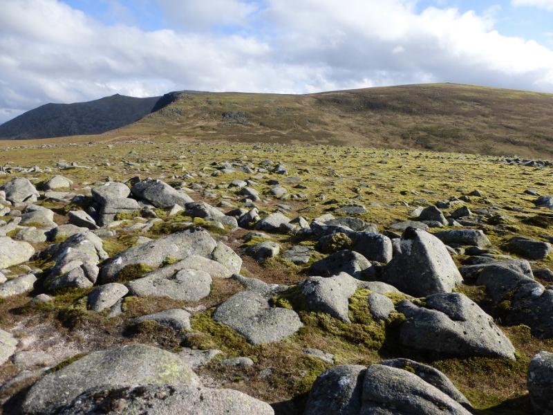
(2) Return to the col then climb the stepped path up Cuidhe Crom. The steps lead into a boulder field then out again. Once the angle eases, reach a cairn then go SE across a plateau to a small outcrop then a little further to a large outcrop. One of the outcrops is the summit of Cuidhe Crom, 1083 m but it isn't very obvious which is the higher although the further one seems to be slightly higher. It is very easy to visit both though, to be sure!
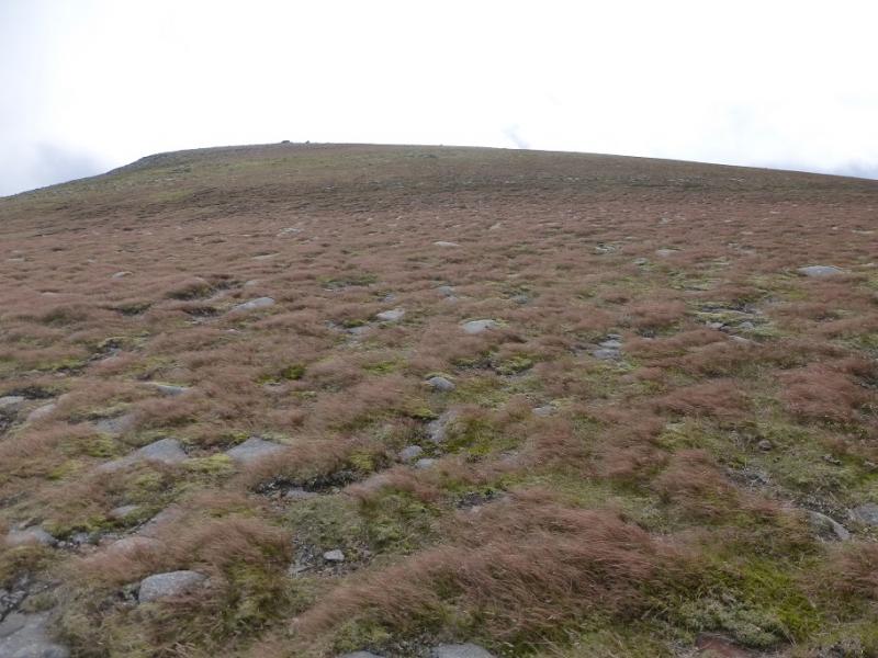
(3) Continue SE and pick a way down a boulder field. It seems easiest to go to the right to avoid as much of the boulder field as possible. Pick a way to the bottom of the boulder field then continue SE down to the grassy/stony col before Little Pap. Pick a way up – there are minor boulder fields. There is a ridge running SW to NE with the highest point at the NE end where a small cairn marks the summit of Little Pap, 956 m.
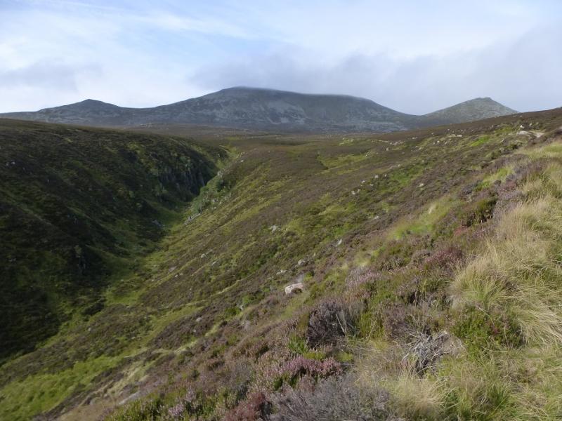
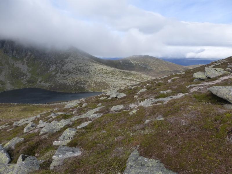
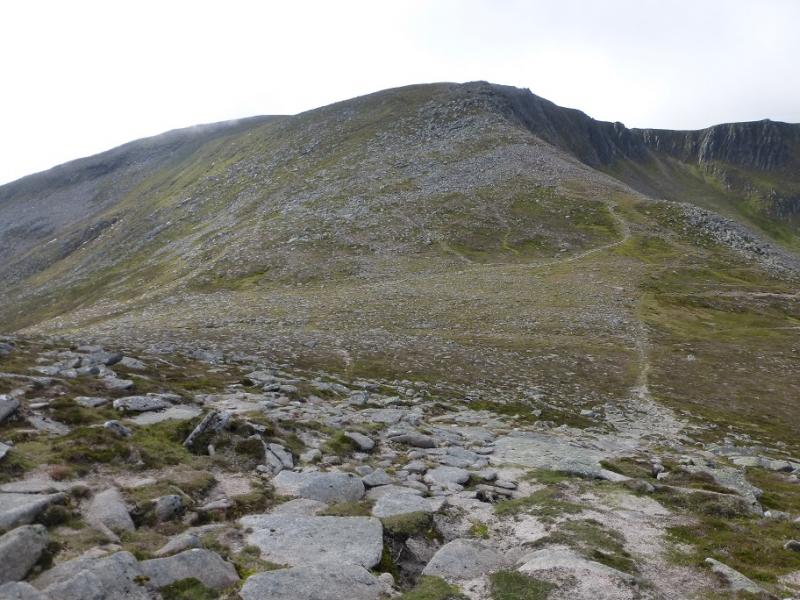
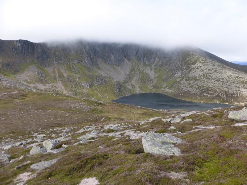
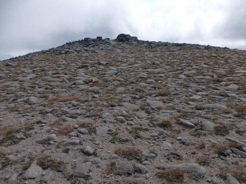
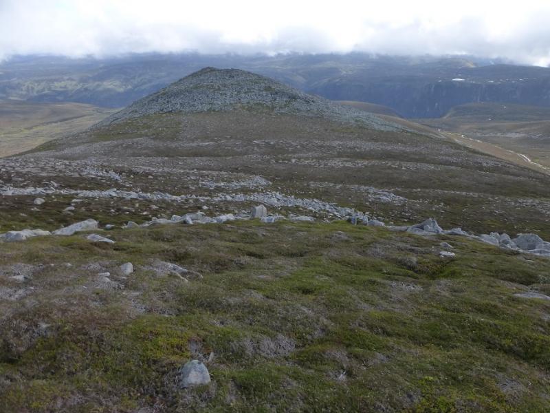
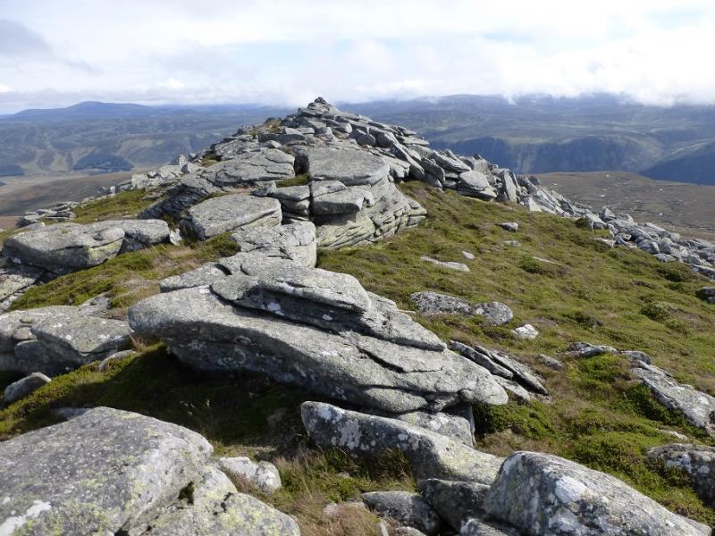
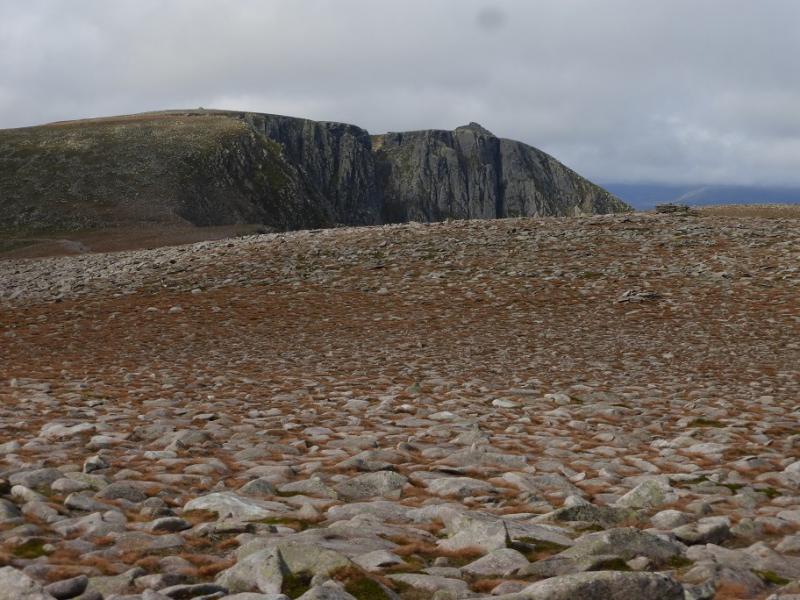
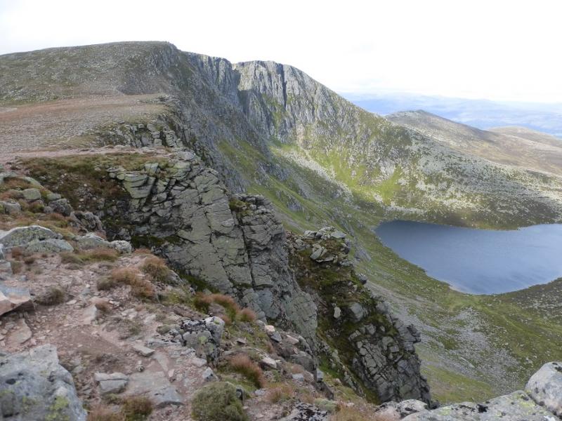
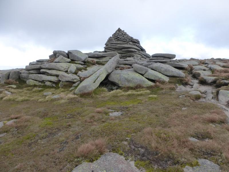
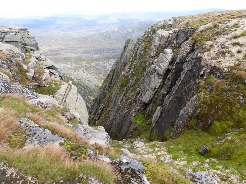
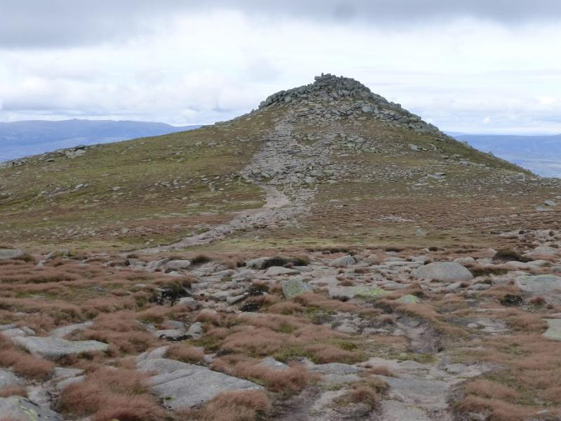
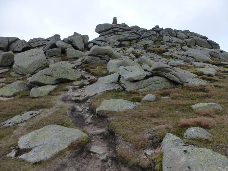
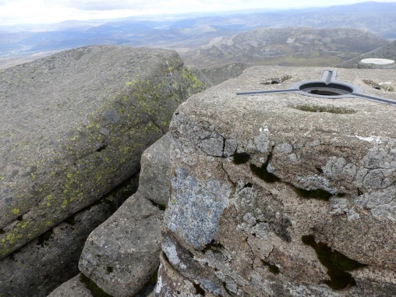
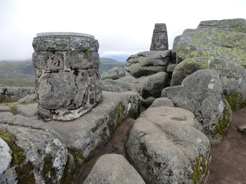
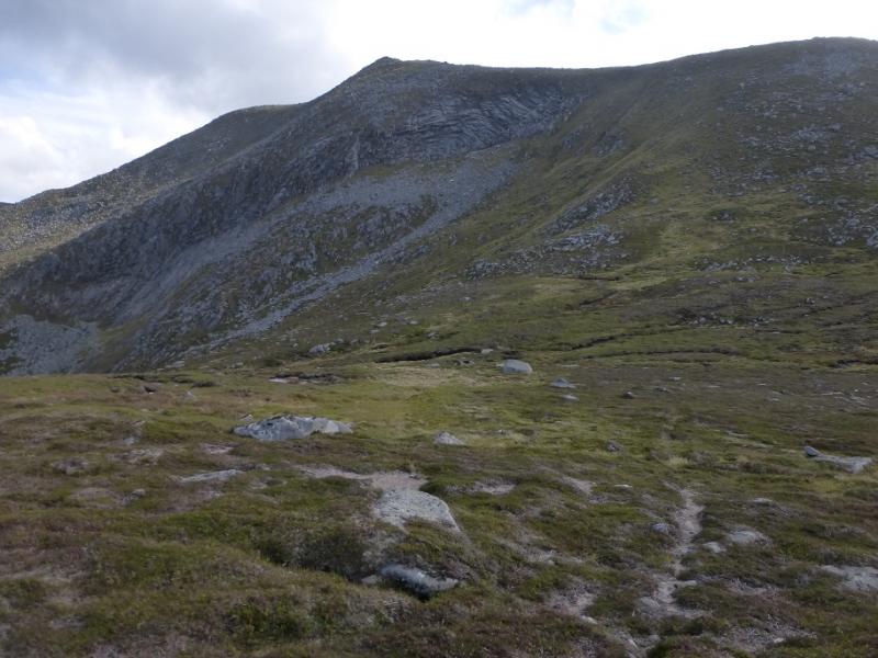
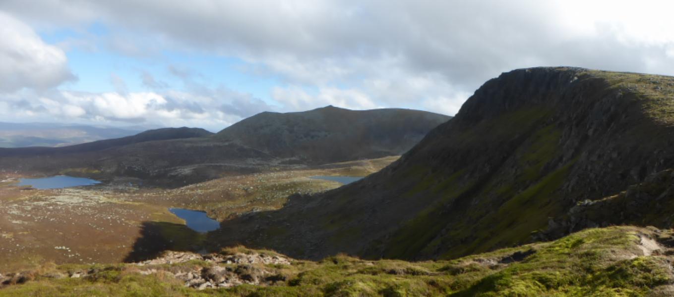
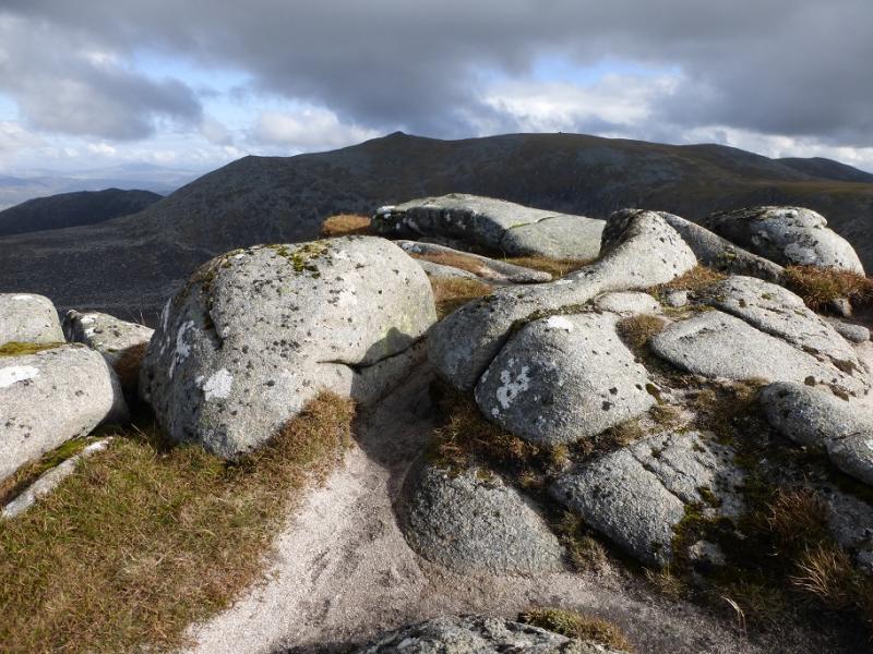
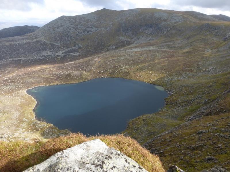
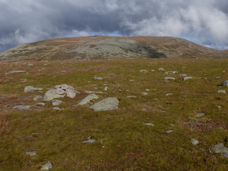
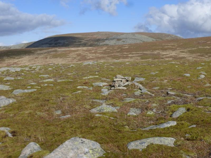
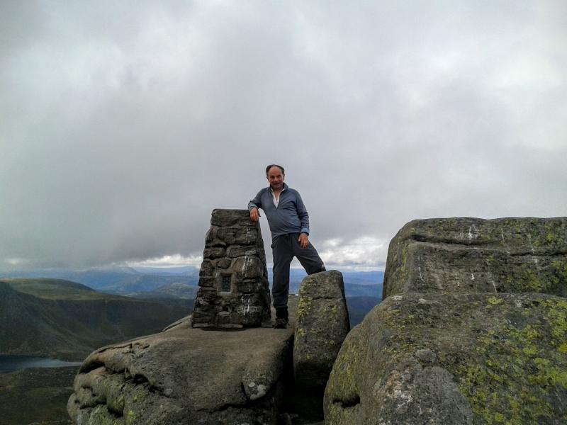
(4) Retrace back to Cuidhe Crom then continue NW to the edge of the plateau which gives a fine view of Lochnagar. Rejoin the main path and follow it around the back of Lochnagar where it gradually climbs up to the impressive summit outcrop of Cac Carn Mor which is easily ascended by going to its right then spiralling up. Continue, roughly NNW, but it is worth maiking a slight detour right to look down some of the impressive gullies before rejoining the main path which leads to the impressive summit outcrop. Care is needed in reaching the highest point but it is not too difficult. There is a trig point adjacent to a rock which seems to be the highest point and is the summit of Lochnagar – Cac Carn Beag, 1155 m. There is also a viewfinder cairn nearby.
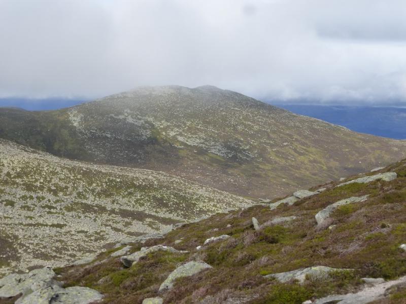
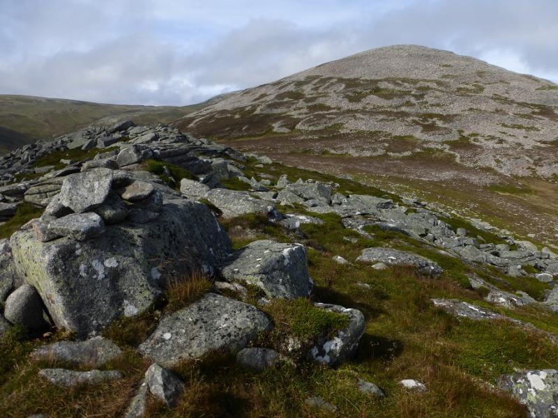
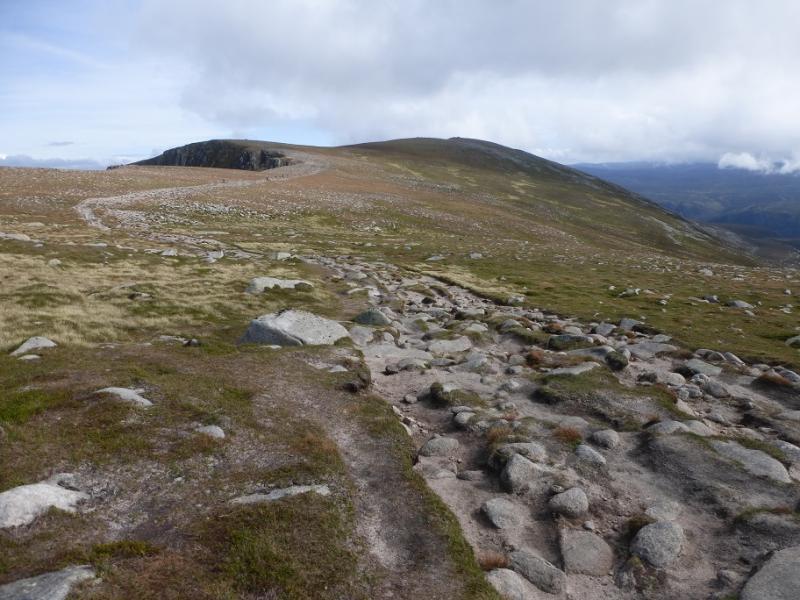
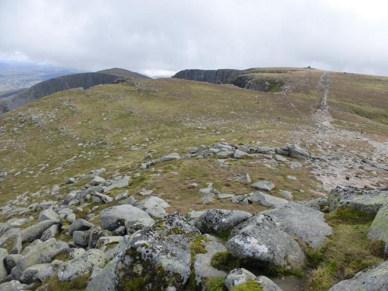
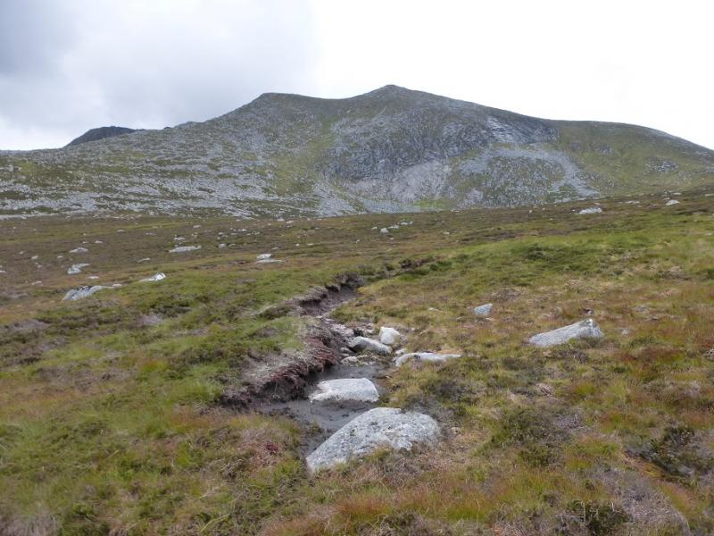
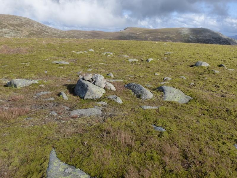
(5) Descend the NW ridge, once clear of the summit rocks, for about 500 m then turn N and follow an ill-defined ridge (faint path) down to the col below Meall Coire na Saobhaidhe. A faint path or two leads up the other side and on to the crest where the highest point is towards the N end. A small cairn marks the summit of Meall Coire na Saobhaidhe, 974 m.
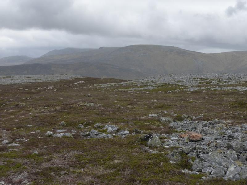
(6) Apart from retracing over Cac Carn Beag, there are two ways back. One is to head roughly ESE, aiming to cross the shoulder to the N of Meikle Pap then contouring round to rejoin the main path. This is rough and wet in places but there are hints of paths. It might be quicker, although this has not been checked out, to head directly, roughly due E, for the main track and follow it back over its highest point. This may be shorter and involve less ascent than contouring around Meikle Pap. Once on the maion track, follow it down and back to the start.
Notes
(a) This walk took place on 7th September, 2016, and about 10 and 26 years earlier.
(b) Missing out Cuidhe Crom and Little Pap saves over an hour.
(c) Missing out Meall Coire na Saobhaidhe also saves about an hour and one would then return by the main path.
Photos - Hover over photo for caption. Click on to enlarge. Click on again to reduce.