Get Lost Mountaineering
You are here: Scotland » 07 Glen Shee, Cairn O'Mount and Glen Clova to Glen Esk » Lochnagar Range
Conachcraig Traverse from Spittal of Glenmuick
Conachcraig Traverse from Spittal of Glenmuick
Start/Finish
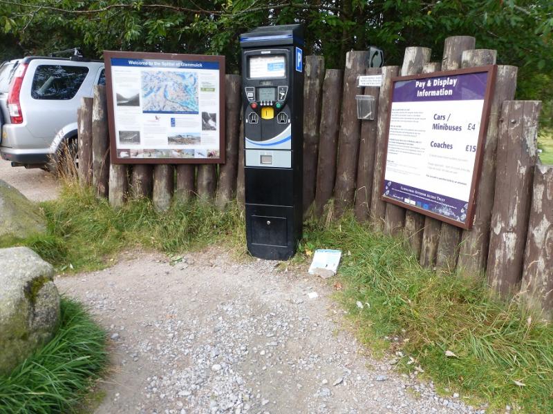
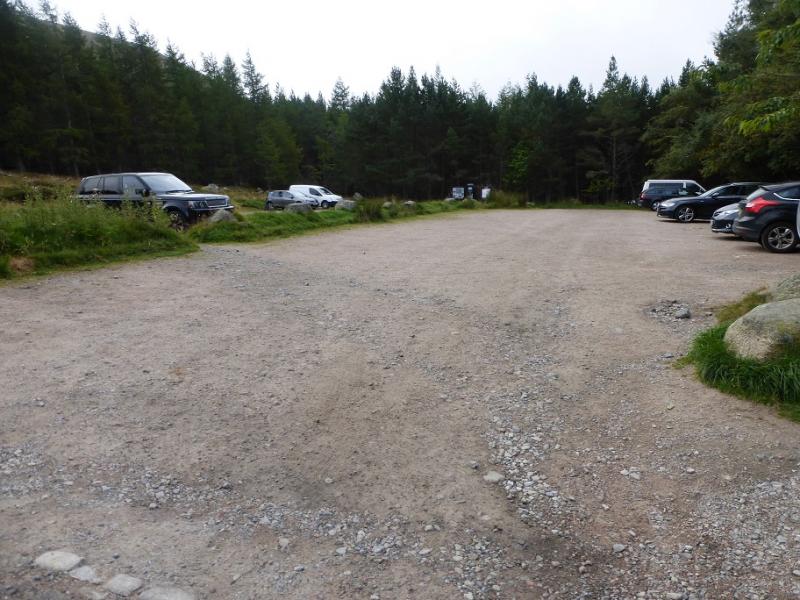
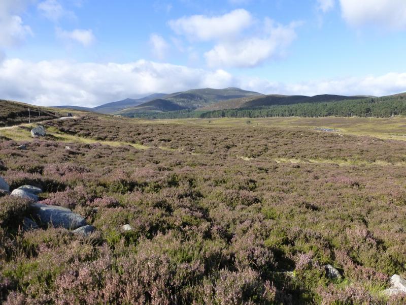
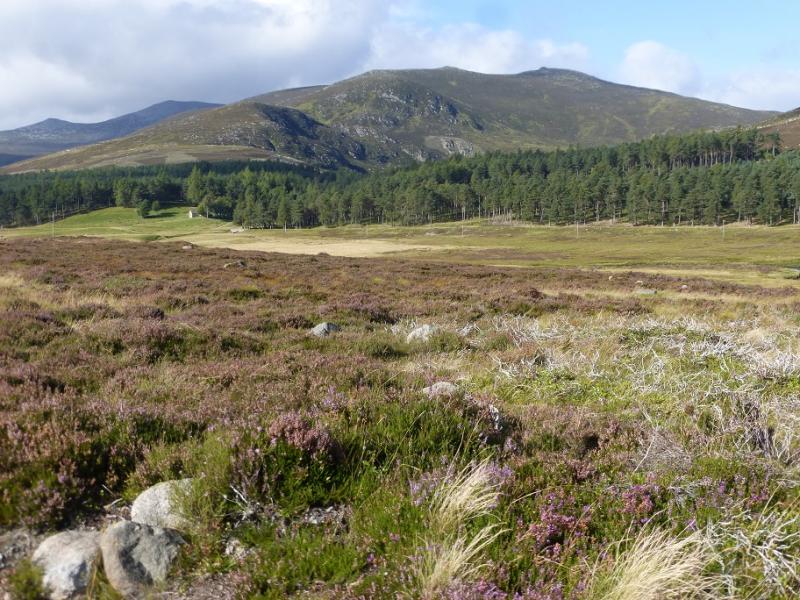
Spittal of Glenmuick car park. From the centre of Ballater, drive towards Aboyne but leave the main road, on a left hand bend, just before leaving the village and cross the River Dee. Turn right and follow the road for about a mile to the Bridge of Muick. Do not cross the bridge but continue ahead, SE, on the east side of the River Muick, on a more minor road which ends, after about 8 miles at the car park where there are toilets close by on the way to the hill.
Distance/Time
12 km. About 4 hours.
Peaks
Conachcraig, 865 m, NO 279 865. OS sheet 44.
Introduction
Conachcraig is often ignored as it lies very much in the shadow of Lochnagar, only about 3 km away. It gives a short pleasant ascent and, obviously, has very good views of Lochnagar. The hill itself is fairly rounded and one can easily wander around on the summit plateau where the highest point is not cairned and could be one of a few low tors. This route is a a traverse of its tops with a different return from the ascent route.
Route
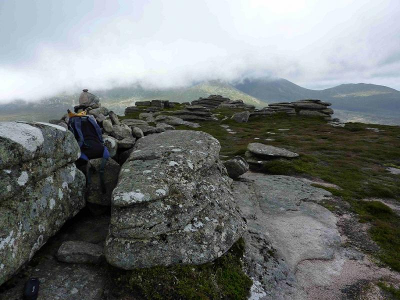
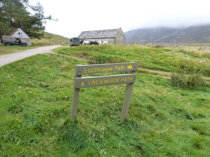
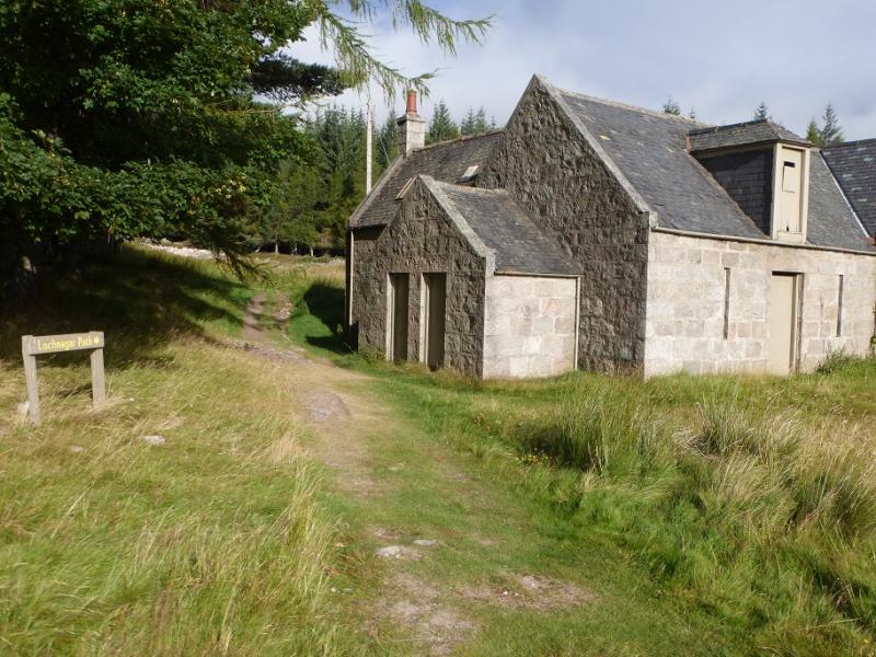
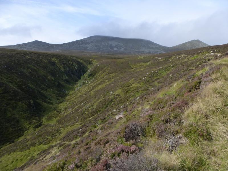
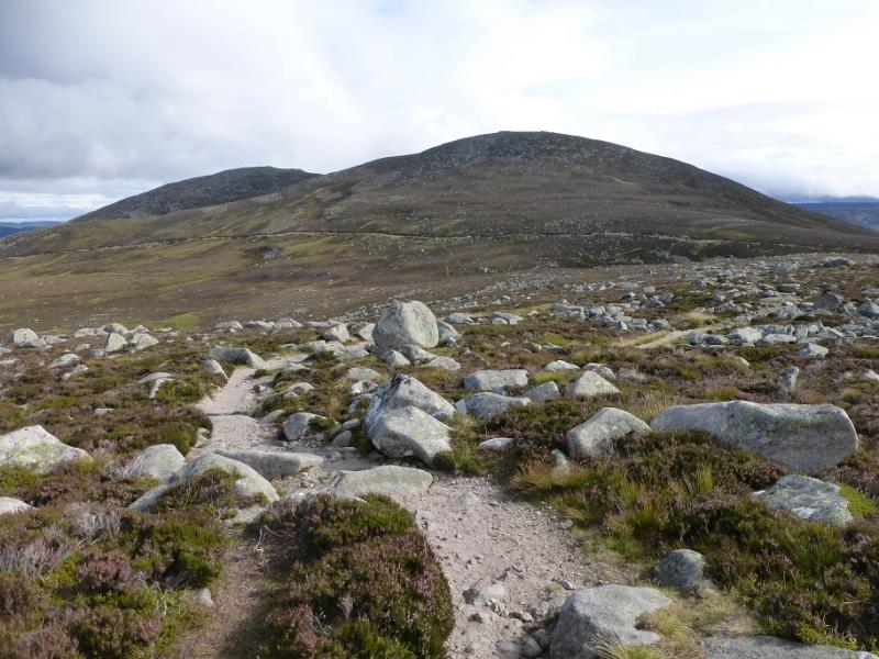
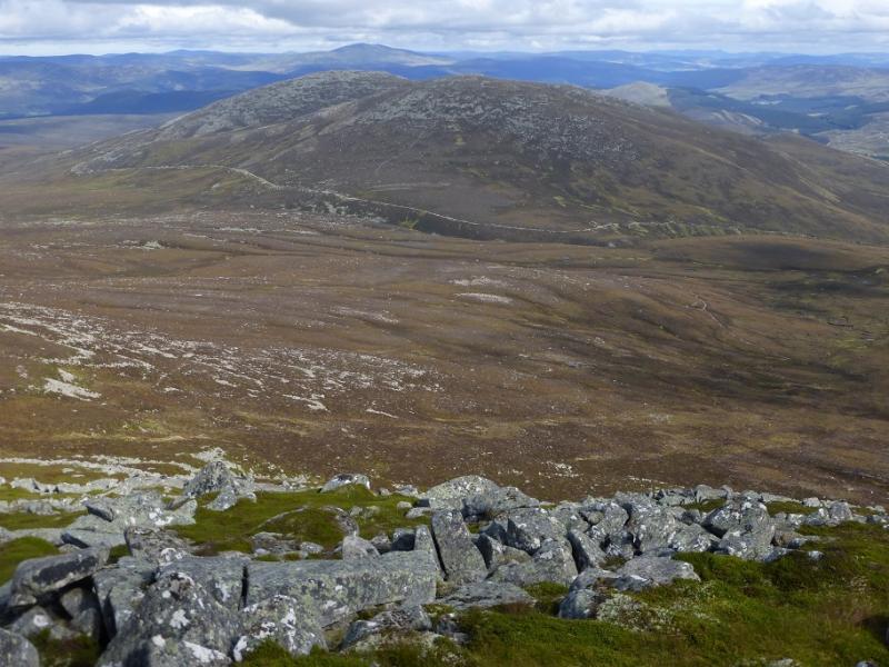
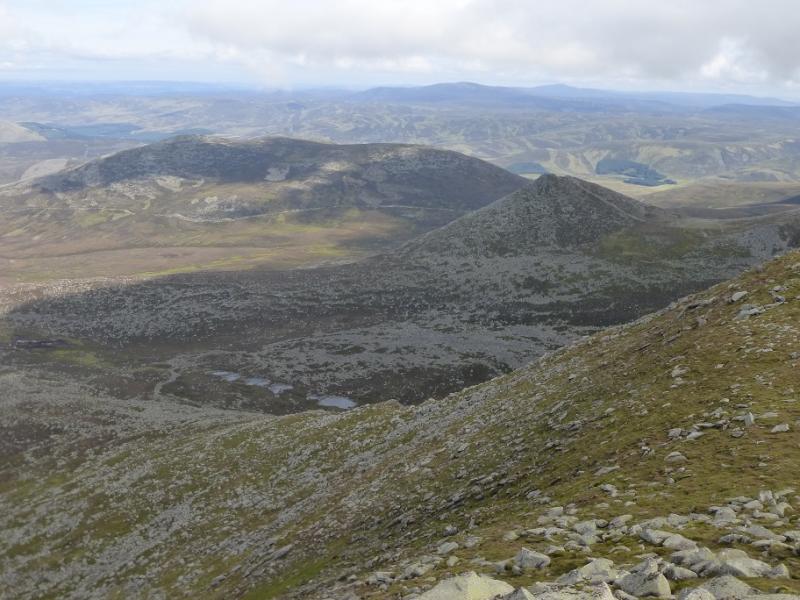
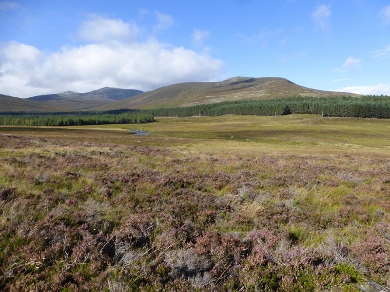
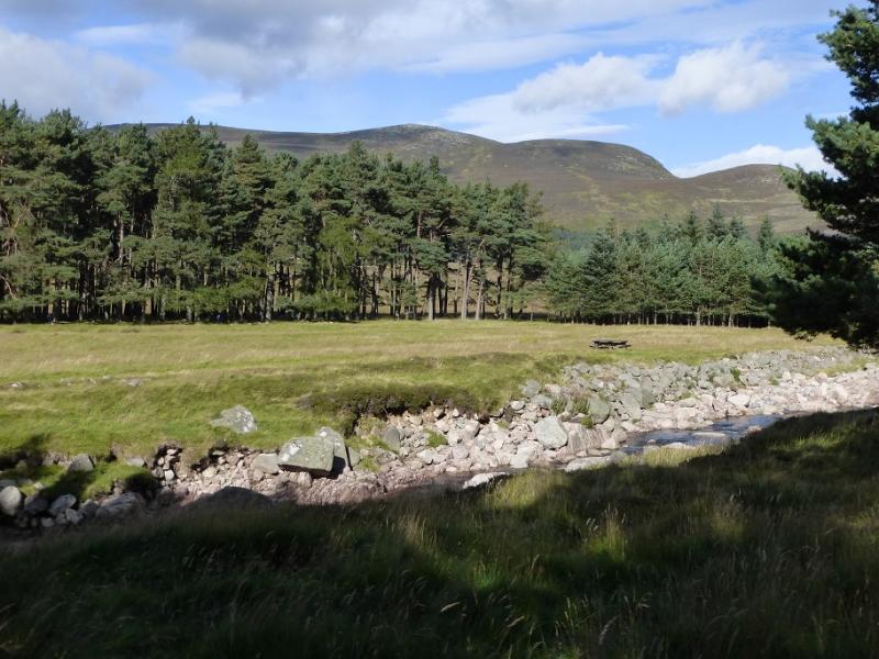
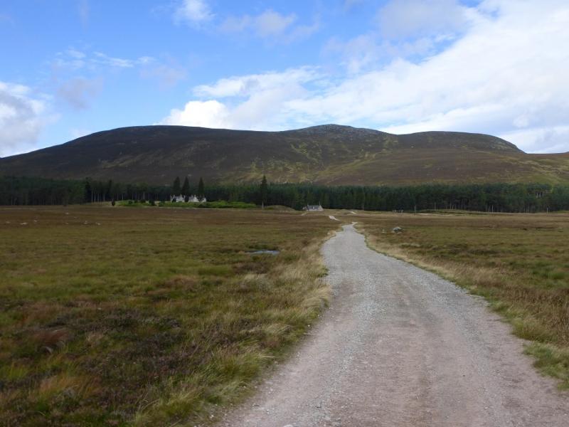
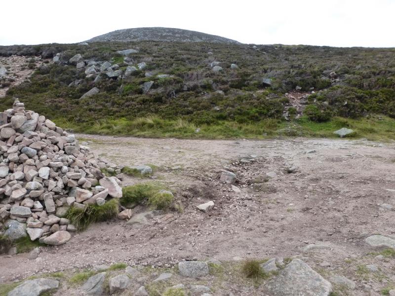
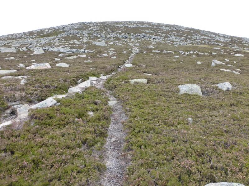
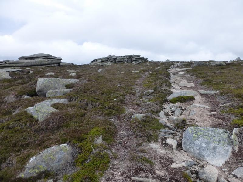
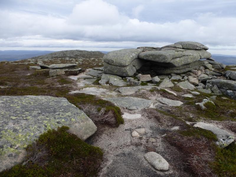
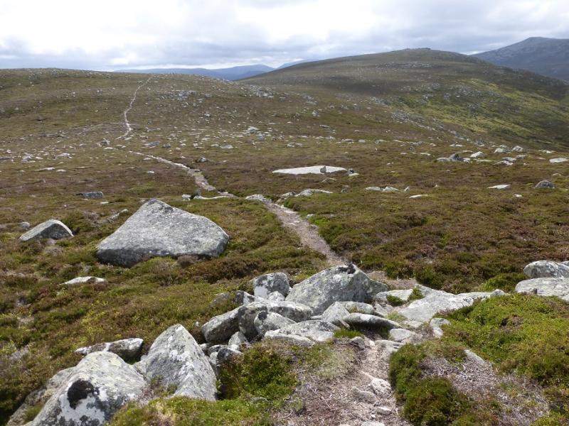
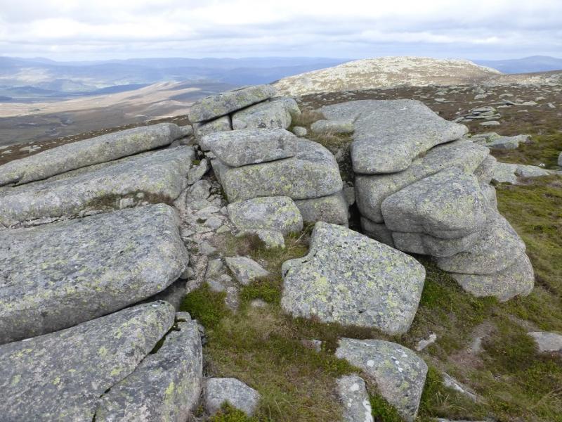
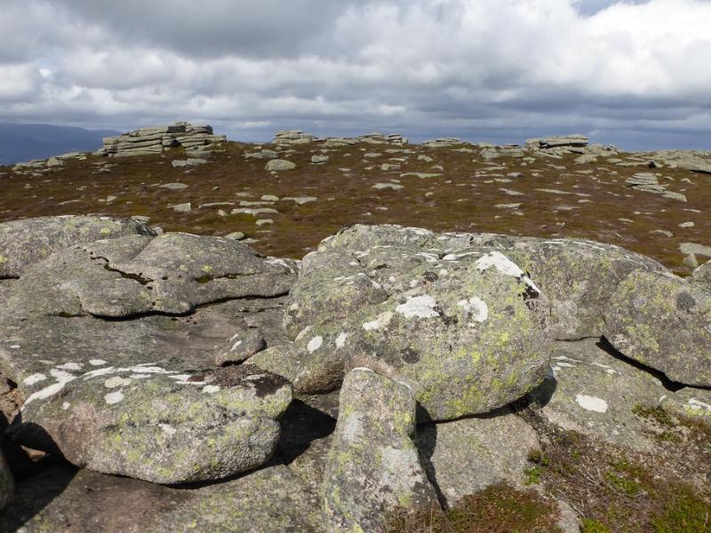
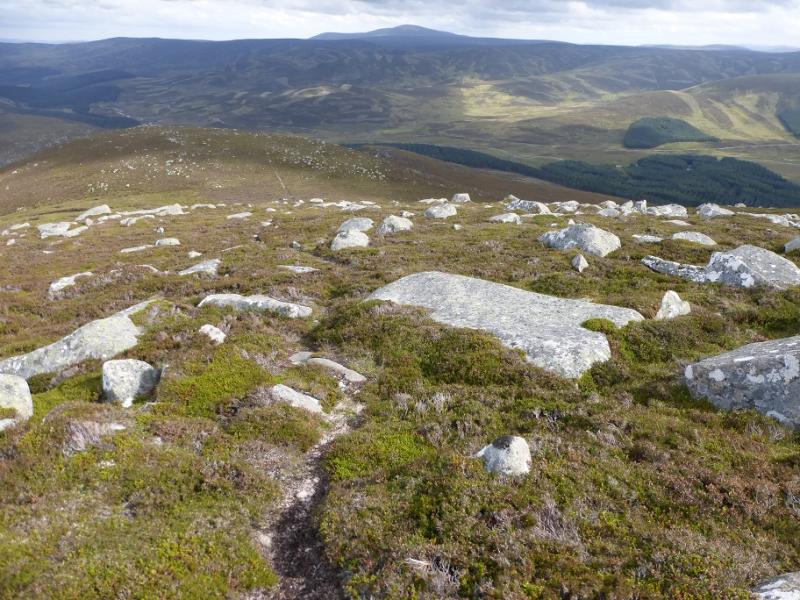
(1) From the car park, locate the obvious track going north west. This crosses the river then meets another track by the Allt na-giubhsaich which is actually a building by a burn of the same name! Follow the path/track signed for Lochnagar which follows the burn, crossing it at one point. If there has been rain, this crossing may result in wet feet. In such conditions, many temporarily leave the track to find a drier crossing place slightly upstream. About 2 km after the building, a col is reached where the Lochnagar path goes off left. One can take the path from here or go about 60 m further, there is a large boulder on the right of the track. Leave the track here and follow a peaty path up the SW flank which leads to the summit of Conachcraig, 865 m. There are three slabby “tors” in the summit area, all about the same height and they are all on the first section of the plateau. On 11/9/2016, there was no longer a summit cairn which used to be in the wrong place anyway!
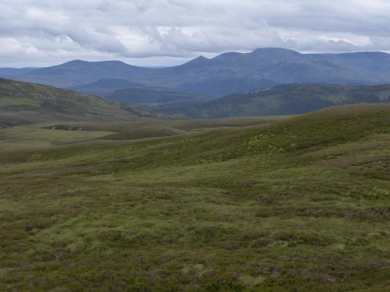
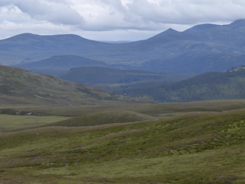
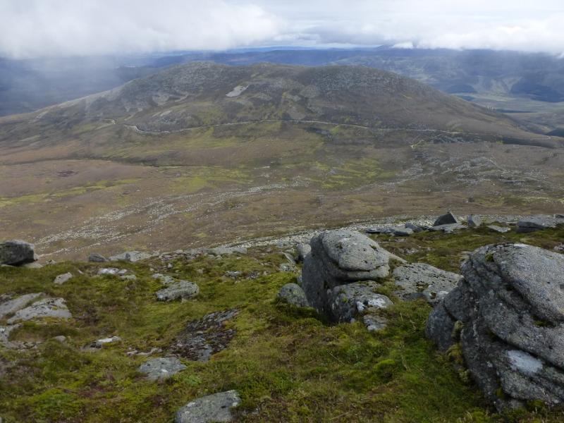
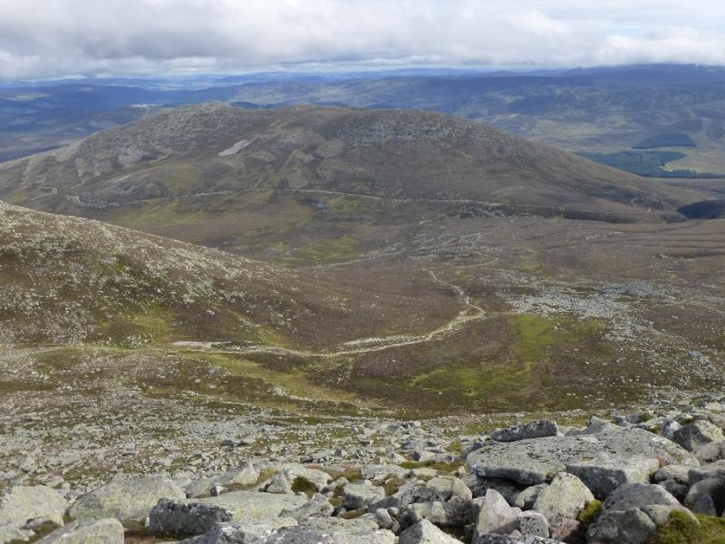
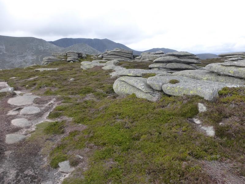
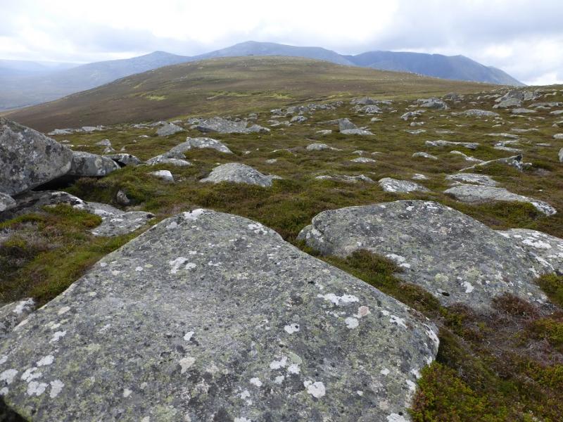
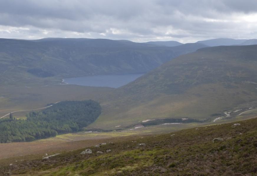
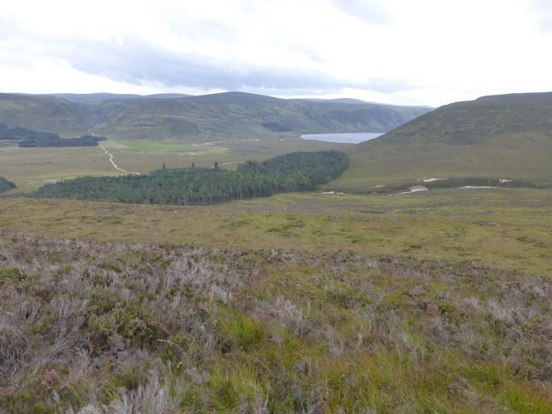
(2) Follow the path NE across the plateau to the middle top then go NW to the third top which is almost the height of the summit and gives beter views of the cliffs of Lochnagar. Return to the middle top then go E down the Carn an Daimh ridge which has a path down it. Follow this down to just above the col before the last top before the forest. This route then leaves the ridge and follows various minor and intermittent paths to meet the forest on the opposite bank to where the outward path emerged. In a dry spell, cross the stream and rejoin the outward path back to the start. In wet weather, aim to cross the stream higher up where the outward track crosses it. An alternative, not checked out but it looks feasible, is to stay on the Carn an Daimh ridge until it reaches the track near Inchnabobart then follow that S to join the outward route near the sealed building.
Notes
(a) This walk took place on 11th September, 2016, and on 22nd July, 2009, when was the author's final Corbett of the first round.
Photos - Hover over photo for caption. Click on to enlarge. Click on again to reduce.