Get Lost Mountaineering
You are here: Scotland » 01 South of Oban to Stirling and Fife » Dunoon, Lock Eck and Lochgoilhead
Stob na Boinne Druim-fhinn & Beinn Lochain from Lettermay
Stob na Boinne Druim-fhinn & Beinn Lochain from Lettermay
Start/Finish
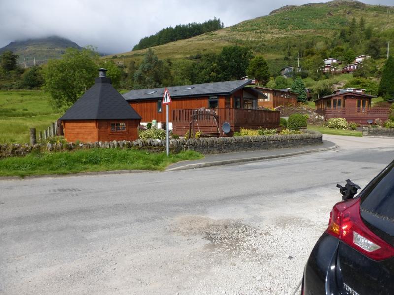
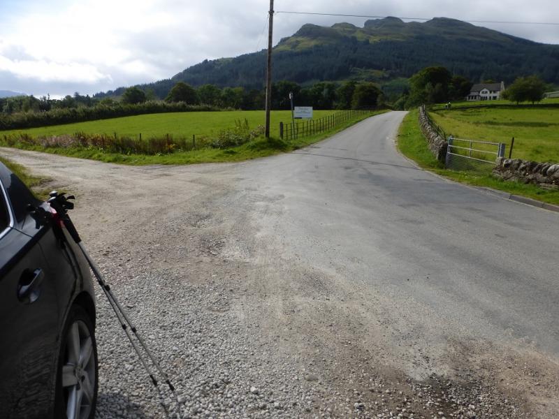
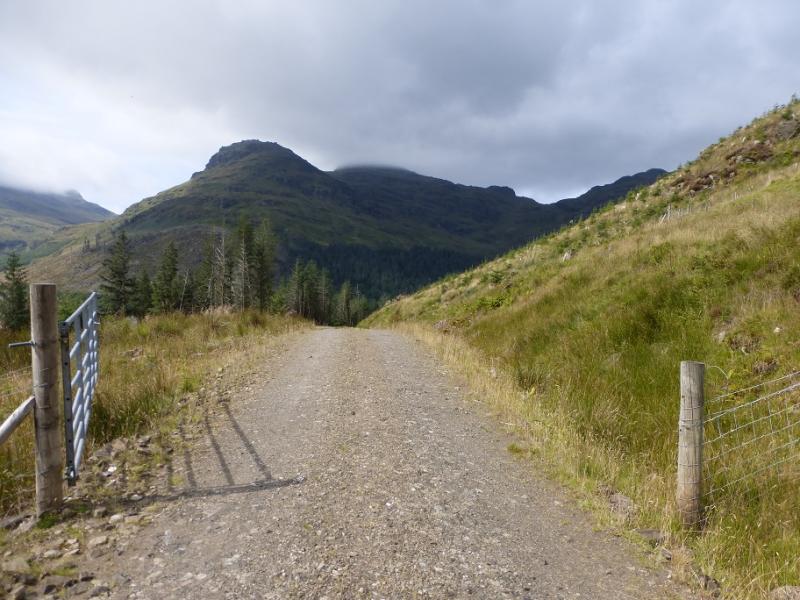
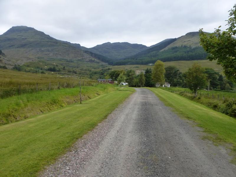
Lettermay on the east side of Loch Goil.From the Rest and Be Thankful take the narrow B828 then B839 for Lochgoilhead. Just before Lochgoilhead, take the right turn for Carrick Castle and follow it to the loch side then pass all the holiday chalets before parking in a lay by just before the road goes slightly uphill.
Distance/Time
11 km. About 6 – 7 hours.
Peaks
Stob na Boine Druinm-fhinn, 658 m, NN 168 025.
Beinn an Lochain, 703 m, NN 160 006. OS Sheet 56: Loch Lomond & Inverary.
Introduction
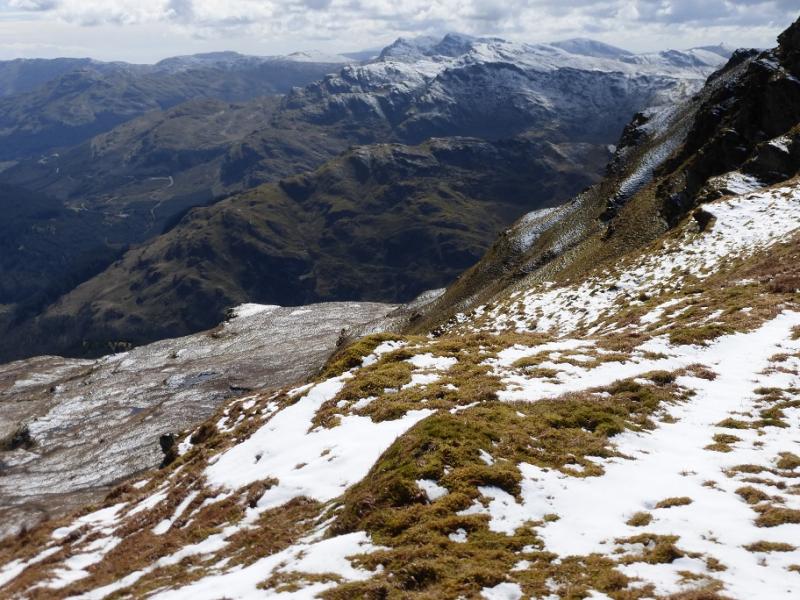
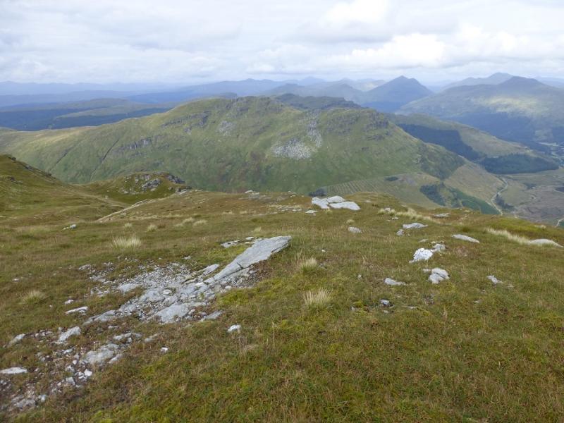
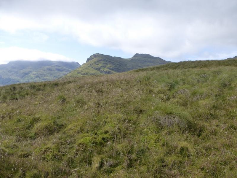
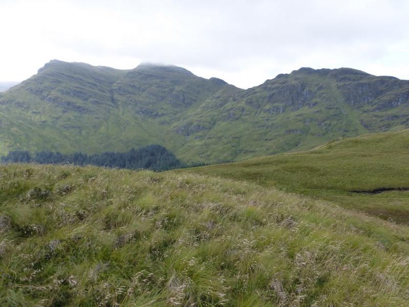
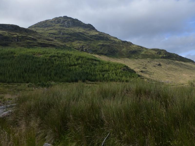
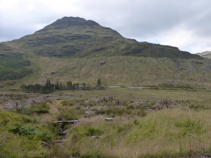
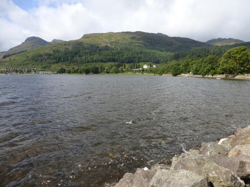
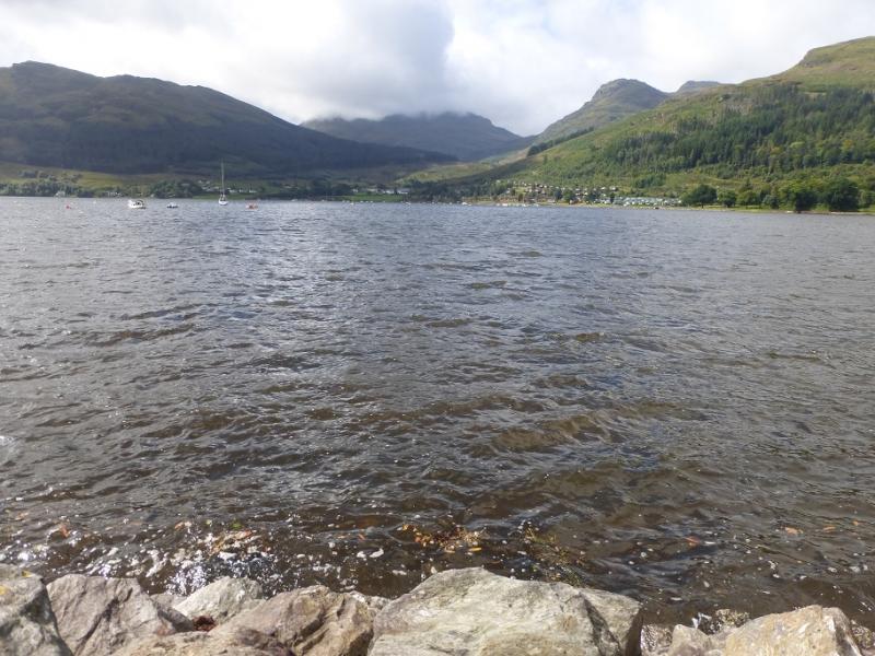
This is a tough round with much of it steep and pathless. Do not underestimate it! Under snow, it would be very challenging indeed. The descent of Beinn Lochain to the Curra Lochain is particularly steep. There are excellent views to Beinn Bheula, Ben Donich, The Brack, Cnoc Coinnich, Loch Goil and further afield to the Arrochar Alps. The nature of the ground would make this route very challenging in mist.Note that following a survey in 2016, Stob na Boine Druim-fhinn was found not to have the necessary drop on all sides to be a separate Graham, missing out by 0.1 m!
Route
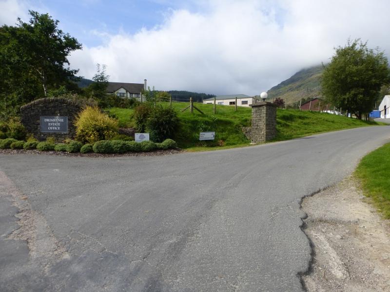
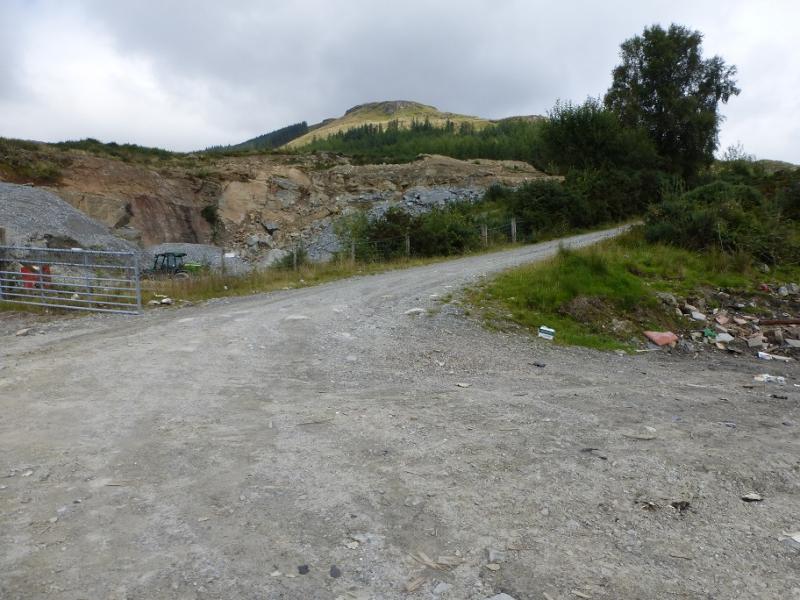
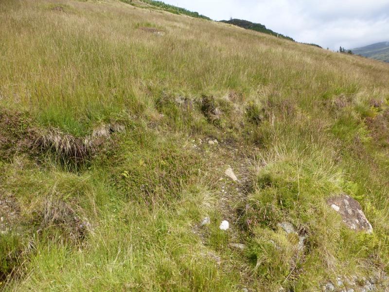
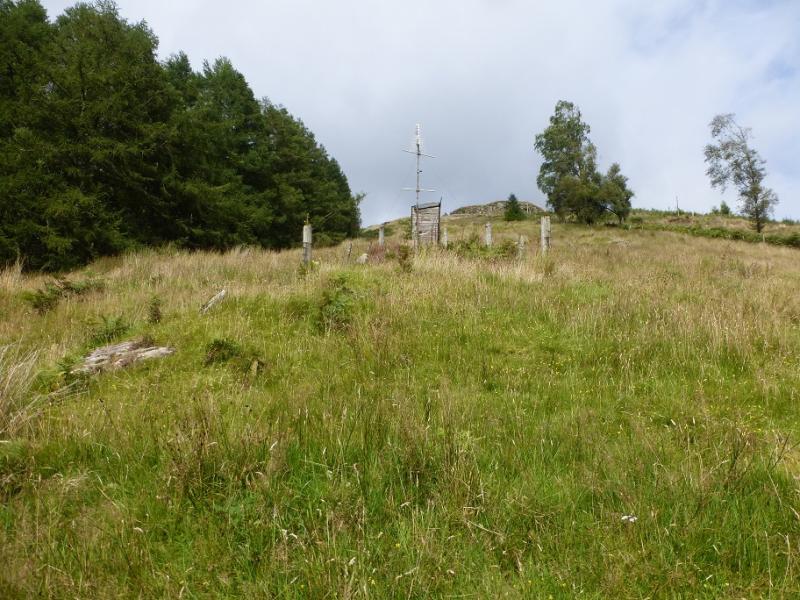
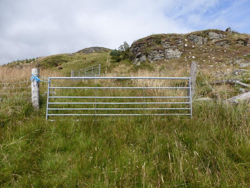
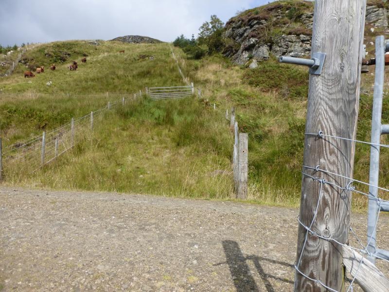
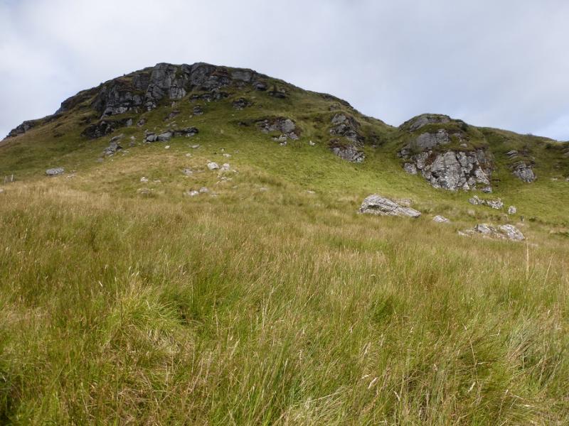
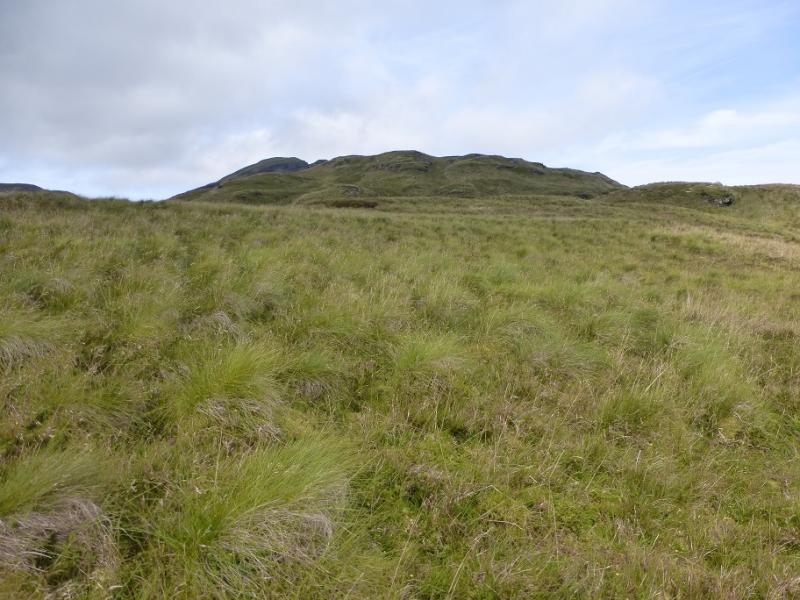
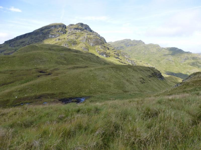
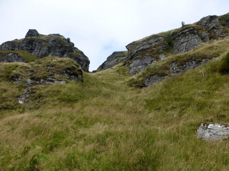
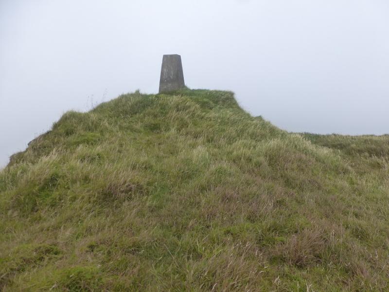
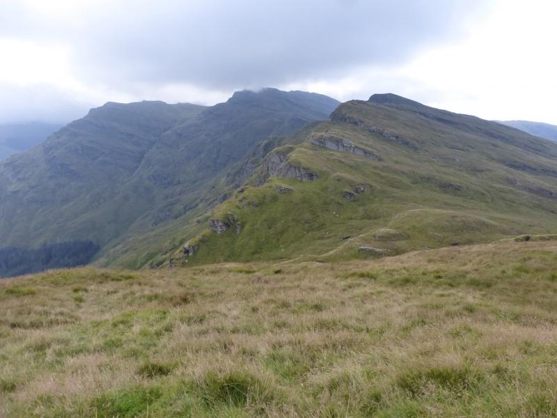
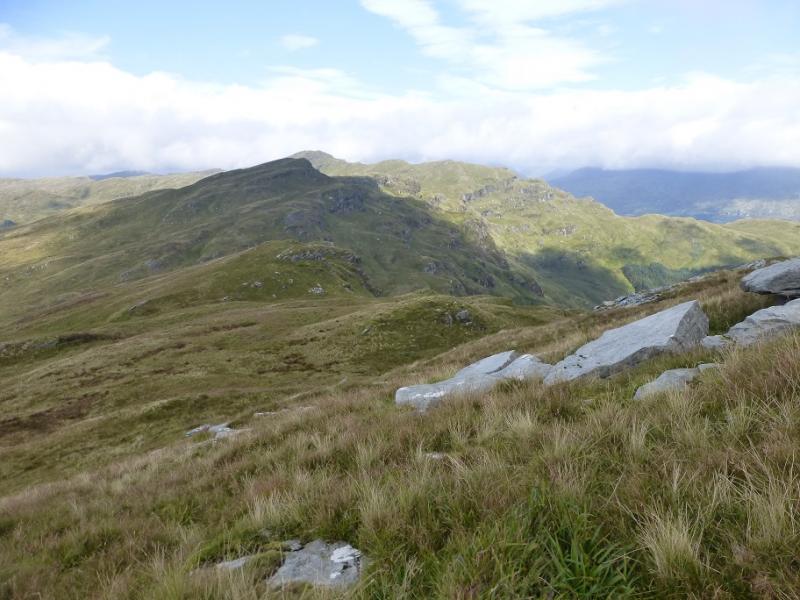
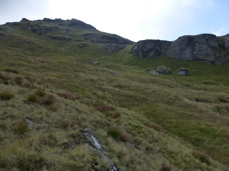
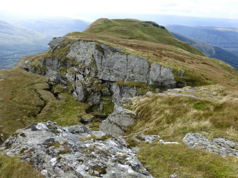
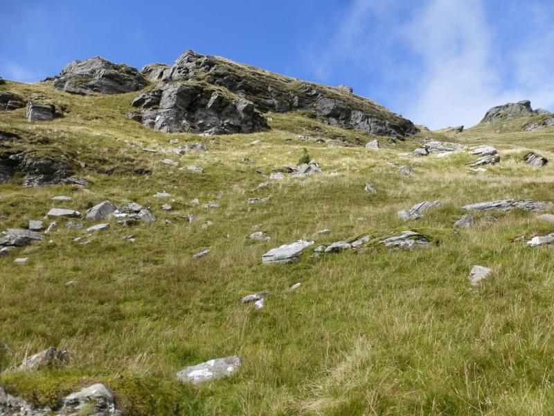
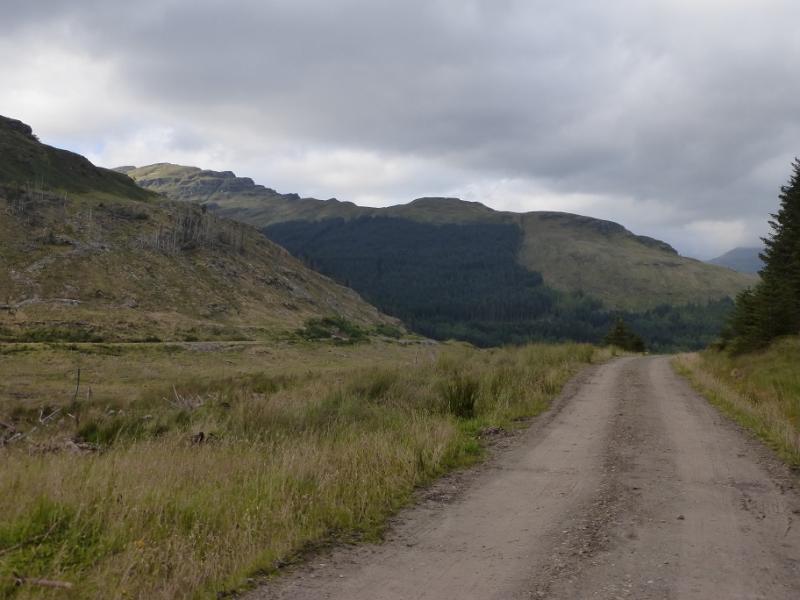
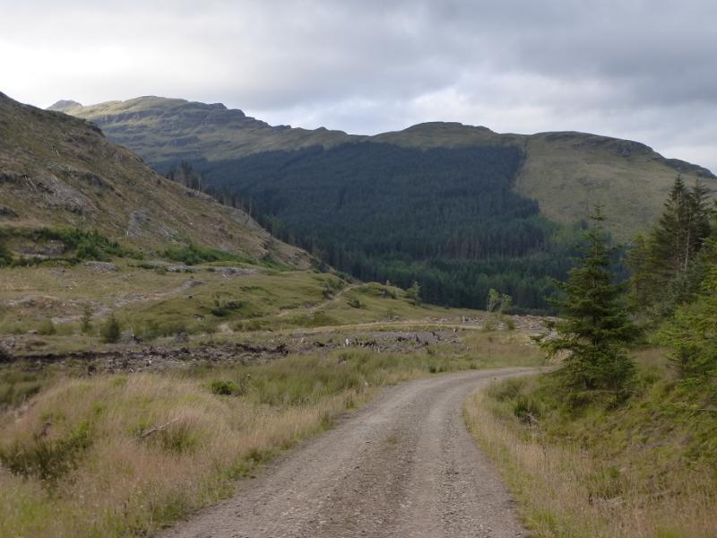
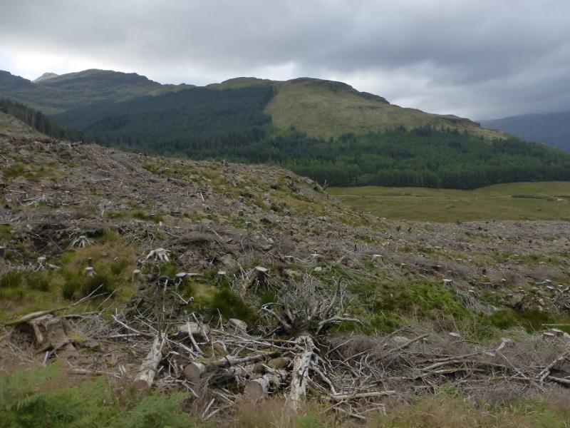
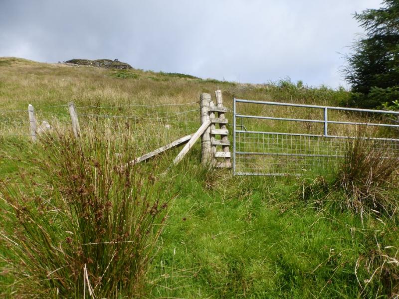
(1) Continue up the road to reach the entrance to the Drymsynie Estate. Walk past all the buildings and continue along a track. At a junction by a quarry, take a reverse right fork which starts to climb to reach another rtrack junction. Above, and slightly left, is the edge of the forest. To its righ, there used to be a firebreak but the trees on the right have been felled and replanted. Head straight up, aiming for a small aerial. Continue to a gate the keep going to reach a series of gates where another track is crossed. Continue up and keep ascending on rough grass, steep in places. The ridge is fairly well defined but undulates a lot with some boggy patches. Any crags are easily avoided. Further up, there is an obvious steep grassy cleft between some major crags. Go up this, keeping to the right where possible. At the top, exit left and continue up the undulating ridge. A final short steep section leads to the summit crest where a trig point, on a small mound, marks the summit of Stob na Boine Druinm-fhinn, 658 m.
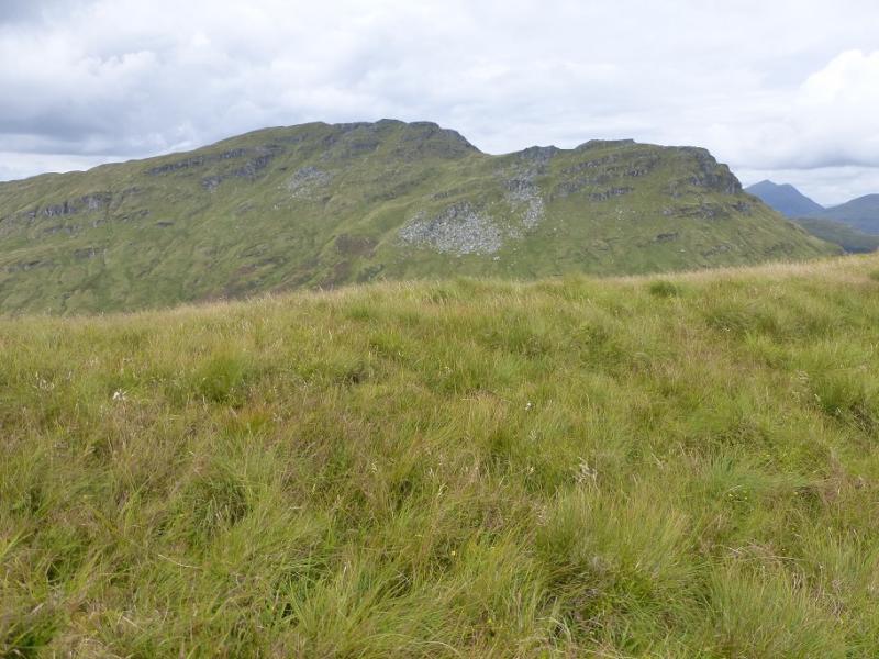
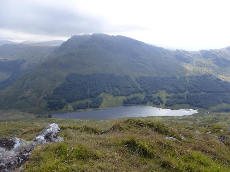
(2) Retrace to the bottom of the steep section then leave the crest and descend SSE to the ill-defined col below Beinn Tharsuinn. If wanting to ascend this hill, then stay to the right of the obvious crags. This route traverse to the left, SE, of the crags. Surprisingly, there is a faint path which guides one, on grass, below the impressive crags above. The path leads to the col before Beinn Lochain. Cross the fence then ascend S up pathless grassy slopes. Higher up, the route curves around to the W. On 30/8/16, the highest point had a tiny cairn of a very few stones which marks the summit of Beinn an Lochain, 703 m. In mist, it would be hard to know when one was on the summit.
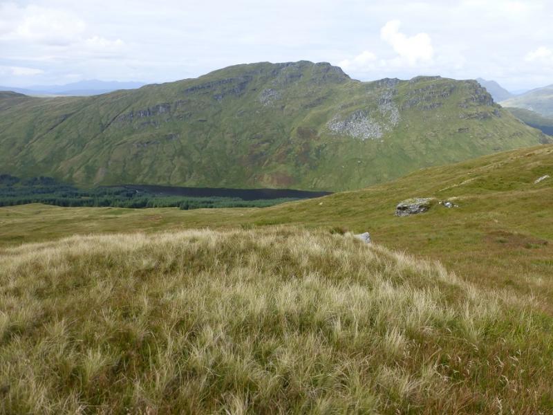
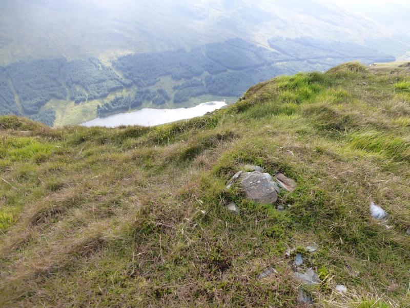
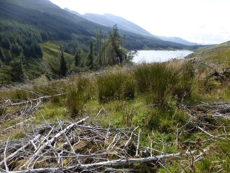
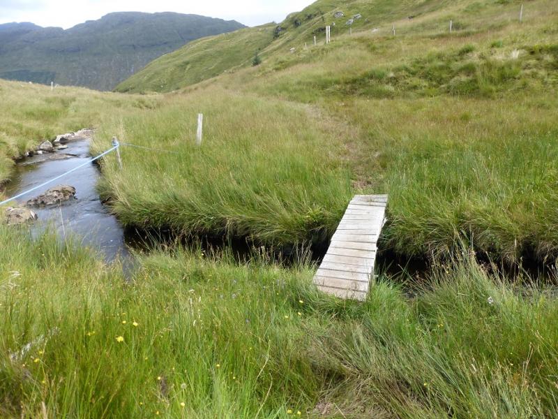
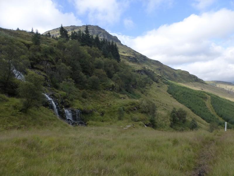
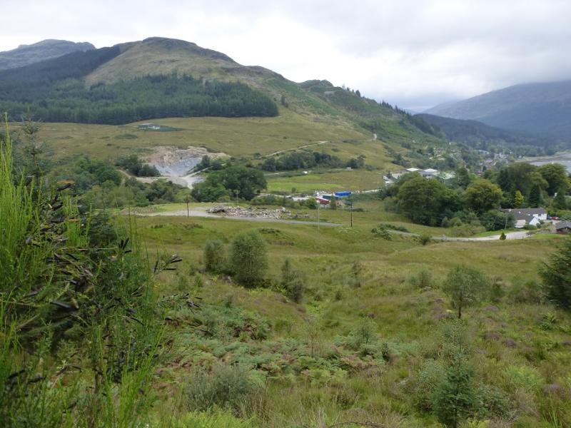
(3) Walk E to the first dip then leave the crest and pick a way down the steep grassy slopes. There are crags either side but ahead it is mainly grassy so keep weaving around to find the best ground. Initially aim for the middle of the Curra Lochain but, lower down, drift towards its left end where the trees are. Either descend to the lochan then follow the path between the lochan and the trees or pass the trees well to their left then descend to the path. The outflow of the lochan is crossed by a small bridge and one is now on the Cowal Way which is quite a boggy path. Follow the path down, past the waterfalls, then through a firebreak to meet a major track. Turn right and follow this, uphill for a while, then continue E and descend into Lettermay and reach the road.
Notes
(a) This walk took place on 30th August, 2016, and about 15 years previously.
Photos - Hover over photo for caption. Click on to enlarge. Click on again to reduce.