Get Lost Mountaineering
You are here: Scotland » 01 South of Oban to Stirling and Fife » Dunoon, Lock Eck and Lochgoilhead
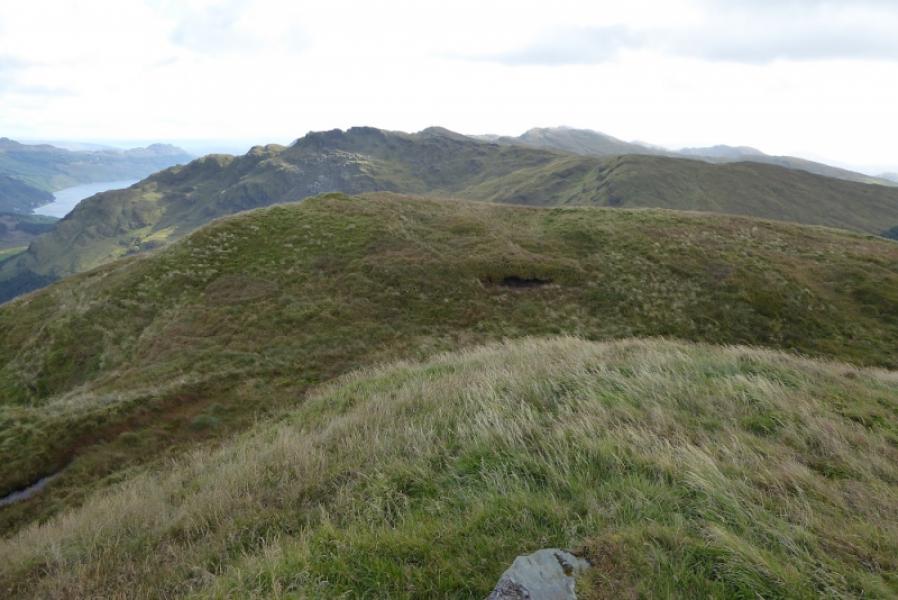
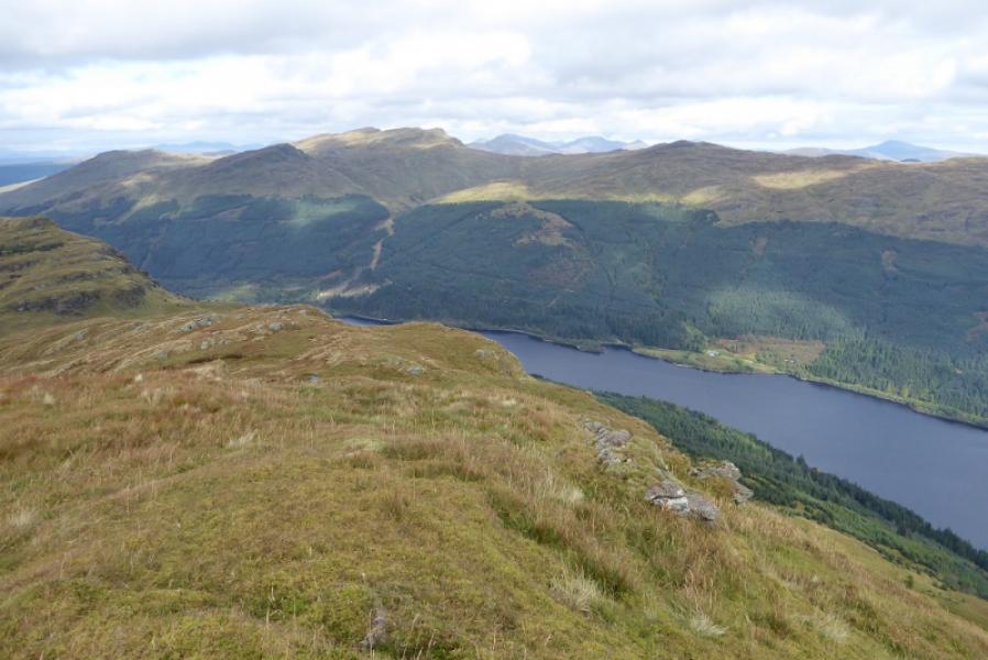
Beinn Bheula from Lettermay
Beinn Bheula from Lettermay
Start/Finish
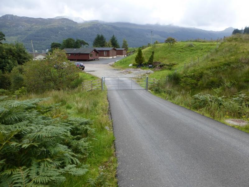
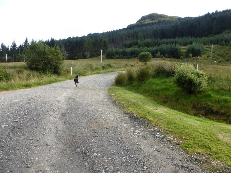
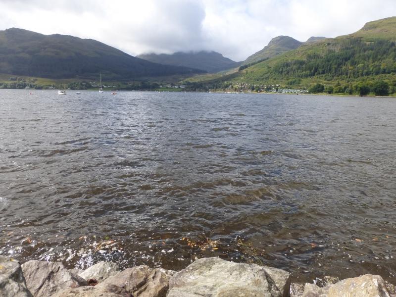
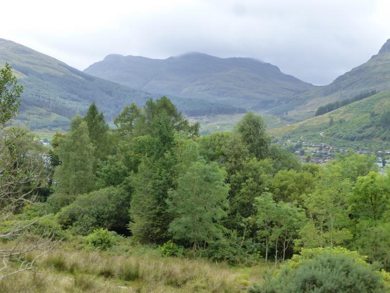
Lettermay on the east side of Loch Goil.From the Rest and Be Thankful take the narrow B828 then B839 for Lochgoilhead. Just before Lochgoilhead, take the right turn for Carrick Castle and follow it to the loch side then pass all the holiday chalets before crossing the bridge just before Lettermay. Take the next right, which is a track but easy to drive on, and follow it up to where it becomes a short stretch of tarmac road just before a metal gate. Park near here.
Distance/Time
11 km. About 5 hours.
Peaks
Bheinn Bheula, 779 m, NS 154 983. OS Sheet 56: Loch Lomond & Inverary.
Introduction
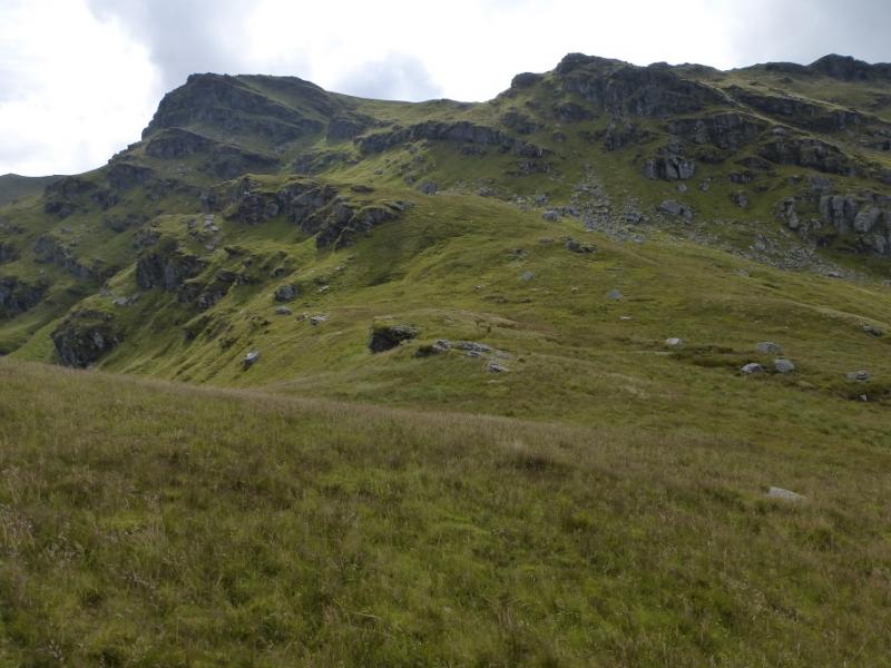
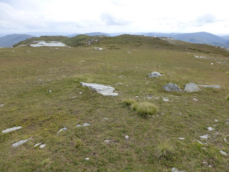
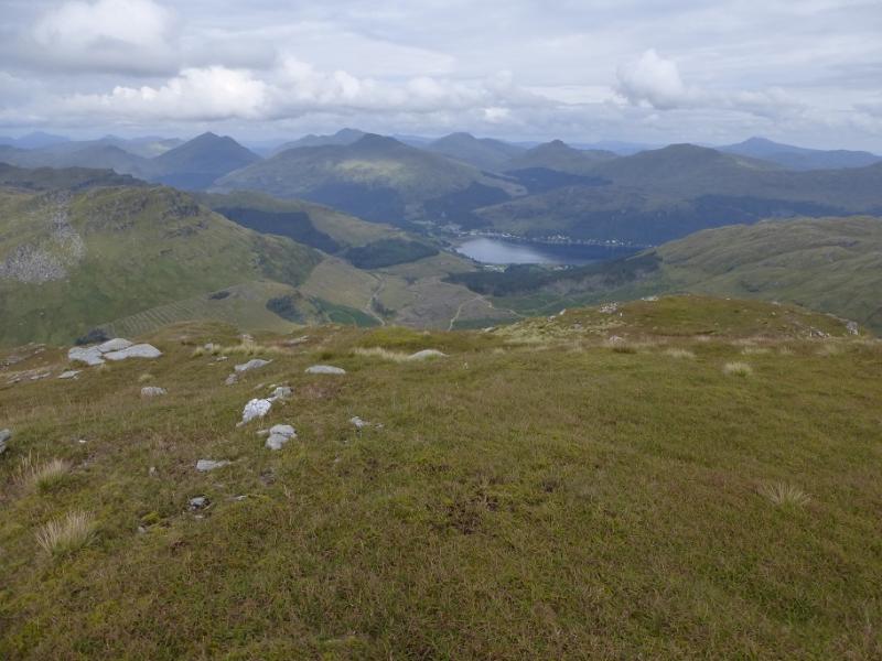
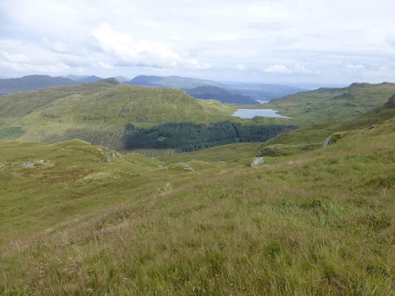
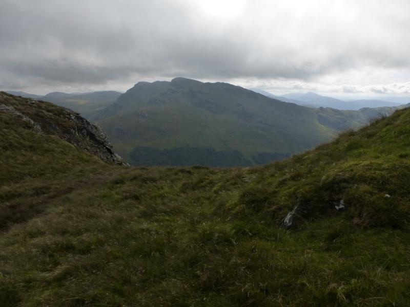
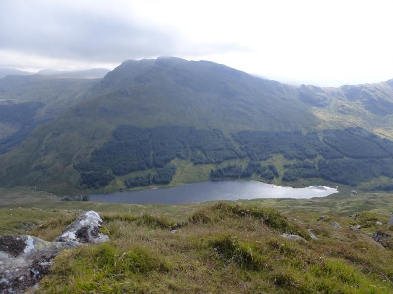
Beinn Bheula is an attractive but very rocky and rugged mountain which should not be underestimated especially under snow when the ascent up its north east ridge can be more than “interesting” especially to the inexperienced. In Summer conditions, the ascent is much more straightforward but still needs care and good route finding skills. A good track takes one to the foot of the mountain after which the very boggy Cowal Way path takes one a little higher before a rough ascent up the north east ridge. There are excellent views to Beinn Lochain (not to be confused with Beinn an Lochain!), Ben Donich, The Brack, Cnoc Coinnich, Loch Goil and further afield to the Arrochar Alps. There are now more tracks on the ground than are shown on the map so be careful especially from the start. The nature of the ground would make this route very challenging in mist.
Route
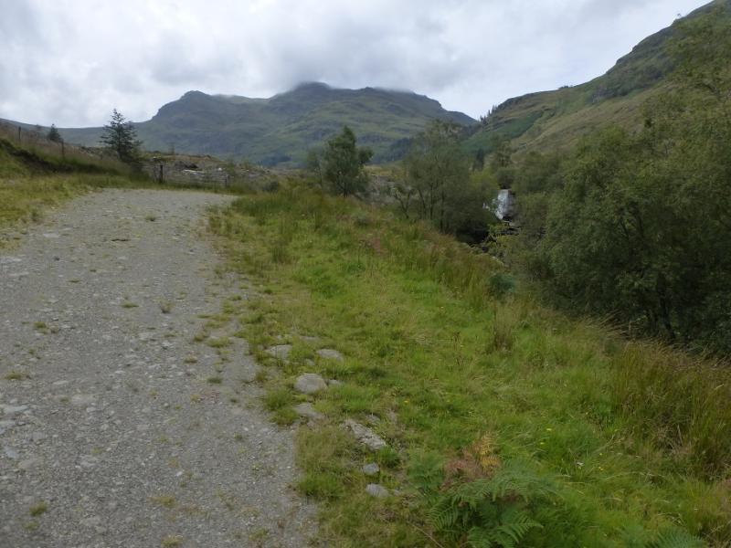
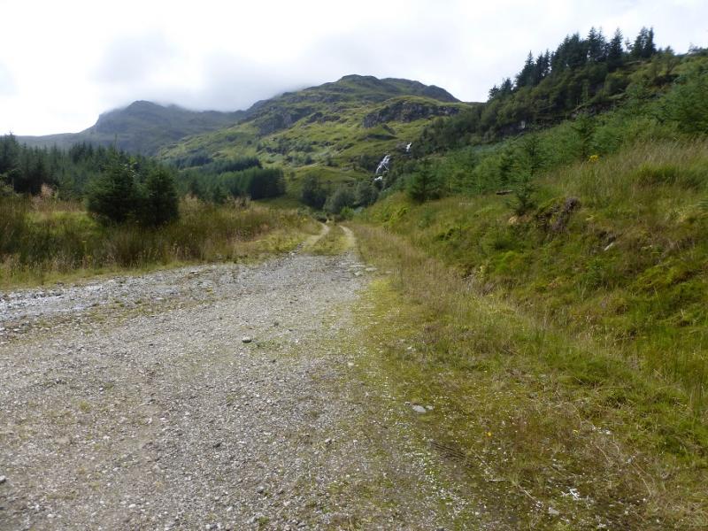
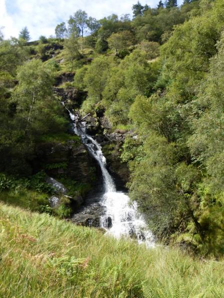
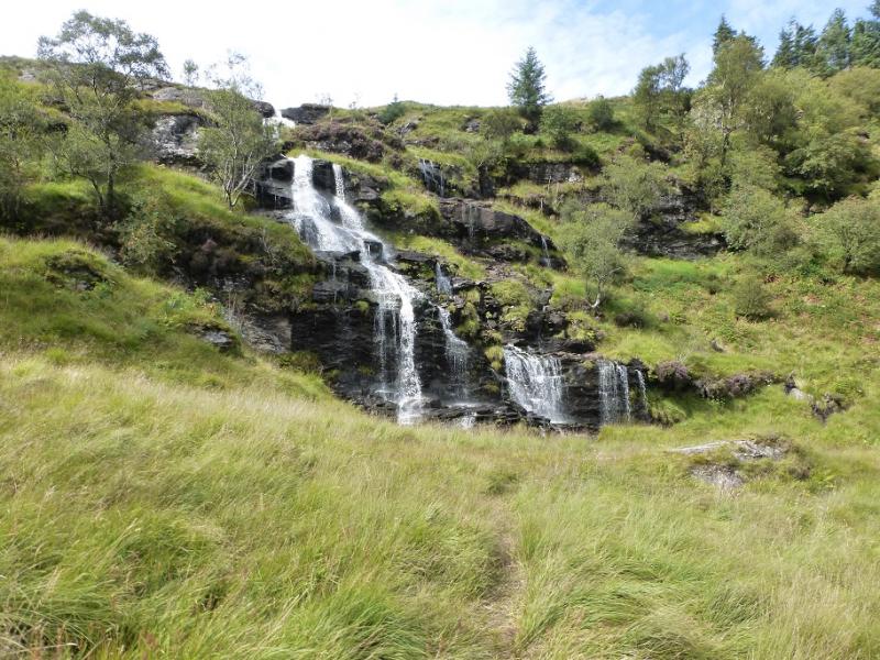
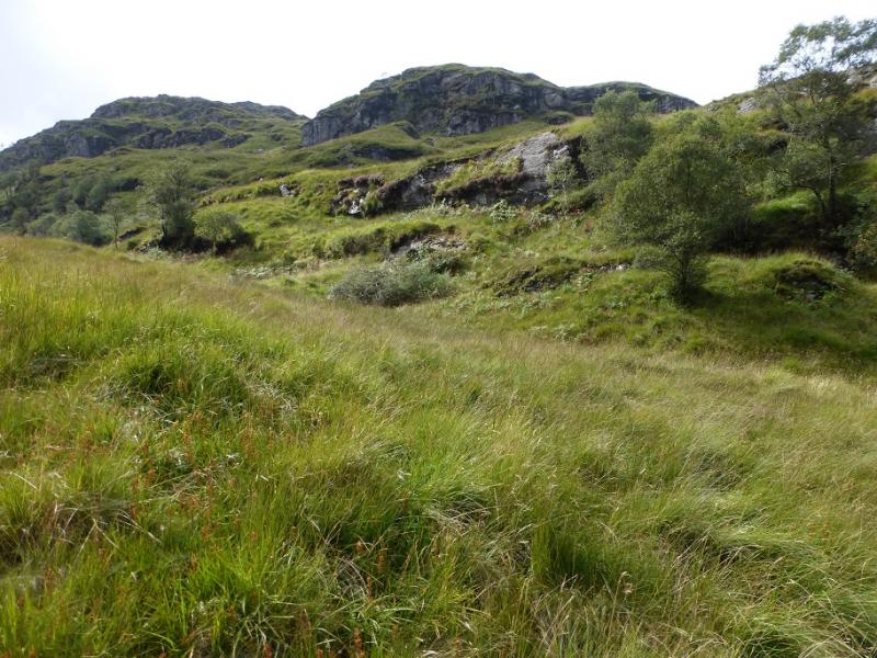
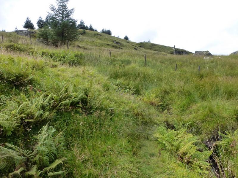
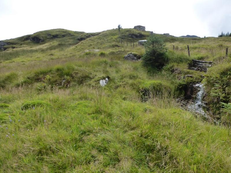
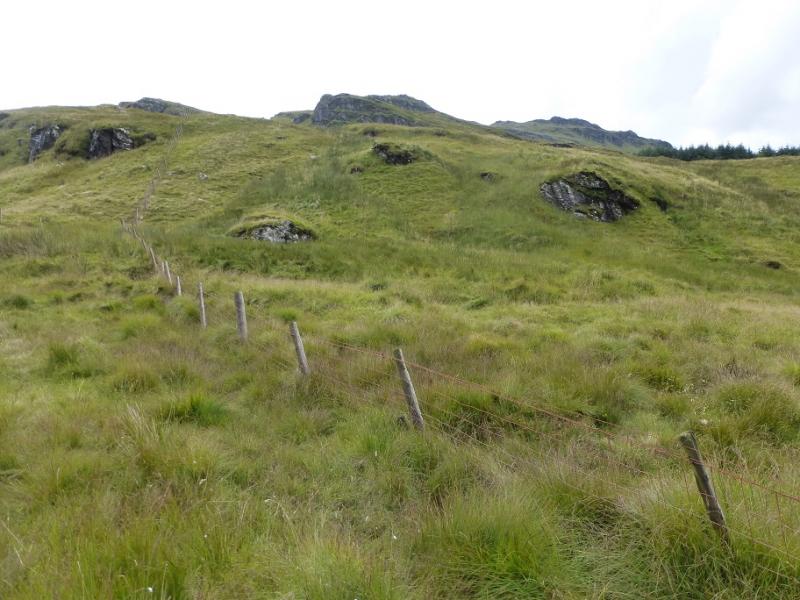
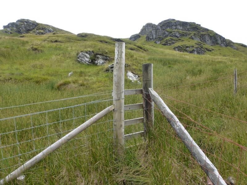
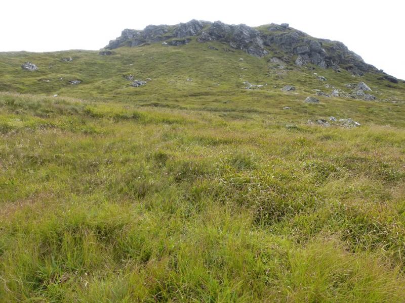
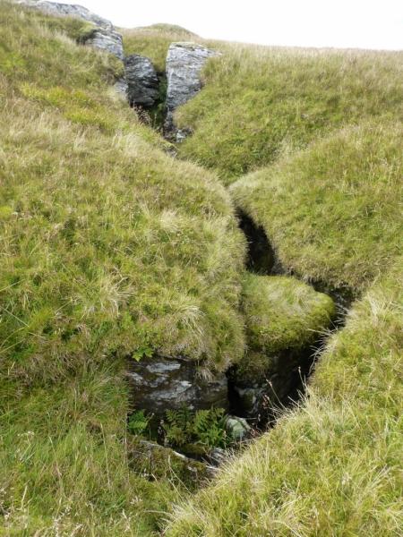
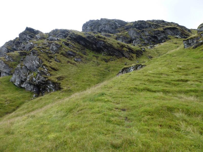
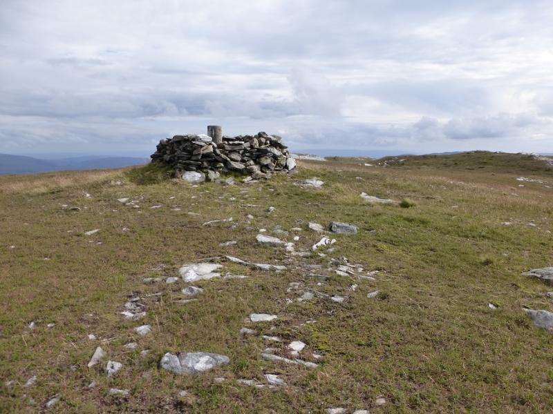
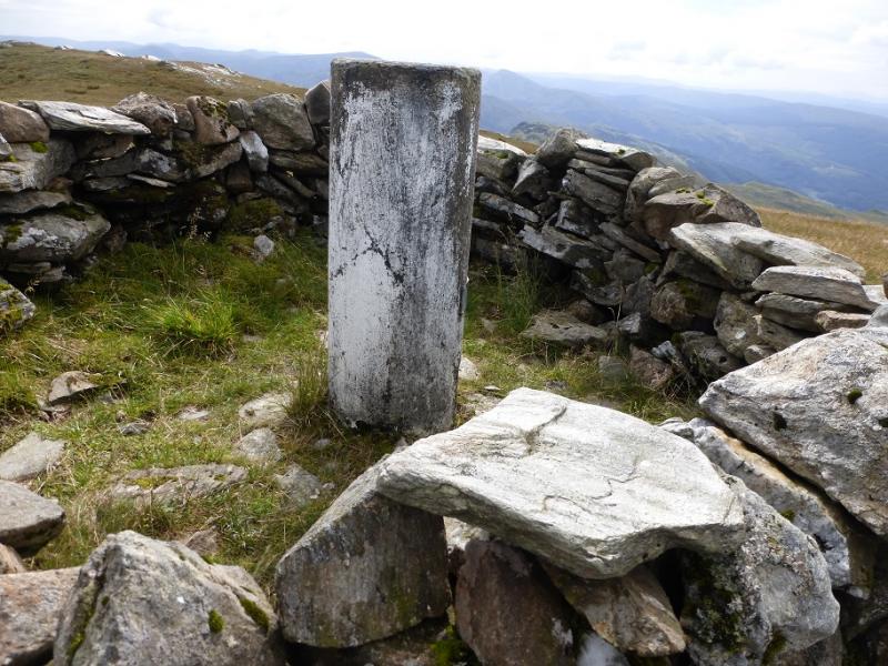
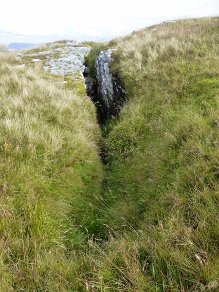
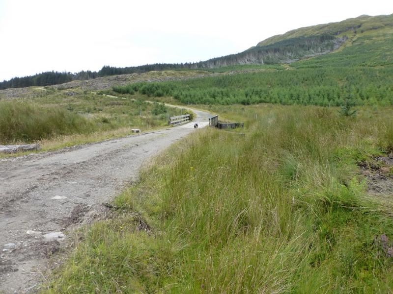
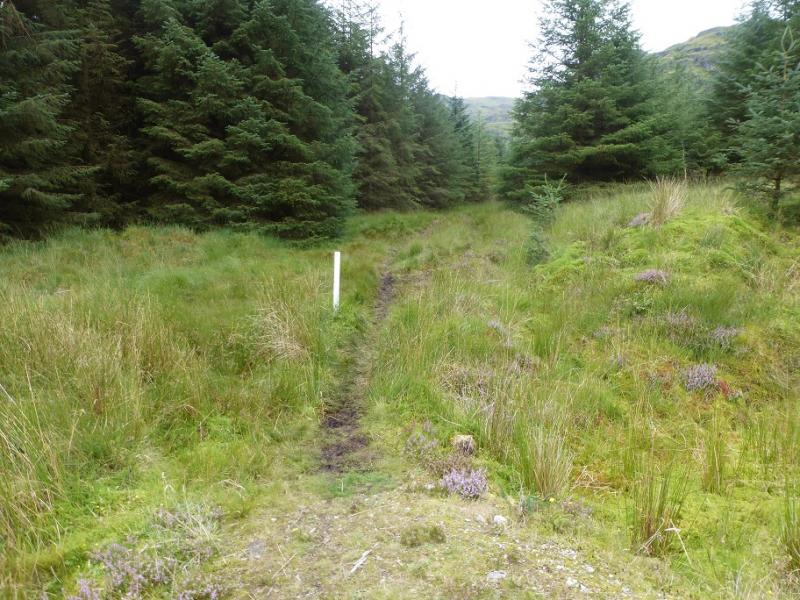
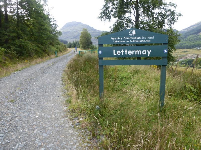
(1) Do not go through the metal gate on the tarmac track. Instead retrace about 50 m and turn right then follow this track up then right to reach the Lettermay Forest sign. Follow the track, roughly W, passing a track on the left. Continue until a right fork descends down towards the Lettermay Burn which is crossed by a bridge. Soon after, leave the track and turn left up a boggy firebreak (Cowal Way). This emerges from the forest higher up then ascends to the left of a prominent waterfall with a lower and upper section. The path can be very boggy in places. Once the path levels out, continue until a fence is reached with some trees beyond. Follow the fence up, crossing another fence on the way, and reach the end of the fence at a corner which can be awkward to climb over. From here, the going is much rougher but pick a way up. There are some prominent crags which are easily avoided. Try and stay on the crest where possible. Higher up, a faint path appears which makes the going a little easier. The path drifts left below the fearsome crags before picking its way up a grassy rib on the right of a steep gully. Higher up, the path is less distinct so pick a way up the gully and continue to the N ridge of Beinn Bheula. Turn left, S, and follow the now easy crest to the trig point inside a shelter cairn which is the summit of Beinn Bheula.
(2) It is probably best to retrace the outward route as the forest below Lochain nan Cnaimh is very tiresome to get through.
Notes
(a) This walk took place on 27th August, 2016, and about 15 years previously from Invernoaden at the top of Loch Eck.
Photos - Hover over photo for caption. Click on to enlarge. Click on again to reduce.