Get Lost Mountaineering
You are here: Scotland » 01 South of Oban to Stirling and Fife » Dunoon, Lock Eck and Lochgoilhead
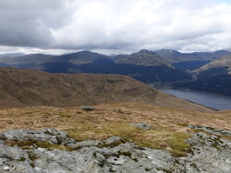
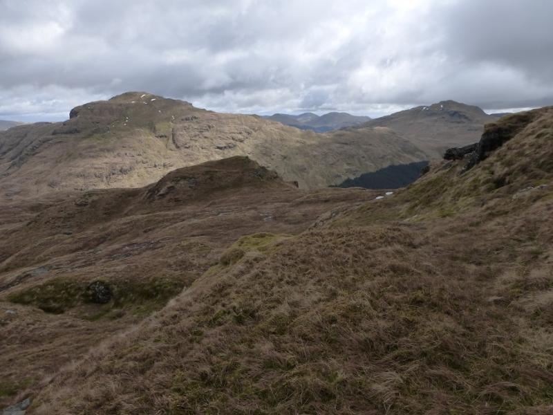
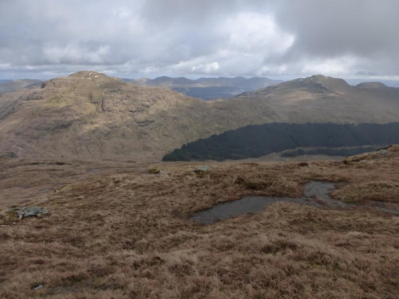
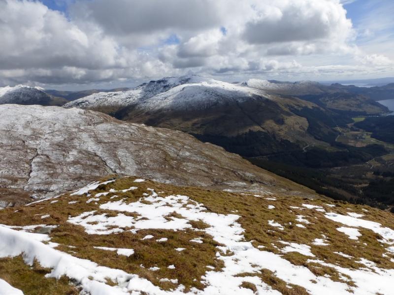
Cnoc Coinnich from Lochgoilhead
Cnoc Coinnich from Lochgoilhead
Start/Finish
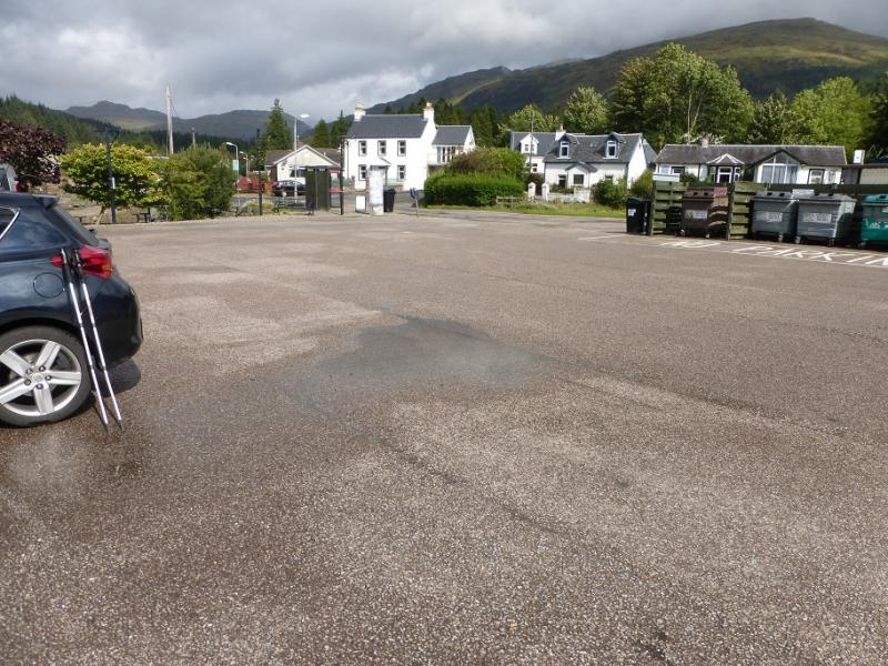
Lochgoilhead.From the Rest and Be Thankful, on the A83 from Arrochar to Inverary, take the narrow B828 then B839 for Lochgoilhead. There is a large and free car park in the village which looks out across Loch Goil. Note that the Rest and Be Thankful is a pass which is prone to landslips so access may not be possible in such circumstances.
Distance/Time
10 km. About 4 – 5 hours.
Peaks
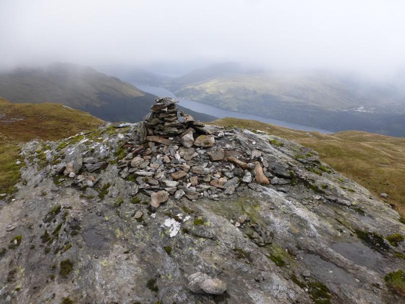
Cnoc Coinnich, 763 m, NN 233 007. OS Sheet 56: Loch Lomond & Inverary.
Introduction
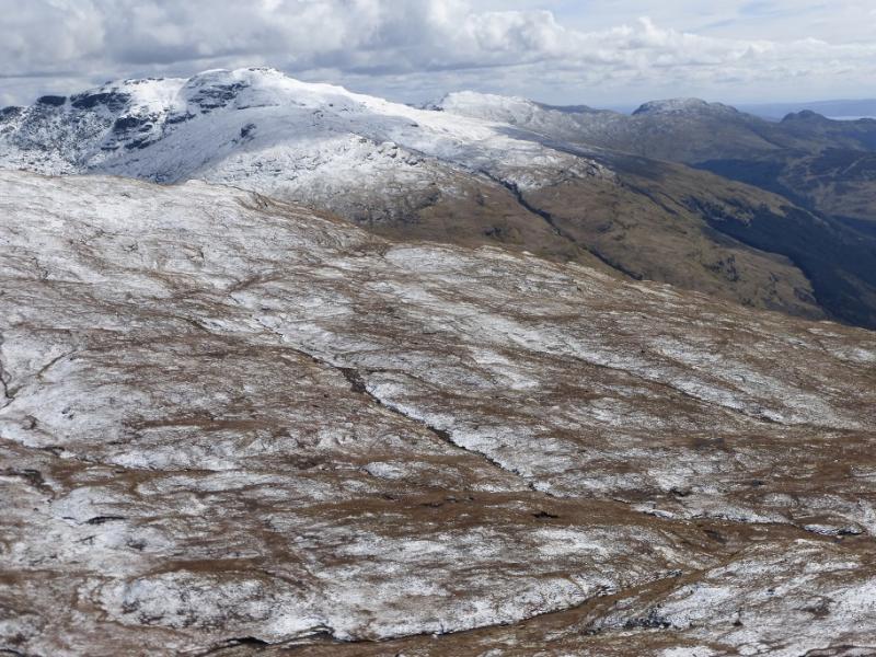
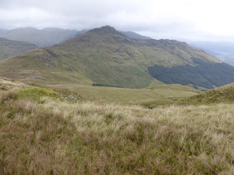
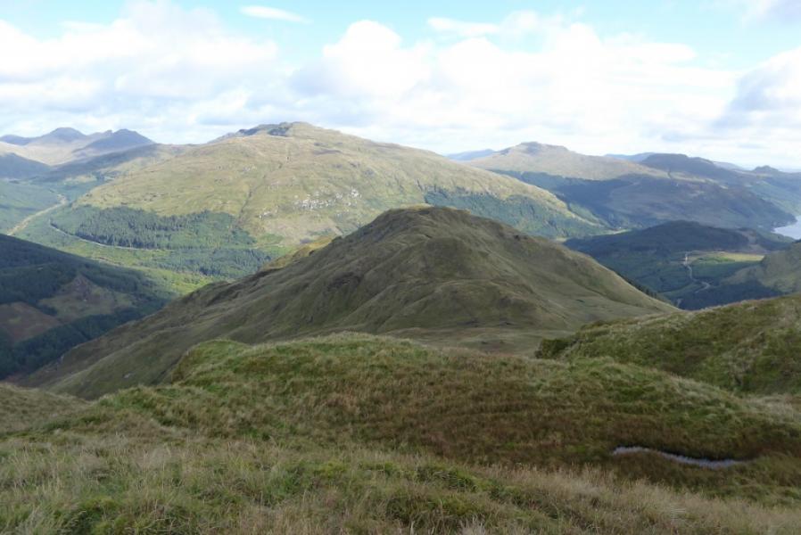
Following a recent survey, Cnoc Coinnich has had its height slightly increased and it now has enough height to be a Corbett rather than the Graham it previously was. It is a straightforward though rough and steep ascent as the well signed, sometimes boggy, Cowal Way takes one to the foot of its north ridge which is moderately steep but mainly grassy.There are excellent views across Loch Goil to Beinn Bheula, Beinn Lochain (not to be confused with Beinn an Lochain!) and Stob na Boine Druim-fhinn Ben Donich, The Brack, Loch Long, the Luss Hills and further afield to Ben Lomond and the Clyde.
Route
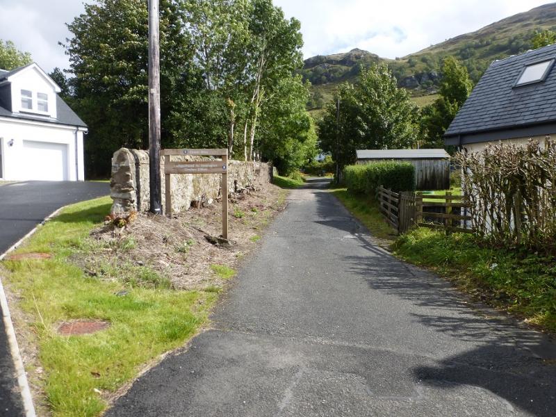
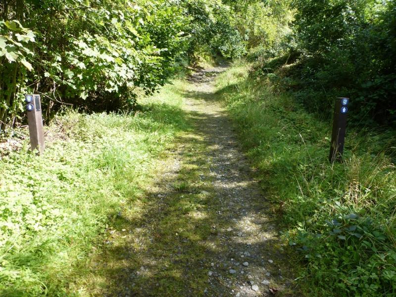
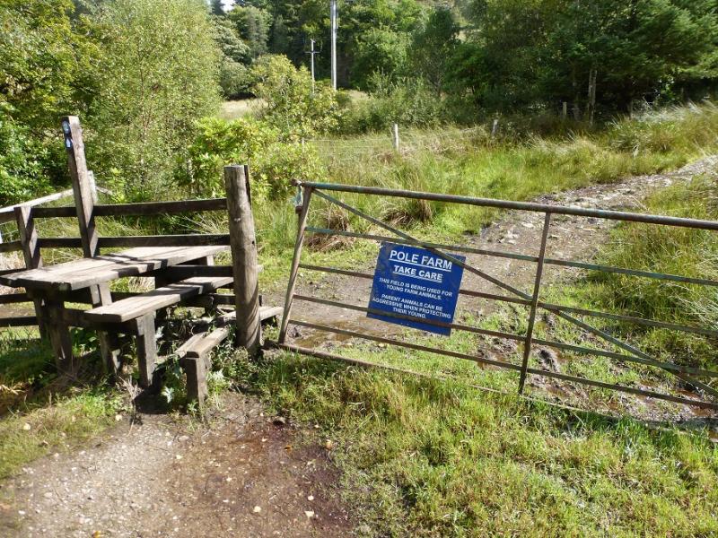
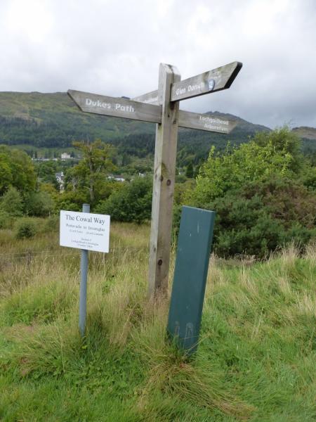
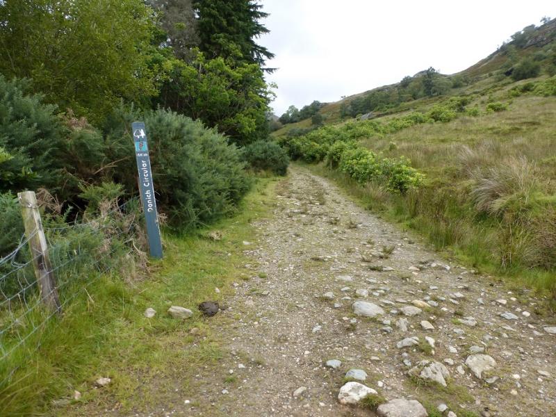
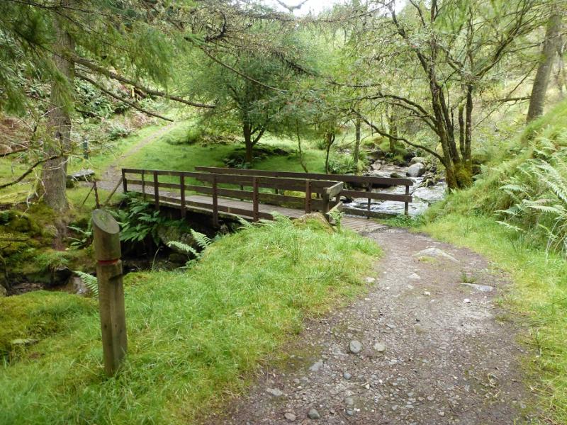
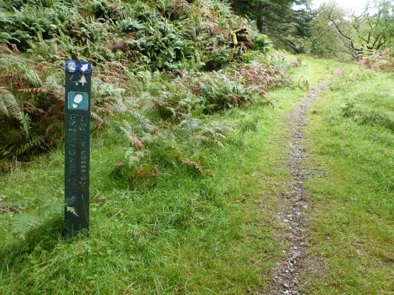
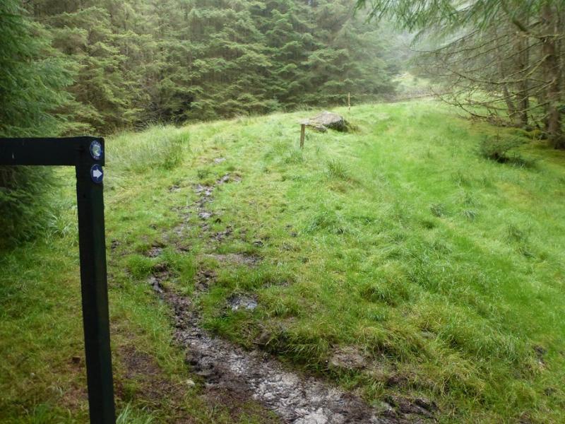
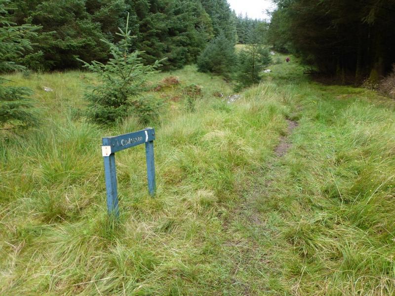
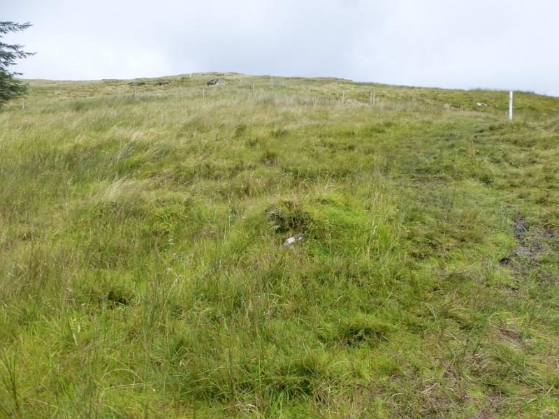
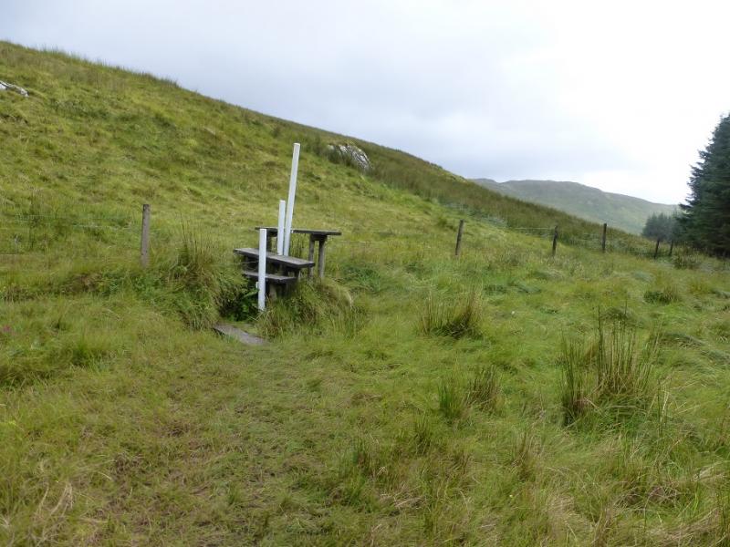
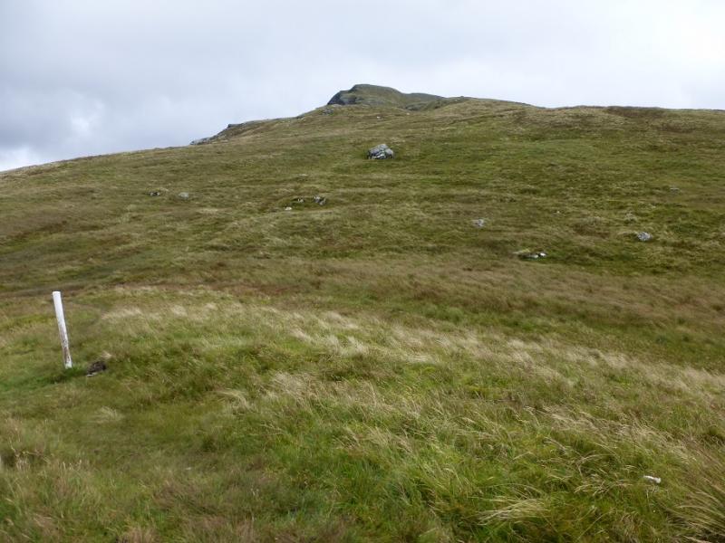
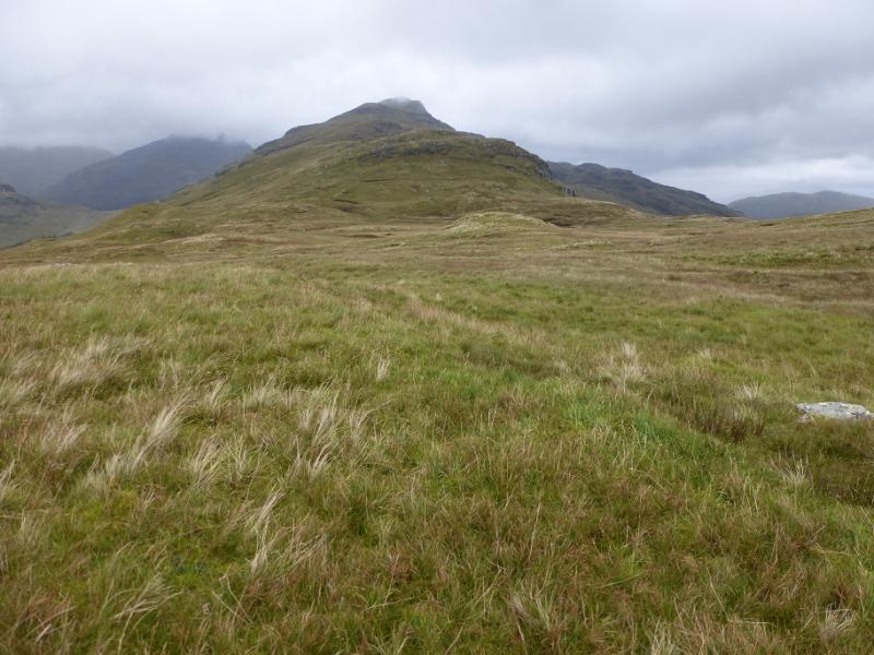
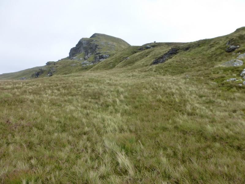
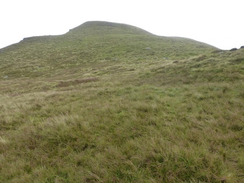
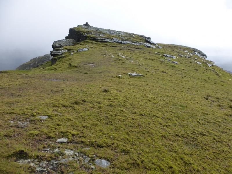
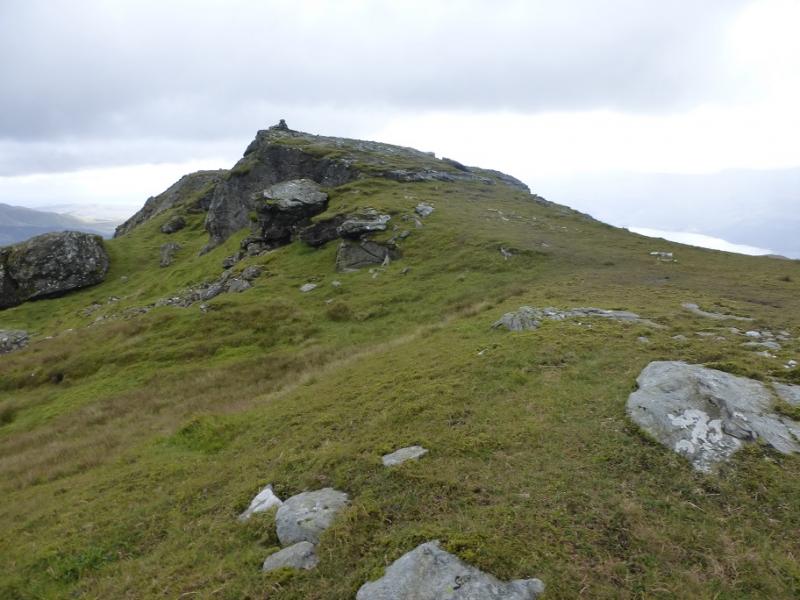
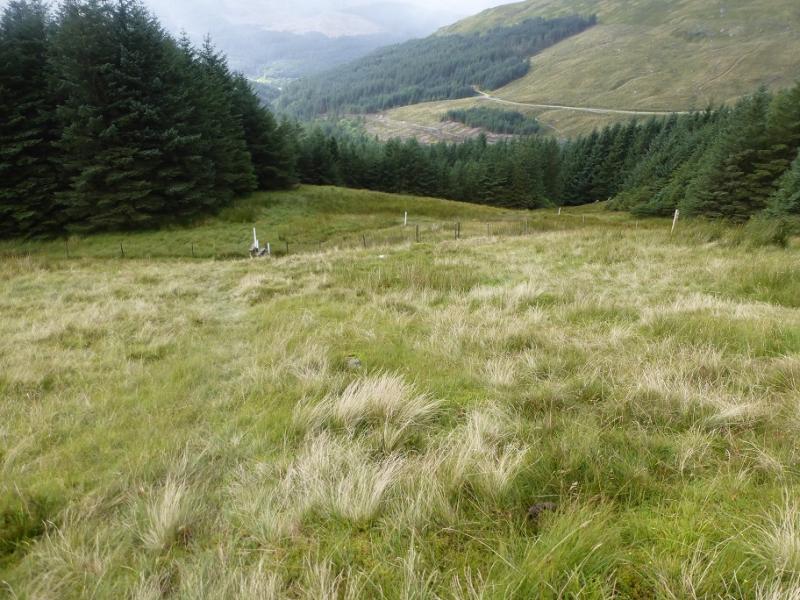
(1) Almost opposite the car park, go up the lane following the sign for the toilets ( small white building further up) then continue up and follow signs for the Cowal Way which is well signed. Soon reach a long track which goes beside then into the forest to bridge a footbridge. Cross and go right immediately and follow the Cowal Way up, steeply at first. Higher up, the path goes right and climbs up a long and often boggy firebreak. Cross the stile at the top to reach the open hillside then follow the white posts, still on the Cowal Way. These head towards the broad ridge between The Brack and Cnoc Coinnich. At their highest point, head off right, roughly S, and climb the N ridge of Cnoc Coinnich. Soon a prominent craggy mount comes into view which can easily be passed on its right, W. Continue up. There are a few false tops but a medium cairn above a craggy drop to its left, E, is the summit of Cnoc Coinnich, 763 m. If temporay shelter is need, it is easy to drop down a few metres on the E side amongst the rocks.
(2) Retrace the route of ascent but be careful descending the firebreak which is often very slippery!
Notes
(a) This walk took place on 31st August, 2016, and about 15 years previously by a similar route which also included The Brack.
Photos - Hover over photo for caption. Click on to enlarge. Click on again to reduce.