Get Lost Mountaineering
You are here: Scotland » 08 Cairngorms and Buchan » East of Lairig Ghru to Lairig Laoigh Hills
Sgor Mor from Linn of Dee
Sgor Mor from Linn of Dee
Start/Finish
National Trust Scotland car park over the bridge at Linn of Dee which is 6 miles west of Braemar village. Parking is free to NT and NTS members who display a parking sticker.
Distance/Time
14 km. About 6 - 7 hours.
Peaks
Sgor Mor, 813 m, NO 006 914. OS sheet 43.
Introduction
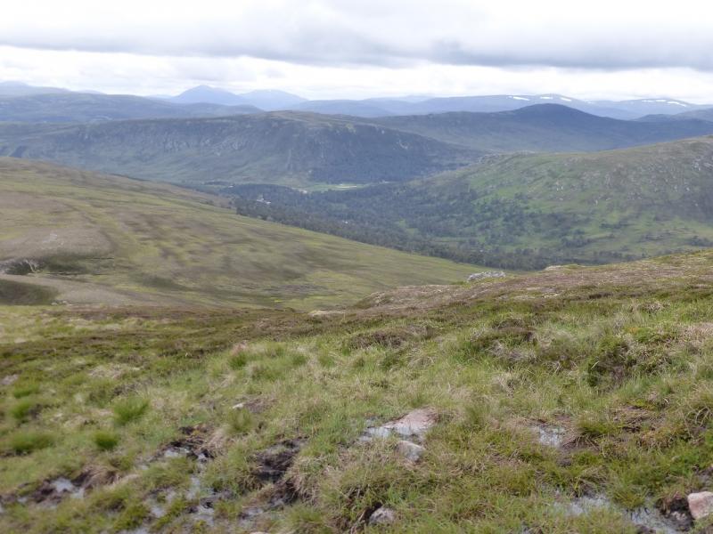
This is one of the most enjoyable walks in the Cairngorms and offers some of the finest views including Ben Macdui, Carn a' Mhaim, Derry Cairngorm, An Sgarsoch, Carn an Fhidhleir, The Angel's Peak, Cairn Toul, Devil's Point, Carn Cloich-mhuillin and Beinn Bhroatain plus many more. Those wishing to just “tick” the summit could cycle to White Bridge and then descend by the route of ascent which would save about 9 km of walking and about an hour.
Route
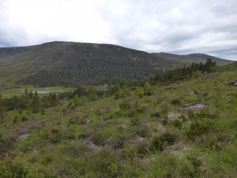
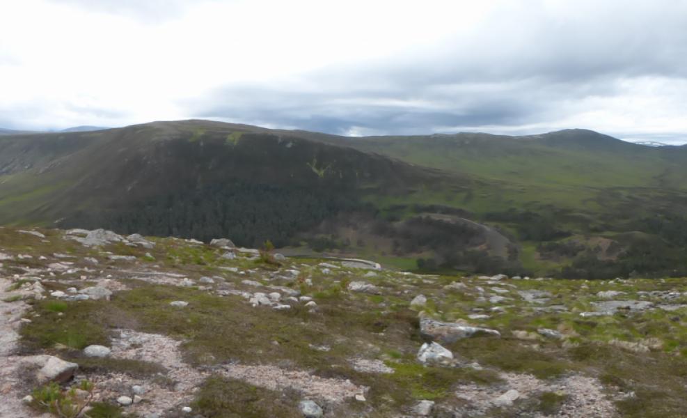
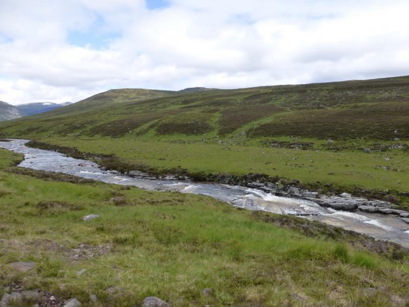
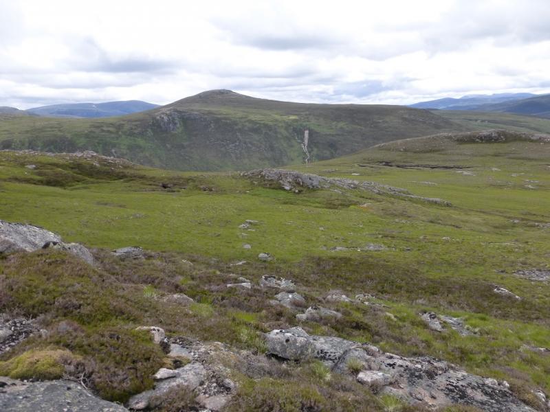
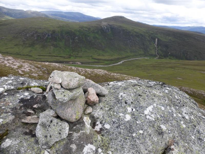
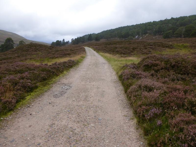
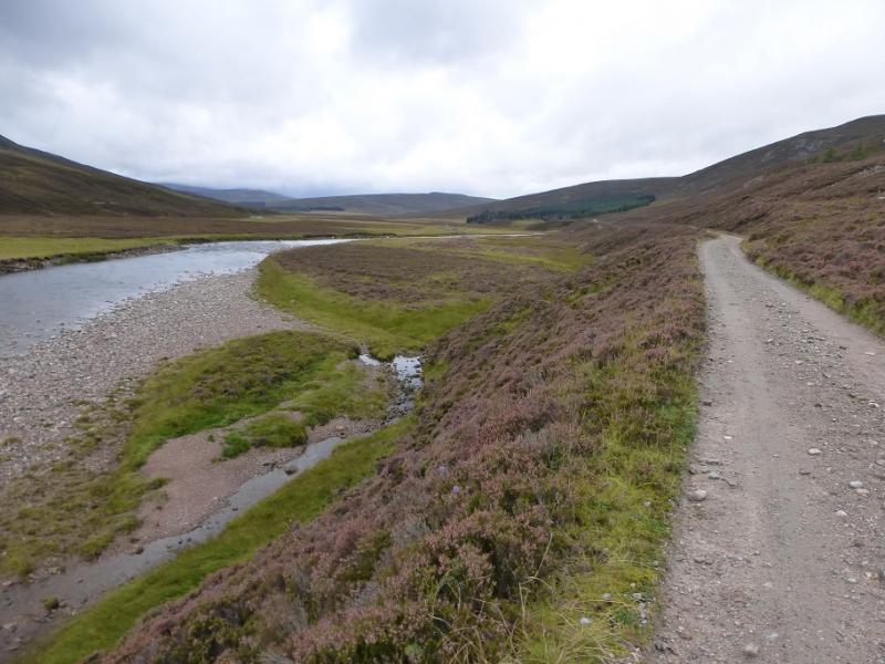
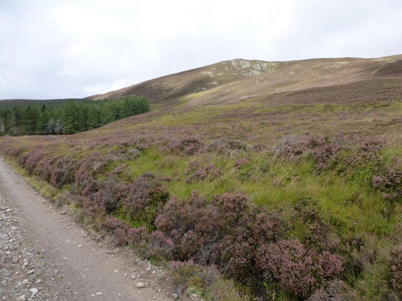
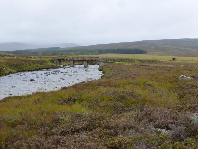
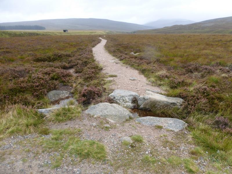
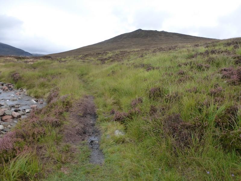
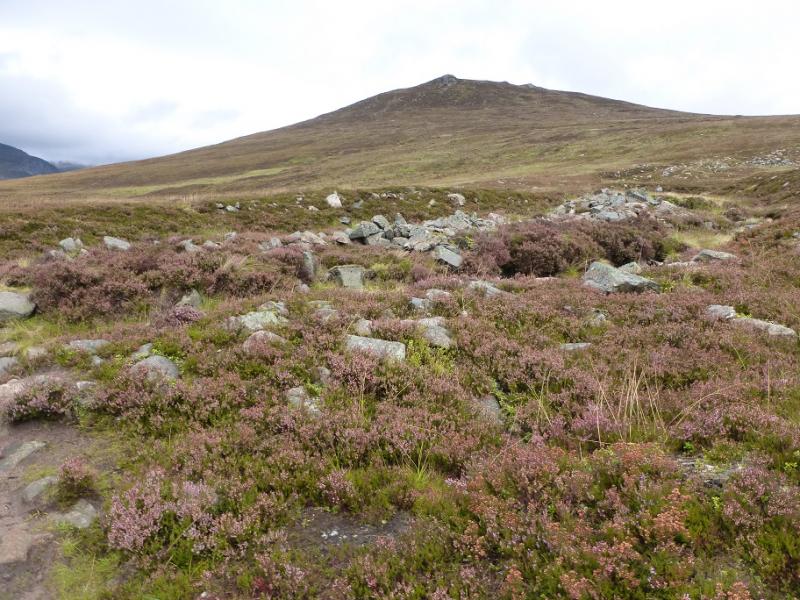
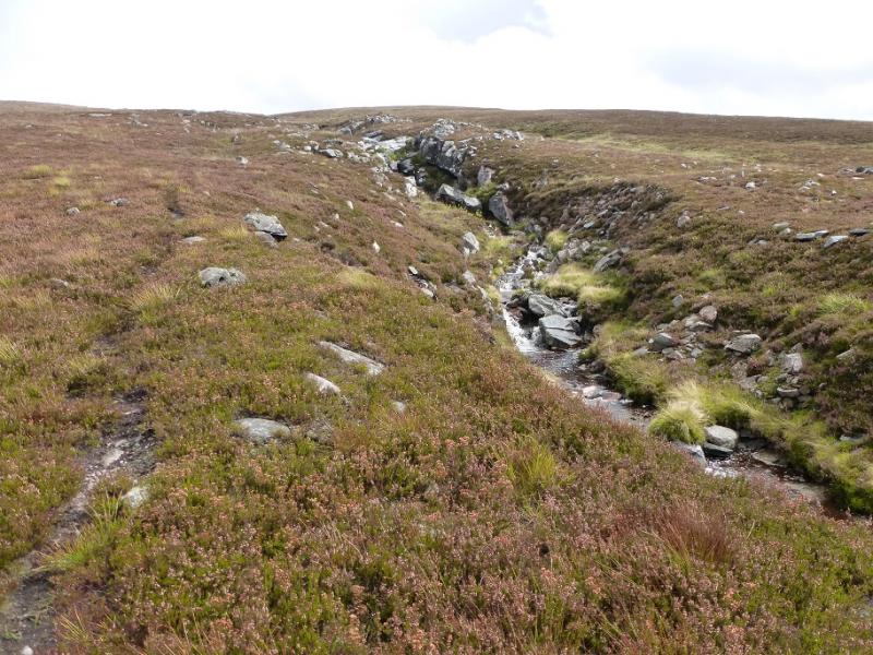
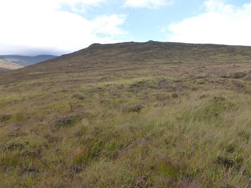
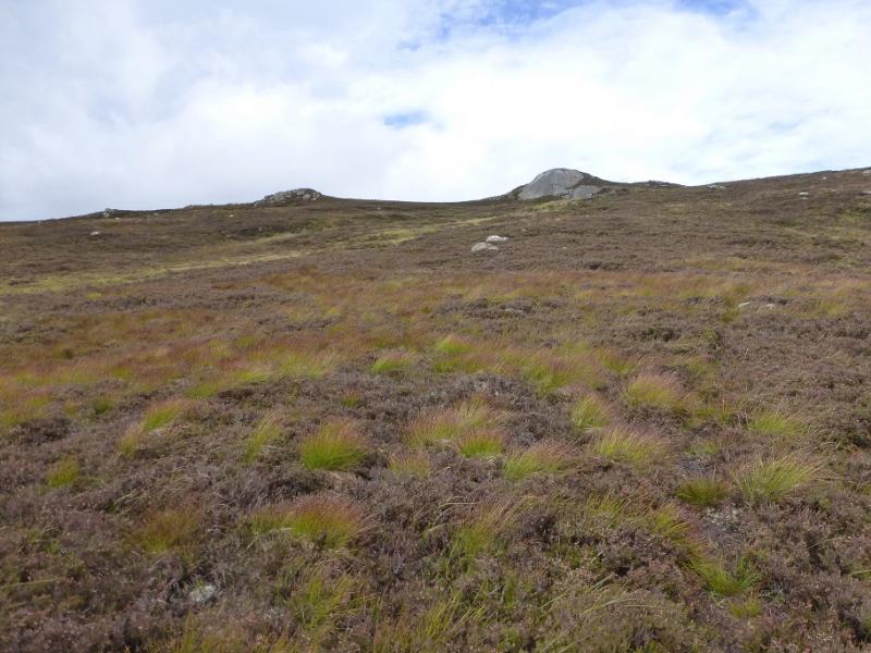
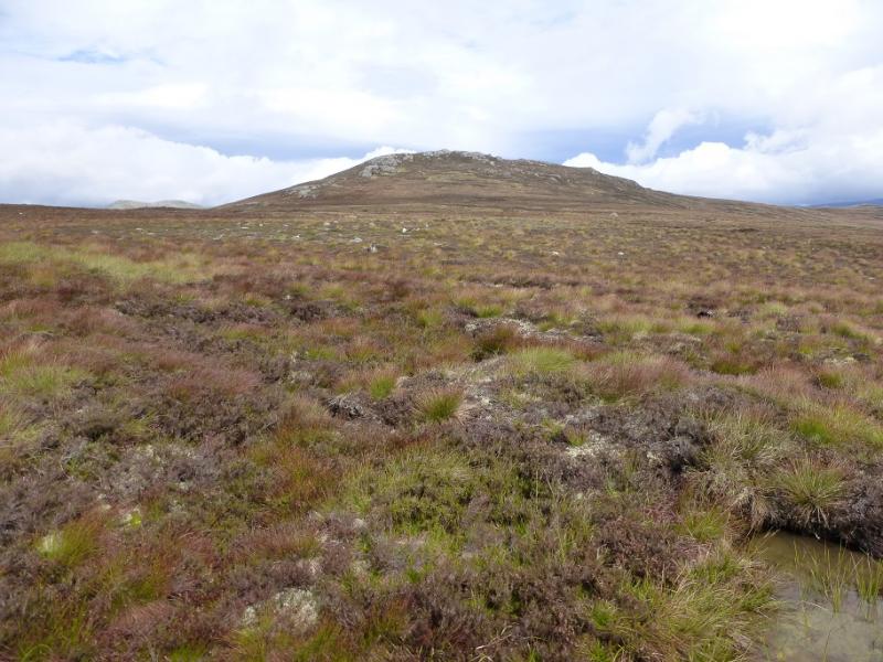
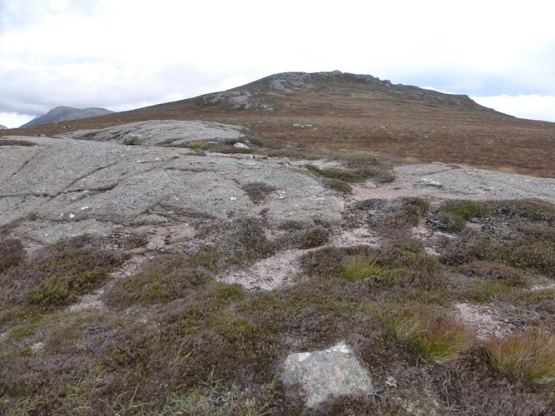
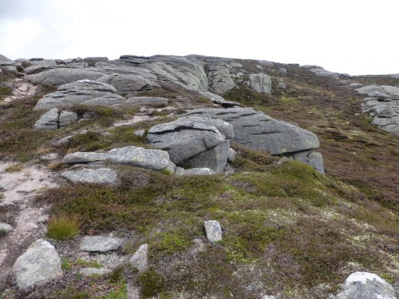
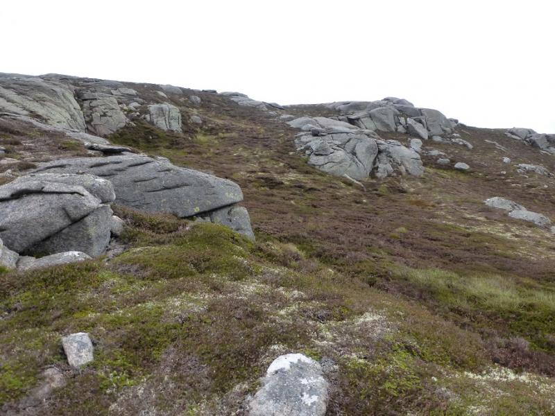
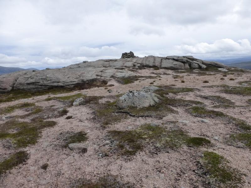
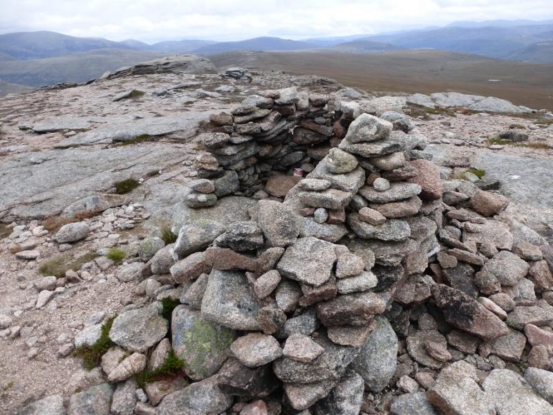
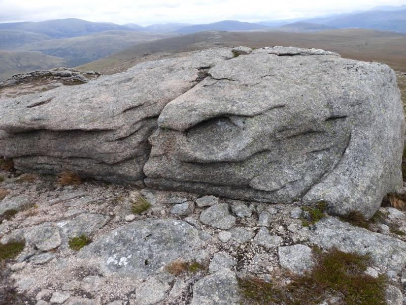
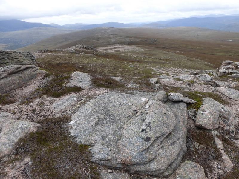
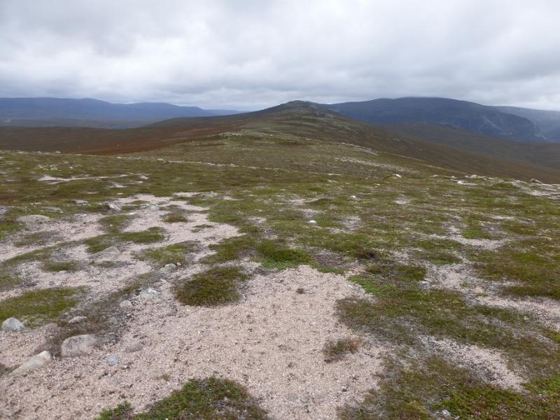
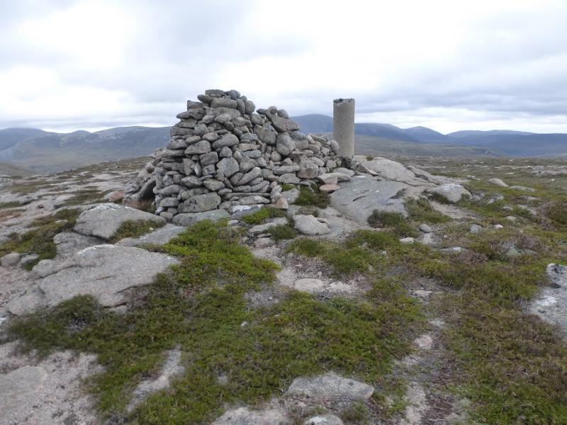
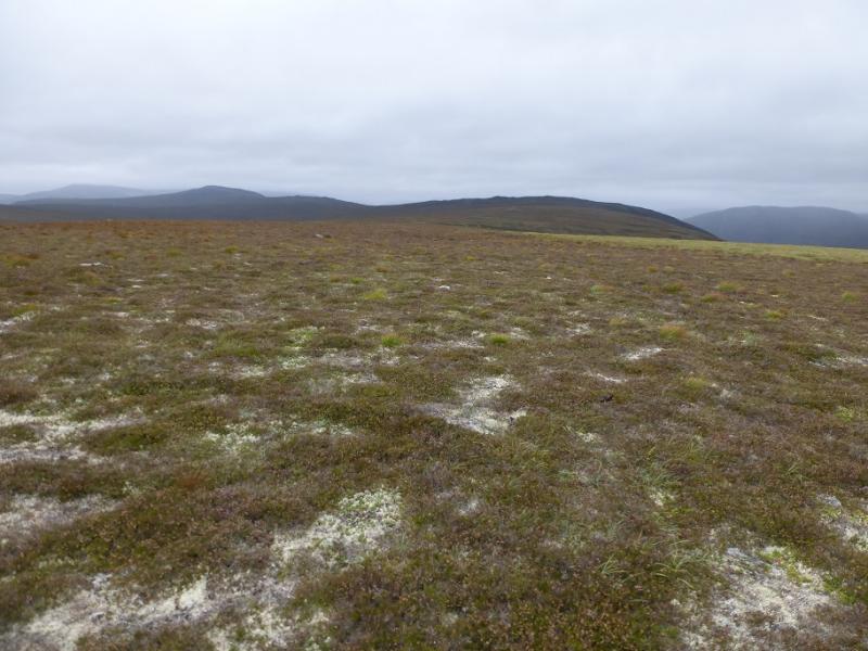
(1) From the car park, regain the road and take the track to White Bridge which follows the N side of the River Dee. White Bridge is about 4.5 km from the road. Do not cross the bridge but take the obvious path just before which goes off right on the N side of the River Dee. This is good to begin but get rougher and boggy further as it passes the Chest of Dee which is where the river has a few “steps” down. Continue on the path until about 1.7 km from White Bridge and a stream is reached. Cross the stream when the path does then leave the main path and follow a faint path up the N side of the stream. The path soon becomes too faint to follow so start picking a way, roughly NNE up a heathery slope, weaving around to find better ground, aiming for the obvious outcrop on the crest. The summit is out of sight and well to the right, NNE, of the prominent slabby outcrop. Gain the crest and follow it easily up through some rocky/slabby areas to reach a flatter section where a large cairn marks the summit of Sgor Mor, 813 m.
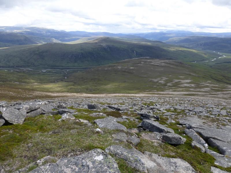
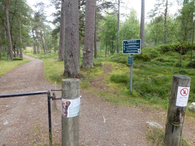
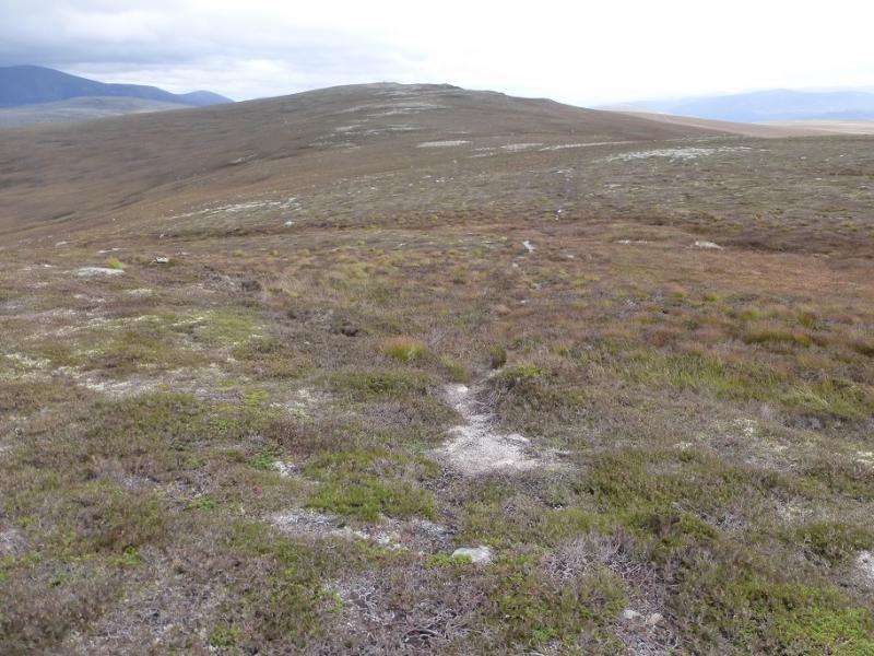
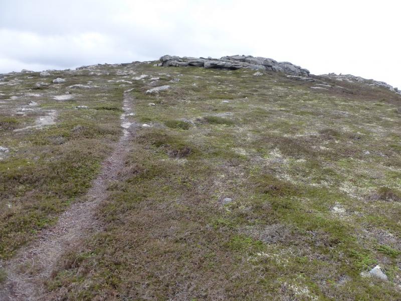
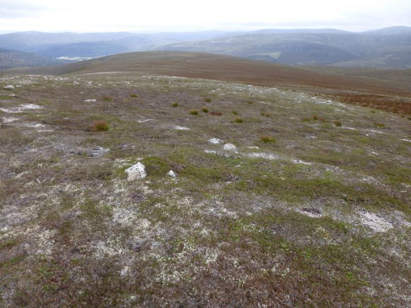
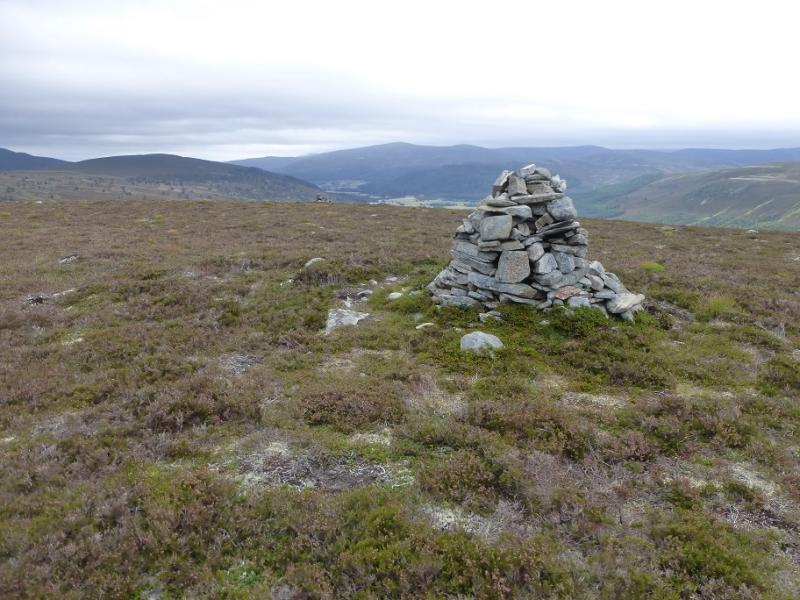
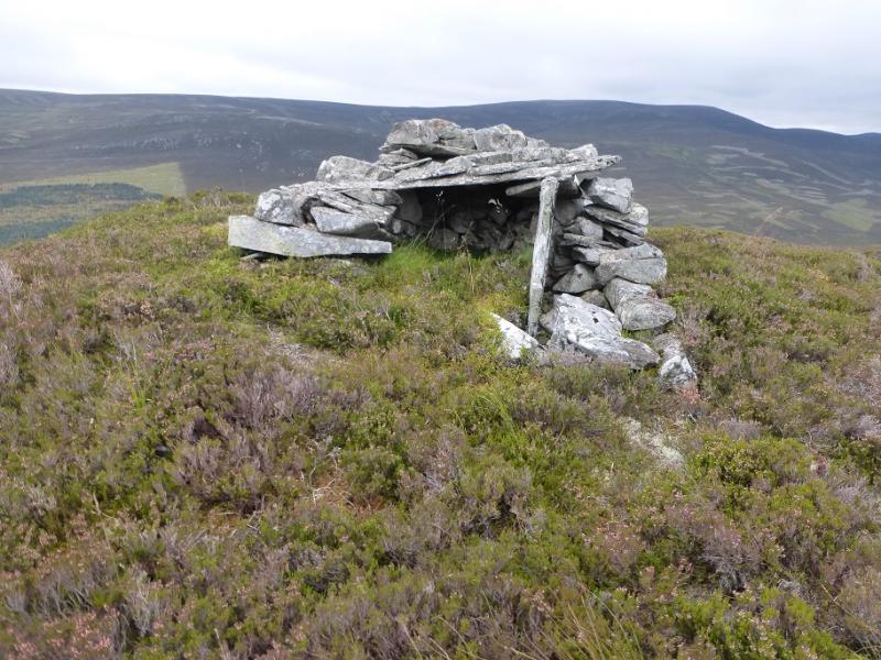
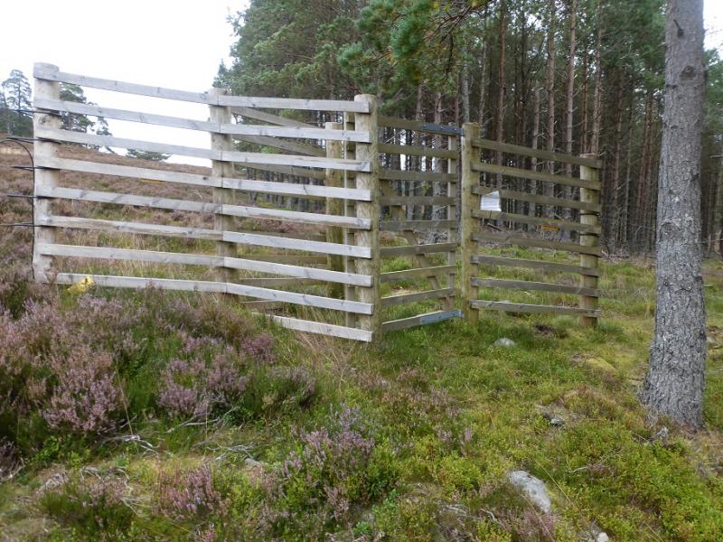
(2) If in a hurry or returning to a bike, retrace the route of ascent. Otherwise, head, almost due E, along the easy crest with quite a few rocky outcrops and a path to guide for most of the way plus some great views. After nearly 3 km, reach the equally large cairn and trig point of Sgor Dubh, 741 m. From the summit, descend SE, initially following a path which soon peters out. A new deer fence will appear on the right. Follow this around the source of a stream flowing down to Glen Lui. It is then worth leaving the fence and going to the cairn which marks the summit of Carn an 'ic Duibhe. There is another cairn nearby. A direct descent would take one through much deep heather so find a faint path, heading towards the fence but lower down, which will lead one to a small shelter, about large enough for a dog! From here, take the shortest/easiest route to rejoin the fence. Follow the fence until a grassy strip appears on its downhill side. Climb over the fence (no stile) and follow the grassy strip alongside the fence. This is a rough path but far better than the heather. Follow the fence down to a gate where it becomes an electric fence. Continue following it to the edge of a forest then cross the fence at another gate. Continue following the electric fence down until it joins a path. Turn right and follow this back to the car park.
Notes
(a) This walk took place on 9th September, 2016, and about 10 years earlier when the descent was made by the ascent route.
Photos - Hover over photo for caption. Click on to enlarge. Click on again to reduce.