Get Lost Mountaineering
You are here: Scotland » 08 Cairngorms and Buchan » Eastern Cairngorms to Lecht Road
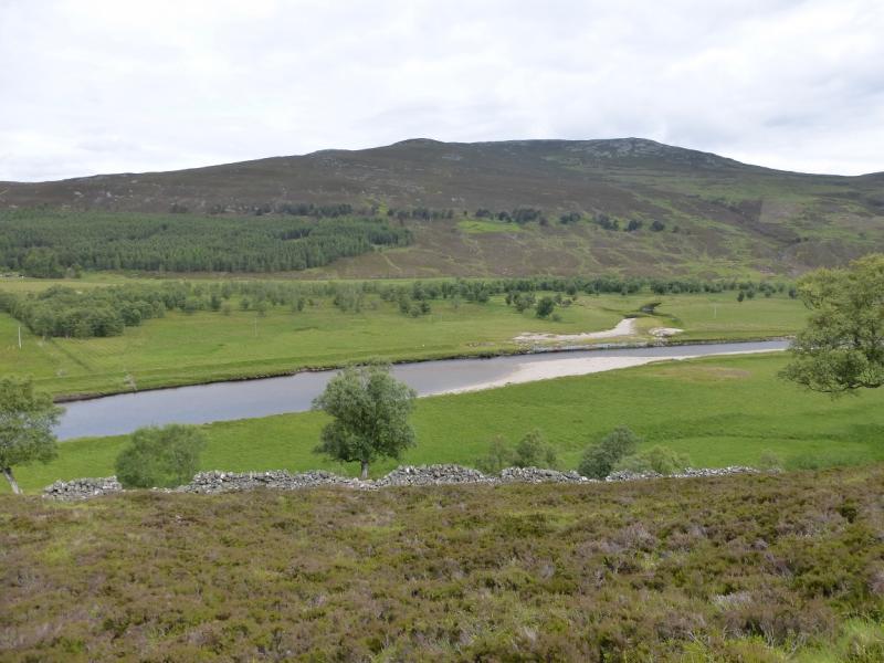
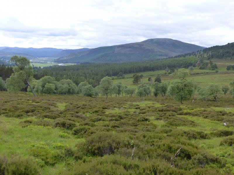
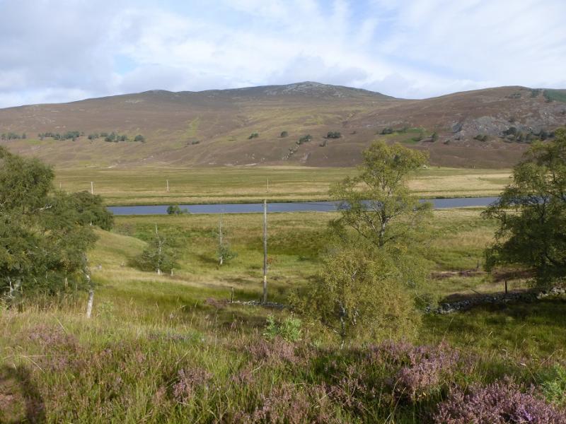
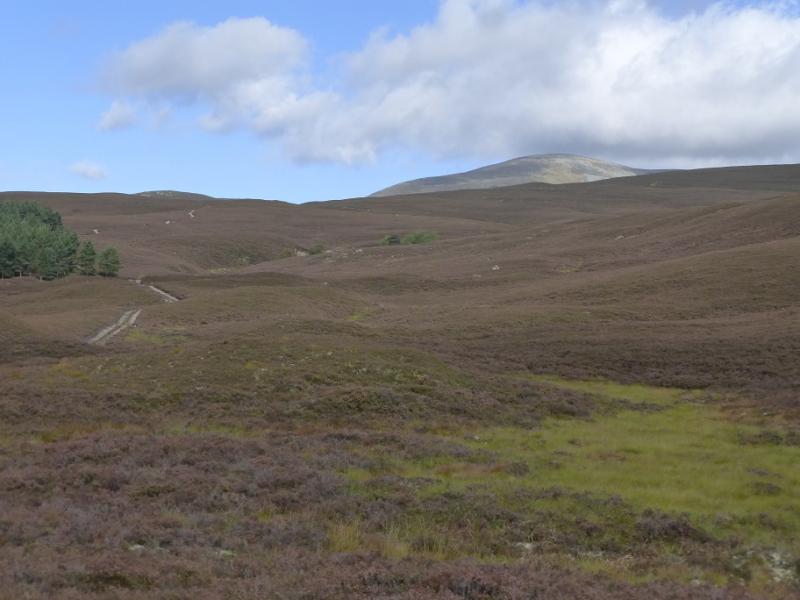
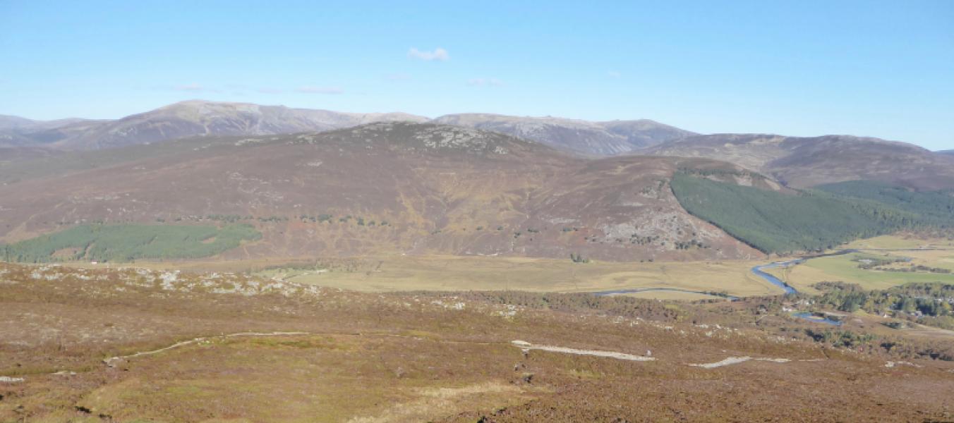
Carn na Drochaide from near Linn of Quoich
Carn na Drochaide from near Linn of Quoich
Start/Finish
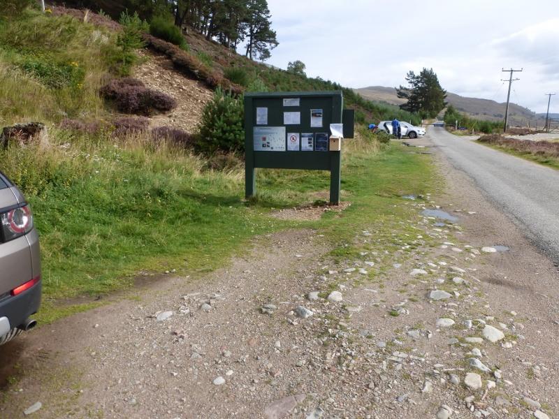
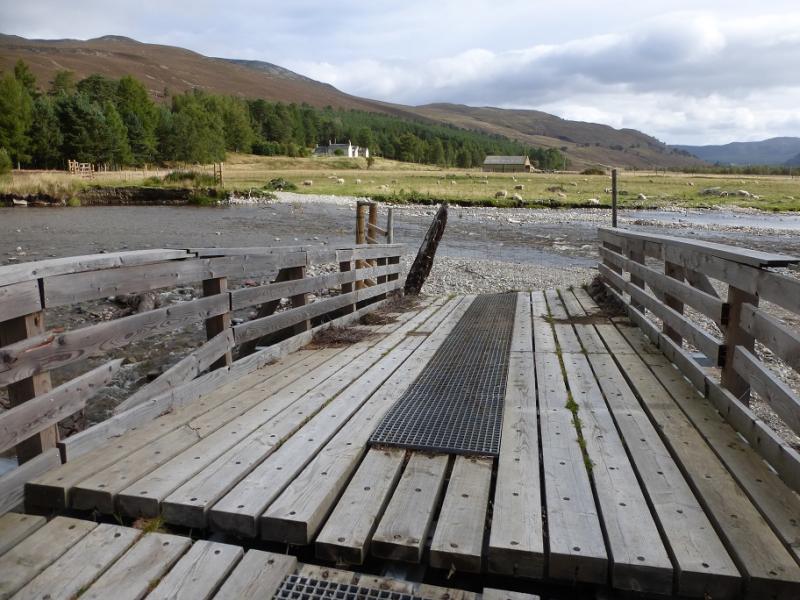
Rough car park at end of public road from Linn of Dee to Linn of Quoich. The Linn of Dee is 6 miles west of Braemar village. The Linn of Quoich is about 4 miles E of the Linn of Dee. Do not attempt to drive beyond the parking area as the bridge across Quoich Water was partially washed away in late 2015 and you could end up driving into the river! On a good weather day in the summer, the parking spaces will soon be filled up.
Distance/Time
12 km. About 5 hours.
Peaks
Carn na Drochaide, 818 m, NO 127 938. OS sheet 43.
Introduction
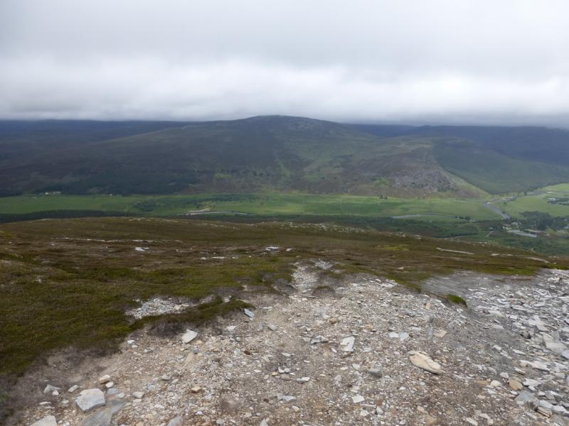
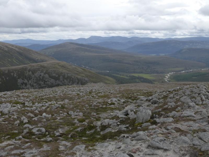
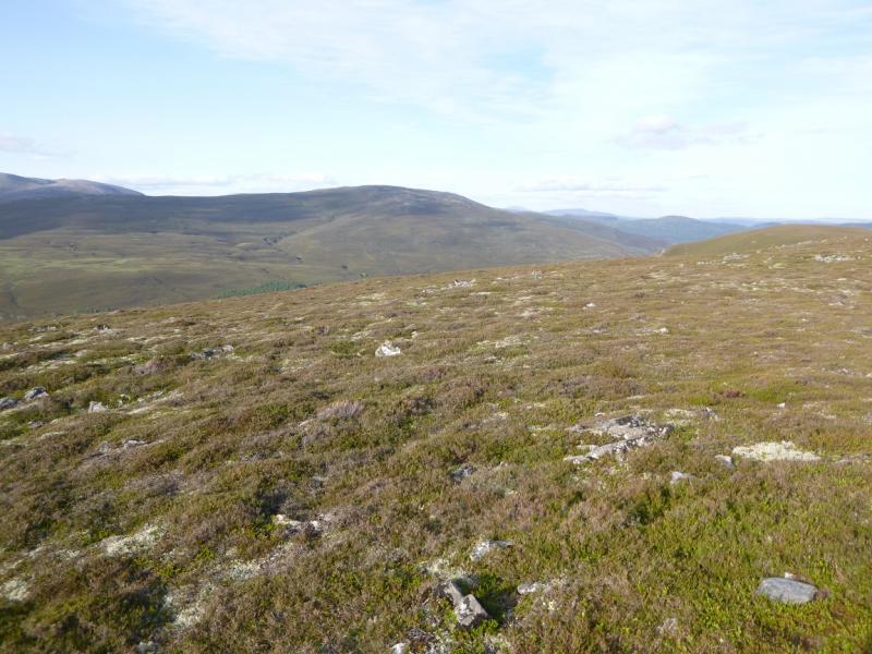
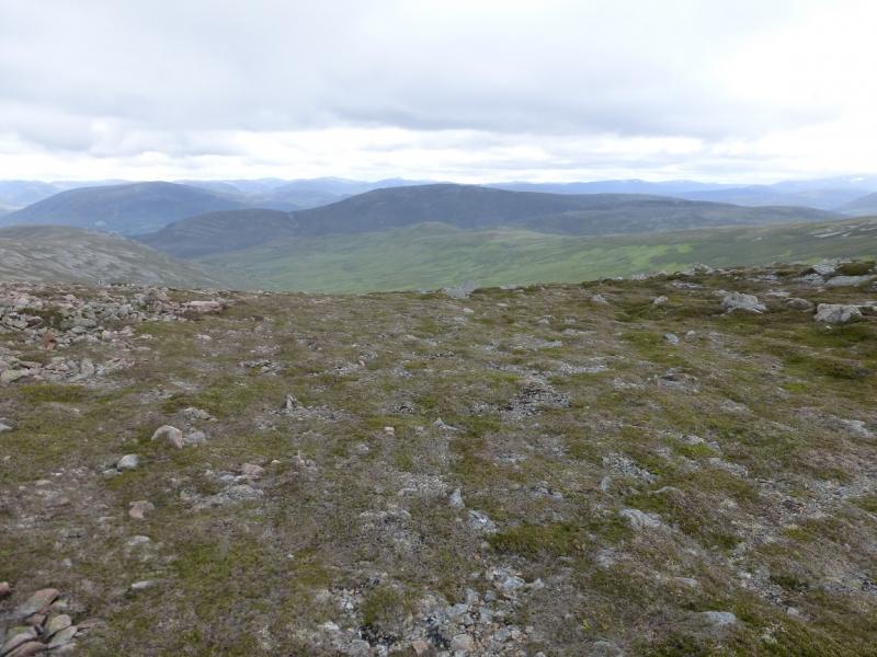
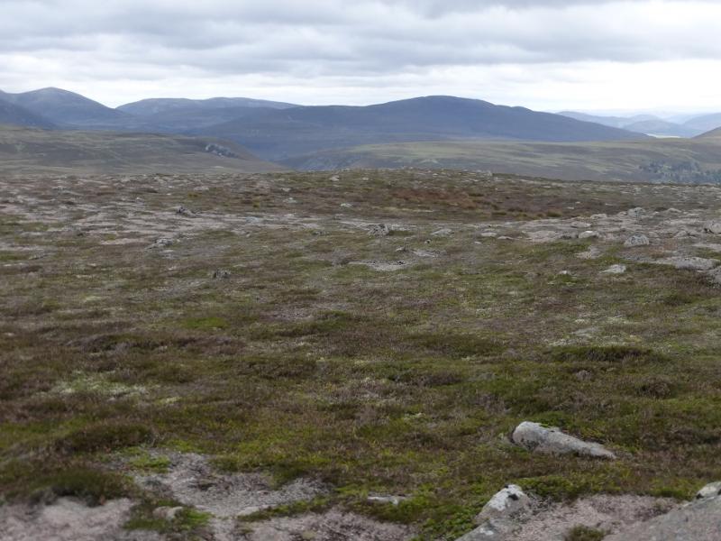
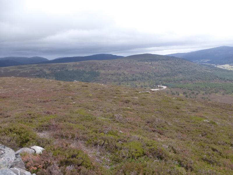
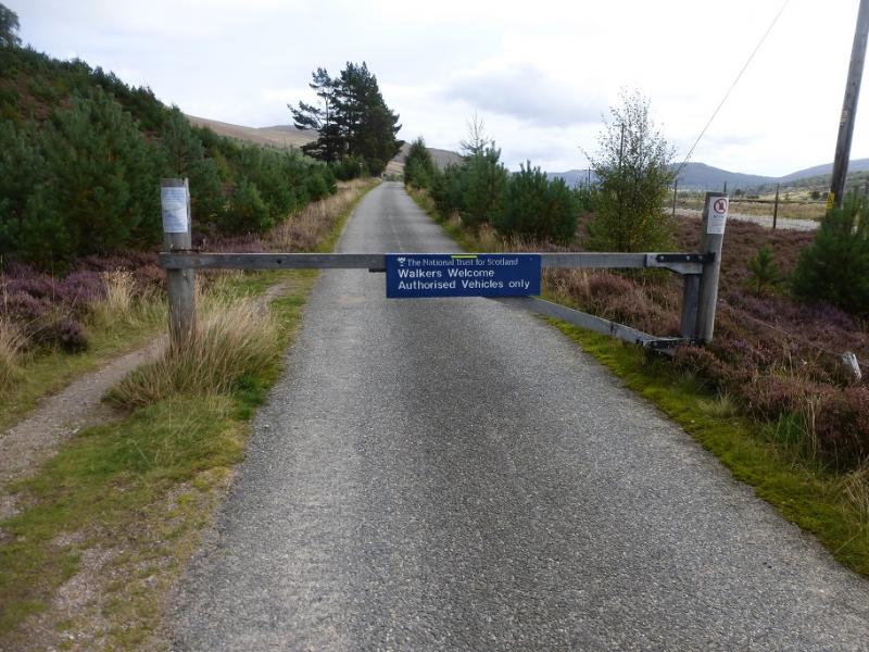
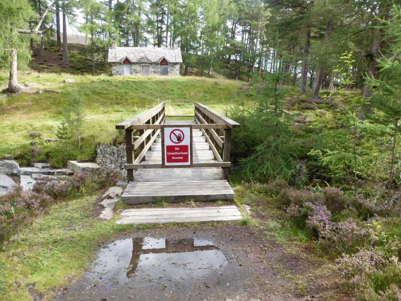
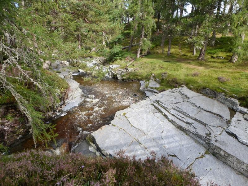
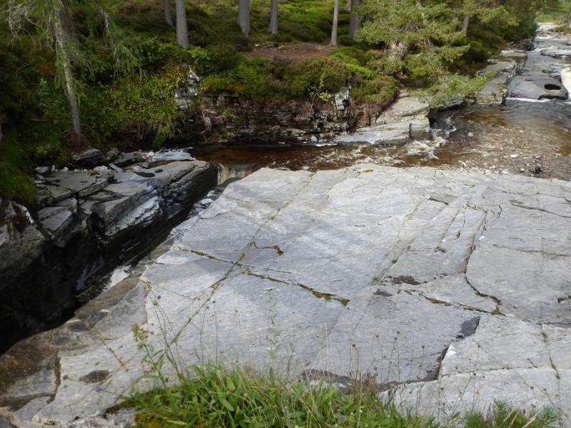
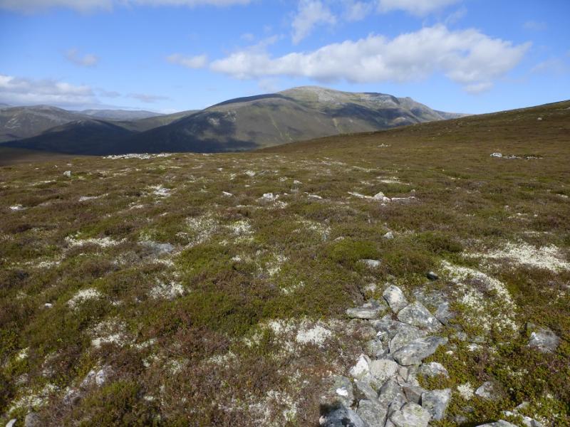
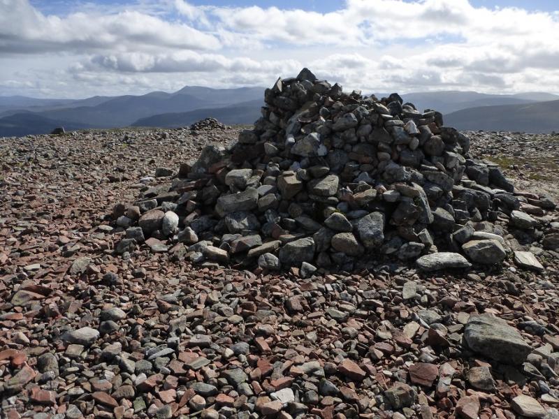
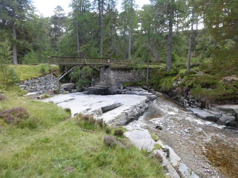
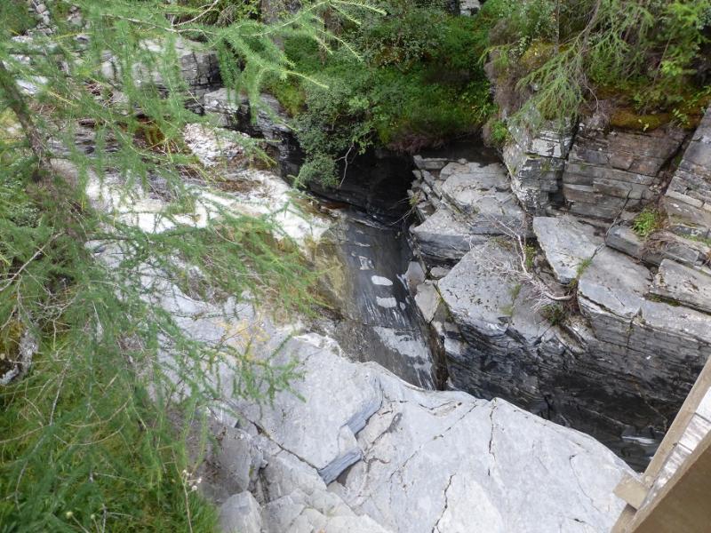
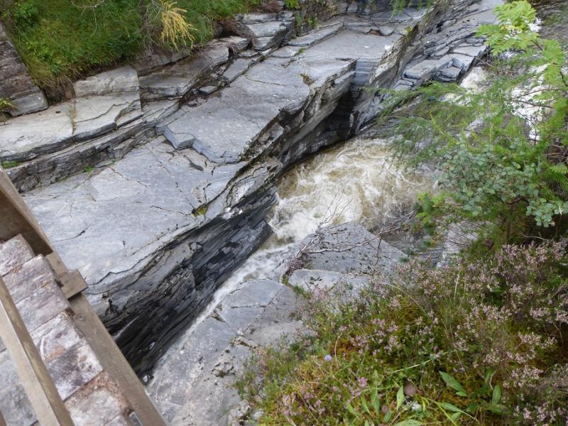
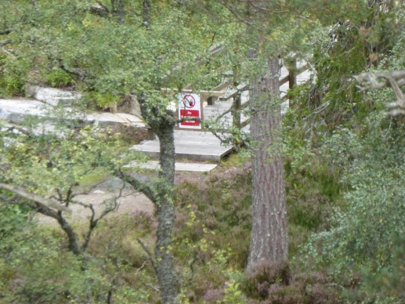
This is a lovely short walk on gently inclined tracks and paths which leads to a summit which is a brilliant viewpoint for almost all the local hills including Morrone, Beinn Iutharn Mhor, An Sgarsoch, Carn an Fhidhleir, Cairn Toul, Ben Macdui, Derry Cairngorm, Beinn a' Bhuird, Ben Avon, Creag Bhalg, Carn Liath, Culardoch, Lochnagar and many more. There are no difficult sections, no rock and no crags. It would be a fairly safe route, even for the inexperienced, in winter conditions. Choose a crystal clear day to get the best views. On 10/9/2016, there was a notice saying all the vehicle and footbridges were down or deemed unsafe. However, the footbridge, across the gorge, at NO 114 913 was found to be intact and crossable. There was a sign on the west side saying “No unauthorised access” and two wooden bars blocked progress but these were easily climbed over. This bridge is high over the gorge. It was crossed twice on the day. Without crossing this bridge, this walk is not possible unless one can ford the river which would only be possible in a dry spell.
Route
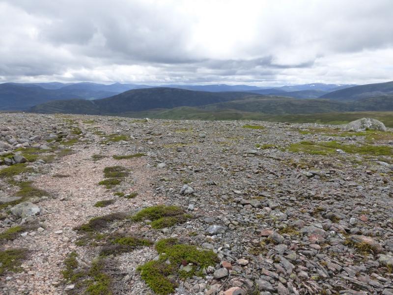
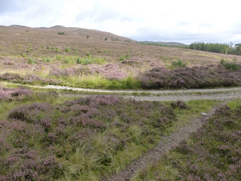
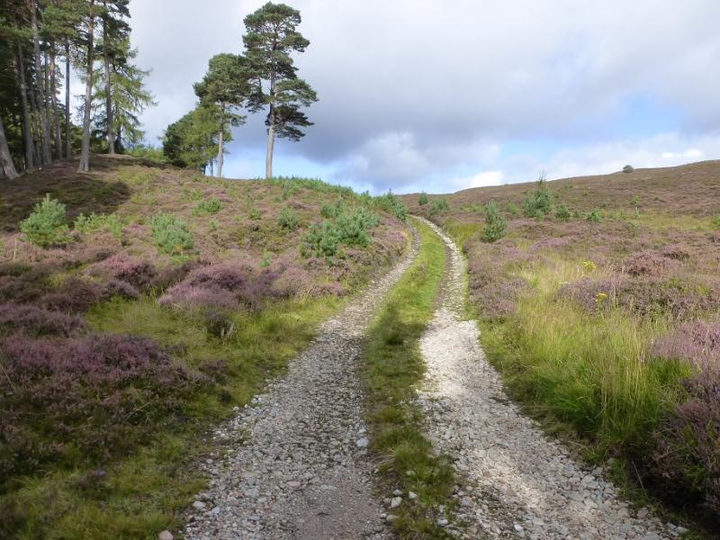
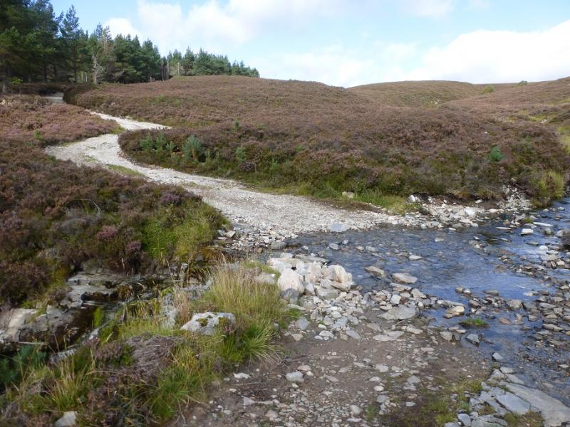
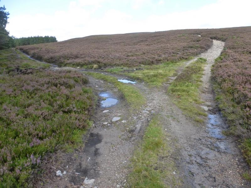
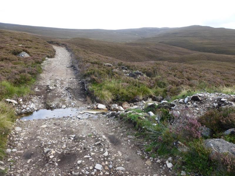
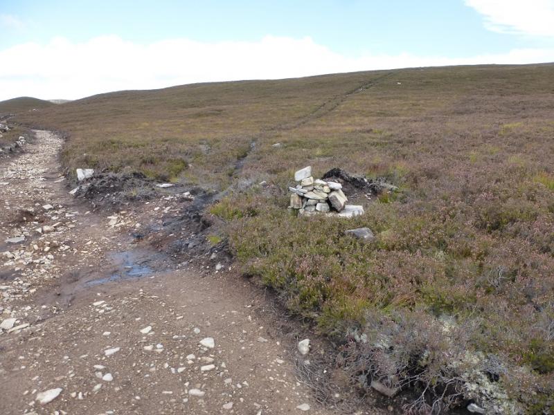
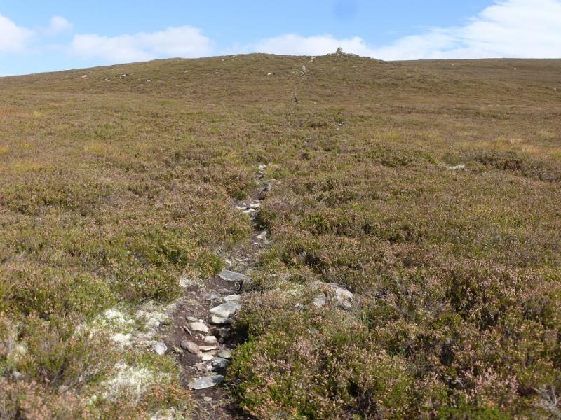
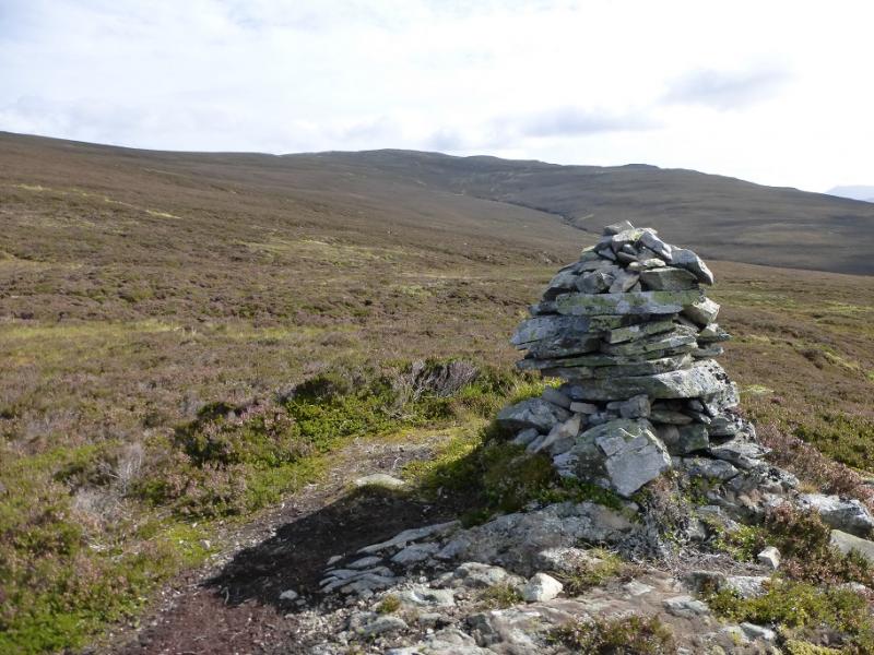
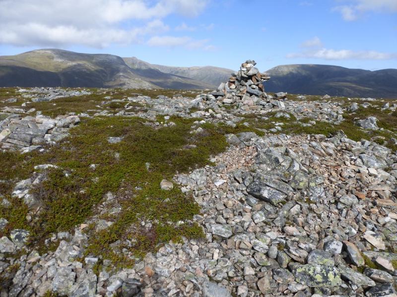
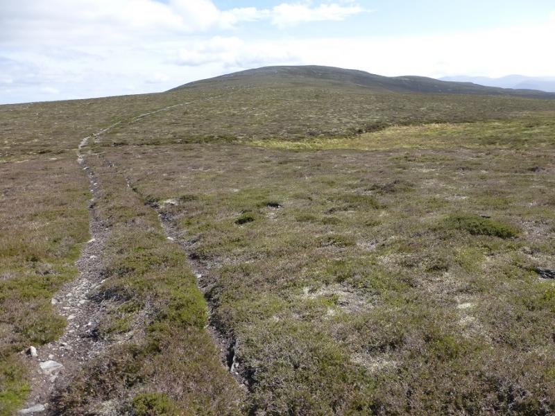
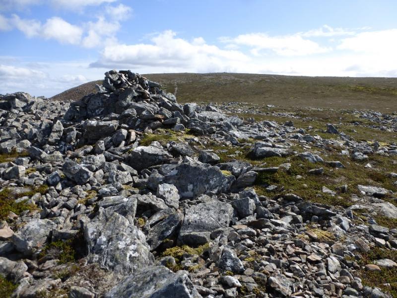
(1) From the car park, ascend the high bank so that you can look down on Quoich Water. Follow the path along the top of the bank heading upstream. Keep looking down and you may see the bridge. The path soon descends then turns back right to reach the bridge which has a sealed cottage on the opposite bank. Cross over then slant up to the left of the cottage and reach a track which heads roughly NNW. Follow the track up to the edge of a wood then along its side, fording a wide stream easily. Continue by the side of the wood to a corner where the path splits. Go straight on, not left, and follow this narrower track up. Not long after crossing a very minor stream, a rough grassy track goes off right at a cairn. Follow this. It soon becomes a path through the heather and leads up to a pillar cairn on the SW shoulder of Carn na Criche. Continue up and reach the cairn on Carn na Criche, crossing a track just before the summit. Follow this track ESE up to a sizeable cairn on a shoulder below the summit of Carn na Drochaide. In thick mist, some might mistake this for the summit. Continue up to the summit plateau where, set back, is a large cairn which is the true summit of Carn na Drochaide, 818 m. Beyond and lower are some smaller cairns.
(2) Retrace the outward route and enjoy views of most of the Cairngorms in front of you.
Notes
(a) This walk took place on 10th September, 2016, and about 15 years earlier.
Photos - Hover over photo for caption. Click on to enlarge. Click on again to reduce.