Get Lost Mountaineering
You are here: Scotland » 07 Glen Shee, Cairn O'Mount and Glen Clova to Glen Esk » Glas Maol Hills to Blairgowrie
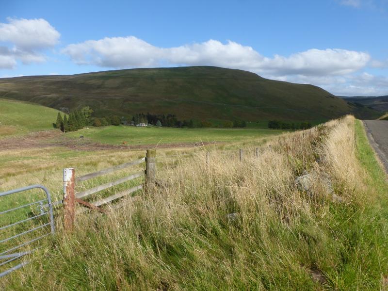
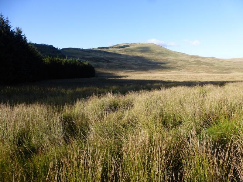
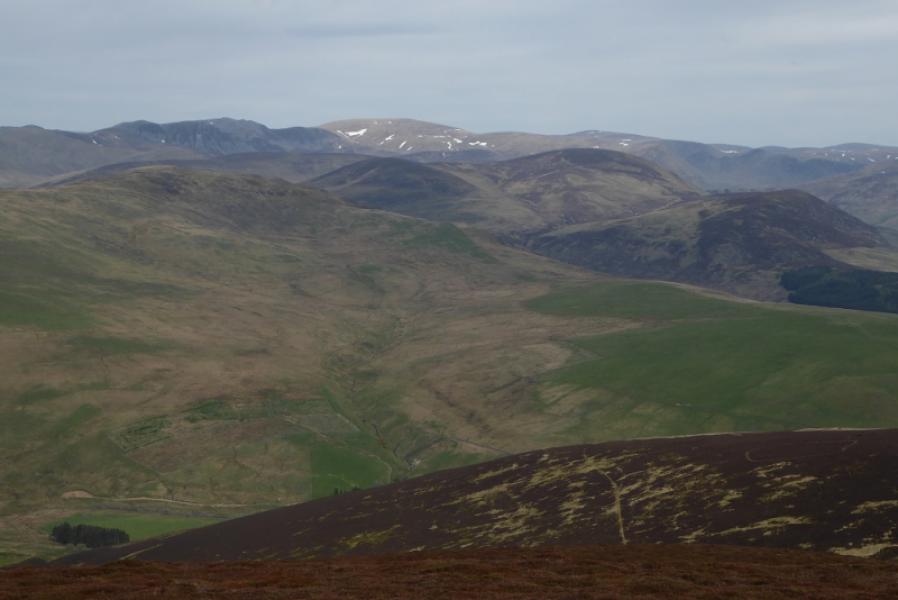
Duchray Hill from near Balloch on B951
Duchray Hill from near Balloch on B951
Start/Finish
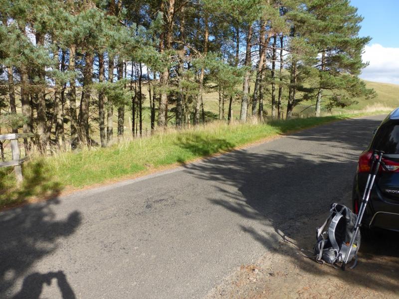
Rough small lay by opposite wood above Balloch on B951 which connects Kirriemuir to the A93 just to the south of the Spittal of Glenshee. Follow the B951 past the large plantation on the left – about 2 km from A93. Go over the highest point on road and descend towards Balloch. Park in a short and rough lay by on the right opposite a strip of woodland which is not seen until quite close.
Distance/Time
8 km. About 3 – 4 hours.
Peaks
Duchray Hill, 702 m, NO 161 672. OS sheet 43.
Introduction
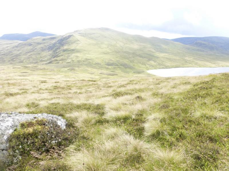
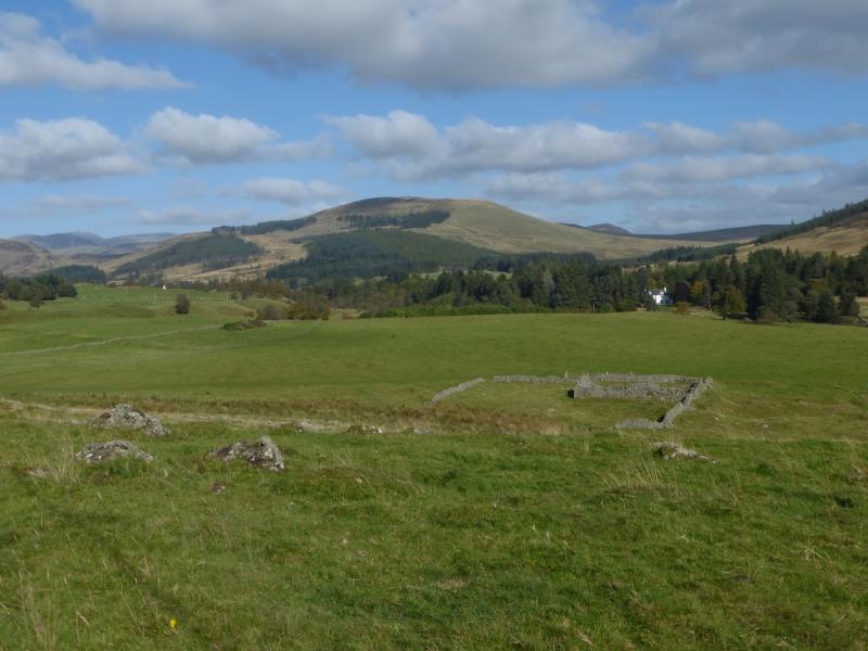
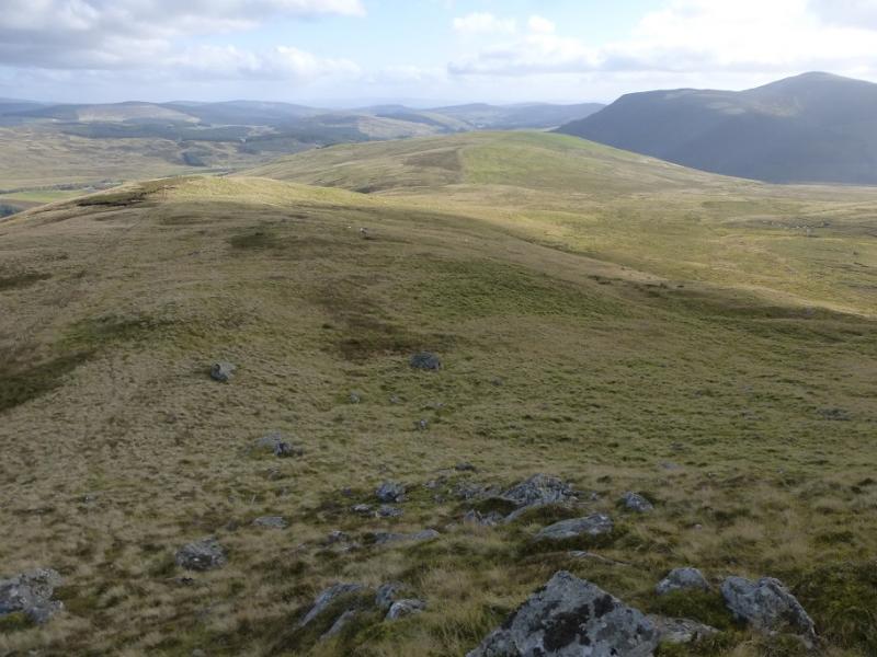
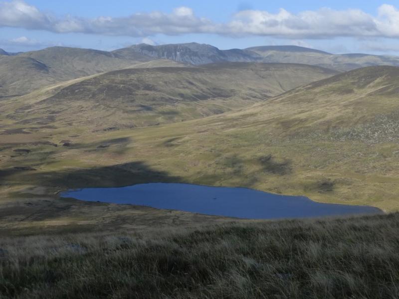
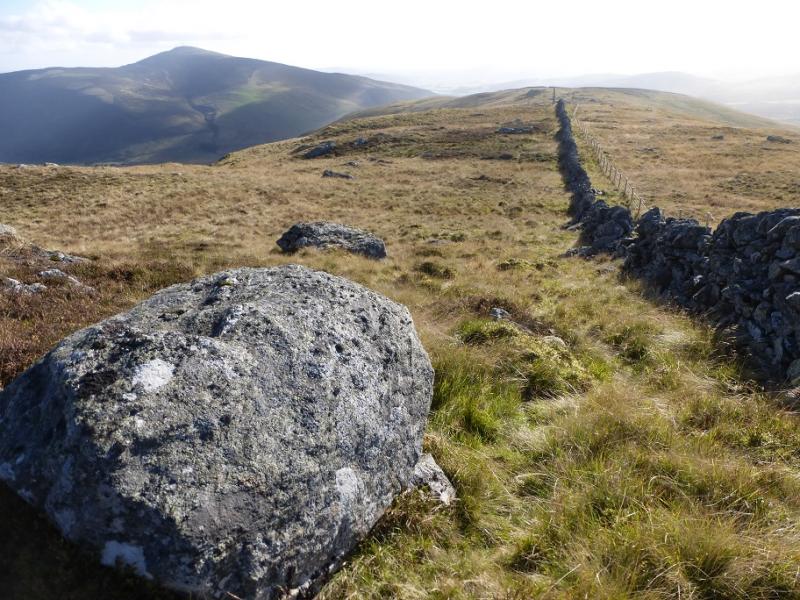
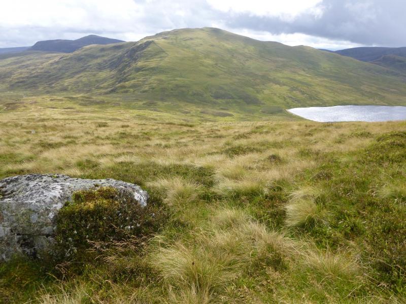
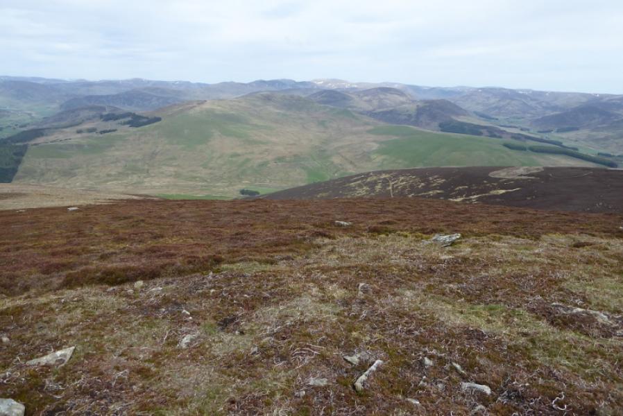
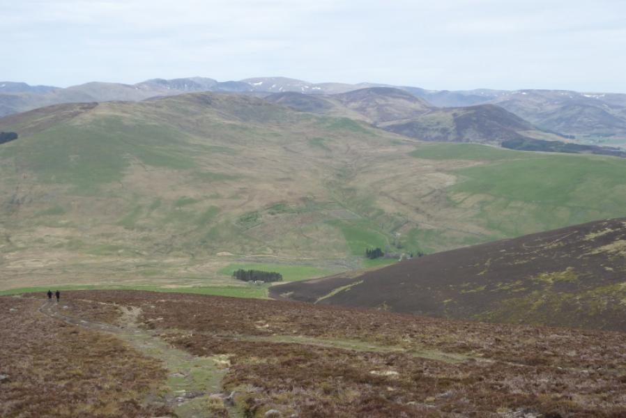
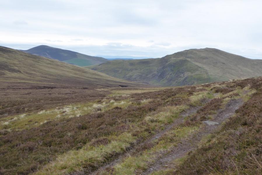
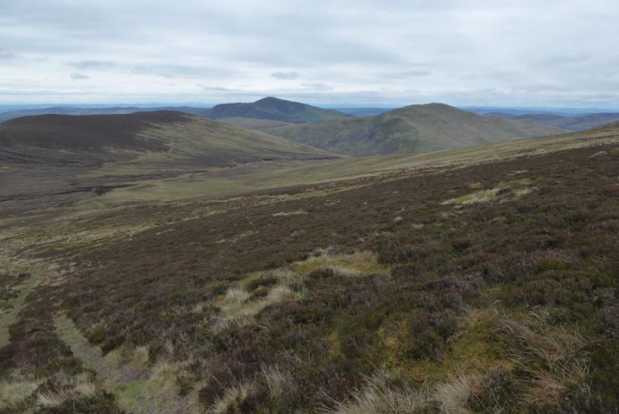
This is a very straightforward walk with good views. By including Carn an Fhidhleir, it is possible to make a reasonable circuit. The ground can be a bit rough in places but not too bad. The bottom of the south ridge of Duchray Hill can be very wet and boggy so avoid this in a wet spell when it would be better to descend by the route of ascent. There are good views to Badandum Hill, Mount Blair, Monamenach, Creag Leacach and Glas Maol and even to Ben Gulabin and Glas Tulaichean.
Route
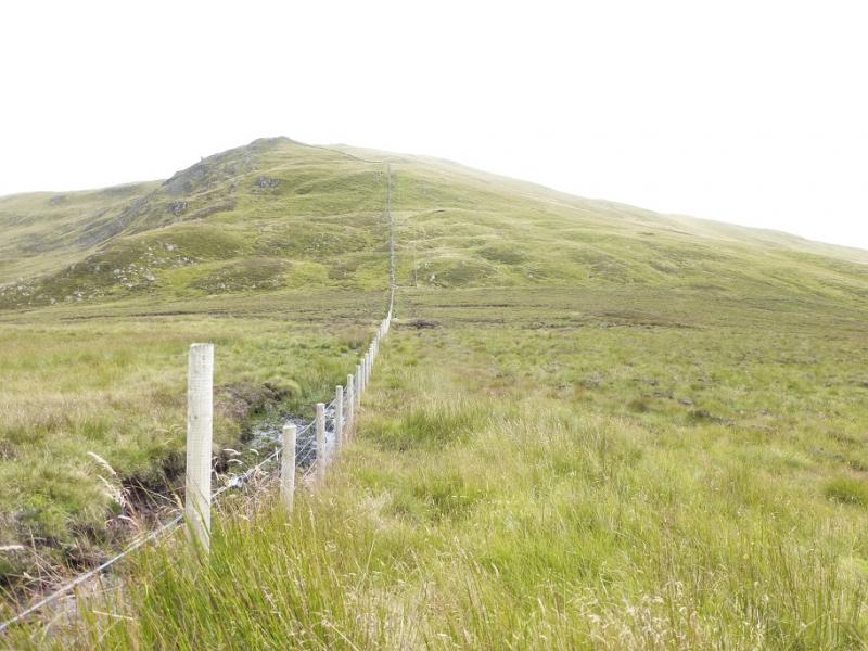
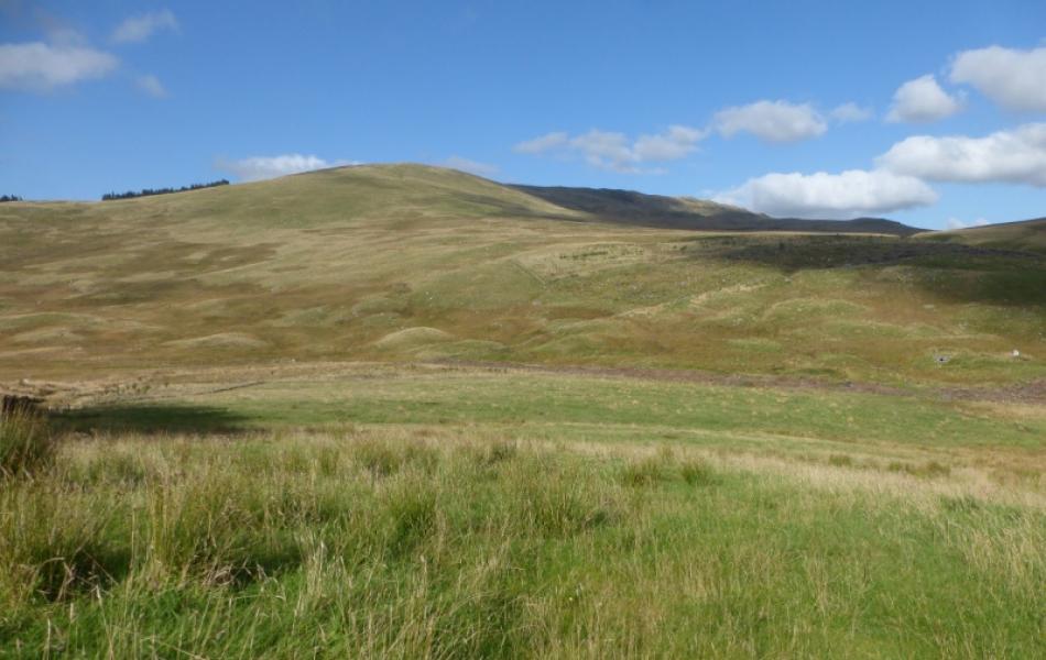
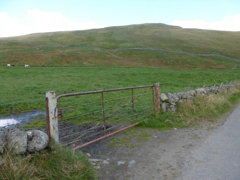
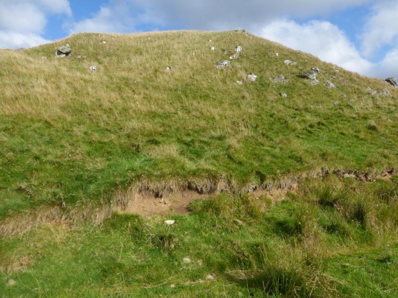
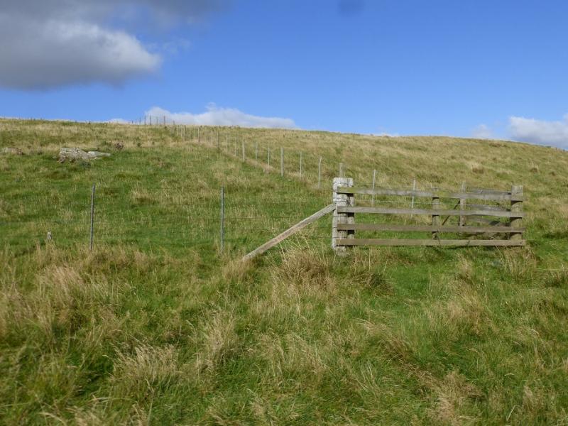
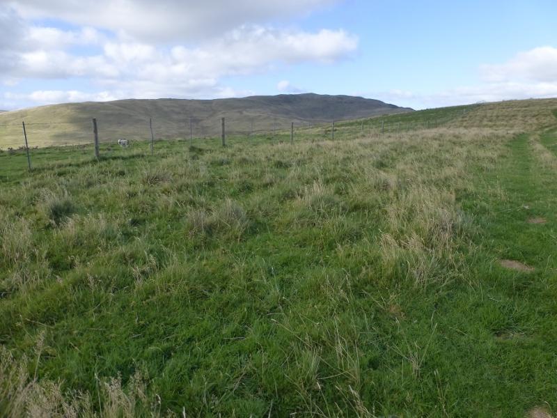
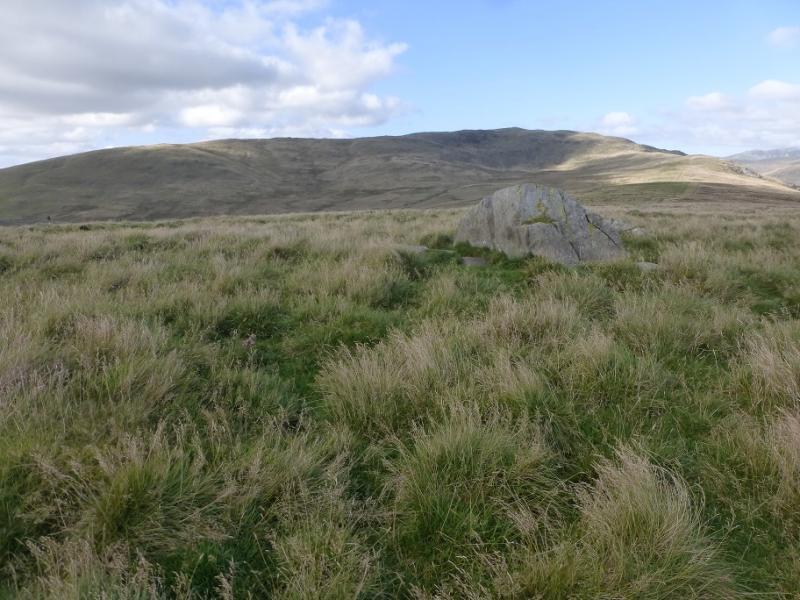
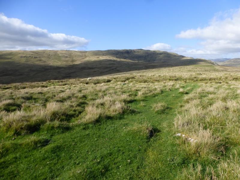
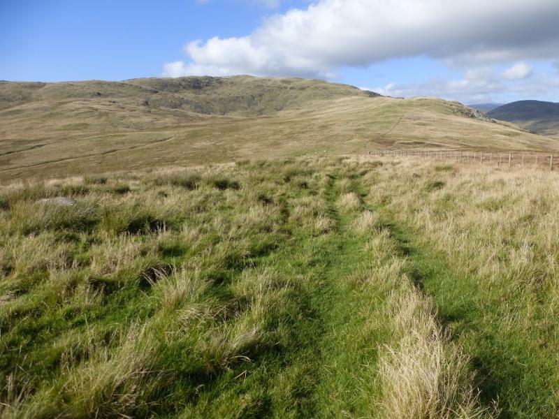
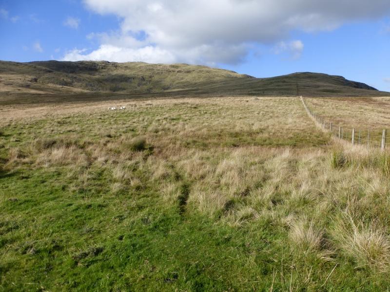
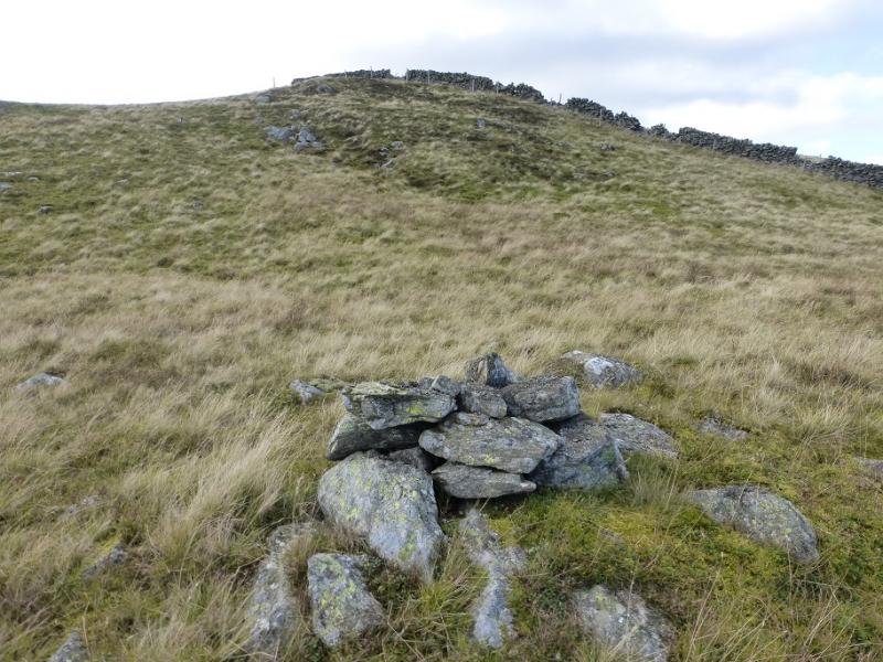
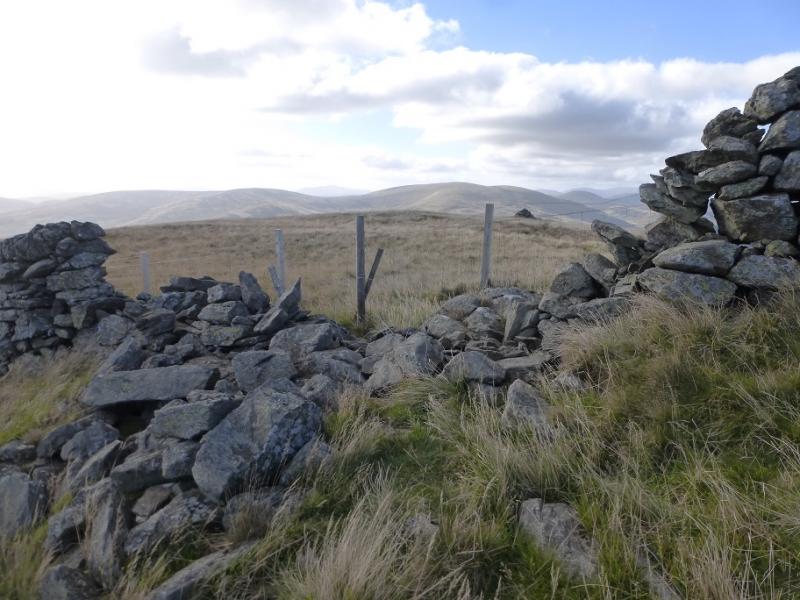
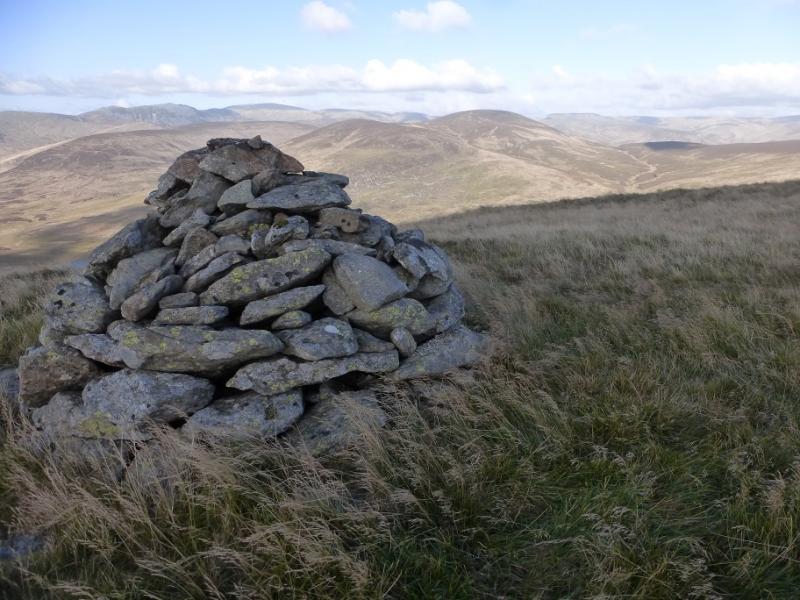
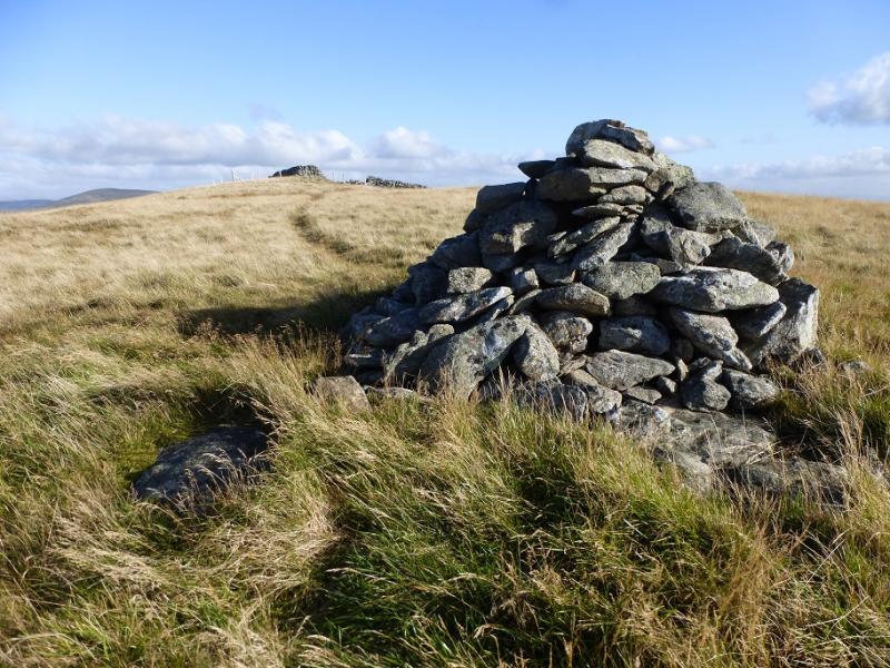
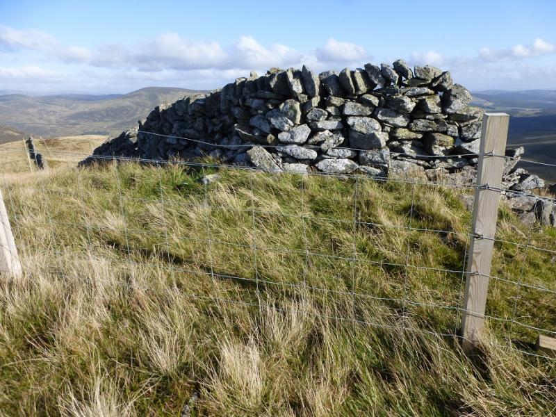
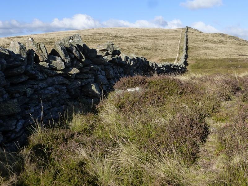
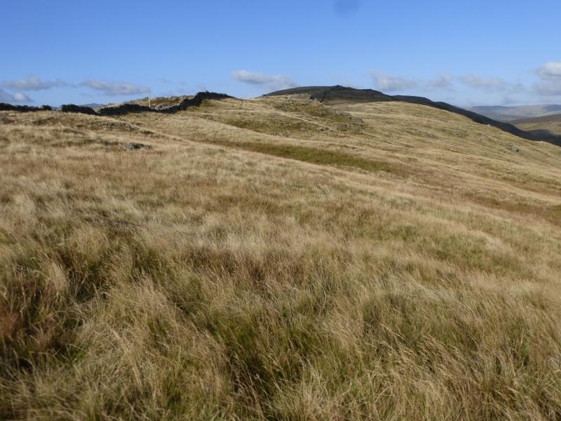
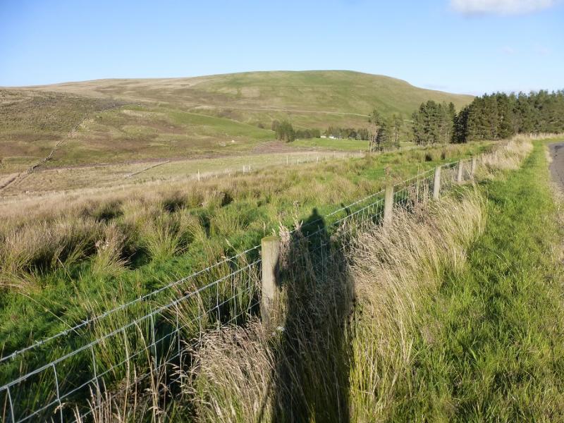
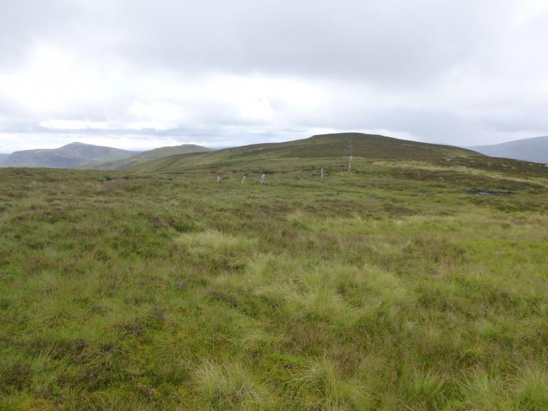
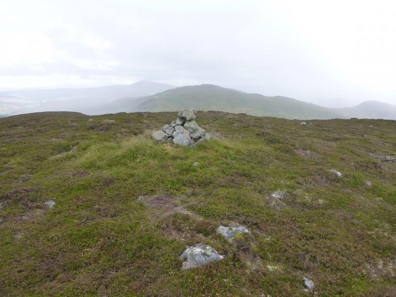
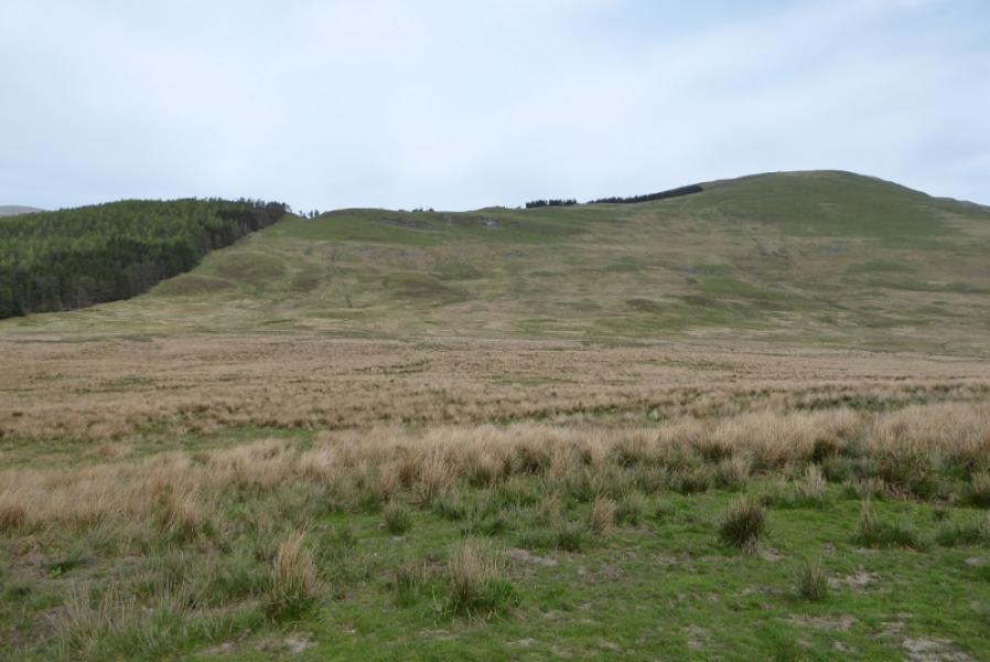
(1) Continue E along the road, crossing the Duchray Burn then passing the track entrance to Balloch. About 40 m further, go through a gate on the left into a field then continue shadowing the road to reach another gate in a stone wall. Follow the wall a little way then start ascending the fairly steep slopes on hints of paths. A fence will be seen on the left and aim to gradually converge with it. It looks like the fence has to be crossed but don't. Instead follow it as it changes direction and heads towards the summit area of Carn an Fhidhleir. A good grassy track is soon joined which leads uptowards the highest point which isn't obvious but is probably the top of the isolated small boulder. Continue on the track which crosses the fence then follows it down to another gate after which the track almost disappears. Continue following the fence up onto the SE ridge of Duchray Hill and intersect with the wall running along the crest. Just before this, there is a cairn which seems to serve no useful purpose. Follow the crest and wall S over a few shoulders to reach the highest point on the wall after which there is a gap. About 50 m through this gap is a medium cairn but it seems higher by the wall. Visit both as one is the summit of Duchray Hill, 702 m.
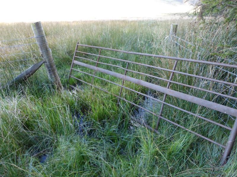
(2) In wet conditions it is wise to retrace the route of ascent. Otherwise, continue S along the crest, still following the wall. There is a faint path. Lower down the plantation is on the right. At the bottom, it can be very boggy and an old gate has to be used to get through the worst part. Reach the road at a gate then walk E back to the start.
Notes
(a) This walk took place on 6th October, 2016, and about 12 years earlier.
Photos - Hover over photo for caption. Click on to enlarge. Click on again to reduce.