Get Lost Mountaineering
You are here: Scotland » 07 Glen Shee, Cairn O'Mount and Glen Clova to Glen Esk » Glas Maol Hills to Blairgowrie
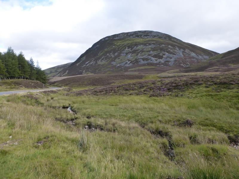
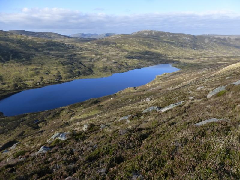
Creag nan Gabhar from Auchallater
Creag nan Gabhar from Auchallater
Start/Finish
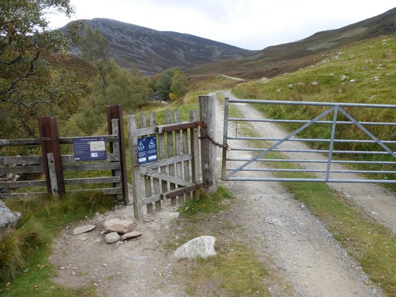
Car park, opposite Auchallater, about 6.5 miles down the north side of the A93 from the top of the Glen Shee Pass (Ski area) and about 2 miles south of Braemar on the A93. Despite the horrendous appearance of the top of the pass, the cafe is quite good and there are toilets. In winter, access towards the top of the pass may be blocked by snow although much effort is made to keep the road open for ski slopes. The car park is Pay and Display. In 2016, the charge was £2.50 per whole day or part of.
Distance/Time
13 km. About 4 hours.
Peaks
Creag nan Gabhar, 834 m, NO 154 841. OS sheet 43.
Introduction
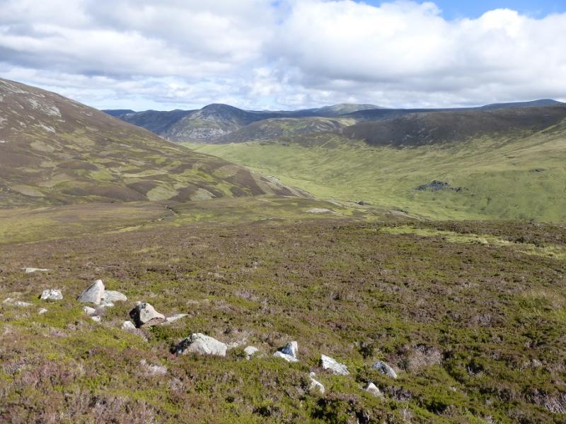
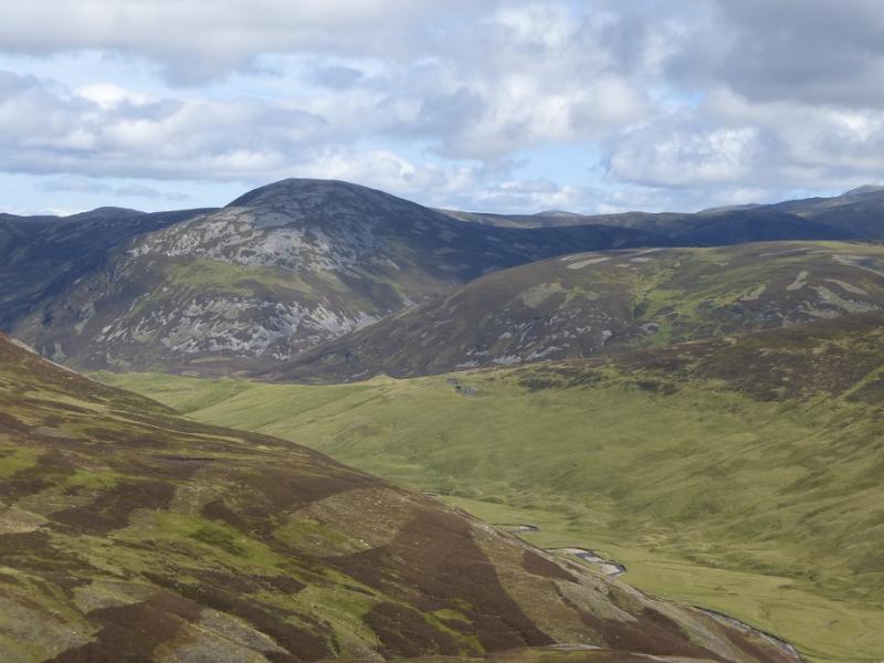
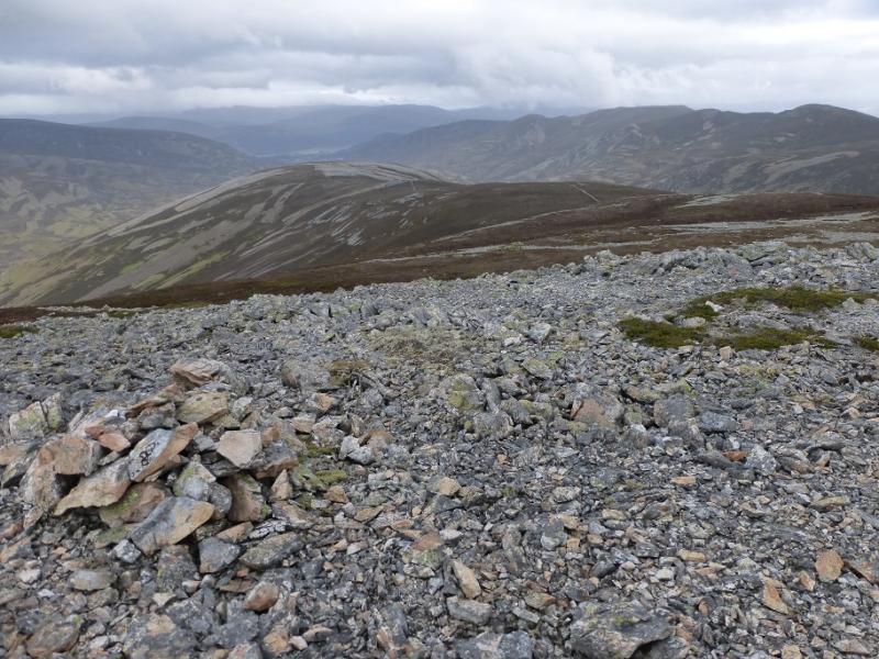
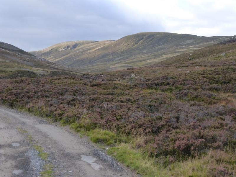
This is a very straightforward walk as a track/path leads all the way to the summit. On a clear day, the views are excellent with Lochnagar and Carn an t-Sagairt Mor to the east, Carn an Tuirc, Glas Maol, The Cairnwell, Carn Aosda and Carn a' Gheoidh to the south, Morven (Morrone) to the west and a host of fine peaks to the north including Ben Avon and Beinn a' Bhuird. Note that the return tracks fords the Callater Burn which may not be possible in wet weather. Alternatives are given in the route.
Route
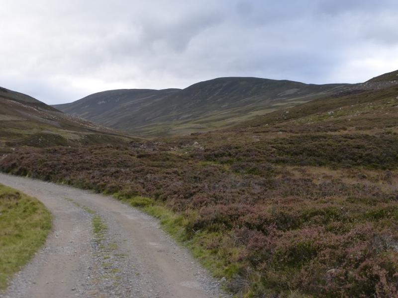
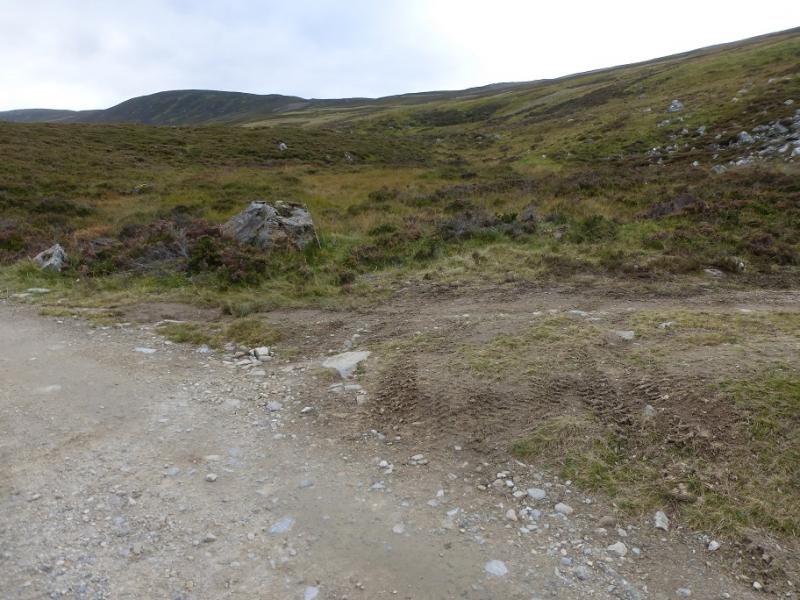
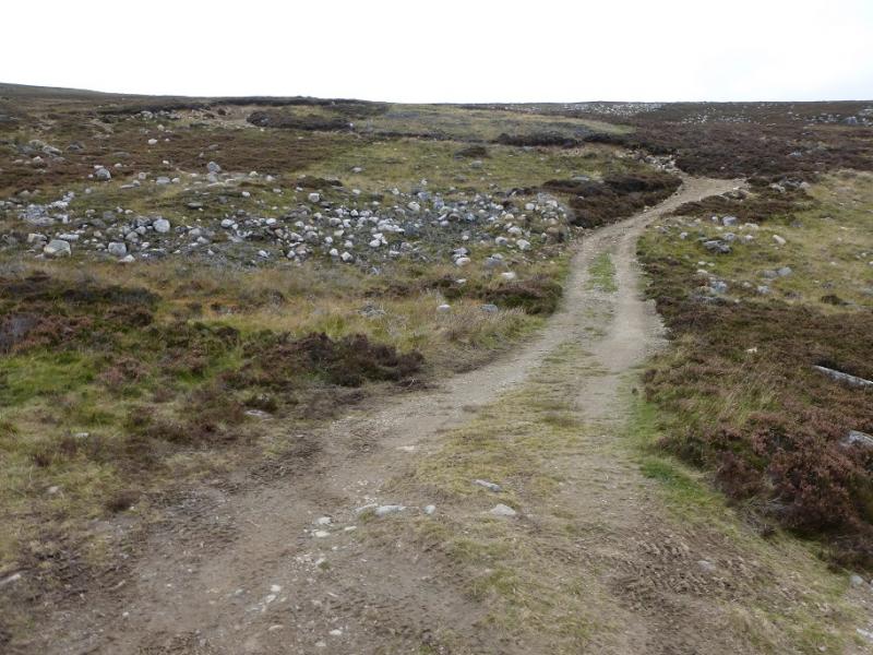
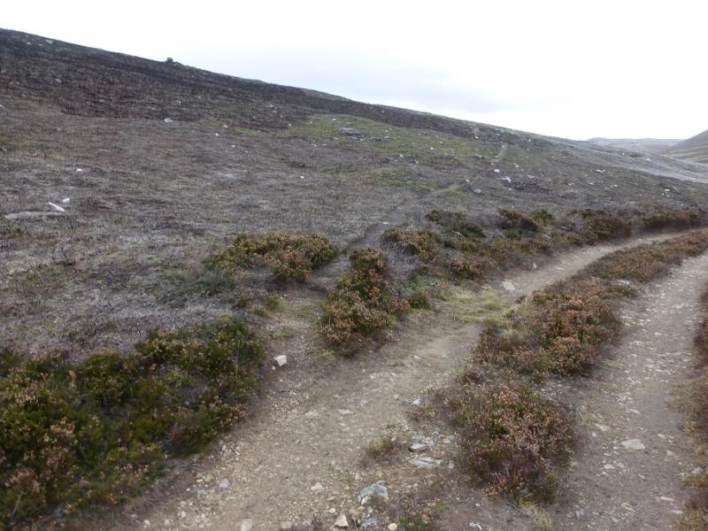
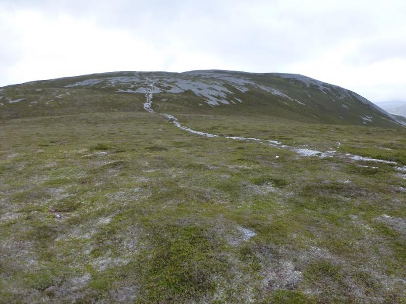
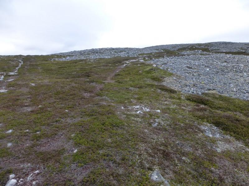
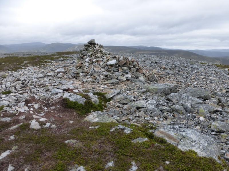
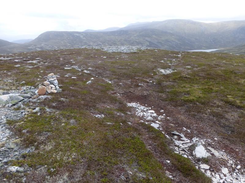
(1) Follow the track from the car park for just over 1.5 km to reach a rough track on the right which climbs steeply as a reverse fork. Follow this up. When it almost levels out, a footpath alternative cuts a corner before rejoining the track which reaches the crest on Sron Dubh. Follow the track S along the crest onto Sron Nan Gabhar where there is a cairn about 50 m off to the right of the track. Continue with a short steepening then the crest curves around to the right. When the ground levels out, the path splits – both go to the summit. Not much further, a medium cairn/short wall is reached which is the summit of Creag nan Gabhar, 834 m.
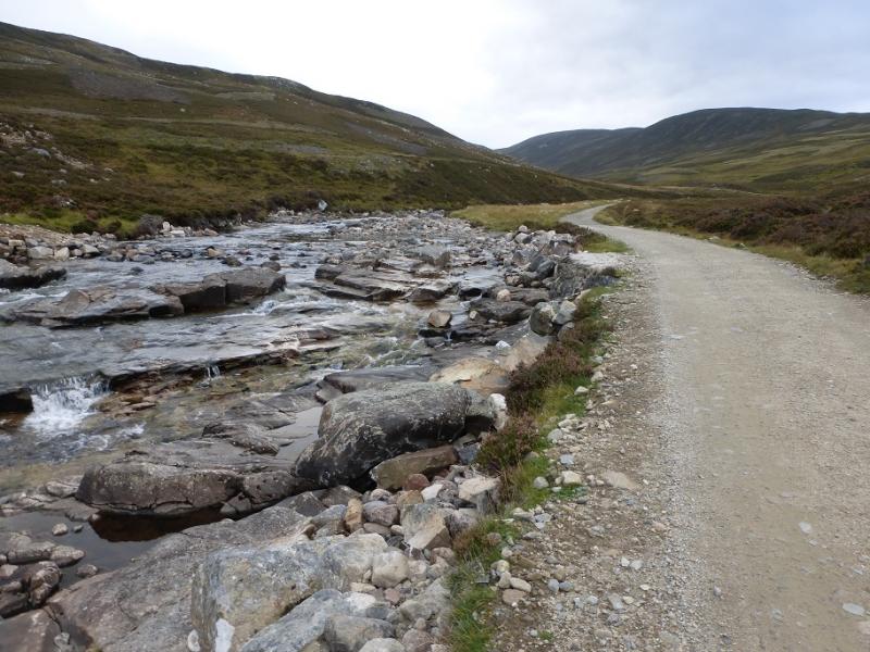
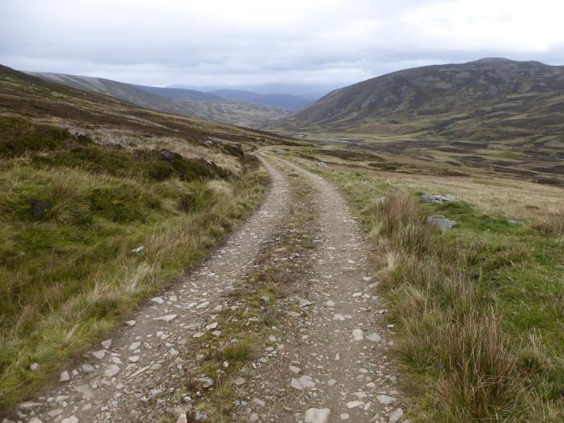
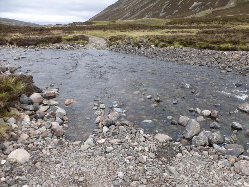
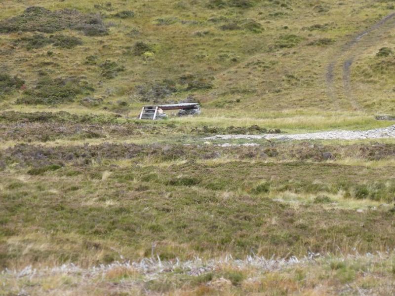
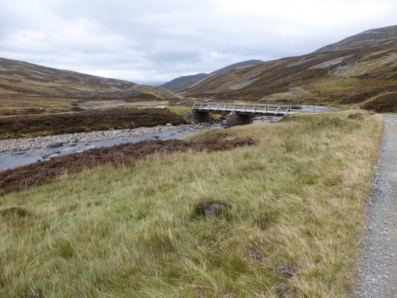
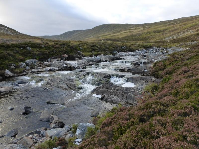
(2) In clear weather, it is best to retrace the outward route and enjoy the view across the River Dee. Otherwise retrace on the more obvious path to a small cairn, just before where the path split. Turn right here on to a faint path and follow it roughly SE. There is one short steeper section then a boggy area which can be outflanked on its right. Continue S to SE on a mixture of faint paths to reach a major track coming from the A93. Follow this track which soon turns N and makes a descending traverse down to the Callater Burn which has to be crossed by a ford. In wet weather, this will be awkward; in very wet weather it will be virtually impossible. If so, then walk along the side of the burn for about 400 m (no path) to reach a footbridge which was intact on 7/10/2016. Should it be down, then continue for a further 600 m, partly on a track, to rejoin the track after it has merged with the Loch Callater track and crossed the river by a bridge. Continue along the track back to the start.
Notes
(a) This walk took place on 7th October, 2016, and about 12 years earlier.
Photos - Hover over photo for caption. Click on to enlarge. Click on again to reduce.