Get Lost Mountaineering
You are here: Scotland » 11 Kintail and Glen Affric to Loch Ness » Invermoriston to North Glen Shiel
Carn Mhic an Toisich & Meall a' Chrathaich from Bhlaraidh
Carn Mhic an Toisich & Meall a' Chrathaich from Bhlaraidh
Start/Finish
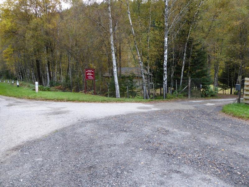
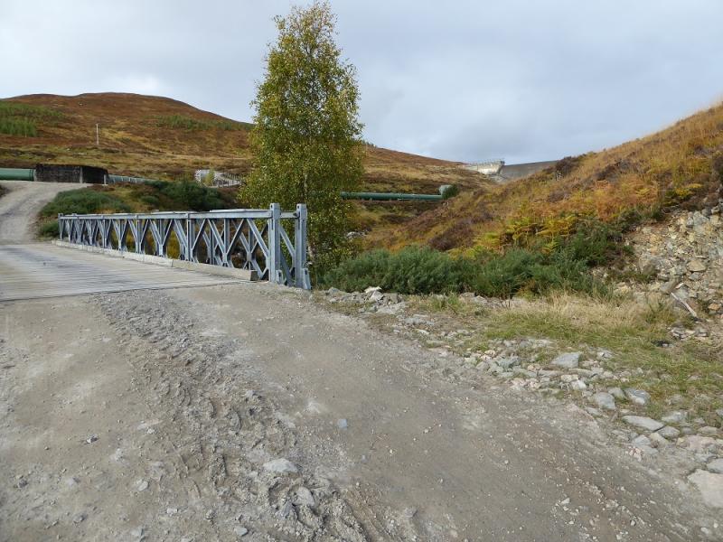
Bhlaraidh which is about 2.5 miles west of Invermoriston (between Fort Augustus and Drumnadrochit on the A82 road from Fort William and Inverness) on the A887. Parking is extremely limited and one may have to park on the verge near to the bridge over the river. It might also be possible to park just inside the turning for Bhlaraidh.
Distance/Time
24 km. About 7 – 8 hours.
Peaks
Carn Mhic an Toisich, 678 m, NH 310 185.
Meall a'Chrathaich, 679 m, NH 360 220. OS sheets 25 & 26.
Introduction
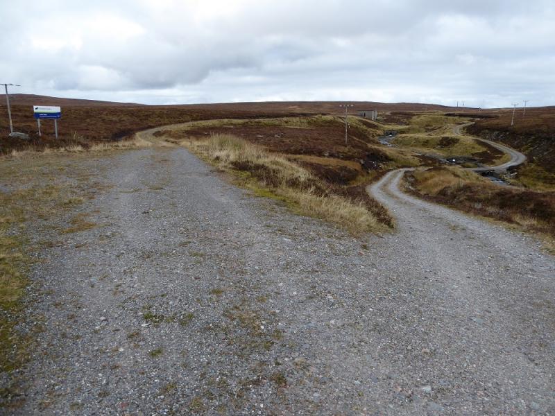
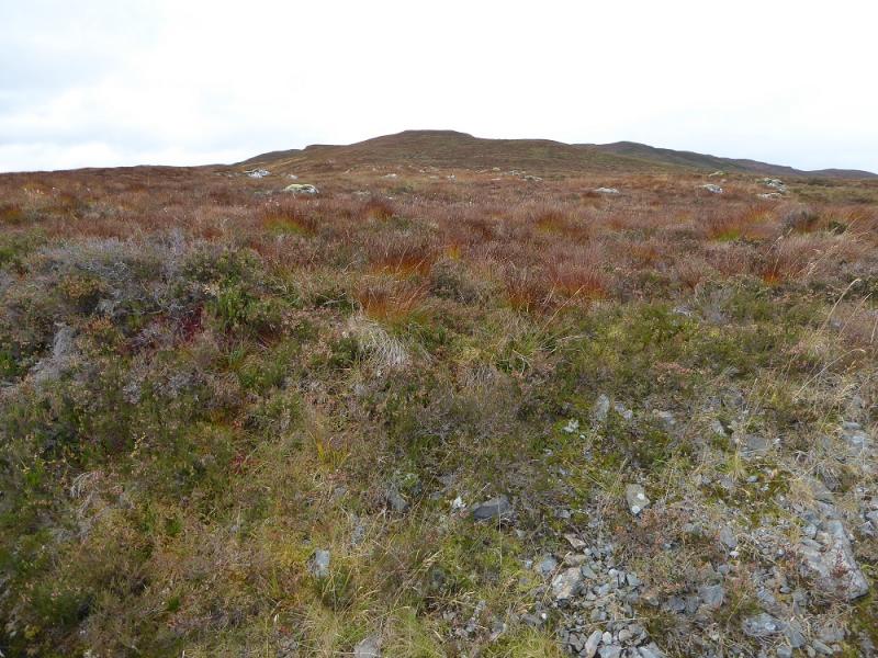
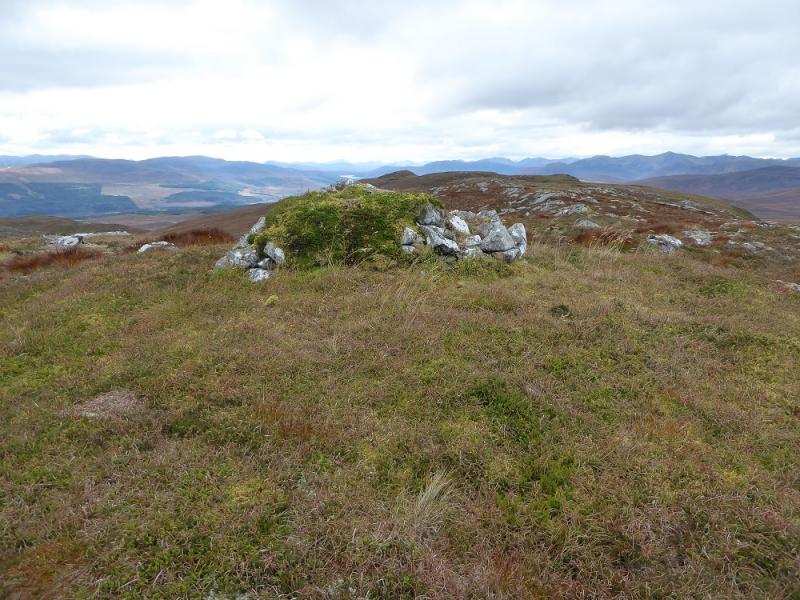
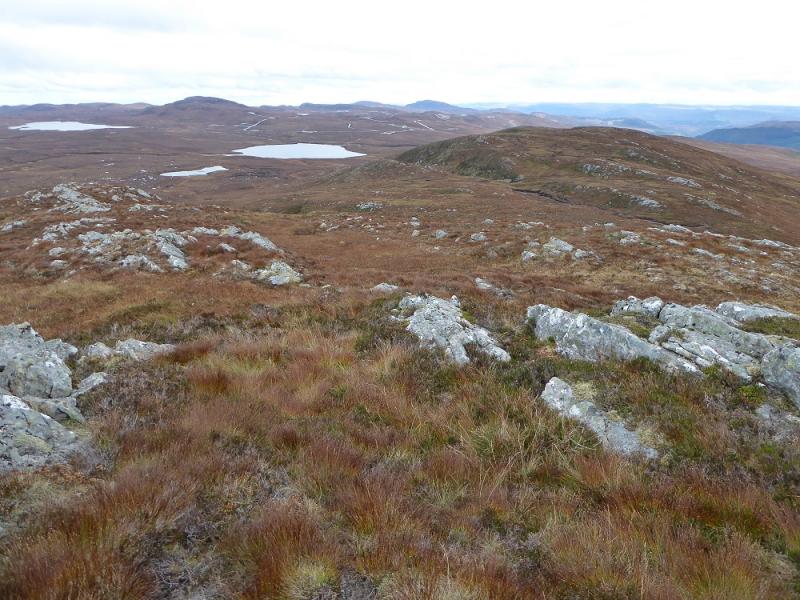
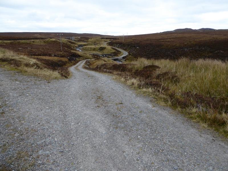
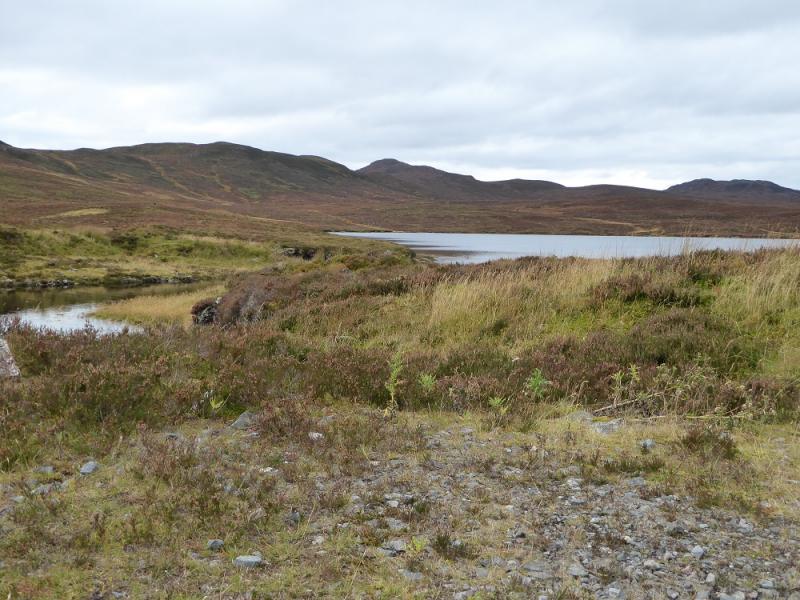
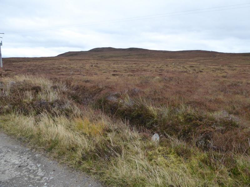
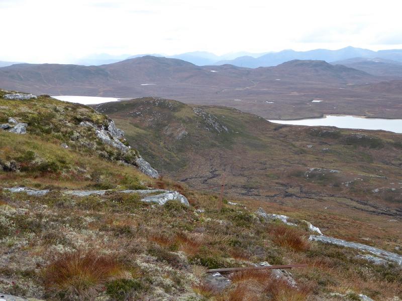
This is a long high moorland walk with much rough ground off the tracks. The views are to distant hills such as Sgurr nan Conbhairean. In October, 2016, there were massive construction works going on for a large wind farm. This meant that there were many new tracks created with the old ones widened in places plus lots of heavy construction traffic. However, access was not restricted. The extra tracks could cause confusion as they are not shown on the map. Note that these tracks may be modified in the future so the route below may no longer be accurate!
Route
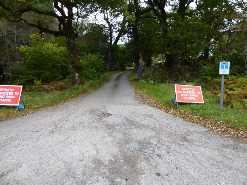
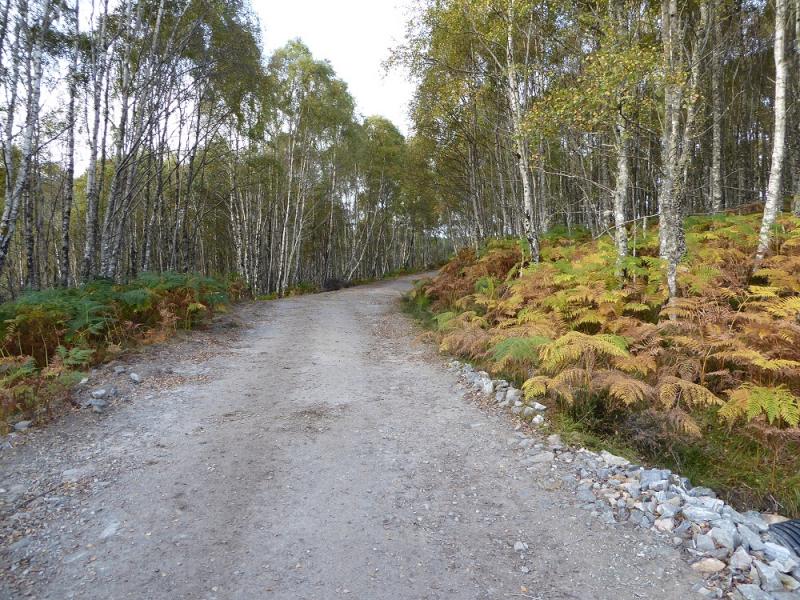
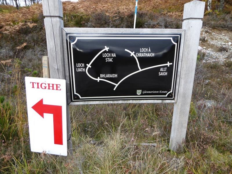
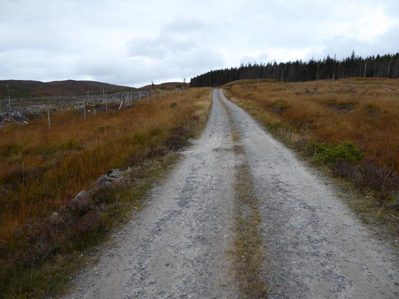
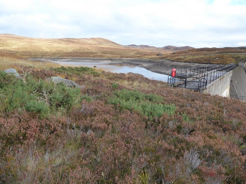
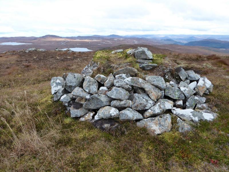
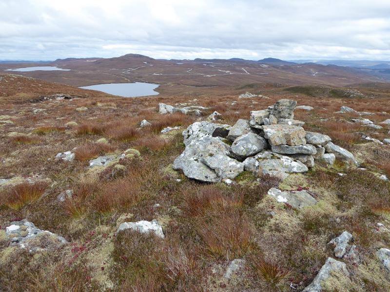
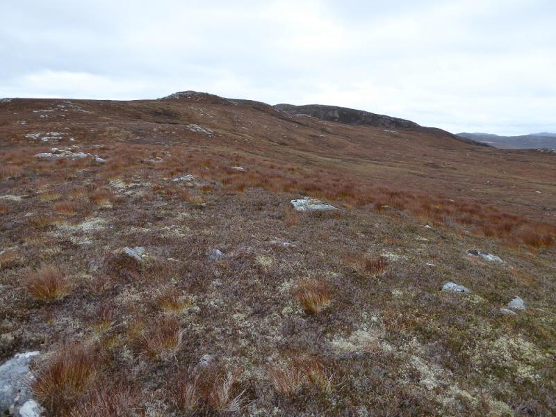
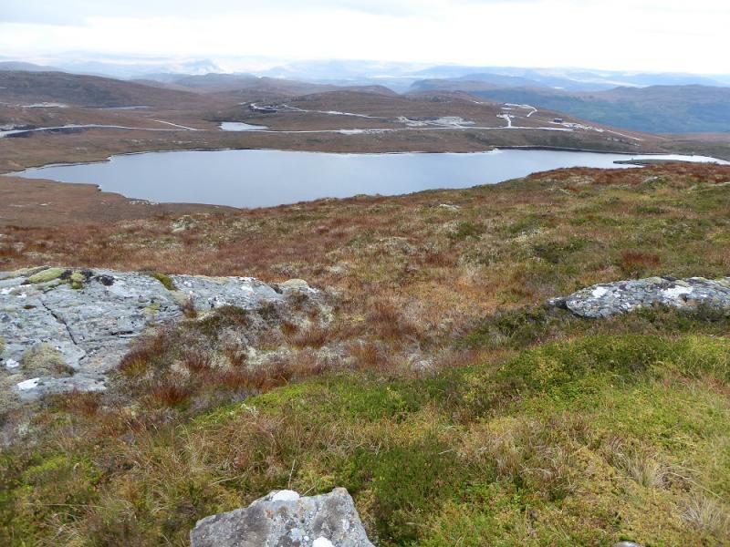
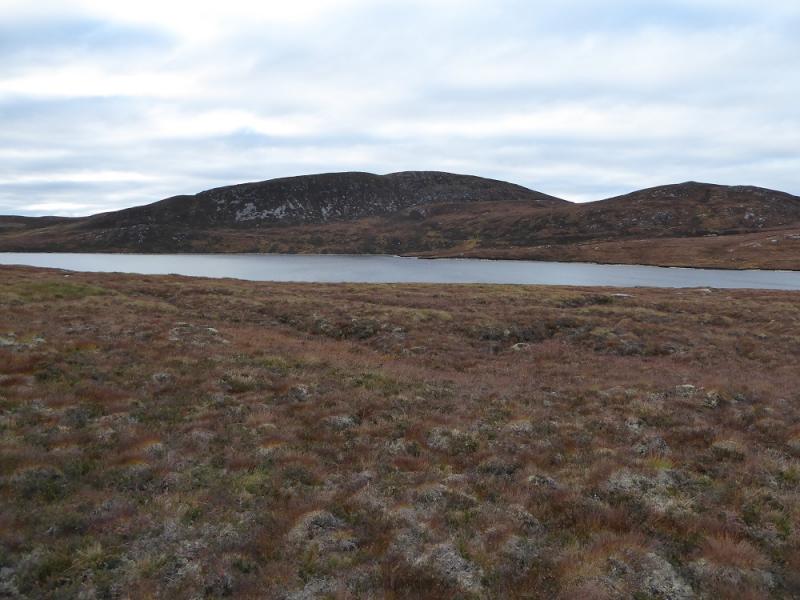
(1) Follow the road past the houses in Bhlaraidh to the gate and stile where the track starts. Follow this up, ignoring the left fork soon reached. Continue up and turn left on to a much wider track. Follow this up, ignoring the old track going left (it returns soon after) then reach a fork. Go left and reach an estate “map” which confirms one is at the old track junction. Follow the track left (still in its original form). After a further 2 km, pass Bhlaraidh Reservoir then continue for a further 2 km to where the track splits just before Loch Liath. Leave the track here and head WSW up pathless slopes and some minor tops to Carn na Caorach where there is a cairn marking its highest point. Descend roughly WNW then ascend the NE ridge to reach the overgrown medium cairn which is the summit of Carn Mhic an Toisich, 678 m.
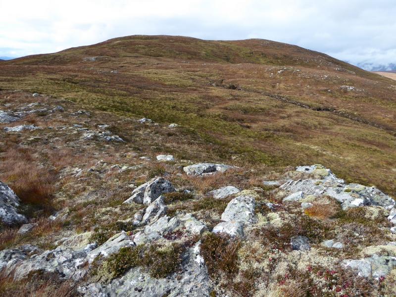
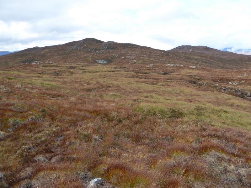
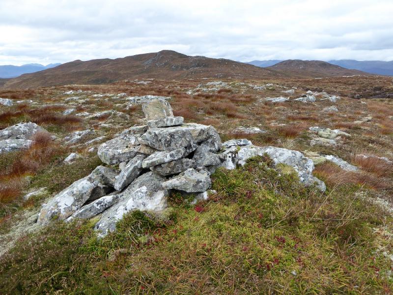
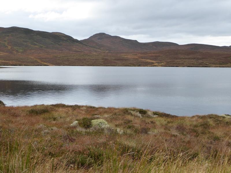
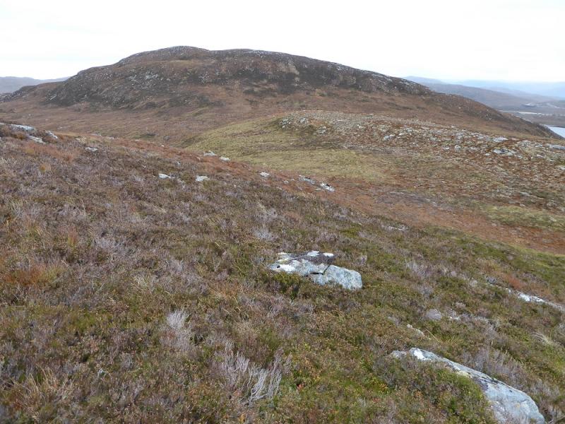
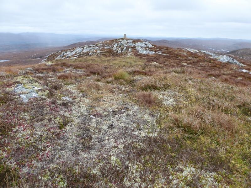
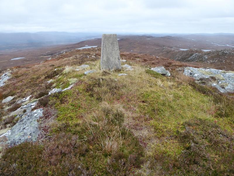
(2) Retrace back to the track at Loch Liath and follow the track on the E side of the loch to its end at Loch nan Stac. From here, ascend rough, often boggy, slopes heading NE to reach Top 630. Descend E then ascend to the crest ahead and follow it N, over a few false tops, to reach the trig point which is the summit of Meall a'Chrathaich, 679 m.
(3) Follow the crest down to the NE until an easy descent can be made down towards Loch a' Chrathaich at its N end. A new construction track starts near the N end of the loch and this should be joined as soon as possible and followed down the E side of the loch and continue to its end then descend pathless ground down to the old track as shown on the map, coming from the dam. This soon joins a construction road which descends then goes left and continues down to the track junction where the map sign was earlier. Continue a little further to rejoin the the outer track back to Bhlaraidh.
Notes
(a) This walk took place on 12th October, 2016 and about 12 years earlier.
Photos - Hover over photo for caption. Click on to enlarge. Click on again to reduce.