Get Lost Mountaineering
You are here: Scotland » 12 Glen Cannich to Glen Carron » Cannich & Loch Mullardoch to Loch Long
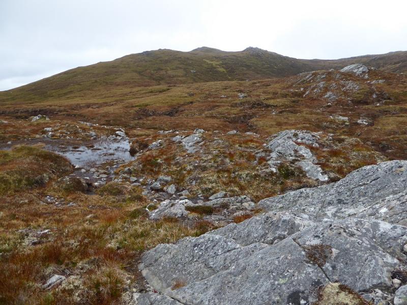
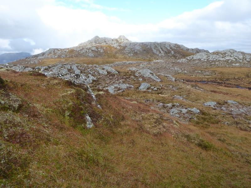
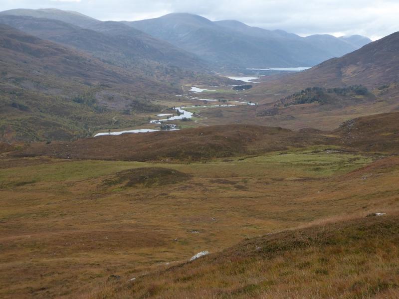
Sgorr na Diollaid from near Muchrachd in Glen Cannich
Sgorr na Diollaid from near Muchrachd in Glen Cannich
Start/Finish
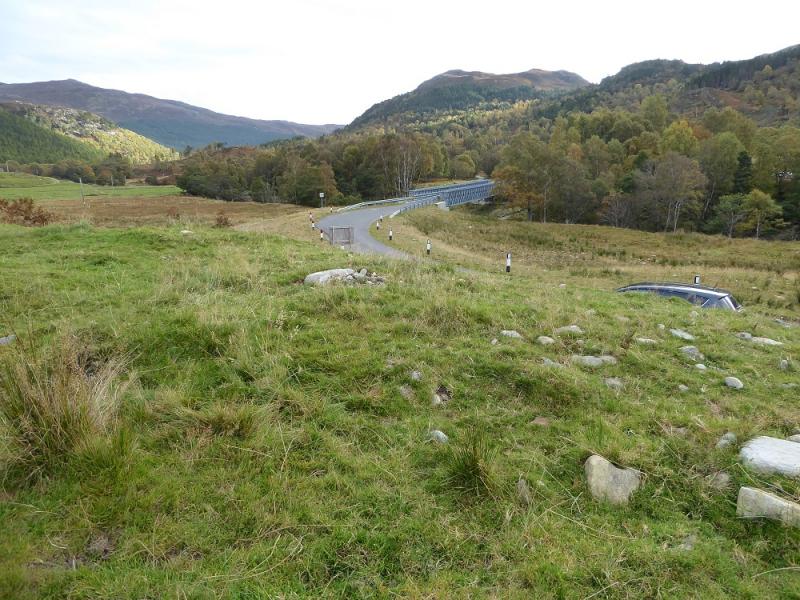
Verge parking near start of track to Muchrachd which is just across the new bridge which is about 4 miles up Glen Cannich from Cannich village on the way towards the Loch Mullardoch Dam. Try to avoid parking in the obvious “car park” at the start of the track as this is likely to impede farm access. It is possible to park a few cars on the road verge below the track behind the bend markers or back across the bridge wher ethere are more options. From Cannich village, take the road for Glen Cannich and Loch Mullardoch which starts close to the traffic lights. Cannich can be reached from either Drumnadrochit or Beauly.
Distance/Time
8 km. About 4 – 5 hours.
Peaks
Sgorr na Diollaid, 818 m, NH 281 362. OS sheet 25.
Introduction
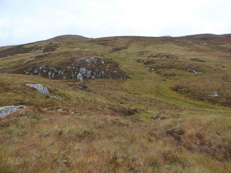
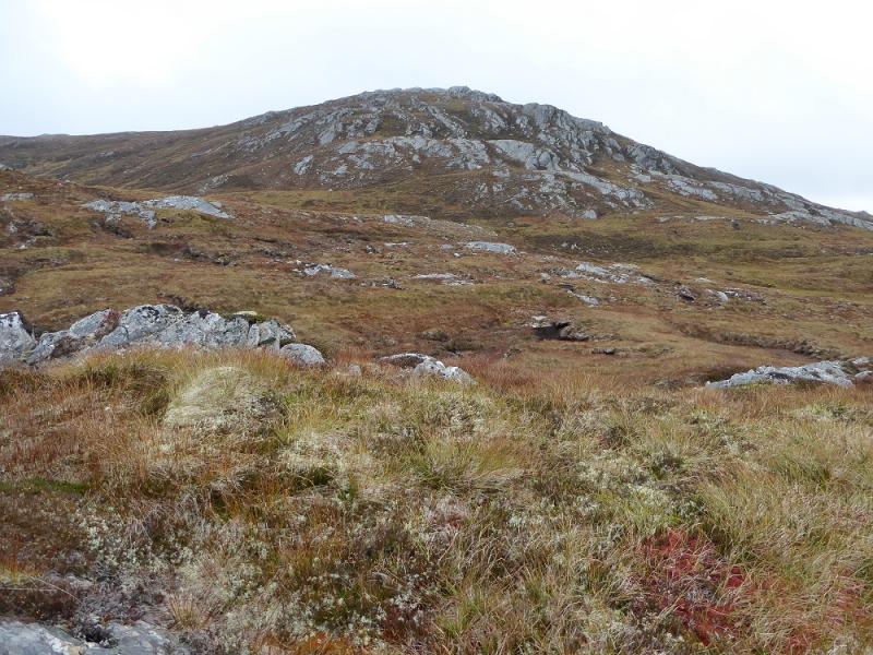
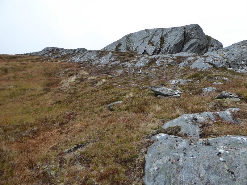
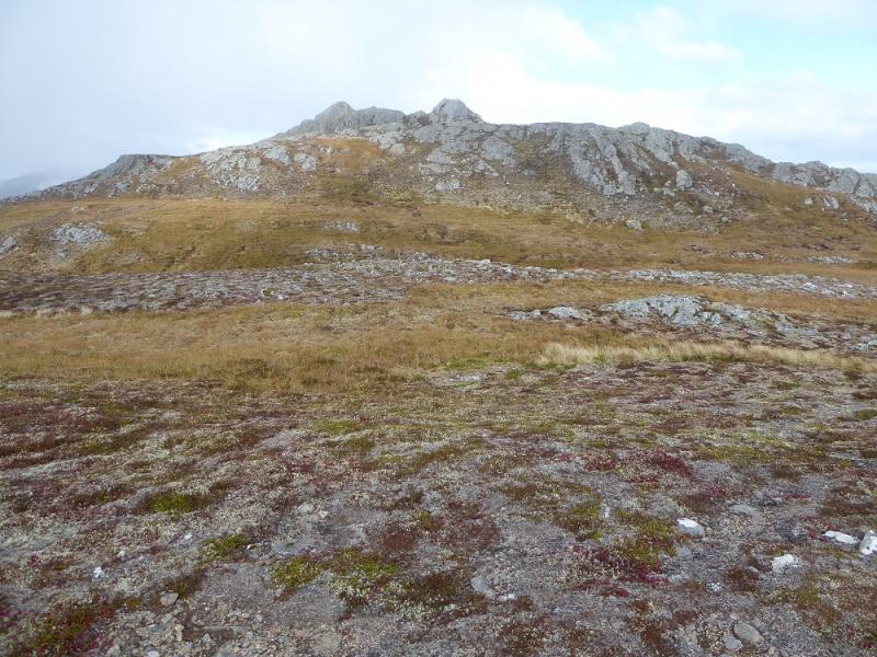
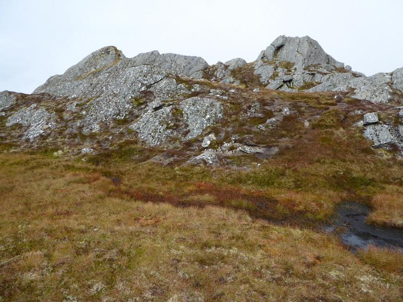
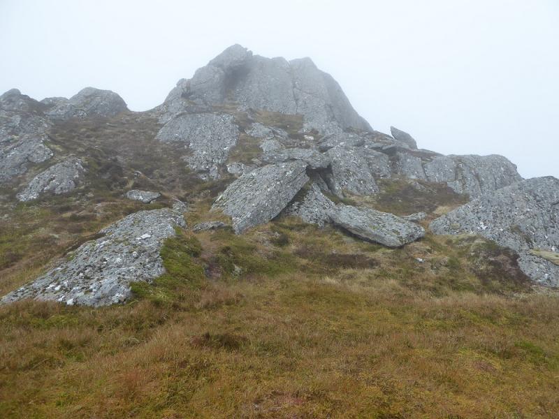
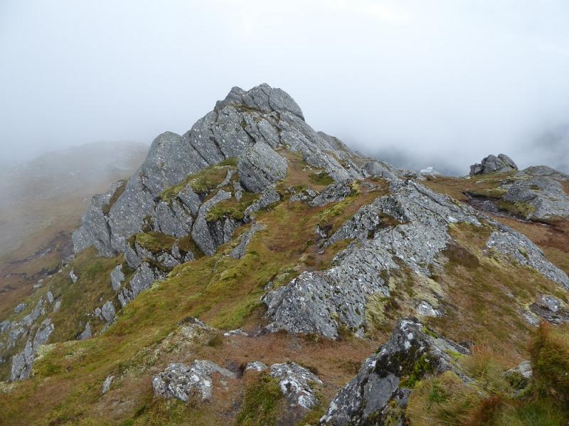
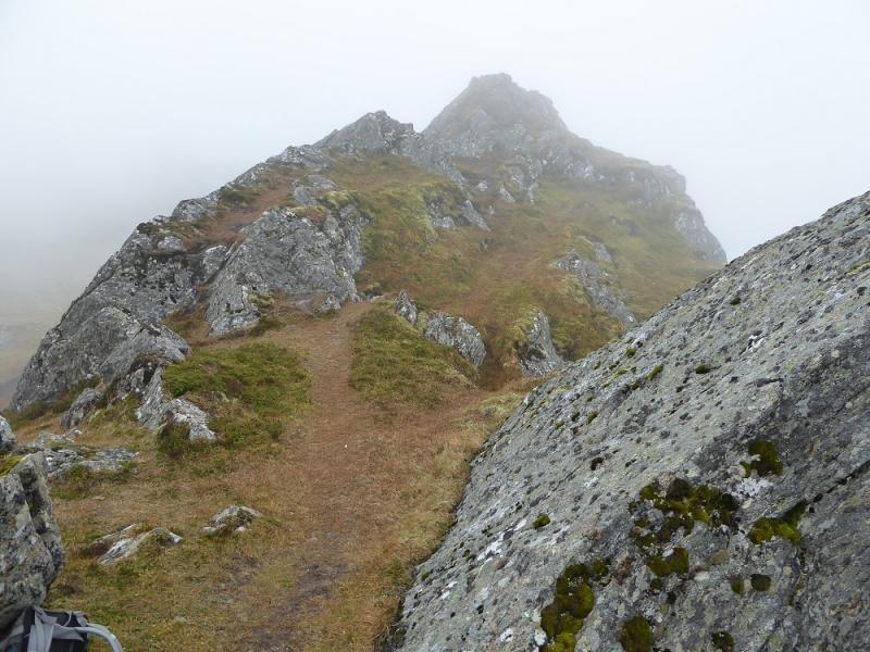
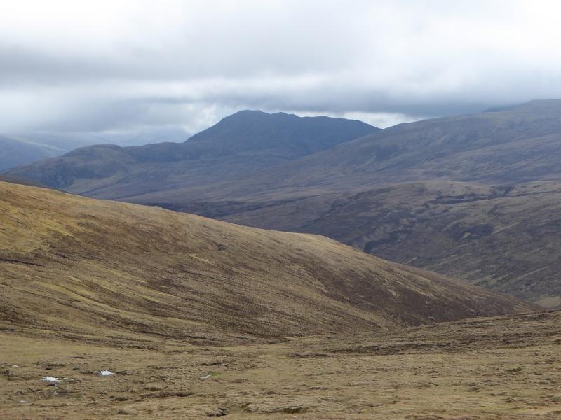
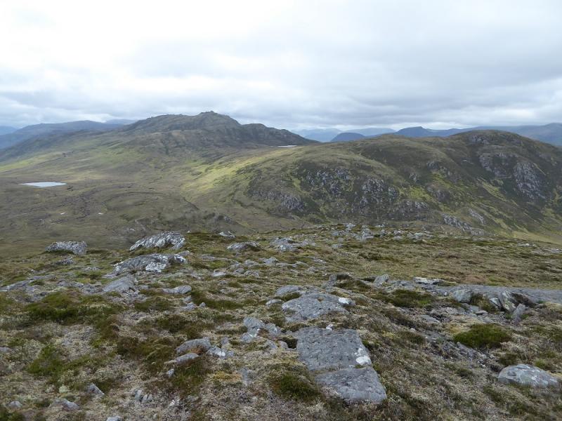
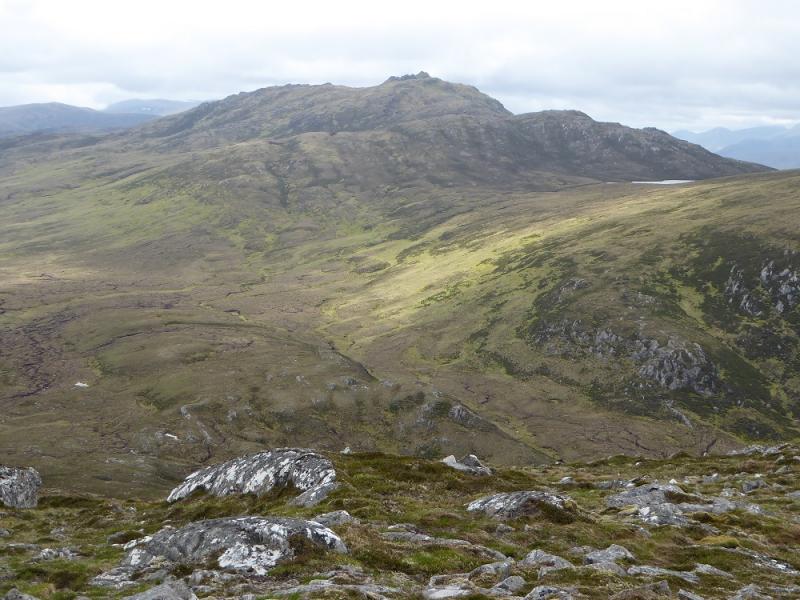
This is a short walk but the terrain is steep, rough and often wet. The summit area would be very confusing in mist as there seem to be two “cross ridges” before the summit ridge which is well set back and not seen untik quite close. The summit has two rocky tops less than 100 m apart which seem to be about the same height so both should be visited; neither has a convincing cairn. On a clear day, there are good views especially west to Loch Mullardoch and the hills around it. Immediately north is Glen Strathfarrar with its hills too.
Route
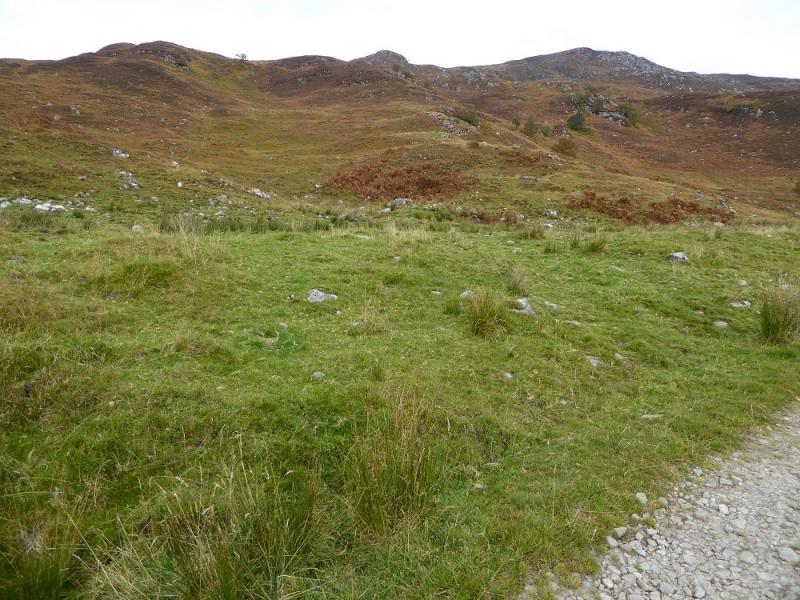
(1) From the start of the track, head roughly N up the hillside aiming for a prominent knoll higher up. There is a path lower down but it can be faint in places. Reach the top of the knoll then continue up but drift right to a more slabby ridge which has a few perched boulders on it. Walk up this, easily avoiding any rocky sections, and reach the top of the first “cross ridge”. Head roughly NE, descending a little, to reach the next “cross ridge”. The summit should now be visible as the third “cross ridge”. Aim for between the two obvious tops. A grassy path leads left, N, to the N top. The S Top is reached from the gap by an easy scramble. Alternatively, descend from the gap around on the W side to find a path going up the easier side of this top which has a hint of a cairn on its summit and may be the higher top.
(2) Retrace the outward route.
Notes
(a) This walk took place on 13th October, 2016, and about 12 years earlier.
Photos - Hover over photo for caption. Click on to enlarge. Click on again to reduce.