Get Lost Mountaineering
You are here: Scotland » 00 Galloway and the Borders » Dumfries and Galloway Hills
Meikle Millyea Quickie from Forrest Lodge
Meikle Millyea Quickie from Forrest Lodge
Start/Finish
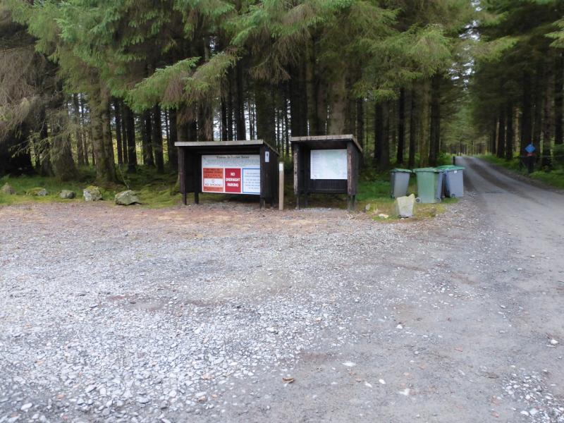
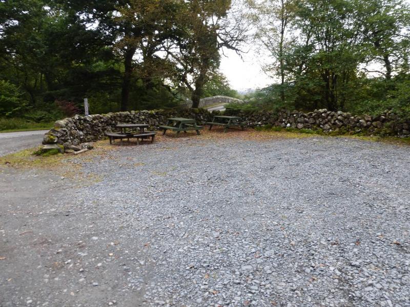
Public car park at end of road to Forrest Lodge. This minor road leaves the A713 at Polharrow Bridge which is just to the north of Earlstown Loch which, itself, is just to the north of St. John's Town of Dalry. Polharrow Bridge is about 6 miles to the south of the village of Carspahairn. There are public toilets on the A713 at the north end of Carsphairn. It is about 3.5 miles from Polharrow Bridge to the car park.
Distance/Time
9 km. About 4 - 5 hours.
Peaks
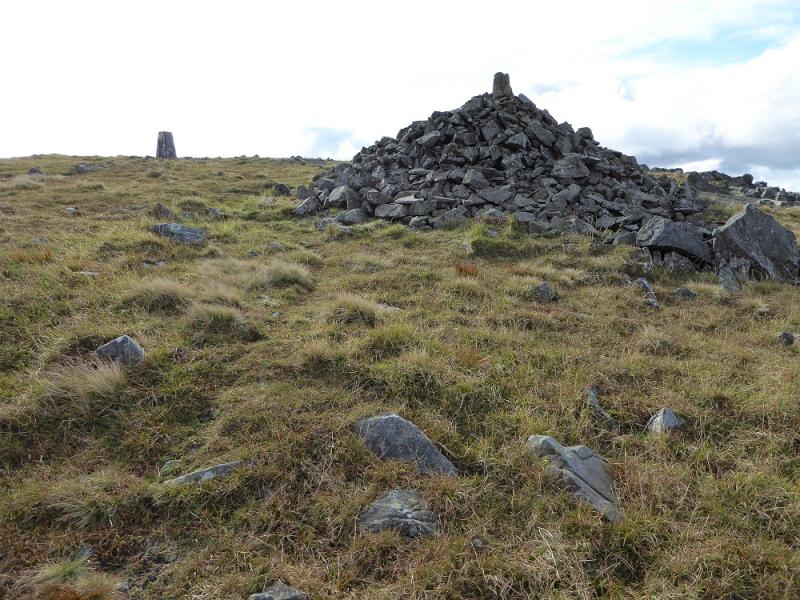
Meikle Millyea, 748 m, NX 516 825. Moved in 2015. Now 2 m higher.
OS Explorer sheet 318, Galloway Forest North
Introduction
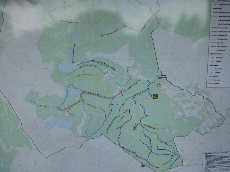
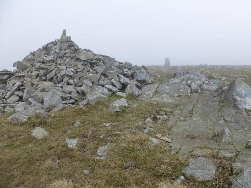
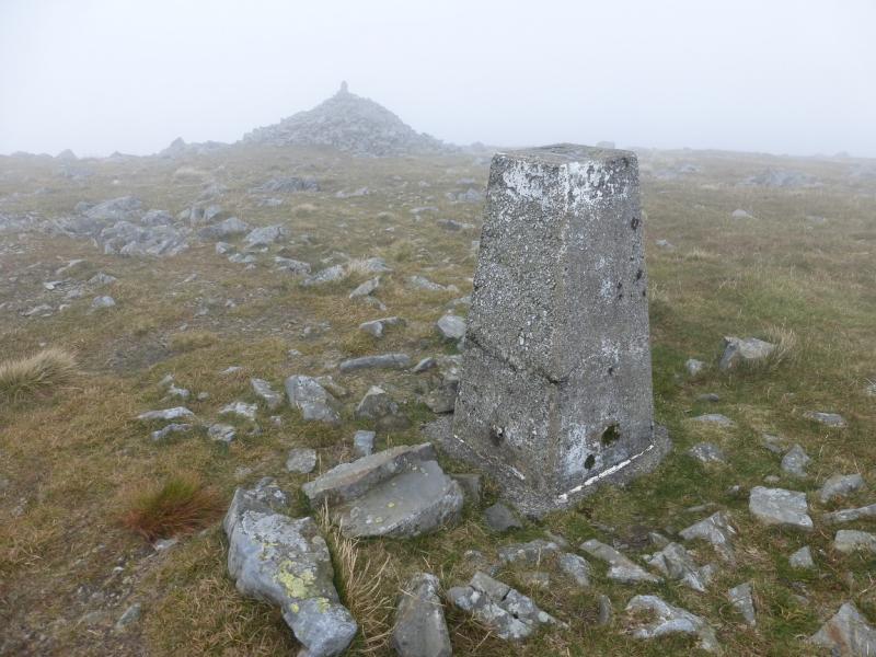
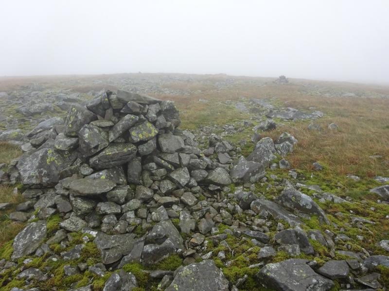
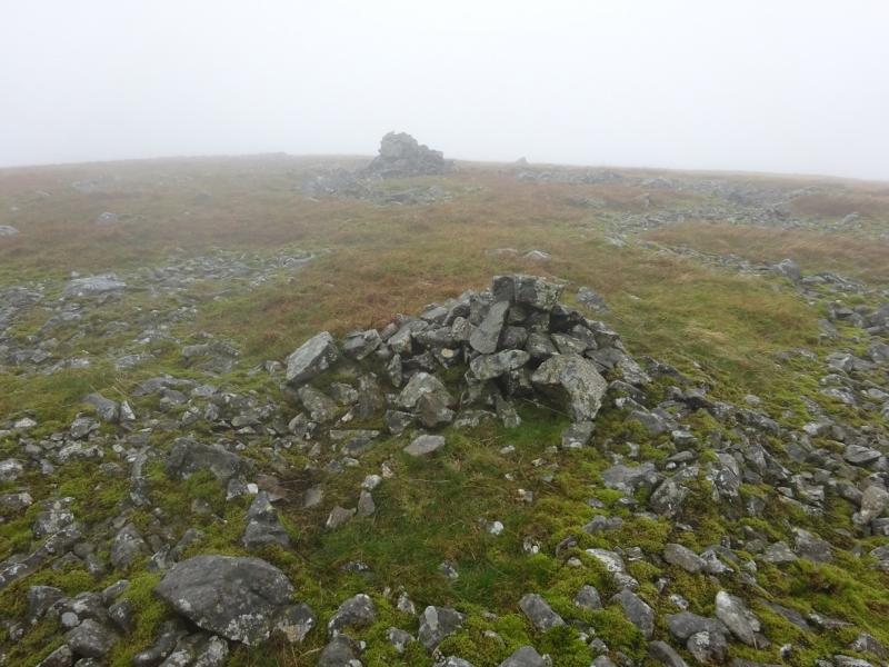
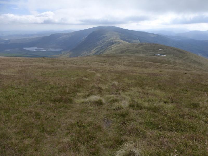
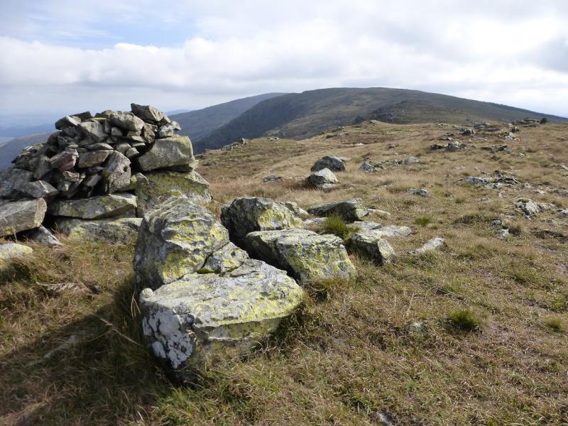
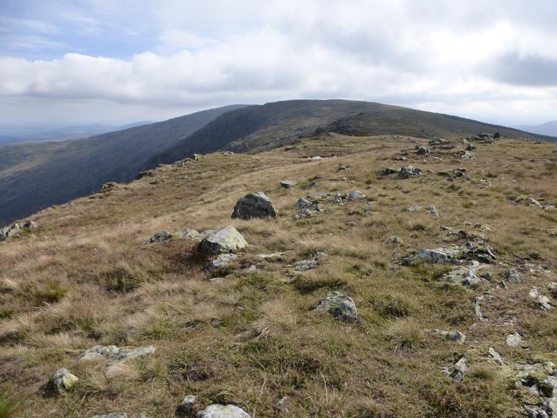
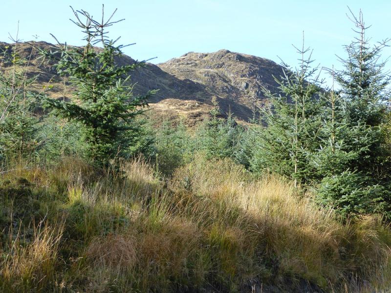
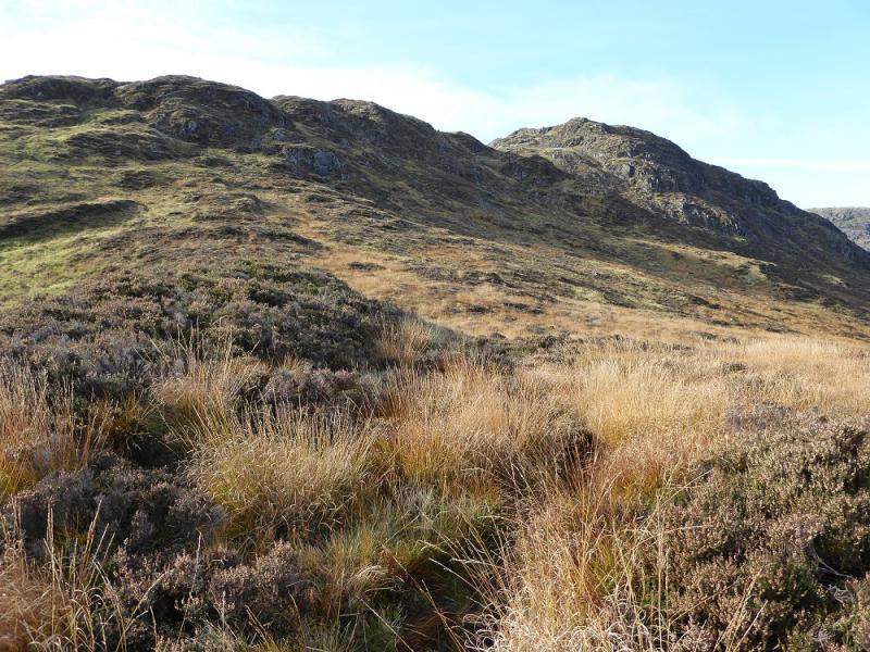
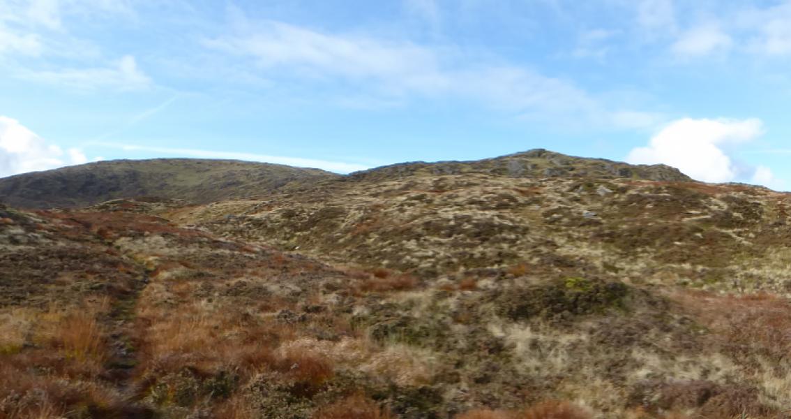
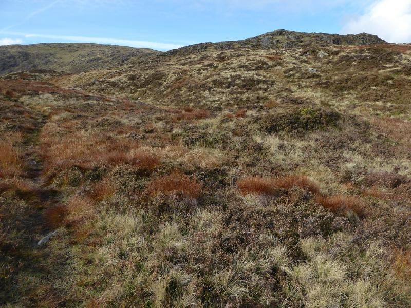
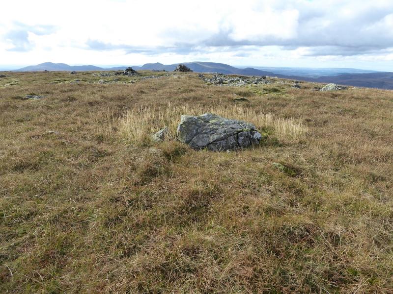
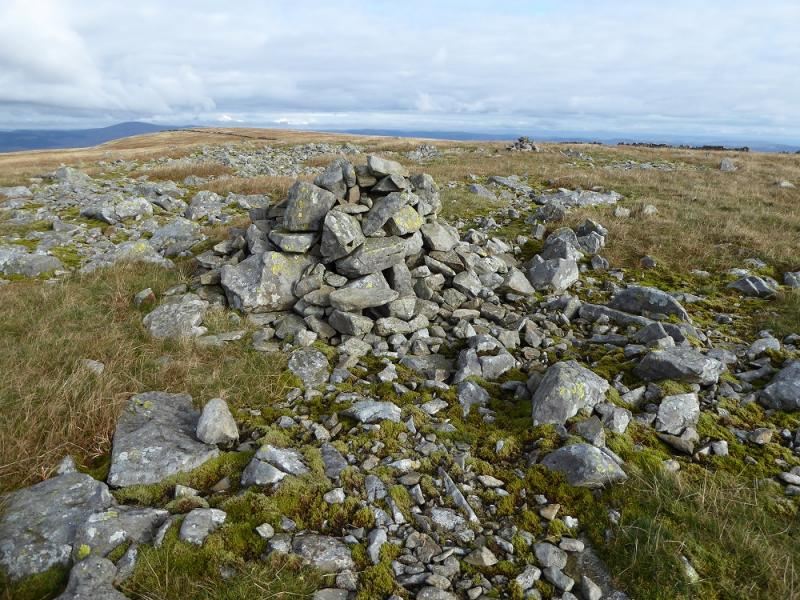
Corserine is the highest point on a long ridge known as the Rhinns of Kells which stretches from Corran of Portmark in the north to Meikle Millyea in the south with Corserine roughly halfway. With suitable transport arrangements, it is possible to walk the whole ridge but with just one car it is better to split the ridge into two sections. This route covers Meikle Millyea only, especially for those who need to revisit it after its summit was moved! The whole ridge contains nine distinct tops but Corserine is the only Corbett and there are no Grahams on the ridge as all the other tops have less than 150 m drop on all sides. However, the ridge contains many Donalds. This is a pleasant walk which is mainly on grassy paths once the forestry is left. The paths are distinct enough to follow but it would not take much snow to hide them; they can also be quite boggy in wet weather. The only short steep section is on the lower ridge of Meikle Lump when ascending and descending from Meikle Millyea where care is needed on slippery ground with some exposed rock but there is nothing technical. The forestry has many more tracks than are shown on the OS map. An accurate map is displayed in the car park at the start and this has been included in the photos for those who wish to enlarge and print it. All the tracks seem to have names and there are useful signs on the outward route but few on the return. On a clear day, one can see the Merrick range, Craignaw, Dungeon Hill, Mullwharchar and the Cairnsmore of Carsphairn. Note that, following a survey in 2015, it was found that the highest point on Meikle Millyea is no longer the trig point but an embedded rock about 400 m to the south south west.
Route
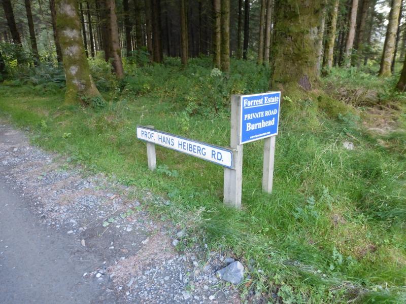
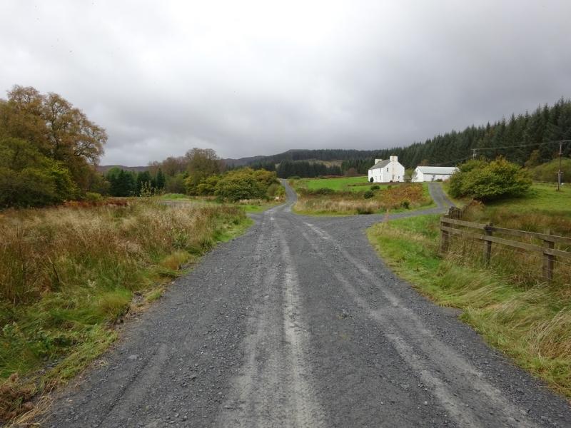
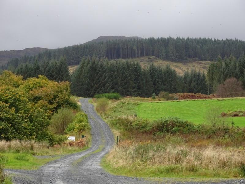
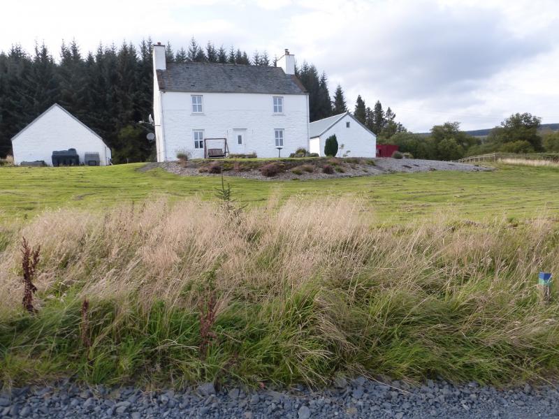
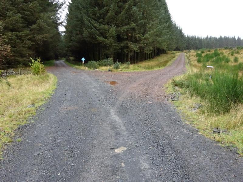
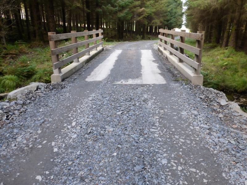
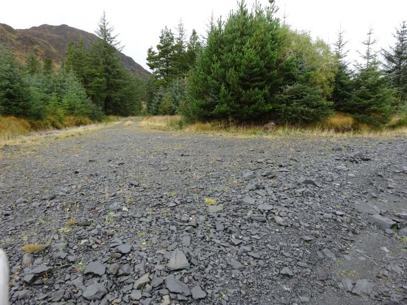
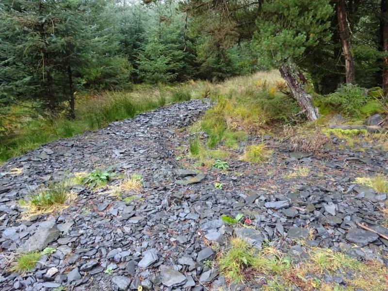
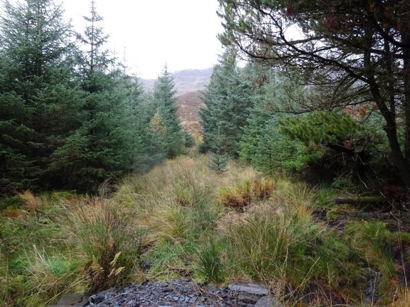
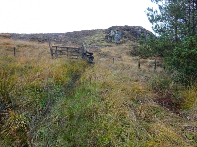
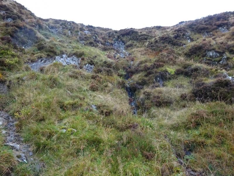
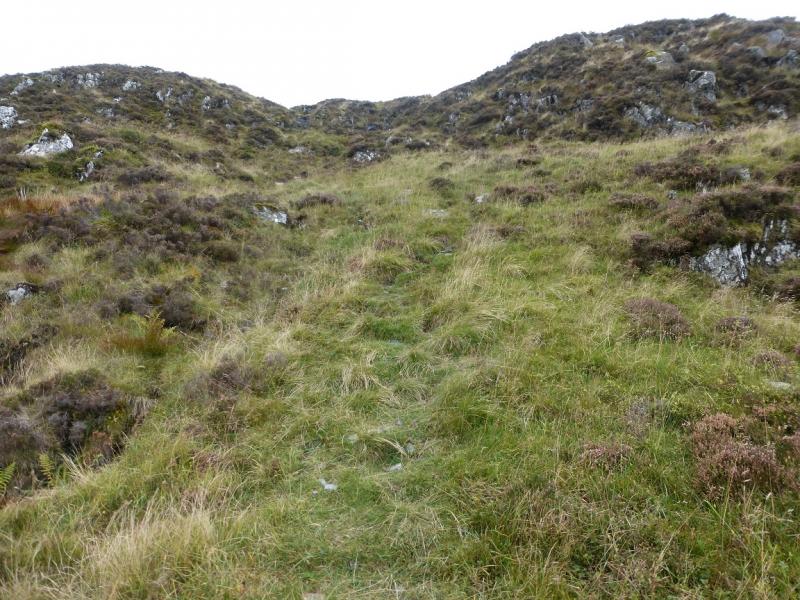
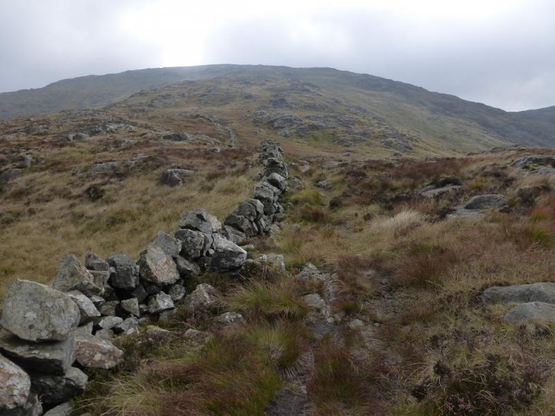
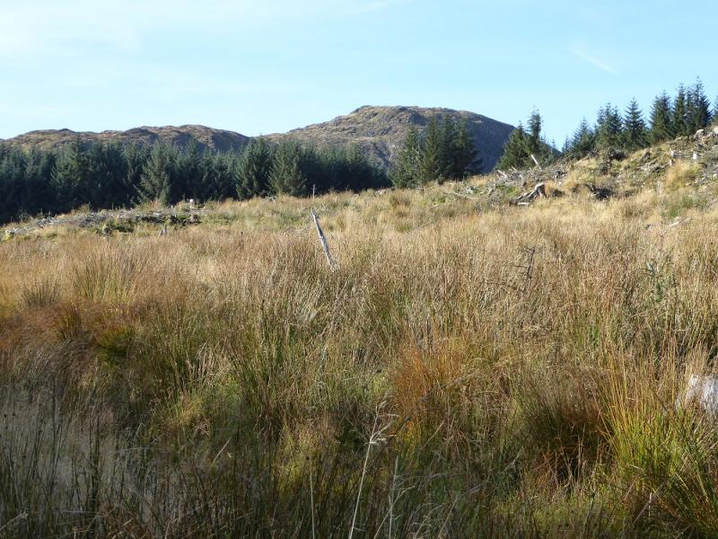
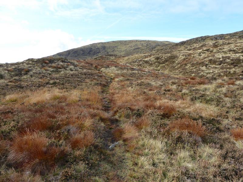
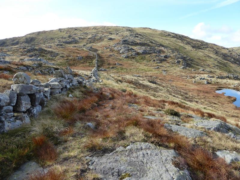
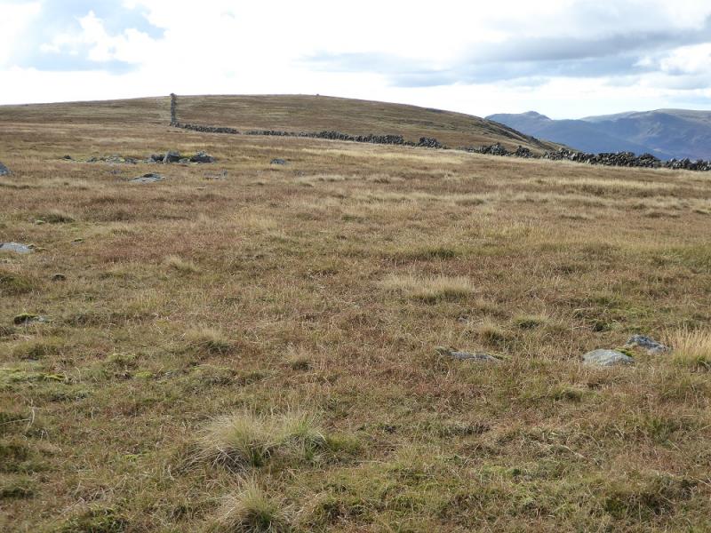
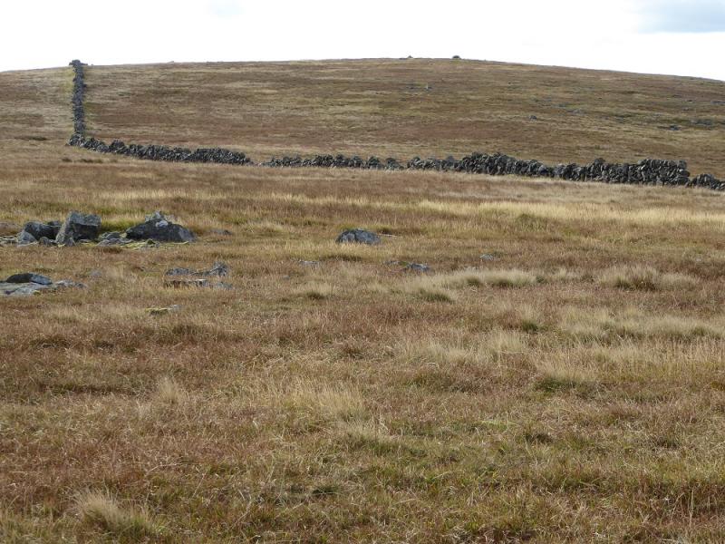
(1) From the car park, walk up the signed Prof. Hans Heiberg Road. Soon emerge from the forest and pass the house at Burnhead. Soon after, re-enter a short section of forest and cross the bridge over Mid Burn. Emerge from the forest and continue ahead, ignoring all turnings. Further on is another sign confirming you are still on Prof. Hans Heiberg Road. Cross Kristin Olsen Road just before entering more forestry. The track now goes around several bends before a minor track forks off left. Take this and, almost immediately, reach a firebreak on the left which has some slate chippings at its start. Go through the short but boggy firebreak to reach a stile which gives access to the open hillside below Meikle Lump. A path leads up with a wall well to the left. The path has a few steep sections and some exposed eroded rock but there are no technical difficulties. Eventually the path meets the wall and follows it up with the odd small detour around some boggy spots. Reach the wall coming from the N. The “old” large summit cairn and trig point are close by. The “new” summit appears to be further S so follow the wall across a very shallow dip up to the next rise, about 400 m, then look for a medium and small cairn about 80 m to the NW which are the obvious candidates for the highest point of Meikle Millyea, 748 m. There are a few embedded rocks nearby which might be higher than the bases of either cairn!
(2) Retrace the outer route taking care on the steep sections above the forest.
Notes
(a) This walk took place on 17th October, 2016.
(b) The whole ridge was walked about 20 years ago in the early 1990's.
Photos - Hover over photo for caption. Click on to enlarge. Click on again to reduce.