Get Lost Mountaineering
You are here: Scotland » 00 Galloway and the Borders » Lowther Hills
Queensberry, Earncraig Hill & Gana Hill from Mitchellslacks
Queensberry, Earncraig Hill & Gana Hill from Mitchellslacks
Start/Finish
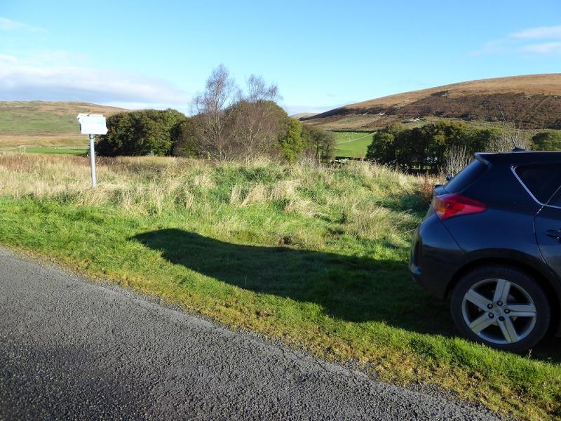
Minor road which passes Mitchellslacks farm entrance at NX 965 959 on sheet 321. The post code, for those wishing to use Sat Nav is DG3 5EN but this is also shared by other nearby farms including Locherben. However, Sat Nav is very useful as the roads around these parts are quite complicated to follow! Depending on where one is coming from, the A76, Sanquhar to Dumfries road is left at Carronbridge, Thornhill or Closeburn. Access also seems possible from Ae. Parking is extremely limited. There is space for one or maybe two cars (if small) by the Scottish Rights of Way sign just to the north of the entrance to Mitchellslacks. If these have been taken, then one may have to go some distance along the minor road to find a sensible parking spot. Remember that wide farm vehicles use this road.
Distance/Time
19 km. About 7 – 8 hours.
Peaks
Queensberry, 697 m, NX 989 997.
Earncraig Hill, 611 m, NS 973 013.
Gana Hill, 668 m, NS 954 010.
OS Explorer sheet 321: Nithsdale & Dumfries. Thornhill.
OS Explorer sheet 329: Lowther Hill, Sanquhar & Leadhills.
Introduction
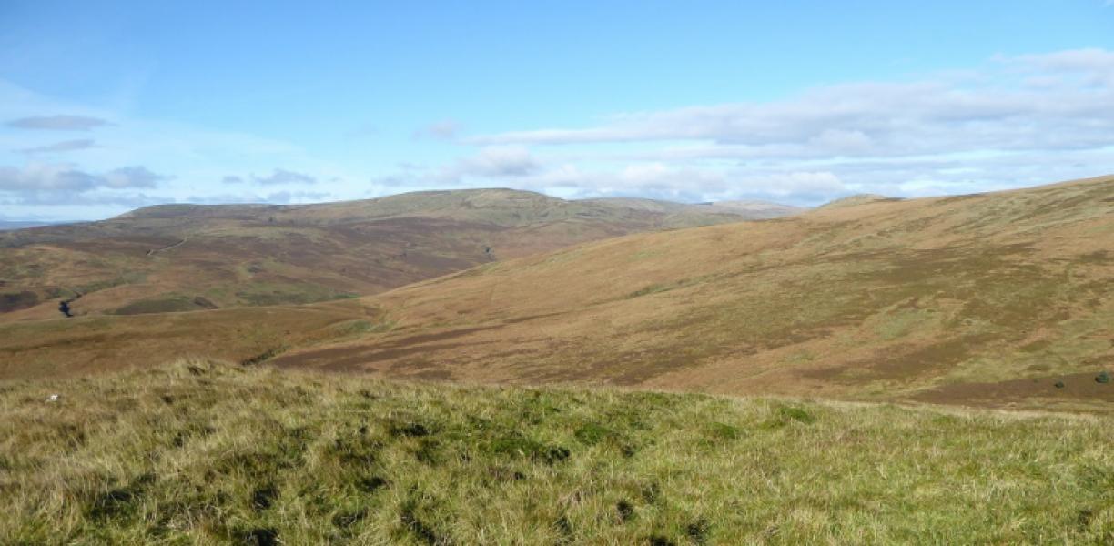
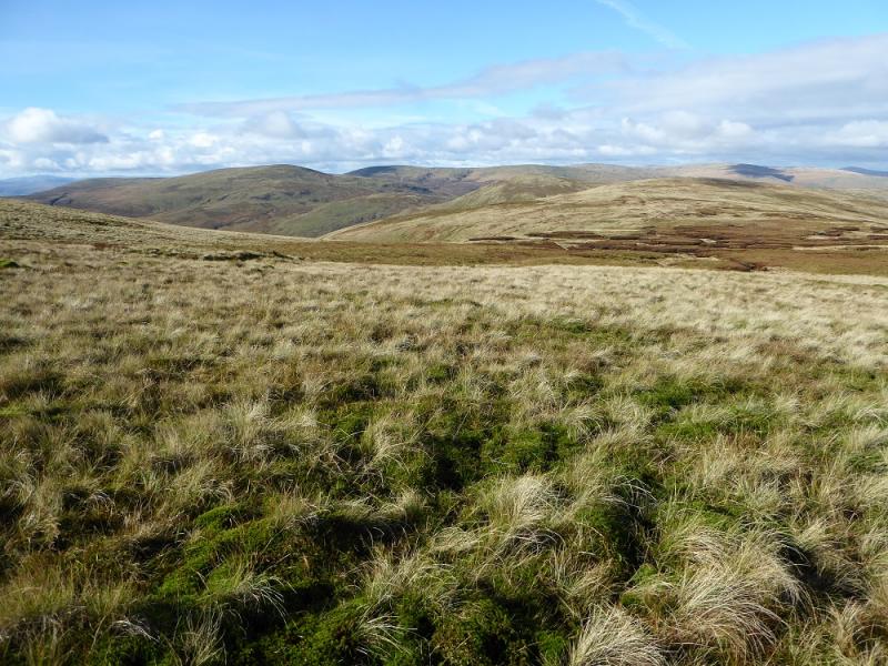
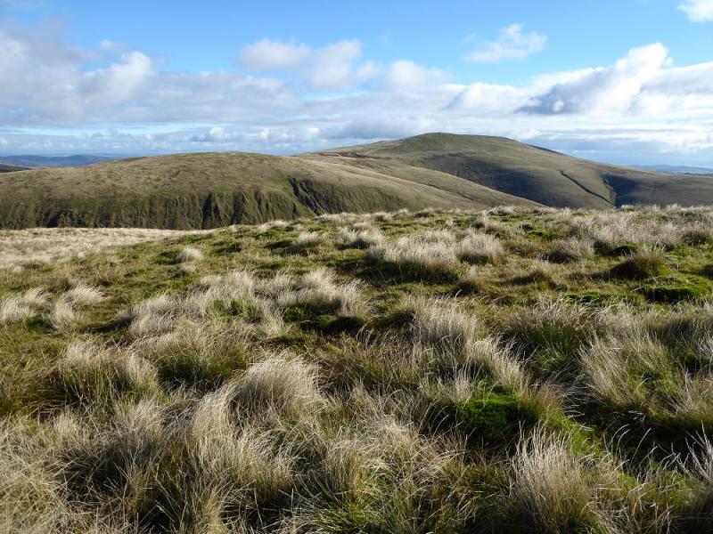
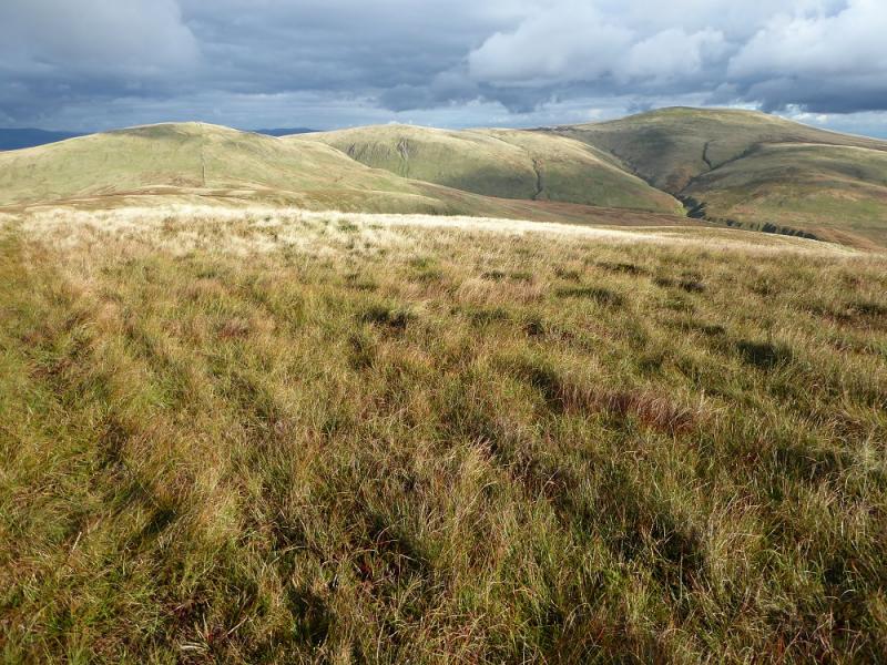
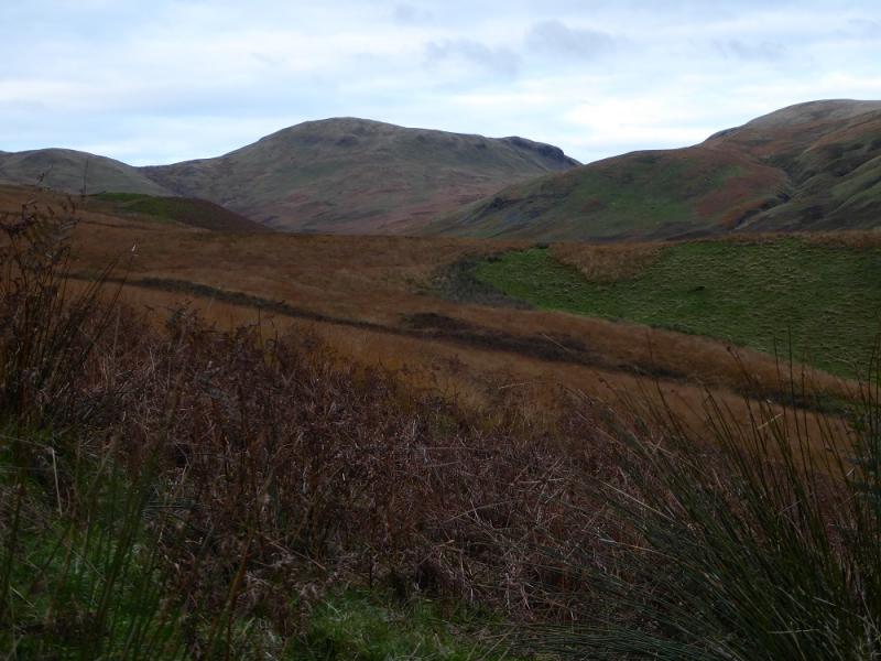
This round of one Graham and two Donalds is a lot tougher than one might expect with much rough and pathless ground. It is essentially a round of the Capel Burn catchment basin. The hills are mainly grassy but there are some steep slopes. There are good views but mainly to the hills within this route.
Route
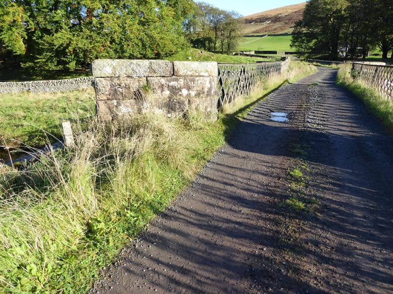
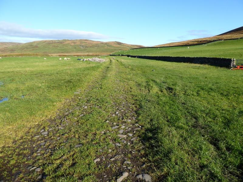
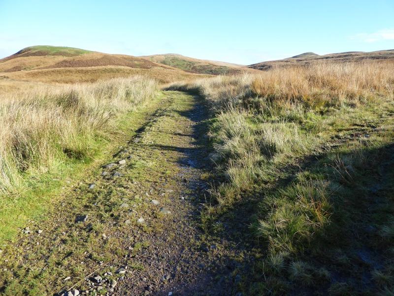
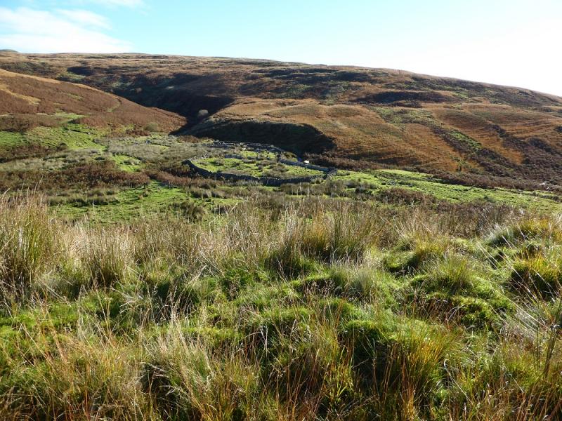
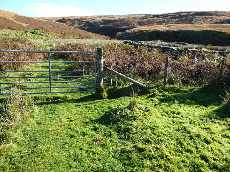
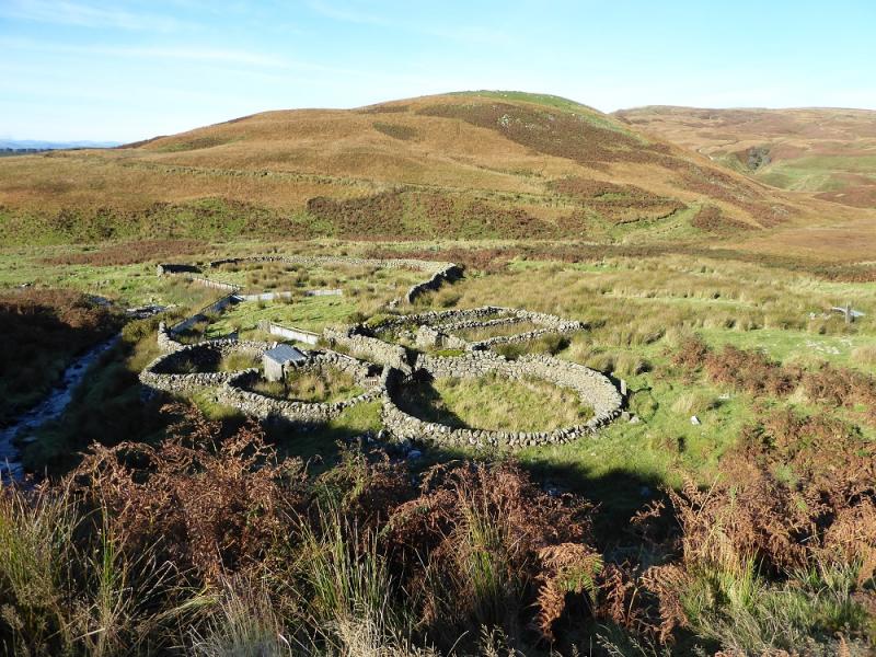
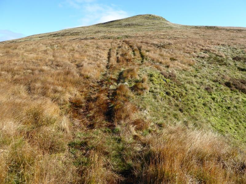
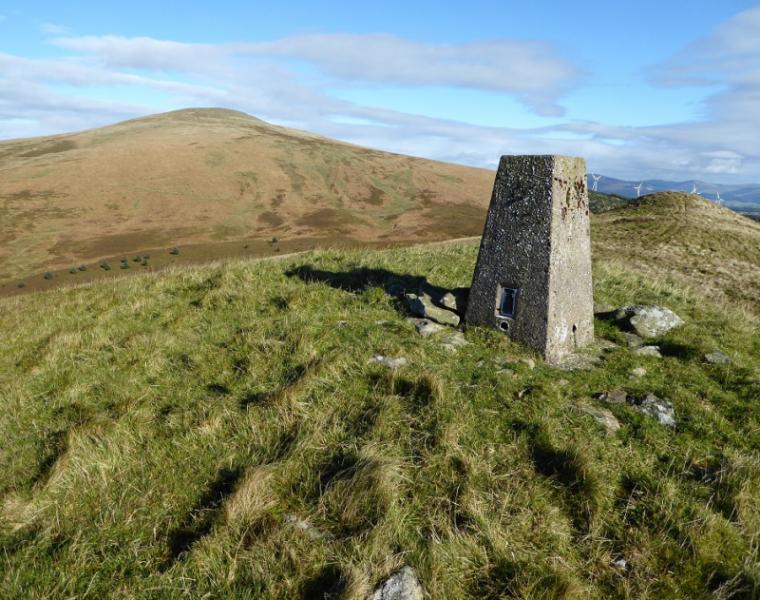
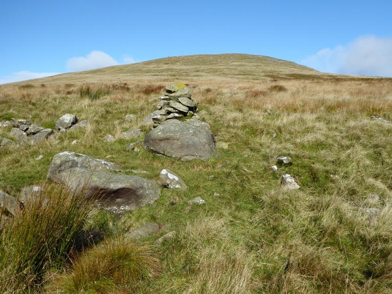
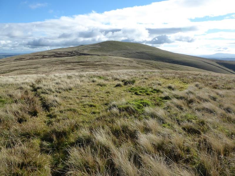
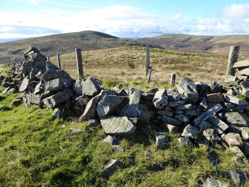
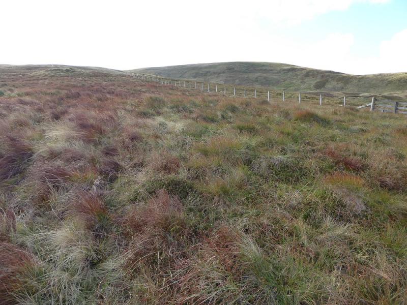
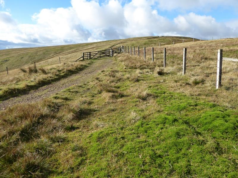
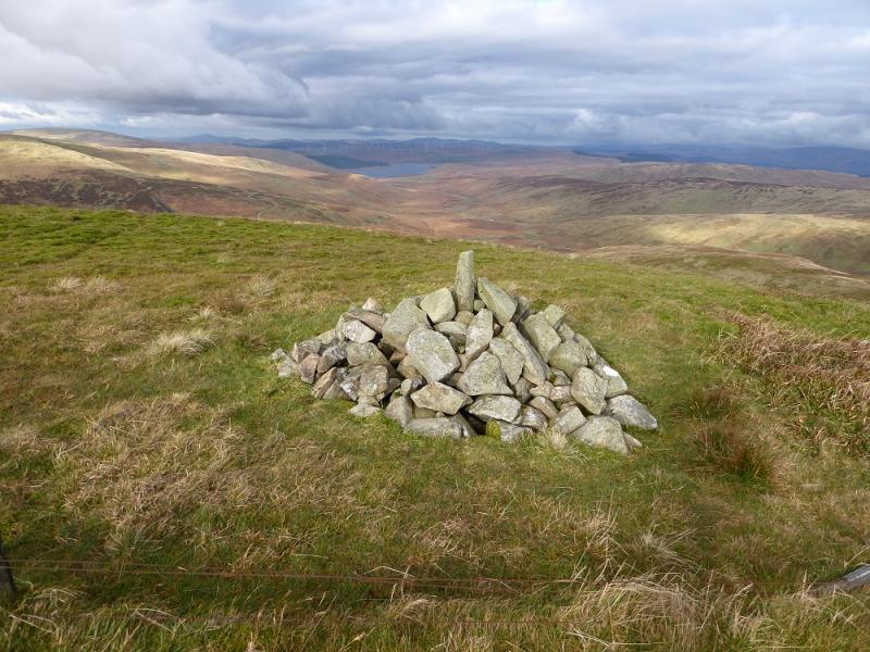
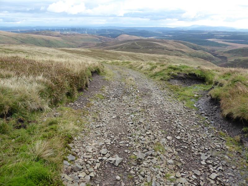
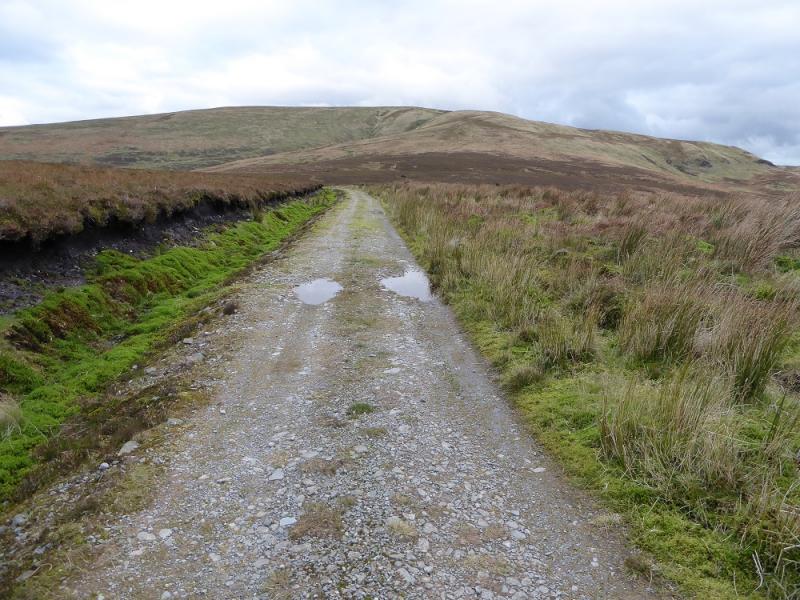
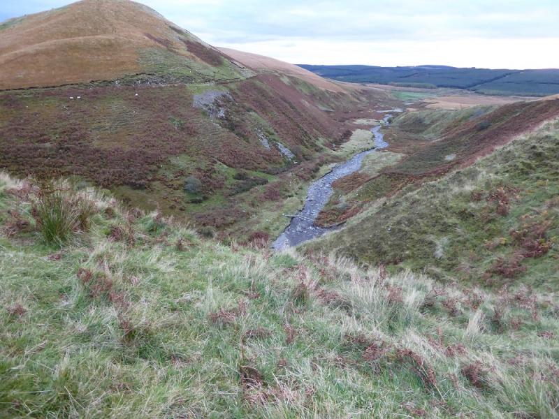
(1) Walk NW, a little way past the right of way sign, and descend the bank on a twisting grassy track to gain the track to Mitchellslacks at the bridge over the Capel Burn. Follow the track left into Mitchellslacks and continue, through a gate, on to a grassy track through a field. Follow this to soon be on a more obvious track. Further on, the track forks, take the right fork. The return will use the left fork. Follow the right fork to almost below The Law, ignoring two tracks going off right before then. Take a grassy track going around the right hand side (S & E) of The Law. This descends then cuts back towards the obvious pens to pass through a gate which leads around the N side of the pens then crosses a minor stream and starts to climb before levelling off and heading SE/E below High Church. One can leave the track and head straight up on to the crest or continue until at the foot of a miniature dry valley which leads directly up the summit where there is a prominent cairn. Follow the rough ridge N over Craih Hill. A deep gap lies directly ahead to Wee Queensberry but this can be avoided by going around to the W then walking up straightforward slopes to reach the trig point on Wee Queensberry. Continue NE to a lower cairn then try to find an ATV track which leads down to the col before Queensberry. The track “disapppears” lower down before becoming more obvious higher up. Follow it up until it becomes too faint then drift left, towards a cairn, where a faint path should be found which can be followed on to the flat summit area with the large cairn at the far end which is the summit of Queensberry, 697 m.
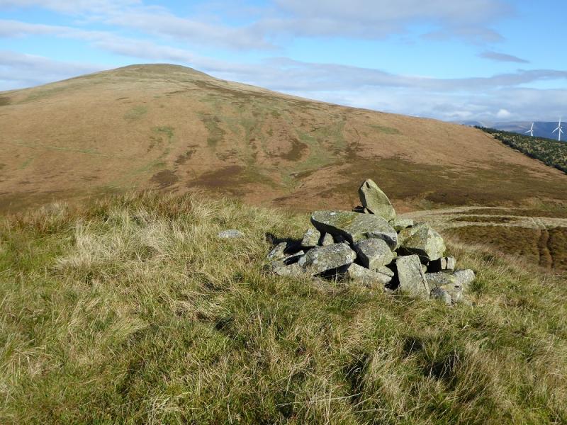
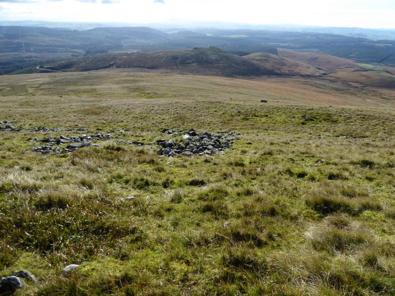
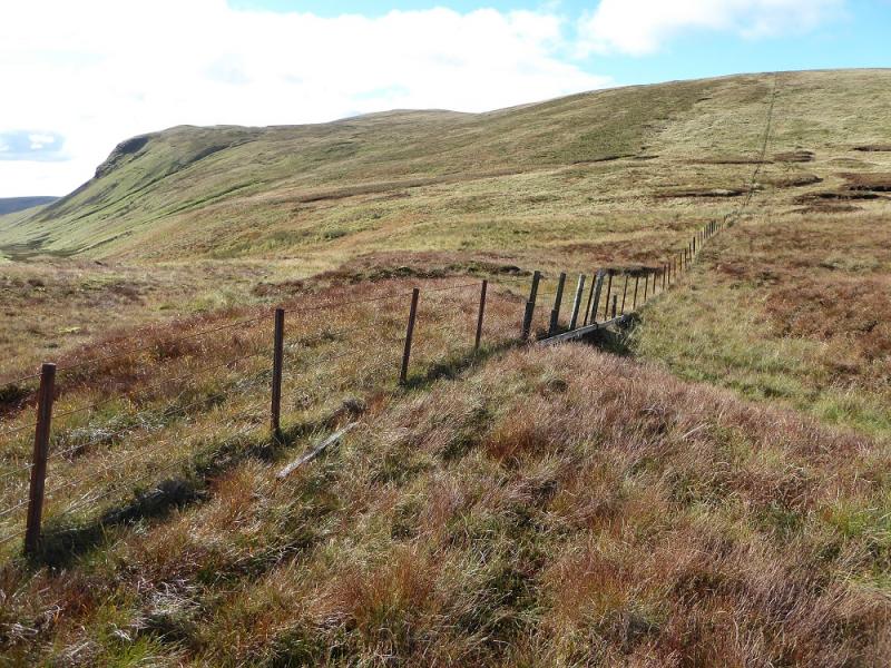
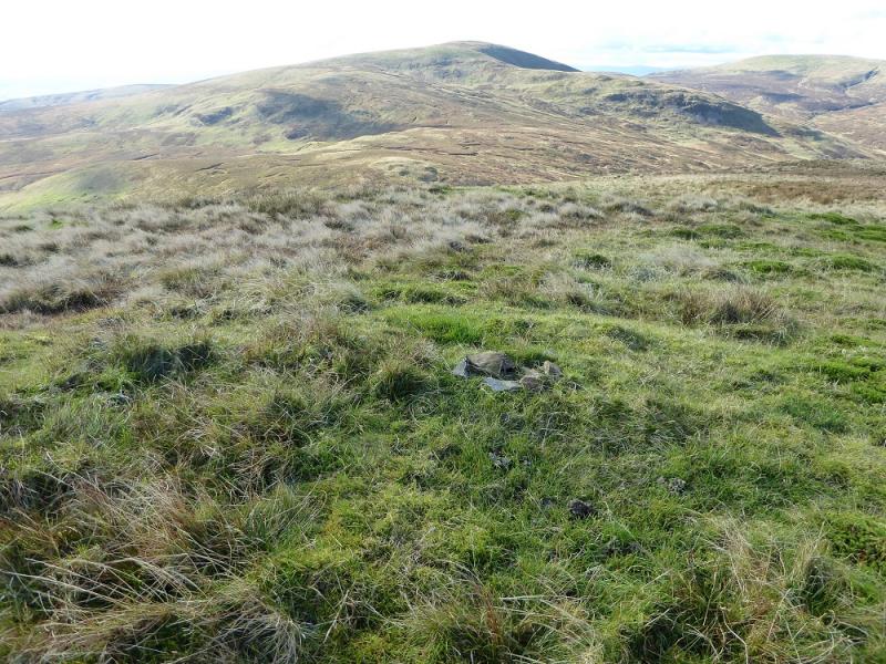
(2) Descend N, heading for a fence but not quite reaching it. There is a peaty col which is fairly easy to walk through then ascend up Penbreck, finally converging with the fence near the highest point. There is no summit cairn but the highest point seems to be on a fence corner where the fence turns N. Follow the fence N with a steep descent lower down into the col where the fence turns W. Follow it up on to Berry Rig which is the NE ridge of Earncraig Hill and then follow it up until it becomes a wall, about where it meets another fence. The highest point on the wall is a little further on from the fence junction but this may not be the summit which could be about 50 m NW of the highest point of the wall and where a tiny cairn could mark the summit of Earncraig Hill, 611 m.
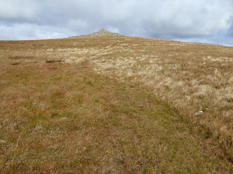
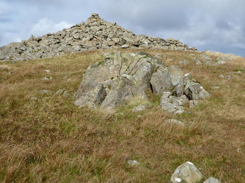
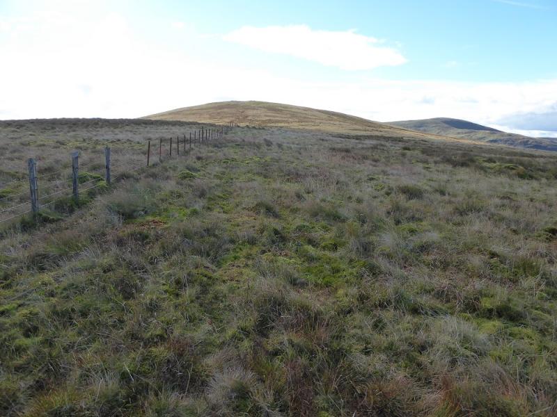
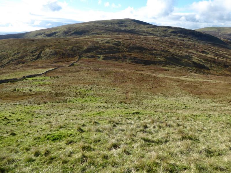
(3) Follow the wall down, roughly WSW. The ground is steep in places and it is probably easier to keep the wall to your left then go right when the ground steepens. Continue down the wall which also has a barbed wire fence running alongside it. Keep going, right into the corner where the fence turns N in the col known as Daer Hass. There is a normal fence in the corner to climb over easily. Continue ahead and follow an obvious ATV track which winds around (some mossy and boggy patches) before meeting the fence going up the NE ridge to Gana Shank. Follow the fence up and, eventually, meet the obvious track coming up Gana Shank. Follow this track uphill until it levels out. There is a cairn on the fence which may be the highest point although not obviously so as the ground may be slightly higher a few metres to the W but this is the summit of Gana Hill, 668 m.
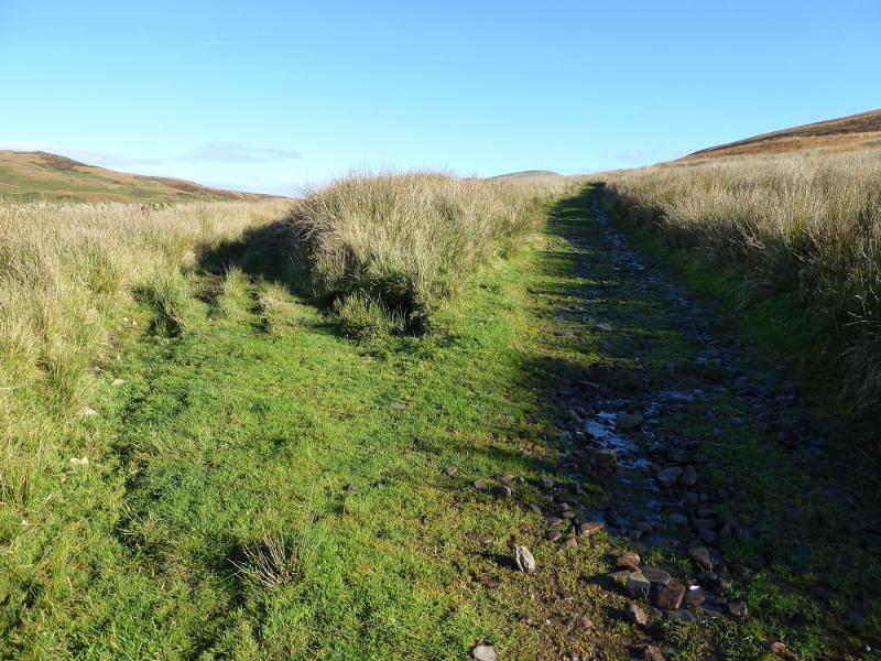
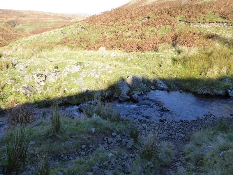
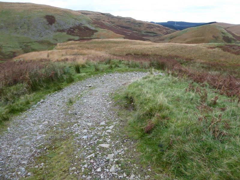
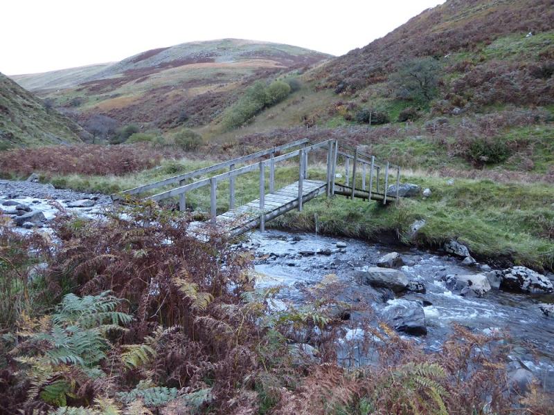
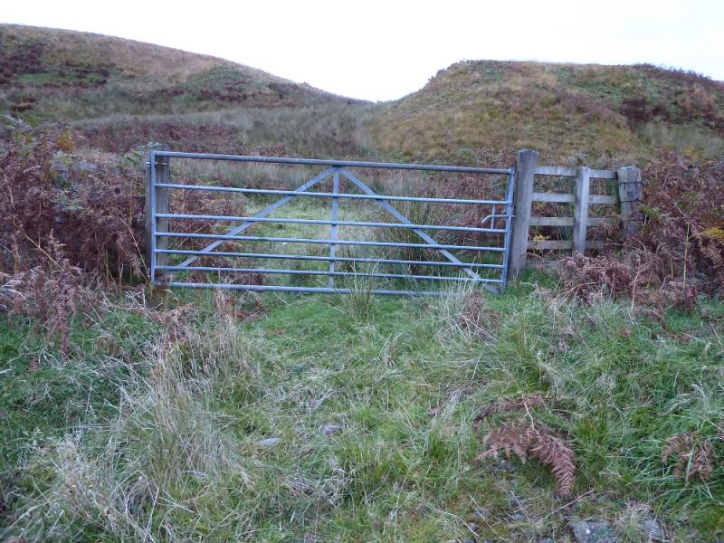
(4) Retrace down the track (may not be shown on some maps) and stay on it as it descends the long S ridge of Gana Shank, weaving around as it does. A slight ascent takes one over Hard Hill then Haggie Hill. When the tracks goes around a right hand hair pin bend, stay on it, ignoring a path continuing ahead. Follow the track down until a very wide gully appears with The Law SW of here. There is a bridge at the foot of this gully so leave the track at a suitable point and carefully pick a way down the steep bank. Cross the bridge then follow a faint path downstream. This eventually leads to a gate, through which is a track which leads back to the left fork ignored on the outward route. Continue back to the start.
Notes
(a) This walk took place on 19th October, 2016.
Photos - Hover over photo for caption. Click on to enlarge. Click on again to reduce.