Get Lost Mountaineering
You are here: Scotland » 00 Galloway and the Borders » Ettrick Hills
Ettrick Pen, Croft Head & Capel Fell from Ettrick Valley
Ettrick Pen, Croft Head & Capel Fell from Ettrick Valley
Start/Finish
Turning circle at the end of the public road up the Ettrick Valley which leaves the B709 road from Selkirk to Langholm at Ettrick which should not be confused with Ettrick Bridge which is about 10 miles further north! Parking is very limited so try to park considerately.
Distance/Time
20 km. About 6 – 7 hours.
Peaks
Ettrick Pen, 692 m, NT 199 076.
Hopetoun Craig, 632 m, NT 187 067.
Wind Fell, 665 m, NT 178 061.
Loch Fell, 688 m, NT 170 047.
West Knowe, 672 m, NT 163 052.
Croft Head, 637 m, NT 153 056.
Capel Fell, 678 m, NT 163 069.
Smidhope Hill, 644 m, NT 168 076.
White Shank, 622 m, NT 169 082. Explorer 330: Moffat & St. Mary's Loch
Introduction
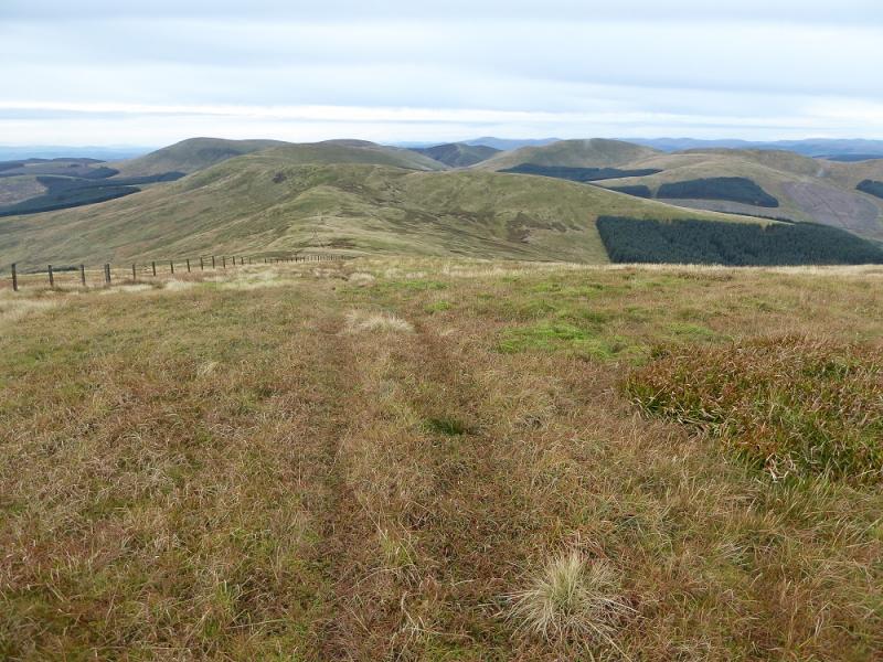
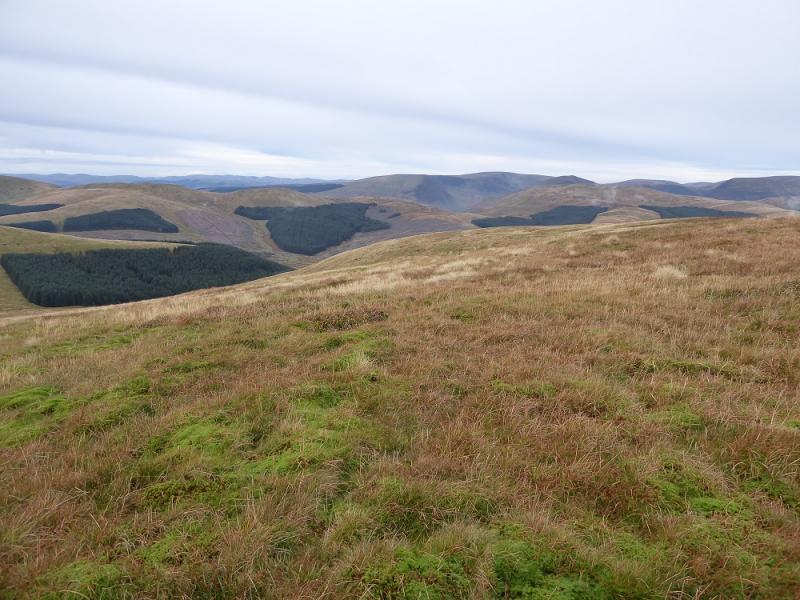
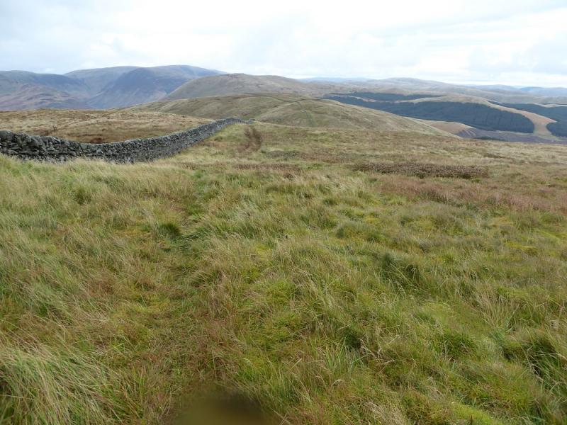
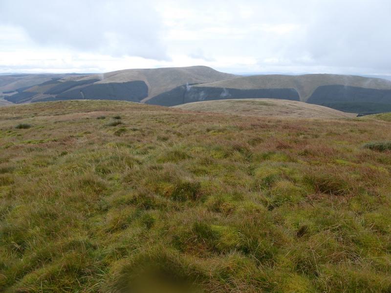
This is one of the few routes which includes three Grahams, not to mention two Donalds and four Donald Tops! It is quite a tough round but there are paths most of the way. There are excellent views of the other tops in the round as well as to the Hart Fell and White Coomb ranges to the north. Bodesbeck Law is also prominent to the east of White Shank.
Route
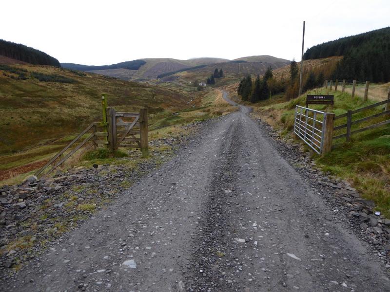
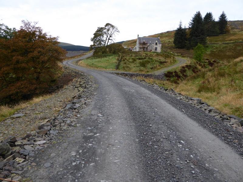
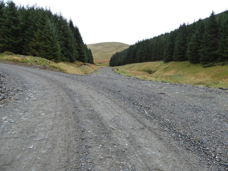
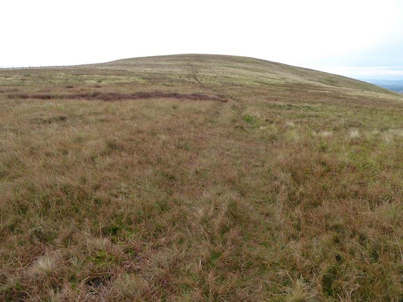
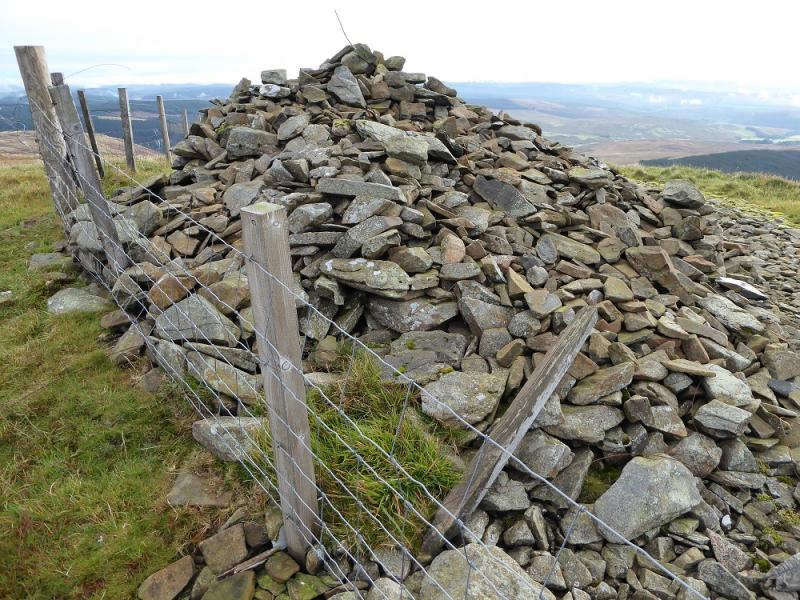
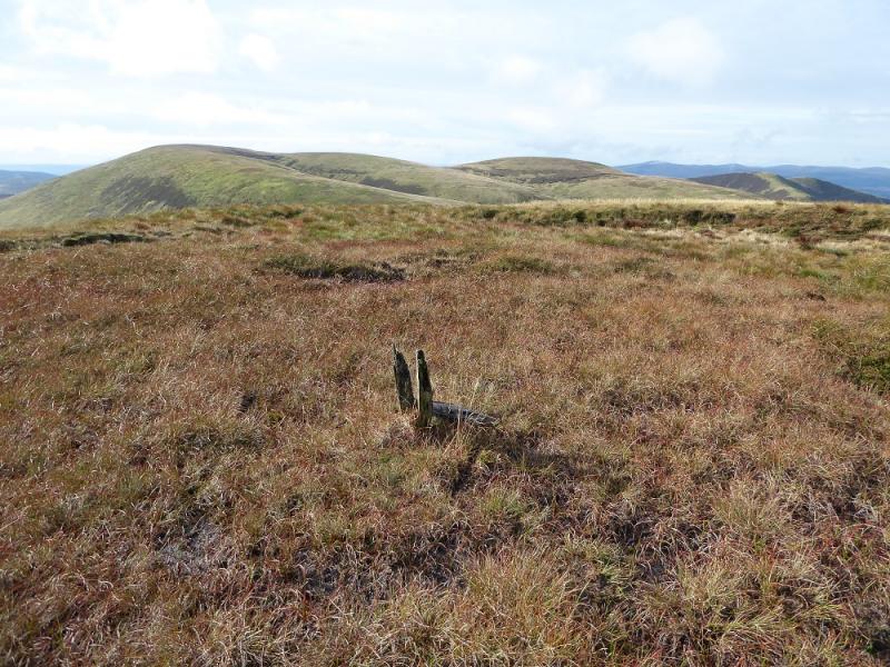
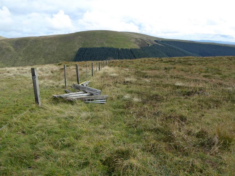
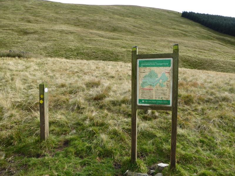
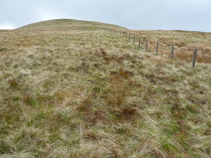
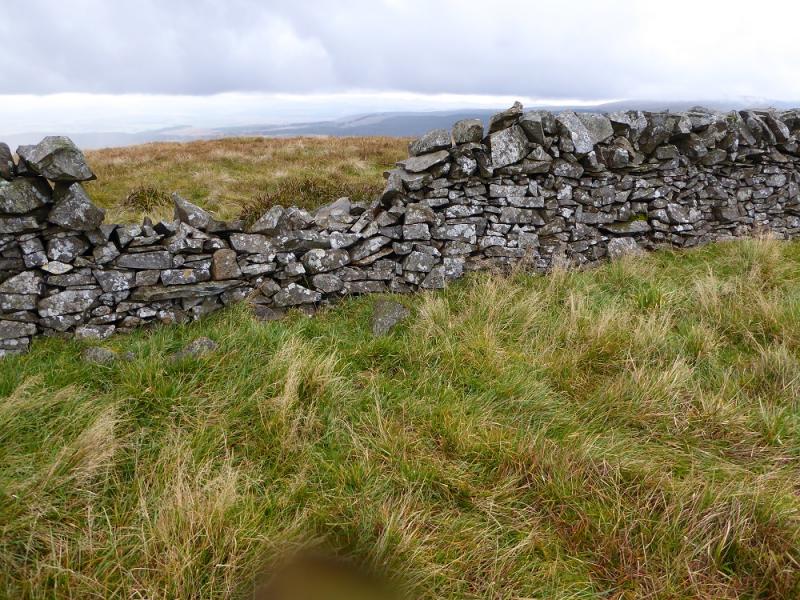
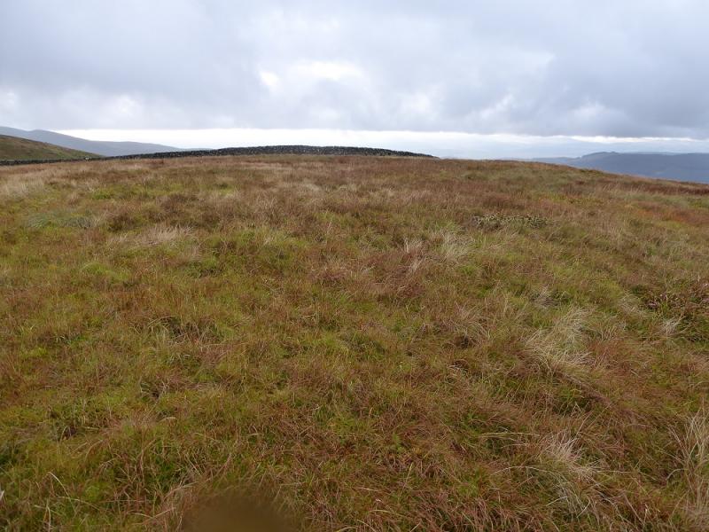
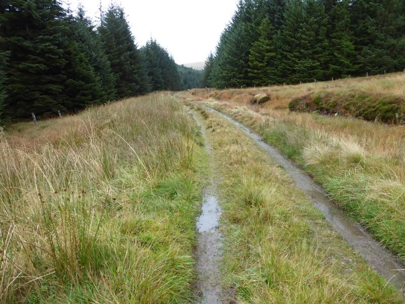
(1) Continue on the track beyond the end of the road and pass the old building (seemingly being restored on 21/10/2016) at Potburn. Cross the main burn and reach the bothy at Over Phawhope which is being improved by the |Mountain Bothies Association. Almost immediately, take the track going off left which soon crosses another stream. At a left hand bend, leave this track and continue ahead on a minor track. Follow this to its end above the forest where a faint path heads left and uphill. Follow this up moderately steep slopes until the gradient eases and an easy walk leads to the huge cairn which marks the summit of Ettrick Pen, 692 m.
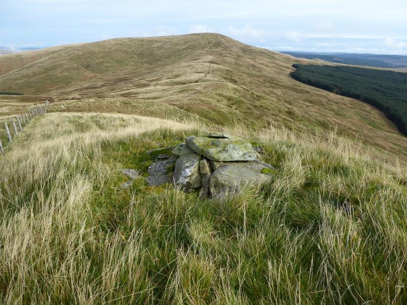
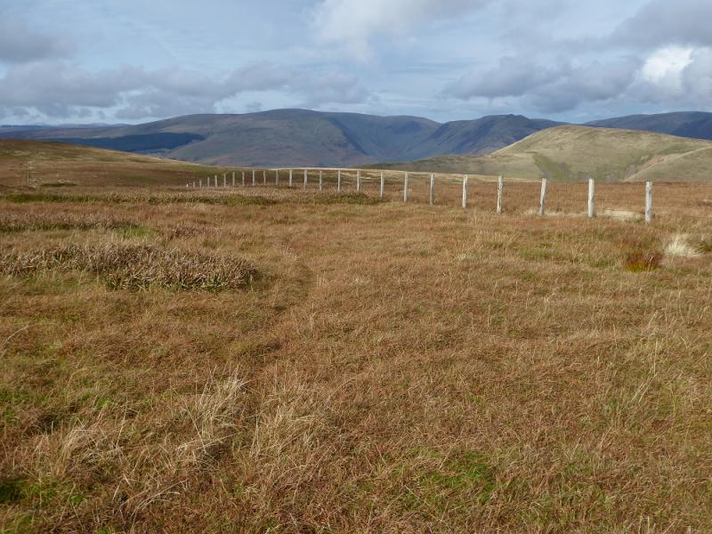
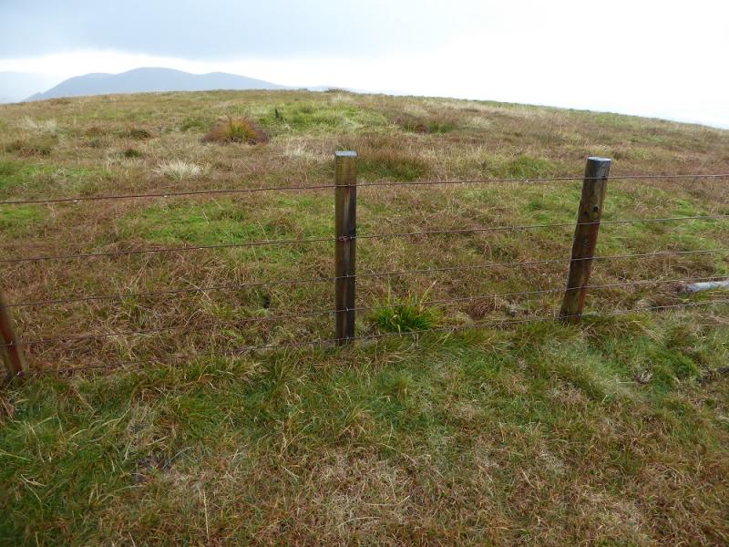
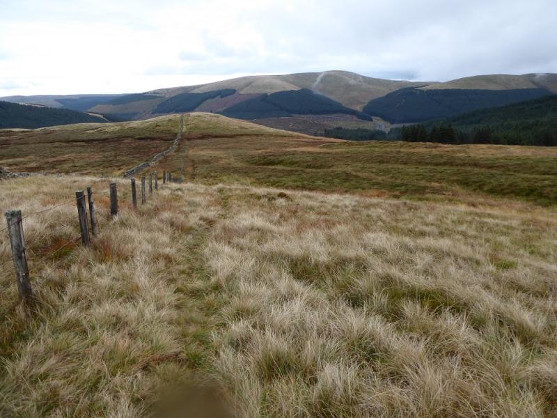
(2) Follow the fence running SW for about 1 km down into a col then up on to a level crest where a tiny cairn on the left, across the fence on the first “bump”, seems to be the summit of Hopetoun Craig, 632 m.
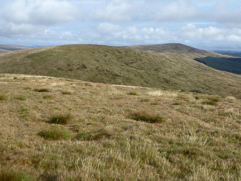
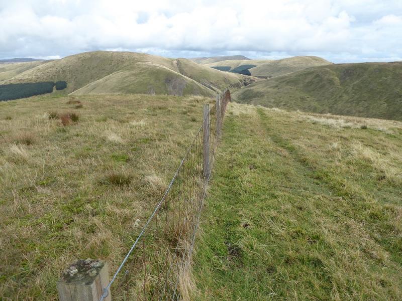
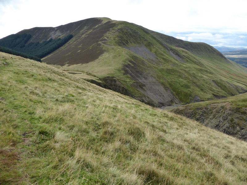
(3) Continue following the fence down then up a longer ridge on to Wind Fell whose summit has no cairn but the highest area should be fairly obvious in clear weather so this is Wind Fell, 665 m.
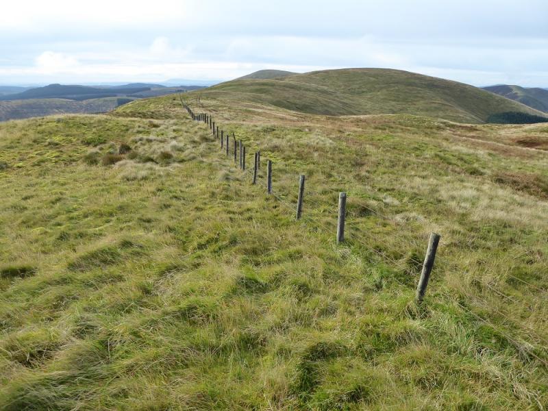
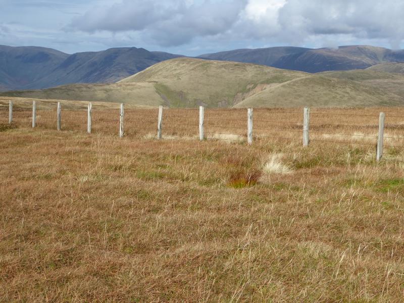
(4) Continue following the fence and descend into a deeper col known as Windfell Nick. The path goes up steeply on the other side to join a fence which leads up increasingly gentler slopes to reach a junction of fences and a trig point which is the summit of Loch Fell, 688 m.
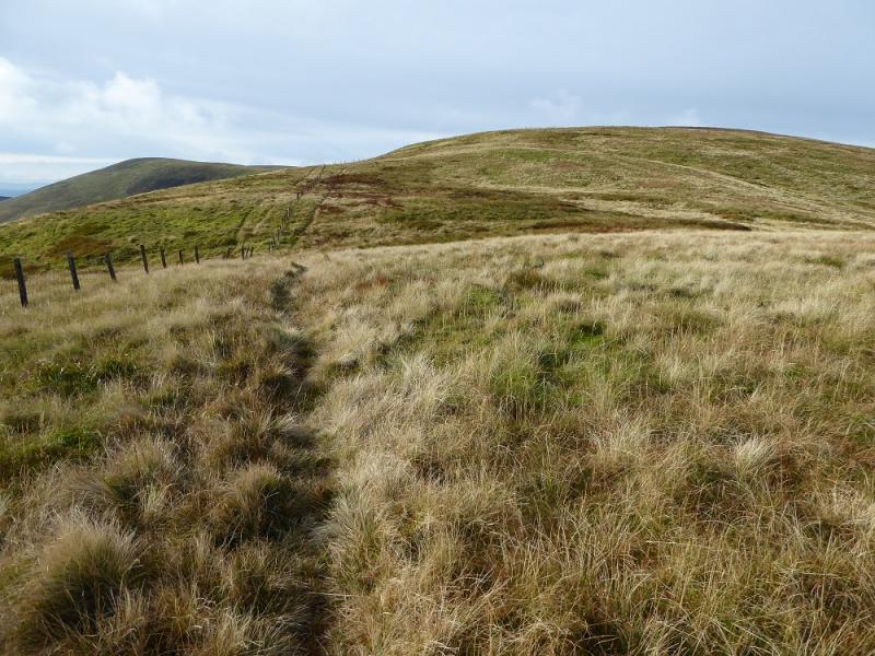
(5) Follow the fence NW down to a shallow dip then up to the next top where, again, there is no cairn with the highest ground appearing to be about 50 m SW of the highest point on the fence. This is West Knowe, 672 m.
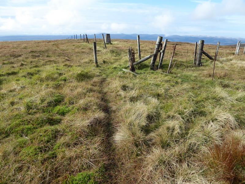
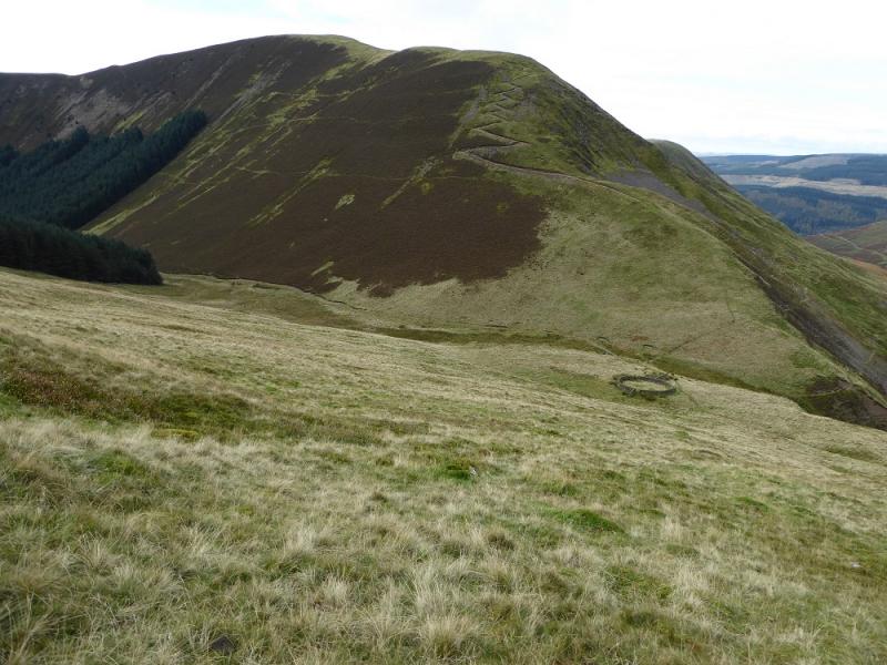
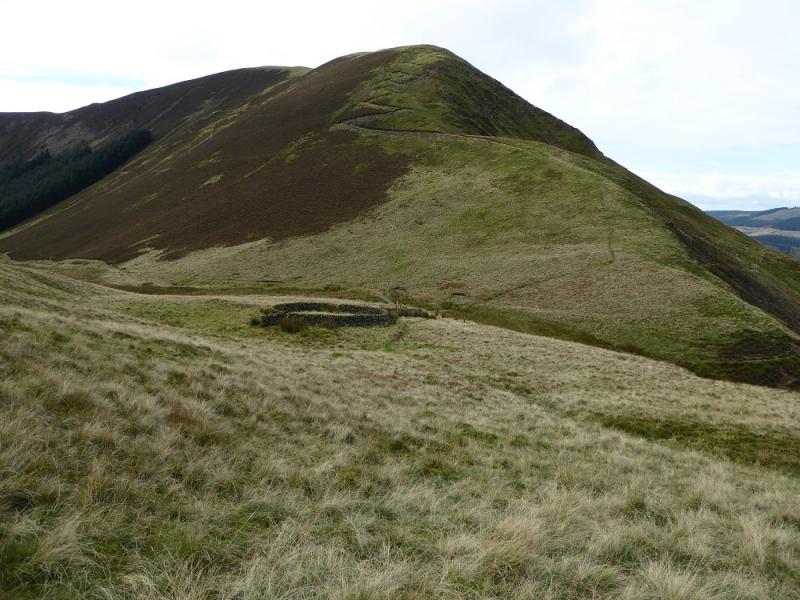
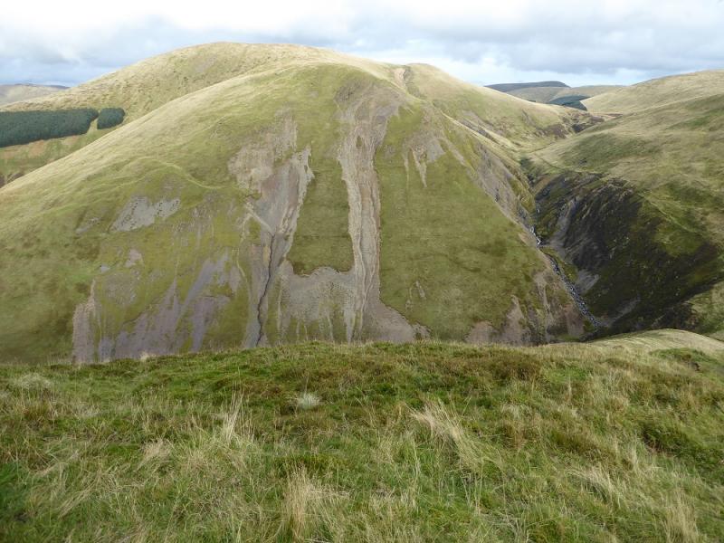
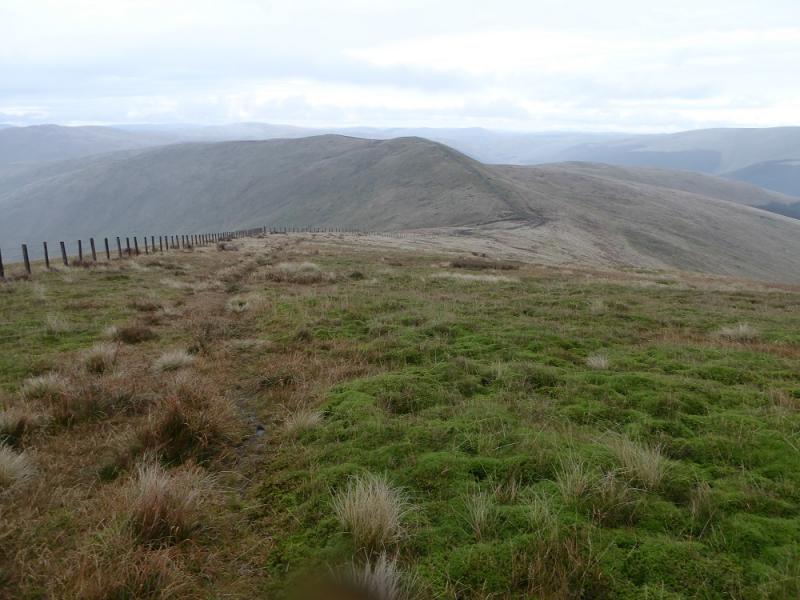
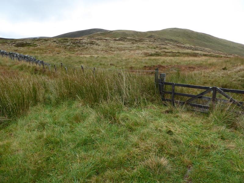
(6) Continue following the fence, keeping it on your left. The ground soon steepens considerably so drift N and aim for the circular sheep fold well seen from above on a clear day. Care will be needed during this descent until the angle eases and the sheep fold is reached. Just beyond this, a path heads W and this can be followed up. It soon becomes a series of zig zags and leads on to the crest known as Cat Shoulder. Continue up, SW, to reach a junction of fences. There is no cairn but this is the summit of Croft Head, 637 m.
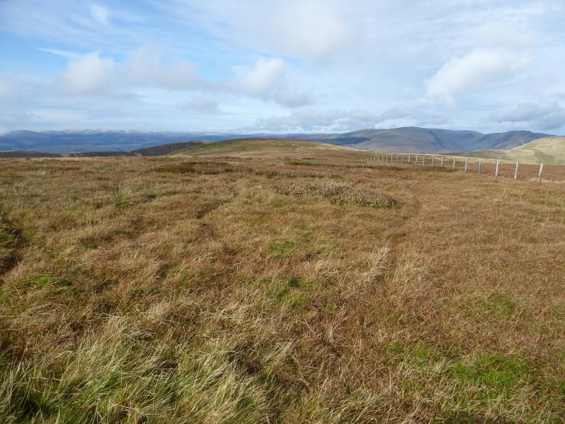
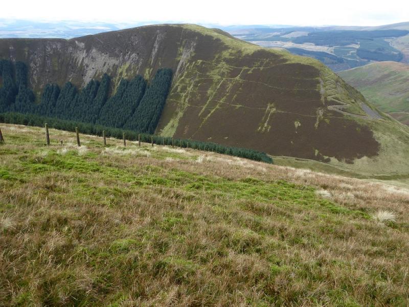
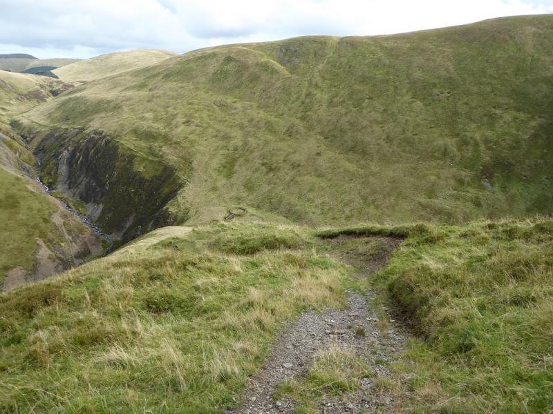
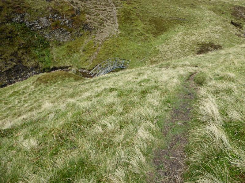
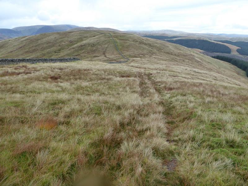
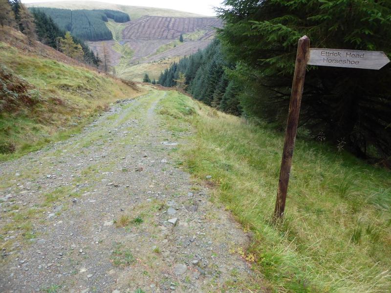
(7) Retrace down to the sheepfold then follow the Southern Upland Way NE underneath Capel Fell. The burn is crossed by a bridge then the path soon turns NE to reach a fence. Follow the fence up, NW, to a fence junction. Continue and soon reach the highest point, again no cairn, which is Capel Fell, 678 m.
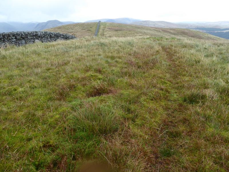
(8) Continue along the fence going N then NE and descend down to a col where the fence becomes a wall. Continue up. The highest point, close to a hole in the wall, is again unmarked and is the summit of Smidhope Hill, 644 m.
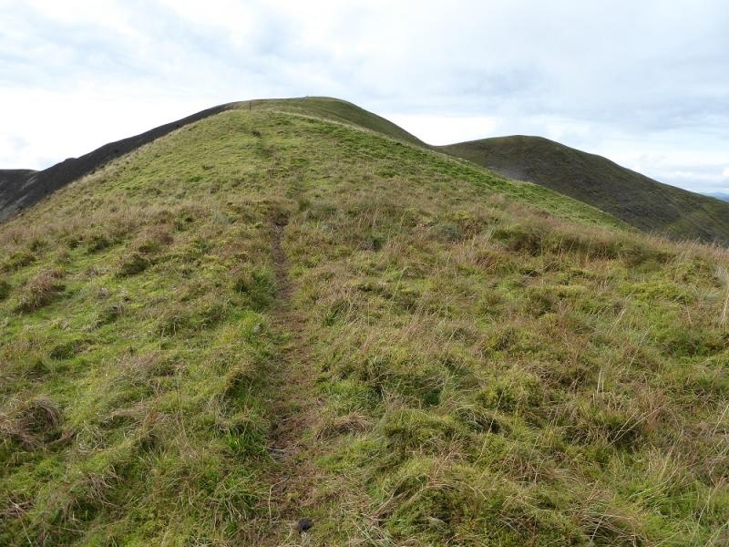
(9) Continue following the wall, almost due N, down to a col then up where the highest, unmarked, point is the summit of White Shank, 622 m.
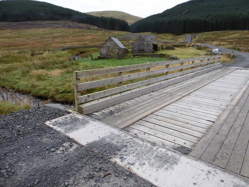
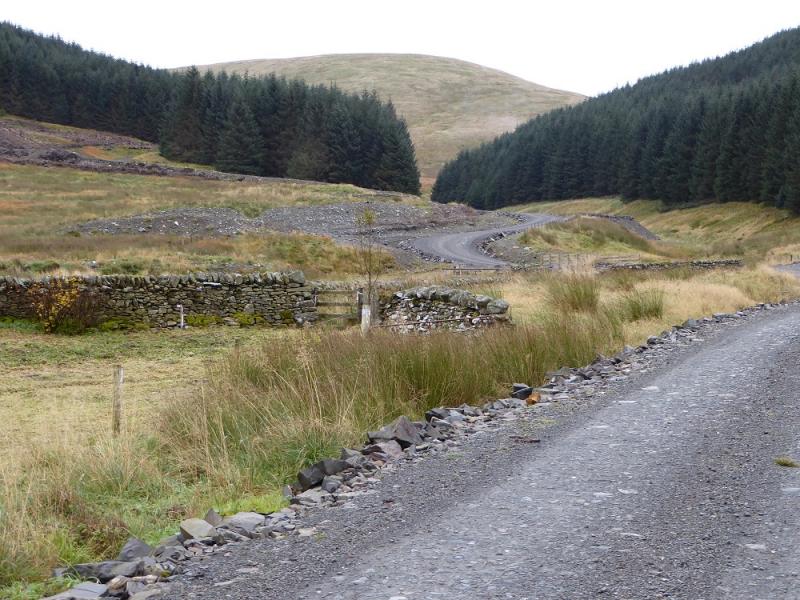
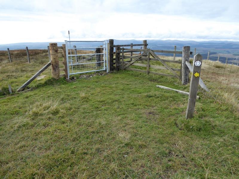
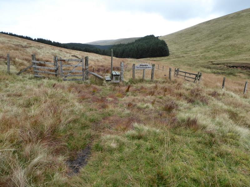
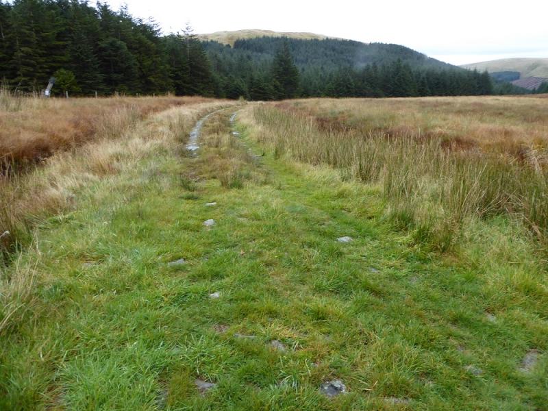
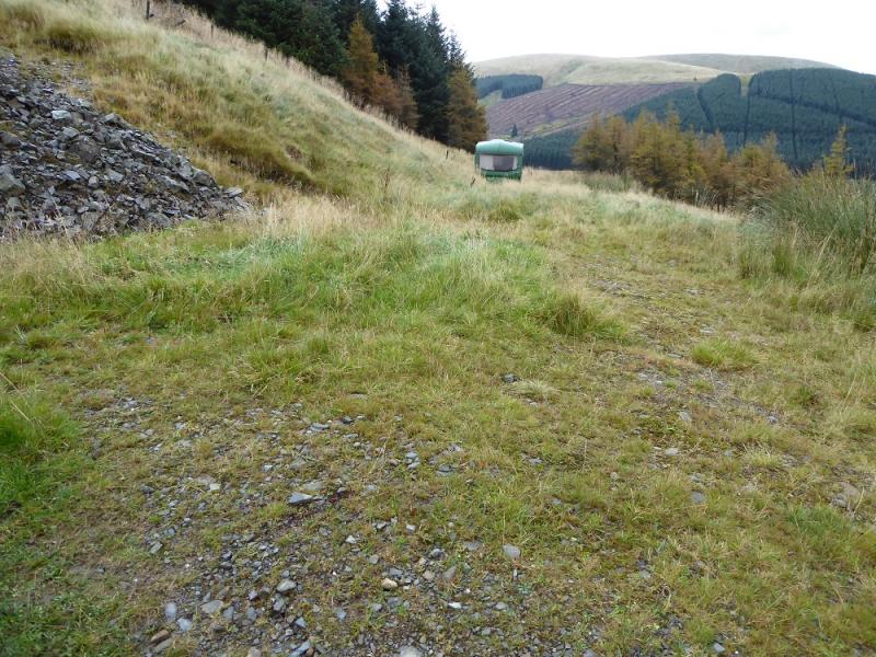
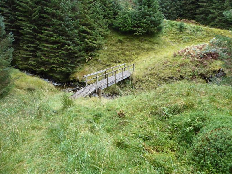
(10) Continue following the wall for about 2 km. It wanders around a lot and the path gradually gets worse. Eventually reach the col below Bodesbeck Law where there is a gate to the left. A track goes right but this is not visible until reached. Follow the track down, going between the two sections of forest. Lower down, a round sheepfold is passed just before the track goes right. Go straight on here. The grassy track is quite overgrown at first but soon improves. On 21/10/2016, there was a green caravan on this track. The track contours around the hillside before entering the forest and leading to a bridge over a stream. Just after this, a major track is joined which leads back to the turning circle.
Notes
(a) This walk took place on 21st October, 2016, and about 15 years earlier.
Photos - Hover over photo for caption. Click on to enlarge. Click on again to reduce.