Get Lost Mountaineering
You are here: Scotland » 00 Galloway and the Borders » Manor & Moffat Hills
Lochcraig Head & White Coomb via Grey Mare's Tail Waterfall
Lochcraig Head & White Coomb via Grey Mare's Tail Waterfall
Start/Finish
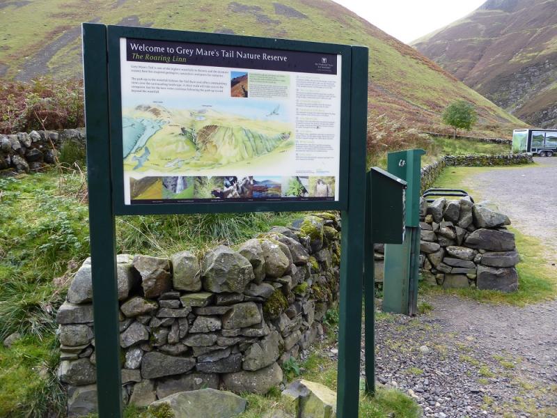
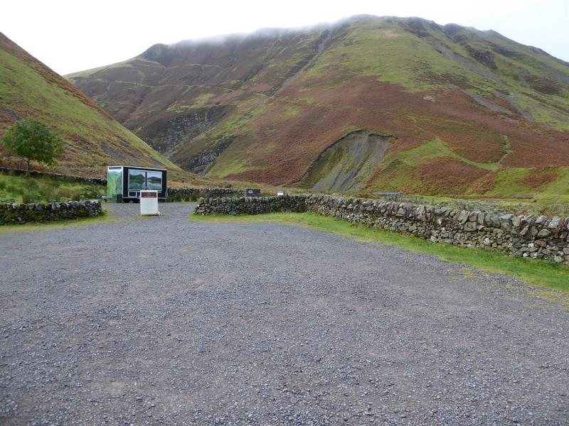
Grey Mare's Tail car park on the A708 between Moffat and Selkirk. The car park is about 10 miles north of Moffat and about 3 miles south of St. mary's Loch. The car park is owned by the National Trust so there is a charge for non-members.
Distance/Time
19 km. About 6 – 7 hours.
Peaks
Lochcraig Head, 801 m, NT 166 177.
Nickies Knowe, 761 m, NT 164 191.
Firthhope Rig, 800 m, NT 153 154.
White Coomb, 821 m, NT 163 150.
Carrifan Gans, 757 m, NT 159 138. Explorer 330: Moffat & St. Mary's Loch
Introduction
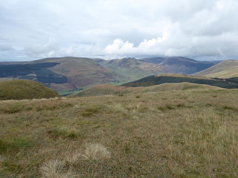
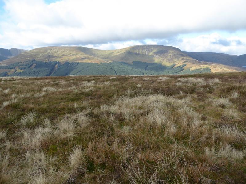
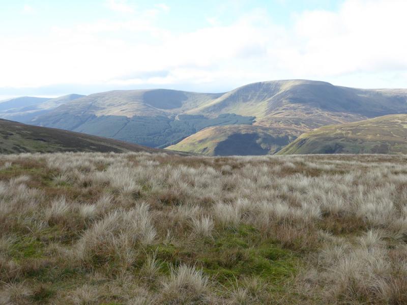
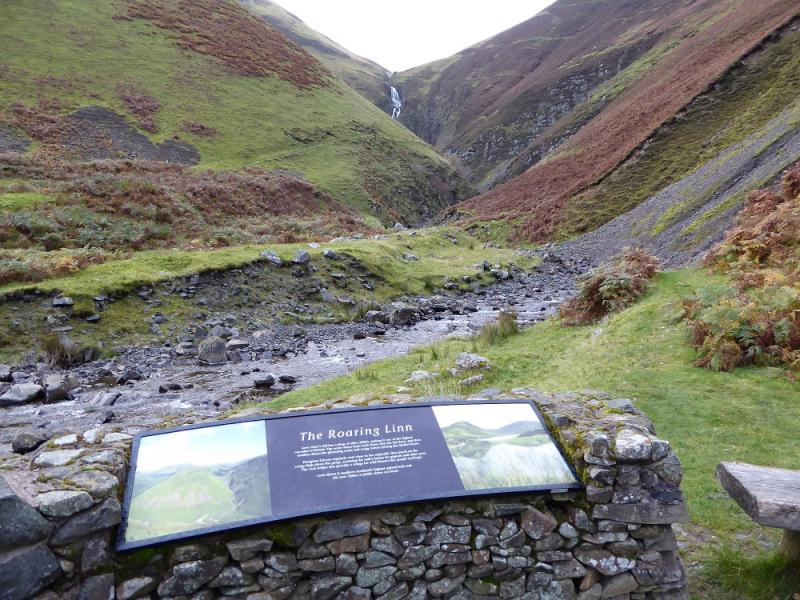
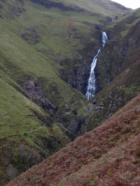
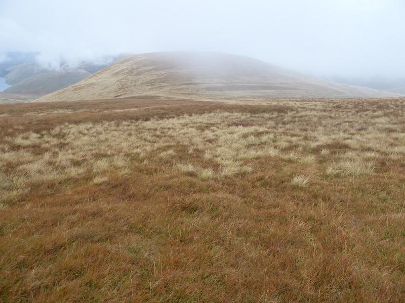
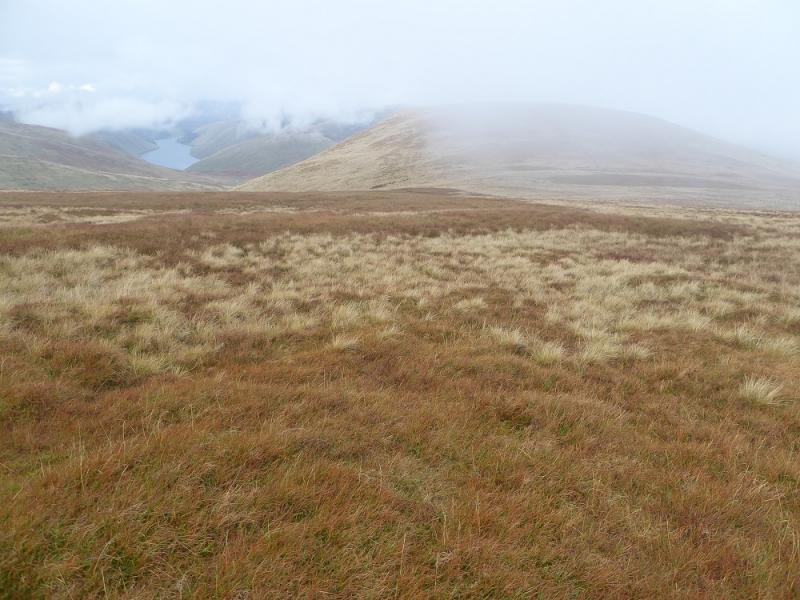
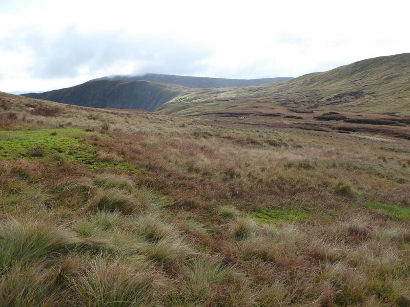
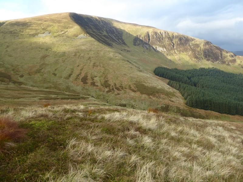
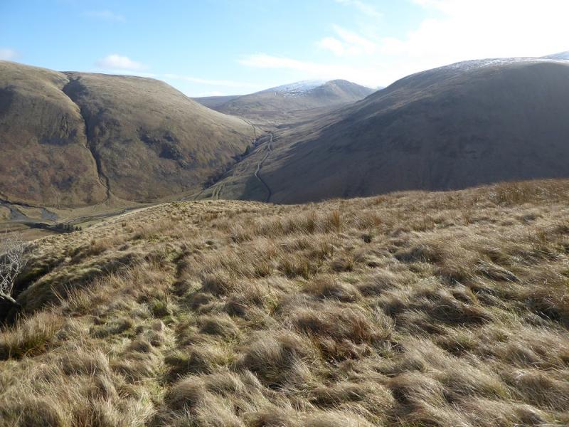
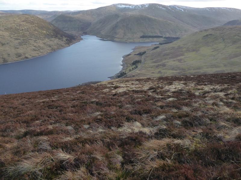
This is a strenuous walk with some steep ground and some boggy sections. The route goes up the side of the famous Grey Mare's Tail waterfall. On a clear day, there are excellent views to Under Saddle Yoke, Hart Fell, Andrewwhinney Hill, Ettrick Pen and the Broad Law range.
Route
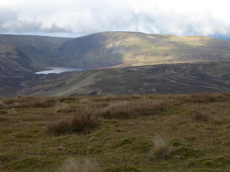
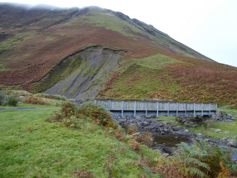
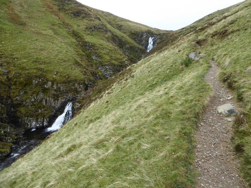
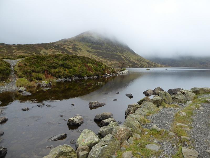
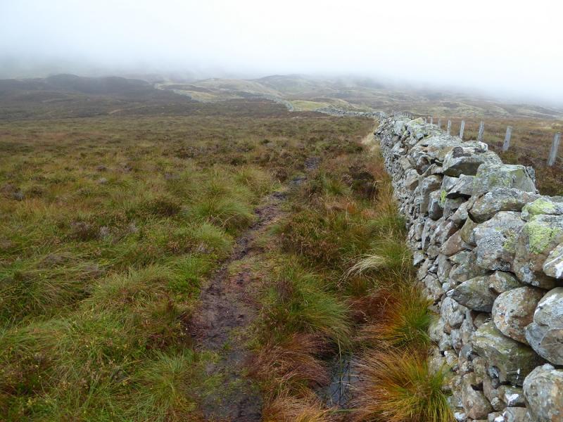
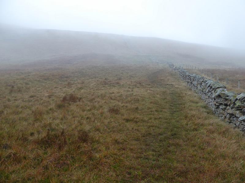
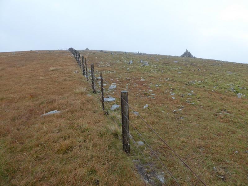
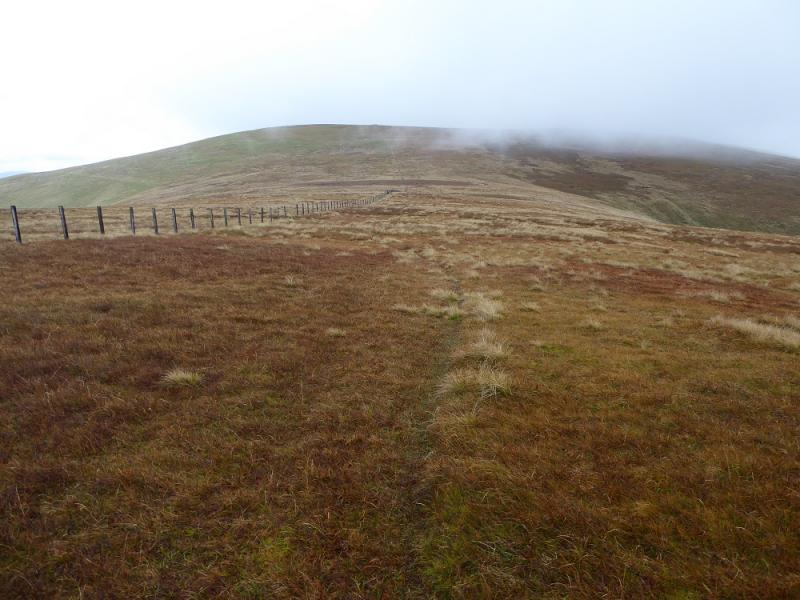
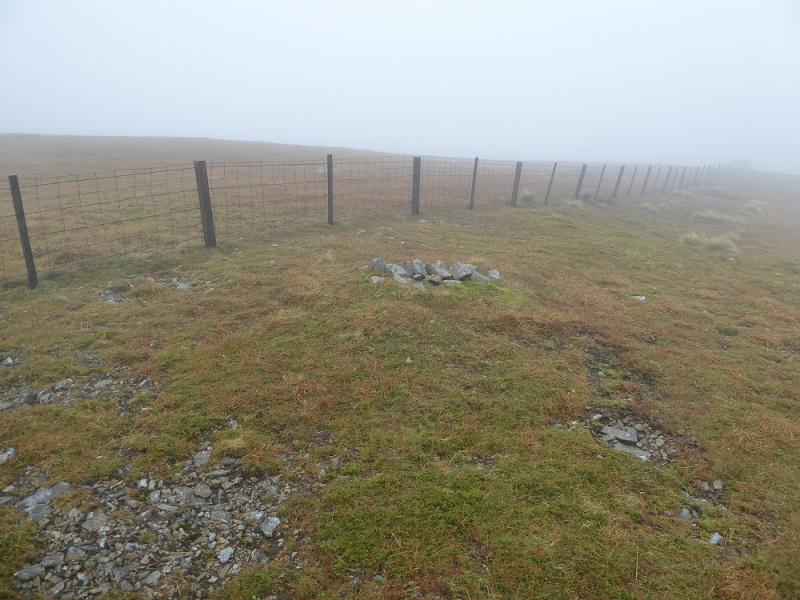
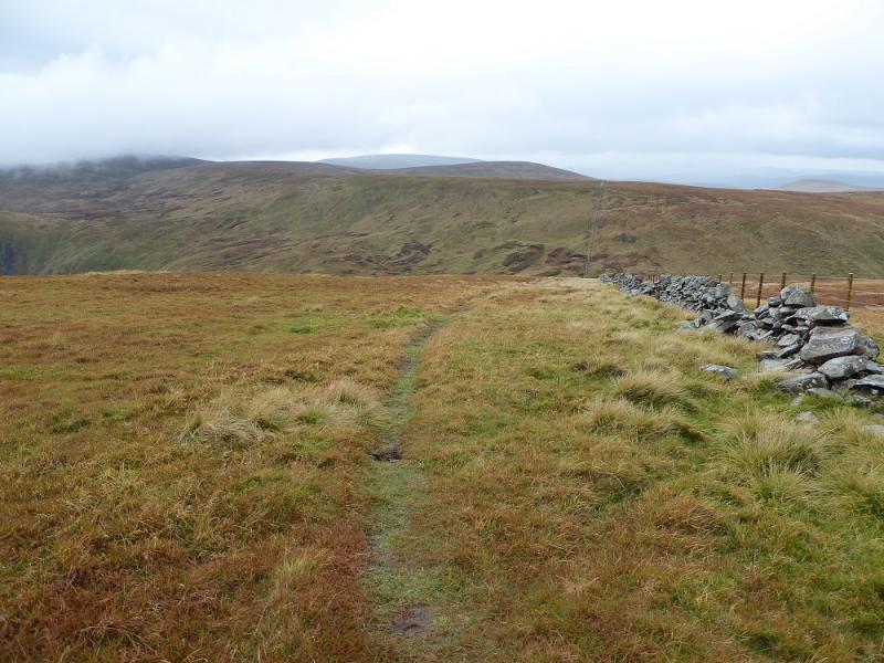
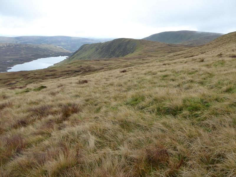
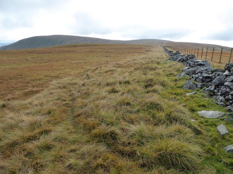
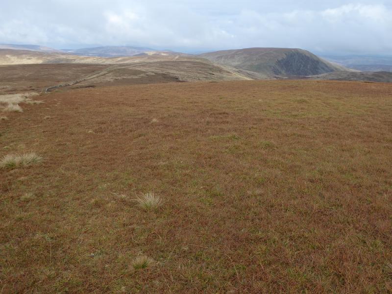
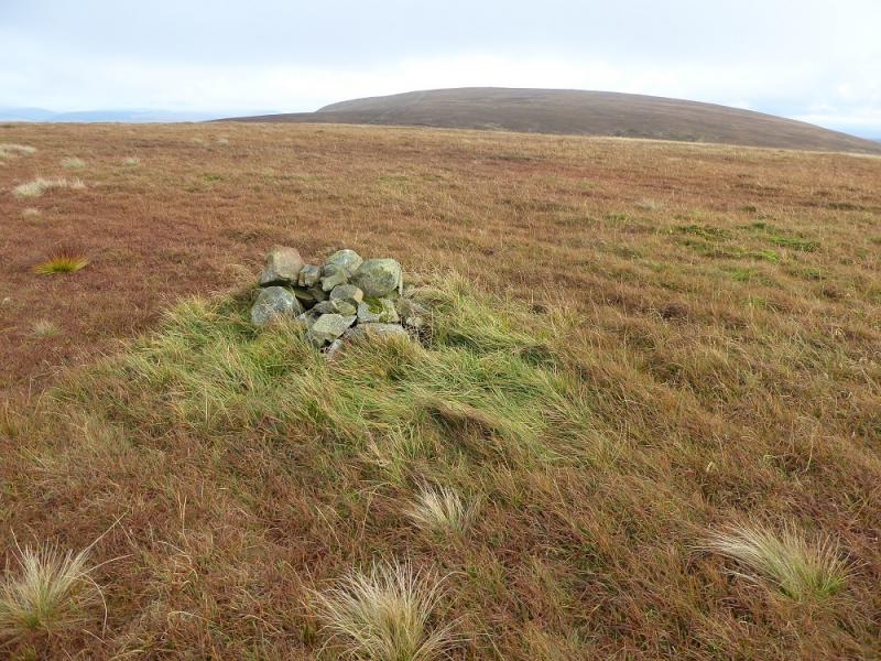
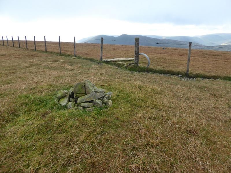
(1) Cross the bridge over the Tail Burn and follow the path up the right hand side of the waterfall. At the top, continue to reach Loch Skeen. The path quickly deteriorates and becomes wet and boggy so soon head to the fence on the right and follow this where the path is a little drier. The fence soon becomes a wall then climbs steeply up on to the ENE ridge of Lochcraig Head. Turn W and follow the wall up to a fence junction. The obvious large cairn to the S is not the summit. This is up the right hand side of the fence going N. There is a tiny cairn then, about the same distance again, a small cairn. One of these is the summit of Lochcraig Head, 801 m. Both cairns are well before the large cairns further on.
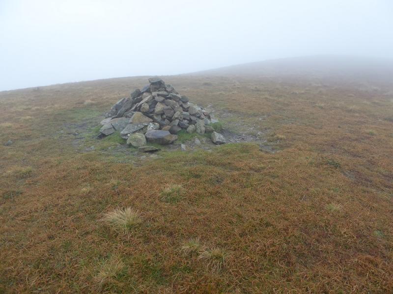
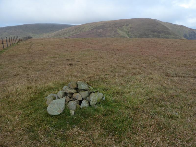
(2) Continue N along the fence, past the large cairns to reach a fence junction. Take the left fork, NW, and follow it down to a col then up to a fence corner where a very small cairn marks the summit of Nickies Knowe, 761 m.
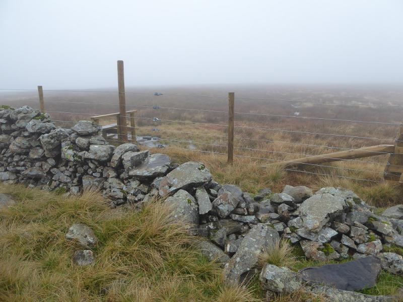
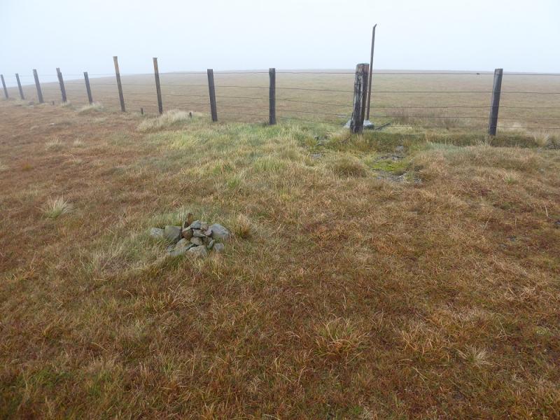
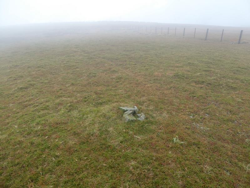
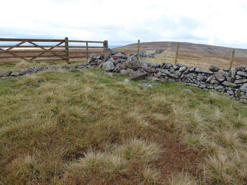
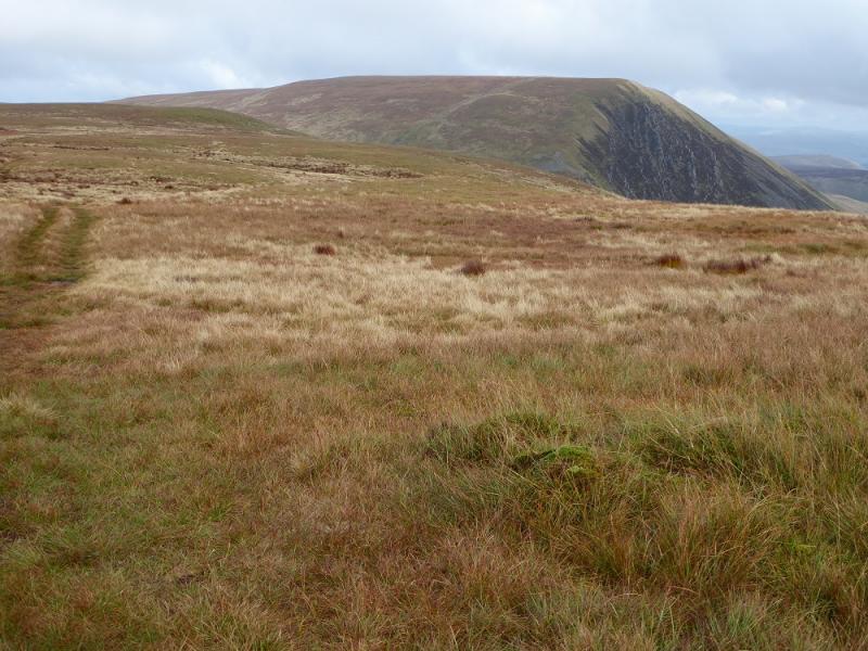
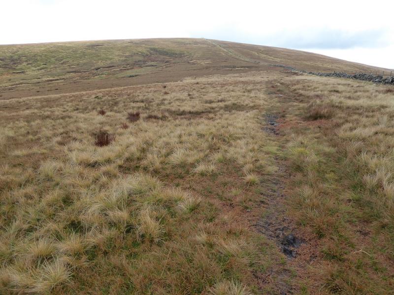
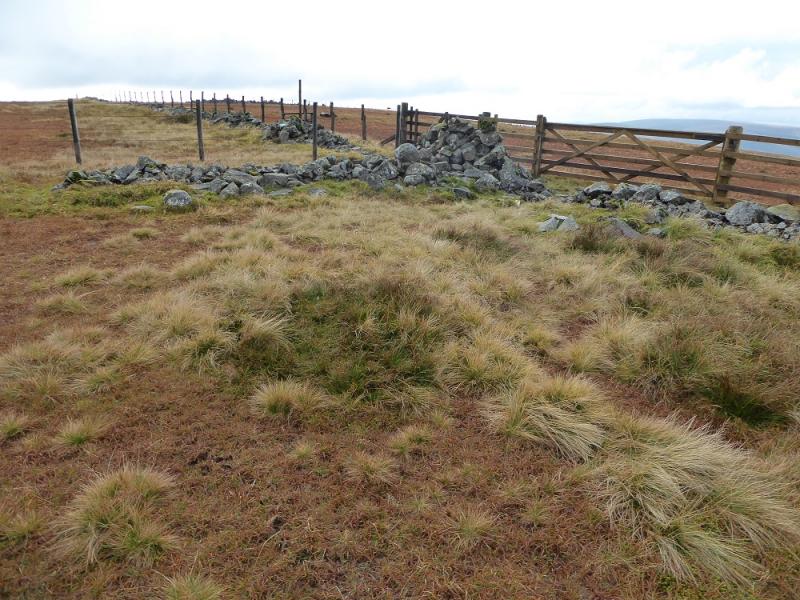
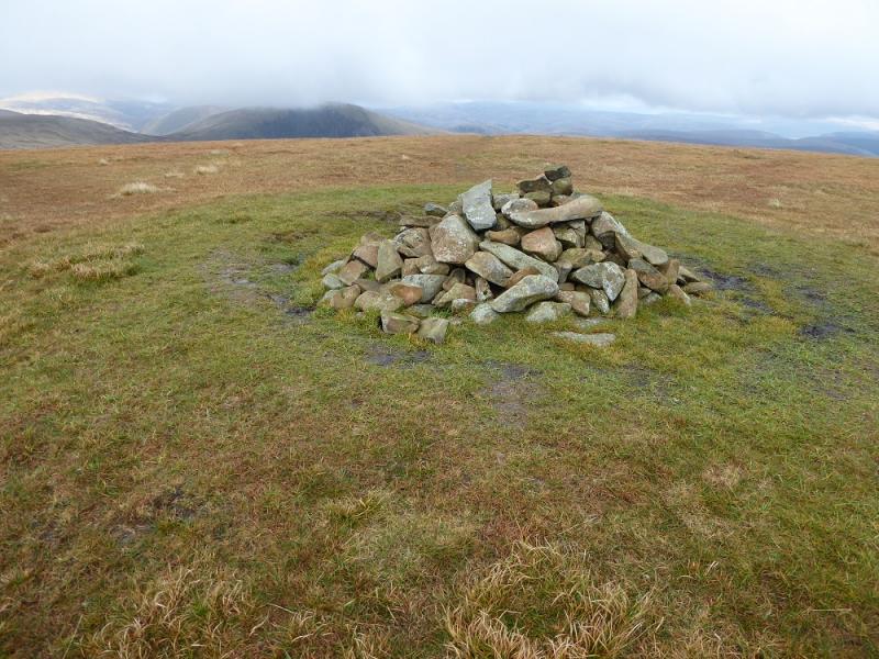
(3) Retrace to Lochcriag Head fence junction and follow the wall, WSW, down into a deepish col then up the other side to the fence junction at Firthybrig Head. Follow the wall SSW then S up to a fence junction. Use the two stiles to get to the far side where a small cairn marks the summit of Firthhope Rig, 800 m.
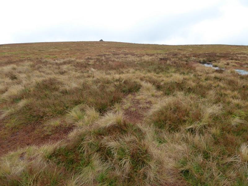
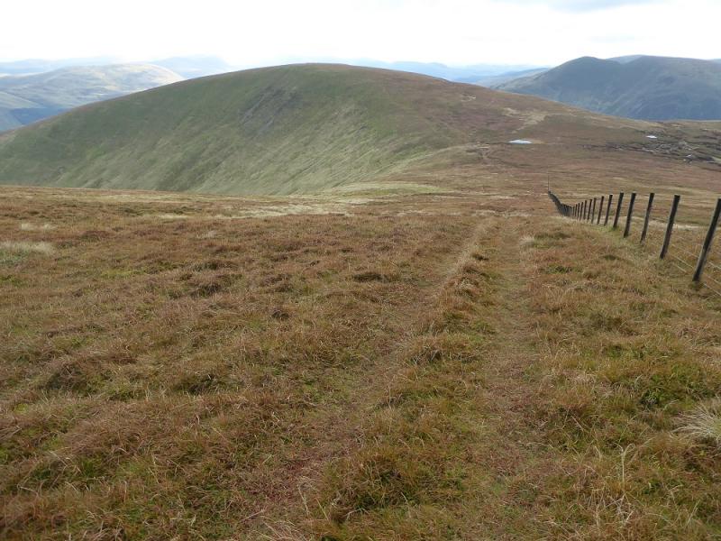
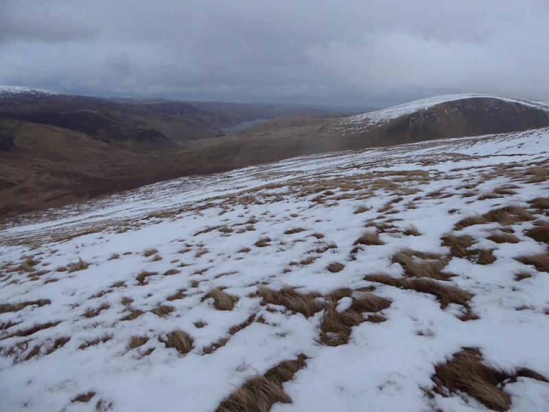
(4) Retrace over the two stiles and follow the fence ESE across a col then up to a corner where it turns SSW. Follow the fence then soon leave it and reach the medium cairn off to the left which is the summit of White Coomb, 821 m.
(5) Rejoin the fence and follow it down to a col then up to the small cairn which is the summit of Carrifan Gans, 757 m.
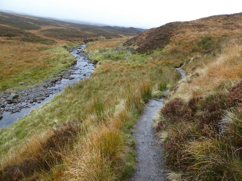
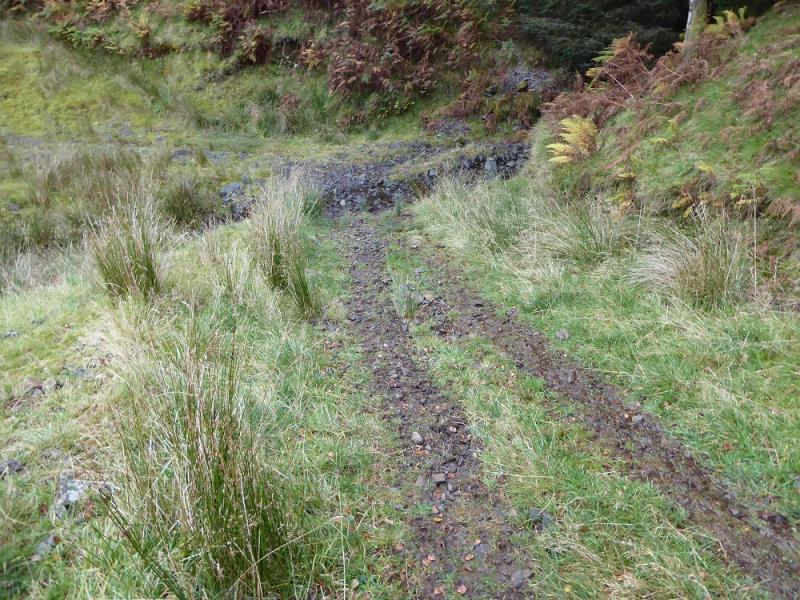
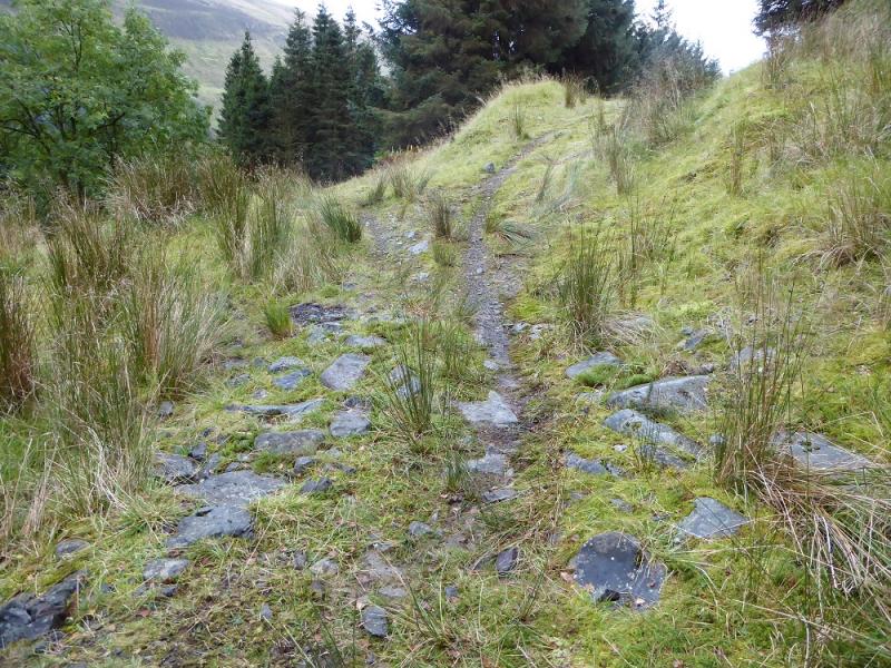
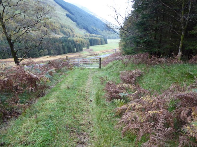
(6) Walk E and follow an ATV track down the E ridge. The ridge steepens lower down and the track becomes fainter. Enter the forest just to the S of where the main burn enters and join a rough track. Follow this rough down for some distance until it reaches a sort of small clearing where a fire break is a reverse left fork. Ignore this and continue on the same track. Soon cross a stream – the first one where the stream has to be walked through – it is very shallow! Immediately after, another track forks left. Take this and follow it down to the road at a gate. Turn left and walk for about 2 km back to the start.
Notes
(a) This walk took place on 22nd October, 2016.
Photos - Hover over photo for caption. Click on to enlarge. Click on again to reduce.