Get Lost Mountaineering
You are here: Scotland » 00 Galloway and the Borders » Ettrick Hills
Bodesbeck Law & Andrewhinney Hill from Ettrick Valley
Bodesbeck Law & Andrewhinney Hill from Ettrick Valley
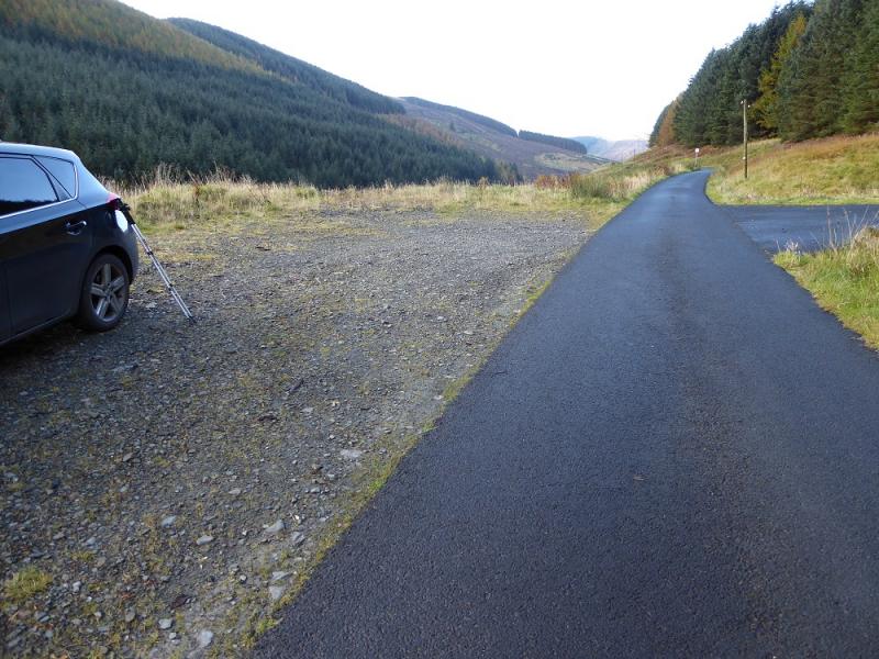
Start/Finish
Large rough parking area opposite wood after Roweburn which is the last house on the public road. It is about half a mile before the turning circle at the end of the public road up the Ettrick Valley which leaves the B709 road from Selkirk to Langholm at Ettrick which should not be confused with Ettrick Bridge which is about 10 miles further north! With two cars, one could be left at a similar parking space slightly up the valley from Shorthope and the other at the turning circle. This will save about an hour. If a bicycle is being used, this could be left at Brockhoperig and would save about 40 minutes.
Distance/Time
20 km. About 6 – 7 hours.
Peaks
Bodesbeck Law, 665 m, NT 169 104.
Mid Rig, 616 m, NT 180 123.
Bell Craig, 623 m, NT 186 128.
Andrewhinney Hill, 677 m, NT 197 138.
Trowgrain Middle, 628 m,NT 206 150.
Herman Law, 614 m, NT 214 157. Explorer 330: Moffat & St. Mary's Loch
Introduction
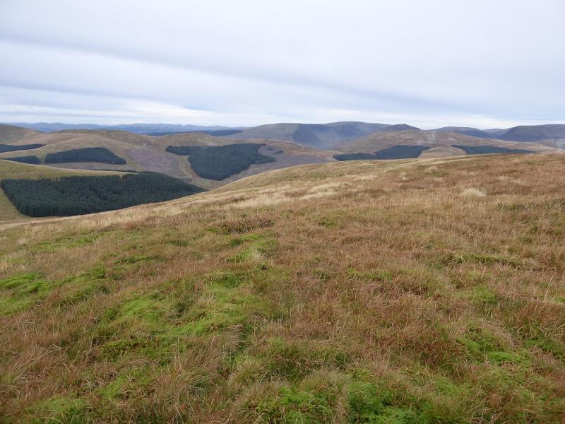
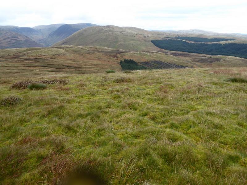
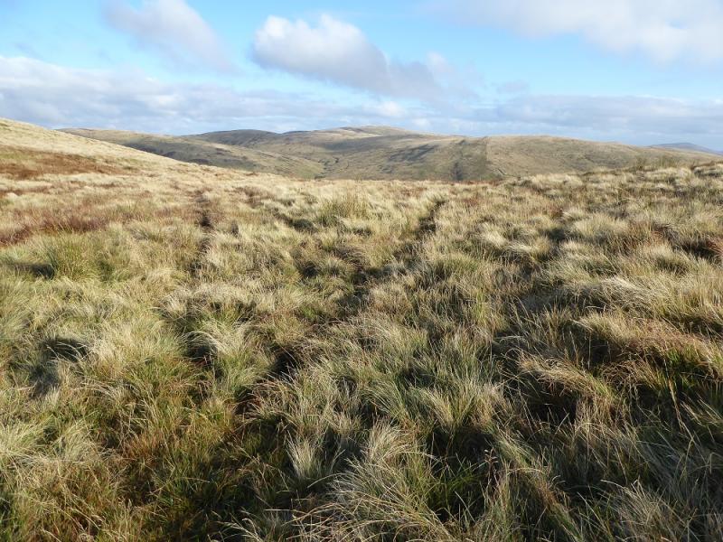
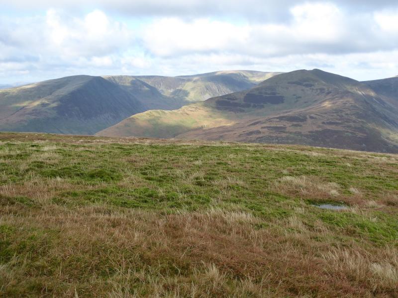
This is a straightforward round with the only problem being that it is linear. There are excellent views to Hart Fell, Under Saddle Yoke and White Coomb. Note that many of the tops have no cairn and some which do may not be on the highest point!
Route
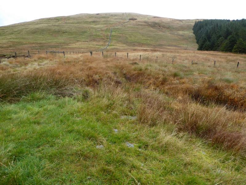
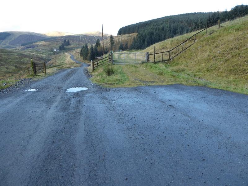
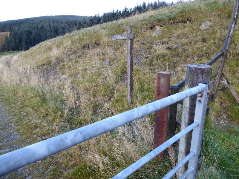
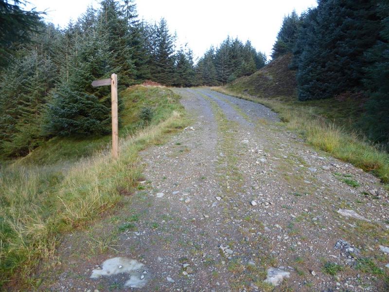
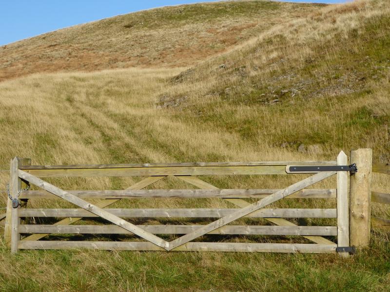
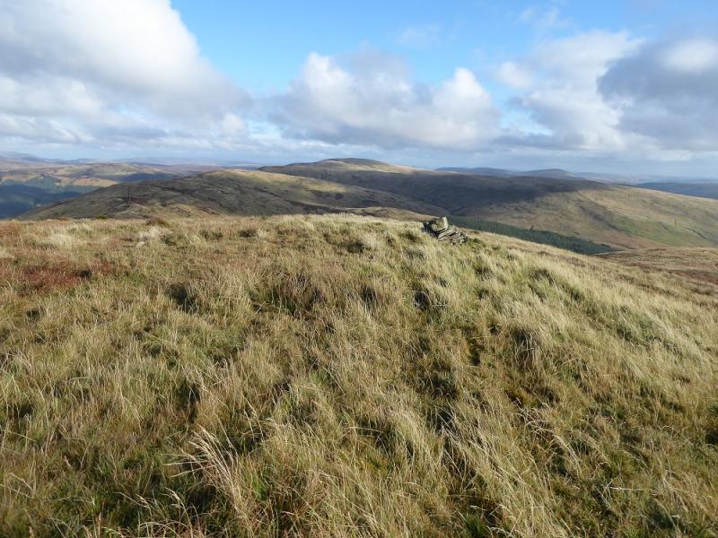
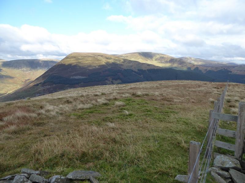
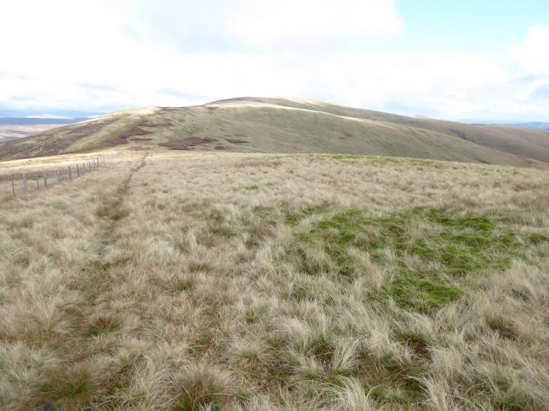
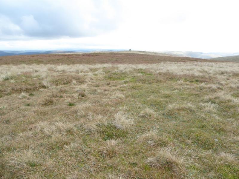
(1) From the turning circle, at the end of the public road, go through the gate on the right signed for Bodesbeck Law. Follow the main track, ignoring the turn for the Ettrick Head Horseshoe, to leave the forest at a gate. A grassy ATV track takes over and goes as far as the wall just below the summit, passing the cairned NE top on the way. Cross the wall and fence and soon reach the medium cairn which is the summit of Bodesbeck Law, 665 m.
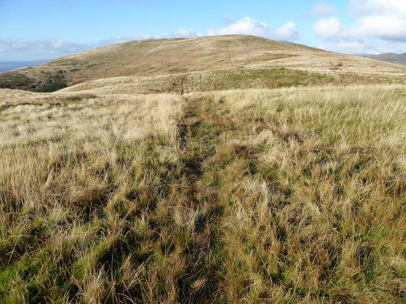
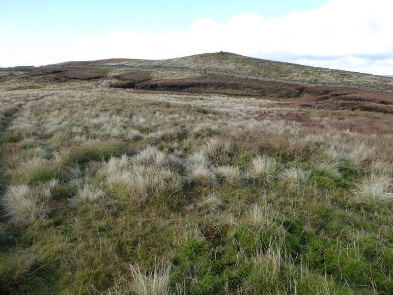
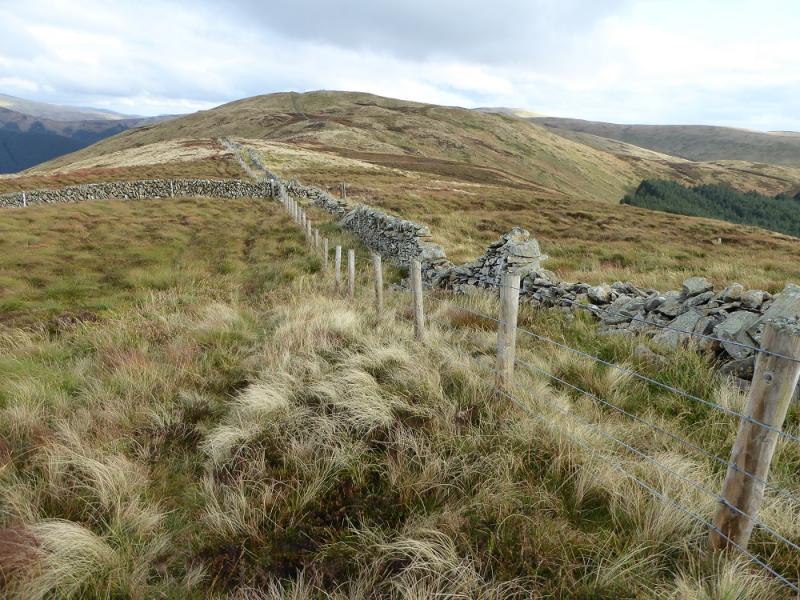
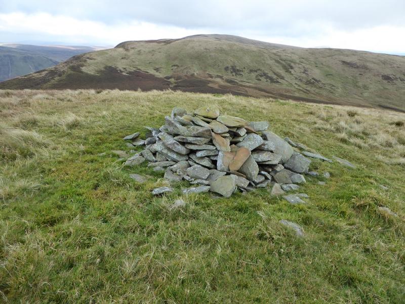
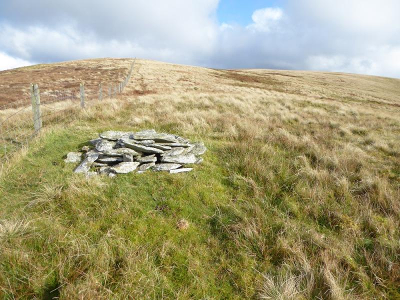
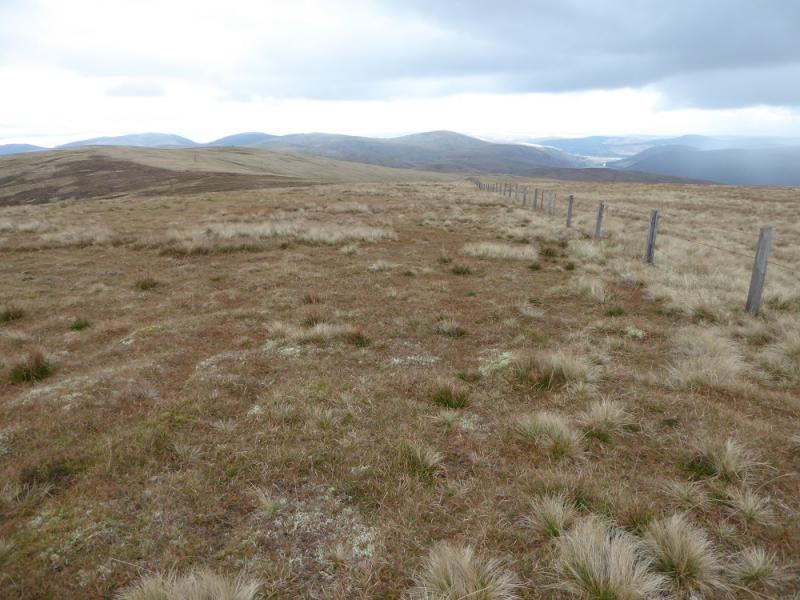
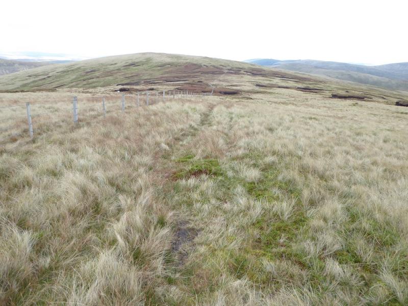
(2) Descend, roughly N, following the wall and fence, crossing a shallow col then ascending to the top of Nowtrig Head which has no cairn. The wall goes off right here but the fence continues along the crest so follow this across a shallow col and up on to Mid Rig where there is a medium cairn which may not be on the highest point which seems on the fence but one of these is the summit of Mid Rig, 616 m.
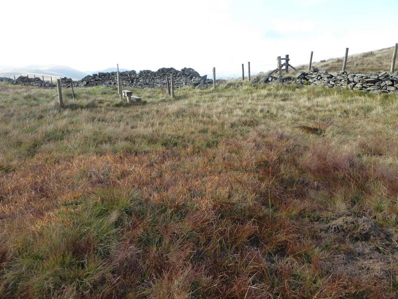
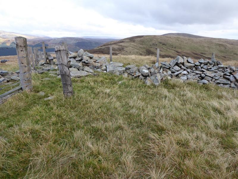
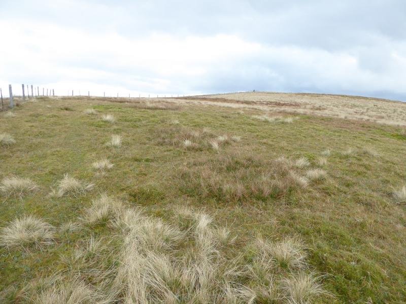
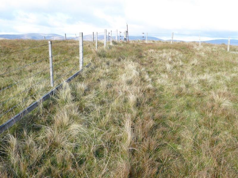
(3) Continue following the fence down into another shallow col then up on to a fence junction which is the summit of Bell Craig, 623 m.
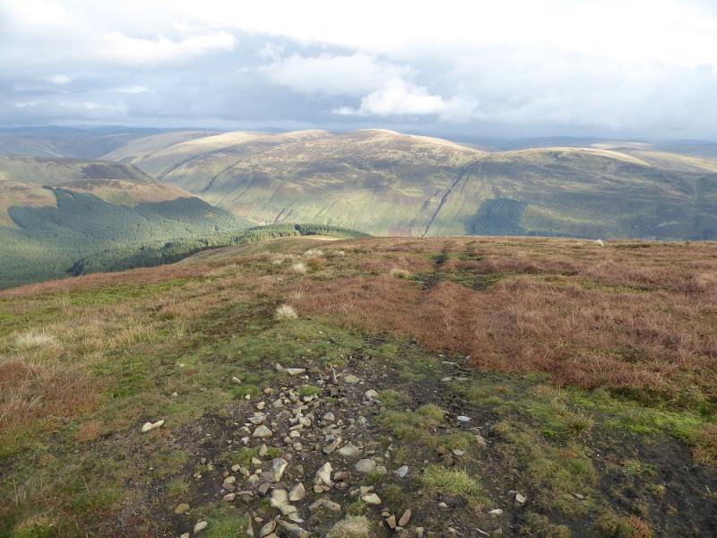
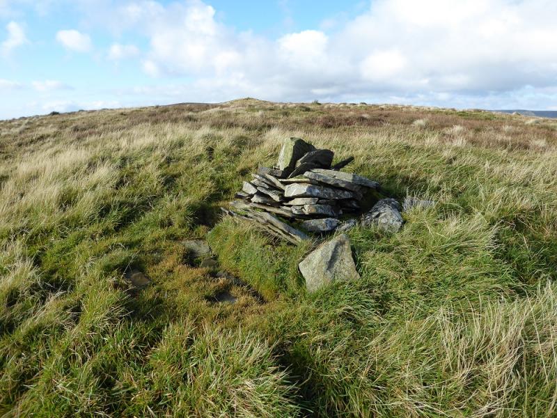
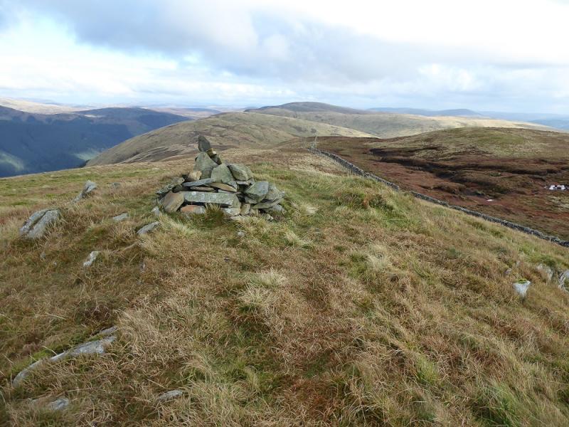
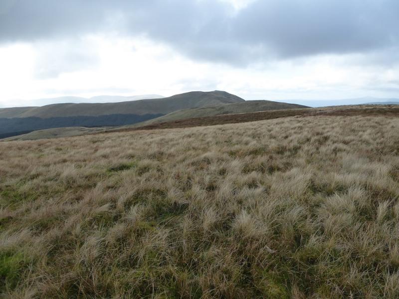
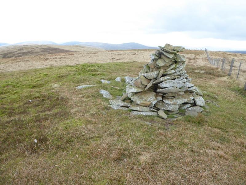
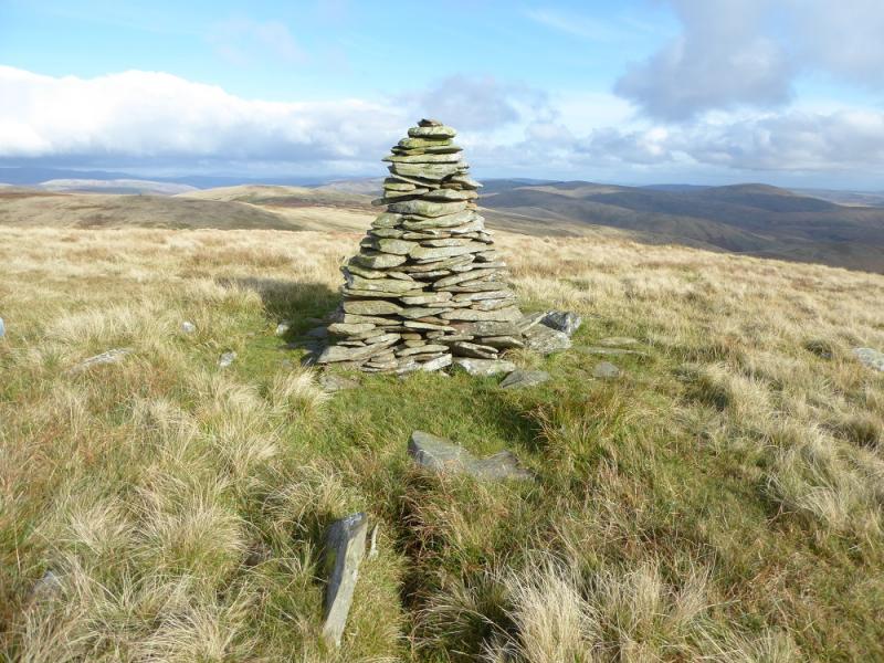
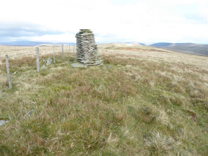
(4) Continue following the fence down into a col then a much longer ascent, following the fence, with a cairn on the way, to reach a large cairn next to the fence which is the summit of Andrewhinney Hill, 677 m.
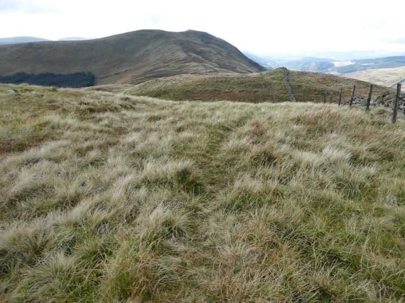
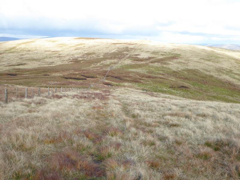
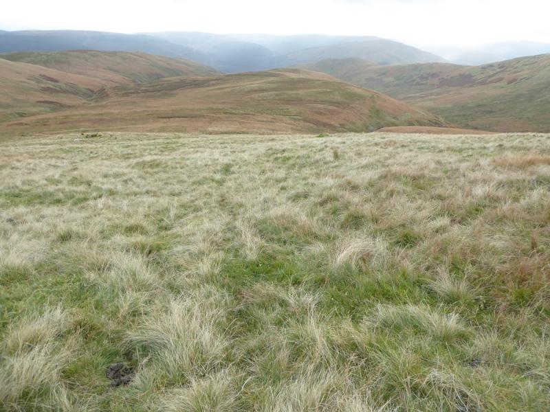
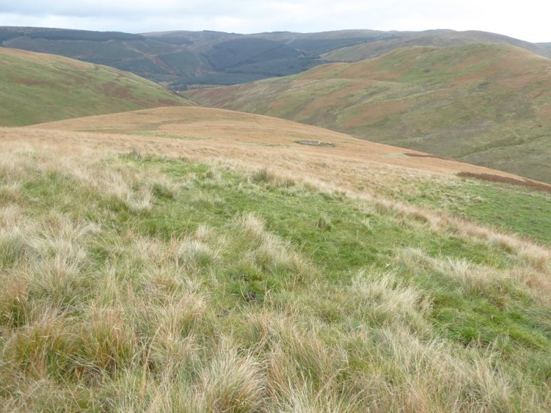
(5) Continue following the fence, E then NE, down to a col then over Mid Rig, passing a cairn after the summit. Descend to a col then up to a cairn by the fence which could be the summit of Trowgrain Middle, 628 m, although there may be slightly higher ground to the NW.
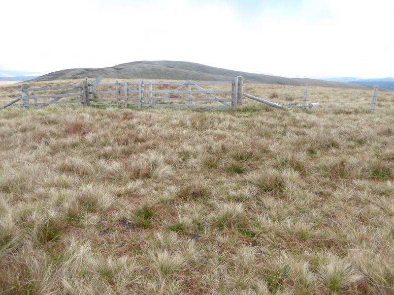
(6) Continue following the fence, descending NE then up to a fence junction which is the summit of Herman Law, 614 m.
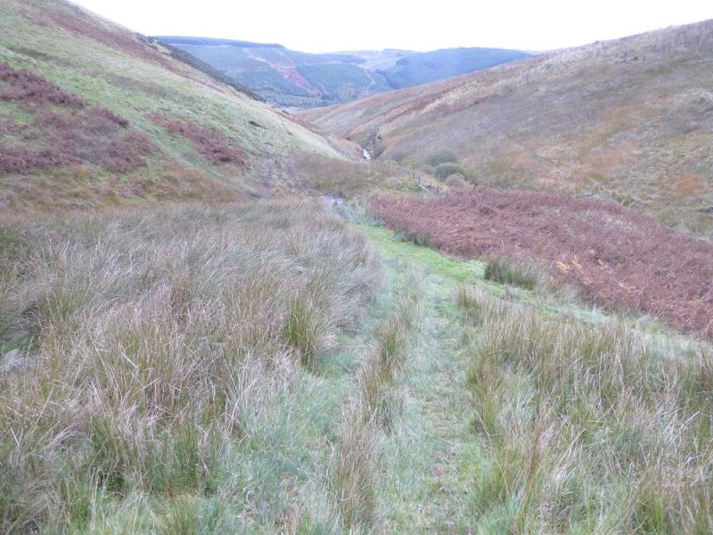
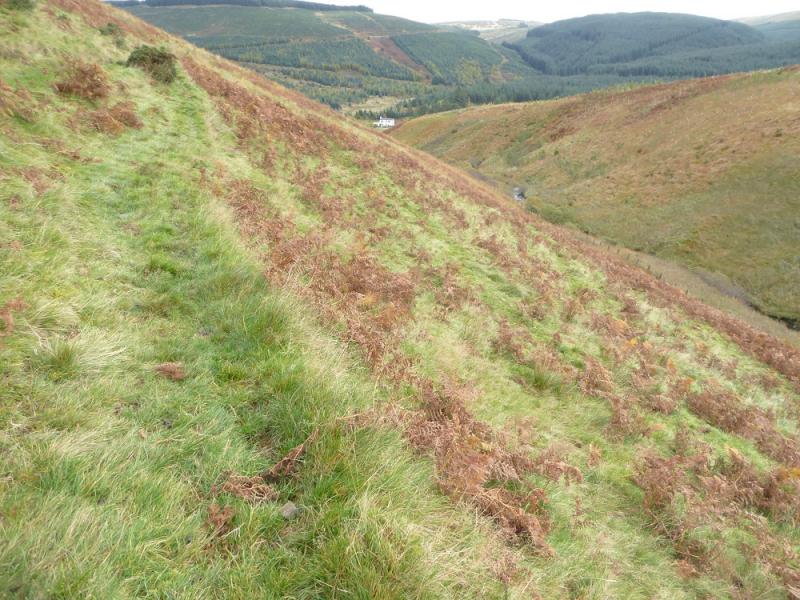
(7) Retrace to the last fence corner then walk off S on pathless but reasonable terrain. Head down Falagrain Middle then on to Nether Hill using occasional ATV tracks. Descend Nether Hill, passing a sheepfold, to where the two streams merge. Cross a rough earth bridge on the left and follow a faint path above the stream to a sheepfold close to the houses. Walk out to the road at Brockhoperig. Walk up the road for about 5 – 6 km to reach the start.
Notes
(a) This walk took place on 23rd October, 2016, and about 12 years earlier.
Photos - Hover over photo for caption. Click on to enlarge. Click on again to reduce.