Get Lost Mountaineering
You are here: England » Peak District » Bleaklow & Howden Edge from Torside, Woodhead & Langsett
Pike Lowe via Mickleden Edge from Langsett Barn
Pike Lowe via Mickleden Edge from Langsett Barn
Start/Finish
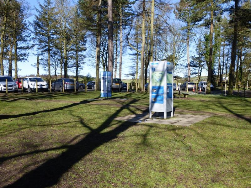
Langsett Barn car park (free on 17/4/16) which is just off the A616 road from junction 35A of the M1 to the roundabout where it meets the A628, Woodhead Pass by the Flouch Inn. The car park is about a mile south east of the roundabout. At weekends, the car park can fill up very quickly leaving one to look around for parking. There are toilets by the car park.
Distance/Time
11 km. About 4 hours.
Peaks
Pike Lowe, 478 m, SK 209 973.
OS 110: Sheffield & Huddersfield. OS Outdoor Leisure 1: Dark Peak
Introduction
This is a short walk with good moorland views in clear weather. Some of the going is boggy and gaiters are recommended in a wet spell when progress will be slow. Some of the route is pathless. There is plenty of time for this walk on a late-winter's day when the views are often at their best and the frozen ground is more pleasant to walk over. Snow and ice are not normally a problem. There are no really steep sections.
Route
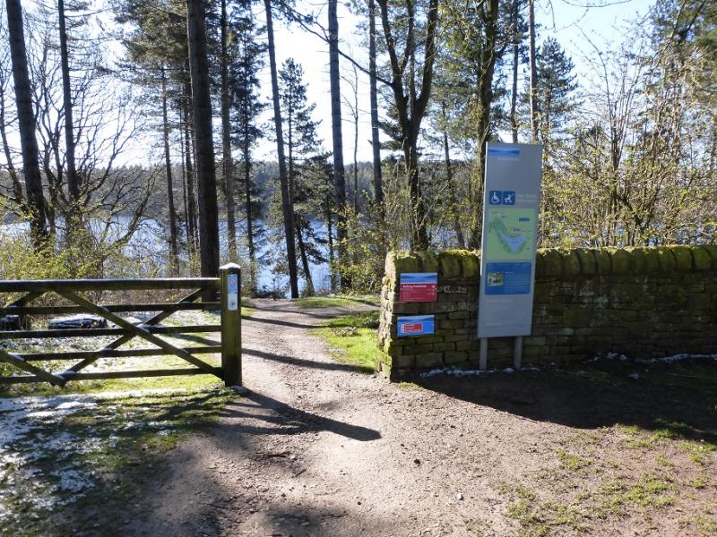
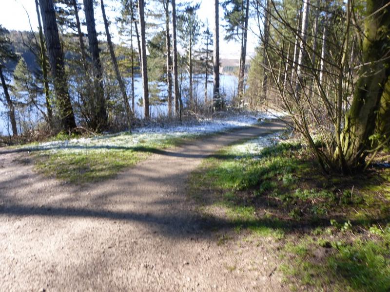
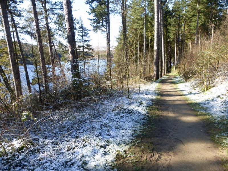
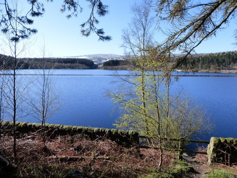
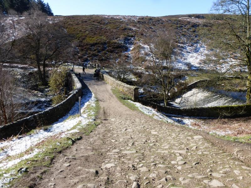
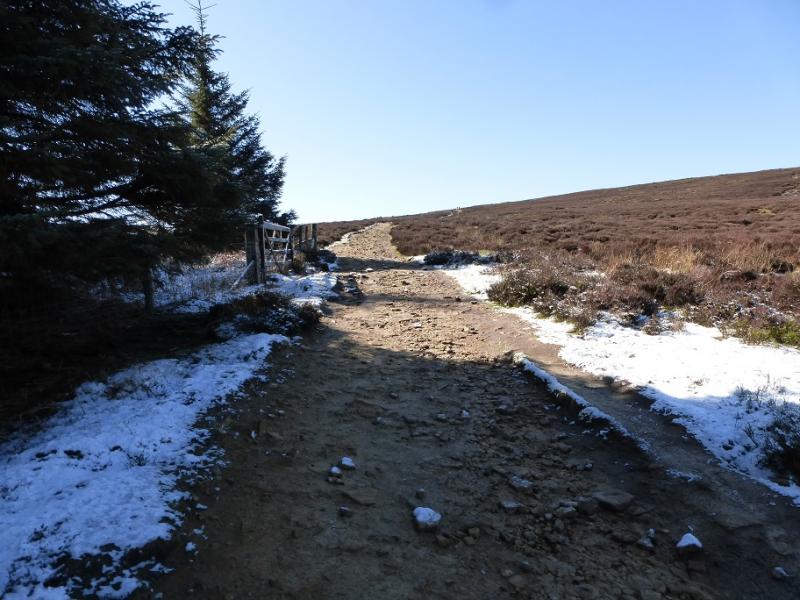
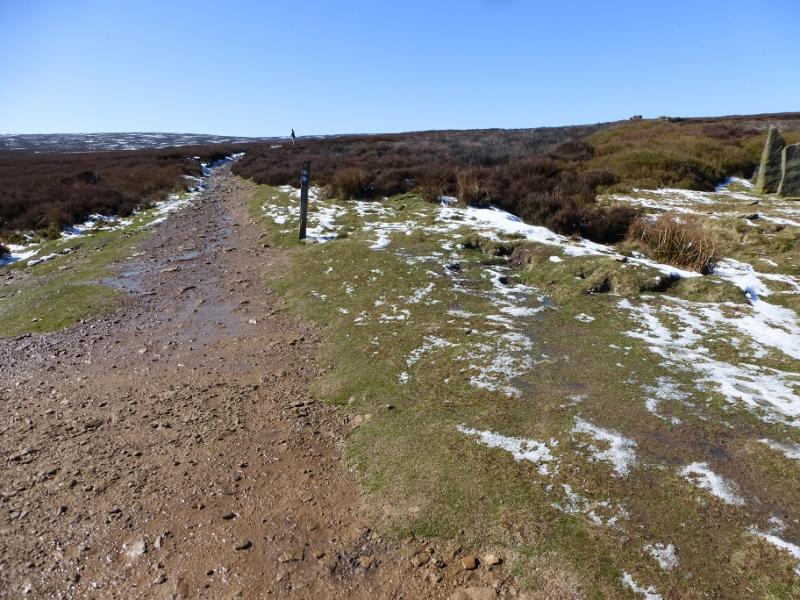
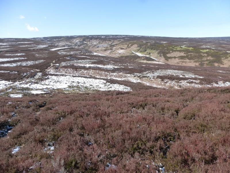
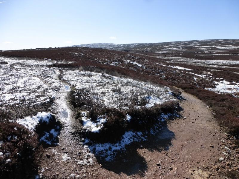
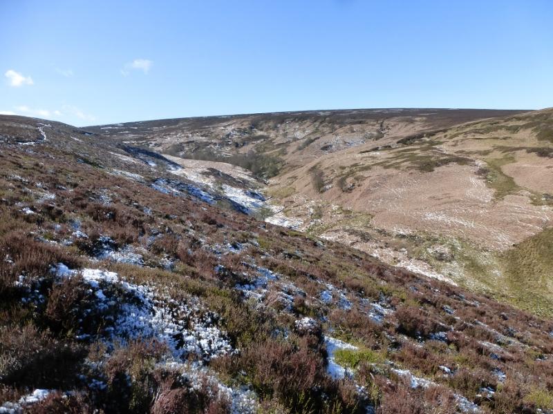
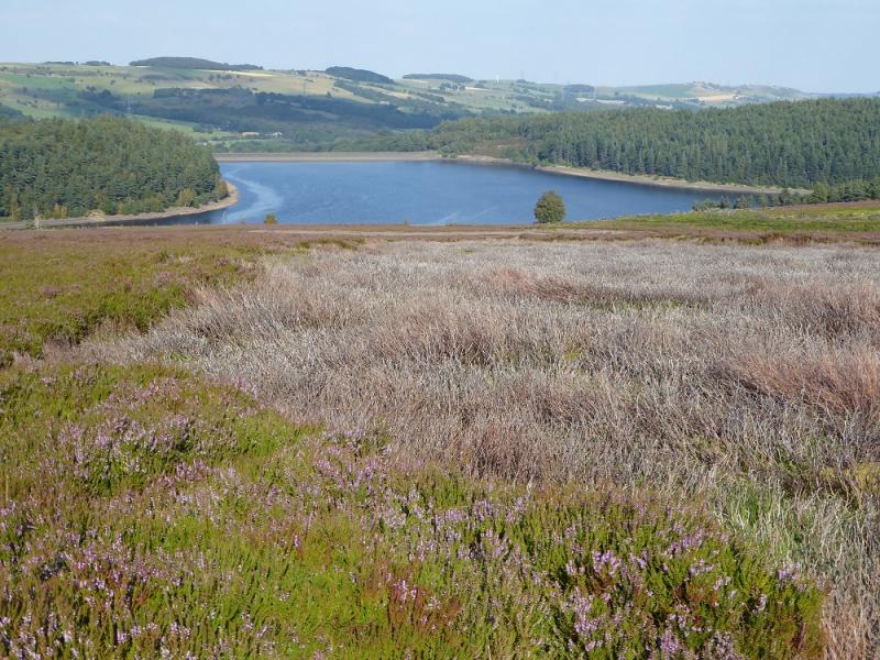
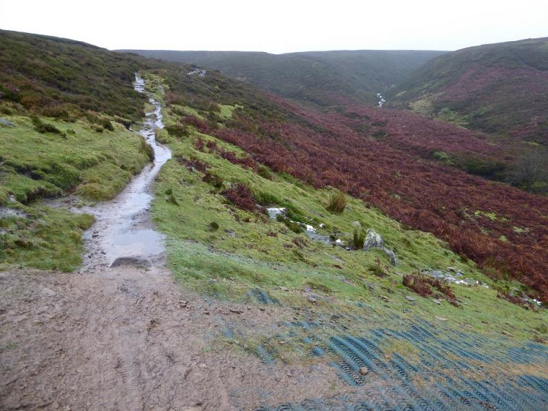
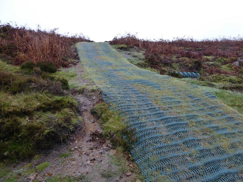
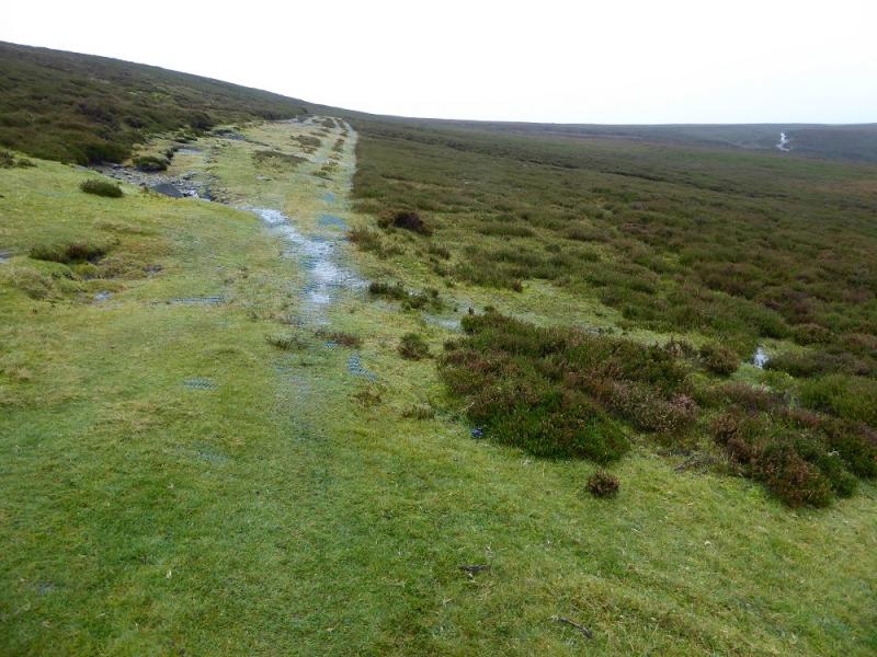
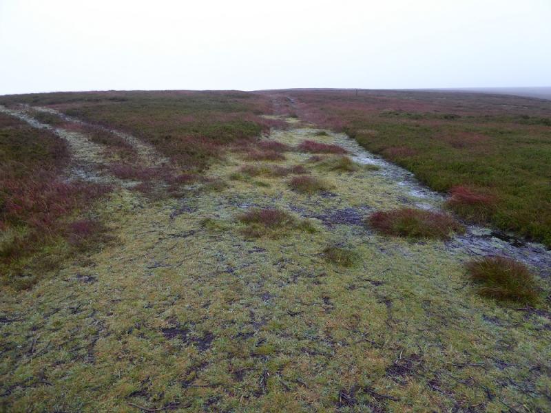
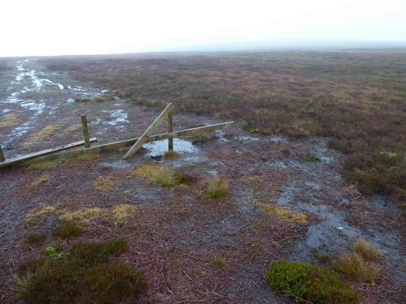
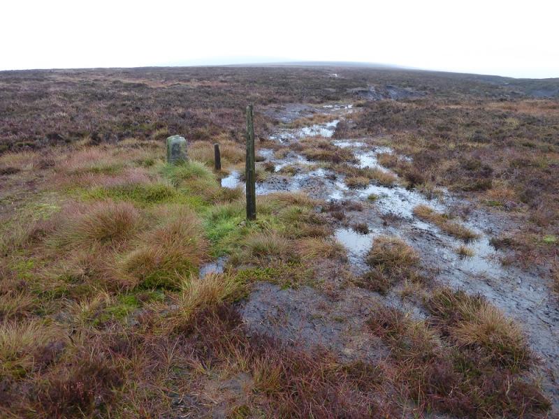
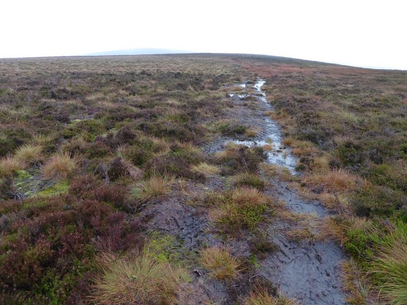
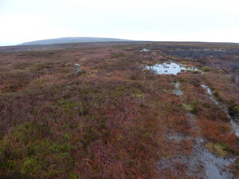
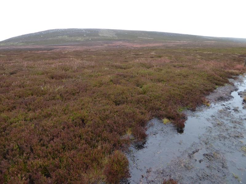
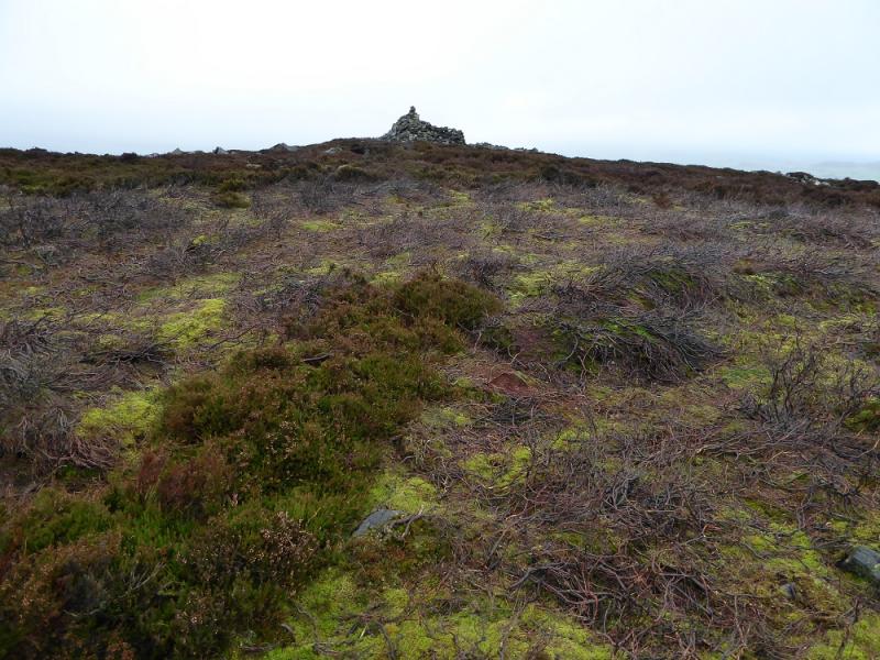
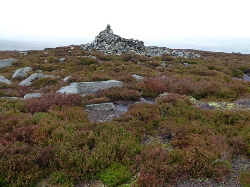
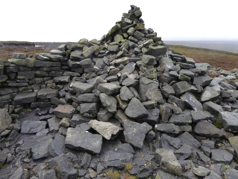
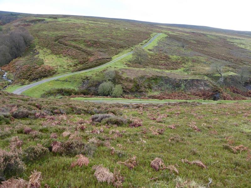
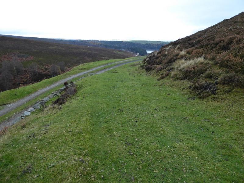
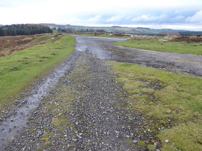
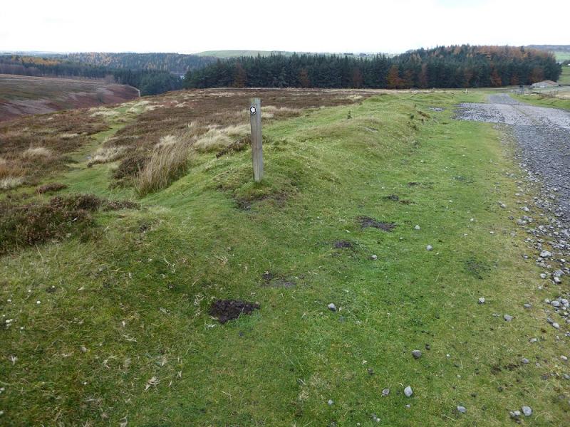
(1) Walk out of the bottom of the car park and soon pick up the main path heading NW with Langsett Reservoir below and on one's left. The good path leads to the NW corner of the reservoir before crossing the Little Don River by a substantial old stone bridge. Follow the path up the other side, roughly S then more SSW passing Hingcliff Hill on its E flank. Stay with the main path to reach Mickleden Edge with the obvious large clough containing Mickleden Beck on the right; one is now heading more to the S. Just before Mickleden Beck splits a mesh track crosses the path. Go left on this and ascend to the crest and follow the track as it turns S. When it splits, continue ahead. Soon after, the track goes left and starts to descend. On 12/11/16, there was a simple wooden barrier here. Leave the track and head roughly SE, across pathless ground, towards the crest to the W of Pike Lowe. There are quite a few white posts around which are of no use! As the crest is neared look for a dark wooden post with a shorter stone post close by. Join an obvious, but boggy, path here and head E towrads Pike Lowe. The path appears to pass the top on its S side so leave it when it does so and ascend pathless but easy short slopes to the summit plateau where there is a very large cairn/shelter which marks the summit of Pike Lowe, 478 m although this may not be the highest point which could be a few metres to the S although the stony nature of the area makes it difficult to tell.
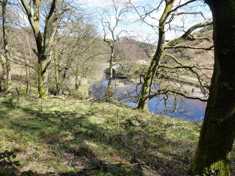
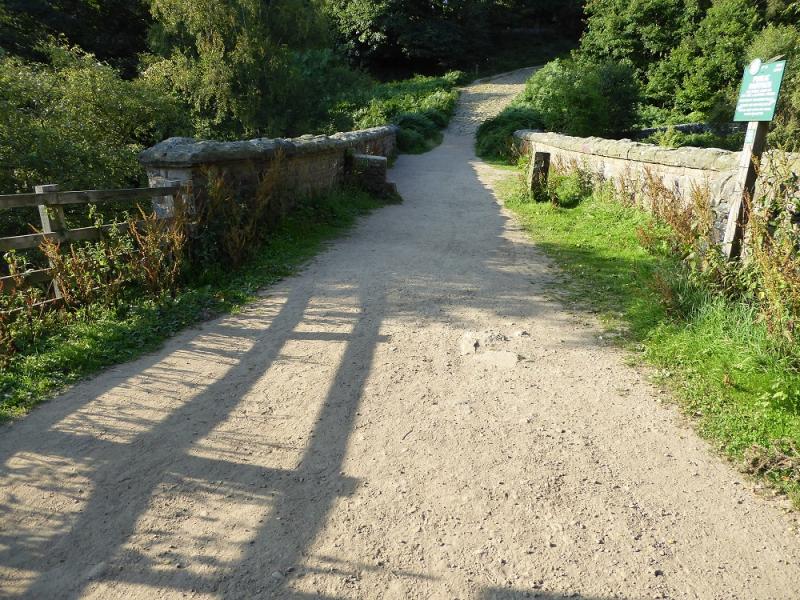
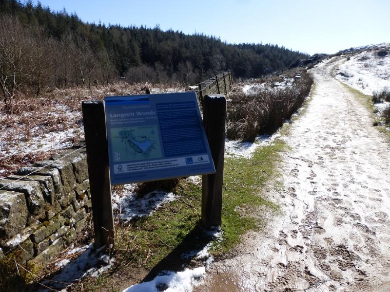
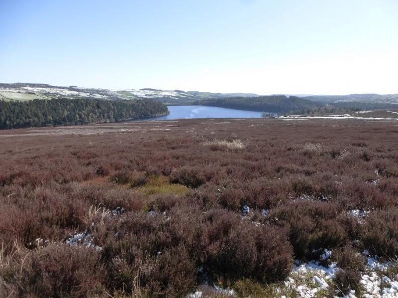
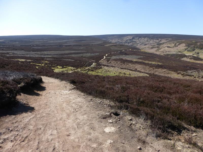
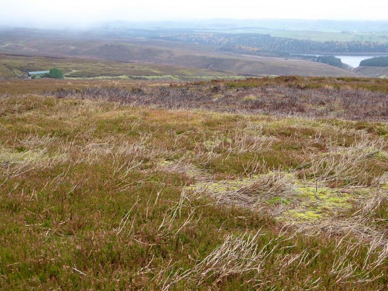
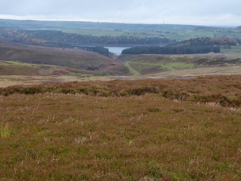
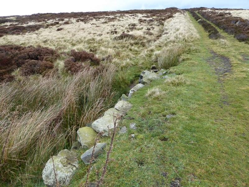
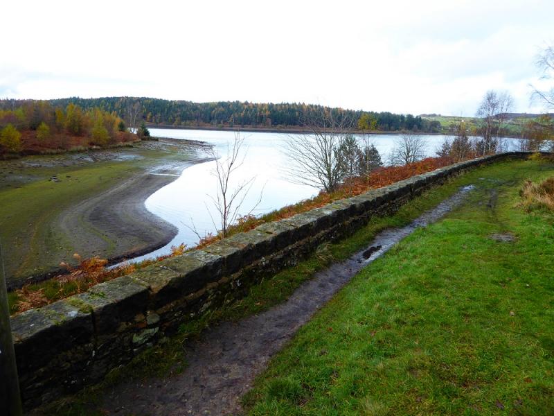
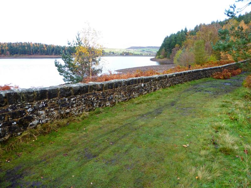
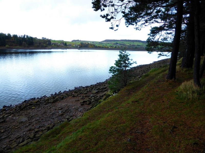
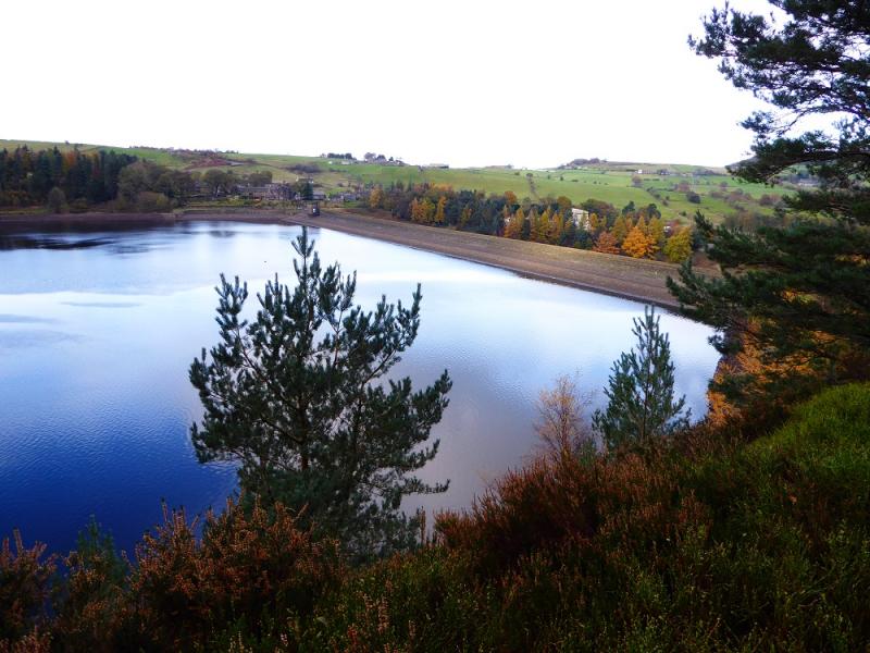
(2) There is one obvious path from the cairn and it goes W. Follow it then start working around to the N and heading down towards Langsett Reservoir. There are hints of paths but there is some deep heather. It is probably best to “hop” from one path of burnt heather to another until the heather becomes grass. There is no need to drift left to the track and shooting cabin. Lower down a rough track will be met which can be followed down. When it crosses a stone sided “bridge” just before a final small rise, one can go left soon after and reach another track which soon joins the one from the shooting cabin. Alternatively, don't go left and meet the shooting cabin track lower down at a very wide section. Continue down, towards a farm, but leave the track on a signed path before getting that far. The path leads to the S inlet of the reservoir and some information boards. Cross the track and follow the path on the edge of the reservoir going E. Follow the path all the way to a fence just short of the dam then go up the side of the fence to reach a wall before a road. The wall looks easy but there is quite a drop on the other side. Once over, go left, cross the dam then take the path left on the other side then the first right turn on this path soon after which climbs to the car park. To avoid the awkward wall, the reservoir edge path can be left when an arrow indicates forking right or the track from the inlet can be followed.
Notes
(a) This walk took place on 12th November, 2016.
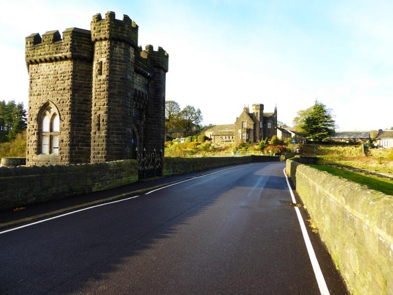
Photos - Hover over photo for caption. Click on to enlarge. Click on again to reduce.