Get Lost Mountaineering
You are here: Scotland » 00 Galloway and the Borders » Lowther Hills
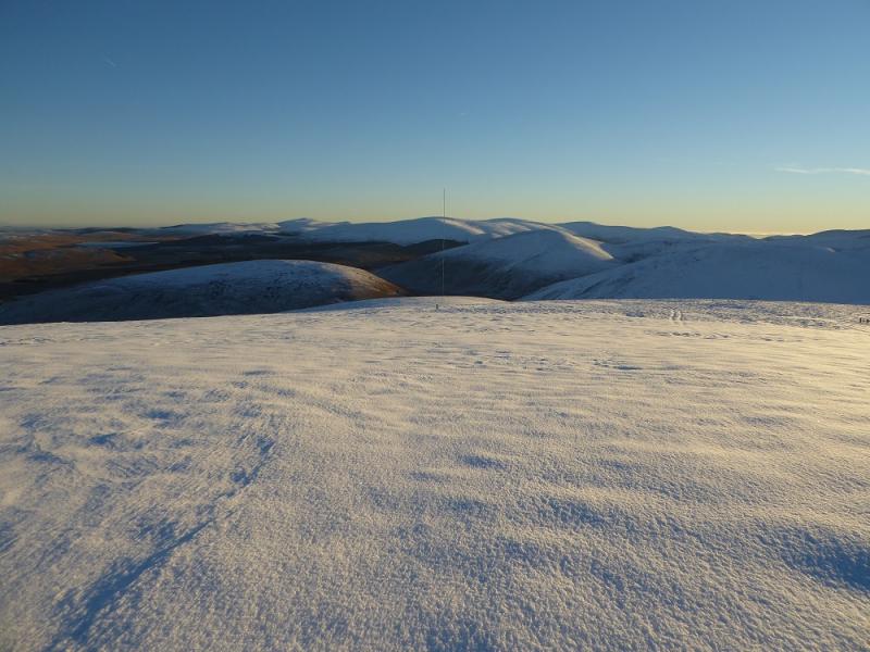
East Mount Lowther, Lowther Hill, Green Lowther, Dun Law & Lousie Wood Law from Overfinglen
East Mount Lowther, Lowther Hill, Green Lowther, Dun Law & Lousie Wood Law from Overfinglen
Start/Finish
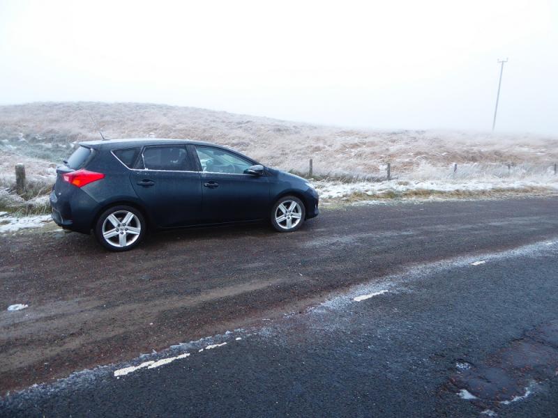
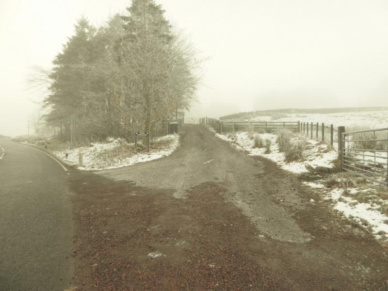
On the A702 near Overfinglen which is about 5 miles south of Elvanfoot which is off junction 14 of the M74. There is some old road just to the north of the Overfingland track which is the best place to park.
Distance/Time
23 km. About 7 – 8 hours.
Peaks
Cold Moss, 628 m, NS 898 094.
Lowther Hill, 725 m, NS 890 107.
East Mount Lowther, 631 m, NS 878 100.
Green Lowther, 732 m, NS 900 120.
Dun Law, 677 m, NS 916 136.
Lousie Wood Law, 618 m, NS 932 152.
OS Explorer sheet 329: Lowther Hill, Sanquhar & Leadhills.
Introduction
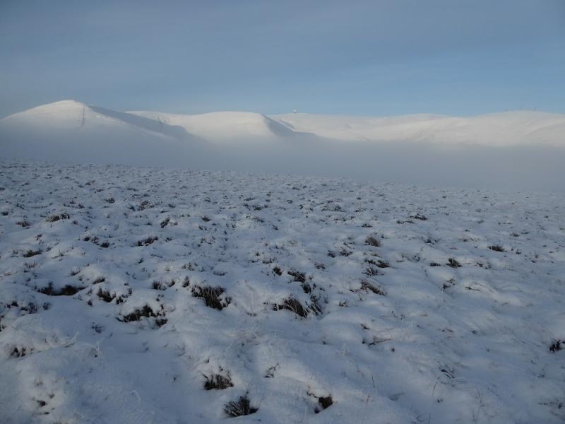
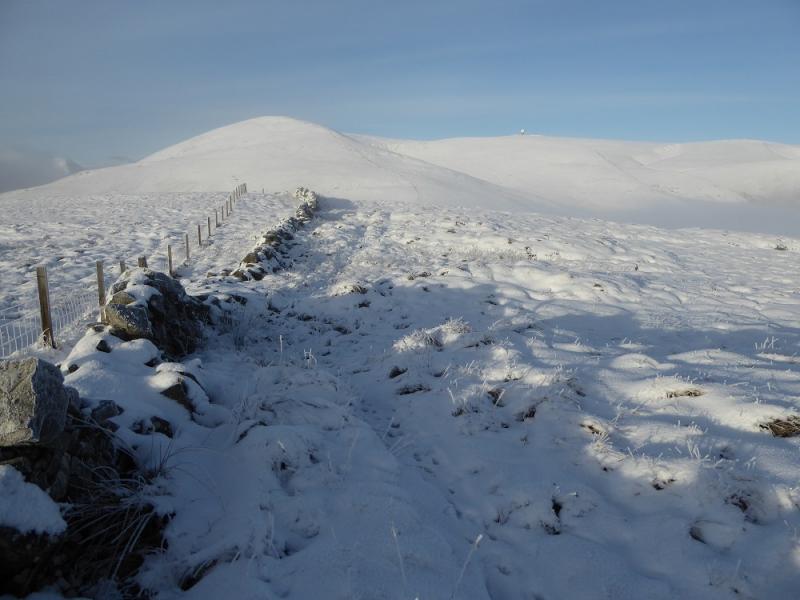
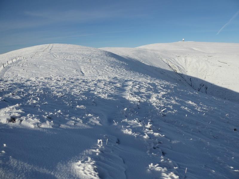
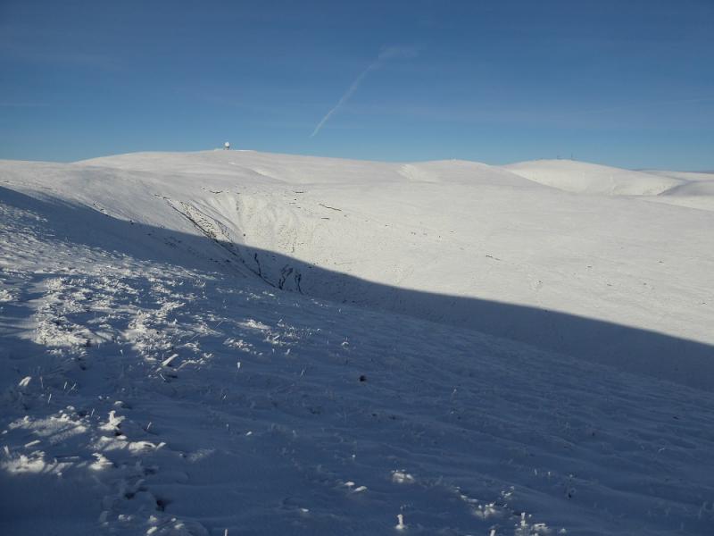
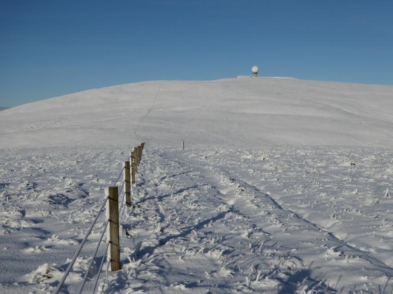
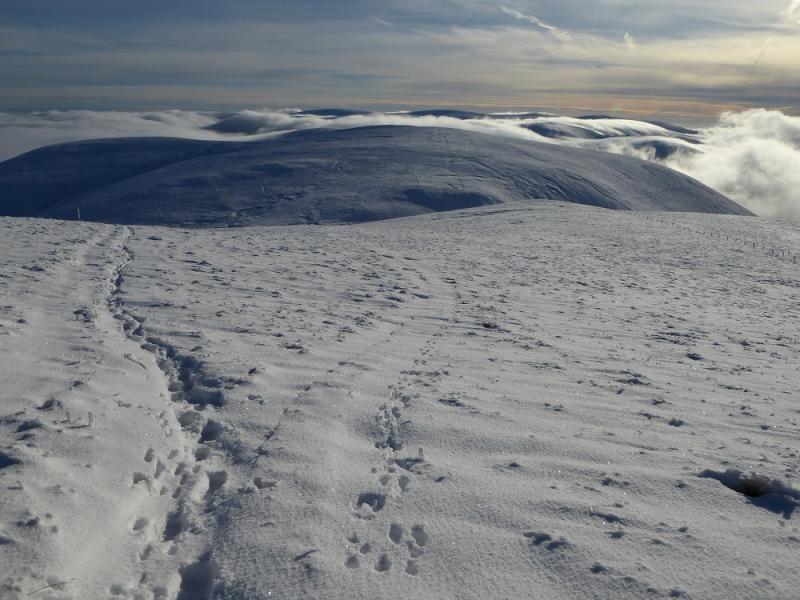
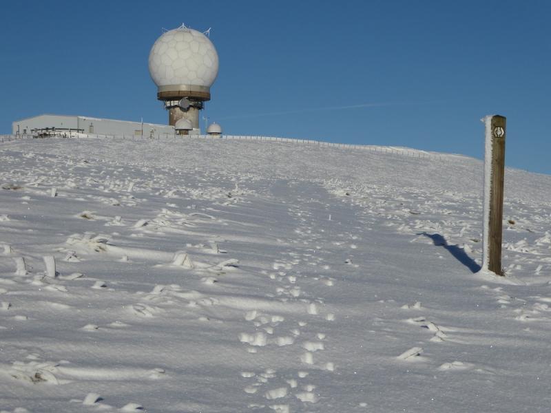
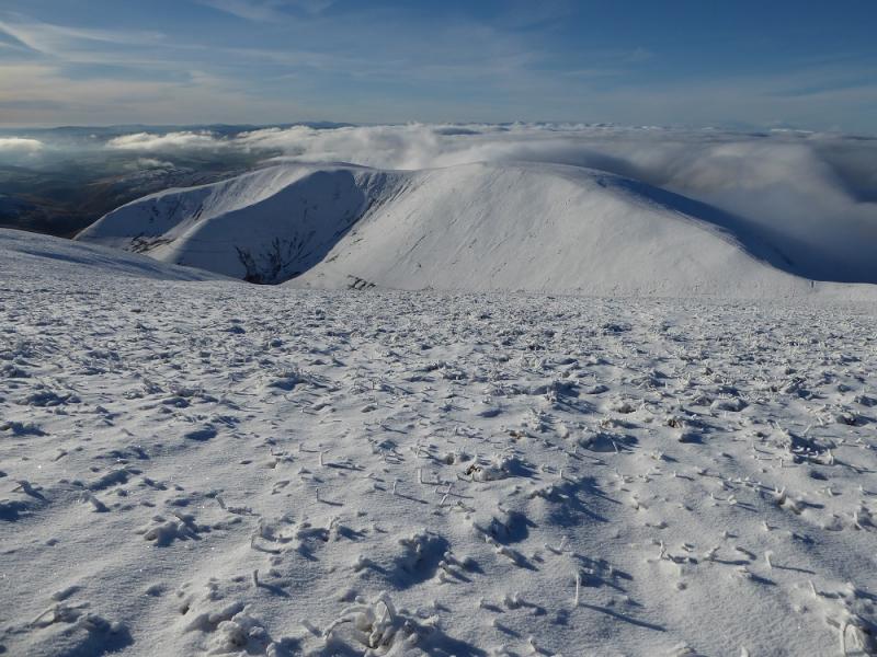
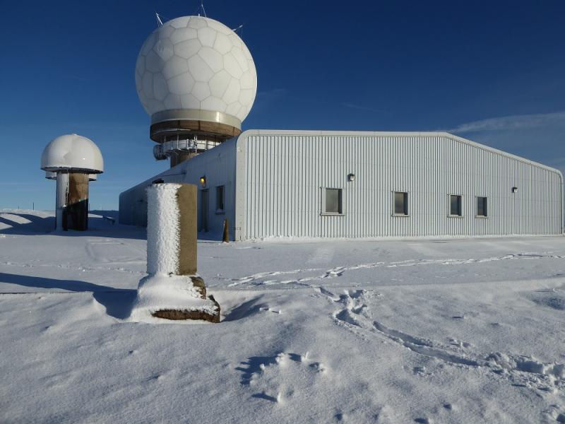
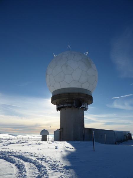
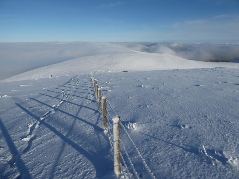
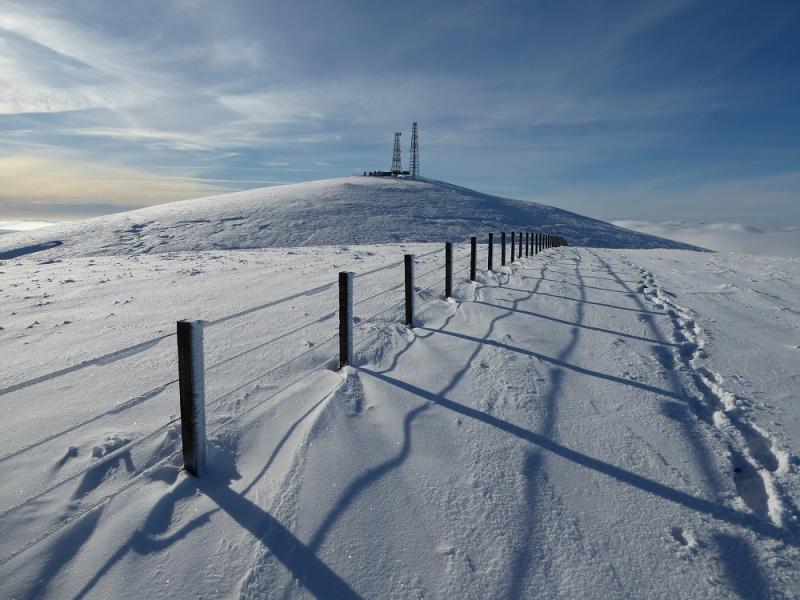
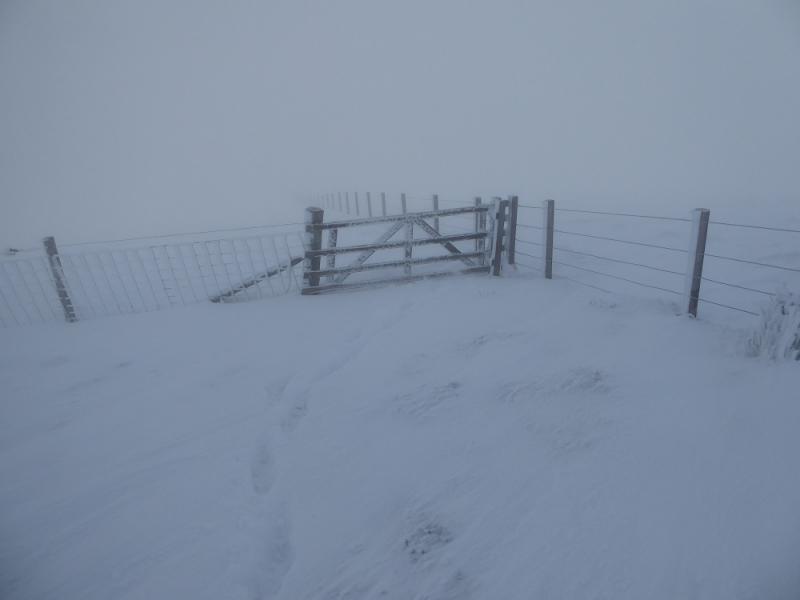
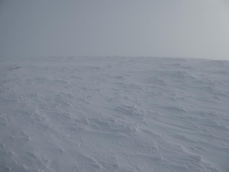
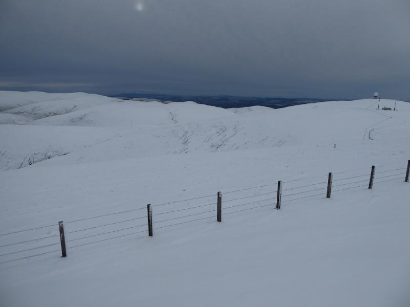
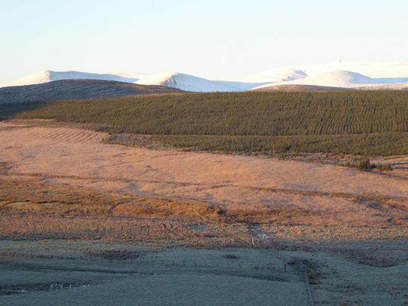
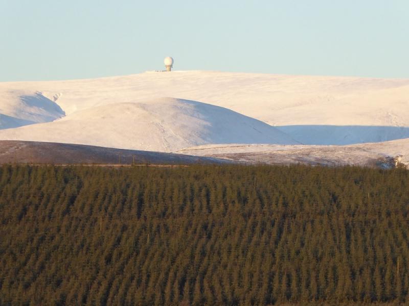
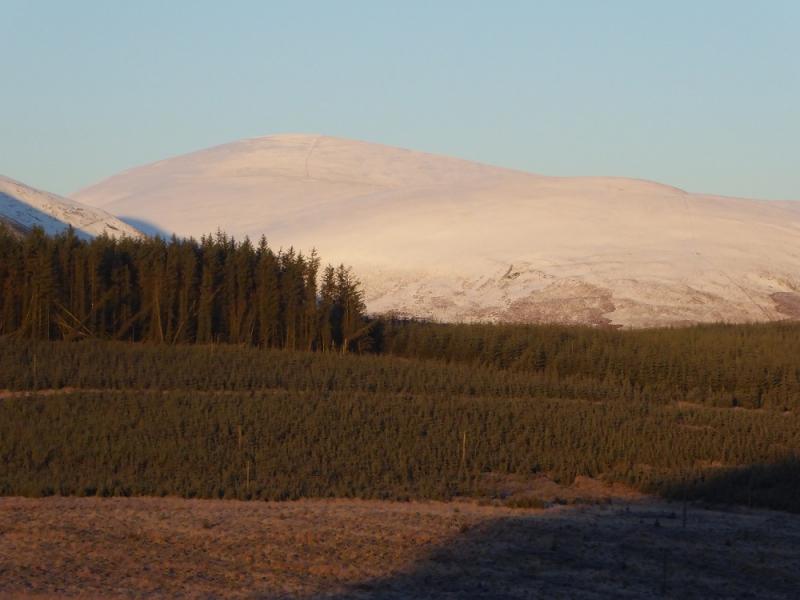
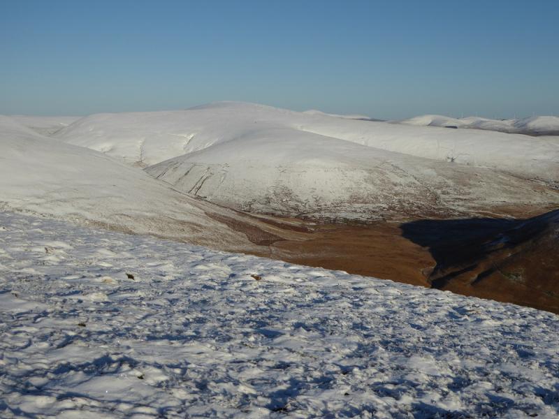
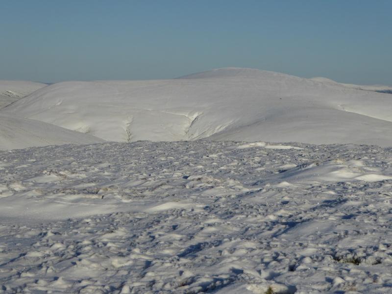
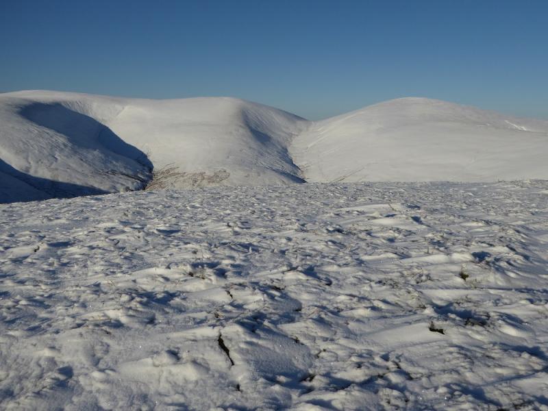
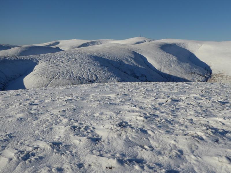
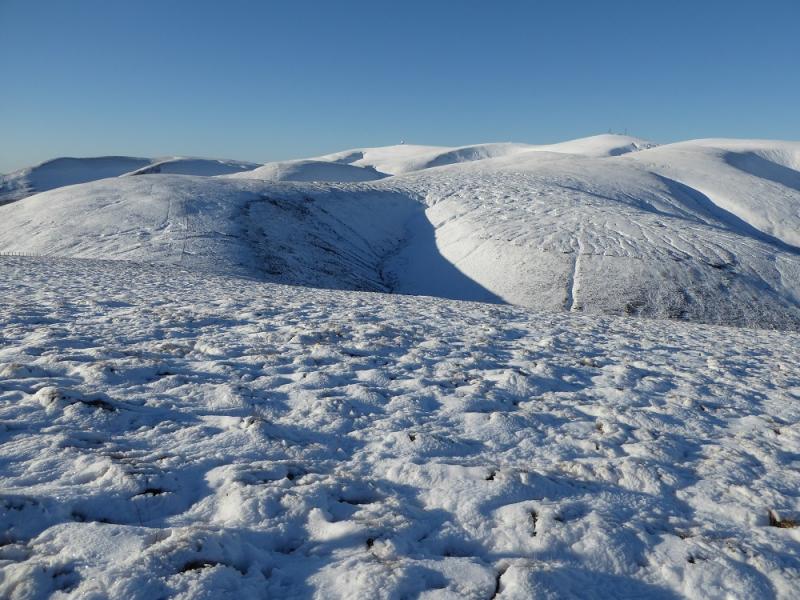
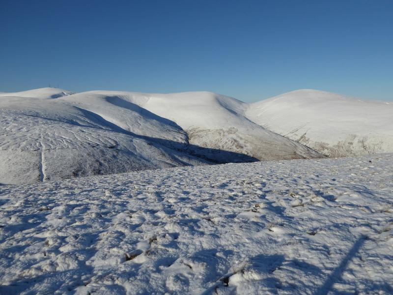
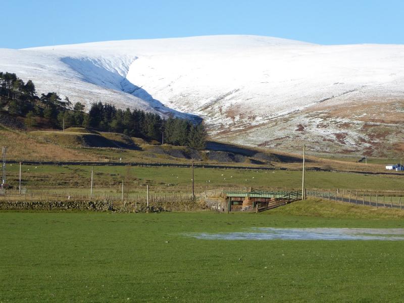
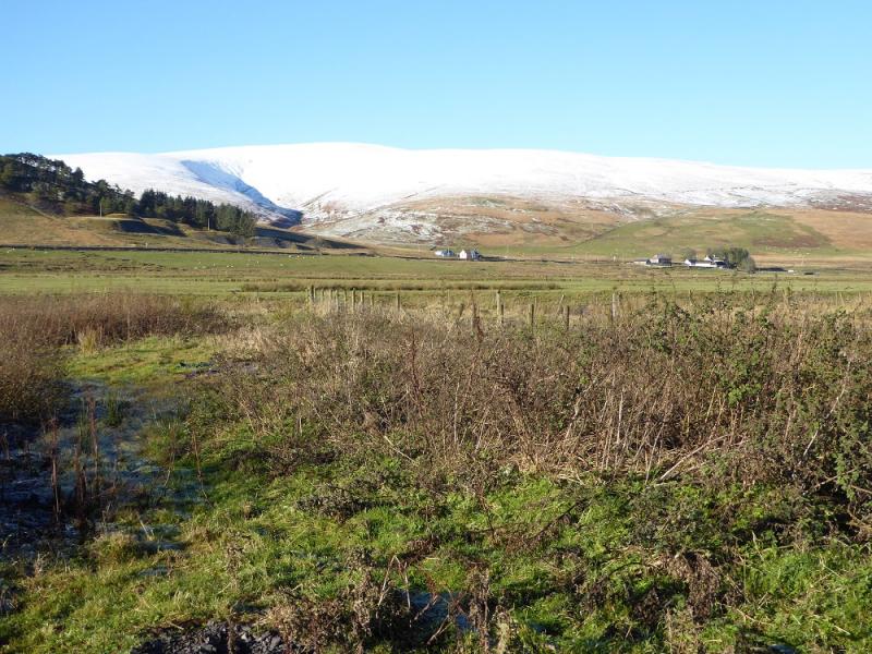
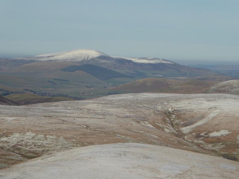
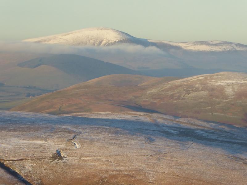
This round of one Graham and four Donalds is a lot tougher than one might expect with much up and down on quite rough ground. The drops between the tops are quite significant. It is essentially a linear walk so one has to walk back for 6 km along the A 702 at the end of the day. A bicycle would help or two cars. A bus service runs along the road so it might be worth enquiring about this. The hills are mainly grassy but there are some moderately steep slopes. There are good views to the Queensberry and Ballencleuch Law hills. Lowther Hill has a radar station on its summit and access to the actual highest point may not be possible as it inside a fenced compound although this is usually open. The compensation, if it can be called that, is that a road runs from Lowther Hill to Green Lowther, the highest point of the walk with a trig point and many tall aerials. Navigation is fairly easy, even in mist as walls and fences can be followed. Note that locals call Lousie Wood Law as Louise Wood Law which might suggest a spelling mistake on the OS map!
Route
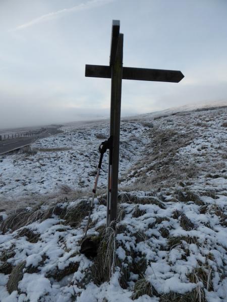
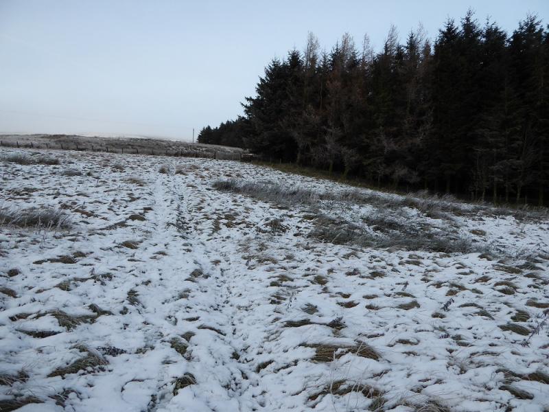
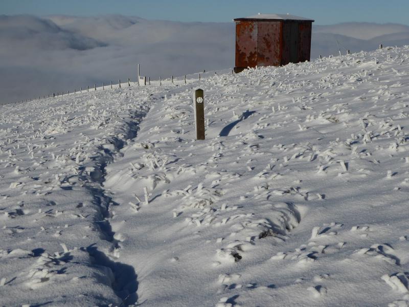
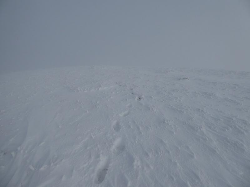
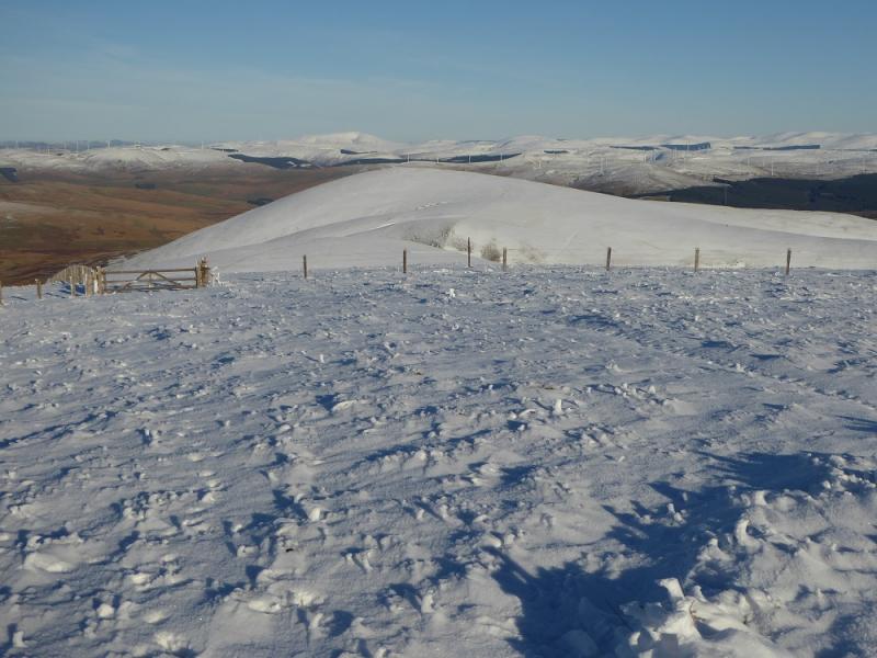
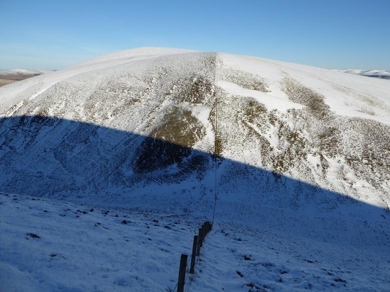
(1) Walk S down the road past the track to Overfingland then take the signed Southern Upland Way which is waymarked and needs to be as the route is very rough with boggy patches. Follow the path, shadowing a wall/fence up on to Laght Hill. Continue with, in the context of these hills, a big descent and reascent onto Comb Head to reach Cold Moss, 628 m which does not appear to have a summit cairn but its highest point is on, or very close, to the fence.
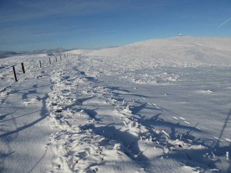
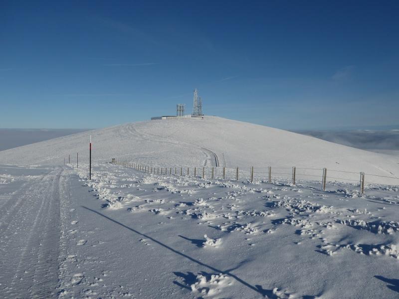
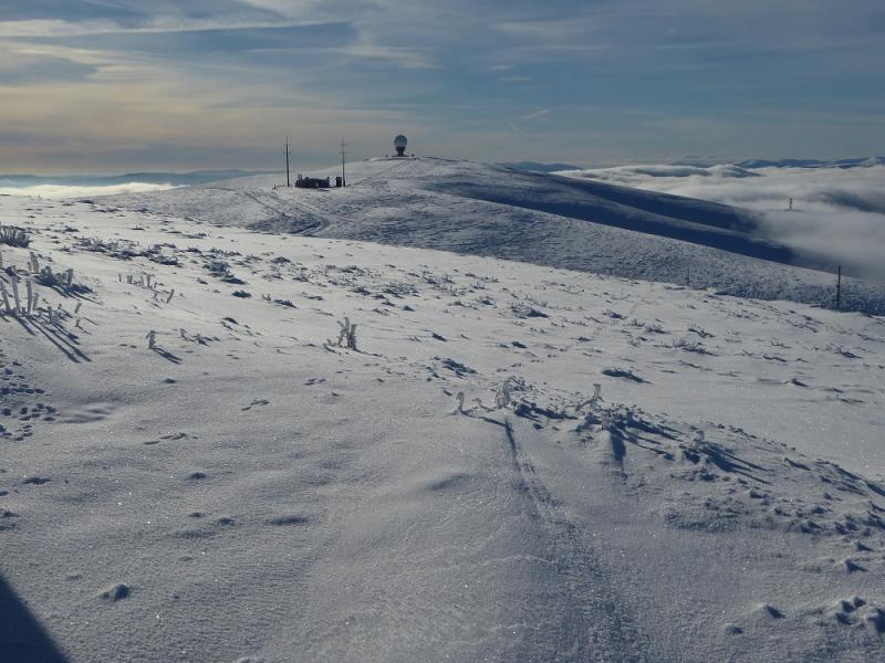
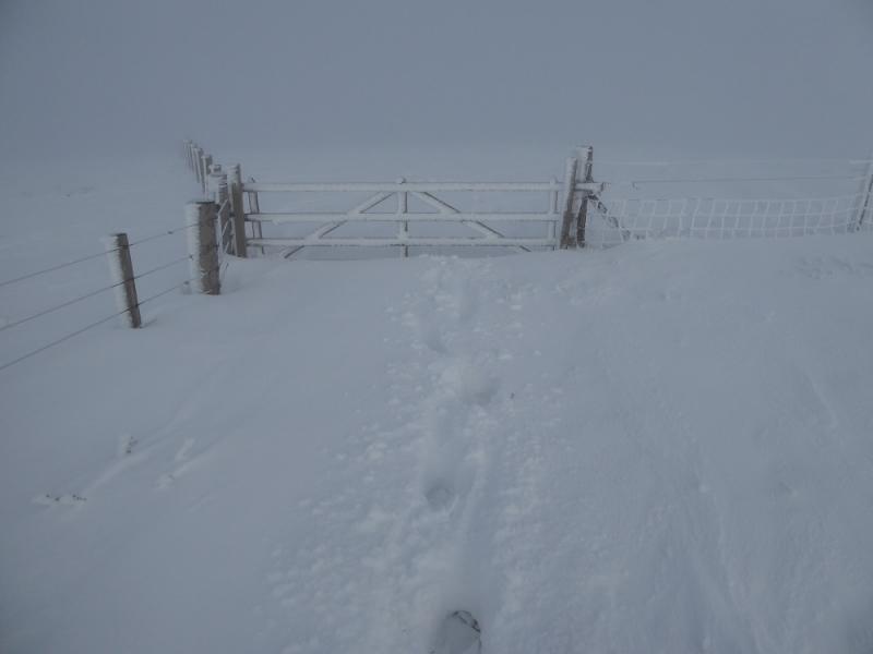
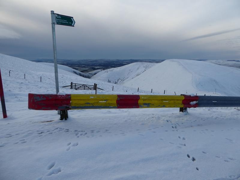
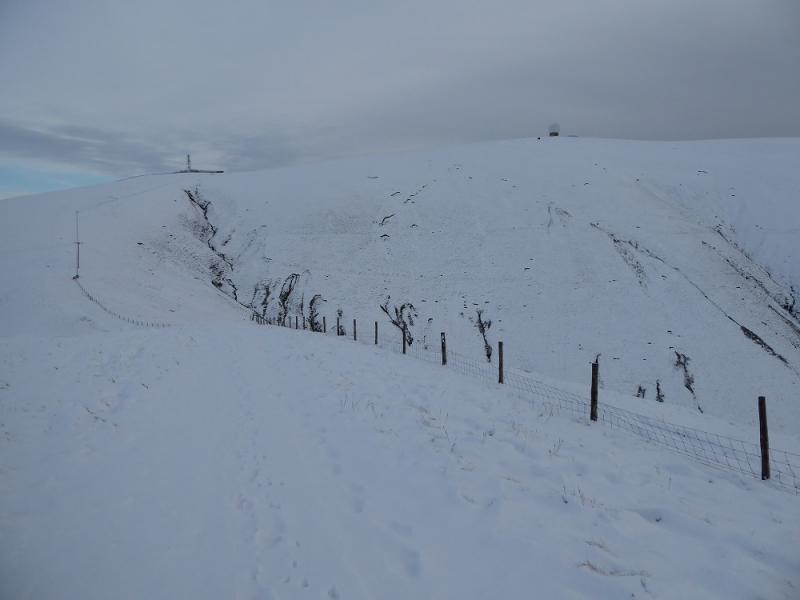
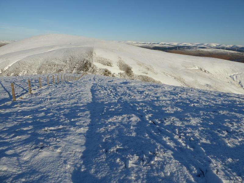
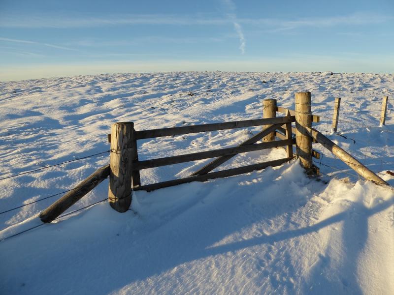
(2) Continue NW, following the path down to another deep gap then up towards the main radar station. Stay on the Southern Upland Way which traverses to the left of the summit and continue , descending, to meet the access road coming up from Wanlockhead. Reach a right angle bend with a large aerial on the right and a footpath sign opposite at the start of the crash barrier. Leave the road and follow the path down to the col, by a fence, then up the other side to reach a pillar which is a viewfinder cairn and marks the summit of East Mount Lowther, 631 m.
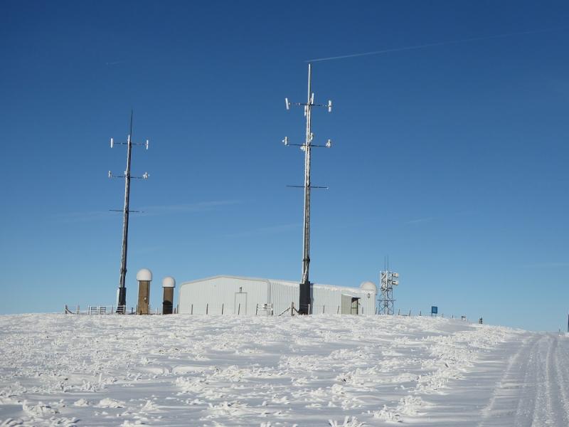
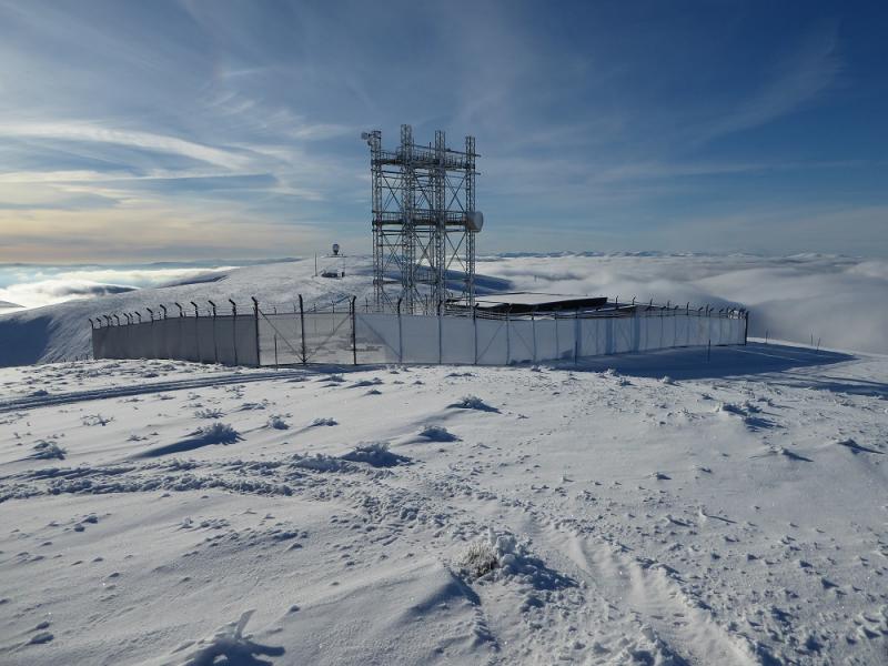
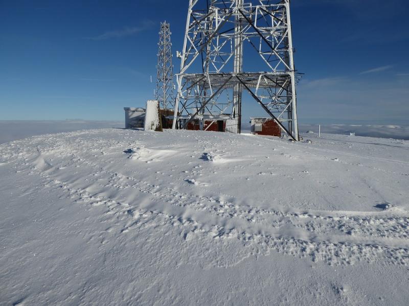
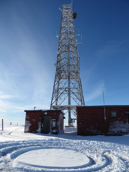
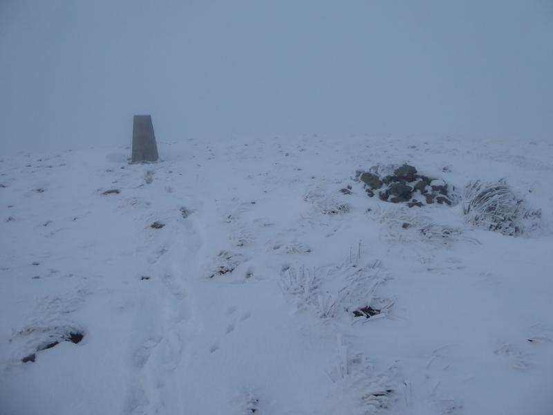
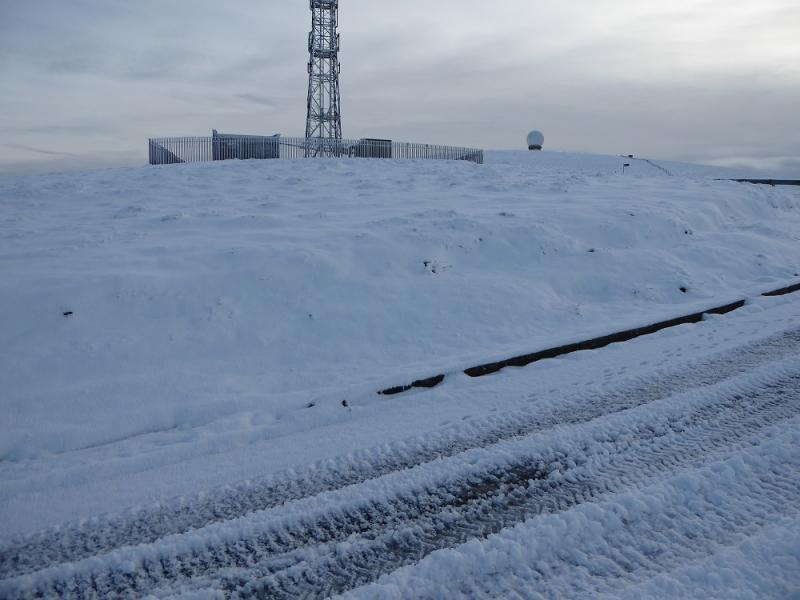
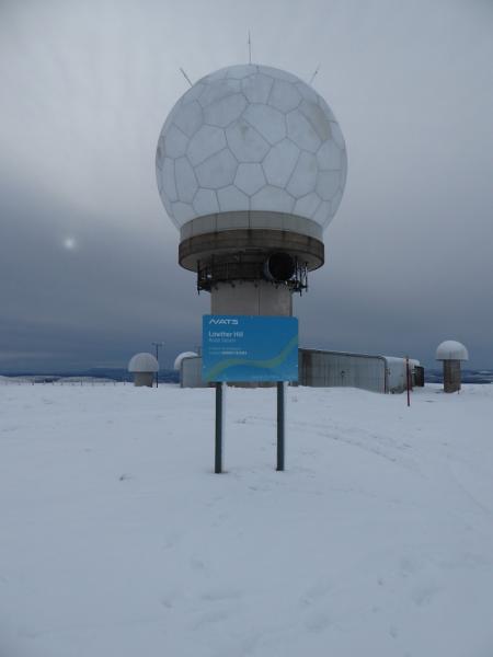
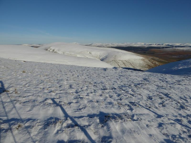
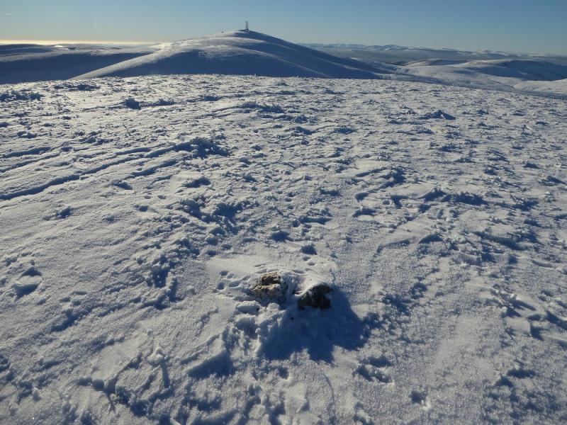
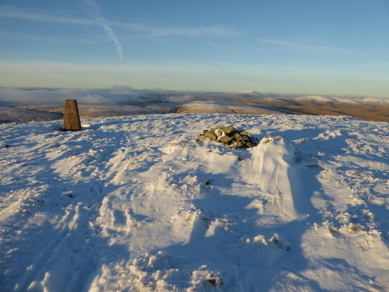
(3) Retrace back to the road by the aerial and follow it up to the radar station which looks like a giant golf ball. Try and find the highest point, which is inside the low fenced area. This may not be accessible to you but no access problems seem to have been reported. The highest point is unmarked but seems close to the sign with the grid reference on it so that would be the summit of Lowther Hill, 725 m.
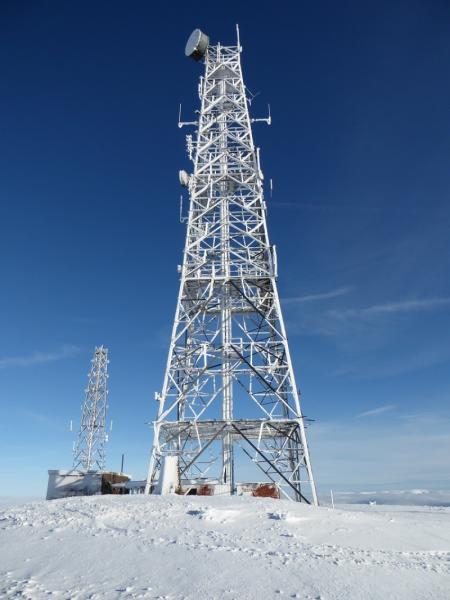
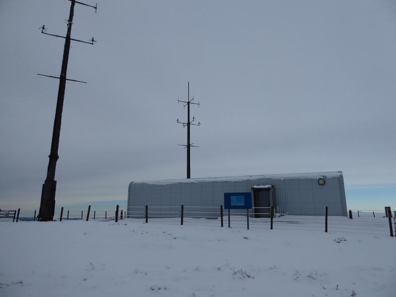
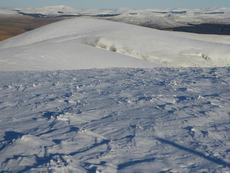
(4) Retrace to Lowther Hill and follow the road NE over Green Trough, then a dip, to reach the radio station where a trig point marks the summit of Green Lowther, 732 m.
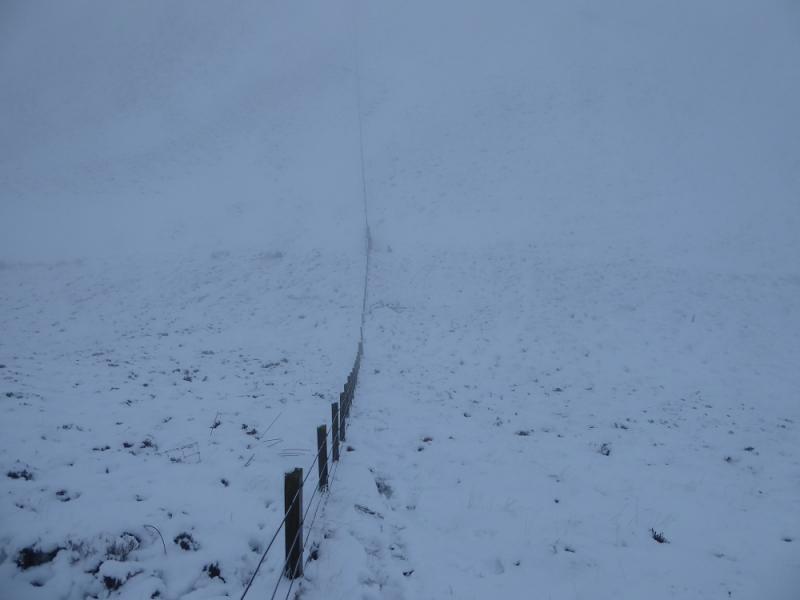
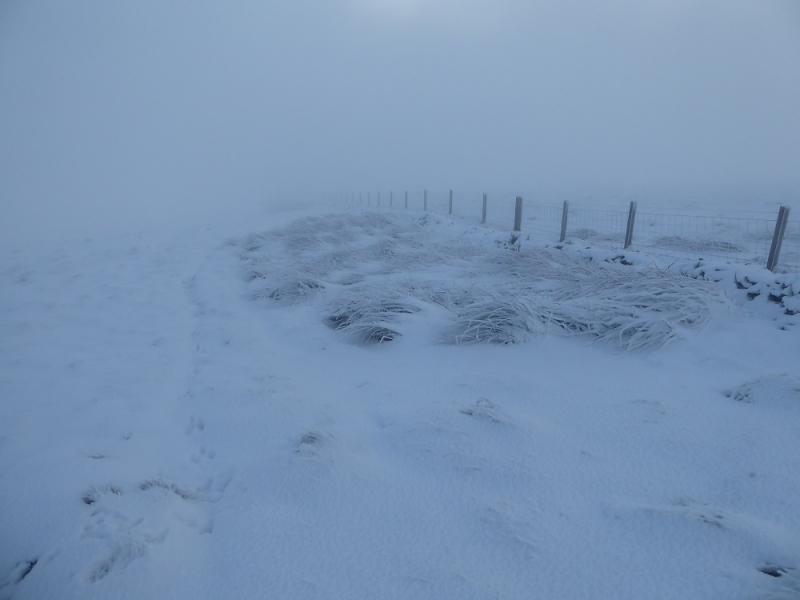
(5) Continue following the wall NE to a dip then over Peden Head and Dungrain Law where there is a steeper and longer descent followed by a similar ascent to reach a small featureless plateau where it is difficult to tell where the highest point is but if one looks around, there is a tiny cairn which could be the summit of Dun Law, 677 m.
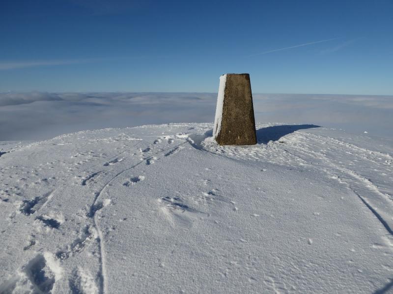
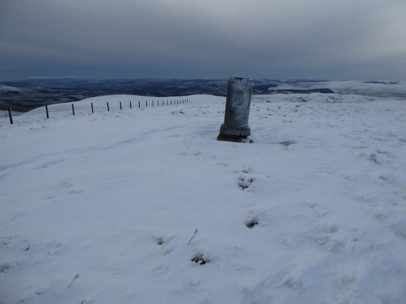
(6) Continue following the wall NE down to a dip then over White Law after which there is a steep descent into the col known as Little Windgate Hass followed by an equally steep climb out over Black Law then on to a fence junction. From here go NNW for about 150 m to reach the trig point, by a small cairn, which marks the summit of Lousie Wood Law, 618 m.
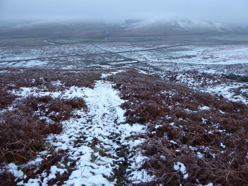
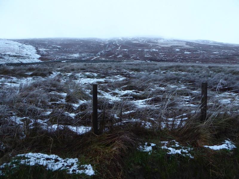
(7) The easiest descent route is to return to the fence junction then follow the fence/wall going ESE. There is a rough ATV track in places. Follow the wall/fence all the way down to the road. Turn right, S, and walk for 6 km back to the start.
Notes
(a) This walk took place on 20th November, 2016, and about 15 years earlier.
Photos - Hover over photo for caption. Click on to enlarge. Click on again to reduce.