Get Lost Mountaineering
You are here: Scotland » 00 Galloway and the Borders » Lowther Hills
East Mount Lowther, Lowther Hill & Green Lowther from Wanlockhead
East Mount Lowther, Lowther Hill & Green Lowther
from Wanlockhead
Start/Finish
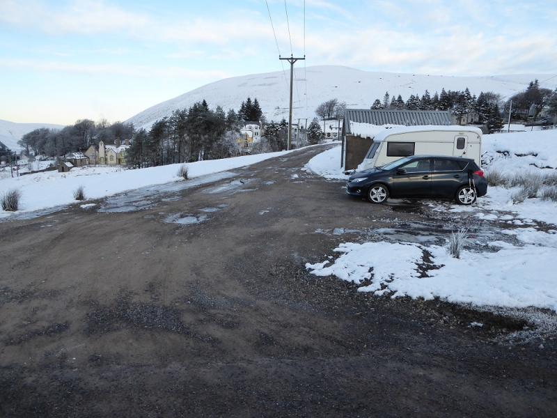
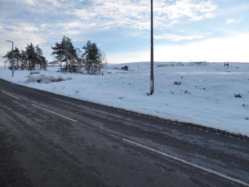
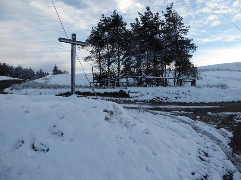
Wanlockhead village which is on the B797 road from Abington to Mennock. Don't go into the village but pass it on its south side. Look for some white bungalows uphill on the left and the Southern Upland Way signpost at the foot of their access track which leaves the B797 opposite a playground. A little further on, south, is a rough parking spot, with a garage, on the right.
Distance/Time
11 km. About 4 hours
Peaks
East Mount Lowther, 631 m, NS 878 100.
Lowther Hill, 725 m, NS 890 107.
Green Lowther, 732 m, NS 900 120.
OS Explorer sheet 329: Lowther Hill, Sanquhar & Leadhills.
Introduction
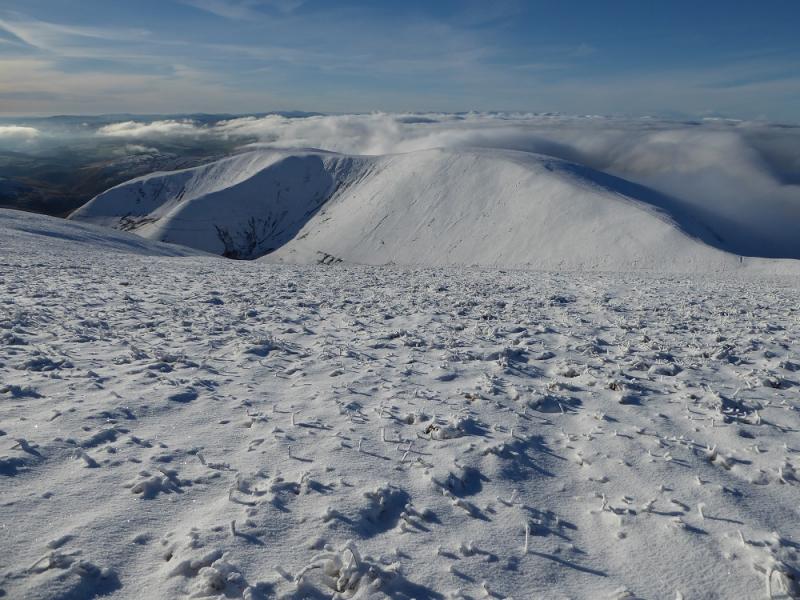
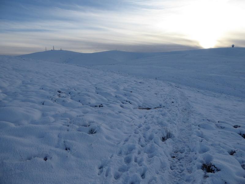
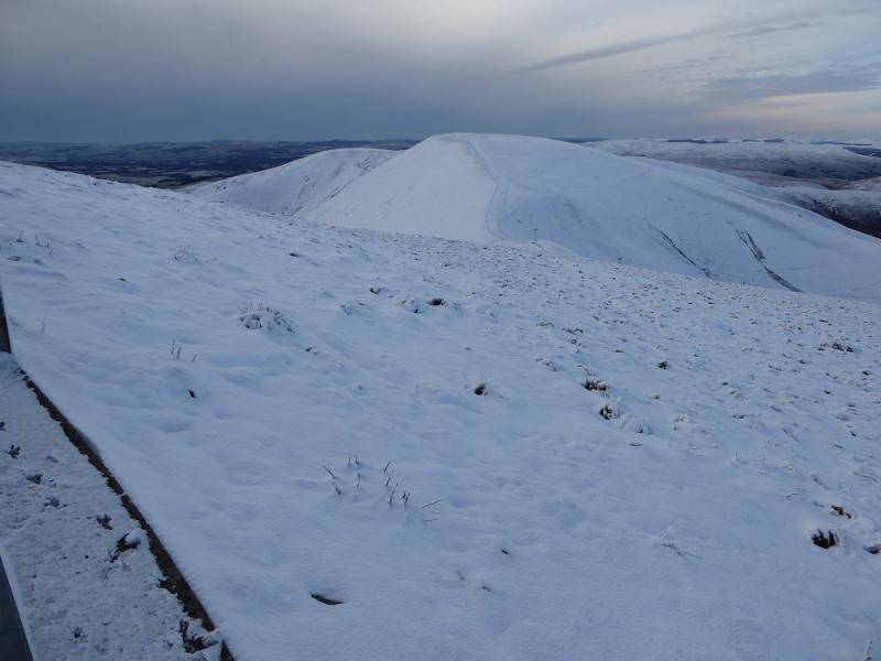
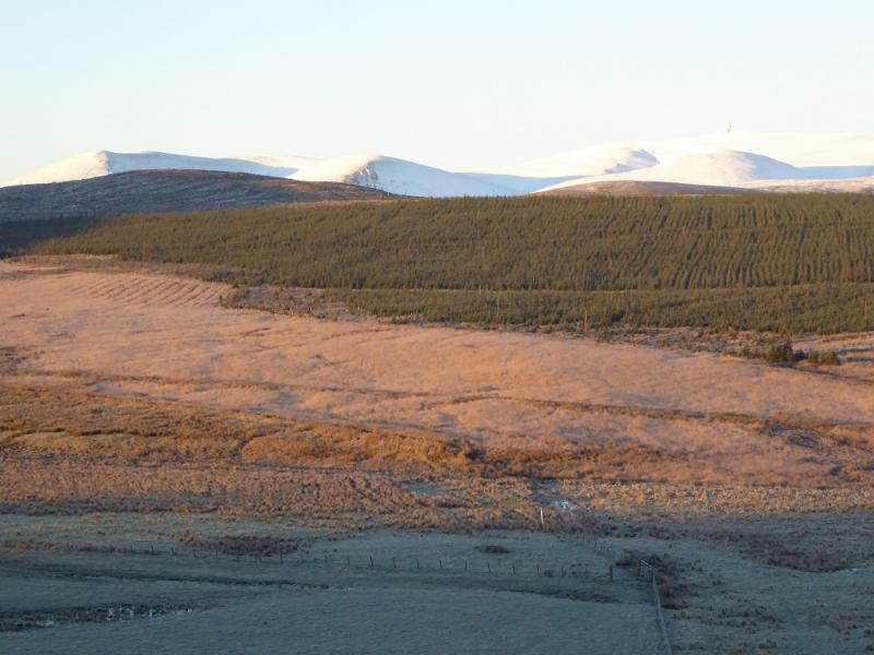
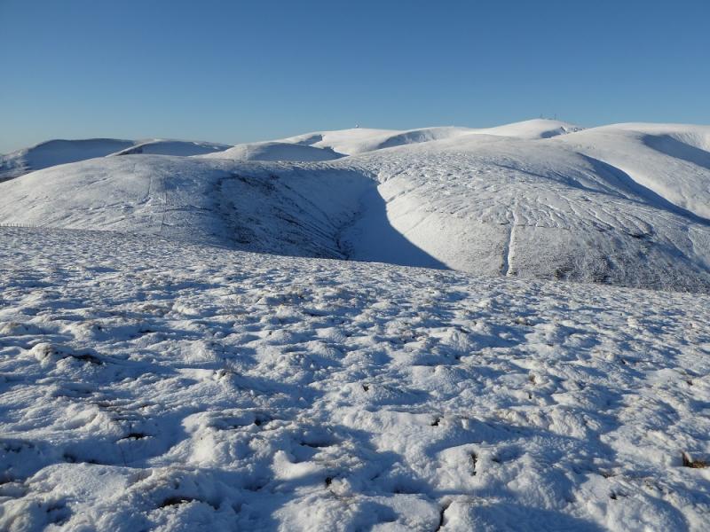
For those wanting easy access to the only Graham, Green Lowther, in this range then this is the obvious route. East Mount Lowther adds about 40 minutes and gives very good views which is probably why it has a viewfinder cairn on its summit. Lowther Hill has to be crossed anyway to get to Green Lowther. In clear weather, one can see a long, long way perhaps to Arran. The closest hills are the Ballencleuch Law range across the A 702 to the east.
Route
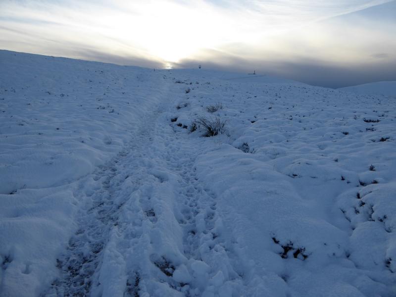
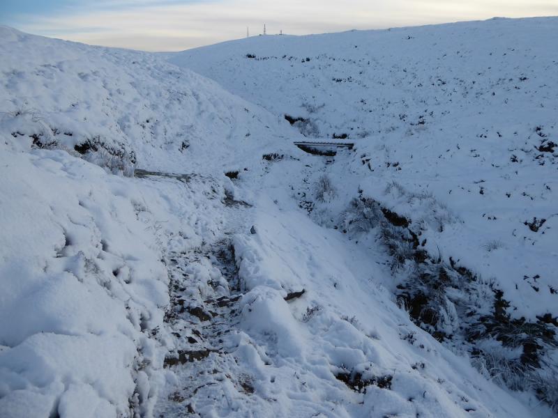
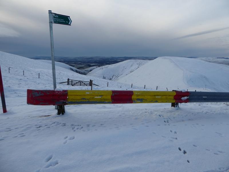
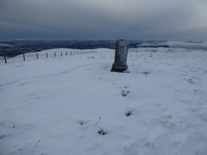
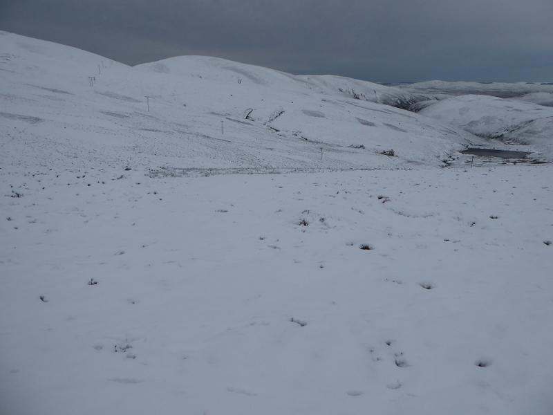
(1) Walk up the track to the bungalows then continue ahead on the signed Southern Upland Way. This leads up and crosses upper Mossy Burn by a bridge. Higher up it joins the access road to Lowther Hill. The road is the easier option to follow but the Southern Upland Way can be followed if you prefer. It follows the road in places and cuts corners in others. Reach a large aerial on the road opposite a crash barrier. At the top of the barrier is a sign post for a path which goes down to the col below East Mount Lowther. There is a fence to the left of the path. Follow the path and fence up from the col to reach a pillar which is a viewfinder cairn and marks the summit of East Mount Lowther, 631 m.
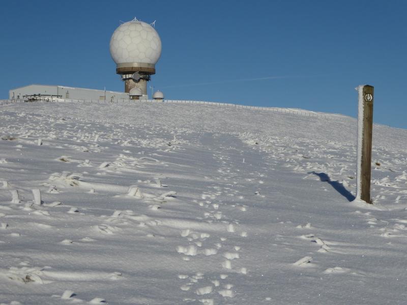
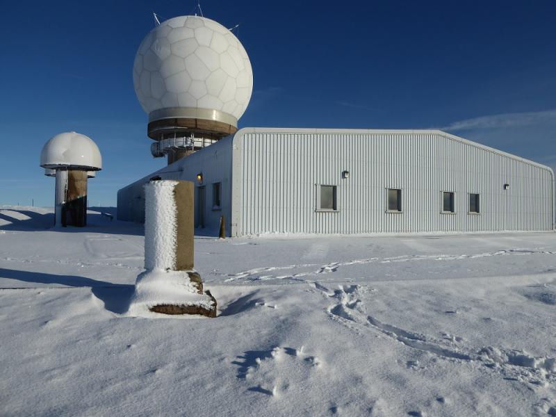
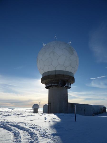
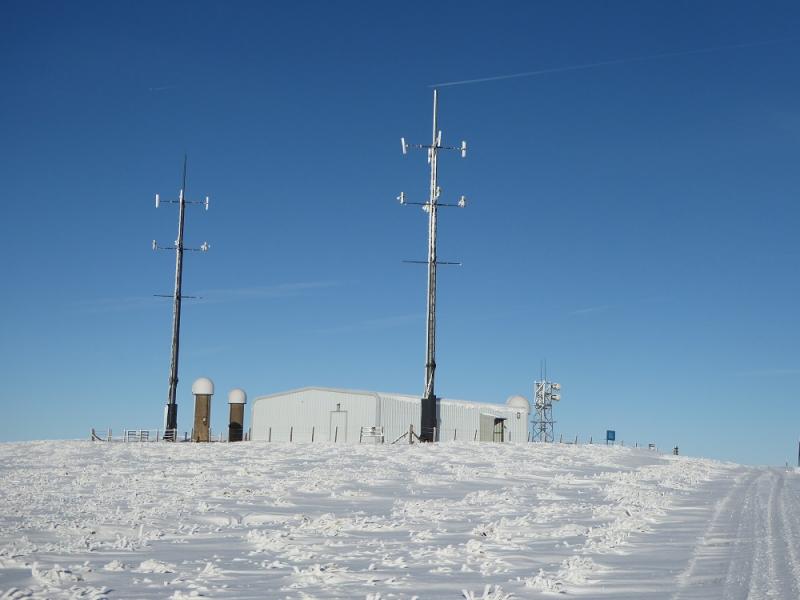
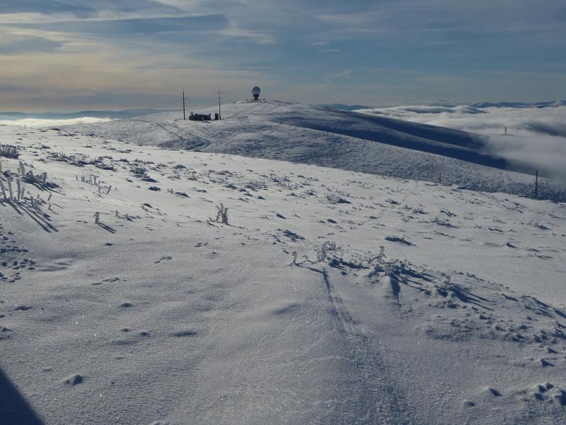
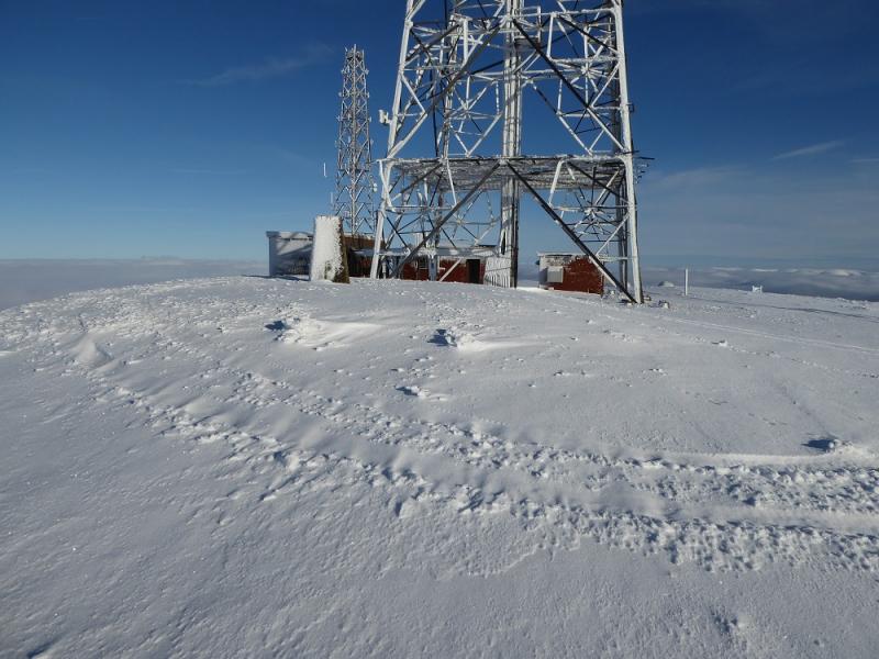
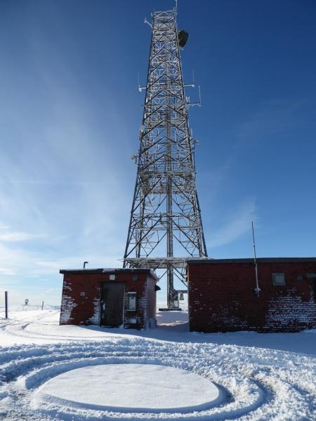
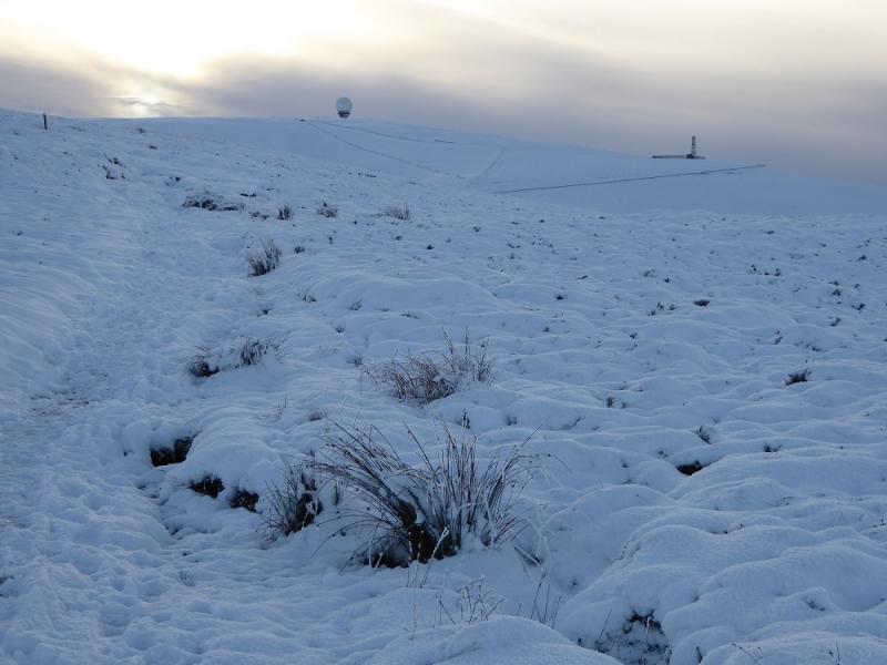
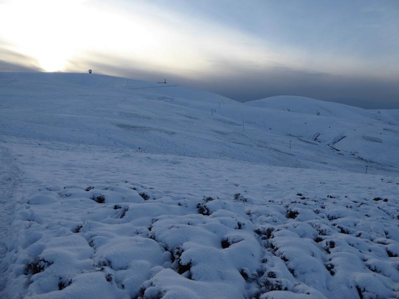
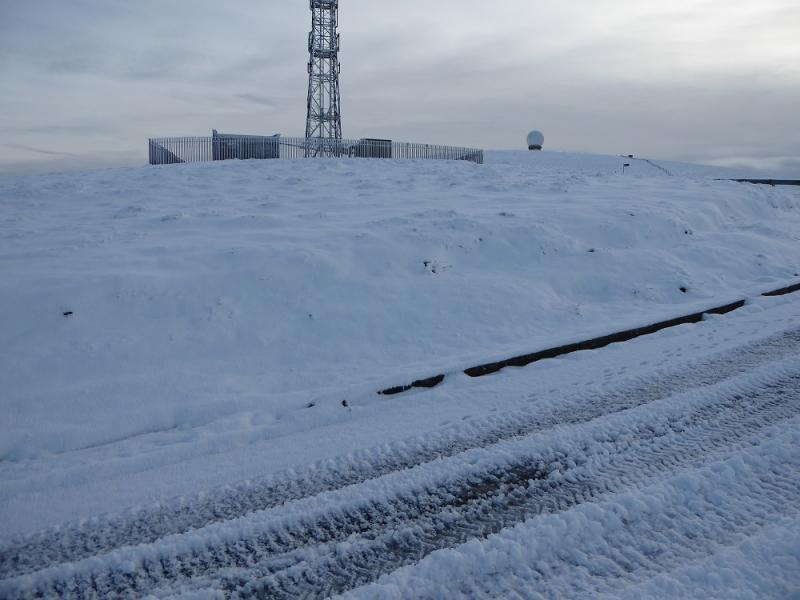
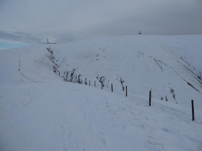
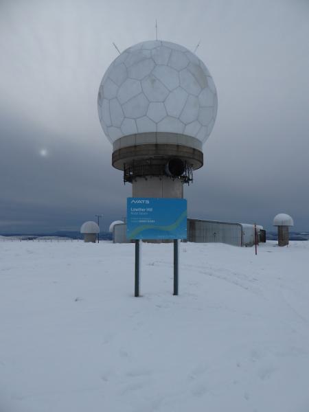
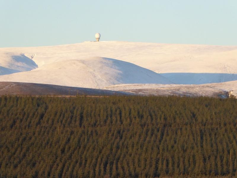
(2) Retrace back to the road by the aerial and follow it up to the radar station which looks like a giant golf ball. Try and find the highest point, which is inside the low fenced area. This may not be accessible to you but no access problems seem to have been reported. The highest point is unmarked but seems close to the sign with the grid reference on it so that would be the summit of Lowther Hill, 725 m.
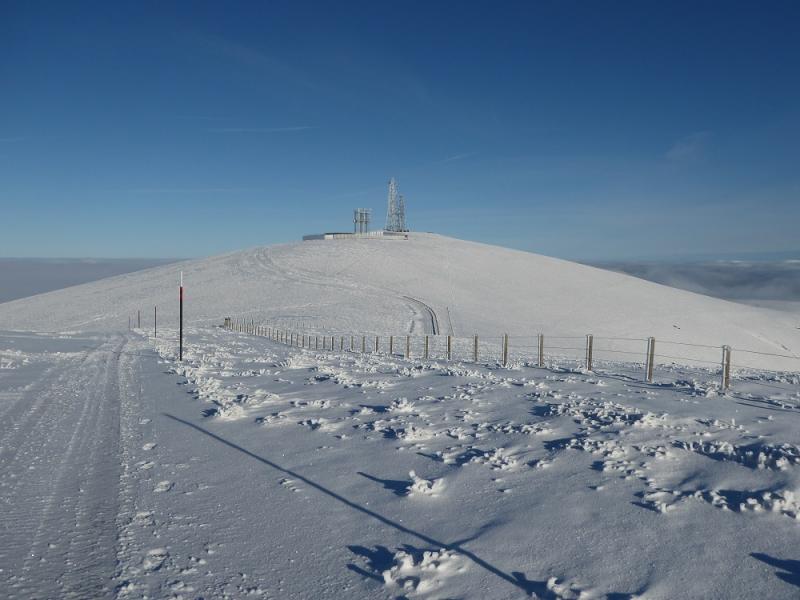
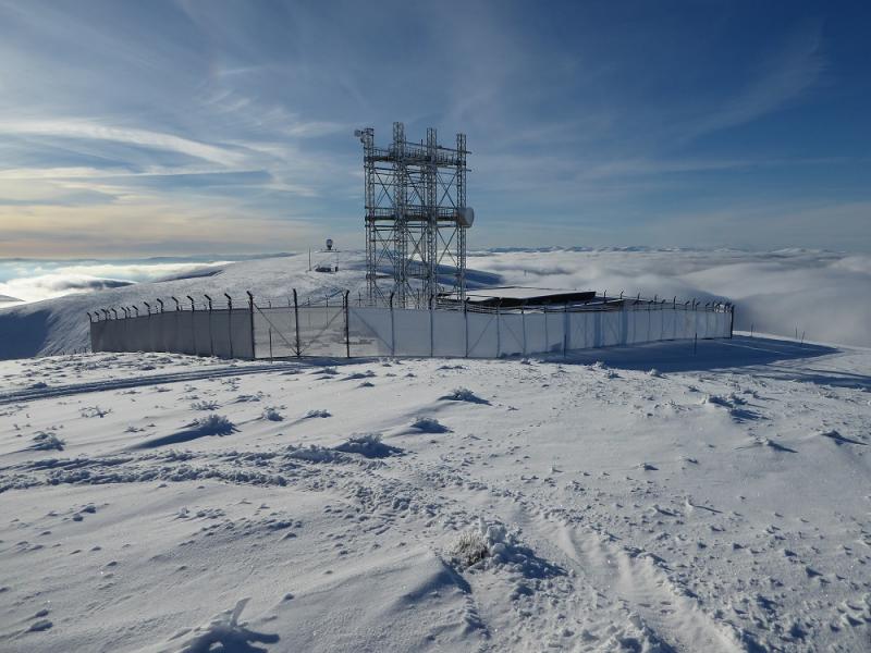
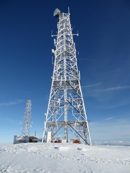
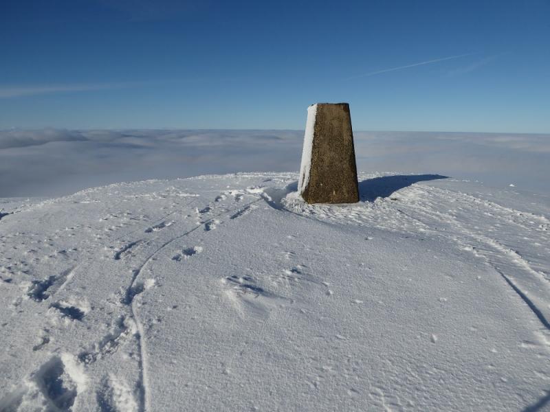
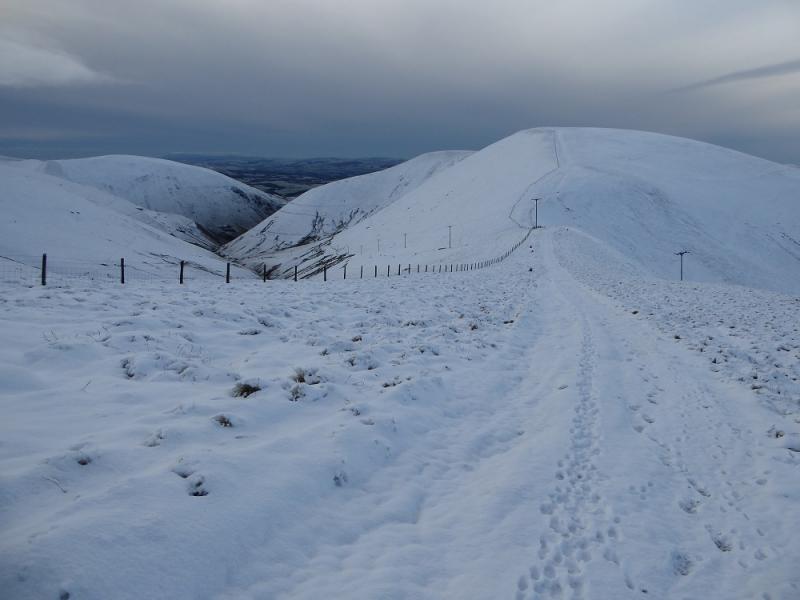
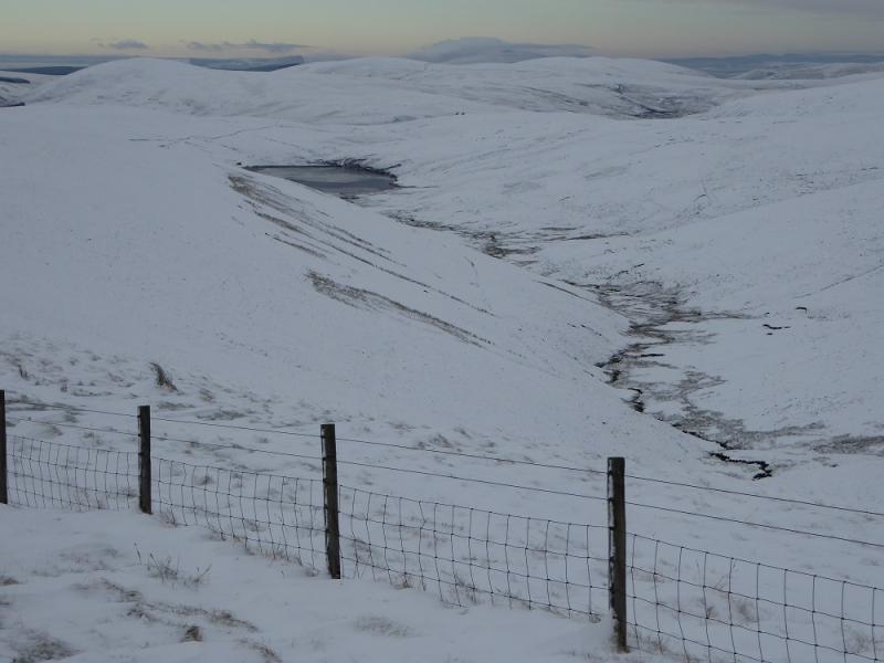
(3) Follow the road NE over Green Trough, then a dip, to reach the radio station where a trig point marks the summit of Green Lowther, 732 m.
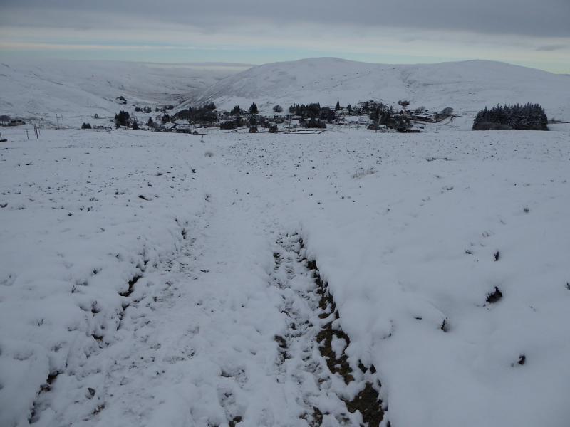
(4) Retrace to Green Trough and Lowther Hill then back down the access road and Southern Upland Way to Wanlockhead.
Notes
(a) This walk took place on 21st November, 2016.
Photos - Hover over photo for caption. Click on to enlarge. Click on again to reduce.