Get Lost Mountaineering
You are here: Scotland » 00 Galloway and the Borders » Lowther Hills
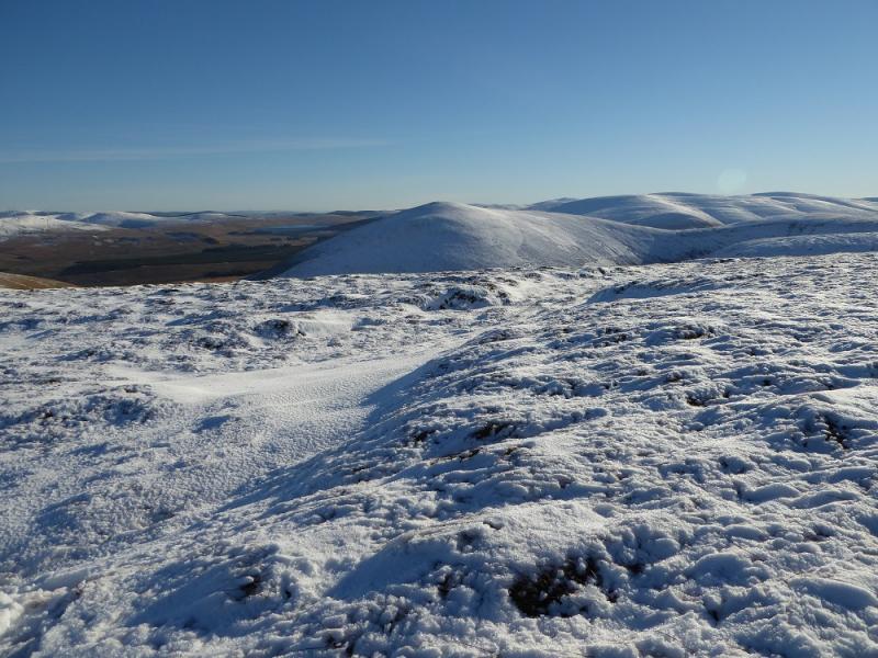
Faugh from Peden on A702
Faugh from Peden on A702
Start/Finish
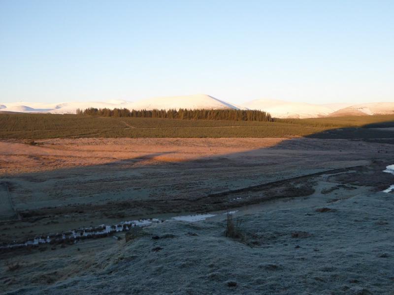
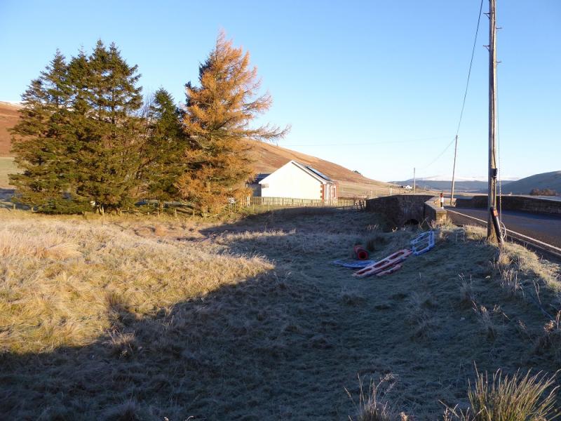
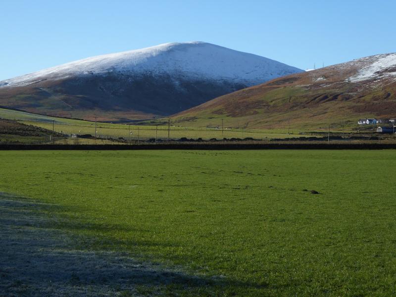
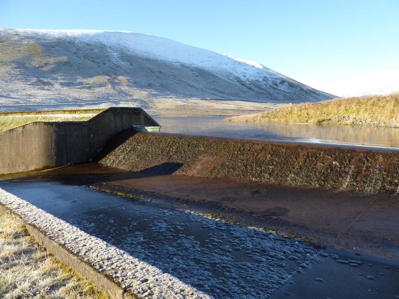
On the A702 near Peden, a lone cottage by the track to Peden Reservoir, which is about 3 miles south of Elvanfoot which is off junction 14 of the M74. Try to park sensibly even if it means walking a little further.
Distance/Time
3 km. About 2 – 3 hours.
Peaks
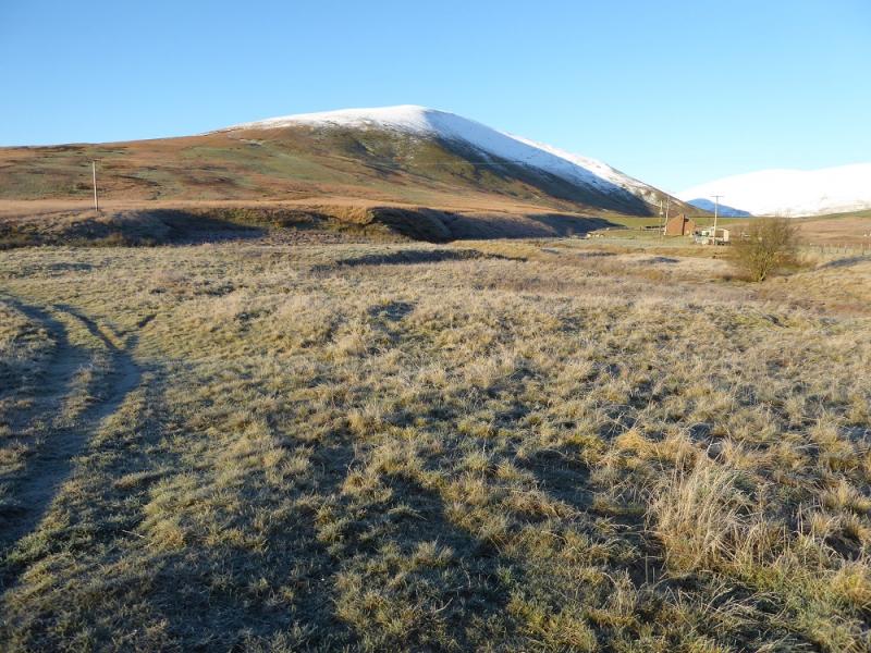
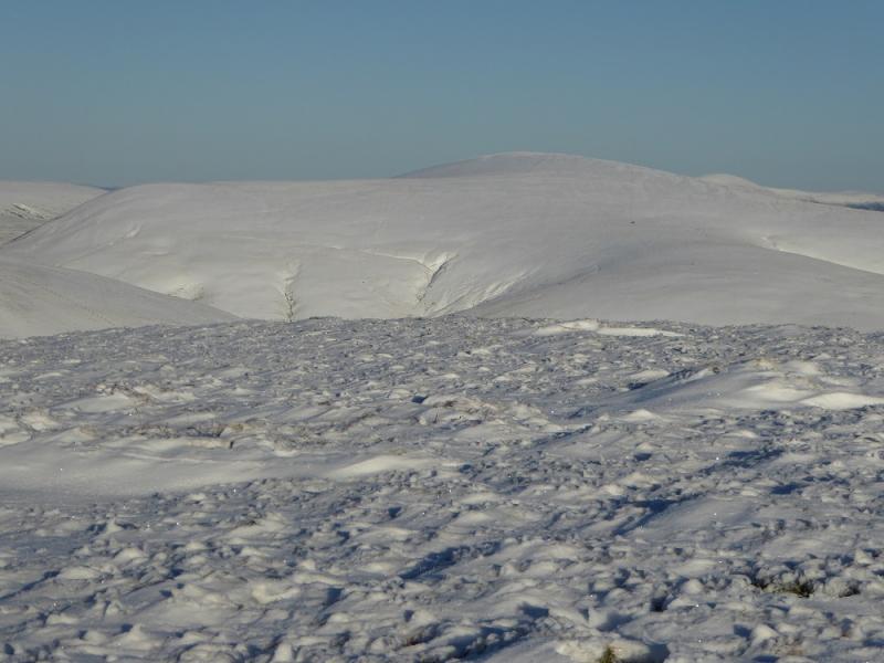
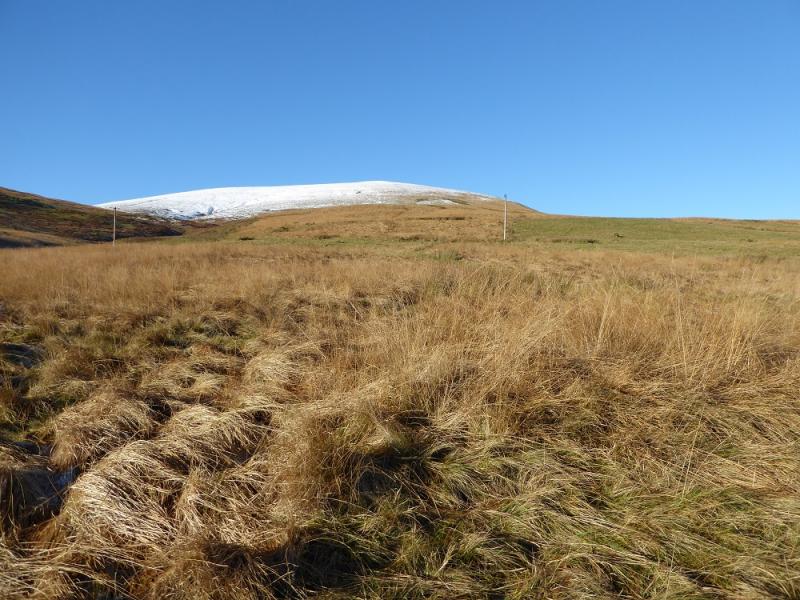
Faugh, 583 m, NS 931 122.
OS Explorer sheet 329: Lowther Hill, Sanquhar & Leadhills.
Introduction
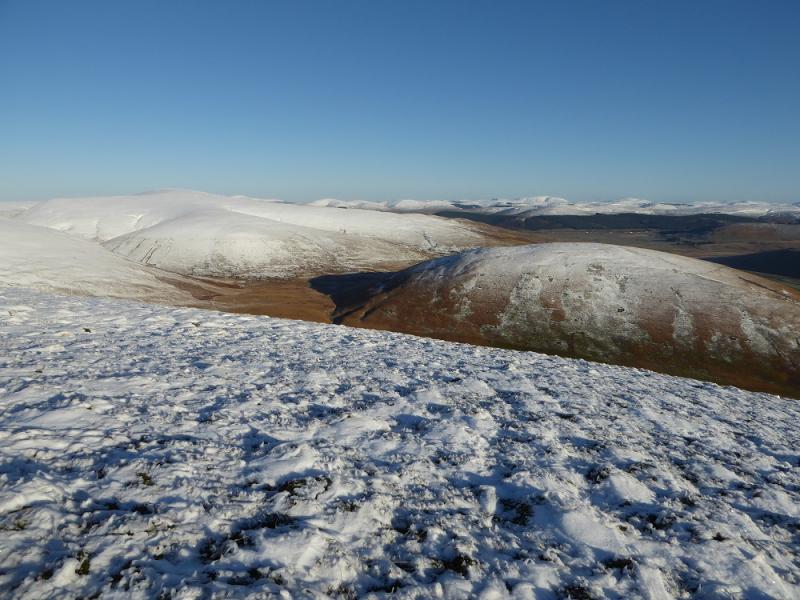
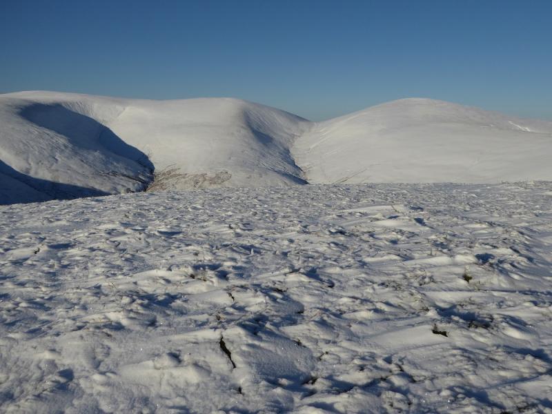
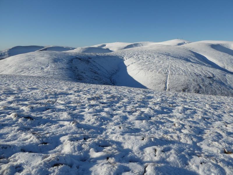
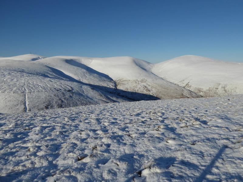
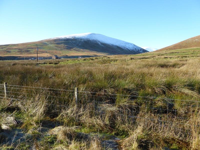
This hill is an off shoot of the main ridge of the Lowther Hills with which it connects via Stowgill Dod and Peden Head. It is an excellent view point for the main ridge. The going is rough but there are ATV tracks which help. Under fresh soft snow, the going can be slow. There is a fence, not shown on the map, which runs below the summit on its W side and goes to Stowgill Dod.
Route
(1) Cross to the S side of the bridge at Peden then look for a grassy ATV track going roughly SW. Follow this, taking the left fork when it soon splits, until it seems to peter out then just pick a way up well to the left of the obvious fence and trying to follow the crest. Eventually reach a small plateau and look for the highest point which isn't obvious as there is no cairn to mark the summit of Faugh, 583 m.
(2) One can retrace the ascent route or descend about halfway to the col to Stowgill Dod then descend SE then E down to the road staying well to the N of Little Peden Burn. There is a faint ATV track which becomes more obvious lower down. Walk N along the road back to the start.
Notes
(a) This walk took place on 23rd November, 2016.
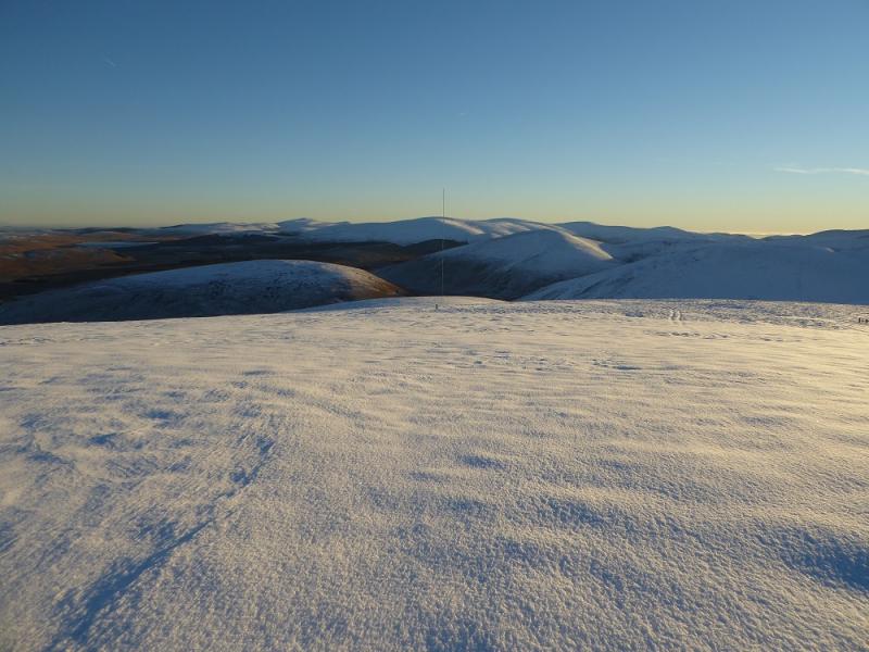
Photos - Hover over photo for caption. Click on to enlarge. Click on again to reduce.