Get Lost Mountaineering
You are here: Scotland » 00 Galloway and the Borders » Culter Fells and Tinto
Hudderstone from Birthwood Farm
Hudderstone from Birthwood Farm
Start/Finish
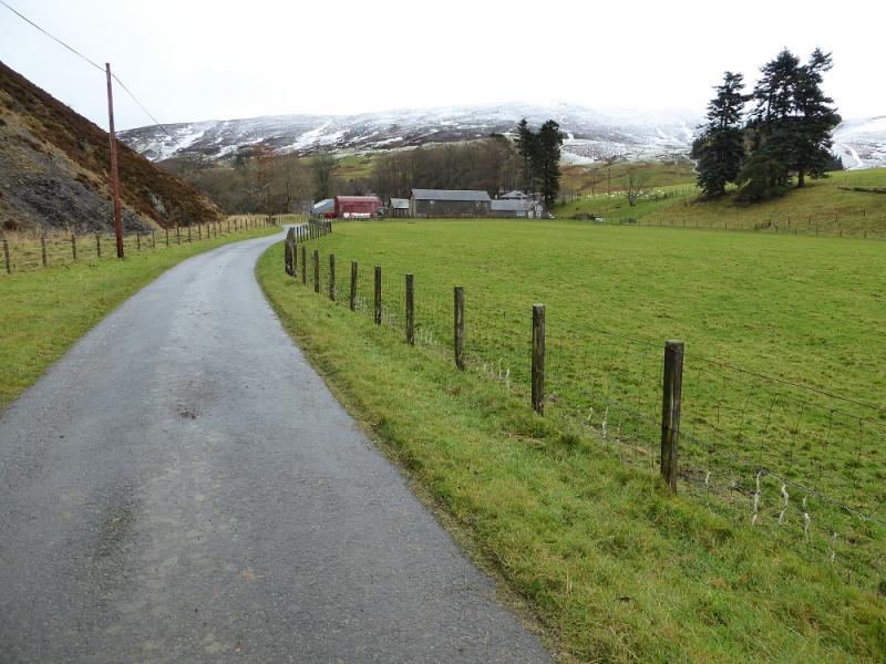
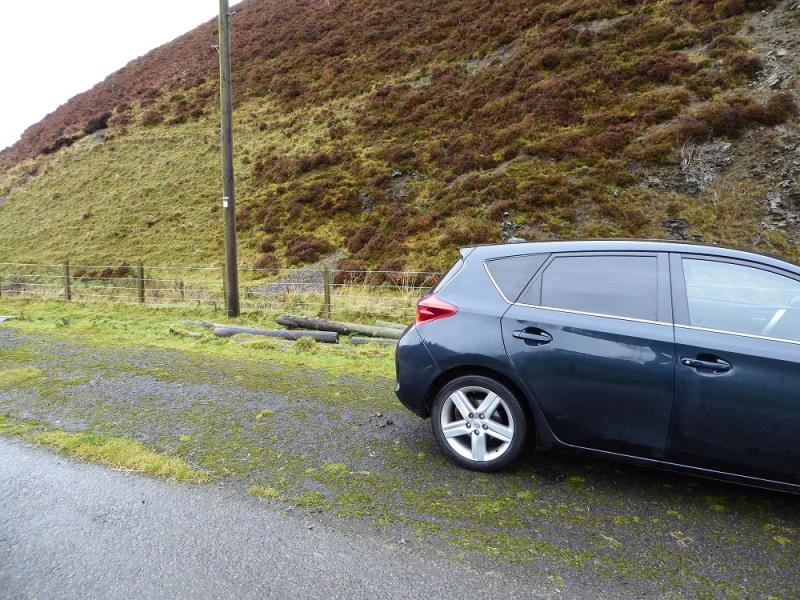
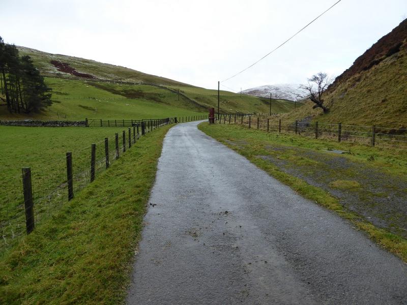
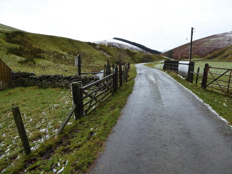
Hard standing “lay by” about 150 m past Birthwood Farm. From Coulter village take the minor road south from the obvious corner in the village. Coulter is on the A702 between Abington and Biggar. In dry weather, one can drive further than the hard standing as there is plenty of verge parking but do not cross a cattle grid as that is where the ascent track branches off the road. Try to avoid parking in any passing places.
Distance/Time
9 km. About 4 hours.
Peaks
Hudderstone, 626 m, NT 022 271. OS Explorer sheet 336: Biggar & Broughton.
Introduction
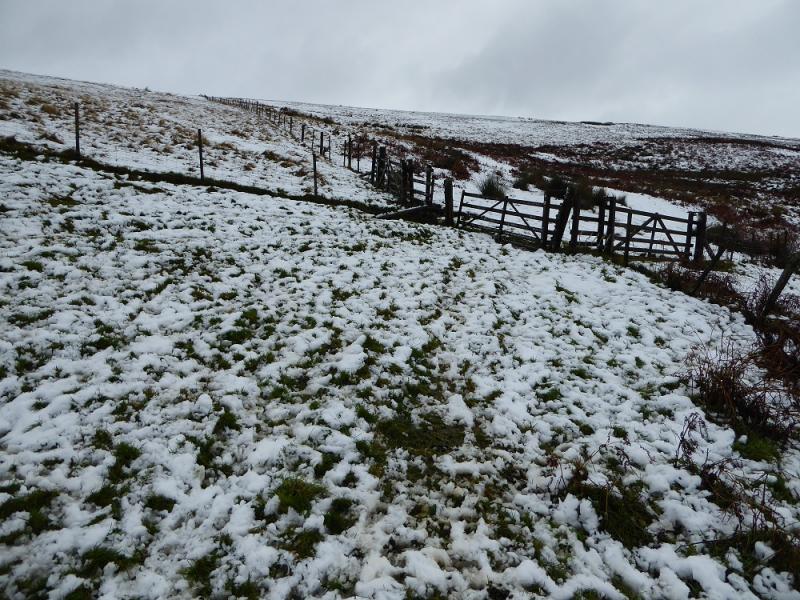
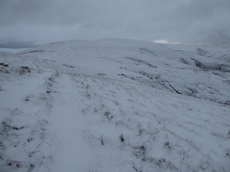
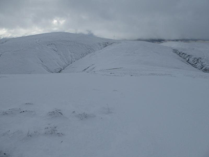
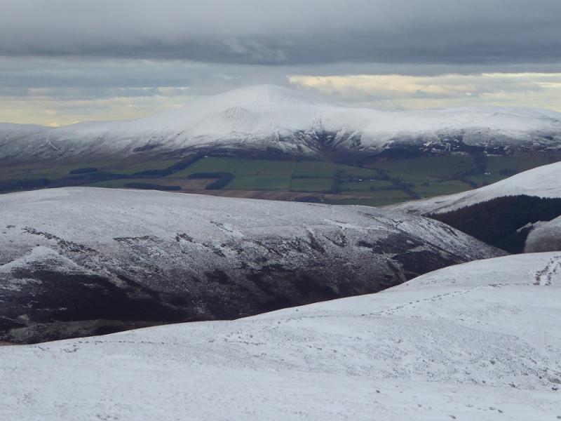
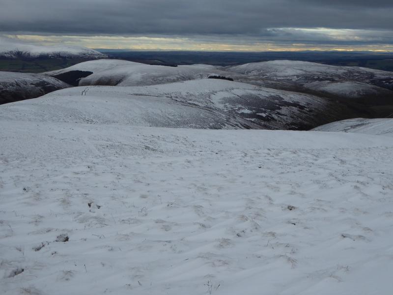
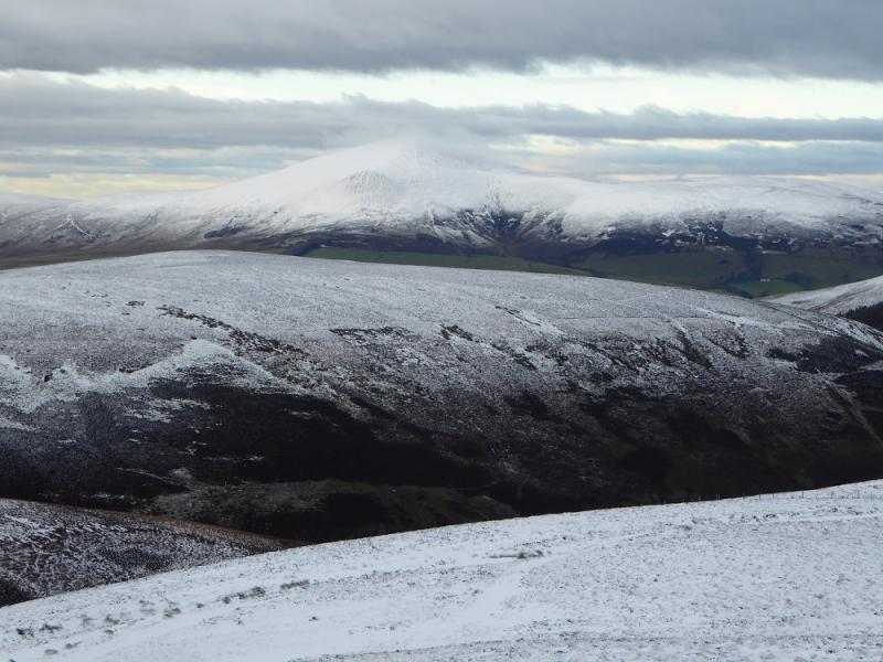
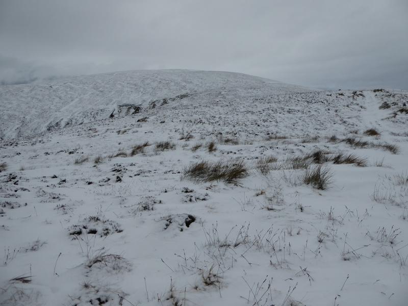
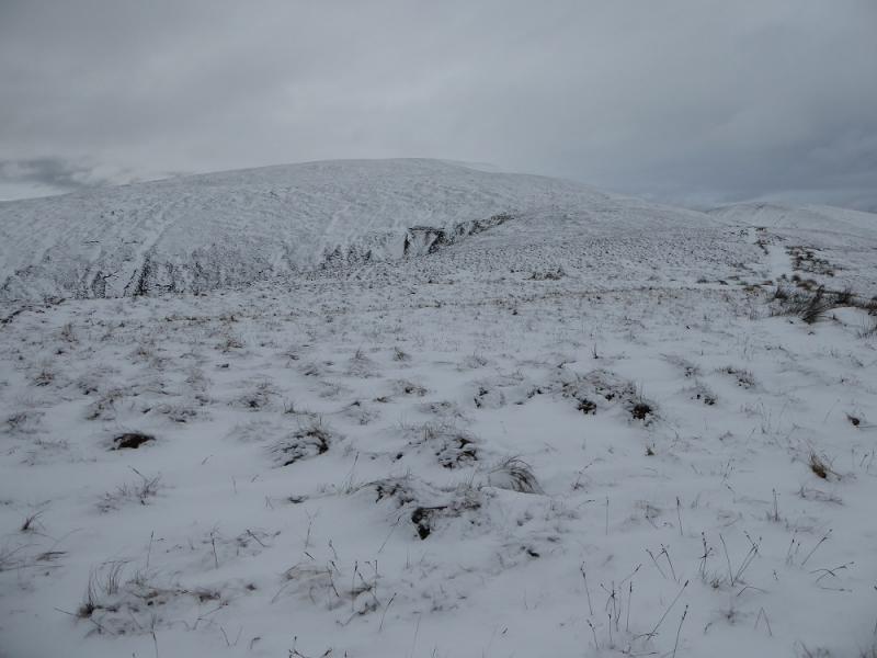
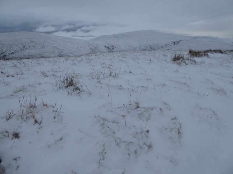
This is a high moorland hill which dominates the surrounding countryside and has good views in all directions. The ground is rough, but not horrendous, moorland throughout and can be sodden in places but there are no really bad boggy sections. This would be an ideal route on a clear winter's day with the ground covered in firm snow. Under soft snow, add at least an extra hour to the time. In such conditions, the deepest snow can be on the tracks!
Route
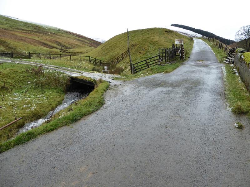
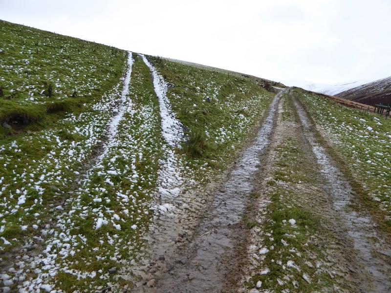
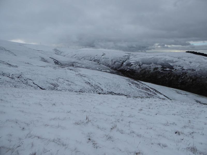
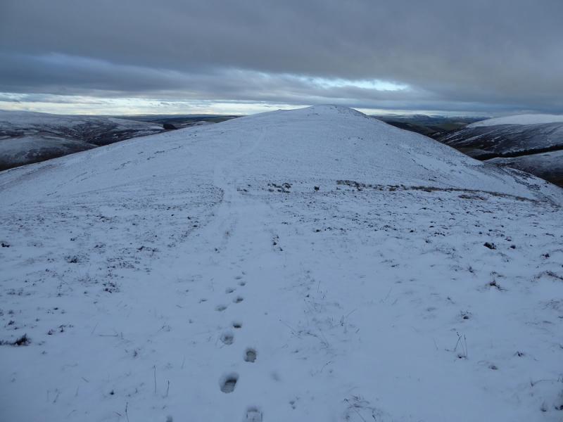
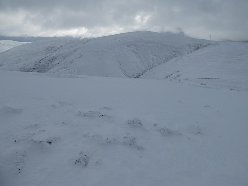
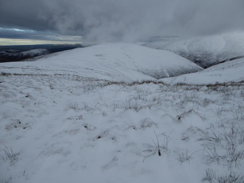
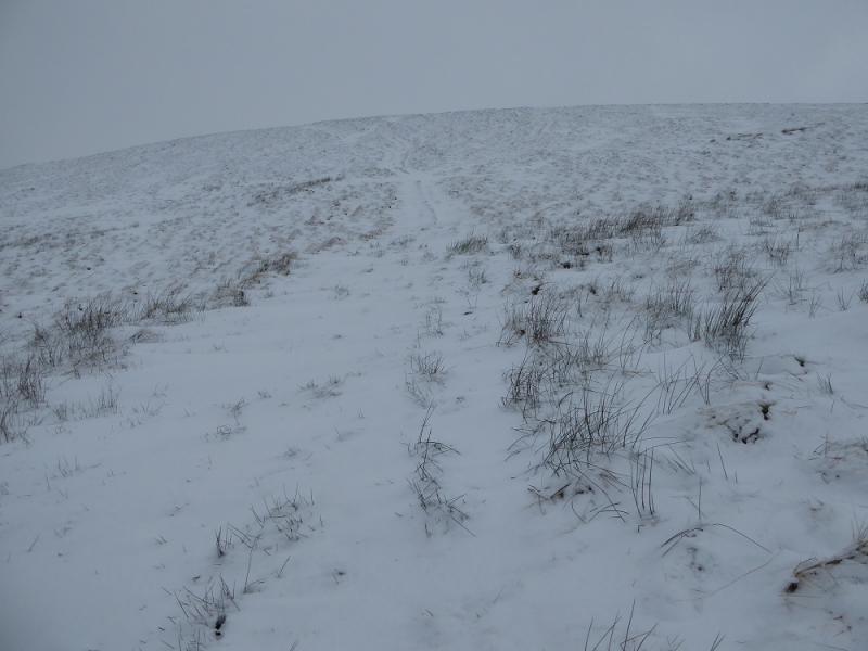
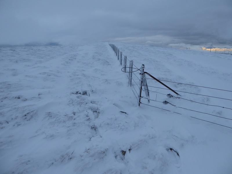
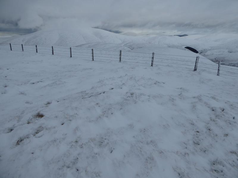
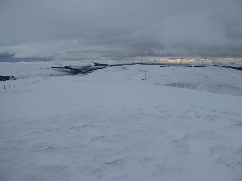
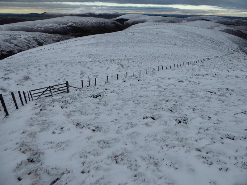
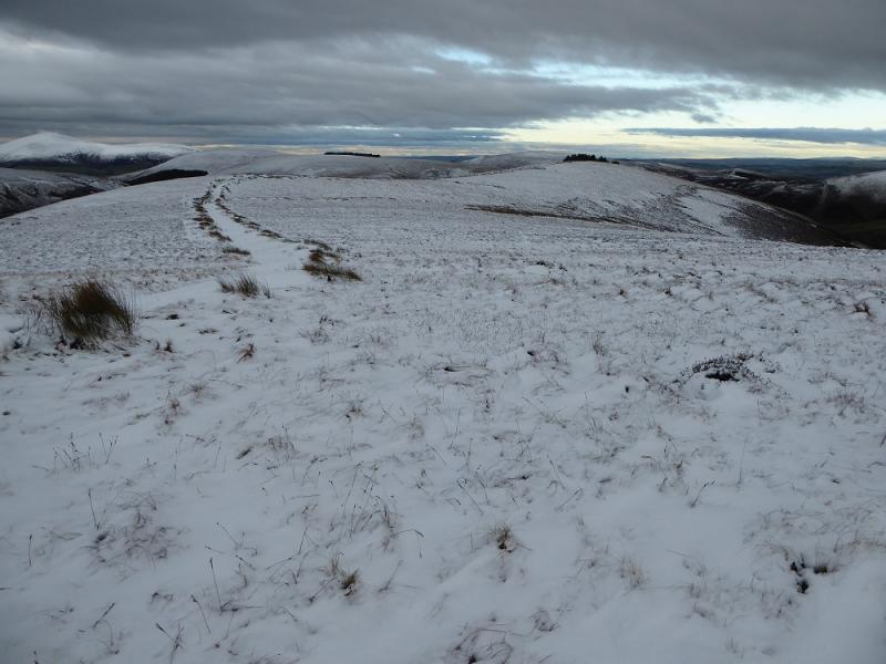
(1) Walk along the road, passing the entrance to Windgill Cottage and continue to the cattle grid. Take the track branching off left and follow it up. It soon turns S. Not much further fork left on to an ATV track and follow this up on good ground to reach a corner with gates. Continue, initially following a fence (on the left) the follow one of several ATV tracks which slants up right towards the crest. If you slant too far right you will meet a rough track just below the crest which bypasses Ward law and then Woodycleuch Dod. Descend to col at Pt 472 then continue SSW around the top of the obvious gully of Lee Gill to the E. Once past here, another ATV track heads up the NW flank of Hudderstone. This can be followed up and on to the crest which is followed to meet the fence corner where the fence turns S. Continue along the fence for about 200 m to its highest point. Just over the fence, on its W side, seems to be the highest point on Hudderstone, 626 m, but there seems to be no cairn marking the summit.
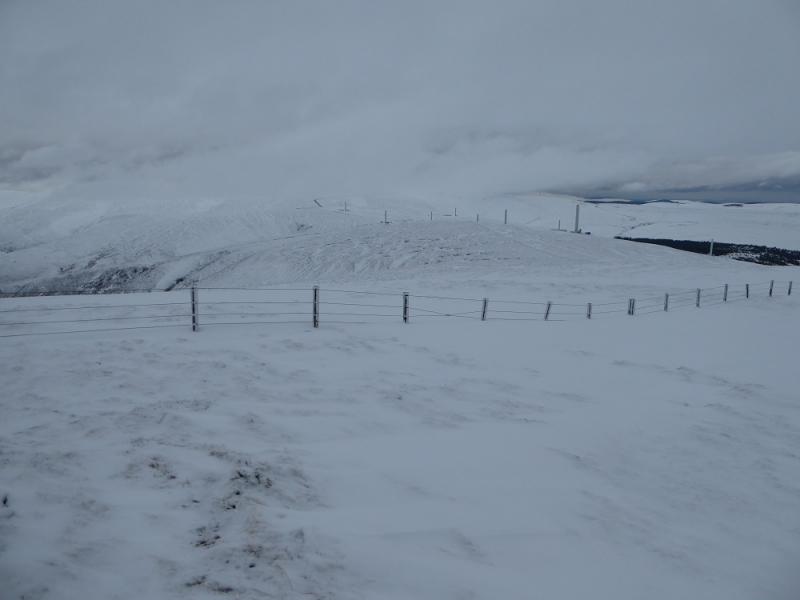
(2) Retrace along the fence to the corner then continue following the fence, NW, using an ATV track for part of the way. Reach a gate in a corner where the fence turns N. Go through the gate and head NNW for another gate to cut the corner rather than follow the fence. Reach a track just before this gate and follow it along the crest of Cowgill Rig. The track is in a poor state in places. In winter conditions, the snow may be deep and soft making for slow going. Reach the short section along the edge of the wood where the track starts to descend down the NNE ridge to reach the Cowgill road in about 1 km. Walk back along the road to the start.
Notes
(a) This walk took place on 22nd November, 2016, and about 15 years earlier on a full round of all the Culter Fells which is a very long and strenuous day!
Photos - Hover over photo for caption. Click on to enlarge. Click on again to reduce.