Get Lost Mountaineering
You are here: Scotland » 04 Loch Leven and Loch Linnhe to Loch Ericht » Mamores to Corrour
Beinn na Cloiche
Beinn na Cloiche from Kinlochleven
Start/Finish
Grey Mares Waterfall car park, Kinlochleven. From bridge over River Leven, go N then take first right (signed Grey Mares Waterfall). At the end of this street there is a white church. Go right and the car park is almost immediately on the left.
Distance/Time
32 km Approx 9 hours
Peaks
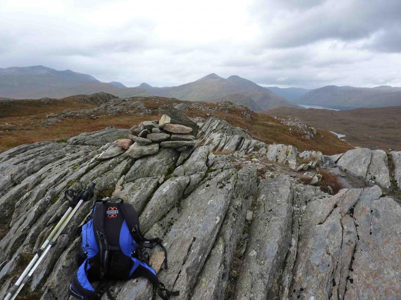
Beinn na Cloiche, 646 m, NN 284 648. OS Sheet 41.
Introduction
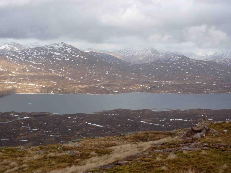
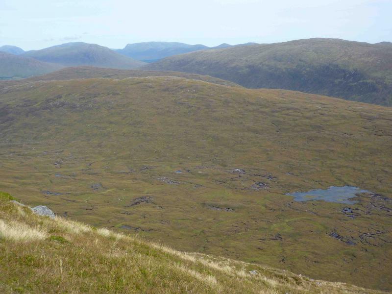
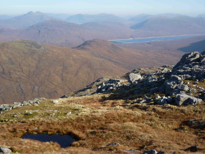
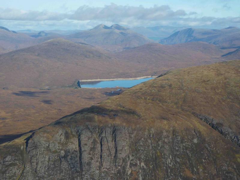
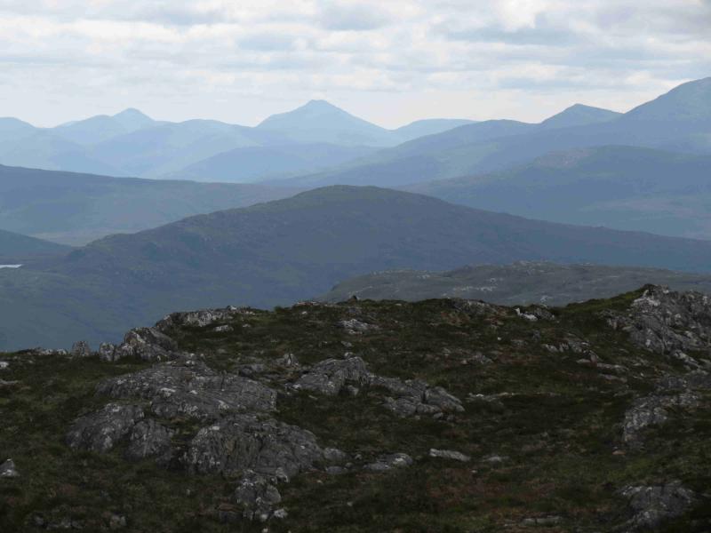
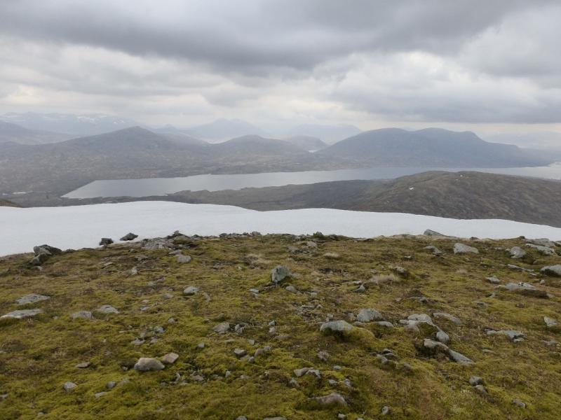
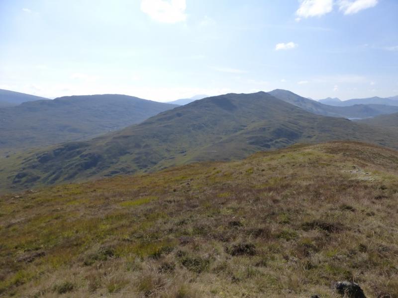
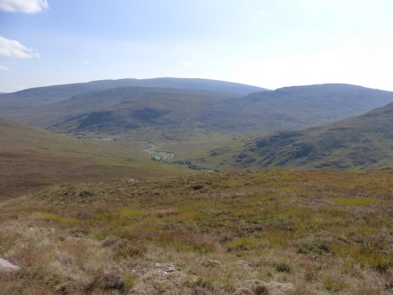
Although Beinn na Cloiche is a rather grassy undistinguished hill there are outstanding views in all directions from this walk especially down the full length of Loch Leven but also to the Glencoe peaks, Ben Nevis, Aonach Beag, Grey Corries, The Easains, Loch Ossian peaks, Buachaille Etive Mor, Ben Alder and even Schiehallion (on the approach).
Warning
If there has been rain in the previous three days then there will be a problem crossing burns which are likely to be in spate. The path up to the dam is also likely to have water flowing down it. The open ground beyond the dam is likely to be wet and sodden making for slow progress.
Route
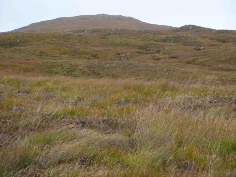
(1) From the car park, continue down the street away from the church (Wades Road). The road becomes a track and passes a green garage (to the right). Soon after the track splits: ahead and left. In between is a footpath which should be taken. Follow this distinctive path, with a few undulations, through several silver birch woodlands and past the remains (concrete bases only) of World War 1 POW camps. Several burns have to be crossed. The most difficult crossing is the Allt Coire na Duibhe which can be impassable after rain. If this is the case, see note b. The next crossing has the remains of a bridge over it which, on 15/9/10 there was a girder and a hand rail but, if the Allt Coire na Duibhe was crossable then this burn should be crossable too. Continue until the Blackwater Dam is reached. The pipeline bringing water from Loch Eilde Mor joins the path near to the dam. From the dam, continue on the boggy path on its N side. In spate conditions the first major burn may have to be crossed by a short detour upstream. Continue on a generally good path up the W side of the Allt an Inbhir. The burn flowing down from Lochan Tom Ailean may not be crossable in spate. If this is the case, see note c. Leave the path at about its junction with the path crossing the S flank of Glas Bheinn and head roughly N up an ill defined but gentle ridge. The going can be quite rough and wet in places. Eventually, reach a small cairn on an outcrop which is the summit of Beinn na Cloiche, 646 m.
(2) Retrace back to the Blackwater Dam. Either cross the dam (prohibited with locked gates at each end which can be easily climbed over) or walk below the dam on its W side. At the far end of the dam, join a track which goes past the old cottage and doubles back below the dam before heading W. The pipeline is encased in concrete and looks like a continuous railway platform. It is much easier to walk along than the track so join it as soon as possible. This does not seem to be prohibited but there are notices saying you walk it at your own risk. The pipeline is about 2.5 m wide and crosses burns as an aqueduct. It can be followed for about 5 km to Low Penstock (where there is an inhabited cottage) until further progress is blocked by a high fence. Simply walk around the fence on the left to rejoin the track which has now merged with the West Highland Way and follow this, now waymarked, down to Kinlochleven.
Notes
(a) This walk took place on 15th September, 2010.
(b) If the Allt Coire na Duibhe is impassable, it is possible to follow a faint path up its left (W) side. Unfortunately, this leads one into crossing a slippery, slabby stream at the top as the main burn has split into three. To avoid this, retrace and recross the previous burn and ascend up its W side. Once above where the burn splits, follow the higher, W, bank until it is safe to cross then pick a safe way to rejoin the main path. If the burn is in full spate, one may have to walk as far as to where the pipeline crosses it. About 30 m further is a small dam which can be walked across. The pipeline can now be followed until it goes underground then a line of rusty fence posts can now be followed over rough boggy ground until the pipeline emerges just before the dam. This detour can add about an hour to the route.
(c) If the burn flowing down from Lochan Tom Aileen is impassable then walk upstream until it is safe to cross then head NNE up the ill defined ridge of Beinn na Cloiche. This detour can add up to 30 minutes to the route depending on how far upstream one has to walk.
(d) On the descent of Beinn na Cloiche, there is no advantage in walking straight at the dam as the lower ground is featureless, undulating, rough and boggy.
Photos - Hover over photo for caption. Click on to enlarge. Click on again to reduce.