Get Lost Mountaineering
You are here: England » Peak District » West of Glossop to Hayfield Road including Chinley & Charlesworth
Coombes Edge from Charlesworth
Coombes Edge from Charlesworth
Start/Finish
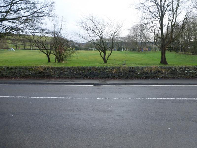
Charlesworth village (on road parking) which is on the A628 between Dinting Vale (West of Glossop) and Marple. Try to park between the church and the playing fields. The church is at SK 004 929.
Distance/Time
5 km. About 2 hours.
Peaks
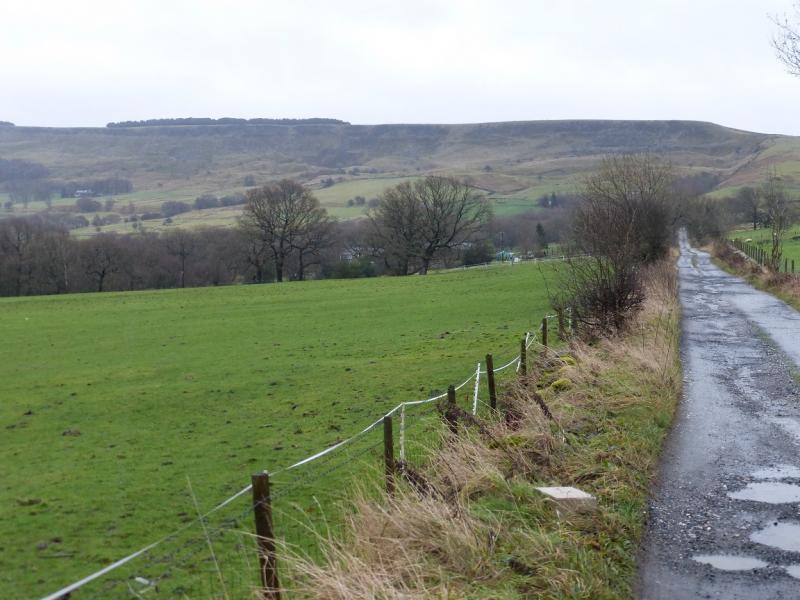
This walk is on edges, ridges and open moorland with no obvious summits.
OS Outdoor Leisure 1: Dark Peak. OS 110 (1:50 000).
Introduction
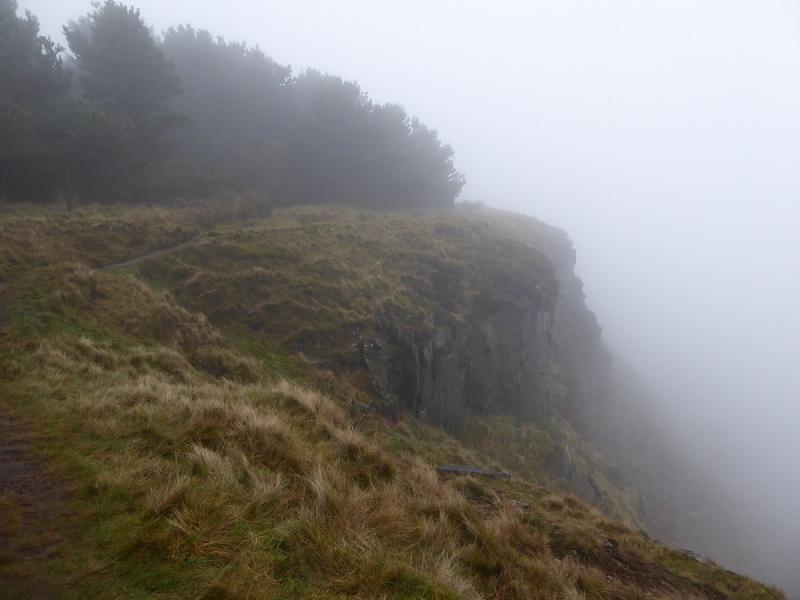
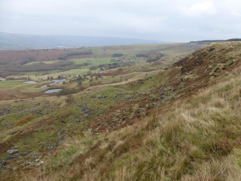
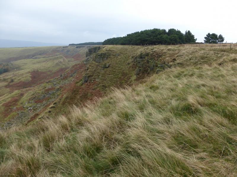
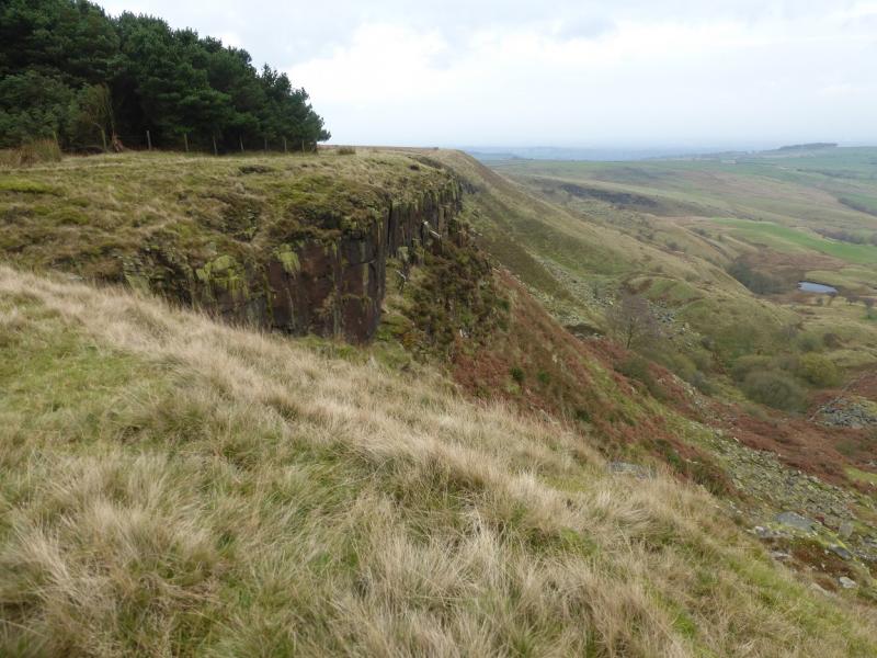
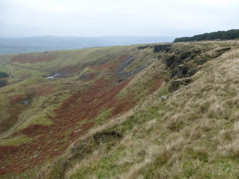
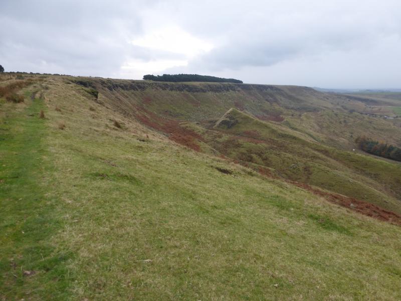
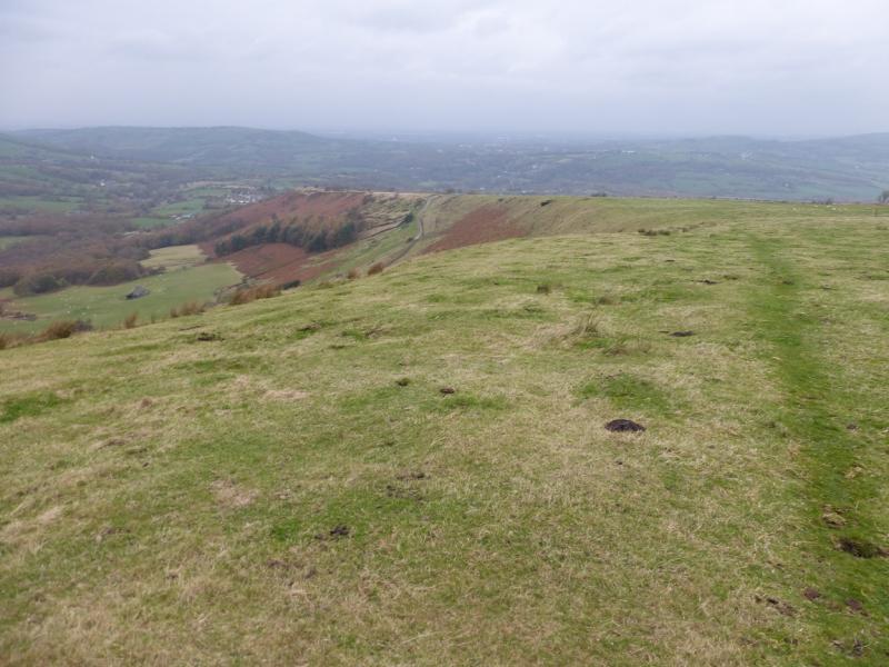
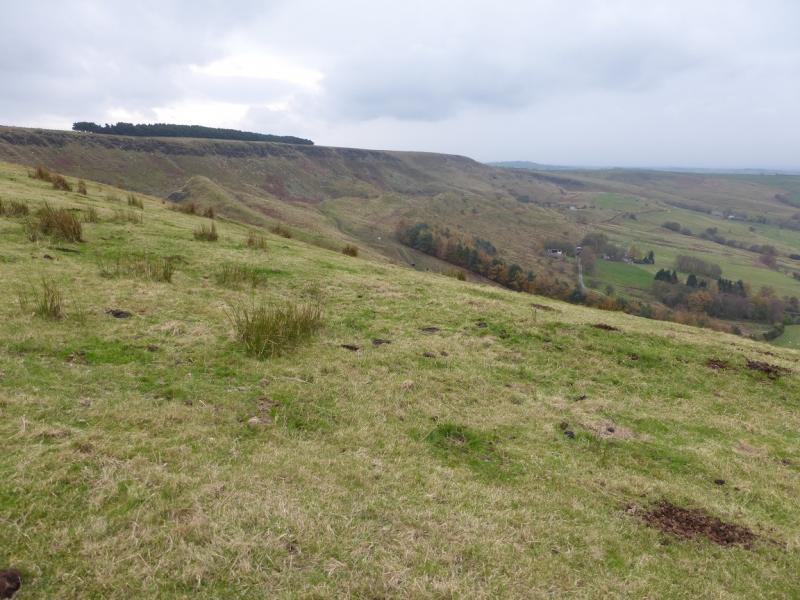
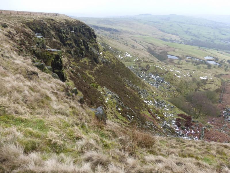
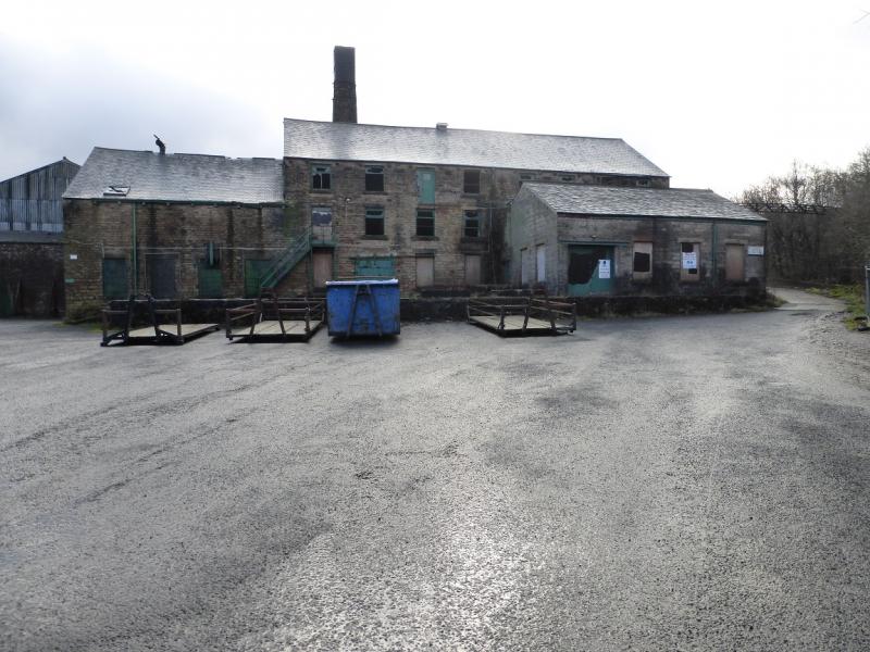
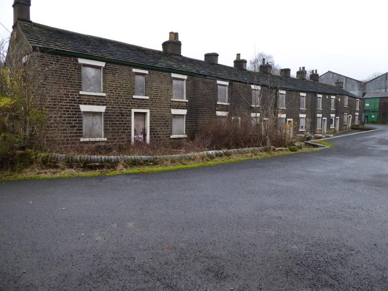
This is a pleasant walk ideal for a very short winter's day. Given its short length, it is a little gem for what it offers in views. On a clear day, there are excellent views to the west. Coombes Edge has crags below it so do not stray too close. The route goes through an abandoned chemical works containing contaminated buildings. Cown Edge is just the other side of the top crest and a separate walk is posted which takes this in as well.
Route
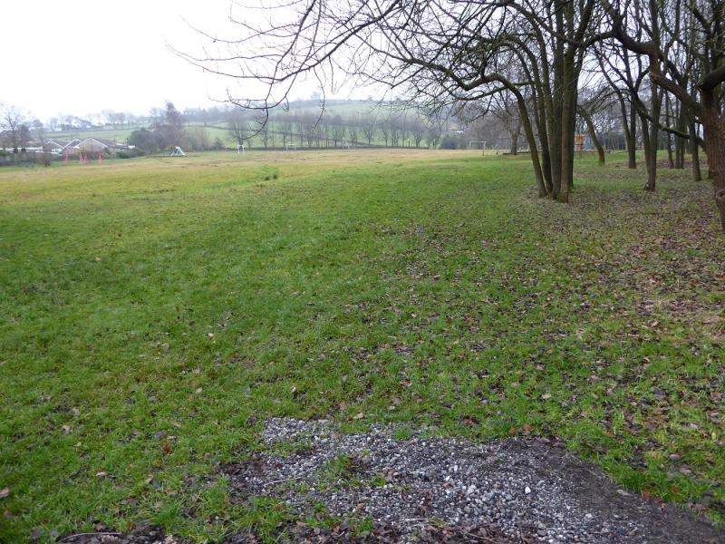
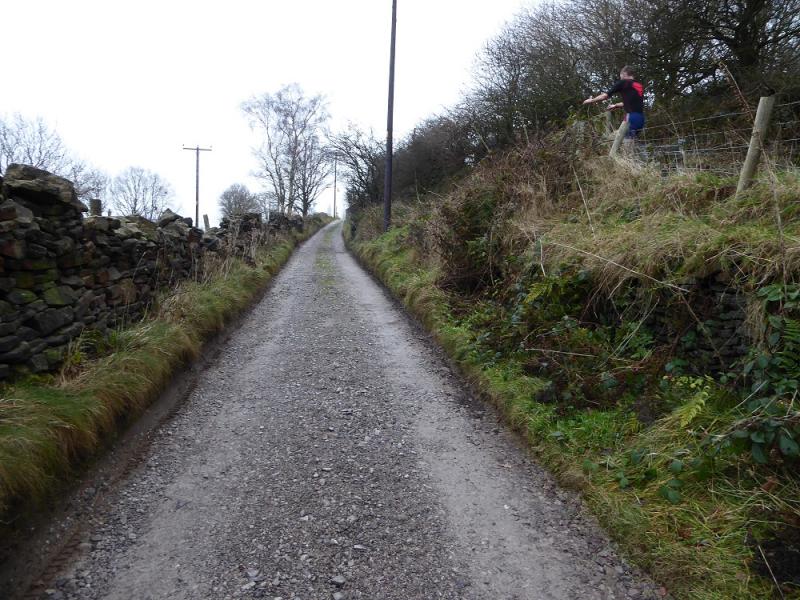
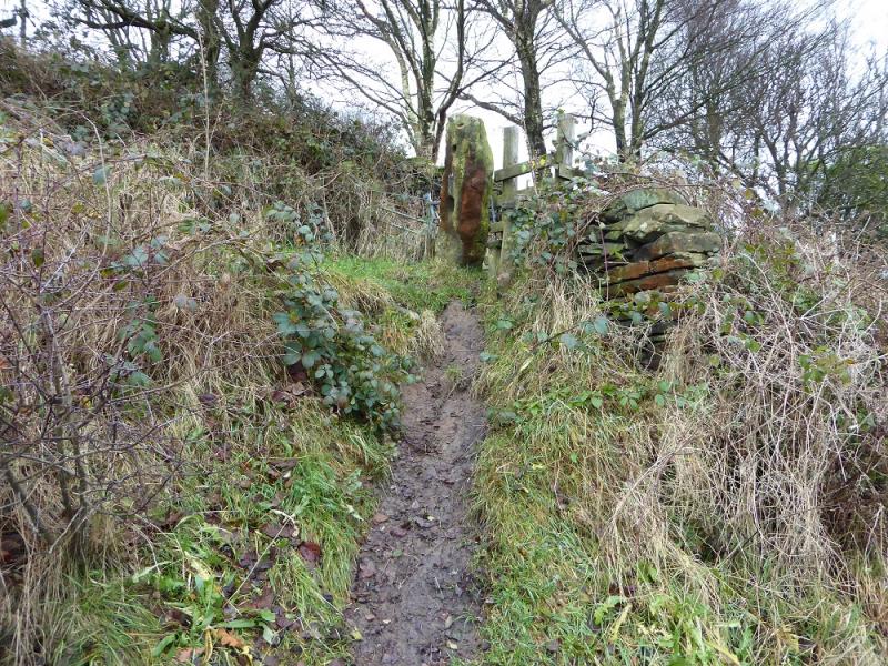
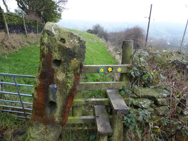
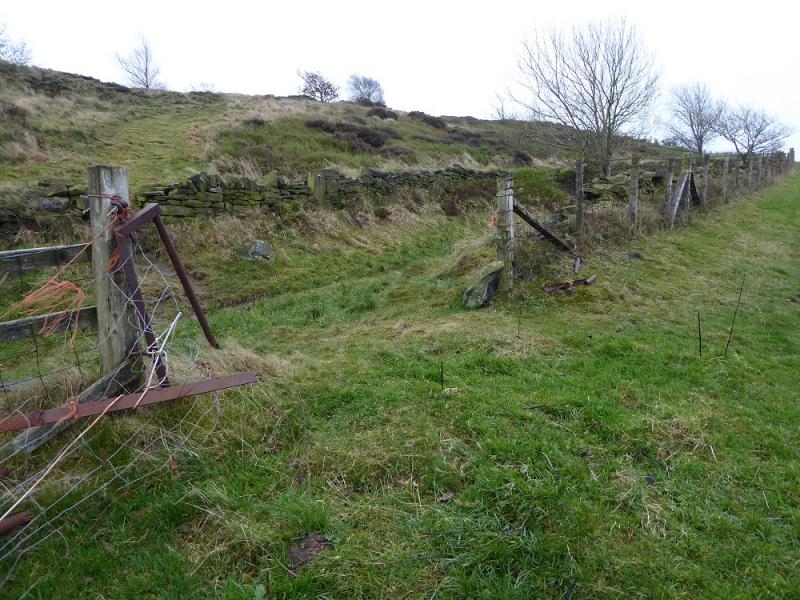
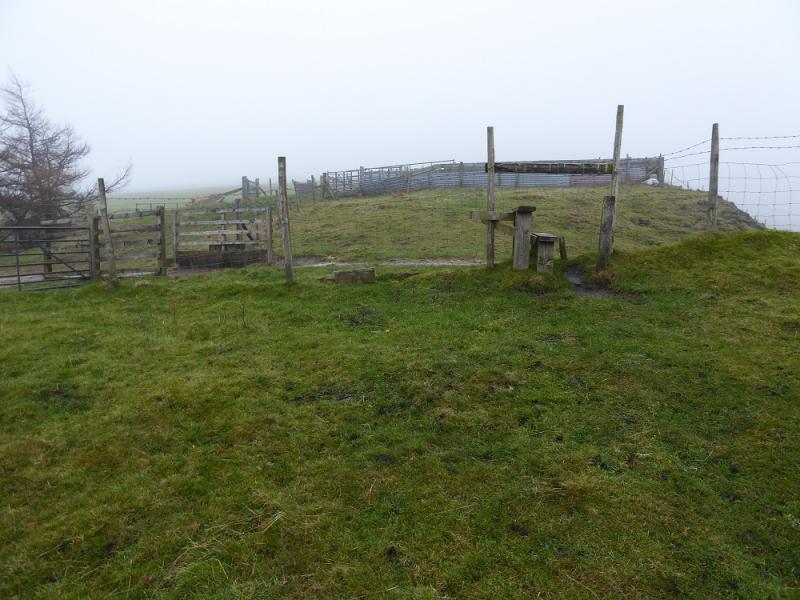
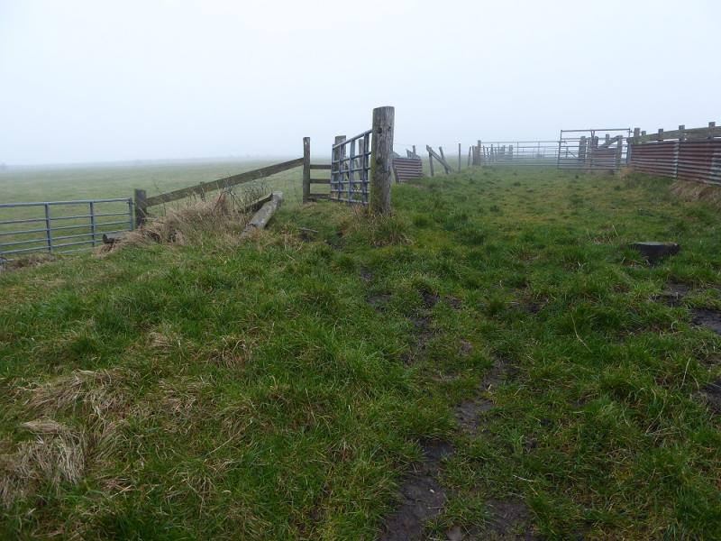
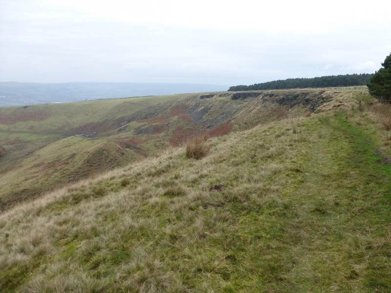
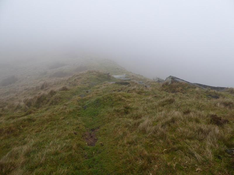
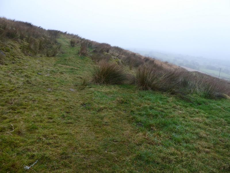
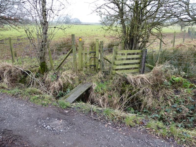
(1) Walk up to the top left corner of the playing fields and exit by a stile into another field. Exit this in its top right corner. Do not take the exit in the top left corner! Soon reach a lane. Go left but, almost immediately, ascend the steep bank on the right to reach a gate. So far all the exits and gates have way marked arrows for Cown Edge (the other side of the crest behind Coombes Edge). Once through this gate, follow the path uphill, by a wall to begin with and continue up. Further on, there is a gap on the left with a lane in a groove on the other side. The lane can be followed if you wish but it is better to stay on the path and go through a way marked gate higher up. Continue up to reach a track just before some sheep pens. If you took the lane, this joins the track a little lower but the sheep pens are still obvious. The path is through a gate on the left of the pens. Once past follow a path as close to the edge on the right as possible; this passes the tops of some crags. Keep going and soon notice a grassy groove on the left. Keep to the right of this and reach Coombes Edge where the path curves around to the right. Follow the path along the edge or one further back. Pass by a wood on the left and go through a gate. Reach the end of the edge when a grassy path descends to the right.
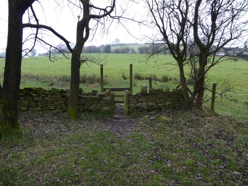
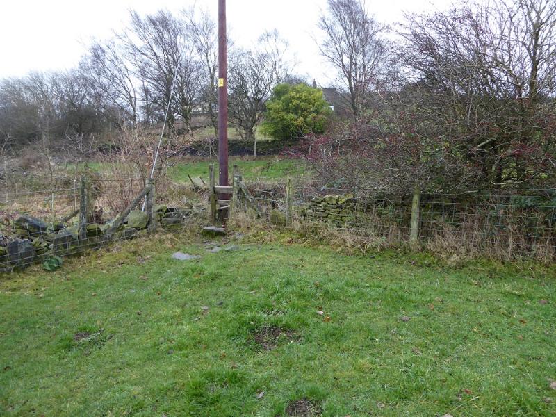
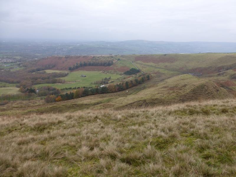
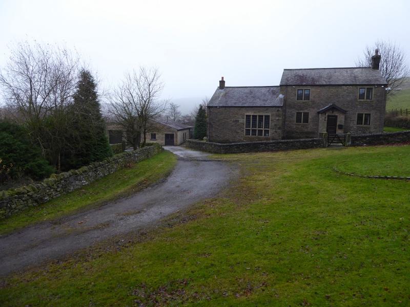
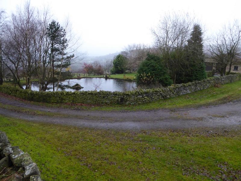
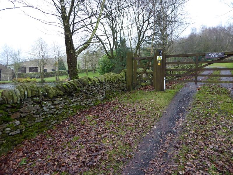
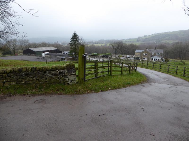
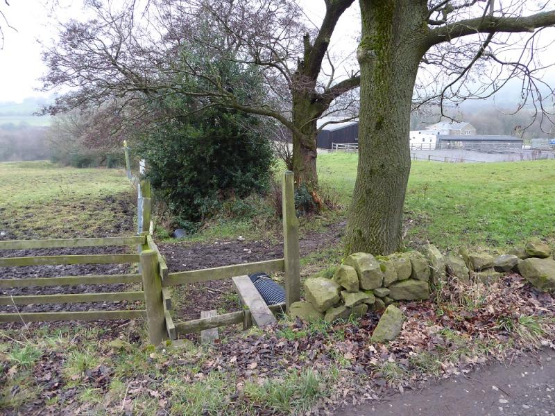
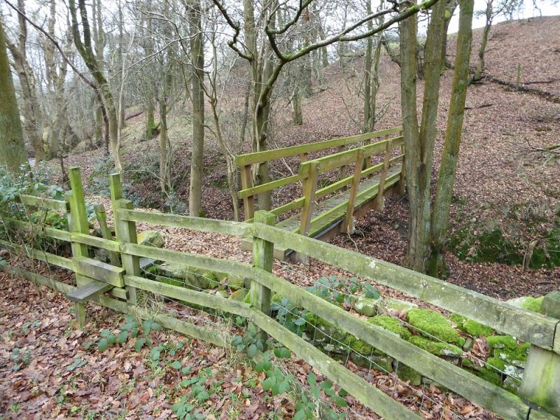
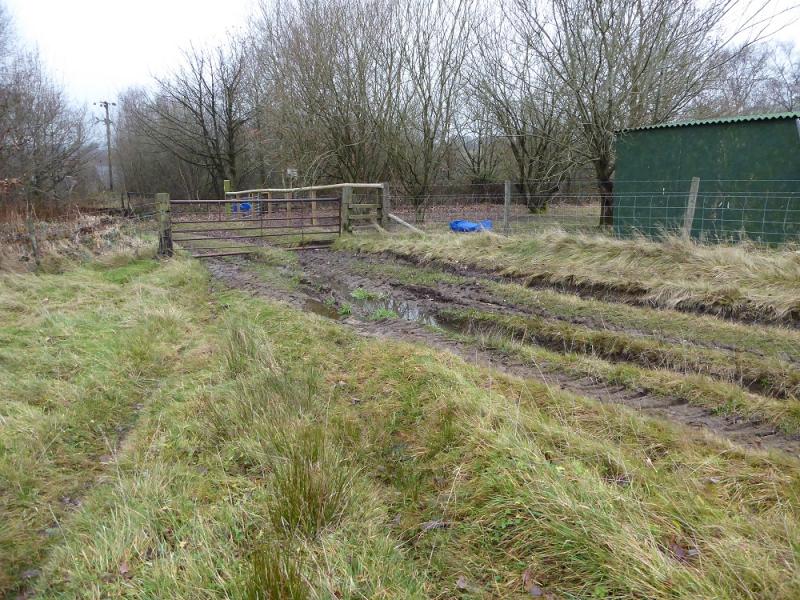
(2) Follow the grassy path down. Lower down it crosses a wall by a stile to gain a grassy track at right angles to the wall. Soon after, the track splits. Take the right fork and follow it down to a gravel track in a groove which descends to just above Far Coombes Farm. Follow the signs to pass the farm and its duck pond to reach the farm's access track. Walk down the track to reach the next farm. Just pass this, there is a very short “bridge” and stile on the left. Opposite, on the right, is an old stile. Cross this and walk down the side of the farm. Horses may be in this field. Follow the field down. After one stile, there is a short boggy area, best crossed to the left. Continue down and reach a wooden footbridge. Cross over then make a gradual ascent leftwards, through the trees, to climb out of the stream's gully into a field where an obvious track is going left and through a muddy gate. Go through the gate and follow the improving track down into the old chemical works. It is safe to walk through but the buildings are still contaminated. Reach the lane on the far side of the works and follow it past houses down to the road. Turn right and, after a short uphill section, soon reach the start.
Notes
(a) This walk took place on 15th December, 2016, and 14th December, 2017.
Photos - Hover over photo for caption. Click on to enlarge. Click on again to reduce.