Get Lost Mountaineering
You are here: England » Peak District » Kinder, Mam Tor ridge, Rushup Edge, Brown Knoll & Win Hill from Edale
Grindsbrook Clough, Upper Tor, Nether Tor, Trig Point 590 & Ollerbrook Clough from Edale Village
Grindsbrook Clough, Upper Tor, Nether Tor, Trig Point 590 & Ollerbrook Clough from Edale Village
Start/Finish
Edale village car park which, coming from Hope, is on the Edale road just before the turn off to Edale village. The turn off for Edale from Hope, from The Hathersage to Castleton road, A625, is not that obvious and easy to miss. It is a right turn opposite a chuch on the left on the eastern end of Hope. The car park is expensive but there are toilet facilties. Out of season, there is very limited parking in the village by the school and pub.
Distance/Time
9 km. About 4 hours.
Peaks
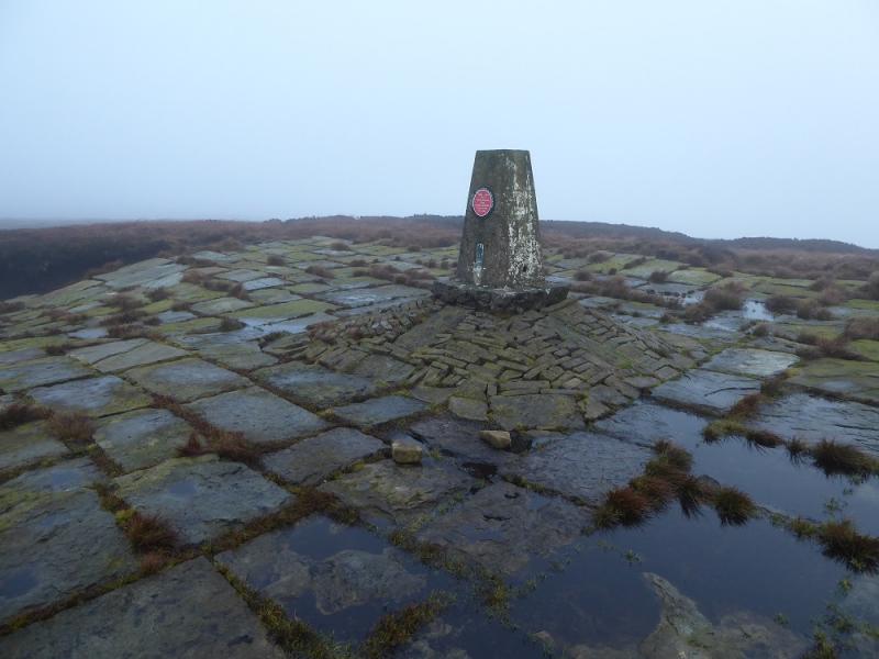
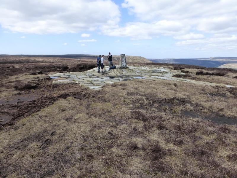
Kinder East Trig Point, 590 m, SK 129 878. OS 1:50 000 Sheet 110.
OS Outdoor Leisure 1: Dark Peak.
Introduction
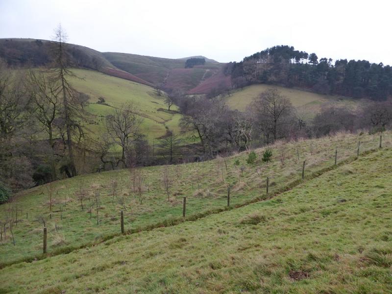
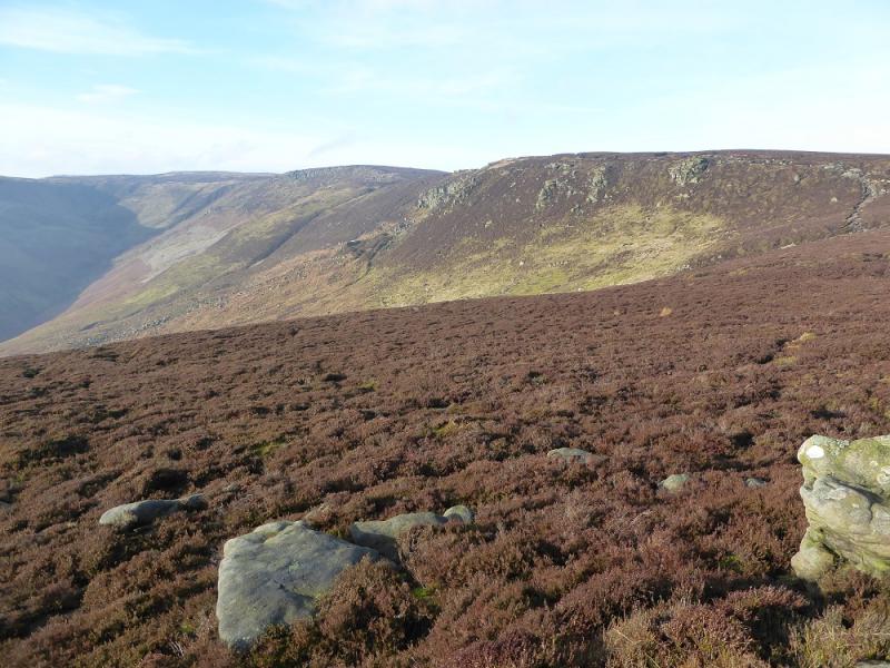
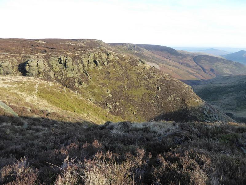
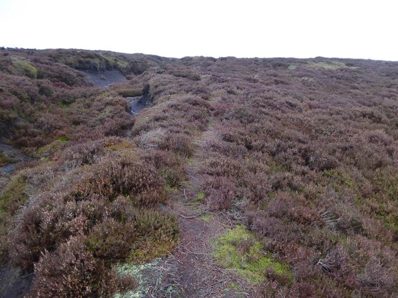
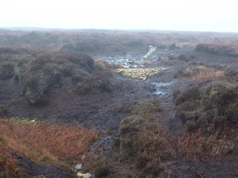
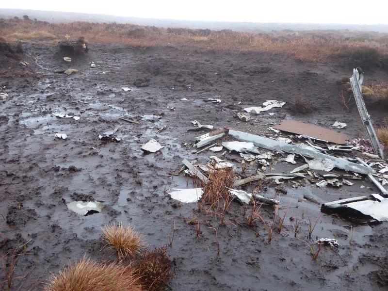
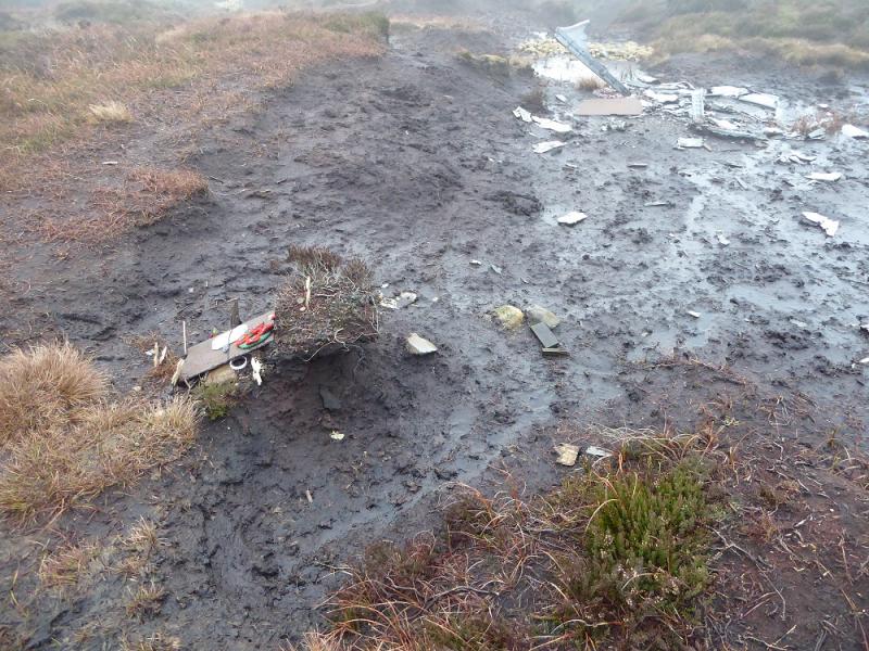
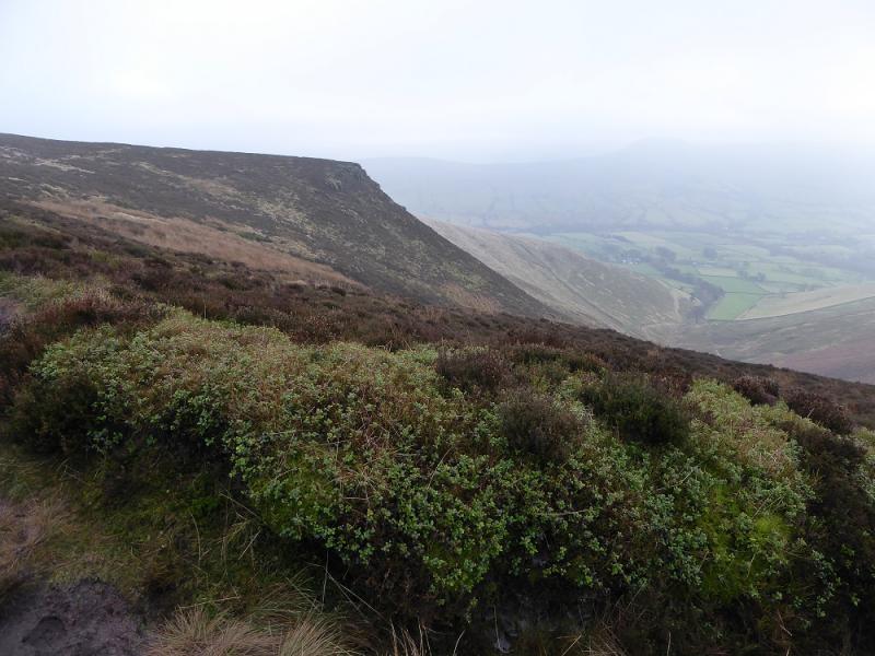
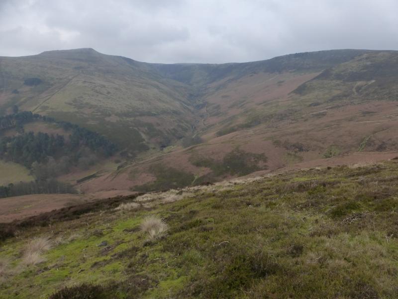
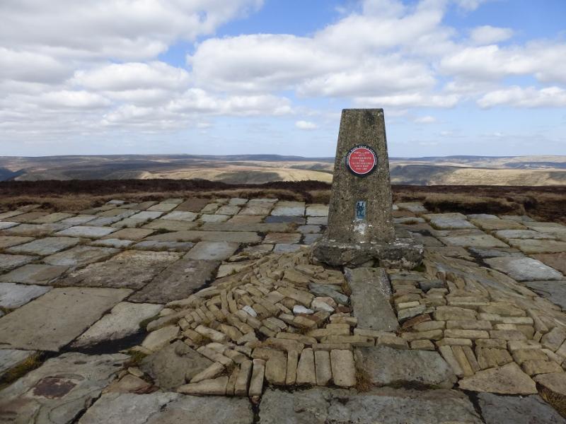
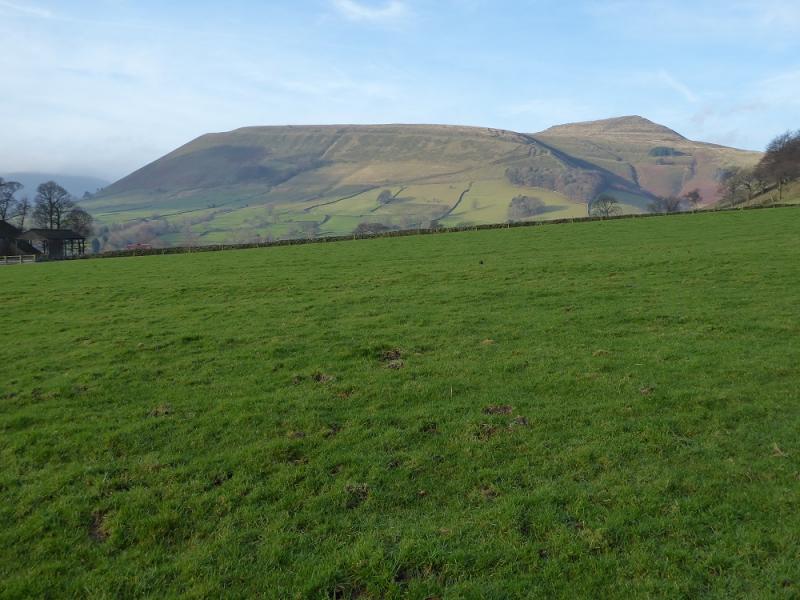
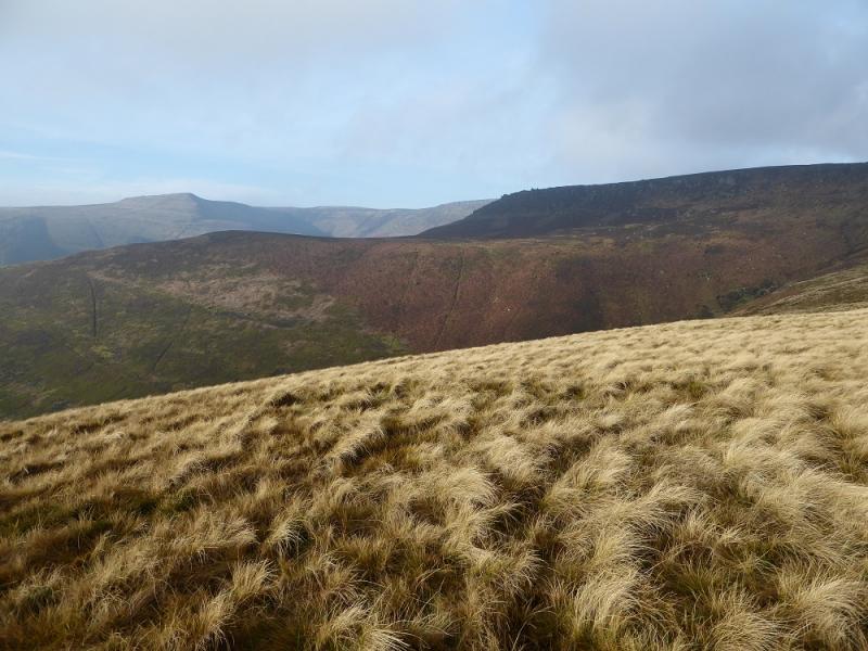
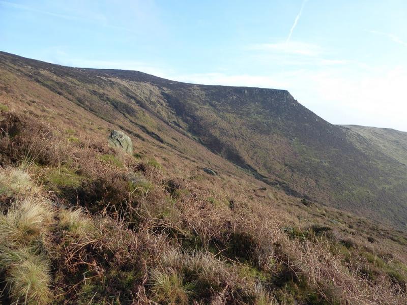
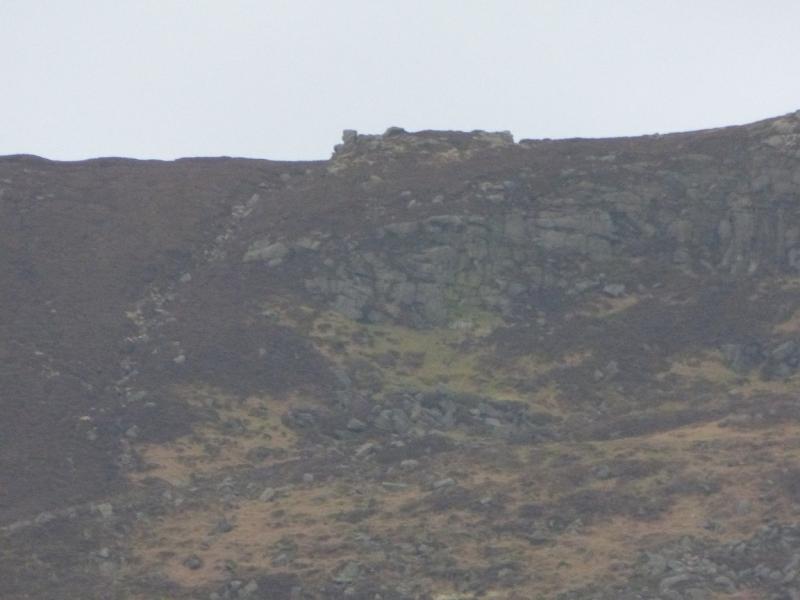
This is a short and reasonably pleasant walk which allows part of the eastern end of the Kinder plateau to be explored. There are good views which include the Mam Tor ridge and Grindslow Knoll. Being Kinder, the going can be boggy in places but it is not too bad on this route. The trig point used to sit in the middle of a bog but slabs are now laid around it to ease access. As the Kinder plateau is quite featureless, this walk is best kept for a clear day. It is even better in a cold snap when the ground, and bog, is likely to be frozen. The ground can also improve considerably in a sustained summer dry spell. Walking up the road towards Edale village puts Nether Tor in direct line of vision. From a distance, this resembles a steam engine similar to that in the pioneering wild west. There is a small amount of aircraft wreckage to the SE of the trig point in a boggy area. The described route will take one close but the grid reference is deliberately omitted as there are reports of some people trying to take pieces home as souvenirs.
Route
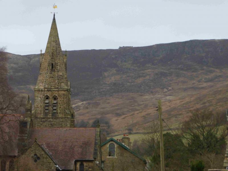
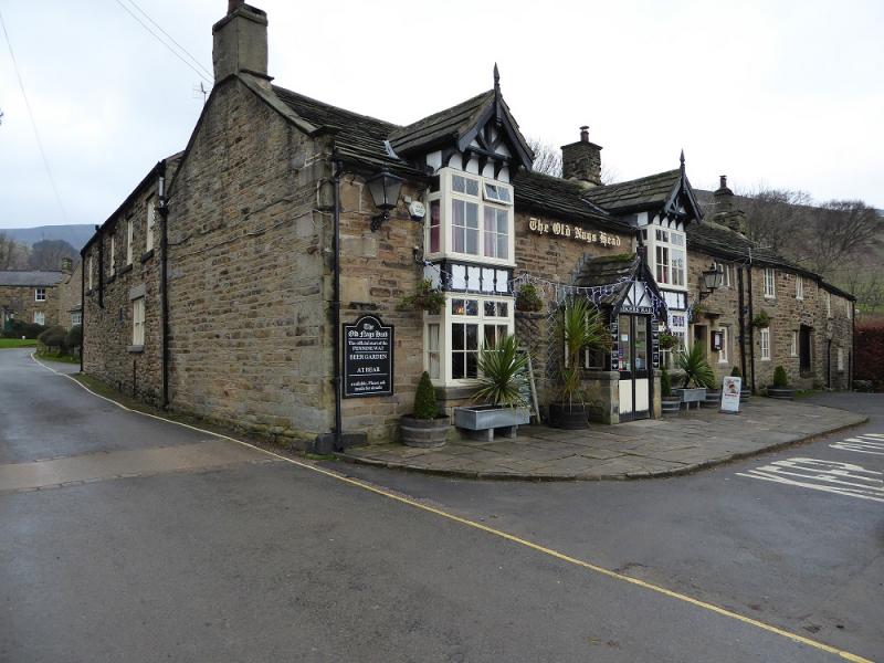
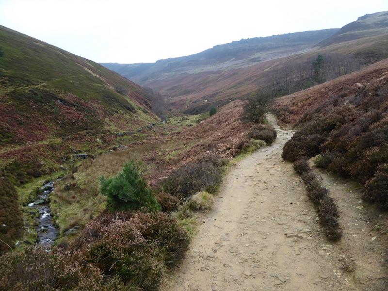
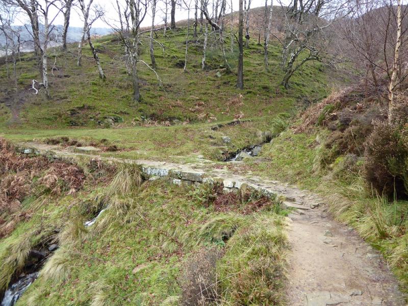
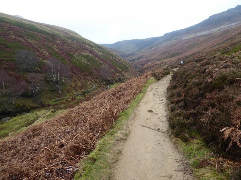
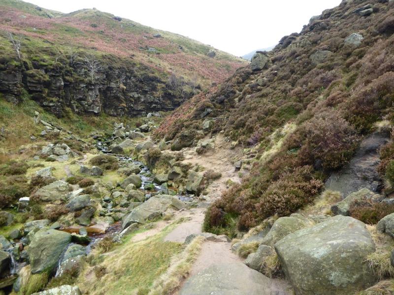
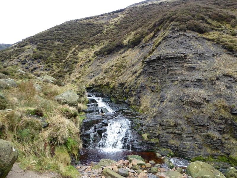
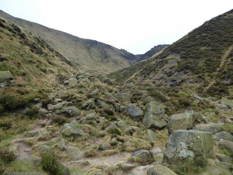
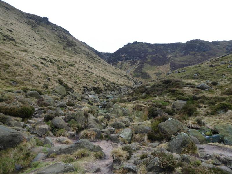
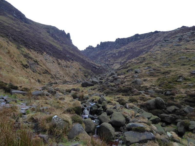
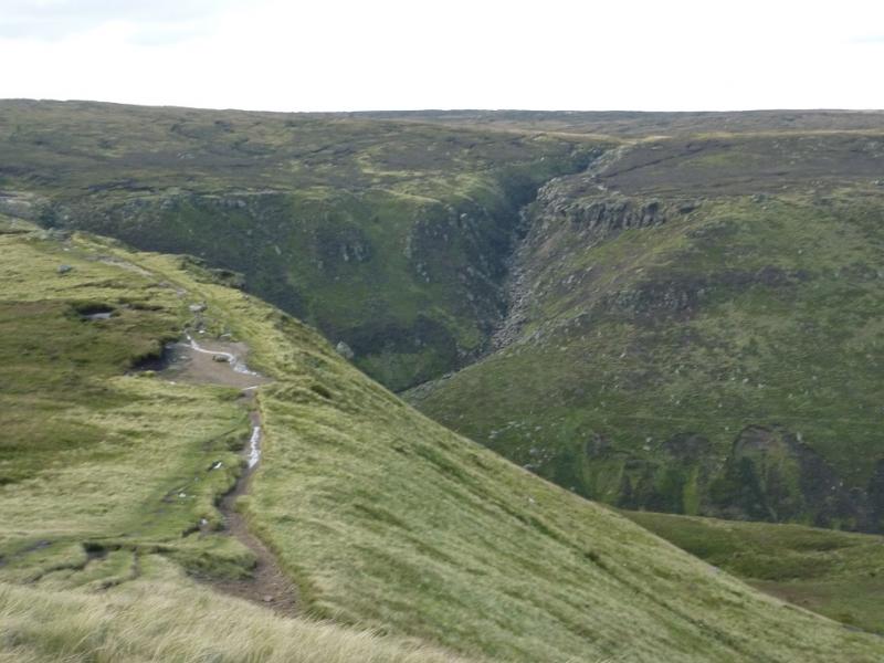
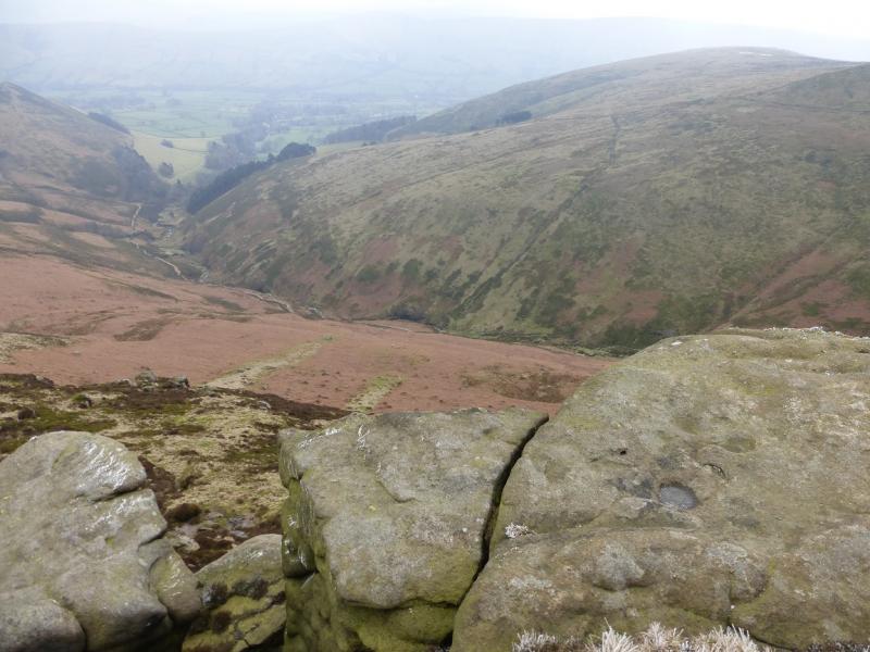
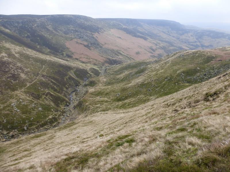
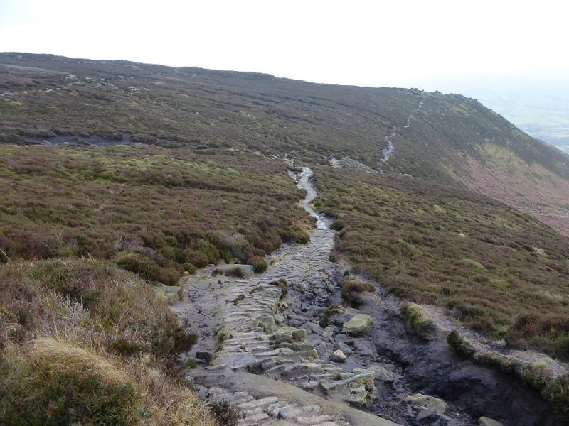
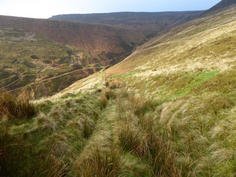
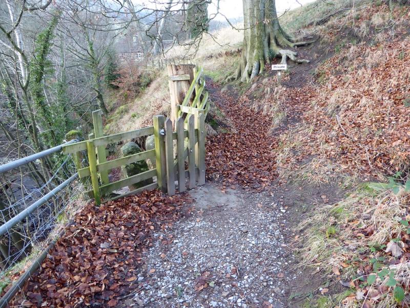
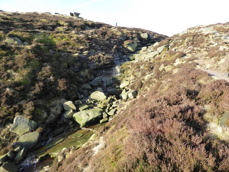
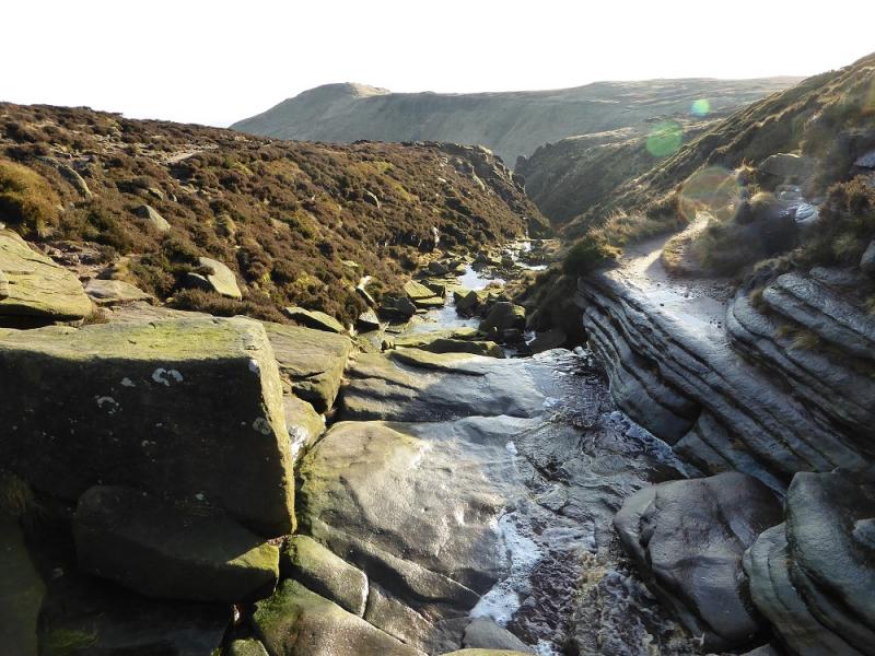
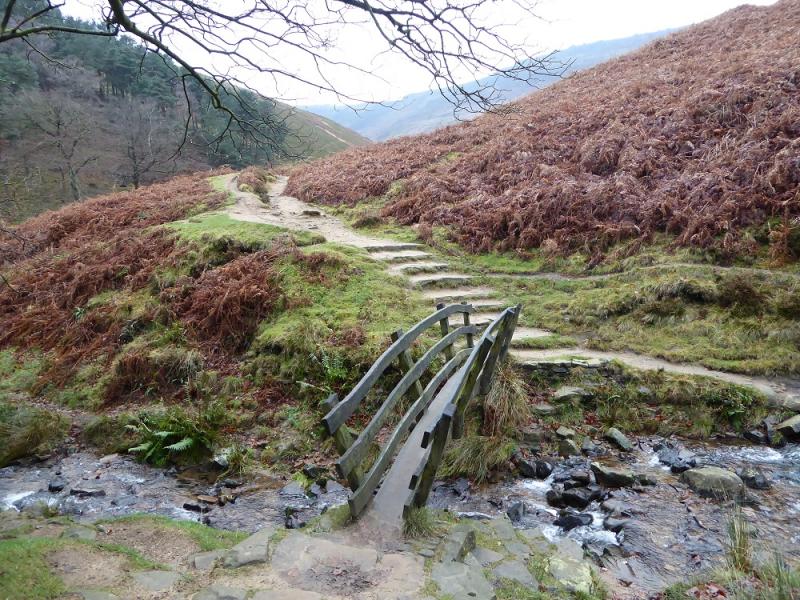
(1) From the car park, walk up the minor road into Edale village passing under the railway and past the church. At the Nag's Head, go straight as far as is allowed until a sign directs one down to a narrow bridge over a stream. Continue on the other side to a stone shed where the path splits. Take the lower left fork and follow it to another small bridge at the foot of Golden Clough which is on the right. The route up Grindsbrook Clough goes straight ahead cross the bridge and follow the obvious path up. This is good to start with but, higher up, is very rough and stony making for slow going. The clough splits much higher up with the path going up the left fork which is more like straight on. Reach the edge path which crosses the top of the steep part of the clough (the shallower clough continues into the plateau).
(2) If wishing to visit the summit of Grindslow Knoll, turn left and follow the obvious edge path to the large summit cairn then retrace back to the top of Grindsbrook Clough. This detour will add about 30 minutes.
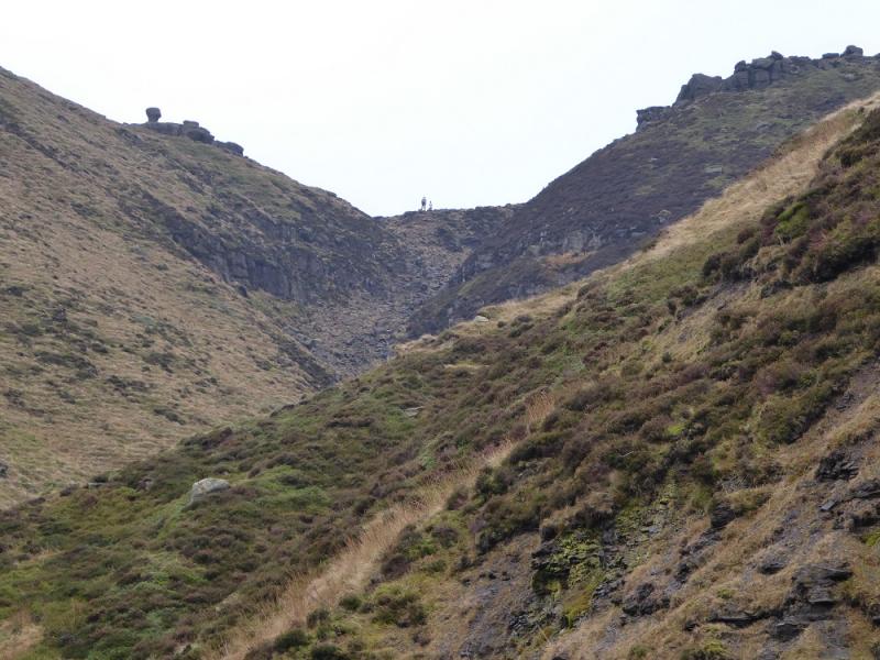
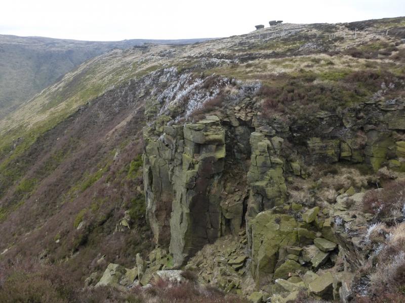
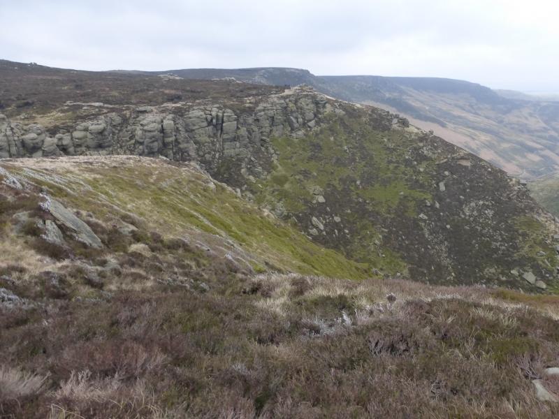
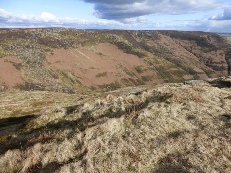
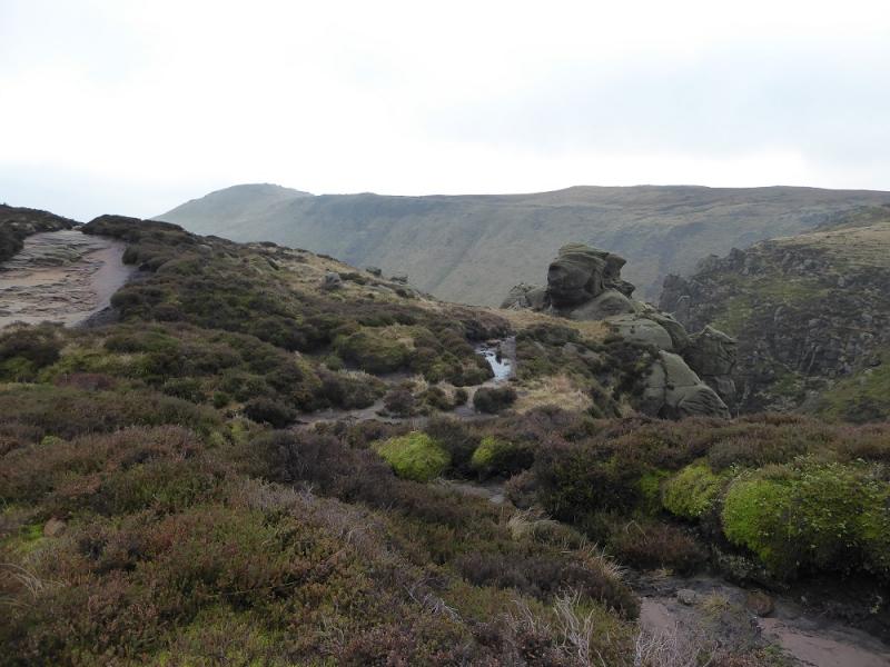
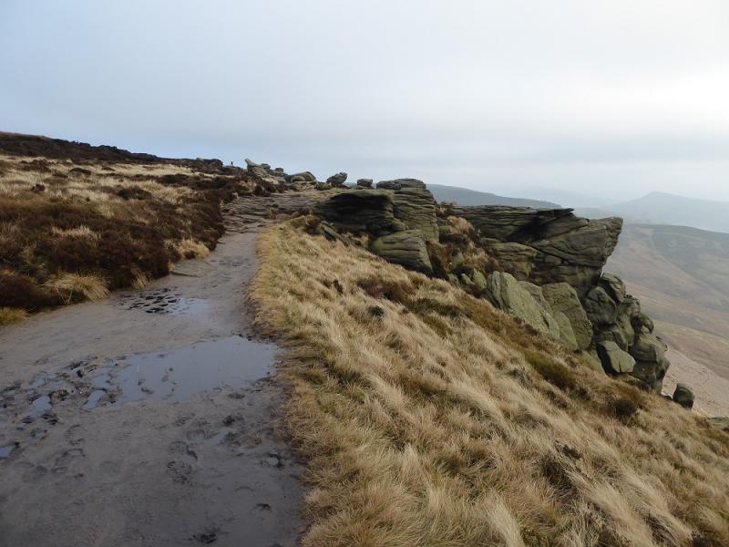
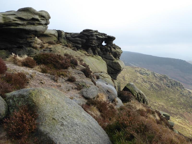
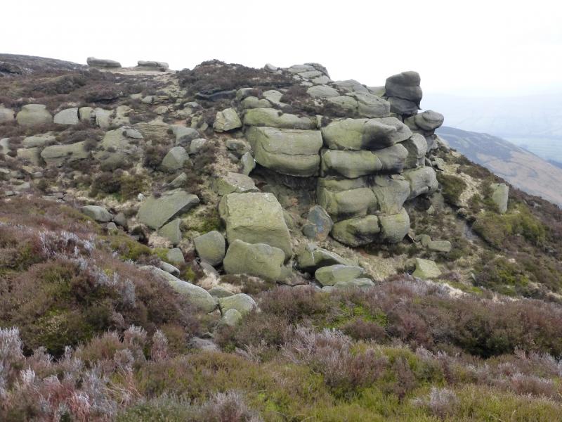
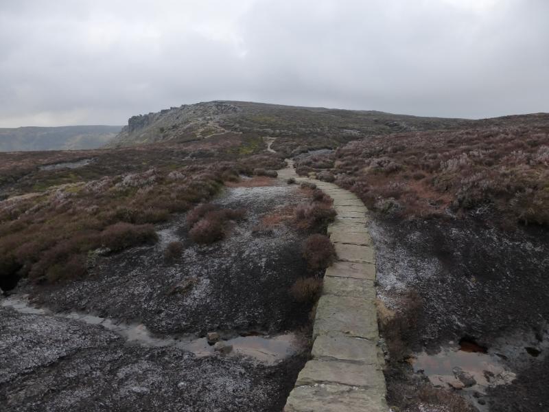
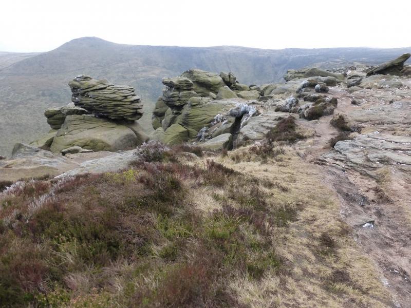
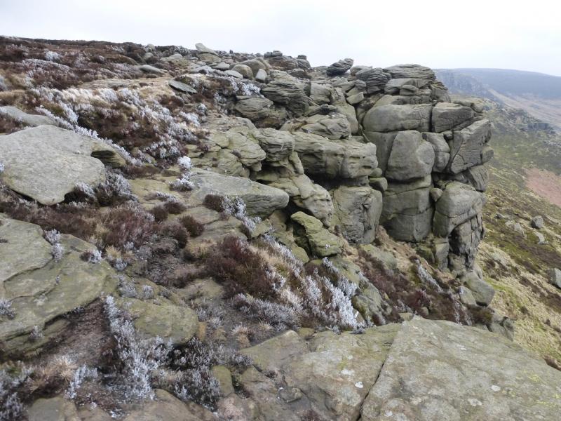
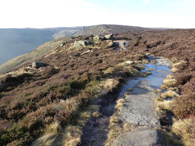
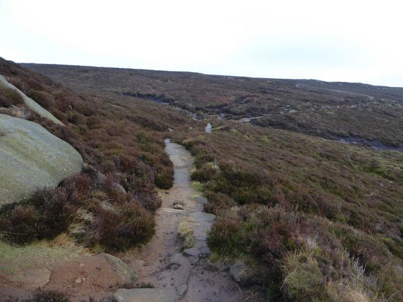
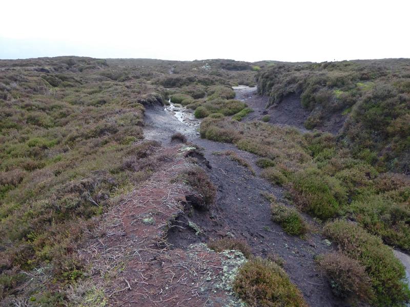
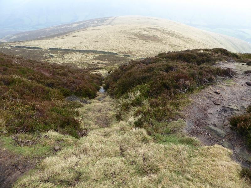
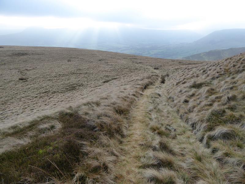
(3) Follow the edge path around the top of the northern spur of Grindsbrook Clough. Cross the stream by a choice of routes then follow the edge path back along the side of the northern spur then roughly E, on an obvious path, over Upper Tor then Nether Tor. If it is clear, then Trig Point 590 will be seen in the distance on the highest part of the eastern end of the plateau. Cross the upper part of Golden Clough on the upper path. The lower path has a very large cairn in the clough then continues to the rocks on Ringing Roger. The upper path, which this route uses, reaches the Ringing Roger crest above the rocks and between two large cairns. Follow the edge path, roughly E, past a fenced area on its lower side but stay as high as possible below the fence as there are two paths. One goes towards the rocky corner on the right, the route stays on the higher path. The ground is quite featureless so pass the rocky corner and look for a very shallow gully going left from an almost hidden broken wall on the right. Follow this gully up using a faint path on its right. By the time it fades away, you should be able to see the trig point at about 1000 (ahead but diagonally left). Start heading towards with lots of mini detours around boggy areas helped by newly constructed mini soil “dams”. The aircraft wreckage is in this section and part of it sticks up to a height of nearly 2 m so should be spotted in good weather especially if the sun picks it out. A wreath is usually seen here in November. Continue towards the trig point, probably joining a very obvious path when close, before reaching the newly cobbled and slabbed area around the Kinder East Trig Point, 590 m. It is the highest point in the vicinity but does not feel like a summit. There is a scout plaque on the trig point.
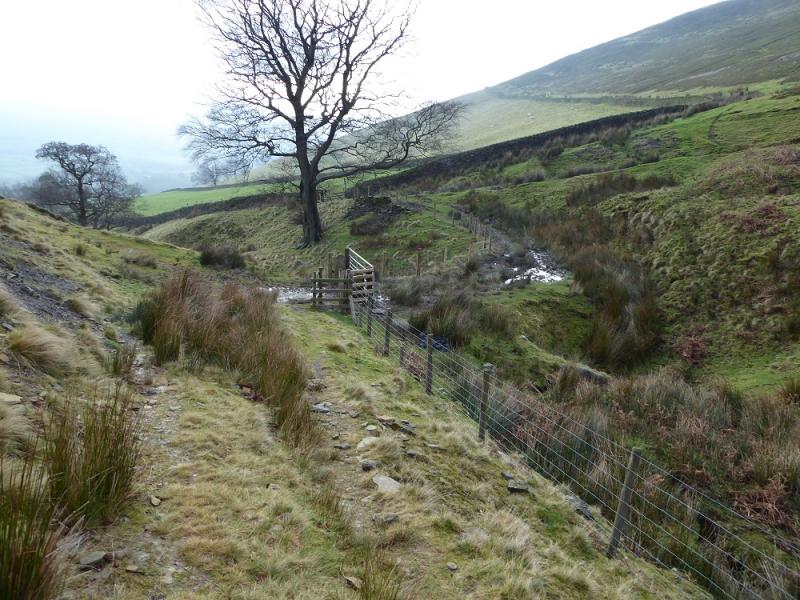
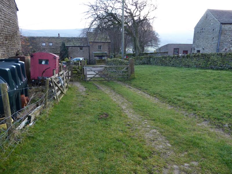
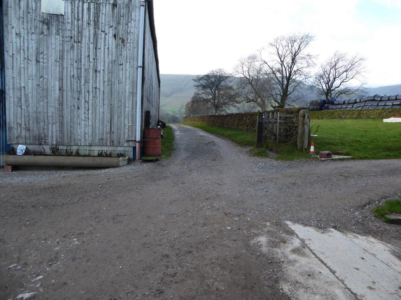
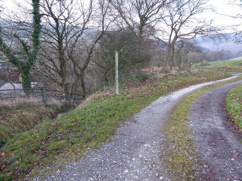
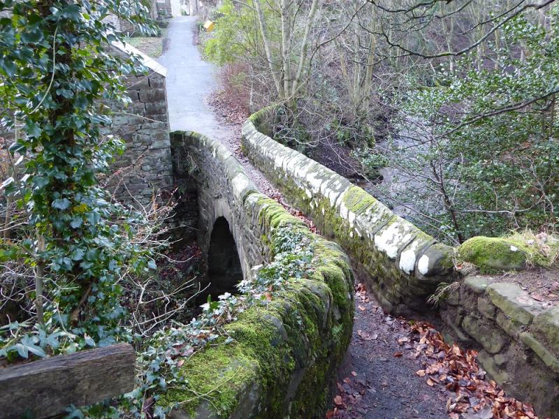
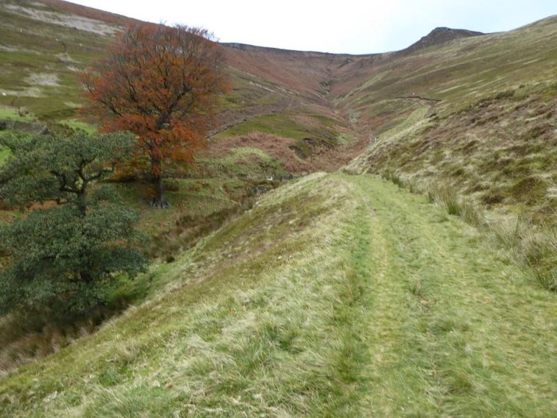
(4) Head S from the trig point and soon find a faint path. You are aiming for the fence if the weather is clear. Not far from the trig point is a very wet area which is impassable so go around this on its left and pick up another faint path. This soon peters out but the ground is not too bad as you converge on the fence. Follow it to the corner passed under earlier if you went looking for the aircraft wreckage. Reach the upper edge path then drop down to the lower path and follow it left towards the rocky corner above Ollerbrook Clough. Just before the path starts to climb towards a rocky spur continue ahead and descend from the edge on a path which heads towards a broken wall on Rowland Cote Moor, the ridge on the E side of Ollerbrook Clough. Lower down, the path splits, take the right fork to a gap in the wall. To the left of this is a stile over a fence which was hidden from view until now. Cross the stile and follow the path which drifts left before coming back and soon becoming a grassy track. Follow this track which, later, turns right and starts descending (overgrown in places) towards Ollerbrook Clough. Lower down, it makes a sharp turn left then continues down the clough where it crosses over. Follow the grassy track down the lower clough to reach Ollerbrook by the post box. Turn right and walk into the farmyard. Take the track on the right (straight on) which eventually leads back to the Nag's Head. The track is left at a signpots for a path which takes one to a lovely narrow stone bridge high over the river. On the other side, a tarmac road leads up to the Nag's Head.
Notes
(a) This walk took place on 16th December, 2016.
(b) If you are not interested in looking for the aircraft wreckage then it is much quicker to walk up Golden Clough when the edge path crosses it. When the ground levels out, it can be tempting to follow the gruffs at the top of Golden Clough but these are likely to take you away from the trig point as they trend NW.It is probably best to head NE from the top of Golden Clough; the trig point will soon come into view. Unfortunately, the intervening ground can be wet and boggy but there are hints of paths which lead to the trig point.
Photos - Hover over photo for caption. Click on to enlarge. Click on again to reduce.