Get Lost Mountaineering
You are here: England » Peak District » Black Hill, Lad's Leap, Laddow, Longdendale, Ravenstones & Dovestone Reservoir
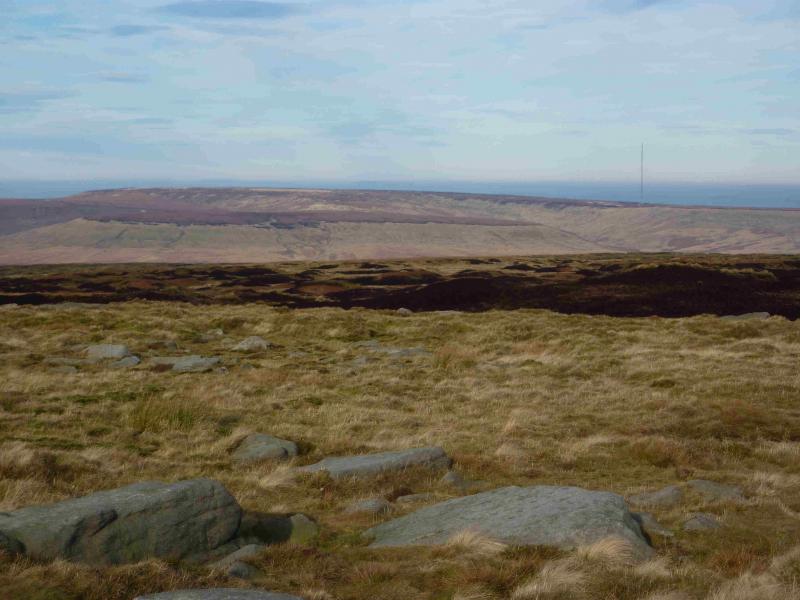
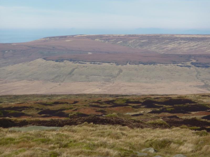
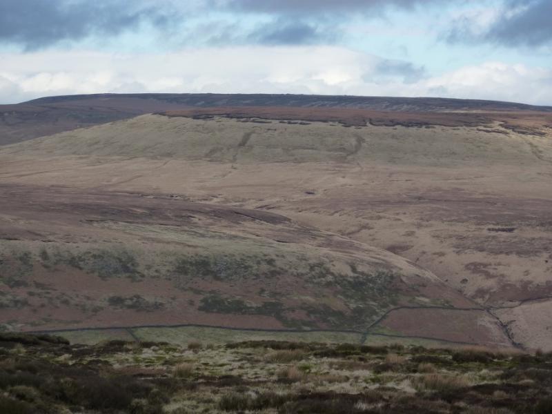
Black Hill from Holme Moss
Black Hill from Holme Moss
Start/Finish
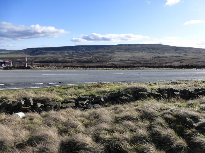
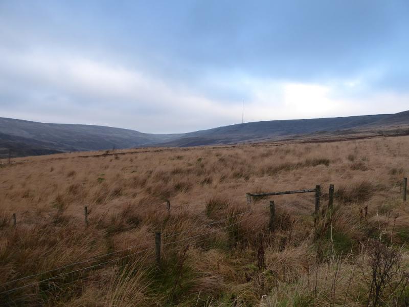
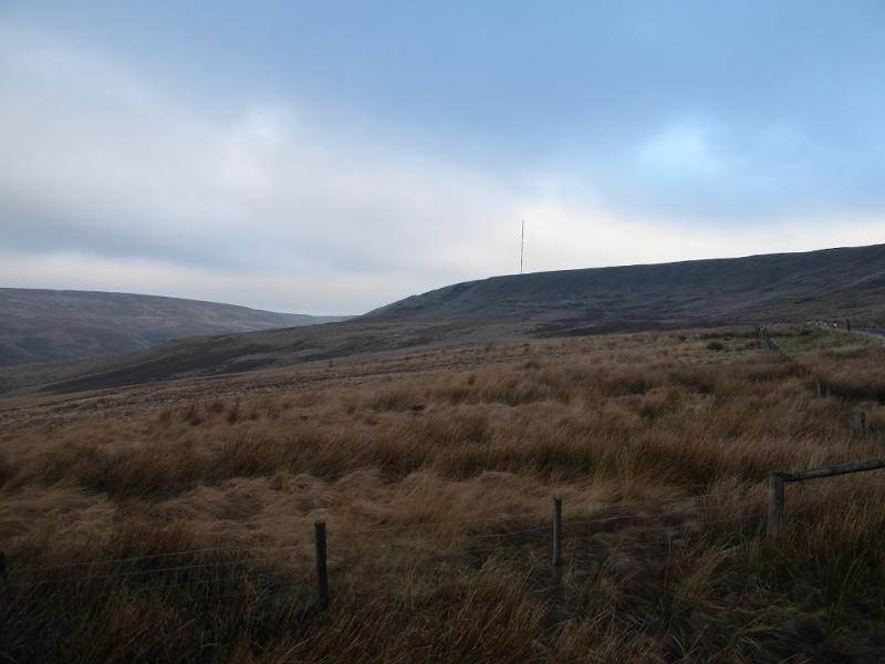
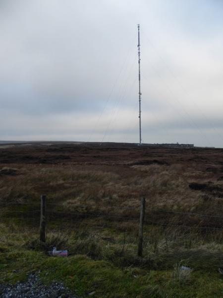
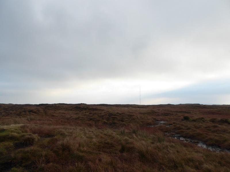
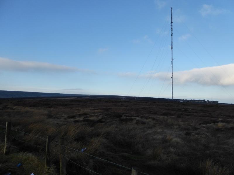
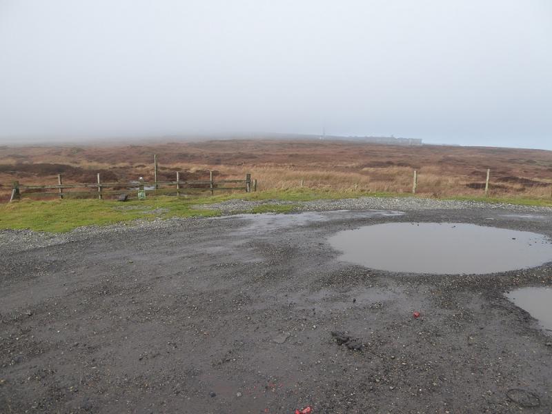
A large rough gravel car park (often full of puddles) at the top of the A6024 road which leaves the A628 Woodhead Pass road just to the west of the Woodhead Bridge by Woodhead Reservoir. From the north, one takes the same road from Holmfirth to Holmbridge then up to the top of the pass. You know you are there as the tall Holme Moss Mast is close by although it may not be visible in thick weather but its access road is on the northern side of the pass.
Distance/Time
5 km. About 2 – 3 hours.
Peaks
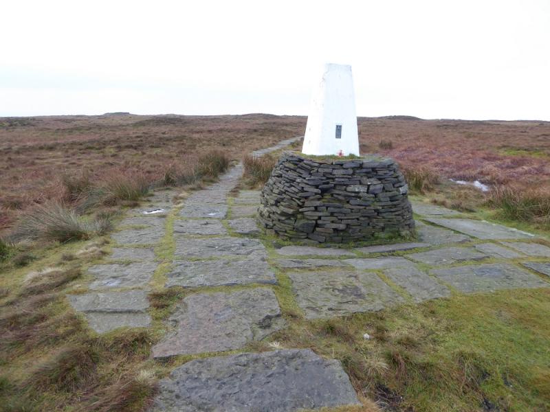
Black Hill, 582 m, SE 078 046. OS Outdoor Leisure 1: Dark Peak
Introduction
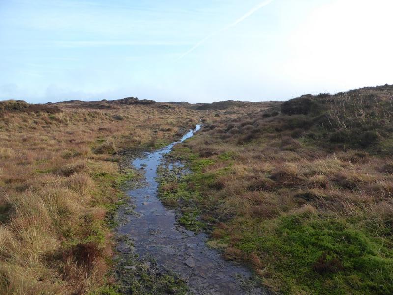
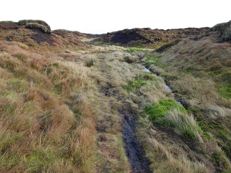
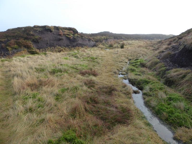
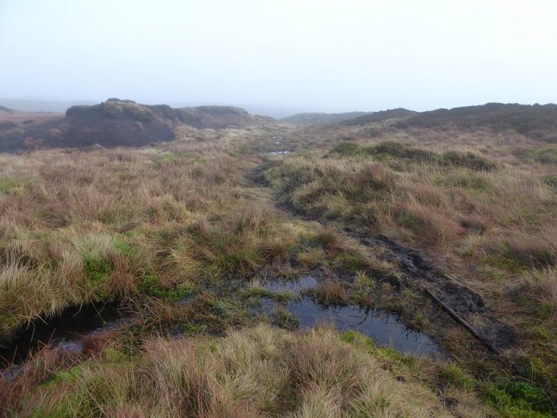
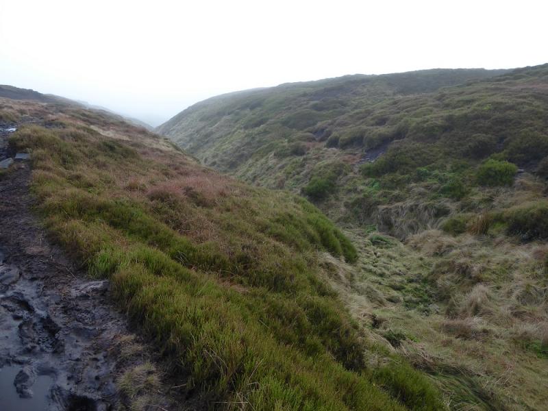
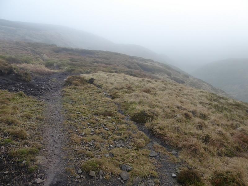
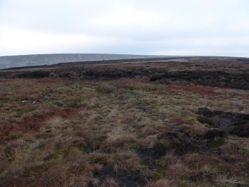
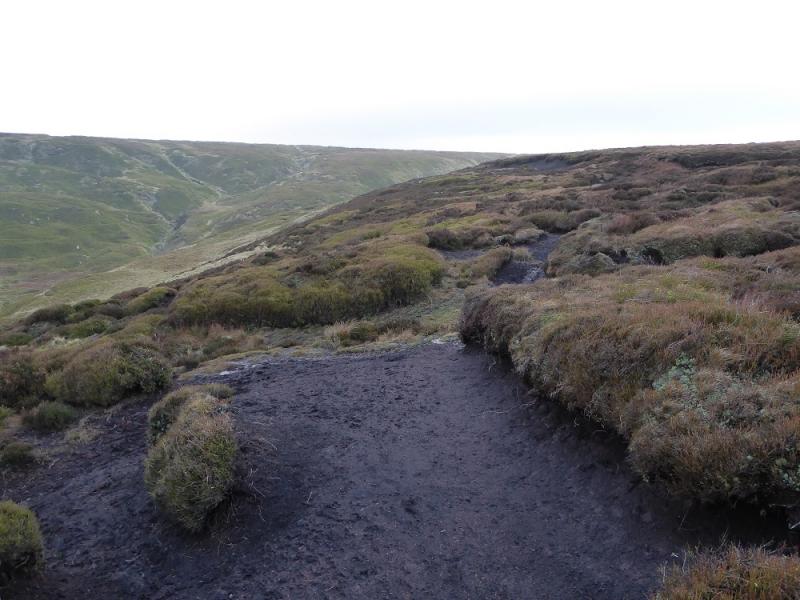
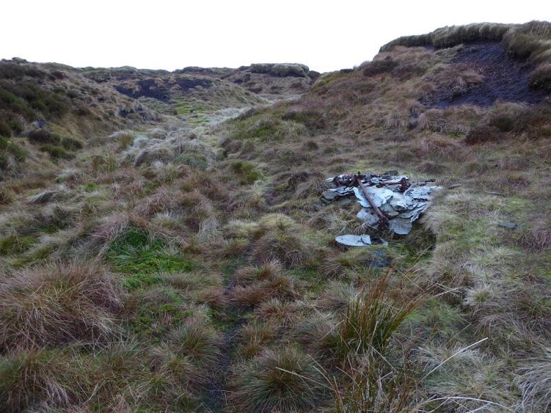
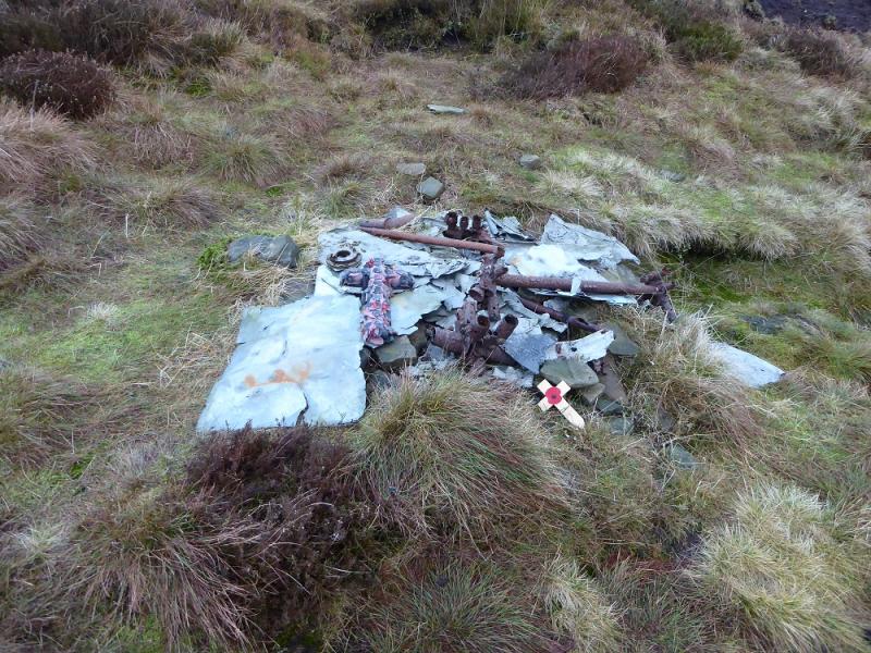
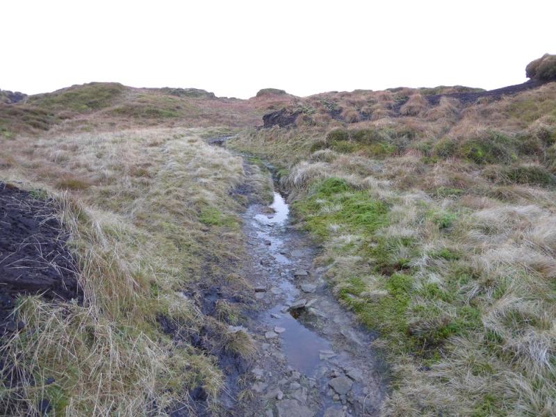
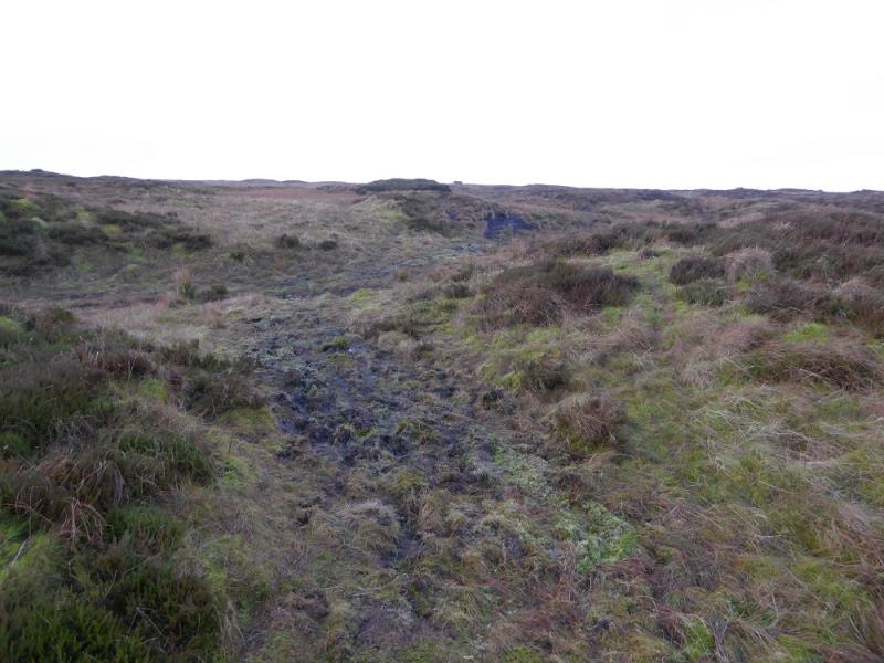
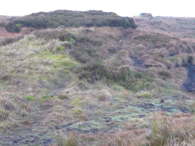
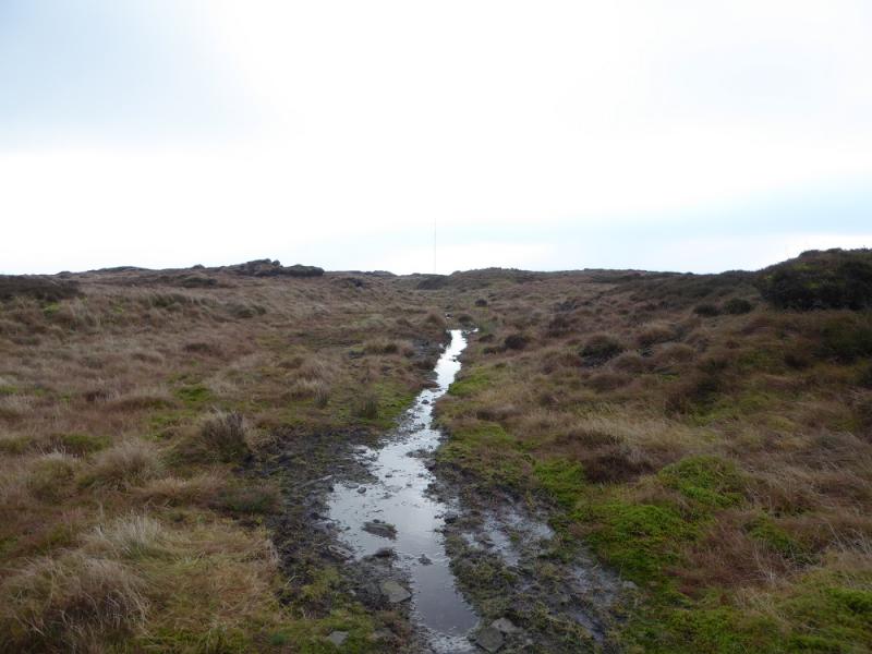
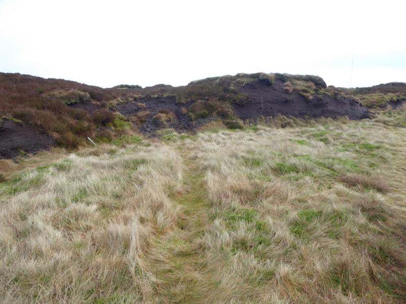
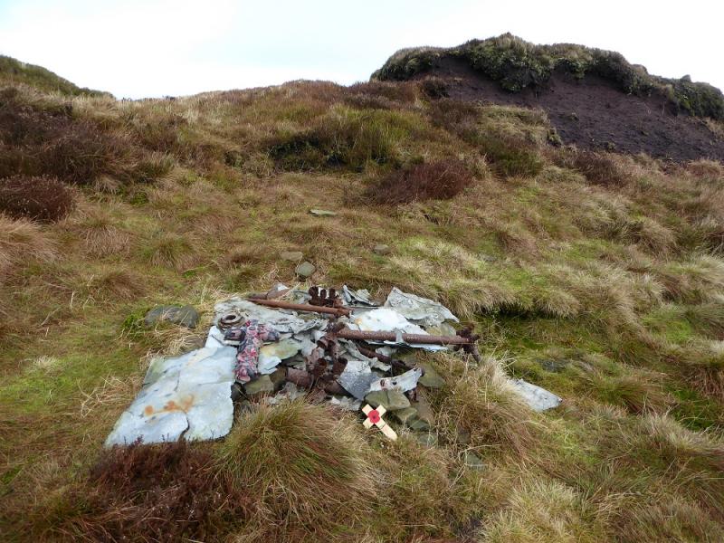
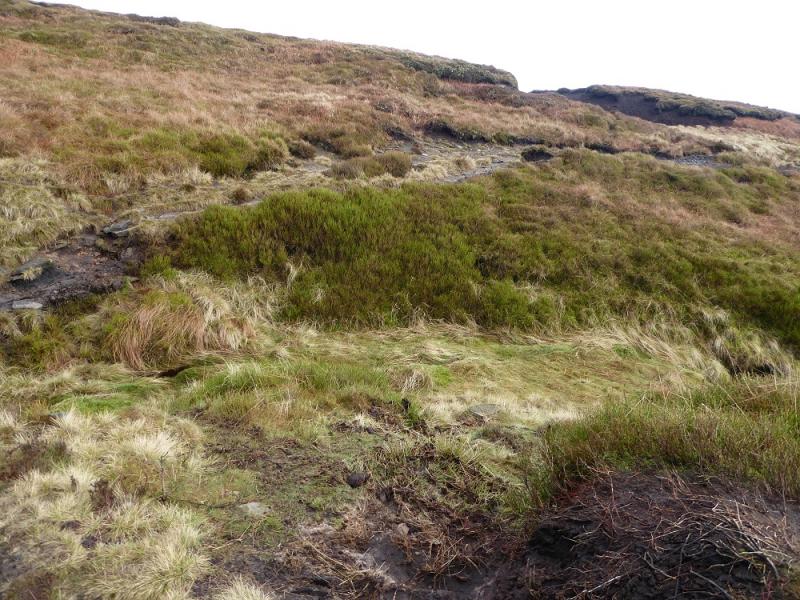
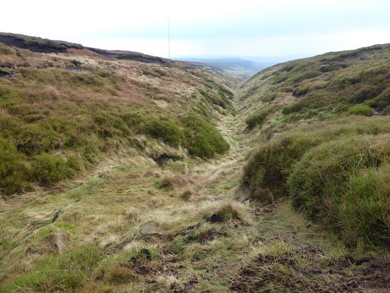
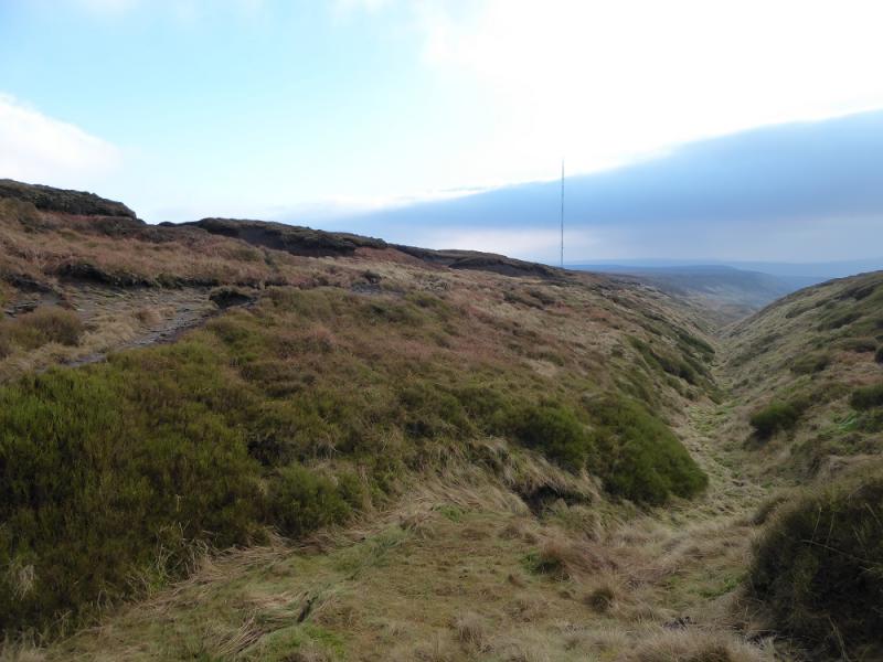
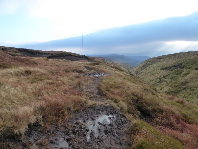
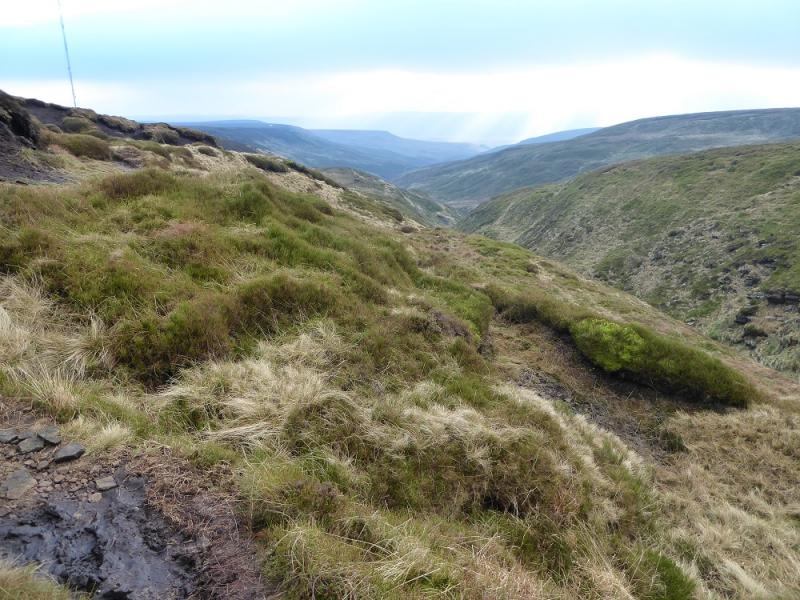
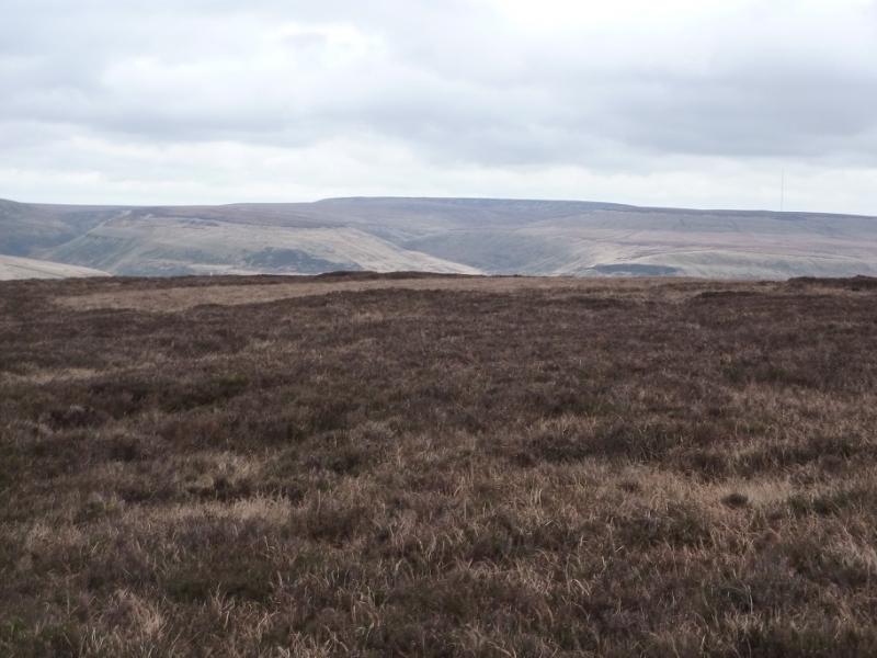
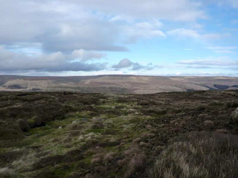
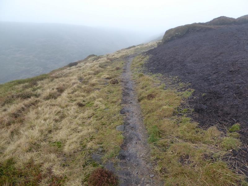
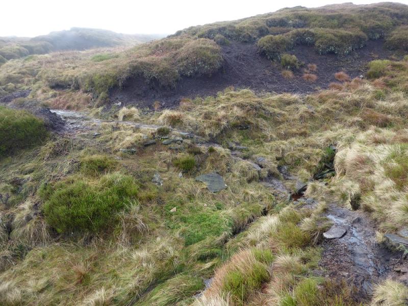
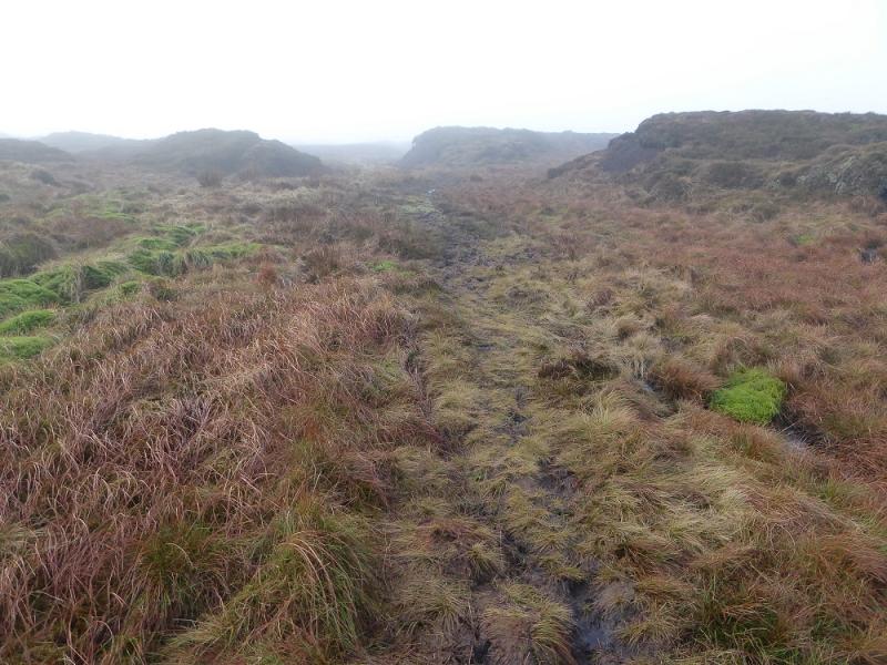
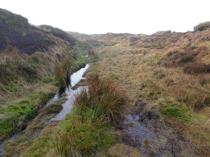
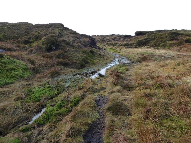
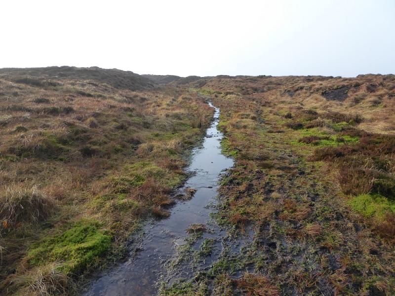
This is the shortest route from a public road to the summit of Black Hill. It also has the highest starting point at over 500 m. There is an old path all the way, through mainly featureless ground, but it would soon disappear in snow. As one would expect in this area, there is some wet and boggy ground but it is not too bad and seems less boggy than the approach from Crowden via Tooleyshaw Moor. It is also a lot less stony than the Pennine Way approach. By all accounts, this is the easiest way for those whose only ambition is to reach the summit. On a clear day, there are good views in all directions including Bleaklow to the south. Note that in low cloud, the mast is unlikely to be seen at all during the walk despite its closeness to the starting point. This route was walked in thick mist then again, a few days later, in clearer conditions. There is a small amount of aircraft wreckage between the Heyden Clough crossing and the summit but it is not on the main path.
Route
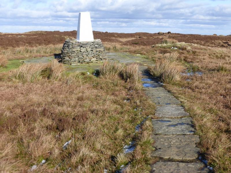
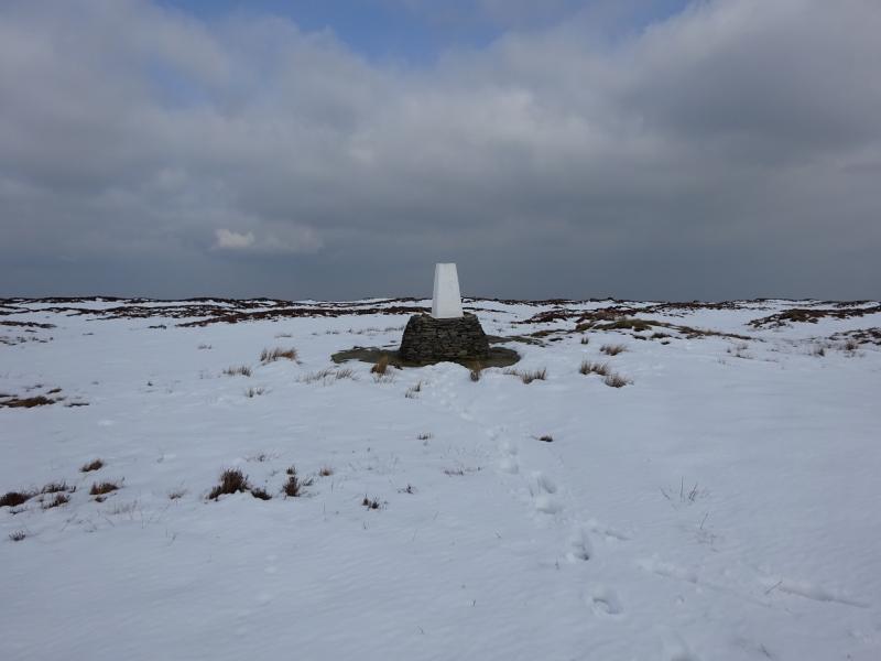
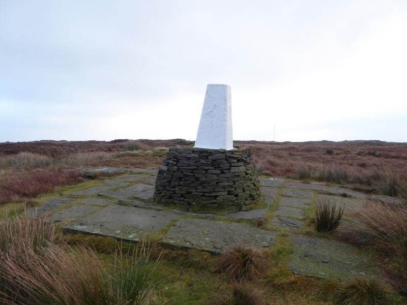
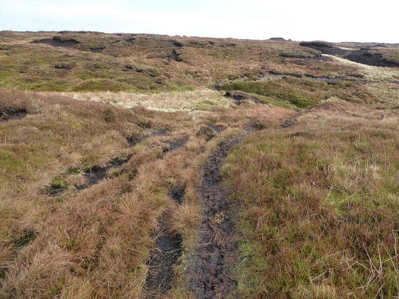
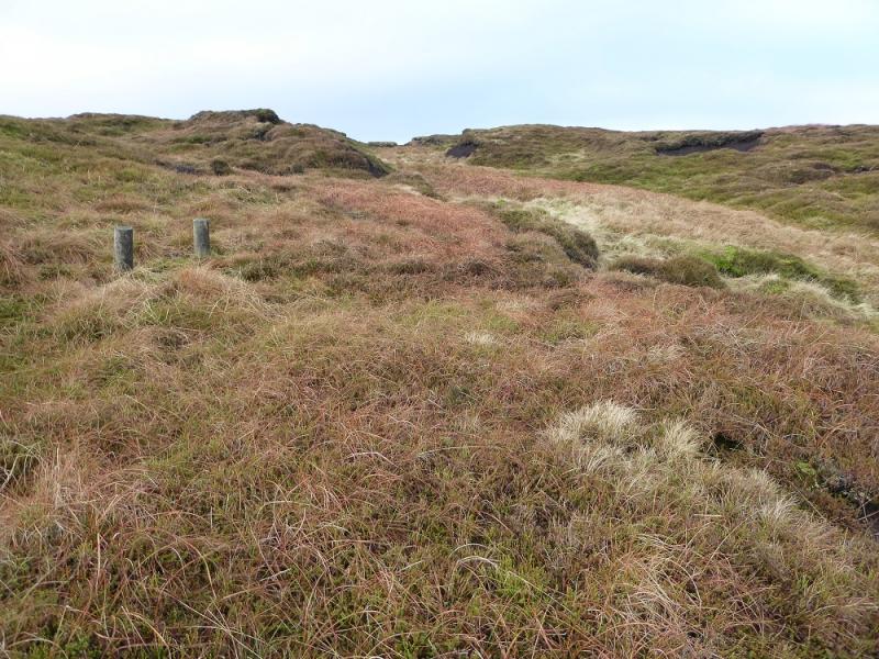
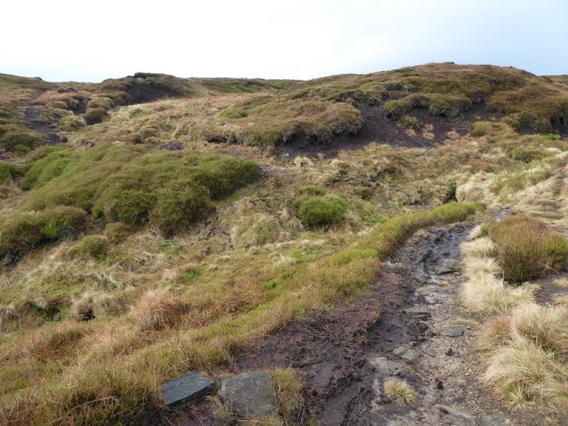
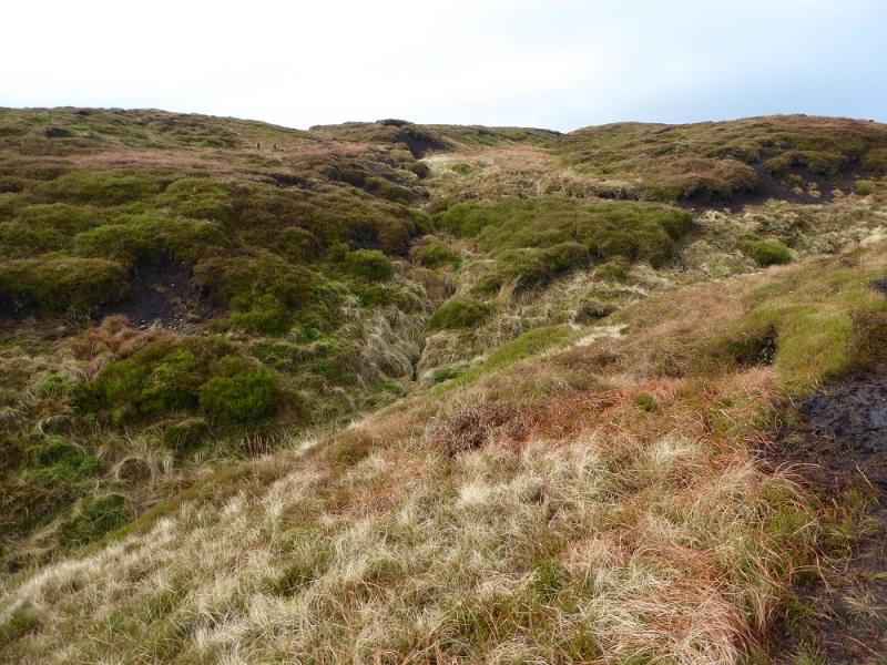
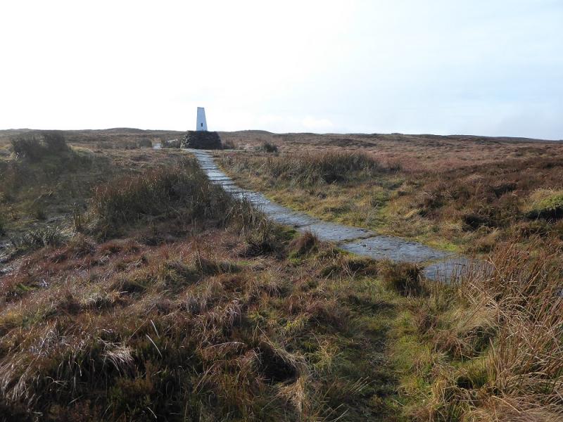
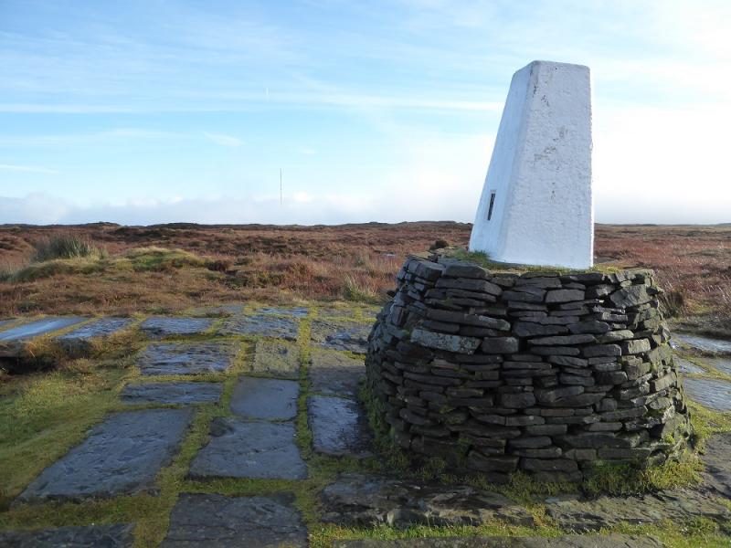
(1) Cross the stile at the back of the “car park” and follow the boggy path roughly NW. The path gradually gets closer to the edge of Heyden Clough. When it does, there are two paths for a while with the lower one being the drier and less peaty. Eventually, the clough is crossed almost at its head and the direction is now roughly WSW with the path becoming quite grassy as it winds its way through the peat mounds. The slabbed Pennine Way is reached about 30 m N of the trig point which marks the summit of Black Hill, 582 m. The trig point is not usually visible until one is within about 200 m.
(2) Retrace the outward route.
Notes
(a) This walk took place on 17th December, 2016.
(b) To visit the aircraft wreckage on the walk in, follow the now very shallow Heyden Clough up from where the path crosses it. A little further on the main path are two short stakes whose line roughly points up this clough. After the wreckage the faint path rejoins the main one further on.
(c) To visit the aircraft wreckage on the walk out, follow the twisting path from the summit until it goes right just before a low peat bank. Go up this bank to reach a fainter path which leads to the wreckage. After continue down to reach the main path where it crosses Heyden Clough.
Photos - Hover over photo for caption. Click on to enlarge. Click on again to reduce.
.jpg)
.jpg)