Get Lost Mountaineering
You are here: England » Peak District » Black Hill, Lad's Leap, Laddow, Longdendale, Ravenstones & Dovestone Reservoir
Black Hill from Holme Moss via Kaye Edge & Issue Edge from Holme Moss
Black Hill from Holme Moss via Kaye Edge & Issue Edge
from Holme Moss
Start/Finish
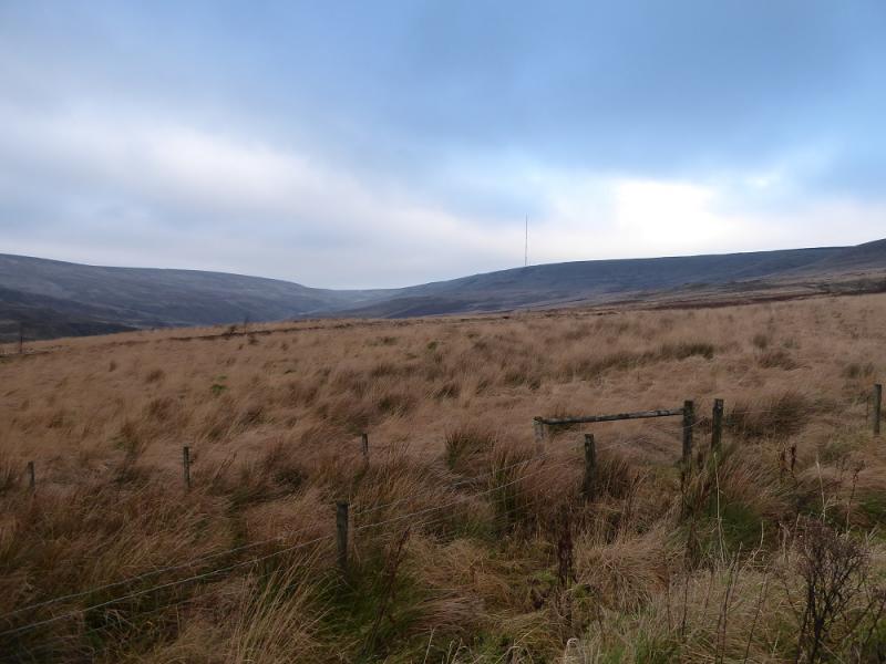
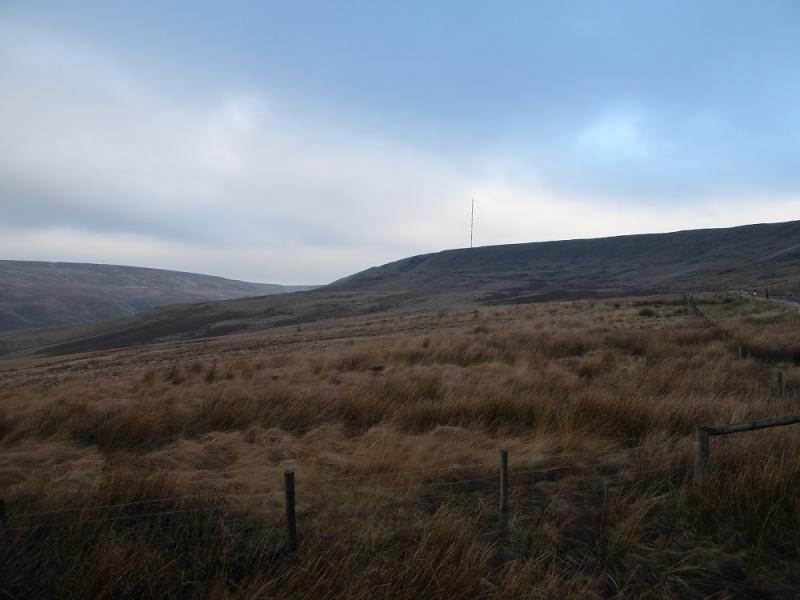
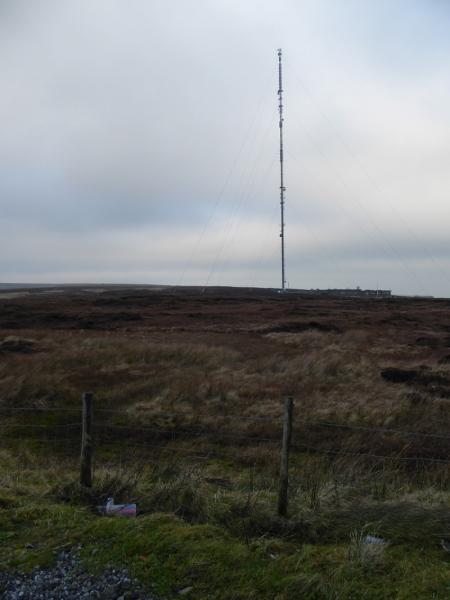
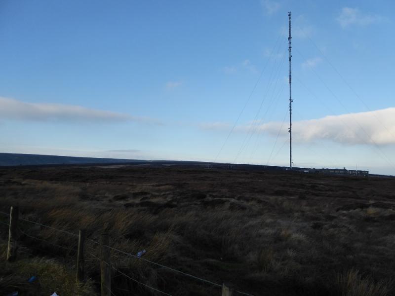
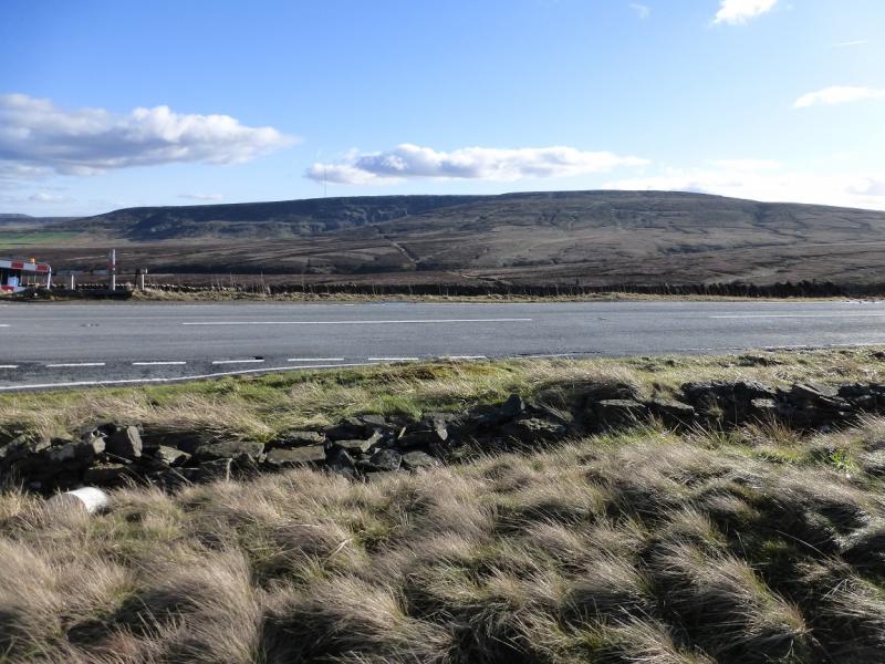
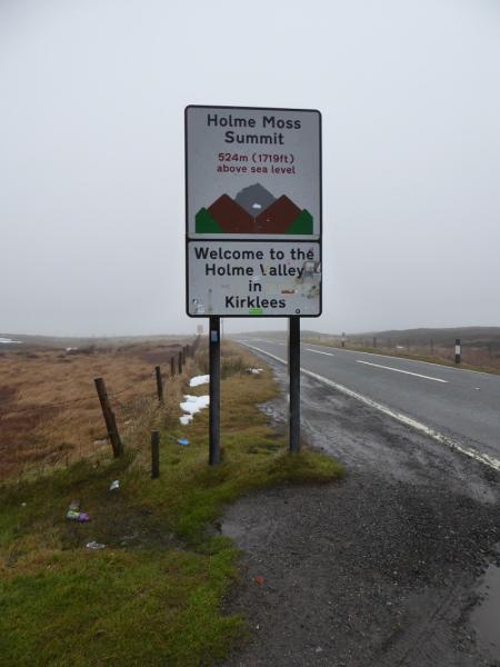
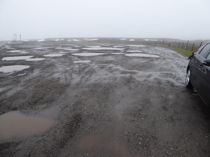
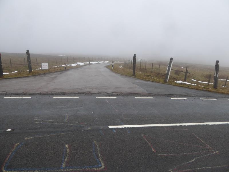
A large rough gravel car park (often full of puddles) at the top of the A6024 road which leaves the A628 Woodhead Pass road just to the west of the Woodhead Bridge by Woodhead Reservoir. From the north, one takes the same road from Holmfirth to Holmbridge then up to the top of the pass. You know you are there as the tall Holme Moss Mast is close by although it may not be visible in thick weather but its access road is on the northern side of the pass. There is a better car park about 300 m further on the opposite side of the road just after the private road to the mast.
Distance/Time
6 km. About 3 hours.
Peaks
Black Hill, 582 m, SE 078 046. OS Outdoor Leisure 1: Dark Peak
Introduction
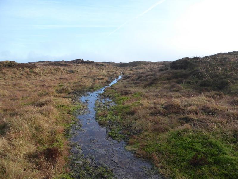
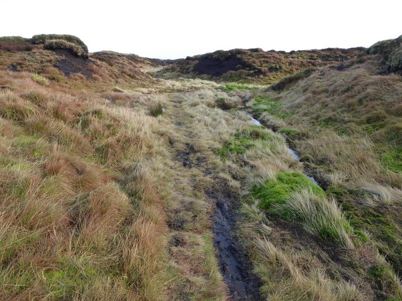
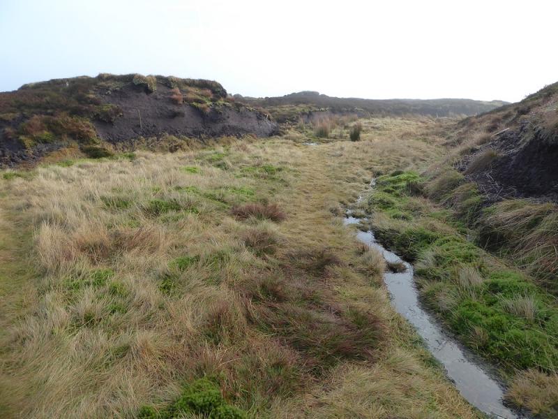
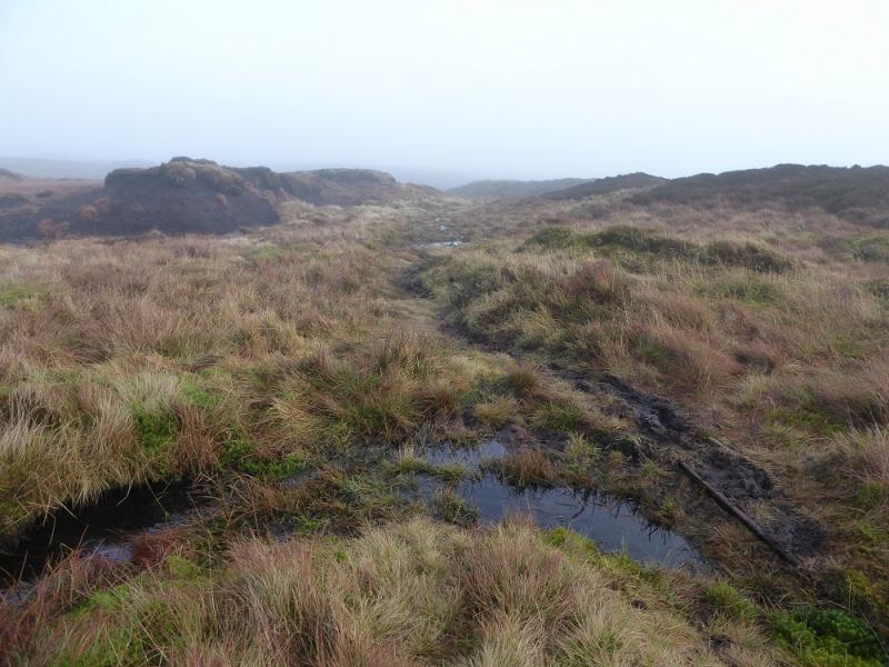
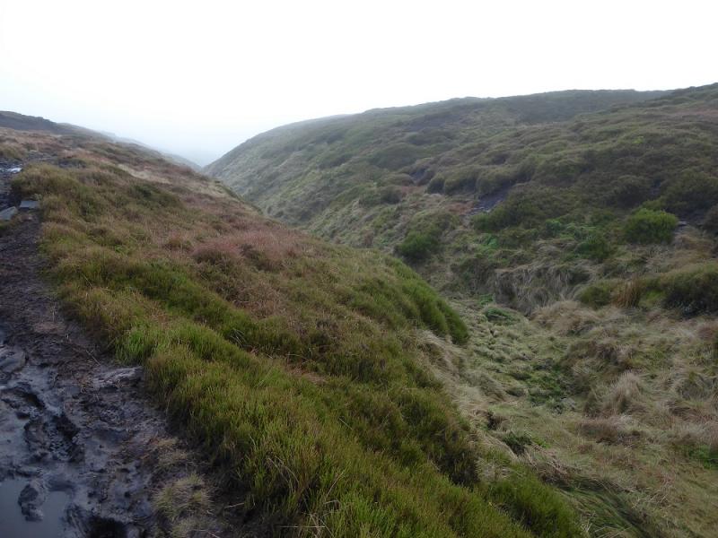
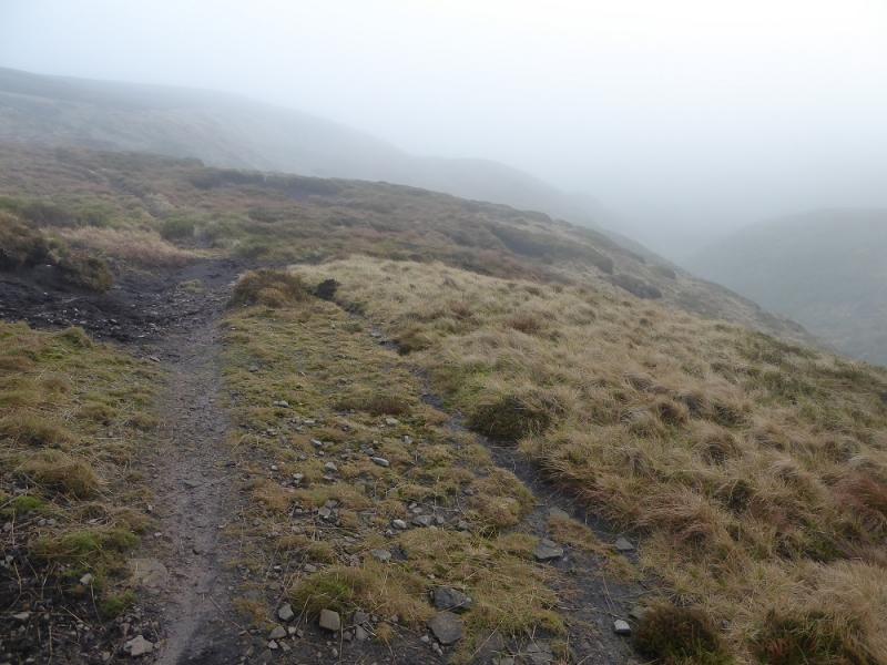
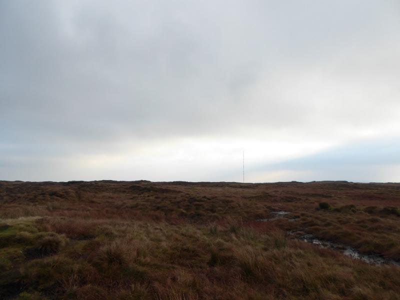
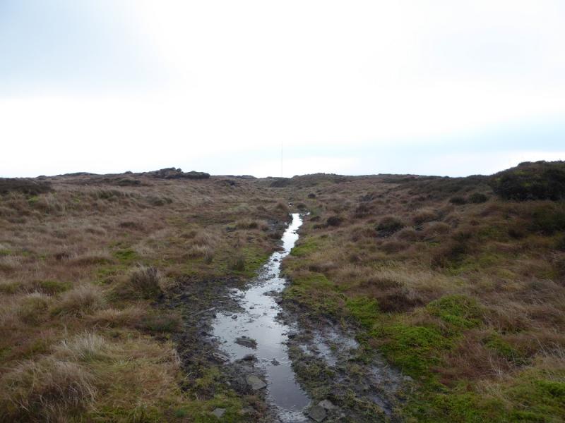
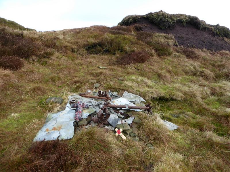
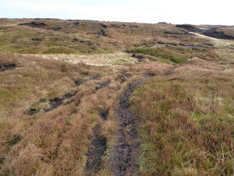
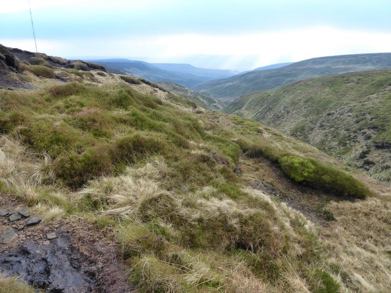
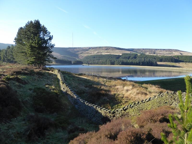
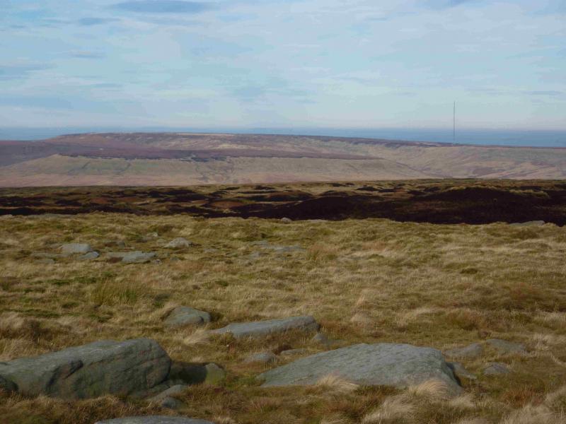
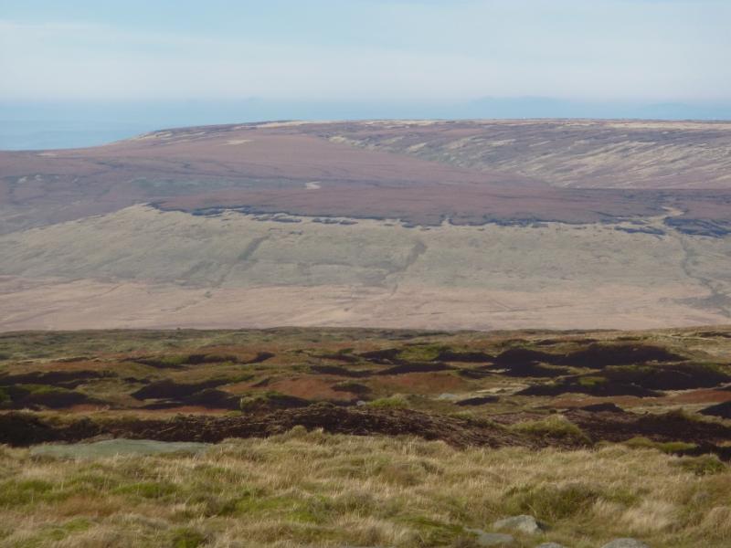
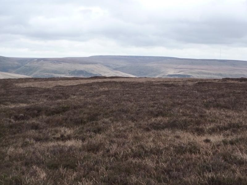
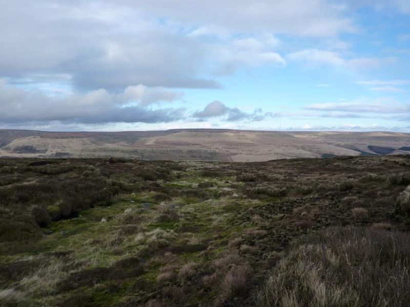
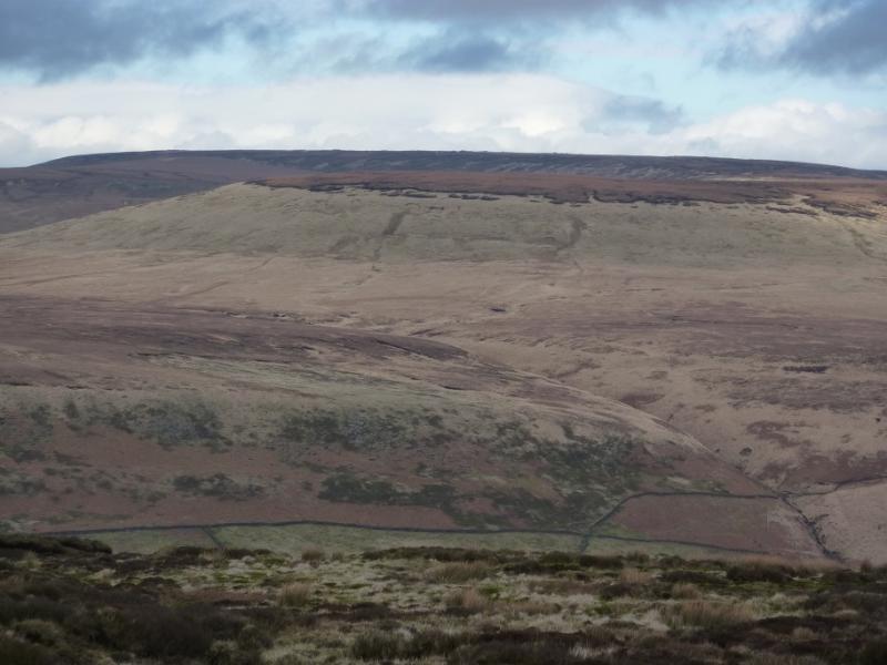
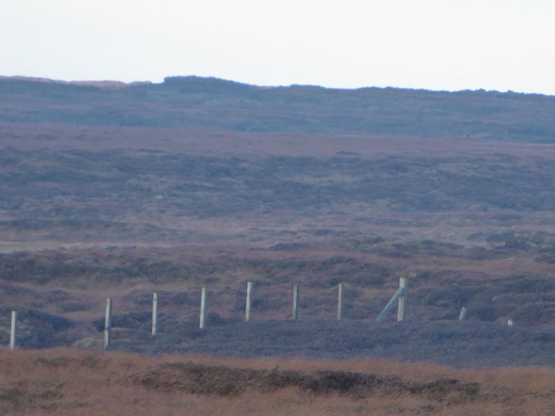
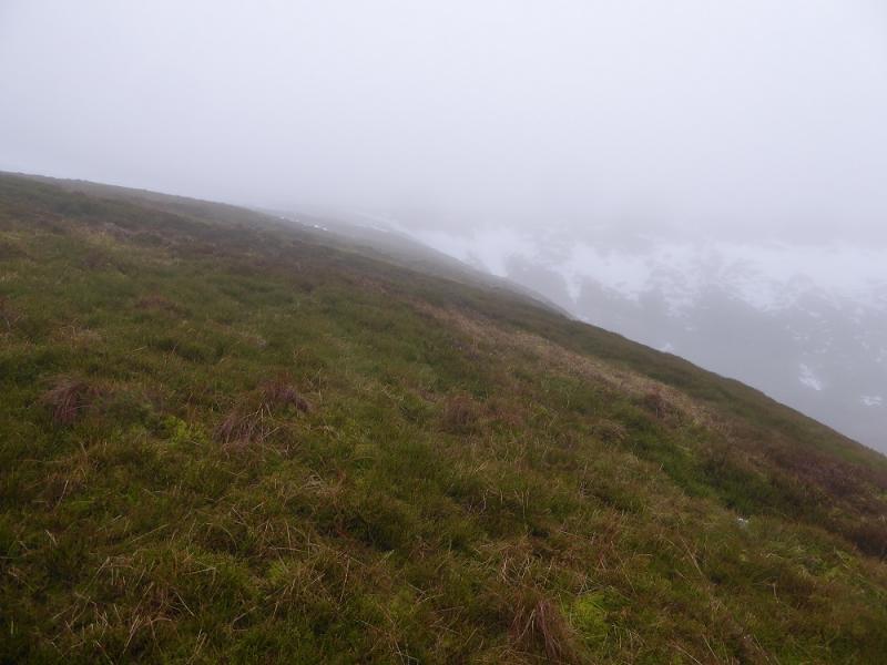
This is a fairly short route from a public road to the summit of Black Hill. It offers better views than the most direct route from Holme Moss. It also has the highest starting point at over 500 m. There is an old path all the way, through mainly featureless ground, but it would soon disappear in snow. As one would expect in this area, there is some wet and boggy ground but it is not too bad and seems less boggy than the approach from Crowden via Tooleyshaw Moor. It is also a lot less stony than the Pennine Way approach. On a clear day, there are good views in all directions including Bleaklow to the south and the Holme Valley to the north. Note that in low cloud, the mast is unlikely to be seen at all during the walk despite its closeness to the starting point. There is a small amount of aircraft wreckage between the summit and the Heyden Clough crossing but it is not on the main path.
Route
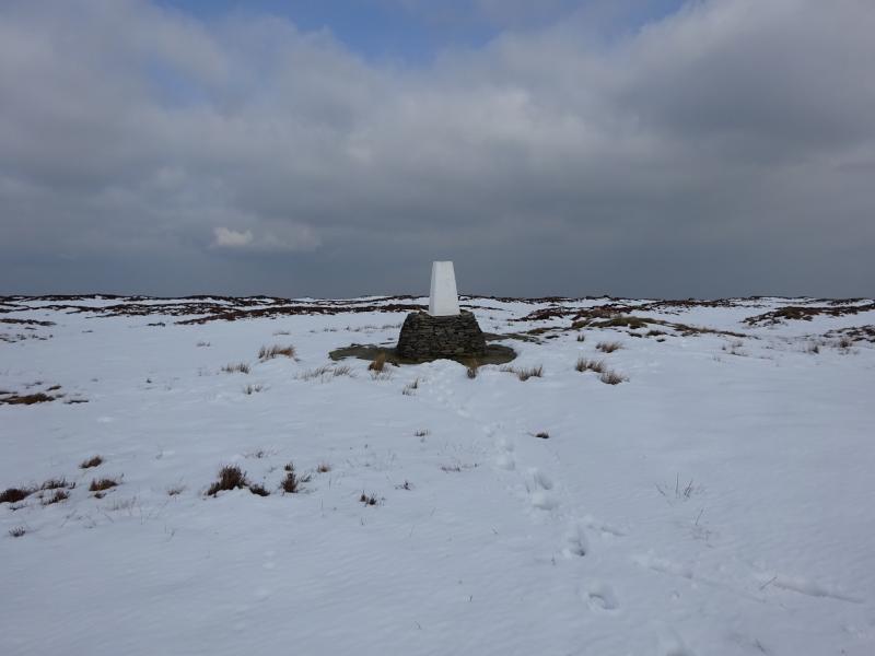
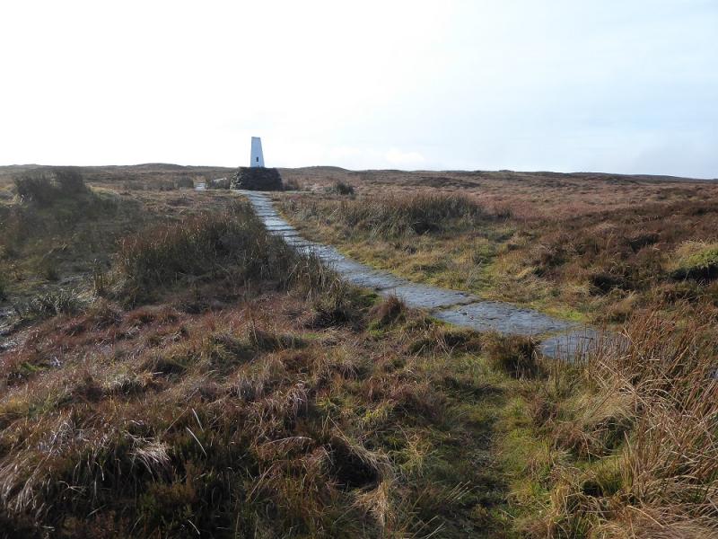
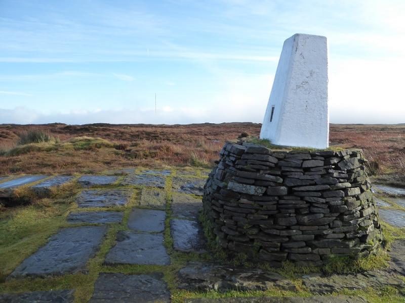
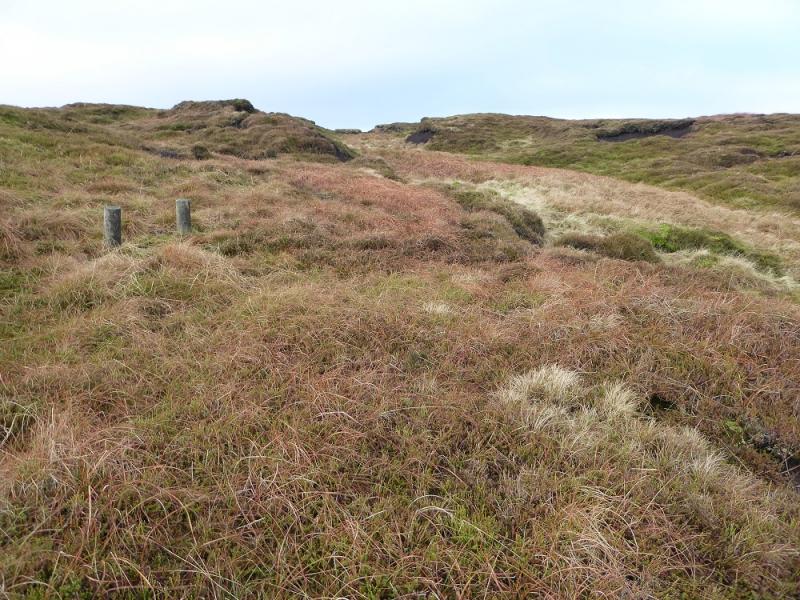
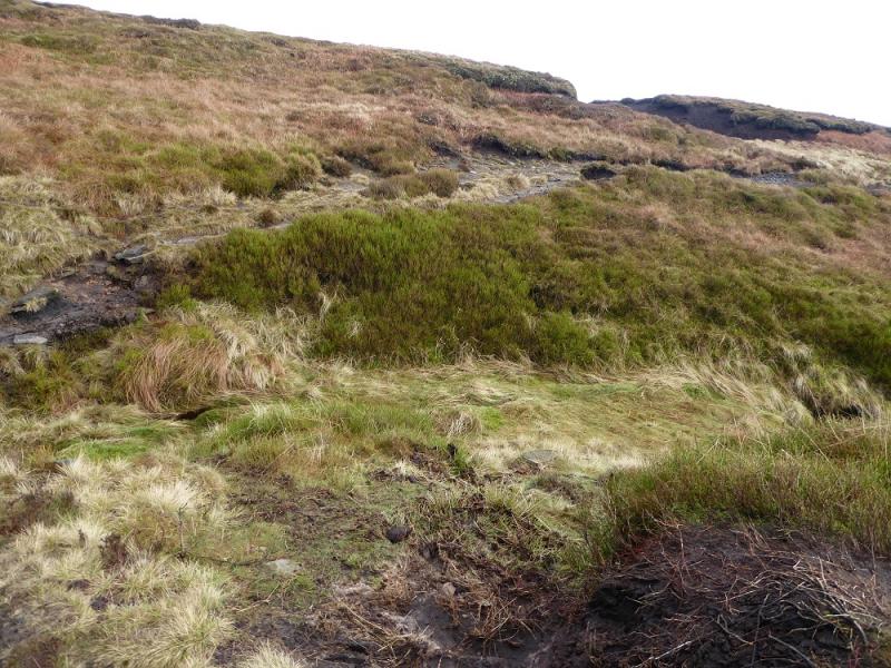
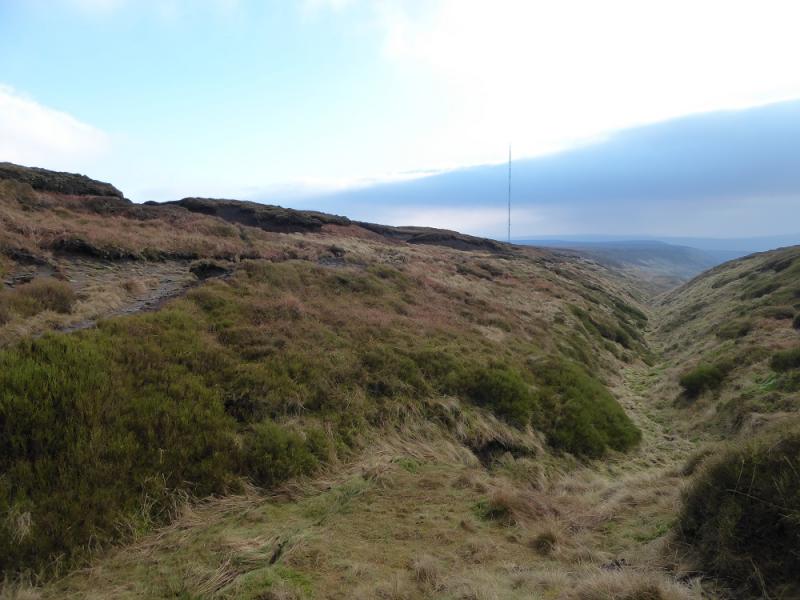
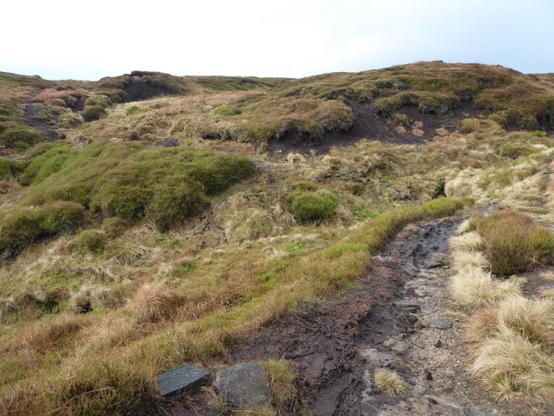
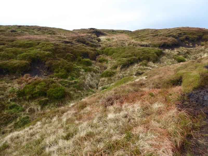
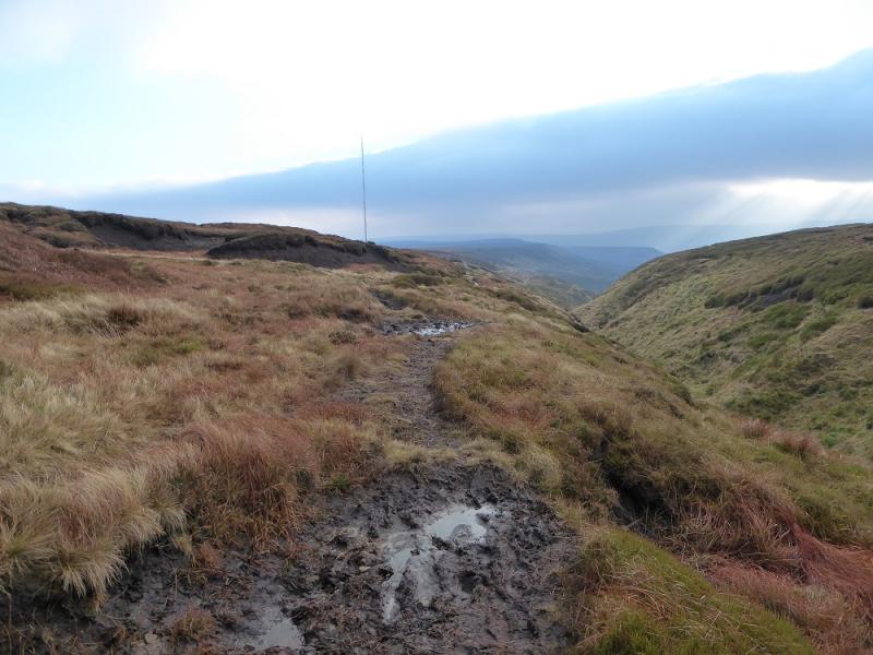
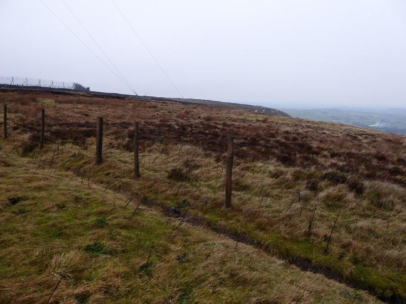
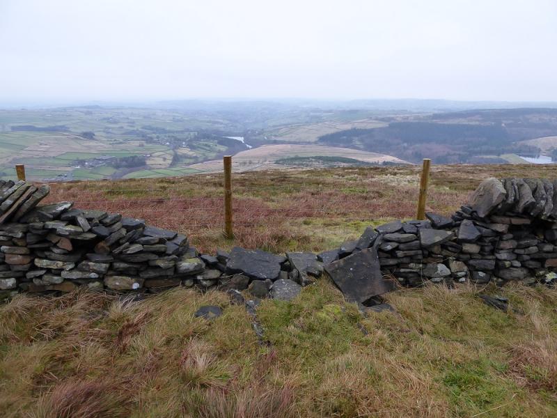
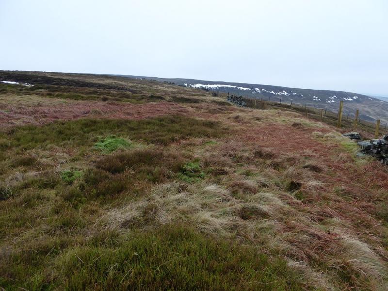
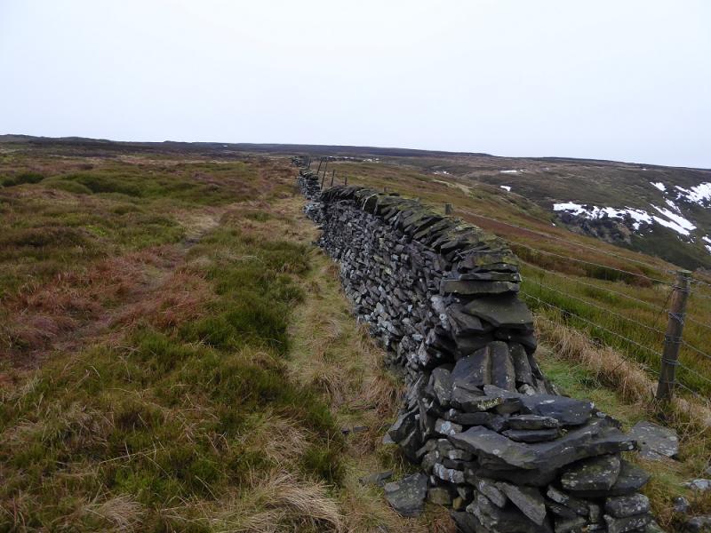
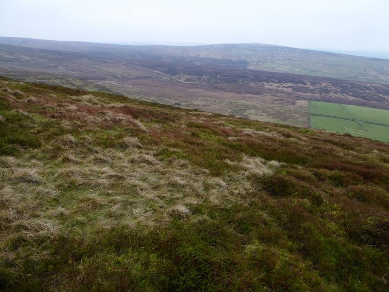
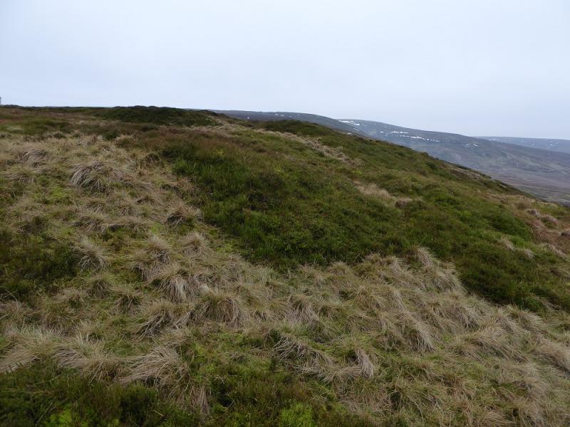
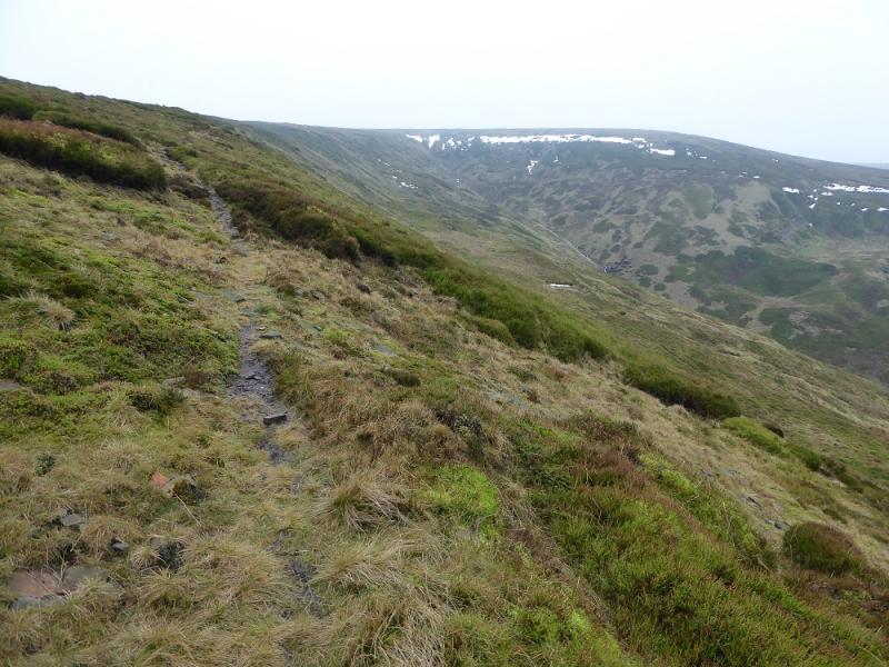
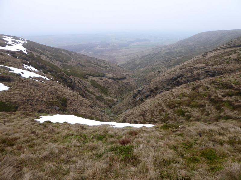
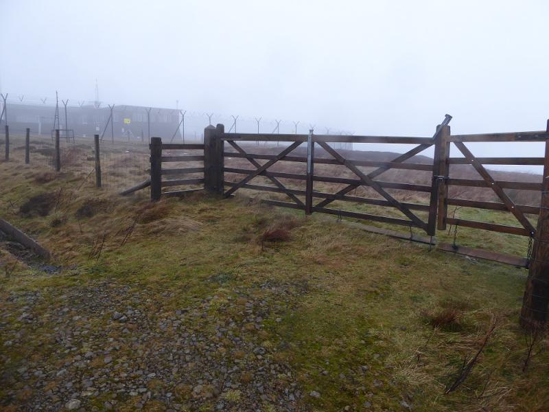
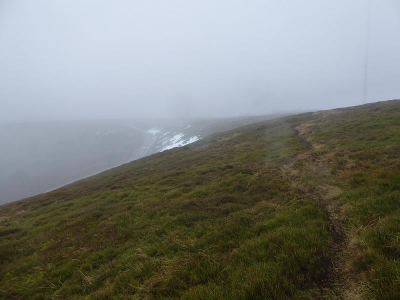
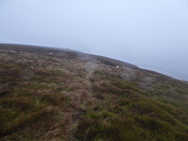
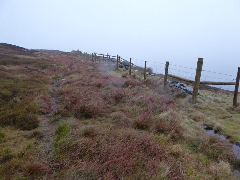
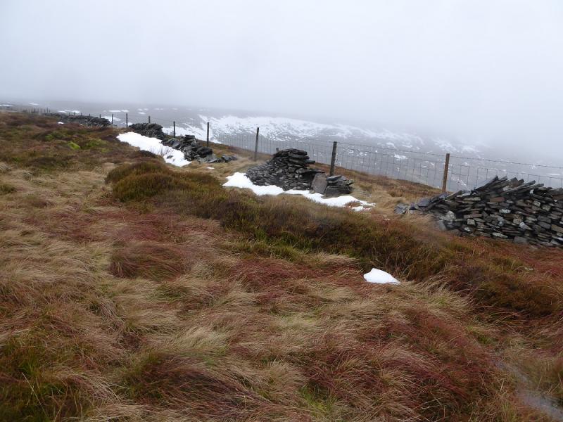
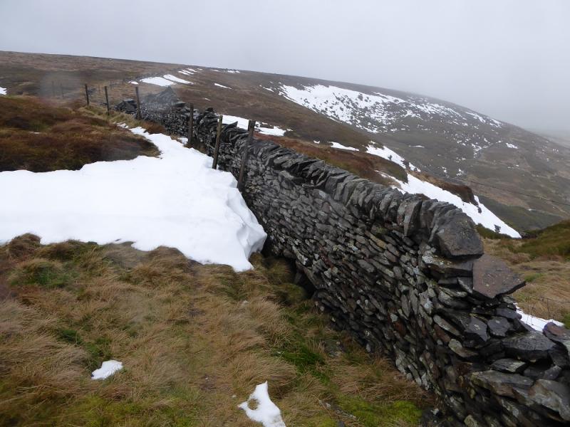
(1) Walk up the private road to the transmitter station. Just before its security gate is reached, there is a locked gate on the right over which is the faint path along Kaye Edge. Follow this path, trying to stay close to the edge where the views are better. After passing the transmitter station, a broken wall is followed along Kaye Edge before the wall goes off right. Further on, another wall is followed for a short distance. After Cliff Edge (no sign of a cliff!), the edge turns W and becomes Issue Edge above Issue Clough. The path can be faint in places but the edge is well defined enough to follow. At the top of the clough, leave the edge and continue W to reach the Pennine Way coming from Wessenden Head. Follow this, roughly S; it soon becomes a slabbed path and leads to the the trig point which marks the summit of Black Hill, 582 m.
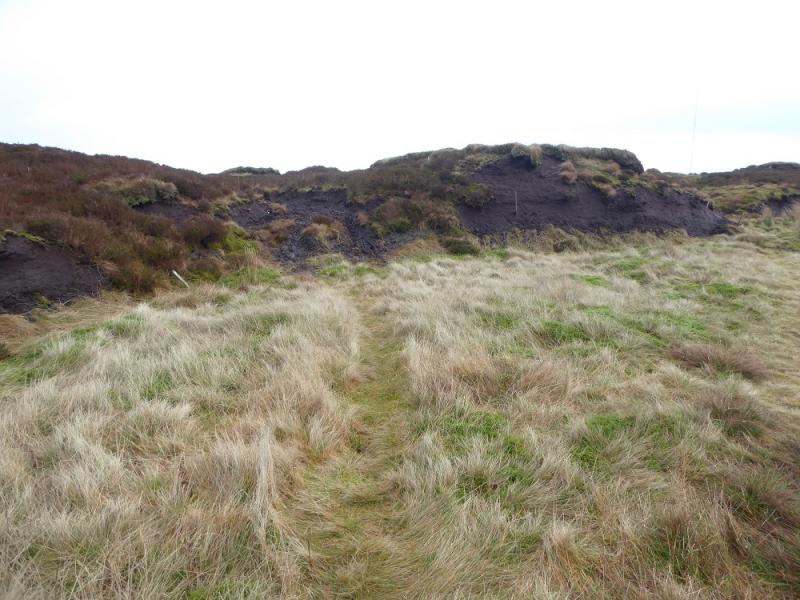
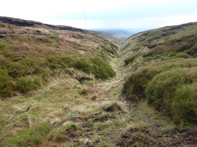
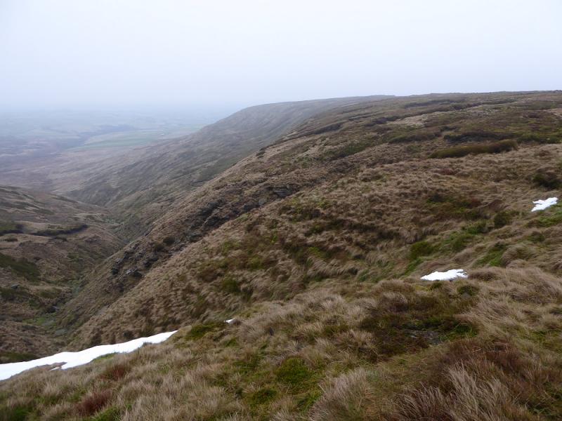
(2) Retrace about 30 m from the trig point then go right on a faint, sometimes boggy path. This weaves between the peat hags and is quite easy to follow. After a large meander, reach some old scattered stakes below a lowish peat bank. Go over the peat bank and follow a faint path to reach a small quantity of aircraft wreckage then continue on the path which later rejoins the former path just before the top of Heyden Clough is crossed. It is possible to reach this crossing by staying on the former path. After the crossing, follow the fairly obvious path along the edge of Heyden Clough. There is a more distinct path on the “crest” but it is more boggy than the edge path. Eventually the edge path peters out so go up on to the crest to pick up the main path (quite boggy) and follow this back to the Holme Moss summit rough car park where there is a stile at the back of the car park.
Notes
(a) This walk took place on 16th and 19th January, 2017.
(b) If the peat bank for the detour to the aircraft wreckage was missed then look for two low stakes on the right just before Heyden Clough is crossed. These point up the shallow grassy clough where the wreckage is.
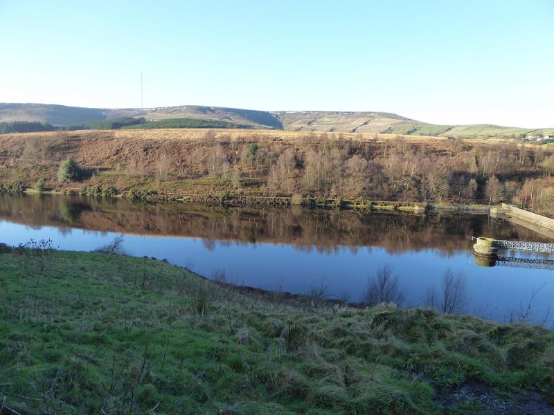
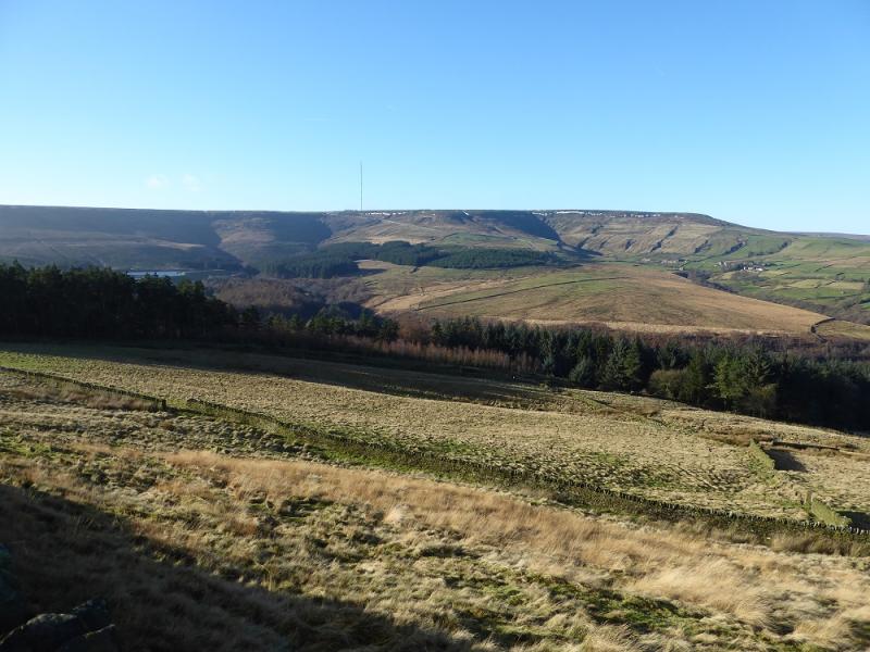
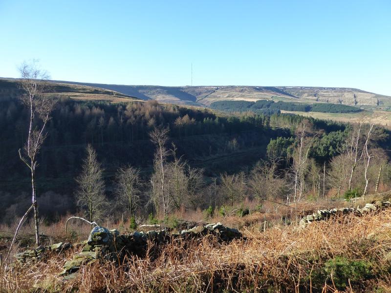
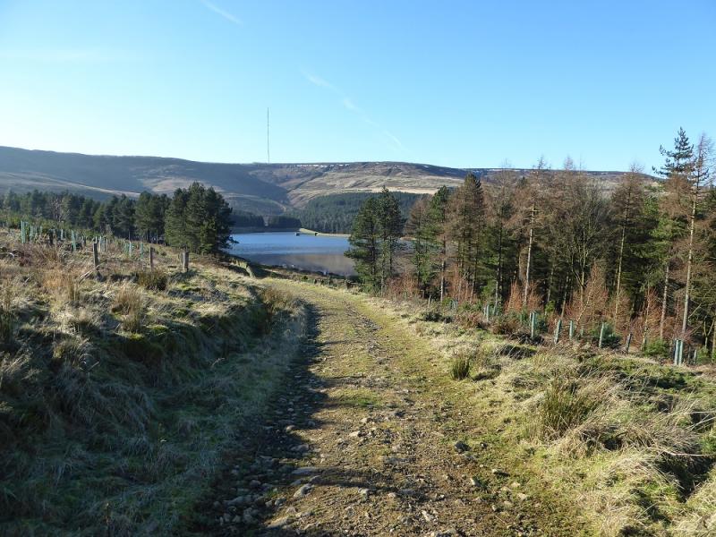
Photos - Hover over photo for caption. Click on to enlarge. Click on again to reduce.

.jpg)
.jpg)