Get Lost Mountaineering
You are here: England » Peak District » Ramsden & Snailsden
Ramsden Clough & Twizzle Head Moss from Ramsden Reservoir
Ramsden Clough & Twizzle Head Moss from Ramsden Reservoir
Start/Finish
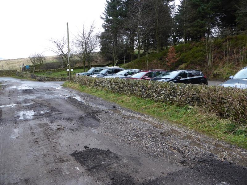
A small rough gravel car park by the side of Ramsden Reservoir which is reached by a minor road signed from Holmbridge (near the church) on the A6024. Holmbridge is about 2 miles south west of Holmfirth.
Distance/Time
8 km. About 4 hours.
Peaks
No peaks but the highest point is reached at Holme Moss summit at 524 m.
OS 110: Sheffield & Huddersfield. OS Outdoor Leisure 1: Dark Peak.
Introduction
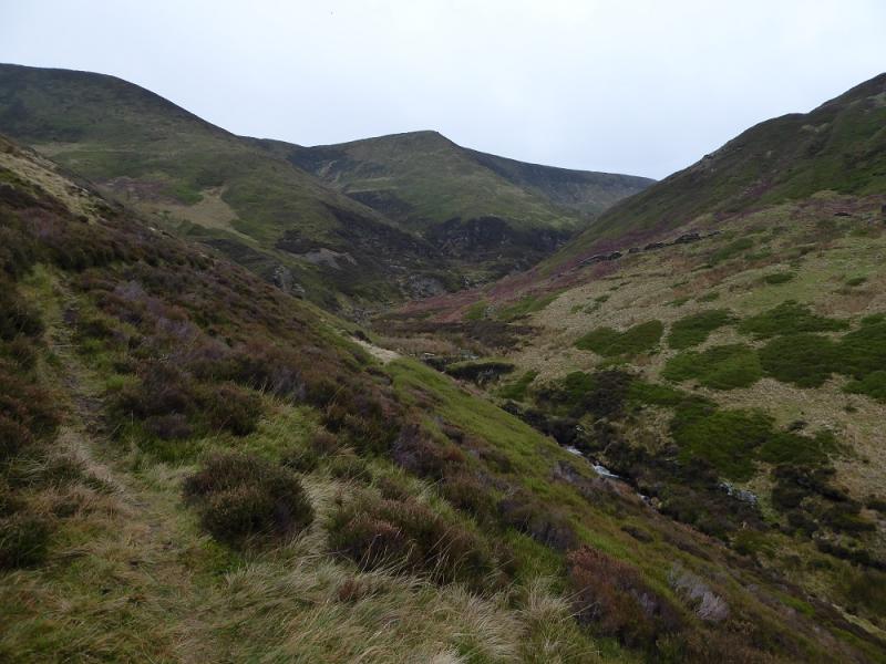
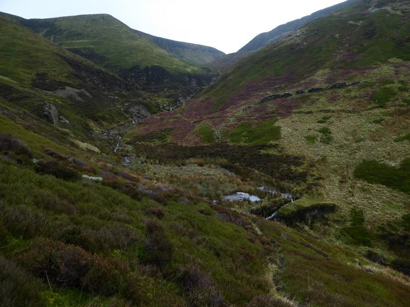
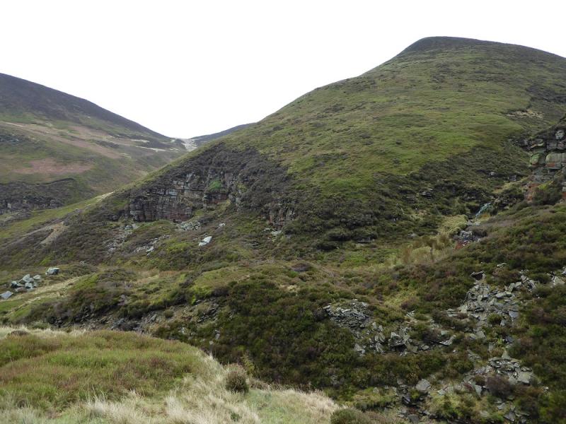
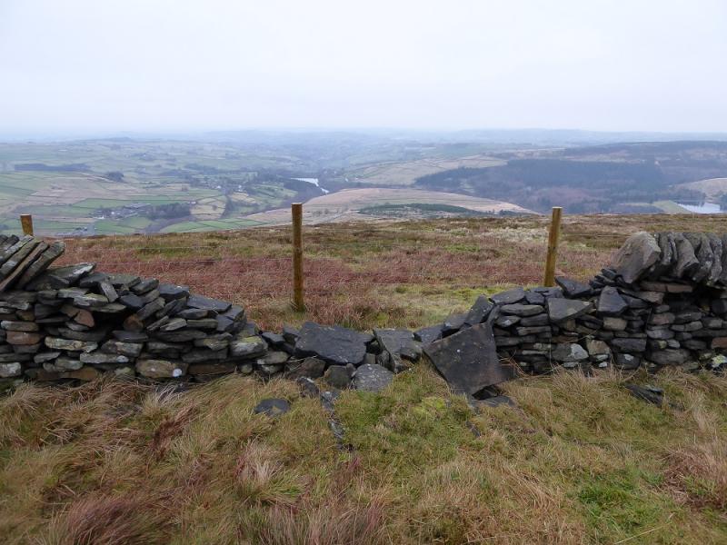
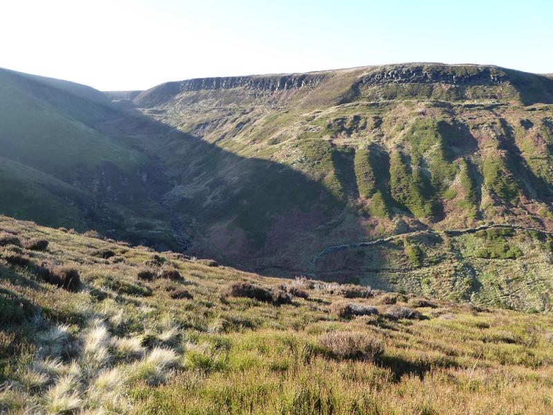
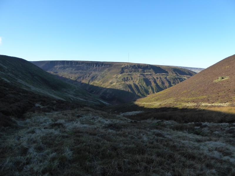
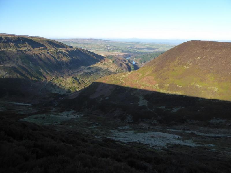
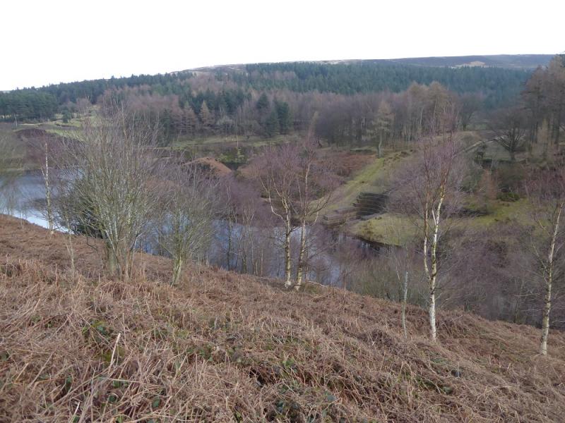
Some people say that Ramsden Clough is the finest in the Peak District area and it is hard to disagree with that. In some ways it resembles a rough highland glen. In places, it is rough and loose. In summer, bracken will be a major irritation and the route is not really appropriate after heavy rain. Despite the recent Right to Roam legislation, there are notices trying to keep the public out of parts of this route. On a clear day, there are good views towards Black Hill and Holmfirth.
Route
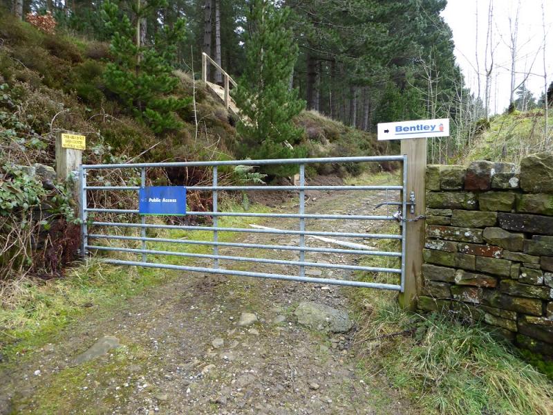
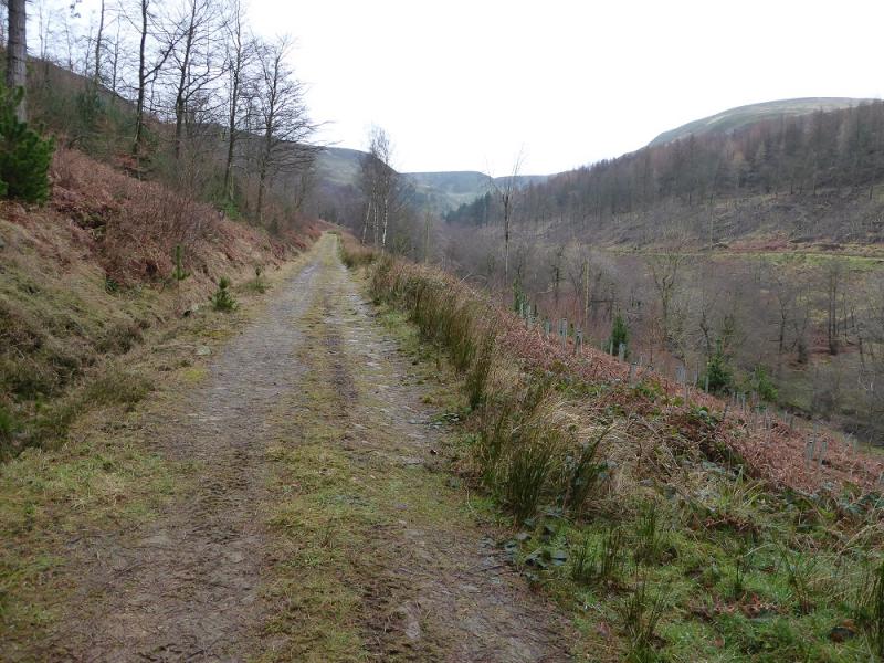
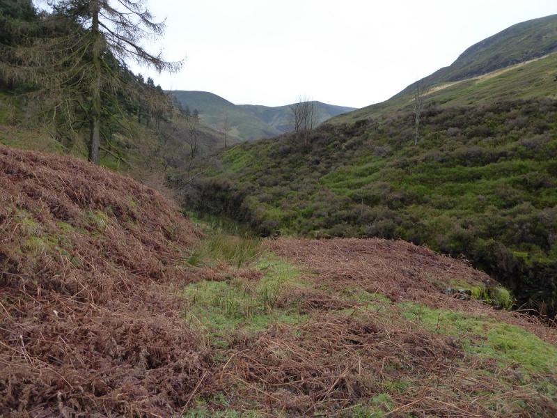
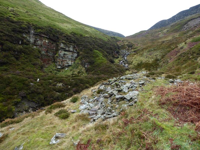
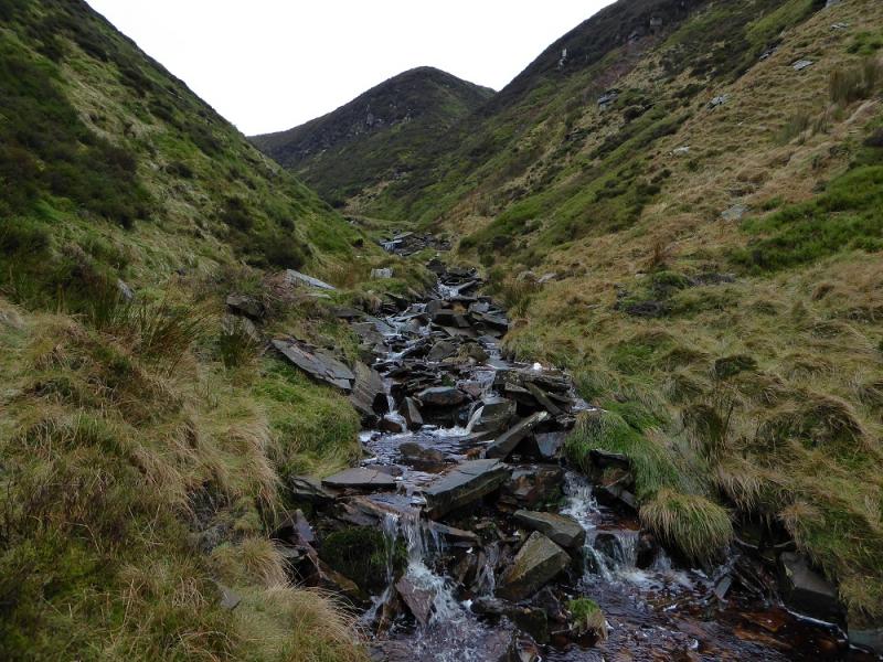
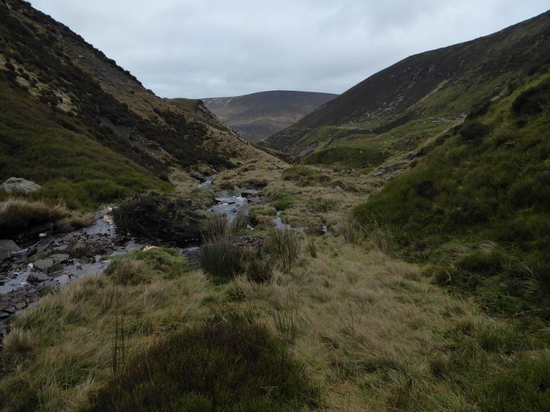
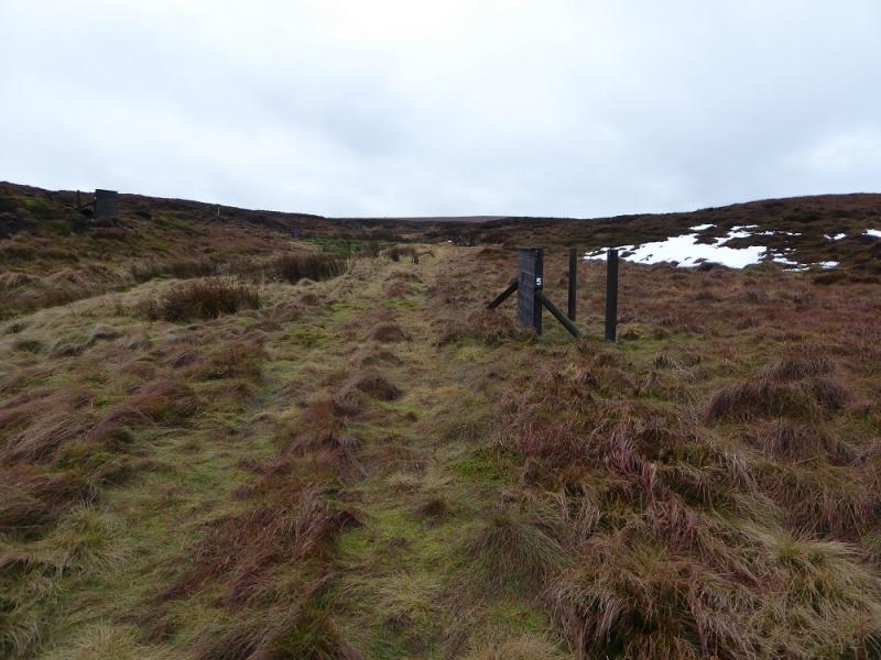
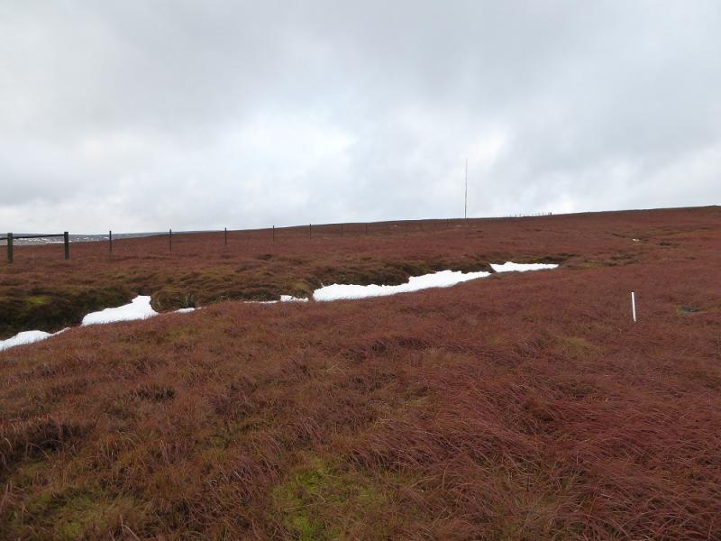
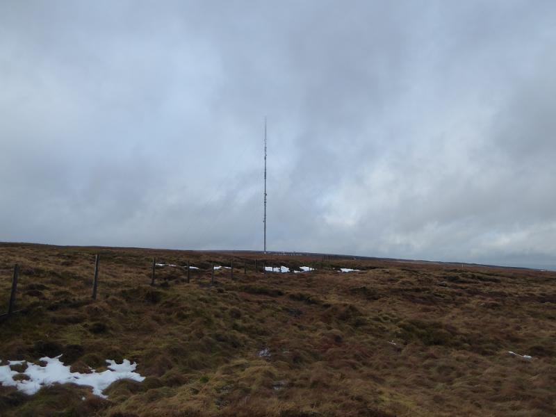
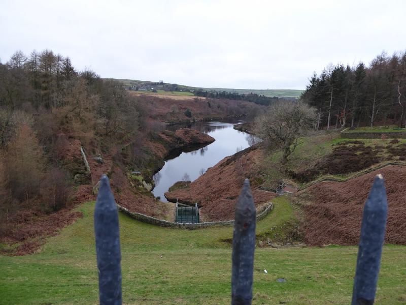
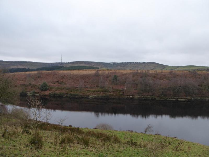
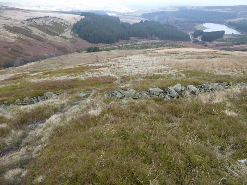
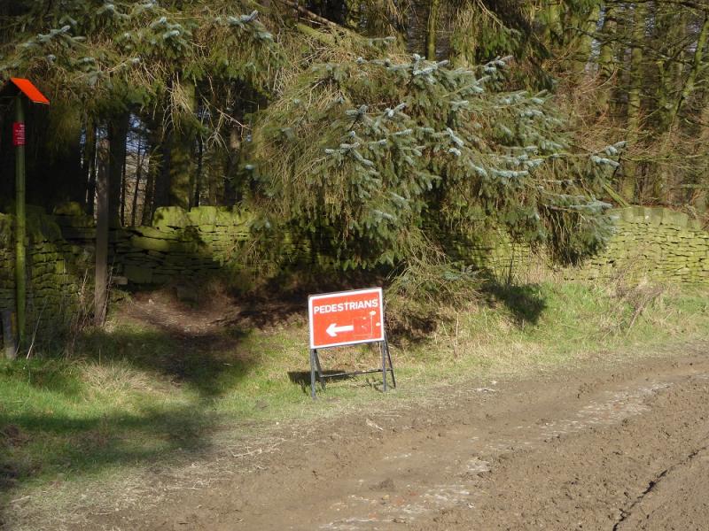
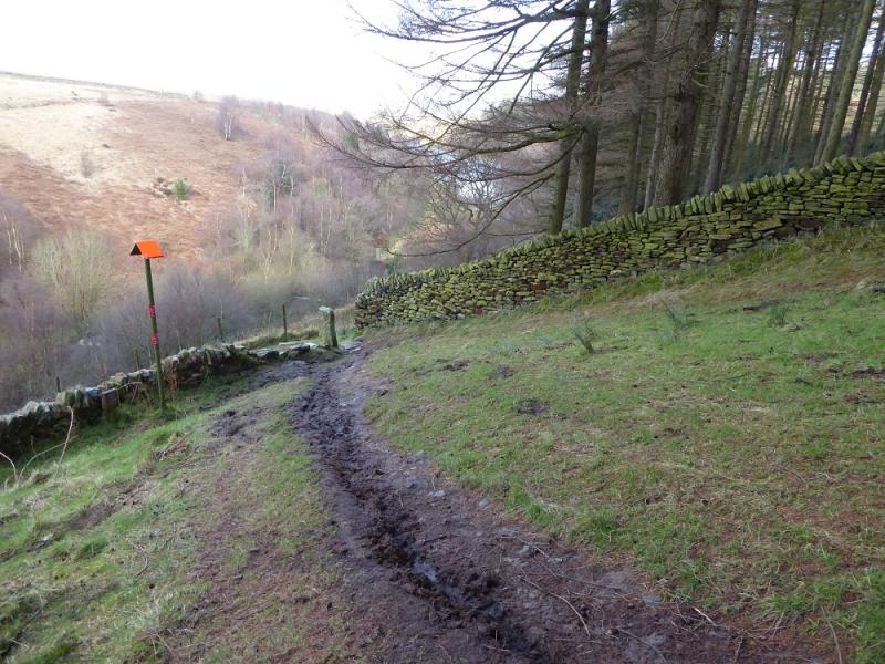
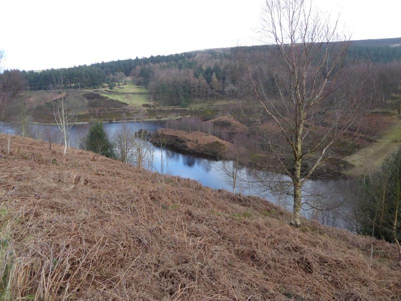
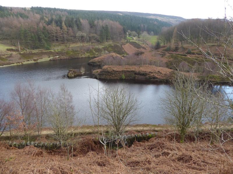
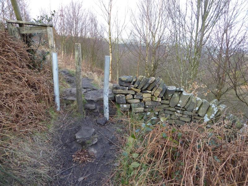
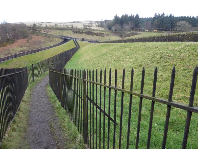
(1) Walk up the lane (a continuation of the road) to where it goes right between Ramsden and Riding Wood Reservoir. A track goes ahead but the gate is locked and there are conflicting notices about access. Climb over the gate and follow the track to its end then continue on a footpath into Ramsden Clough which is now quite steep sided. Just before the clough bends around to the right, descend to the stream by a faint path then follow the main stream up the clough. Here and there is an occasional path but the going can be rough and loose so be careful if going up the sides of the clough. Eventually, the stream climbs out of the steep sided clough onto almost level ground. Continue following the stream to reach some grouse boards. Stay on the N side (stream on the left) where there is a boggy ATV track. Follow this. In clear weather, Holme Moss mast will soon be seen. Stay with the track until it goes left just before a fence. Leave the track here and follow the fence, going right and uphill. There is a faint path close to the fence. Further on, this becomes more distinct and leads towards the mast and emerges, after two gates, at the new car park near the summit of the Holme Moss road. There are plenty of large rocks to sit on for lunch!
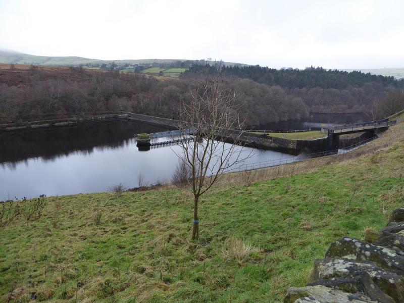
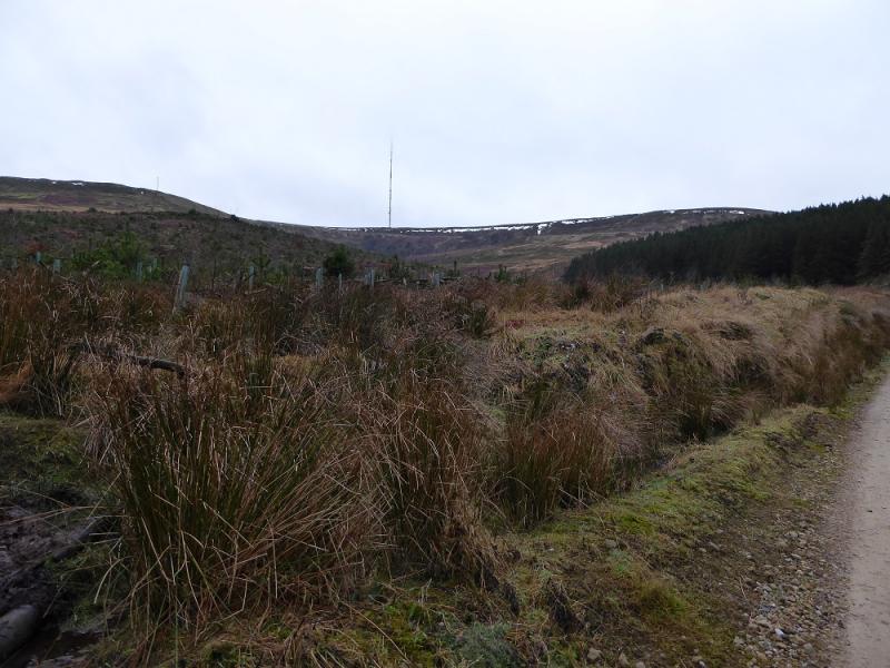
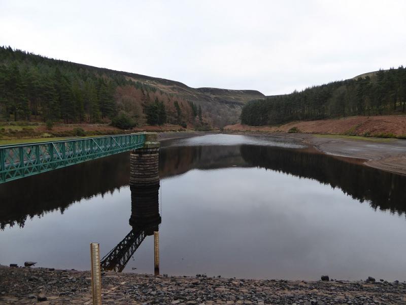
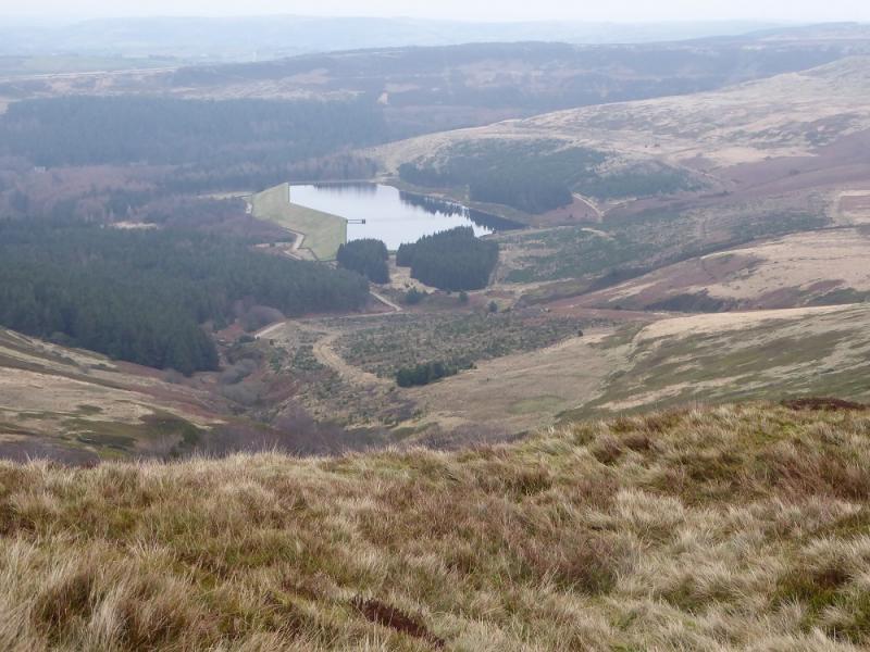
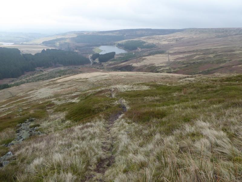
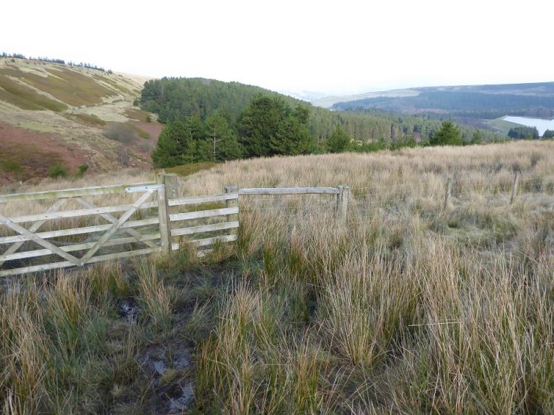
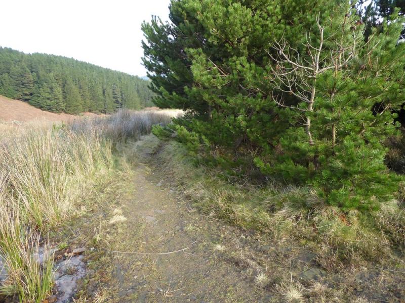
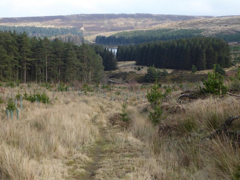
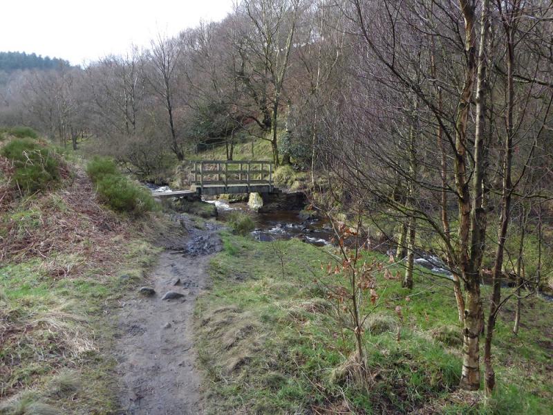
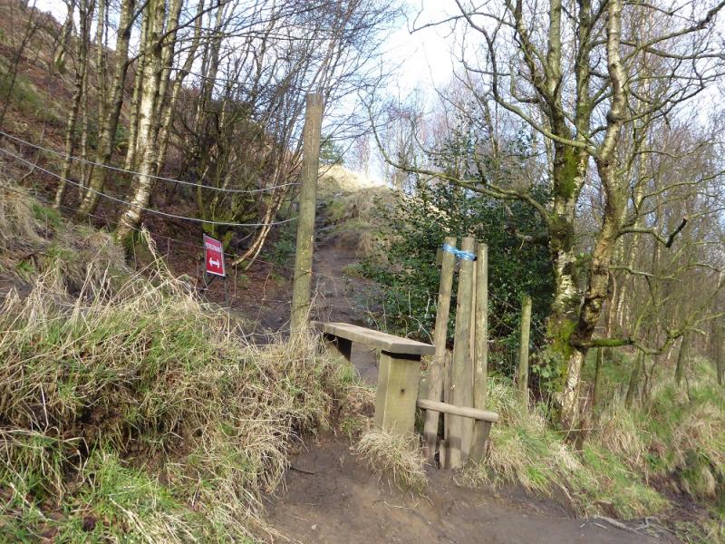
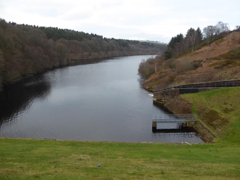
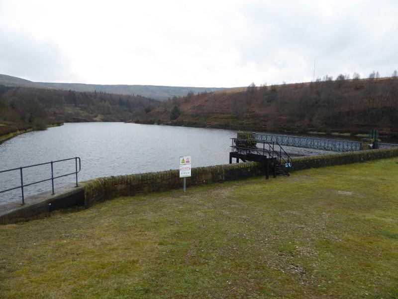
(2) Descend downhill from the car park staying to the left of the obvious fence. Do not cross this fence but follow it down then left to reach a narrow gate and metal gate. Go through and follow the path down towards the new plantation. The path goes to the left of this new plantation where the tallest trees are. A rough track starts by the trees and leads down to the rough road through Holme Woods. Turn right on to the road and follow it past Yateholme Reservoir. Soon after this, there is a not very obvious sign post and stone stile on the left. Cross over and follow the path, level then down, to a bridge over a stream. Cross over and continue on the other side and soon be above Ramsden Reservoir. When the path splits take the left fork and soon pass through a wall above the dam. Continue, taking the right fork, going past the dam before a path cuts back and crosses the dam to reach the road. Turn right and reach the car park within 100 m.
Notes
(a) This walk took place on 18th January, 2017.
(b) An alternative to taking the path after Yateholme Reservoir is to stay on the track which goes across Riding Wood Reservoir Dam then back to the start. This track will be closed from about February 2017 until about March 2017.
(c) There are some other interesting edge walks in this area which are worthy of further exploration.
Photos - Hover over photo for caption. Click on to enlarge. Click on again to reduce.