Get Lost Mountaineering
You are here: Scotland » 04 Loch Leven and Loch Linnhe to Loch Ericht » Mamores to Corrour
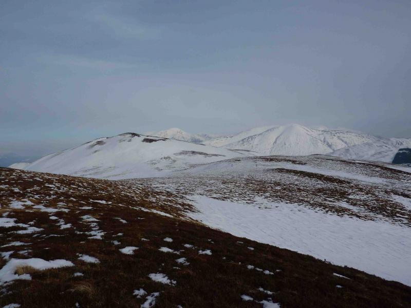
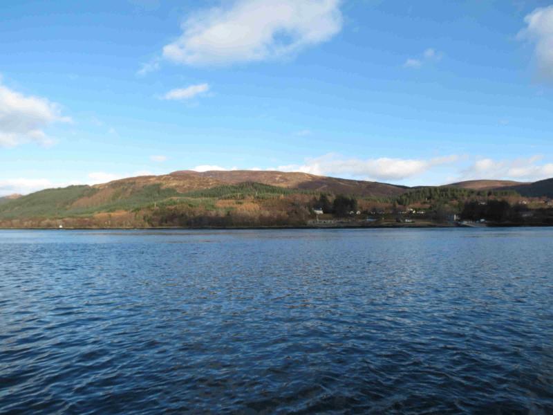
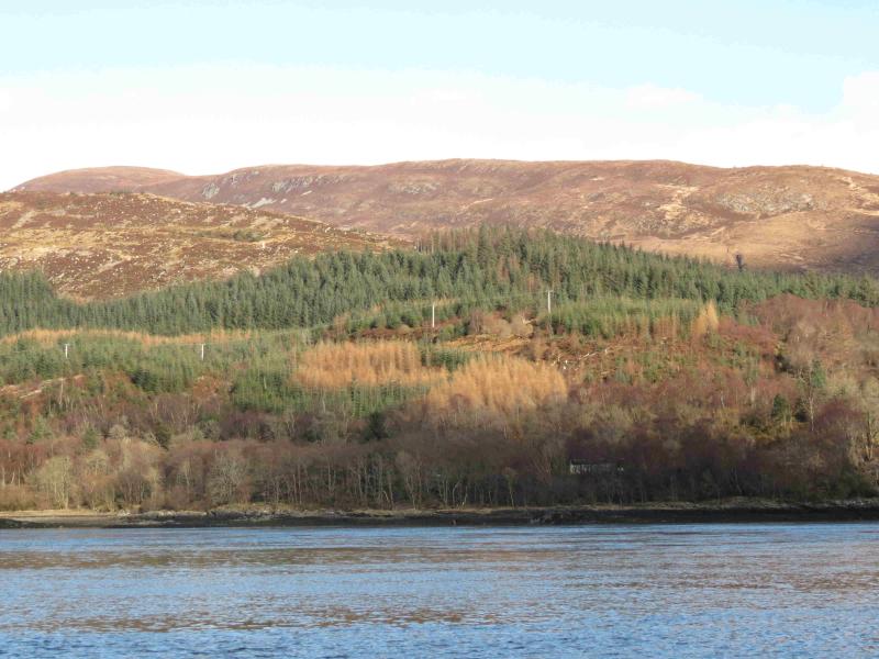
Beinn na Gucaig
Beinn na Gucaig from Inchree
Start/Finish
Inchree Forest Trail car park near Onich, N of Ballachulish on the A82.
Distance/Time
11 km Approx 4½ hours
Peaks
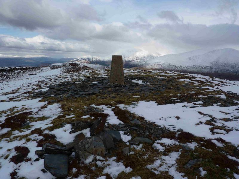
Beinn na Gucaig, 616 m, NN 062 653. OS sheet 41
Introduction
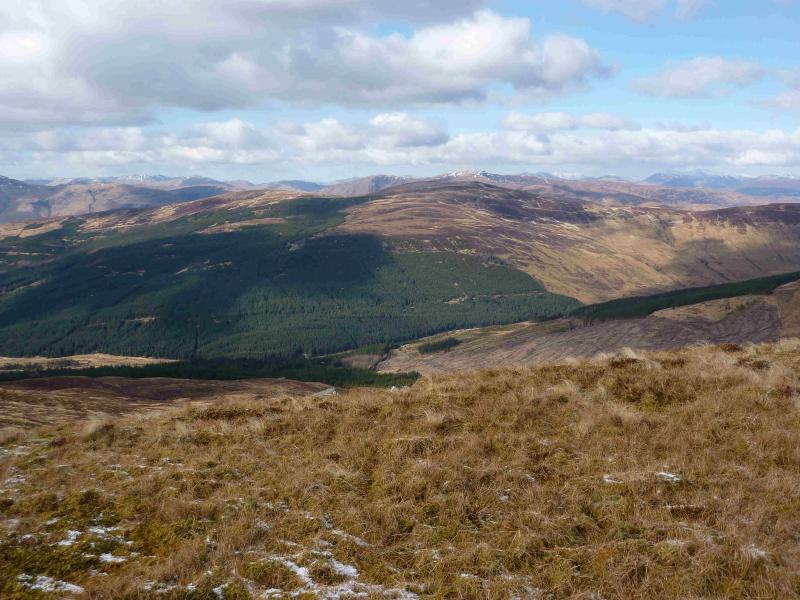
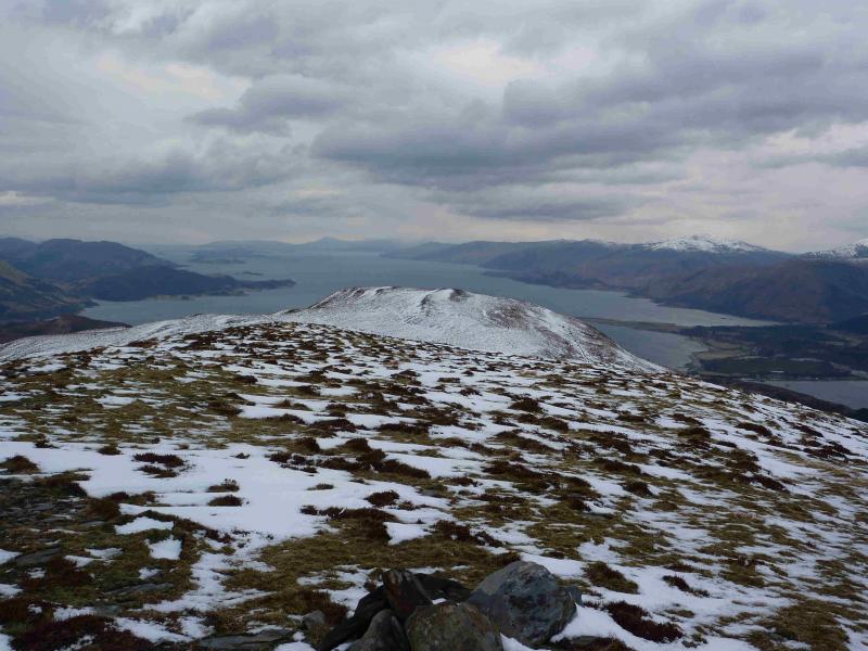
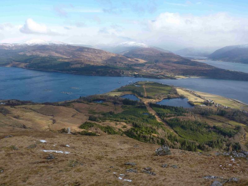
A pleasant half-day which includes a waterfall walk and fine views across Loch Linnhe on the descent as well as close up views of the Mamores.
Route
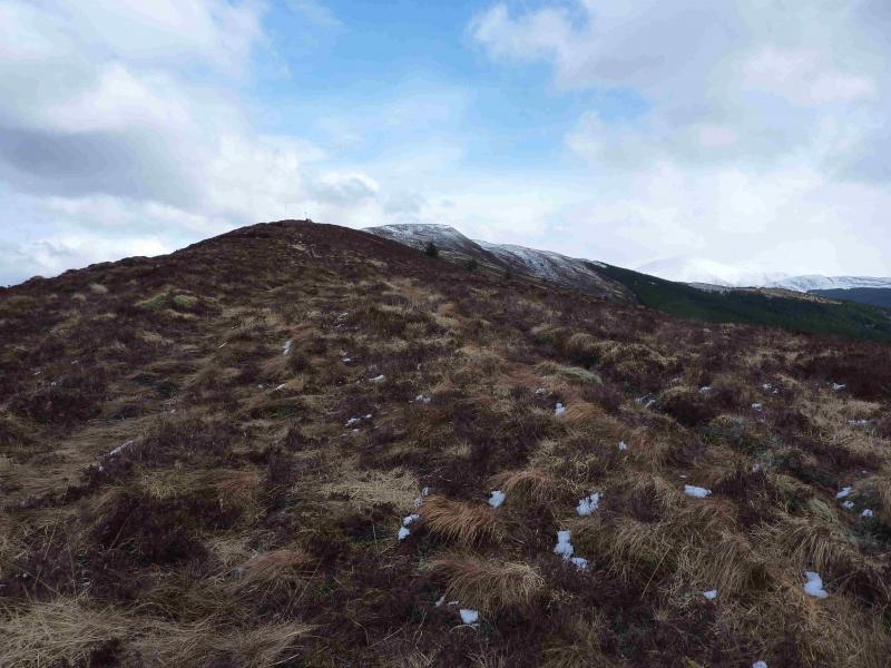
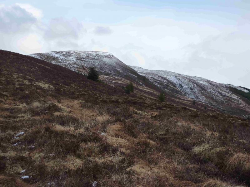
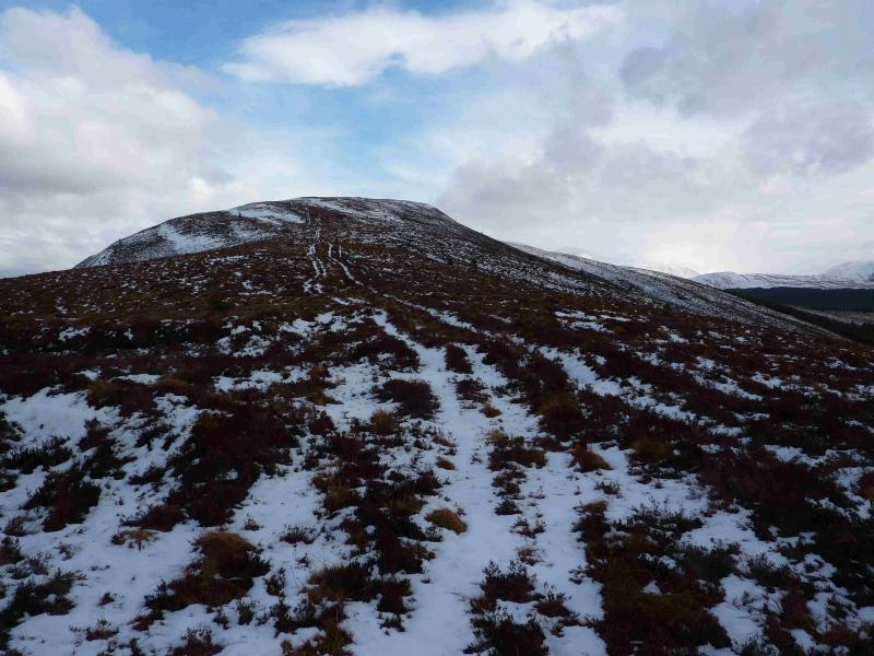
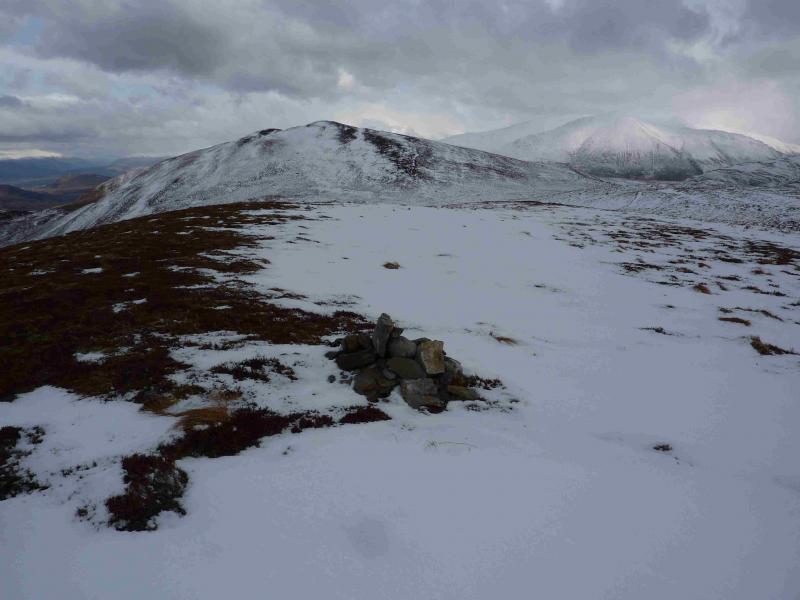
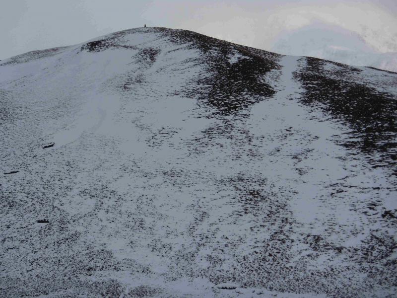
(1) From the car park, follow the way marked trail past a series of waterfalls which are very impressive after rain.. Continue until a forest track is reached just below a crag (to the right). Either go across rough ground for a short distance – straight on – heading for the ridge climbing NE. There is a faint path through the long grass. When the ridge is reached there is an obvious ATV track, in surprisingly good condition, which ascends the ridge. Alternatively, descend the forest track (left) for a short distance to reach the bottom of the ATV track. Ascend the ATV track which is distinct most of the way up the ridge which is mainly grassy and quite well defined. A small metal structure is passed higher up before reaching a small but obvious cairn at Pt 575 at NN 056 648. In clear weather the continuation is obvious. In mist take a bearing, direct for the summit (approximately NE). A grassy bealach is crossed with a fence running through it. The fence can be crossed or followed SE to a gate near the edge of the forest. Once on the uphill side of the gate, stand with your back to the gate, the uphill route straight ahead leads to the small summit plateau to reach the summit trig point of Beinn na Gucaig, 616 m.
(2) Retrace the route of ascent and follow the forest track or descend ESE to reach either of the 2 tracks in Gleann Righ which both lead back to the start
Notes
(a) This walk took place on 19th November, 2009, 3rd March, 2010 and 19th. March, 2013.
(b) A full day walk (not yet fully checked out) can be created by taking the forest track to Gleann Sealach then crossing the river (difficult in spate), ascending Beinn an Aonaich Mhoir, Tom Meadhoin and Doire Ban to reach the head of Gleann Righ. From there ascend to Beinn na Gucaig and descend its SW ridge as above.
(c) To ascend without visiting the waterfalls. Walk out of the back of the car park on a way marked path. Walk 2 sections of path, crossing the main forestry track once. After the second section, turn right (uphill) onto the main forestry track. Cross a bridge and pass a “dripping cliff” on the left before reaching the start of the ATV track.
Photos - Hover over photo for caption. Click on to enlarge. Click on again to reduce.