Get Lost Mountaineering
You are here: England » North Yorks Moors & Coast
Round Hill, White Hill & Cold Moor Anti-clockwise from Chop Gate
Round Hill, White Hill & Cold Moor Anti-clockwise from Chop Gate
Start/Finish
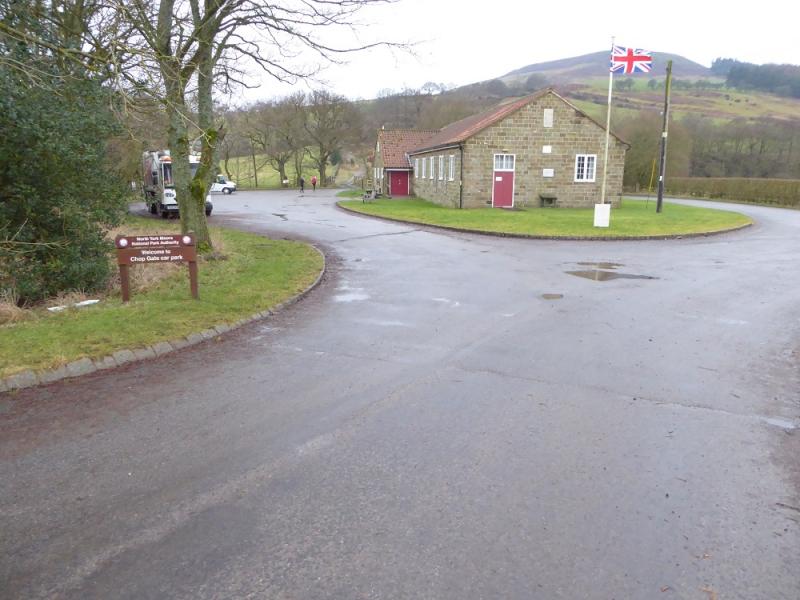
Chop Gate Village Hall car park which has toilets and charges £1 to park. Chop Gate village is on the B1257 from Stokesley to Helmsley. The car park is on the southern end of the village.
Distance/Time
14 km. About 5 – 6 hours.
Peaks
Round Hill, 454 m, NZ 594 016.
White Hill/Hasty Bank, 398 m, NZ 564 037.
Cold Moor N Top, 402 m, NZ 551 035.
OL 26, 1:25 000, North Yorks Moors Western Area.
Introduction
The North Yorkshire Moors covers a large area and is mainly moorland, ridges and a few distinctive peaks. Round Hill, sometimes called Urra Moor, is the highest point in the North Yorks Moors. Much of this route is on good tracks or paths apart from the final descent down Cold Moor Lane back to Chop Gate which is very muddy. On a clear day, there are good views to Roseberry Topping, Captain Cook's Monument and beyond.
Route
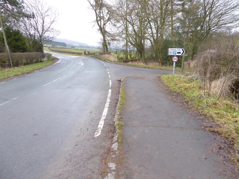
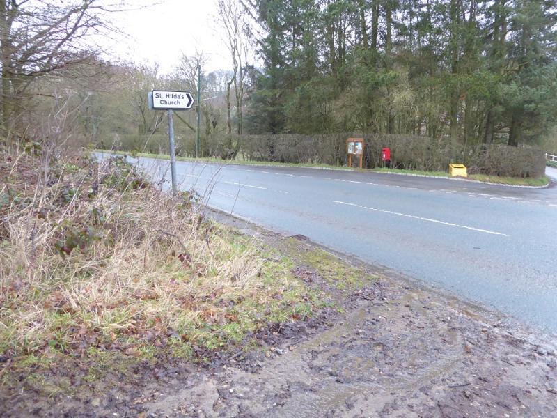
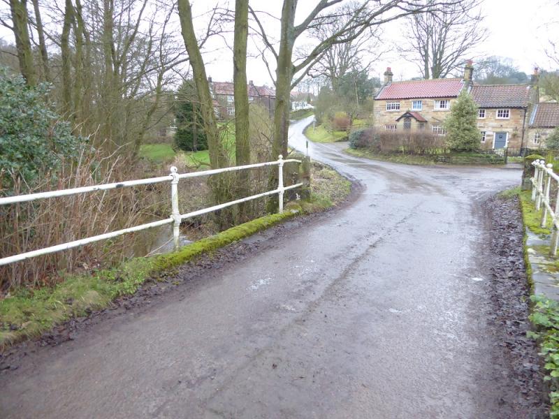
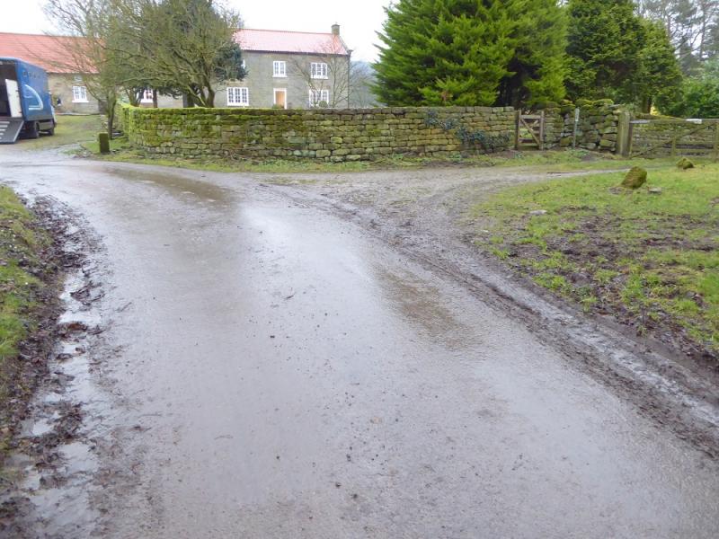
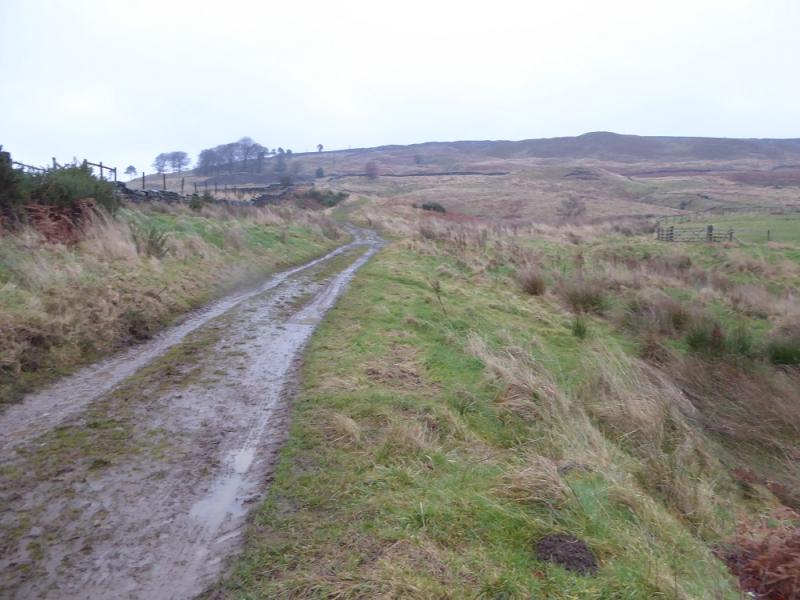
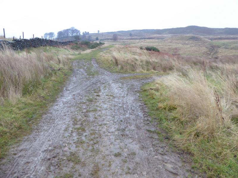
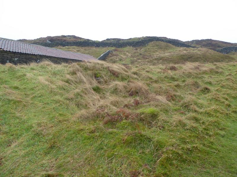
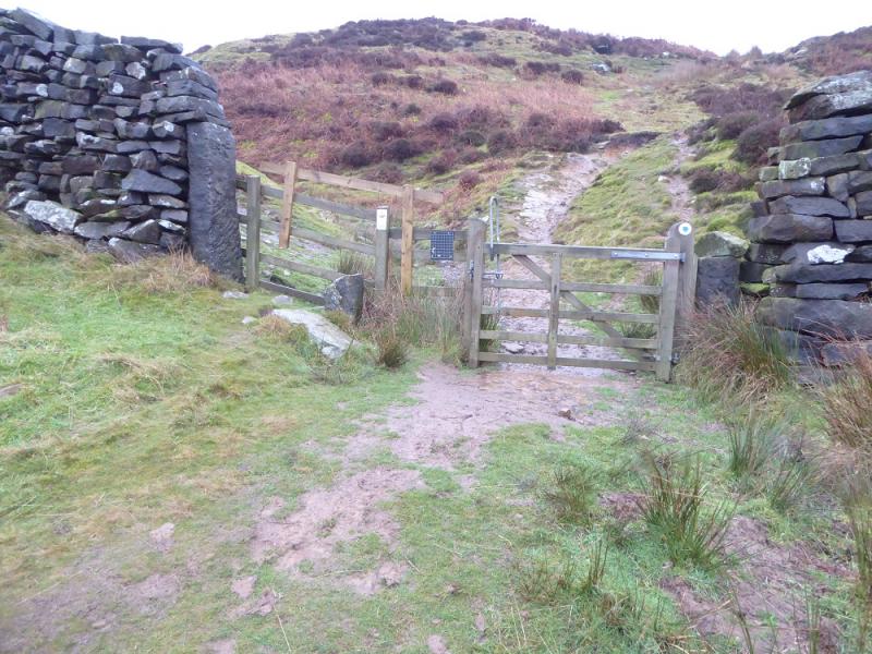
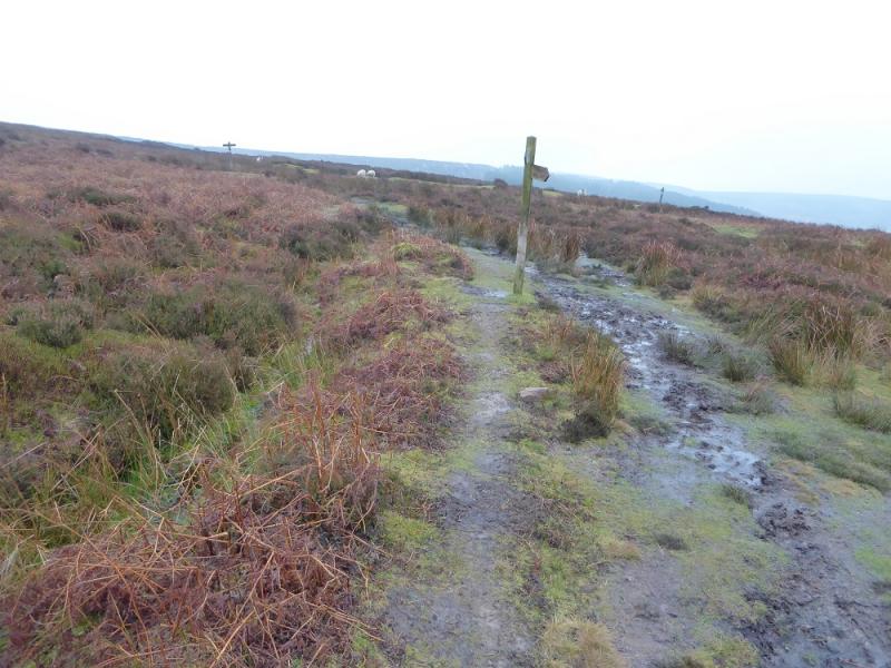
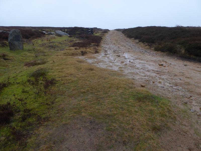
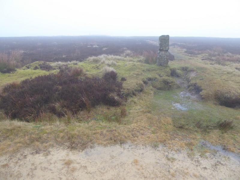
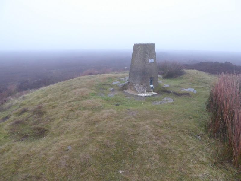
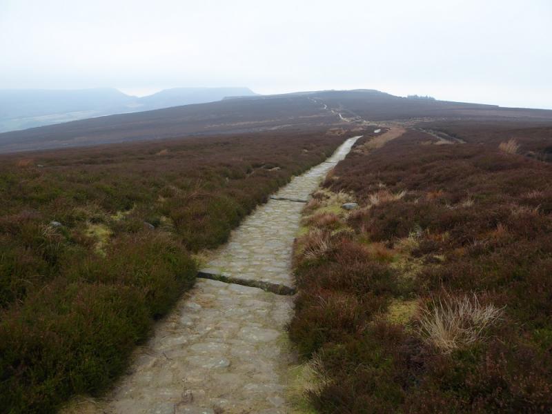
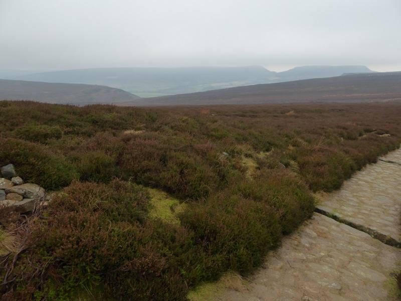
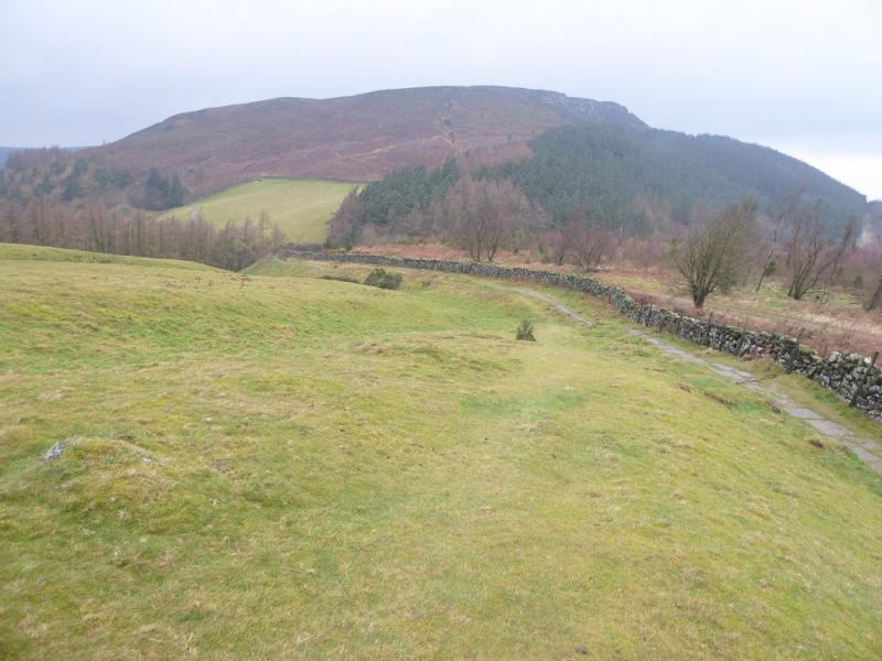
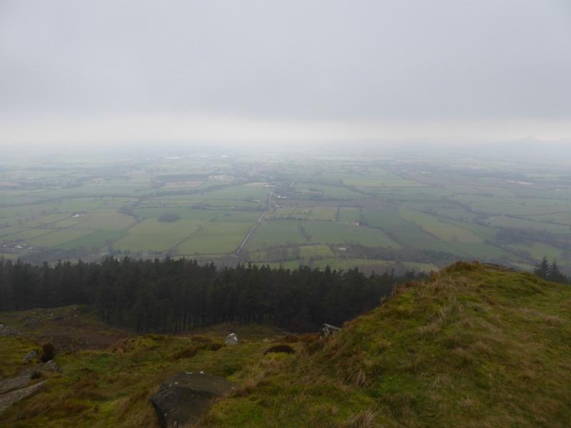
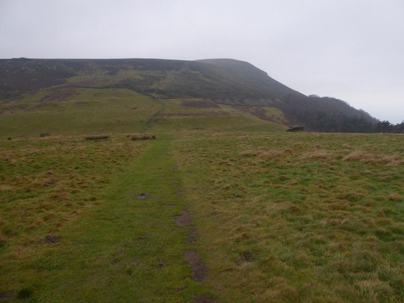
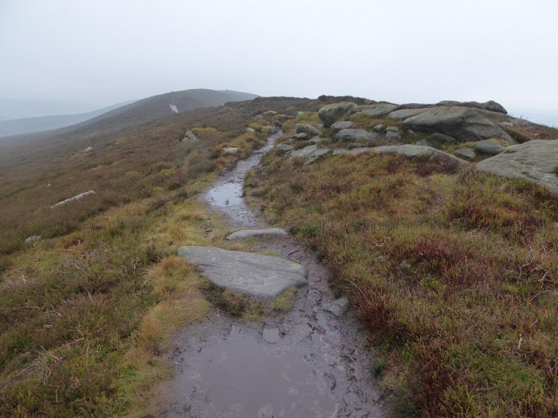
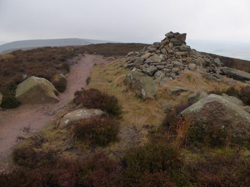
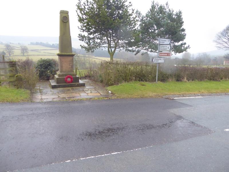
(1) Come out of the car park and turn left, N, up the main road. Go through the village. Note the War Memorial past the school on the opposite side of the road as this is where the route returns to. Continue up the road to the first turning on the right signed for St. Hilda's Church. Follow the minor road over a bridge then left and up a steep hill to a left handed corner. Go right here and join a track. Follow this, ignoring any footpaths off it. Further on, the track splits. Take the left fork (straight on) which follows the wall and ascends to the old mine workings where there is a building. Just past here is a gate where the path splits into three. Take the right hand option and ascend up to where there is a triangle of sign posts. Continue ahead, past the highest sign post, and ascend up to the more level section where a wide track is met on a corner. Take the track going roughly NE and pass several grouse butts. Continue, passing a track off to the right then, soon after, join a track coming from the left. Turn right. At a boundary stone, take a path left and follow it to the trig point which marks the summit of Round Hill, 454 m. The trig point is normally visible from the boundary stone.
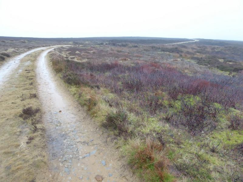
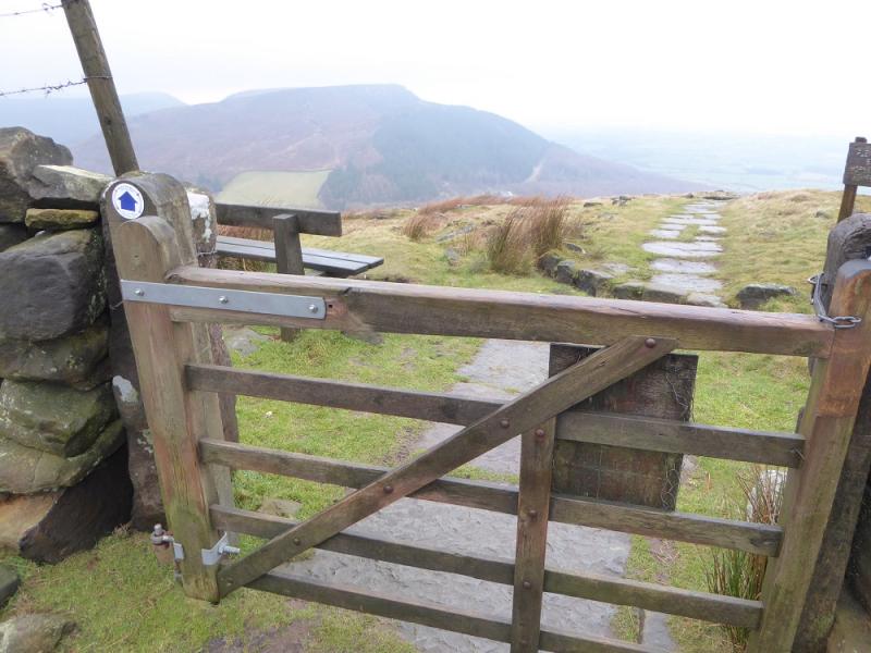
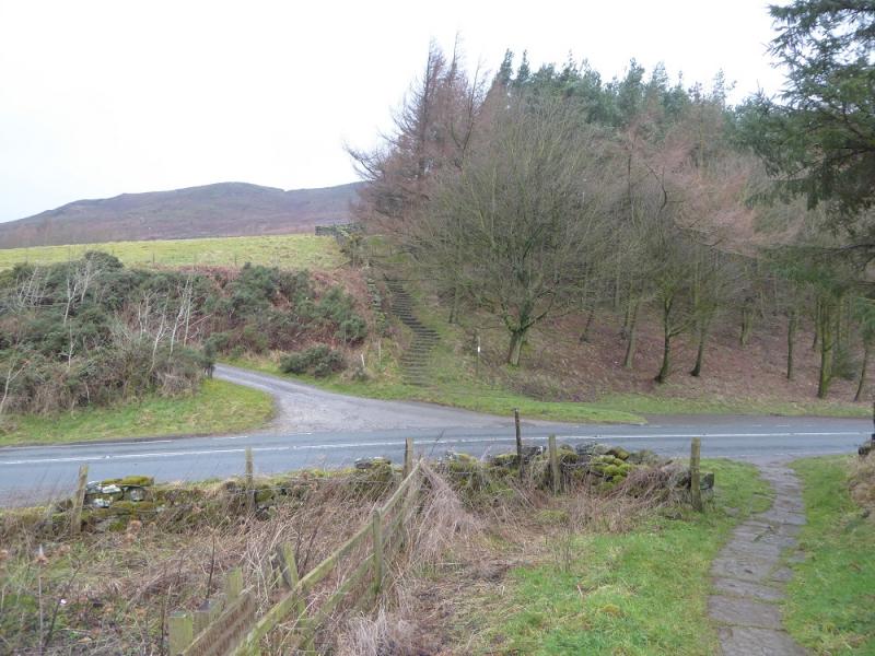
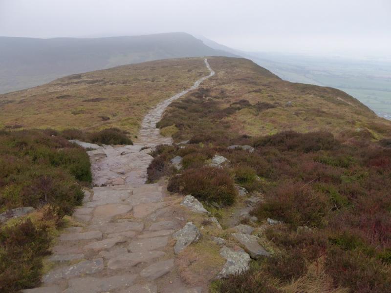
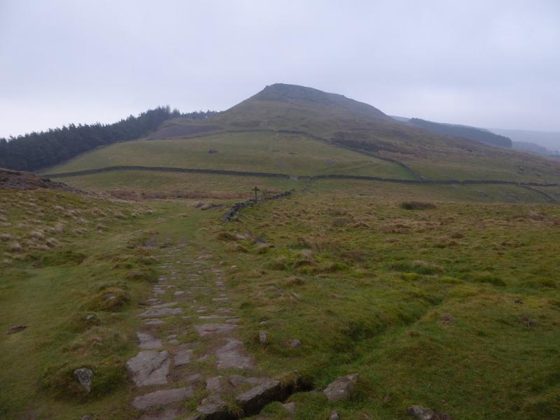
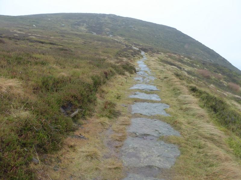
(2) Retrace to the track then back to the junction but continue ahead on the Cleveland Way. Eventually, the track becomes a path and is easily followed to Carr Ridge. After a gate, the path descends steeply to the road. Cross over and ascend the obvious steps, still on the Cleveland Way. This leads steeply up White Hill before the gradient eases and one emerges on the almost level crest. There is no cairn but the highest point is White Hill/Hasty Bank, 398 m.
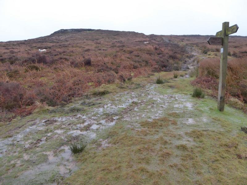
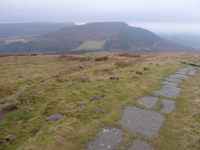
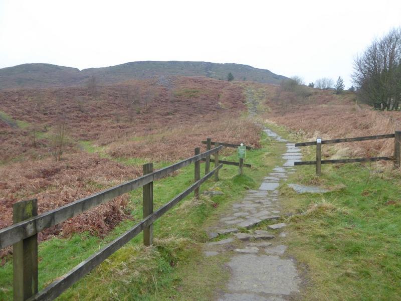
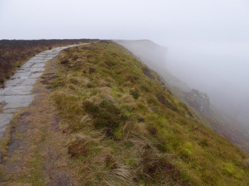
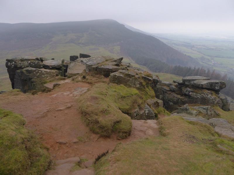
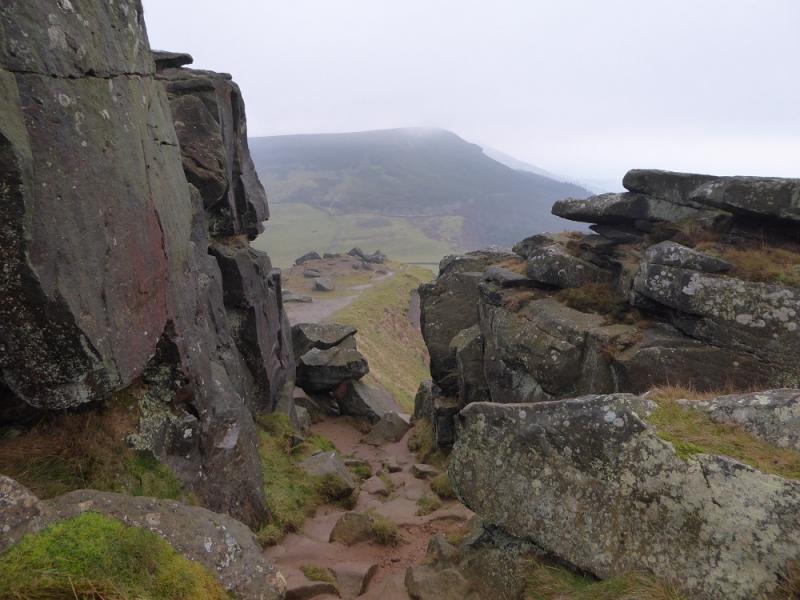
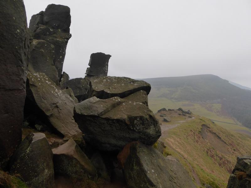
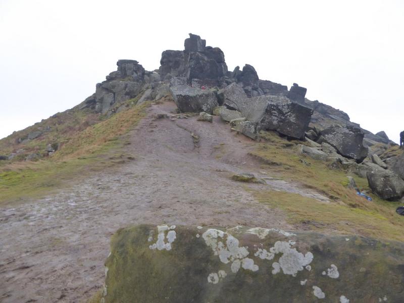
(3) Continue along the crest and start descending the W ridge. Soon a very significant rocky outcrop is reached. The path picks its way through this and care will be needed although it is nowhere near a scramble. Once through the rocks, continue down to the col known as Garfit Gap. Continue up the other side, still on the Cleveland Way to reach the highest point which is Cold Moor N Top, 402 m. This is not actually named on the map.
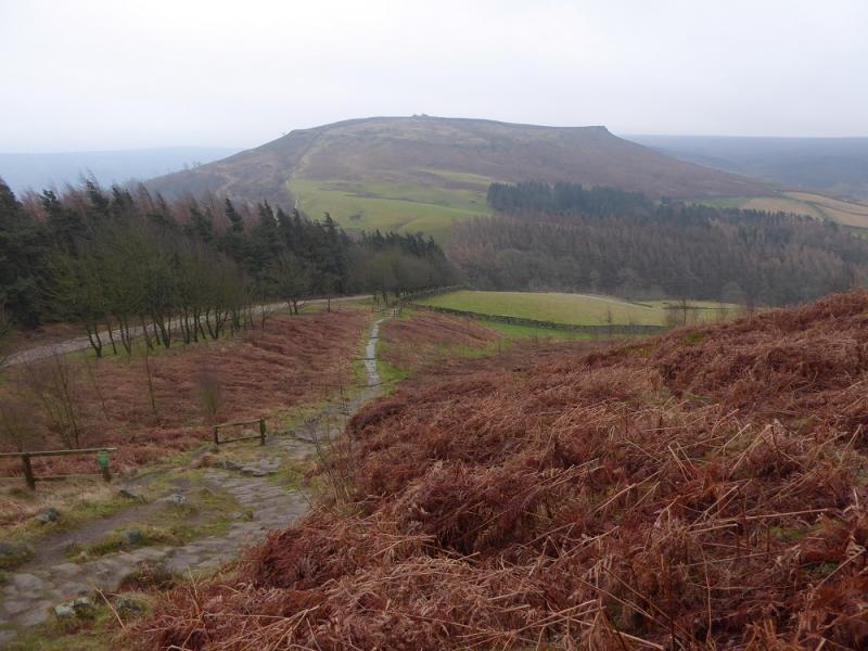
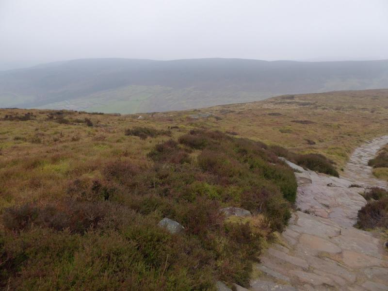
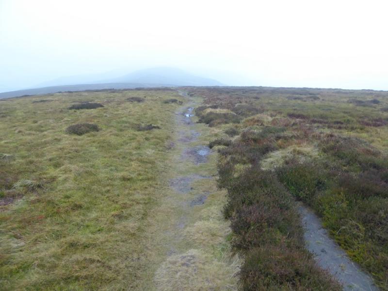
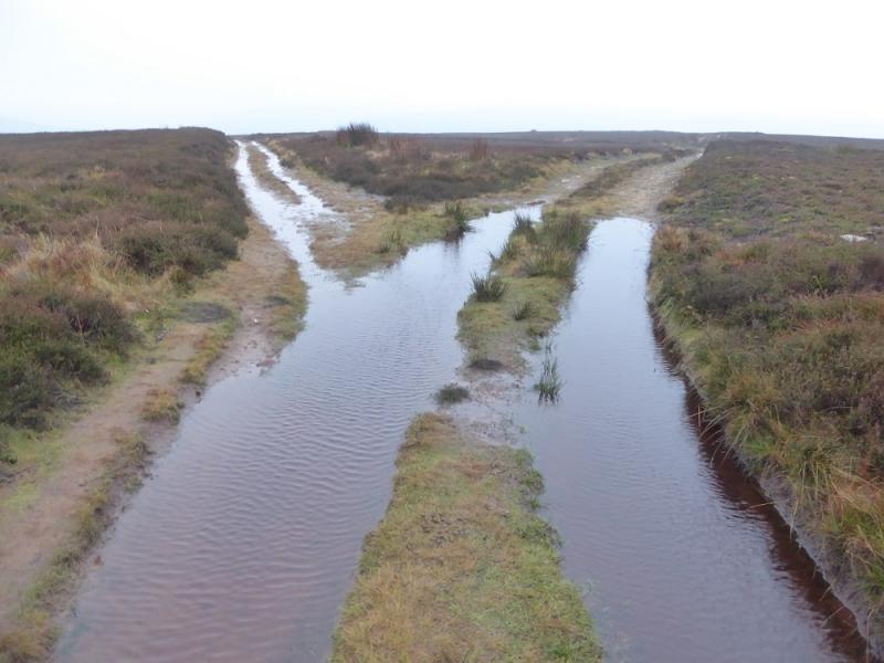
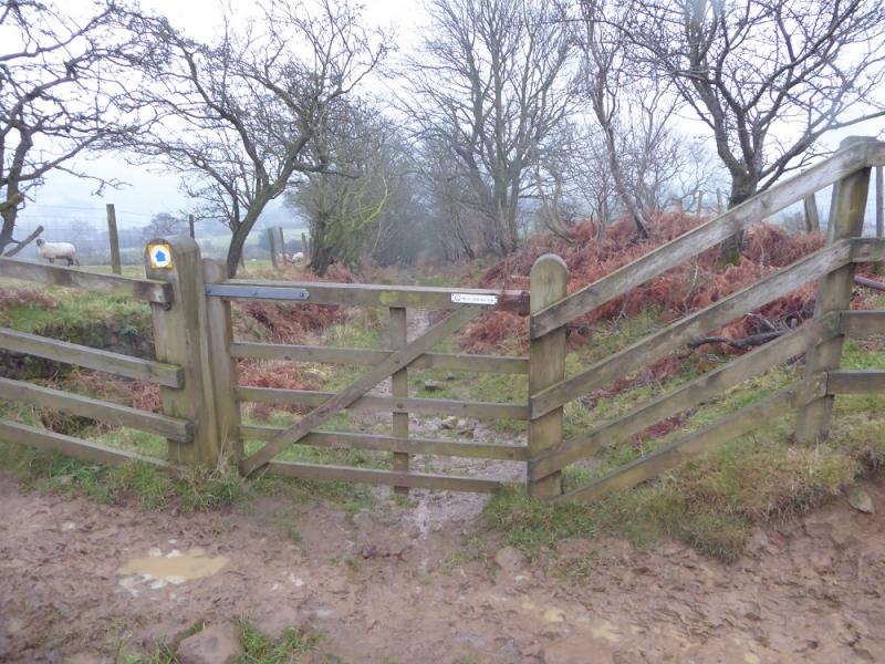
(4) Take the path going S from the highest point. This can be boggy in places. Pass a large cairn then go through a line of stone grouse butts crossing the ridge. Pass a crossroads of tracks. Continue onto the next top which is long and level. The track will split along here so take the left fork which leaves the crest and descends roughly SSE. Lower down, the track becomes muddy with sticky clay before becoming a path. Continue past an obvious conifer wood then take the left fork by the wall when the path/track splits. Continue down and pass through two gates in quick succession to join the top of Cold Moor Lane. Follow this, often very boggy lane, down to a minor road. Turn left and immediately join the main road opposite the memorial. Turn right, S, and walk back to the car park.
Notes
(a) This walk took place on 2nd February, 2017.
Photos - Hover over photo for caption. Click on to enlarge. Click on again to reduce.