Get Lost Mountaineering
You are here: England » Peak District » Kinder, Mam Tor ridge, Rushup Edge, Brown Knoll & Win Hill from Edale
Brown Knoll, Edale Cross, Kinder Low & Crowden Tower from near Barber Booth
Brown Knoll, Edale Cross, Kinder Low & Crowden Tower
from near Barber Booth
Start/Finish
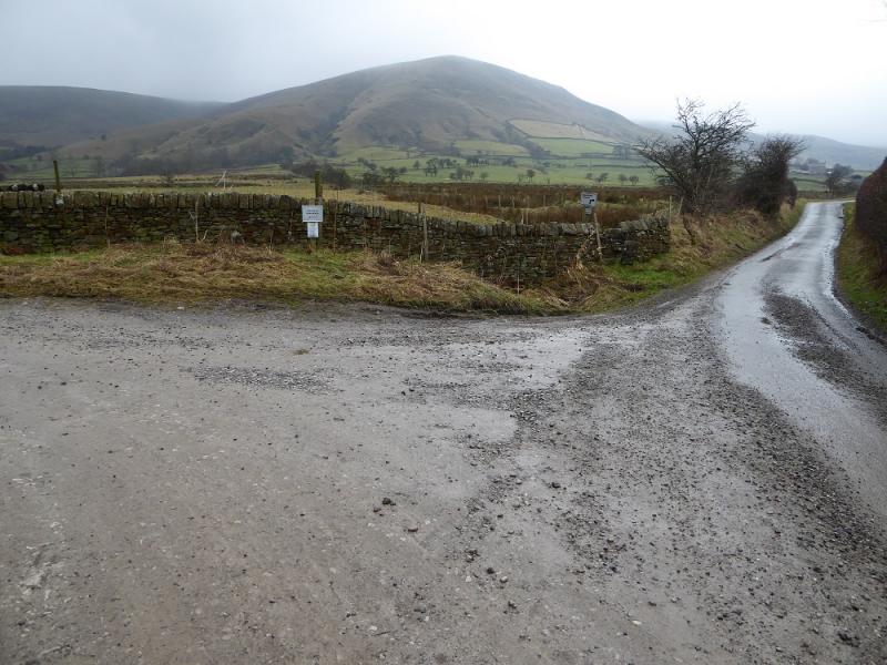
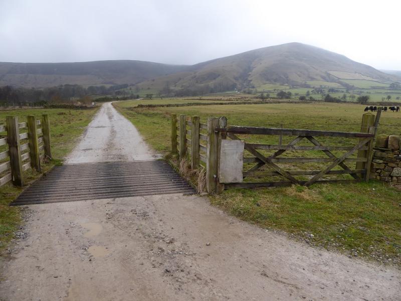
Upper Booth parking spot (holds about 15 cars) which is about a mile west of Edale village car park which, coming from Hope, is on the Edale road just before the turn off to Edale village. The turn off for Edale from Hope, from The Hathersage to Castleton road, A625, is not that obvious and easy to miss. It is a right turn opposite a chuch on the left on the eastern end of Hope. Upper Booth is a signed right turn just before the Edale valley road starts climbing towards Mam Tor. The road is narrow with few passing places. There is also some parking further back from the main parking spot under the obvious viaduct. Both spots are free to park at. There are toilets in the Edale village car park.
Distance/Time
13 km. About 4 – 5 hours.
Peaks
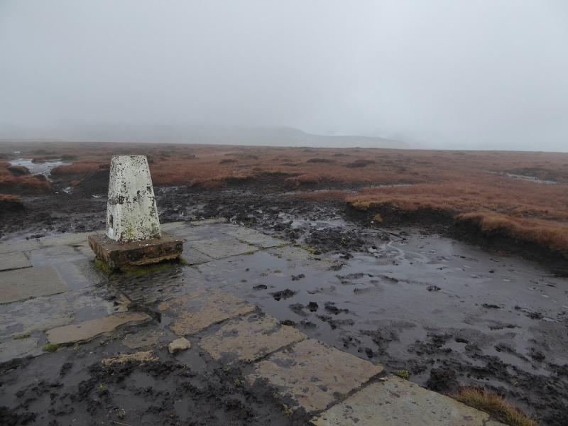
Brown Knoll, 569 m, SK 083 851.
Kinder Low, 633 m, SK 079 870.
OS 110: Sheffield |& Huddersfield. OS Outdoor Leisure 1: Dark Peak
Introduction
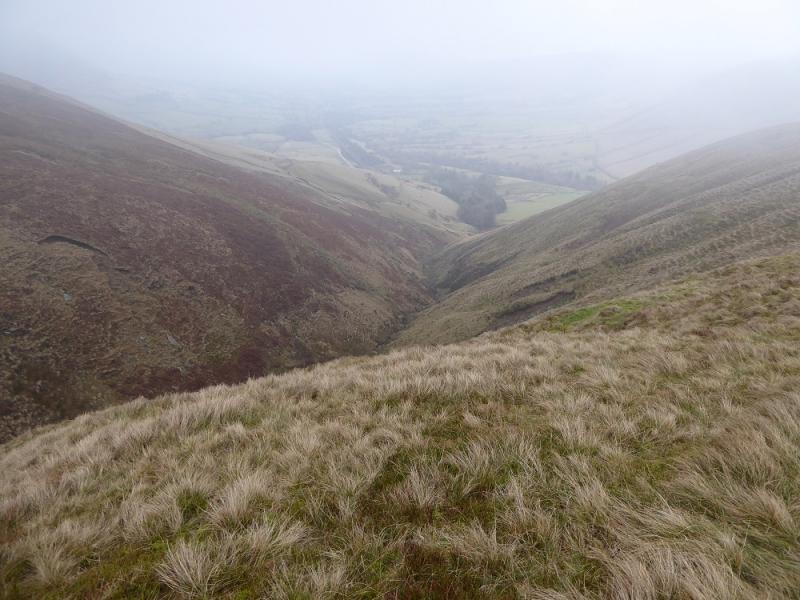
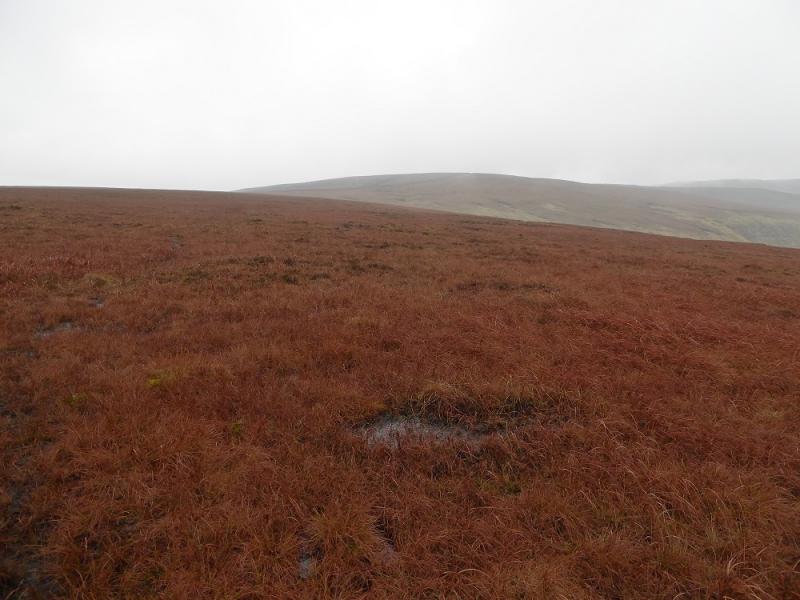
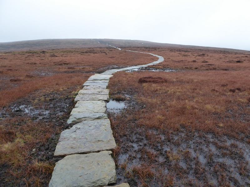
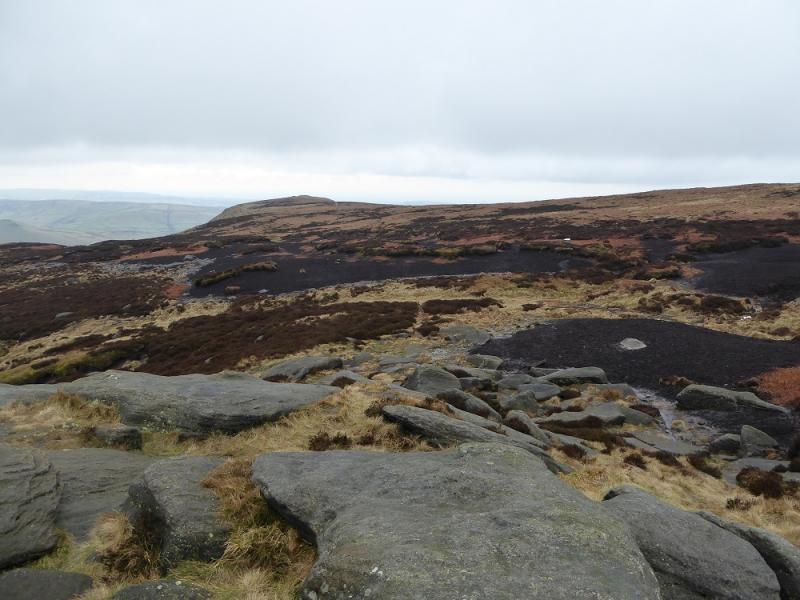
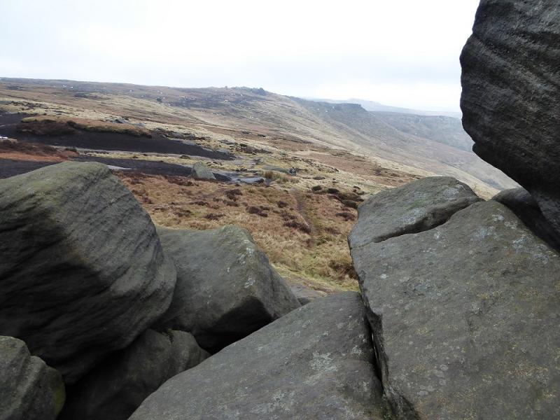
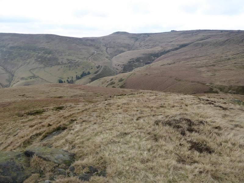
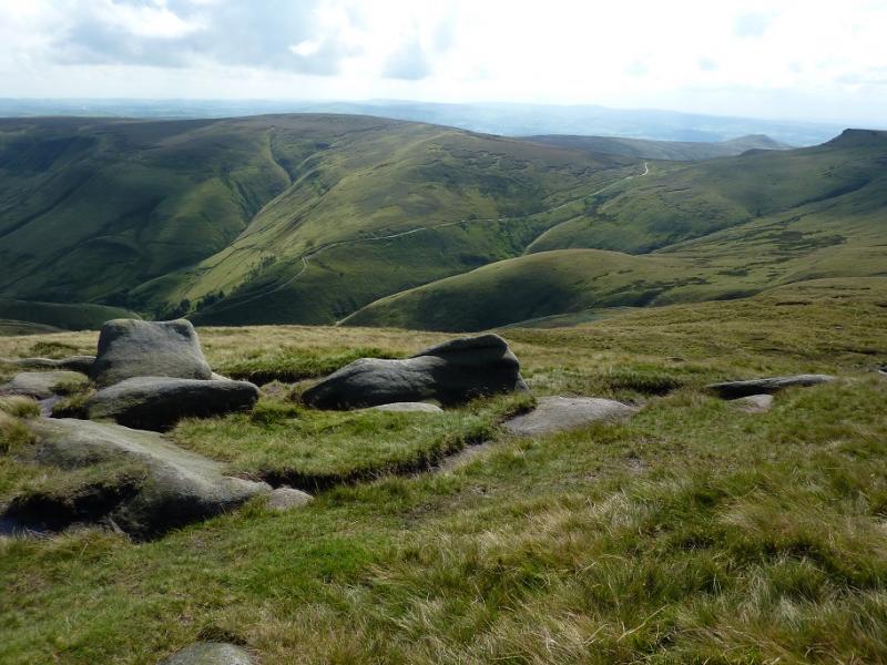
This is a very pleasant walk around the head of the Edale Valley. There are good views across the valley and beyond. On the southern edge of the Kinder plateau are numerous rocky outcrops which add to the landscape. The very boggy path over Brown Knoll has now been slabbed. The path up from Dalehead is quite steep in places.
Route
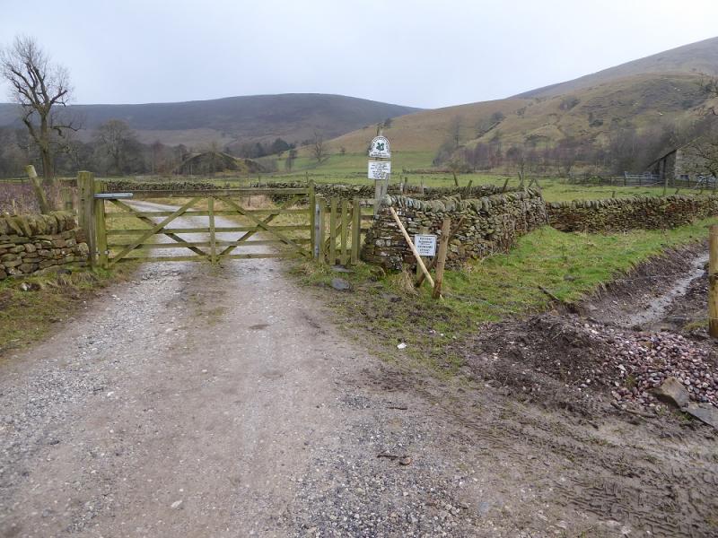
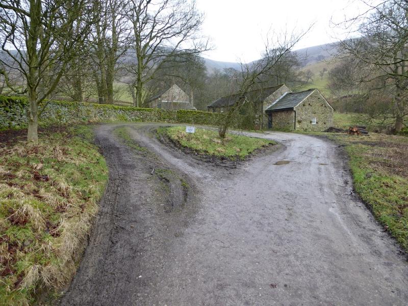
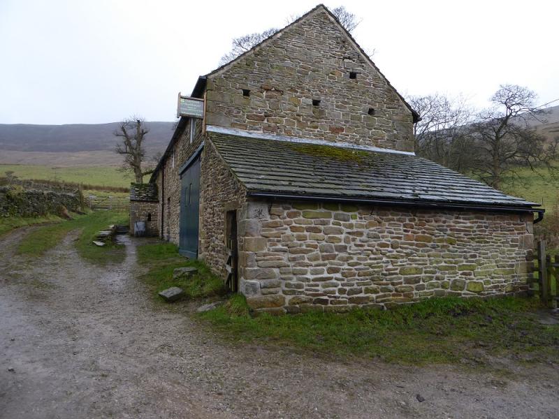
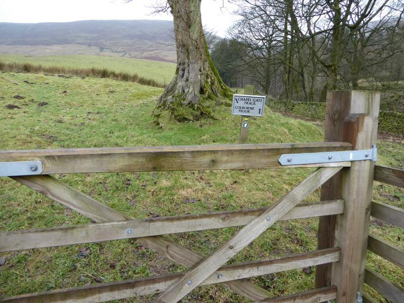
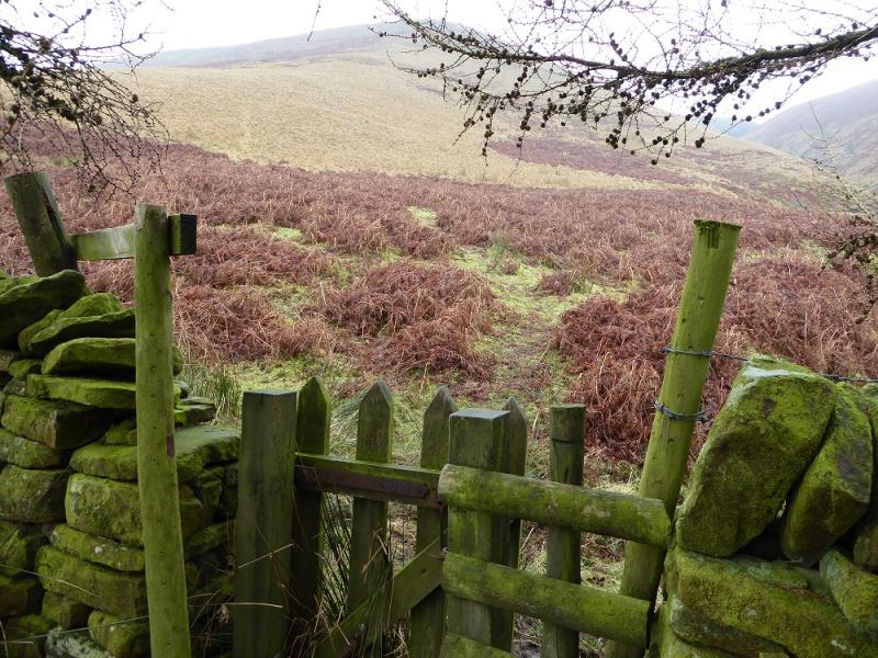
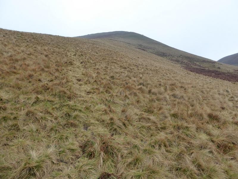
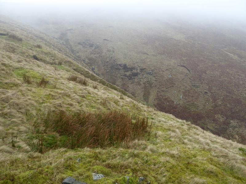
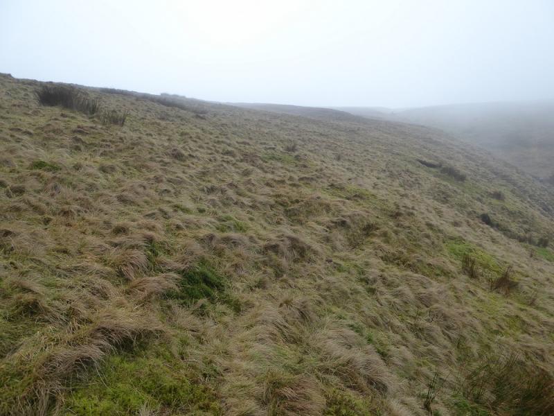
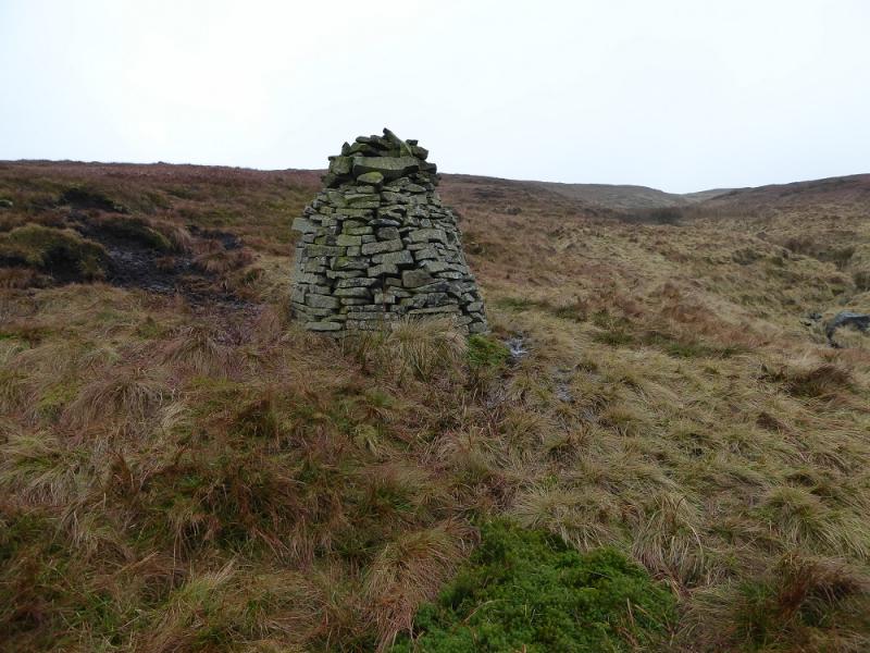
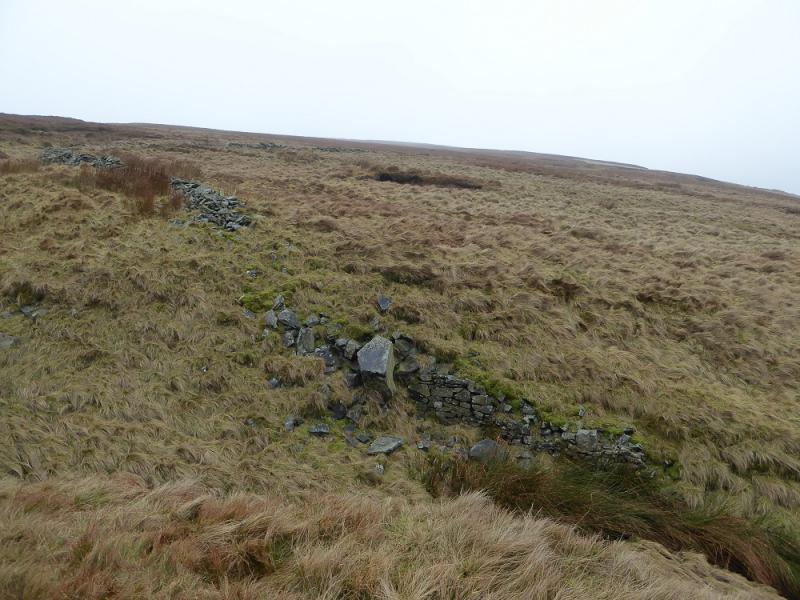
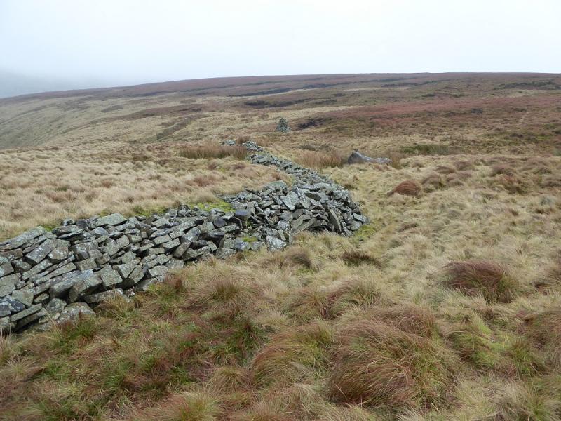
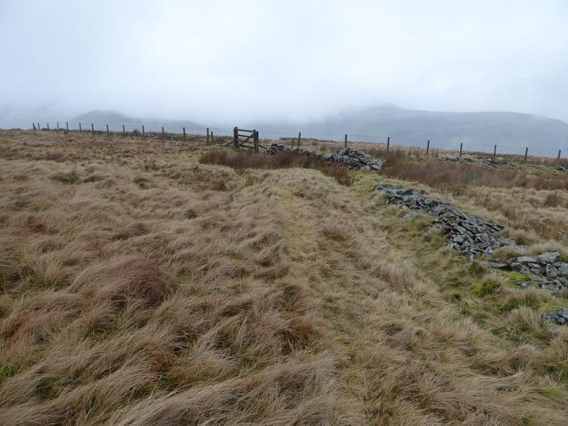
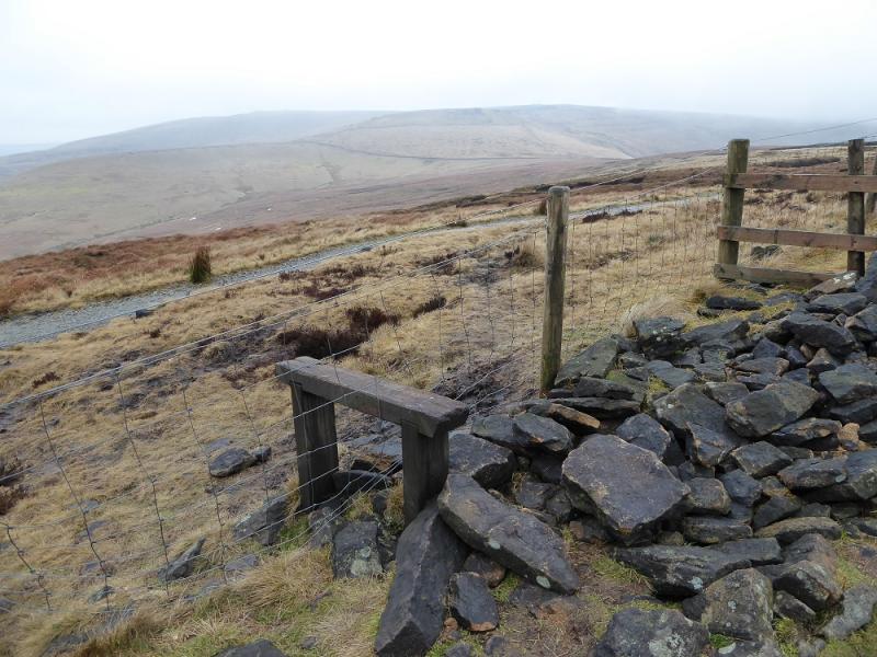
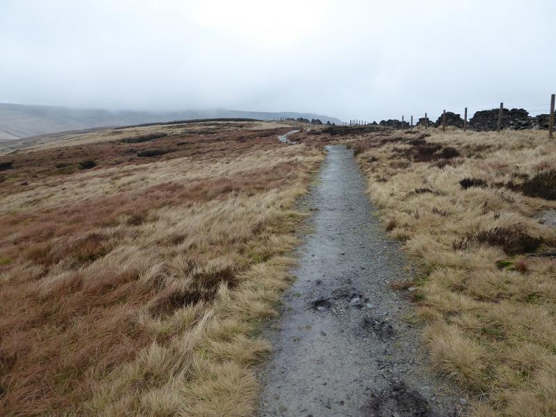
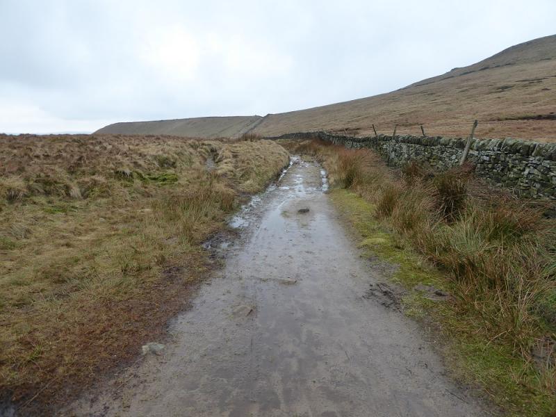
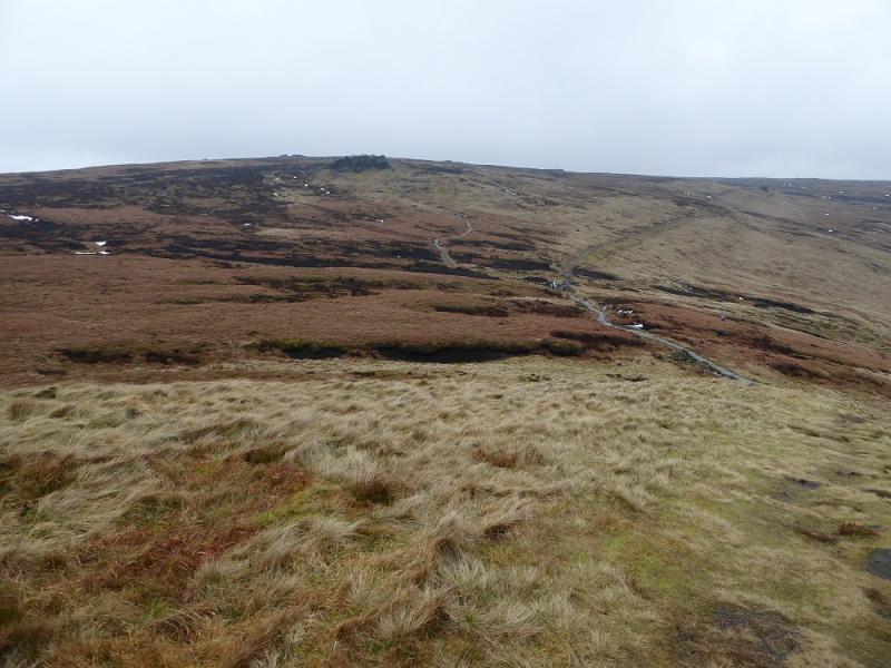
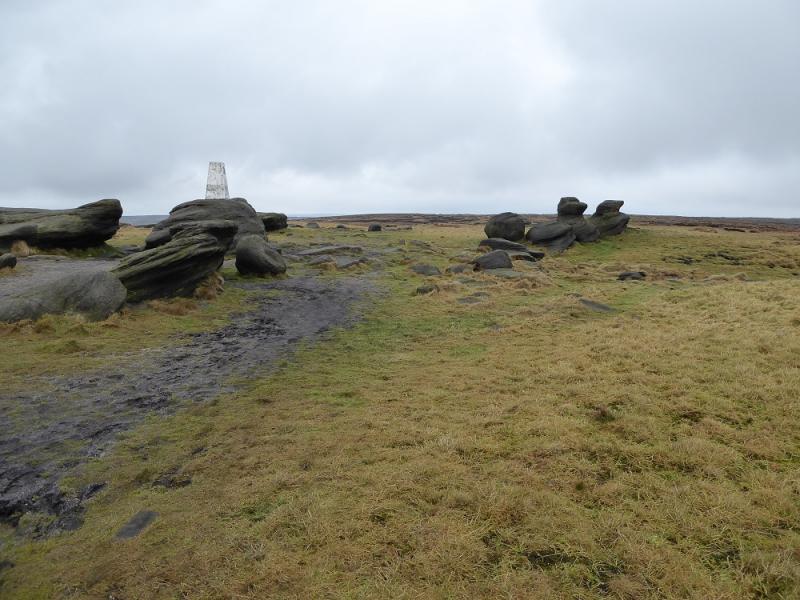
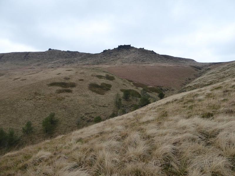
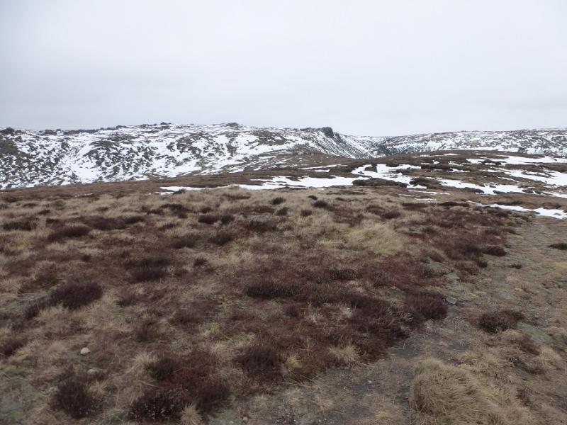
(1) Continue up the road from the car park then, almost immediately, go left for Dalehead. Follow the track then fork left again later on for Dalehead. Walk past Dalehead then follow the path for Colborne Moor which soon climbs steeply. The path can be faint in places. If in doubt, drift right towards the edge of the obvious clough and continue up to the large cairn. Just after this, cross the stream in the clough and follow the broken wall on a faint path towards Horsehill Tor. At the end of the wall there is a gate but don't go through it. Instead turn left and walk at right angles to the wall across rough grass then easier moorland. There is a faint path but it is not easy to find. Continue and, before too long, reach the main path from |Rushup Edge to Brown Knoll which is now slabbed and very easy to walk. Continue and ascend easily to the trig point of Brown Knoll, 569 m.
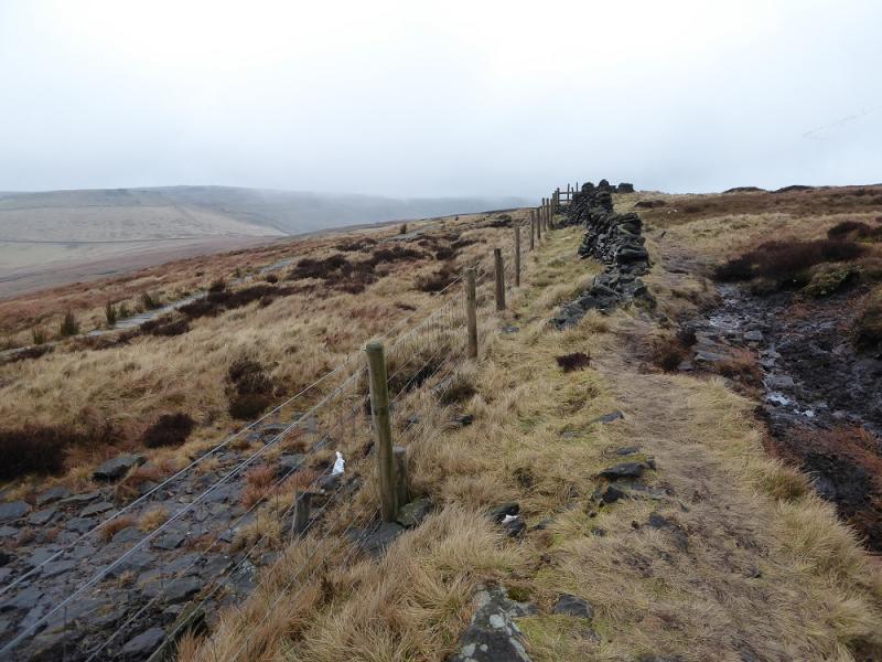
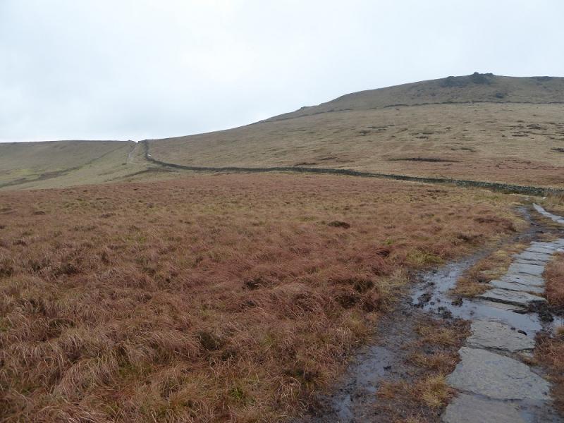
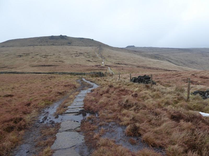
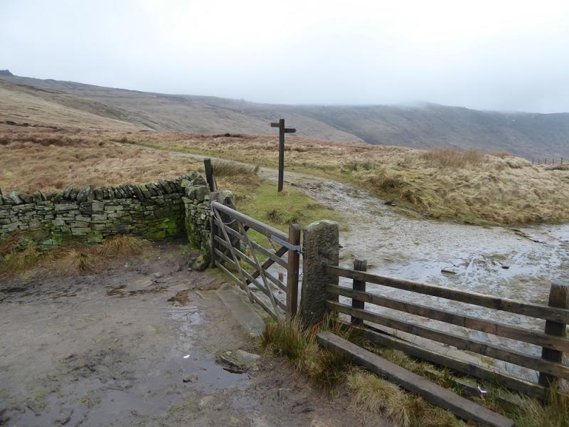
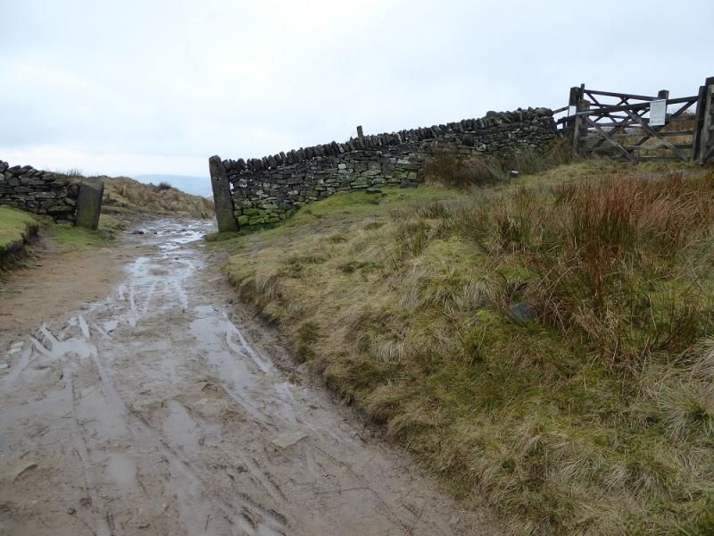
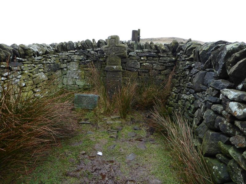
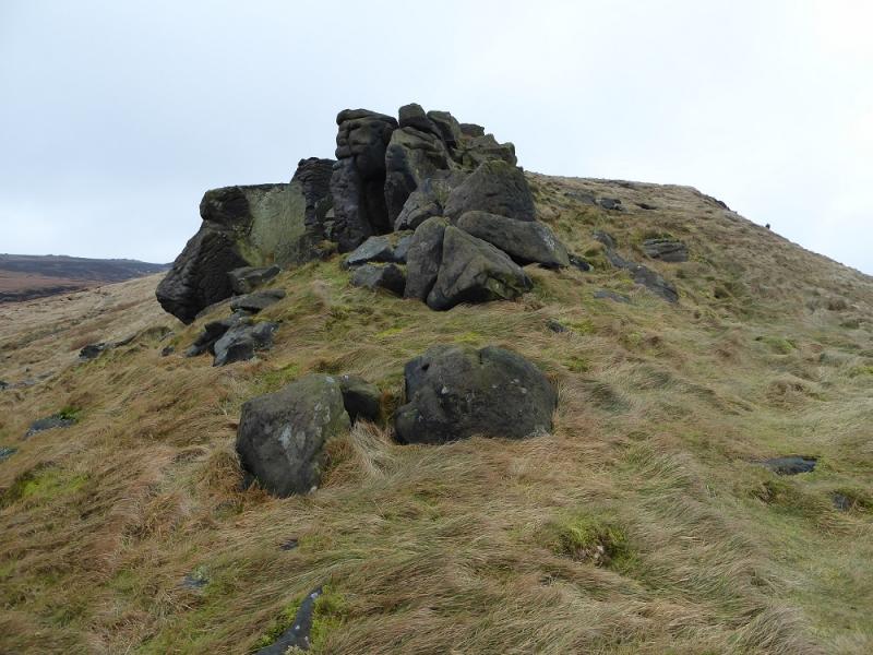
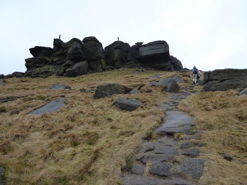
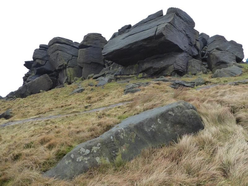
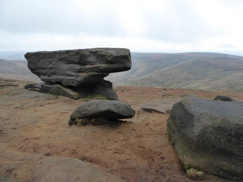
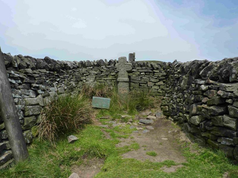
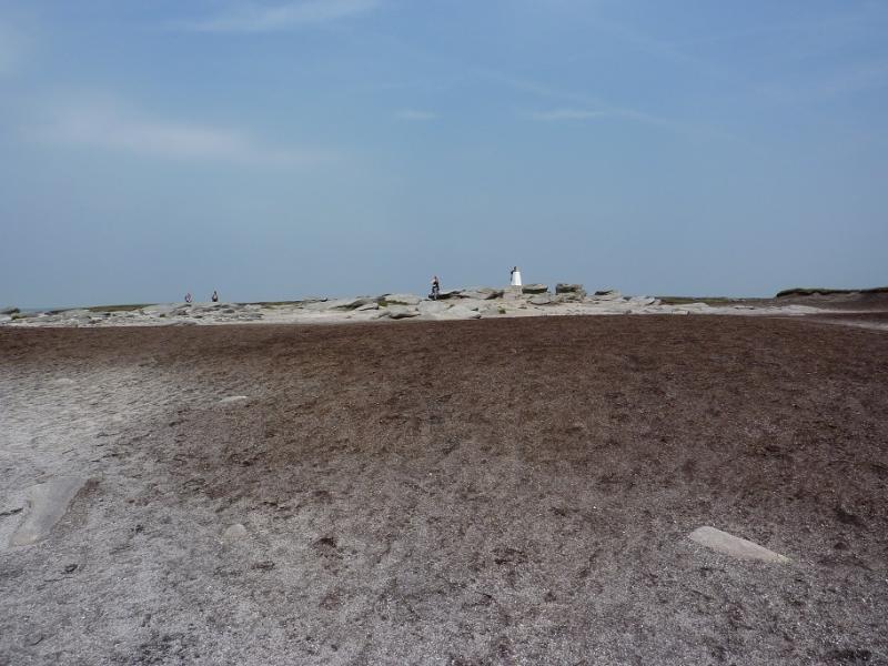
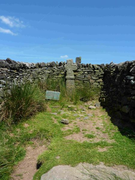
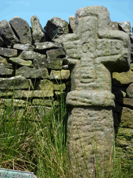
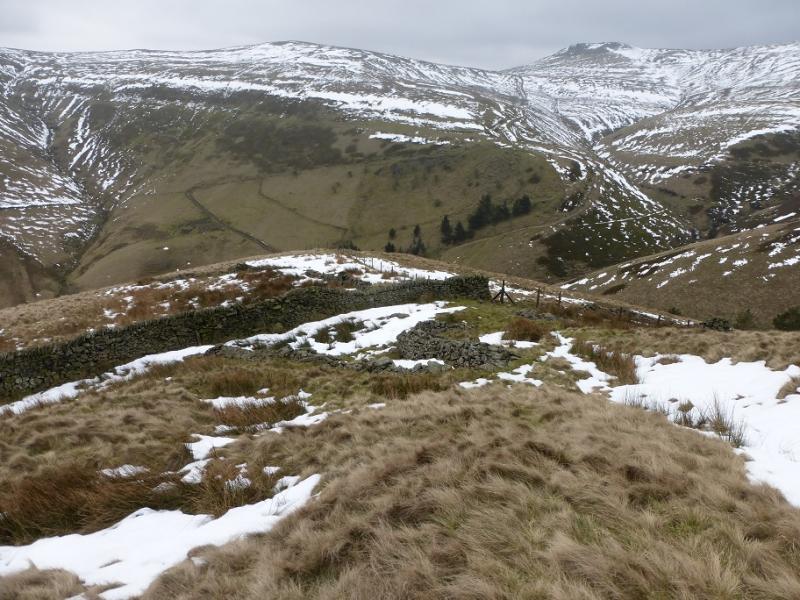
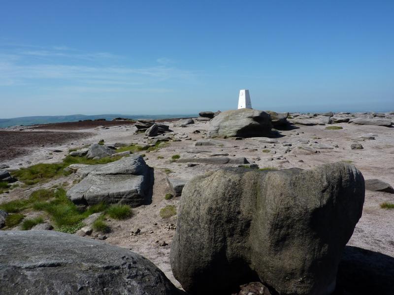
(2) From Brown Knoll, follow the crest, roughly N, on a newly slabbed path. This is almost complete and ends at a fence just before an equally good path coming from South Head. Go slightly uphill to reach a stile to cross the fence then continue, right, on the path from South Head which leads down to crossroads where Edale Cross is left and Jacob's Ladder is right.including the Pennine Way, at the top of Jacob's Ladder. Turn left, W, and after about 300 m, reach Edale Cross which is hidden in an alcove of stone walls. Follow a faint path, uphill, going N, on the right of a wall, from Edale Cross. Just below the obvious rocks, Swine's Back, fork right on to a grassy path and go over the rocks then down the other side to join the slabbed Pennine Way and follow it up to Edale Rocks. Continue up, to the right of the rocks to another routcrop then, a little further, to the trig point of Kinder Low, 633 m.
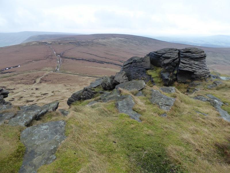
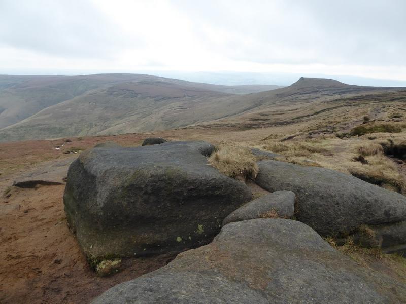
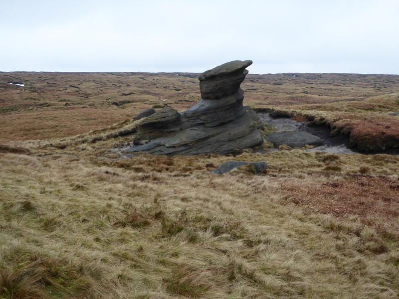
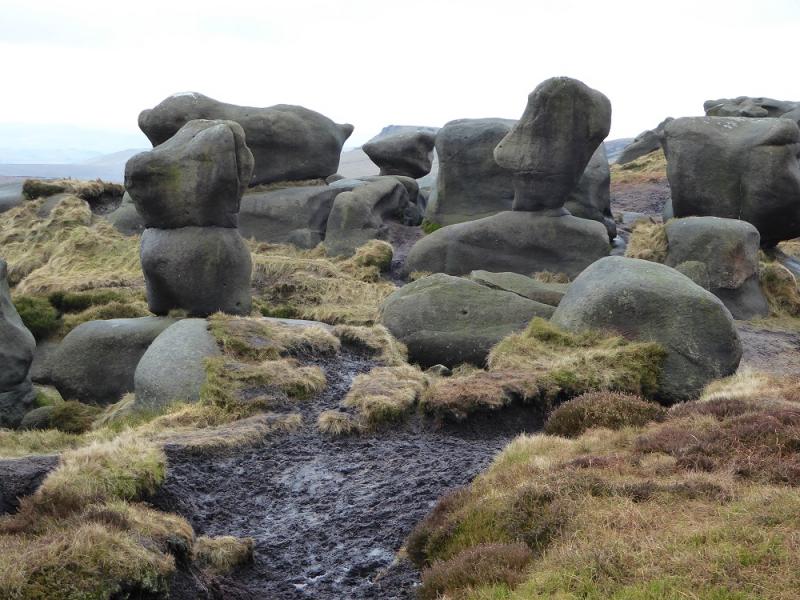
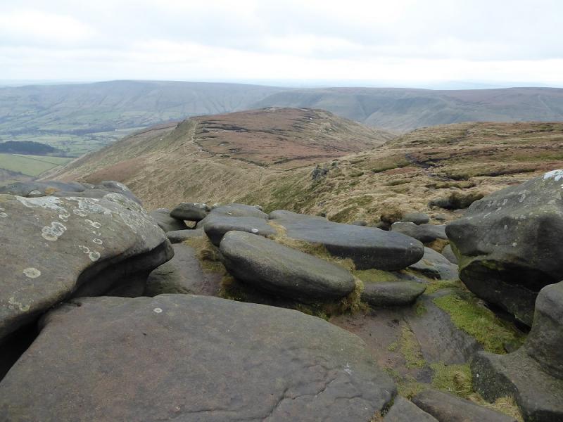
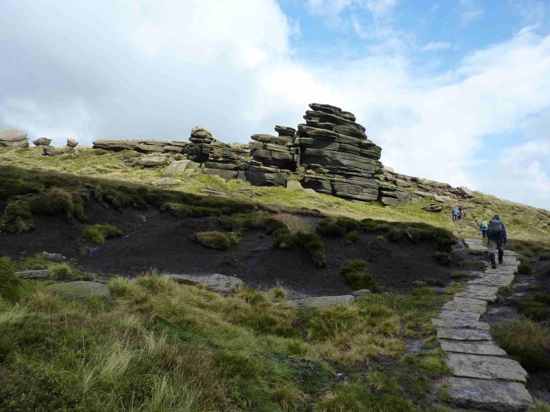
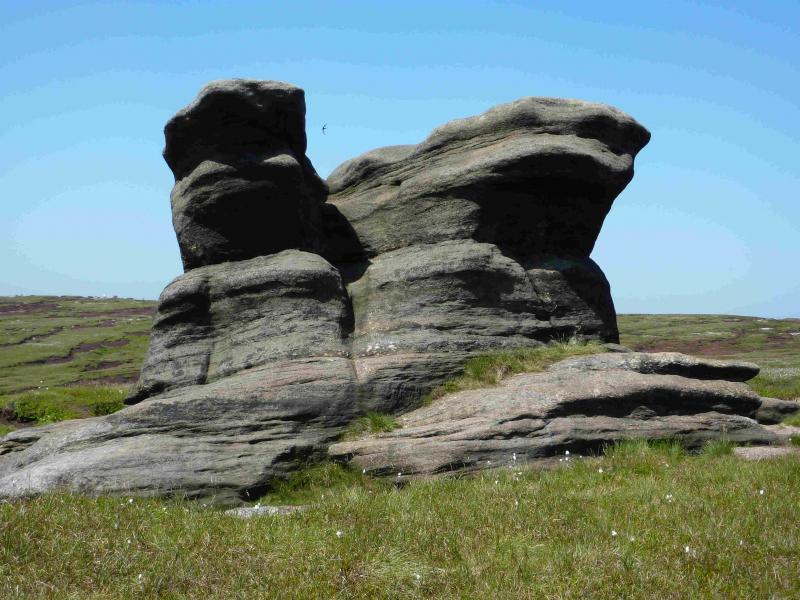
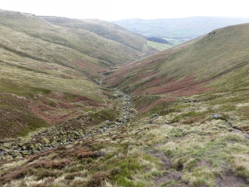
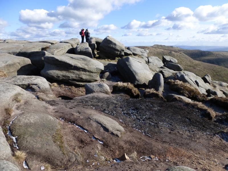
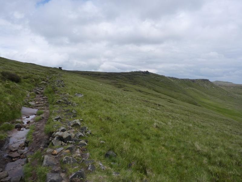
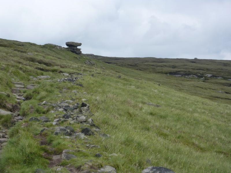
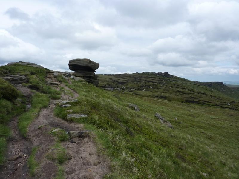
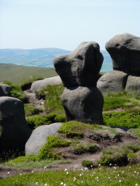
(3) Descend gently, roughly ESE, on a rough path which leads to the main edge path near Noe Stool, an irregular solitary boulder similar to the Salt Cellar on the Derwent Edge. Continue, now heading E, to an area of many outcrops including the distinctive Pym Chair just to the N. On the ground are many scattered small boulders known as the Woolpacks. In the bottom of these is a rock feature which from the NE could be said to resemble Winnie the Pooh. It can be very boggy around here. Continue on to pass a rock resembling a snail just before the top of Crowden Tower which is just before Crowden Clough stream is crossed.
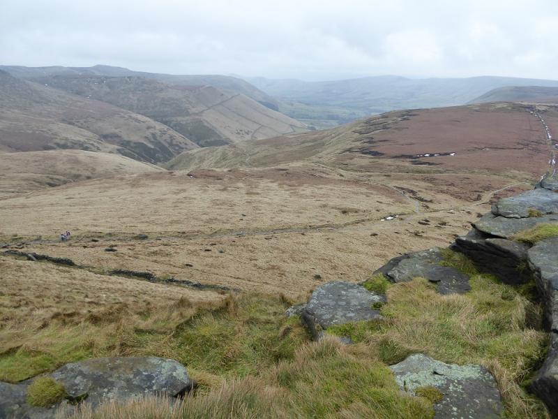
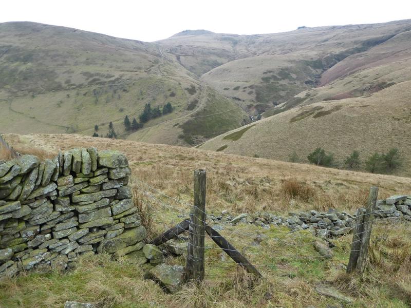
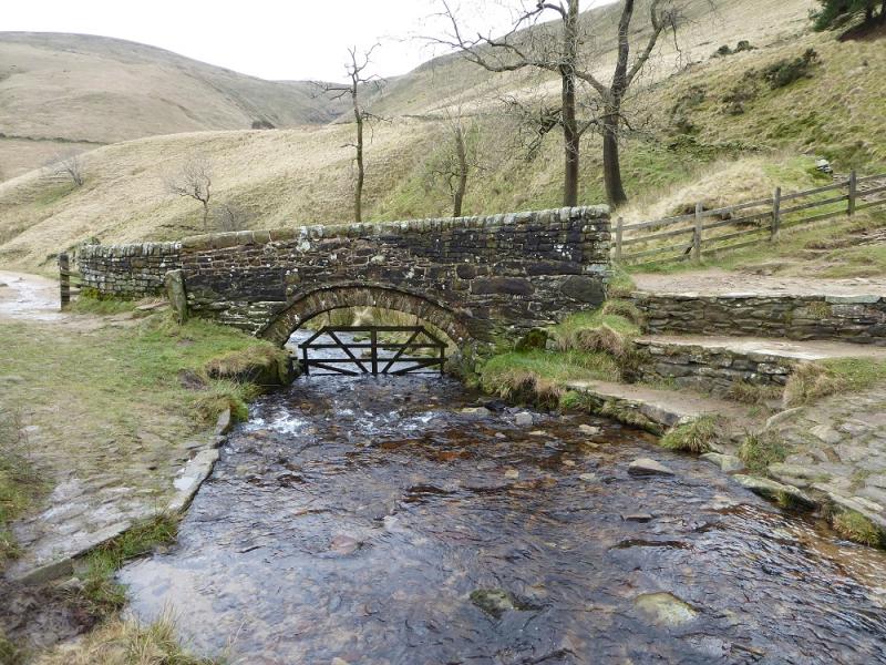
(4) From Crowden Tower, retrace SSW along the obvious edge path passing the snail rock. Once past the rocks, descend down moderately steep grassy slopes for a short distance to join the traverse path (above). Follow this along the eastern side of the S ridge of Crowden Tower. Unless covered by snow, the path is easily followed. Further on, it leaves the eastern edge and cuts across the ridge to its western side. A wall blocks a direct descent S but the path goes further W and goes around the end of the wall then, more steeply, down the right hand side, W, of a broken wall to reach the Pennine Way by the old pack horse bridge at the foot of Jacob's Ladder. Do not cross the bridge but turn left, SE, and follow the Pennine Way back to the end of the road at Upper Booth then back to the start.
Notes
(a) This walk took place on 17th February, 2017.
Photos - Hover over photo for caption. Click on to enlarge. Click on again to reduce.