Get Lost Mountaineering
You are here: England » Peak District » Kinder, Mam Tor ridge, Rushup Edge, Brown Knoll & Win Hill from Edale
Woolpacks via S ridge, Kinder Low, Edale Cross, Brown Knoll & Dalehead from near Barber Booth
Woolpacks via S ridge, Kinder Low, Edale Cross, Brown Knoll & Dalehead from near Barber Booth
Start/Finish
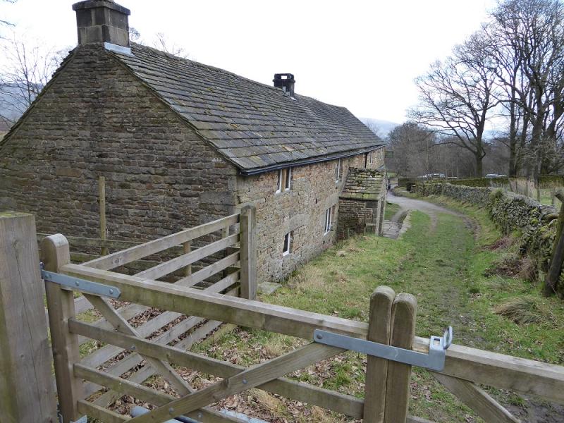
Upper Booth parking spot (holds about 15 cars) which is about a mile west of Edale village car park which, coming from Hope, is on the Edale road just before the turn off to Edale village. The turn off for Edale from Hope, from The Hathersage to Castleton road, A625, is not that obvious and easy to miss. It is a right turn opposite a chuch on the left on the eastern end of Hope. Upper Booth is a signed right turn just before the Edale valley road starts climbing towards Mam Tor. The road is narrow with few passing places. There is also some parking further back from the main parking spot under the obvious viaduct. Both spots are free to park at. There are toilets in the Edale village car park.
Distance/Time
11 km. About 4 – 5 hours.
Peaks
Kinder Low, 633 m, SK 079 870.
Brown Knoll, 569 m, SK 083 851.
OS 110: Sheffield & Huddersfield. OS Outdoor Leisure 1: Dark Peak
Introduction
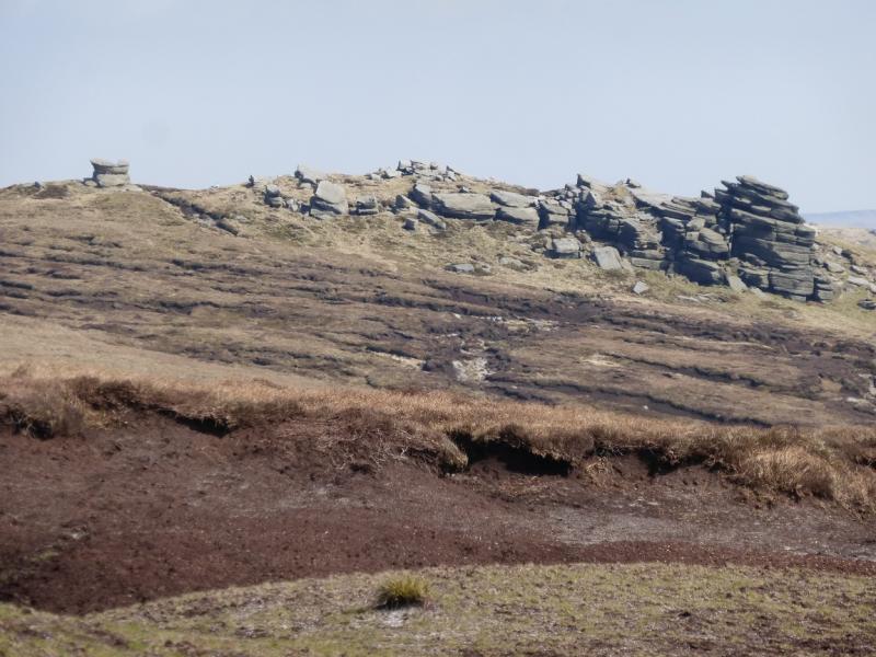
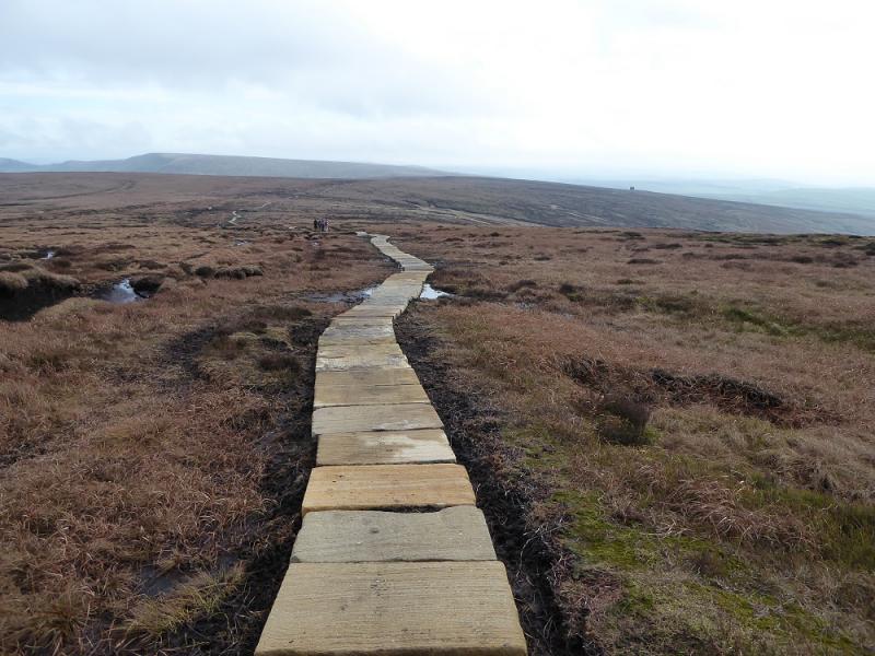
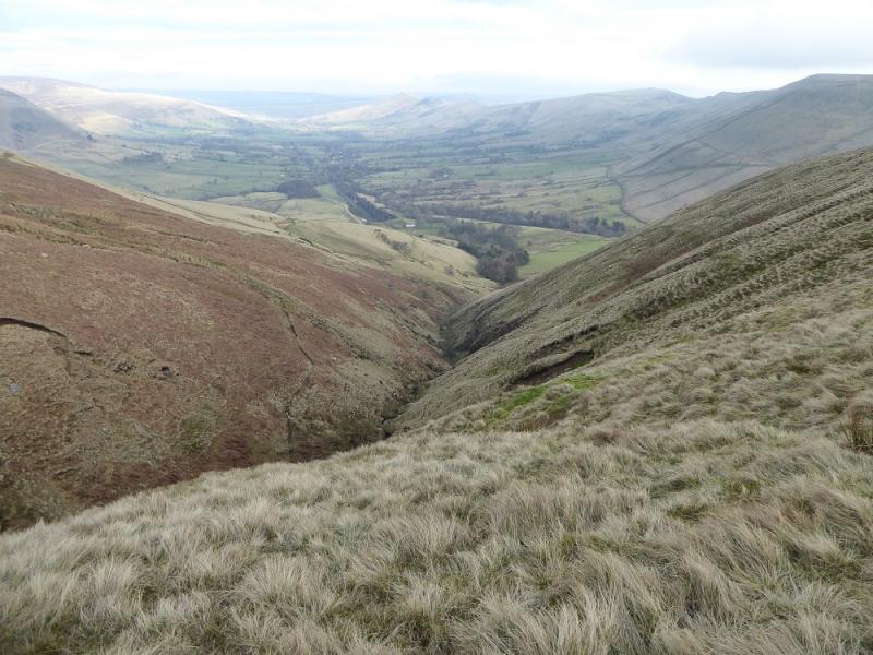
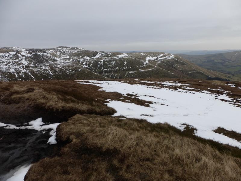
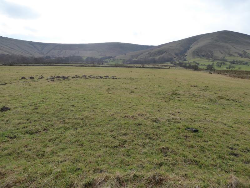
This is a very pleasant walk around the head of the Edale Valley. There are good views across the valley and beyond. On the southern edge of the Kinder plateau are numerous rocky outcrops which add to the landscape. The very boggy path over Brown Knoll has now been slabbed. The path down to Dalehead is quite steep in places. The direct ascent to the Woolpacks is even steeper but there is a faint path.
Route
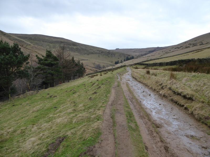
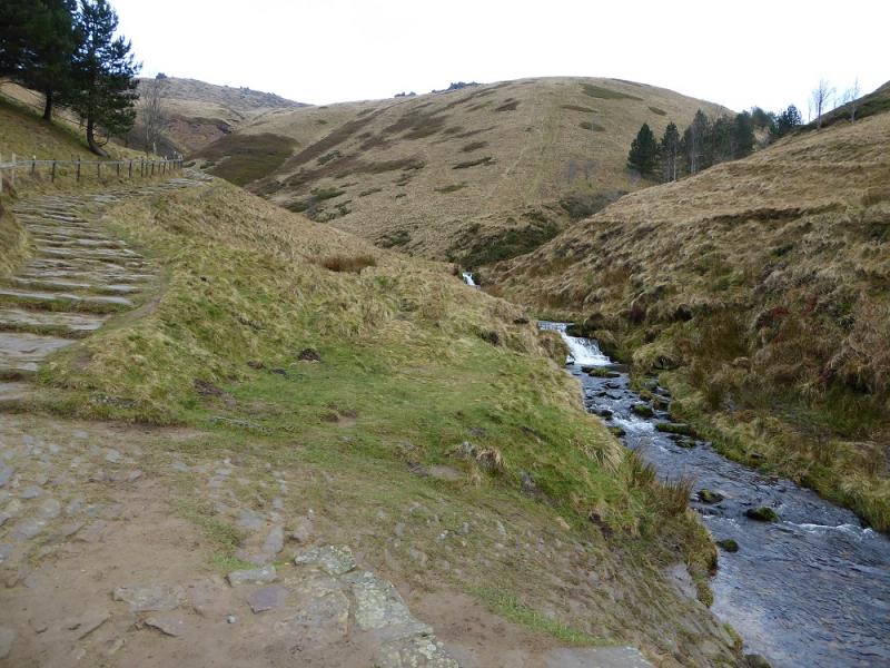
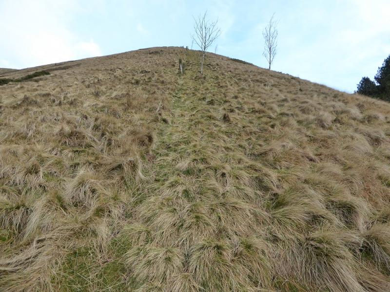
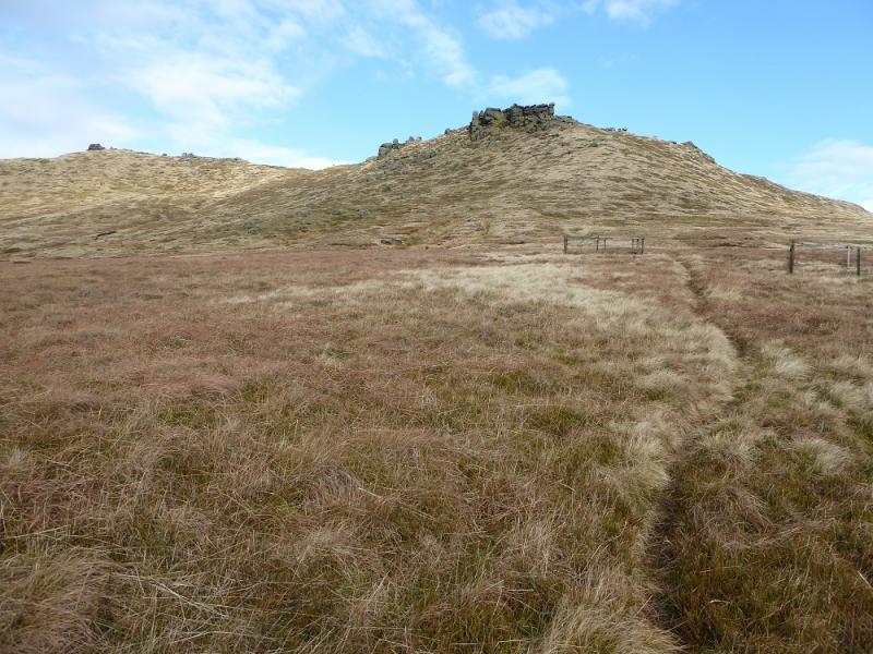
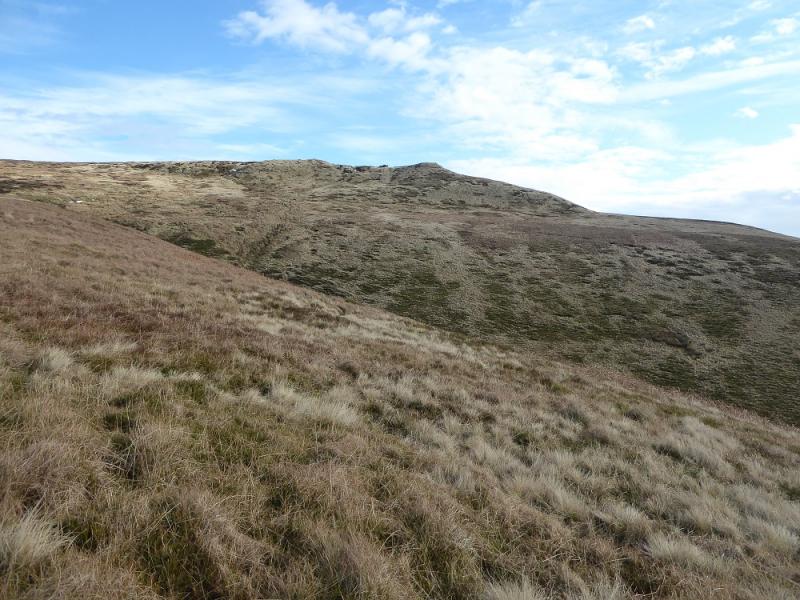
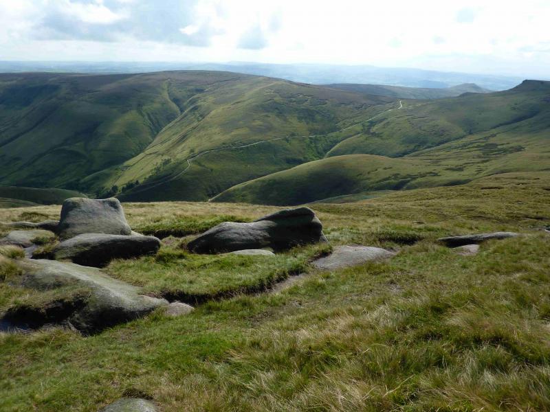
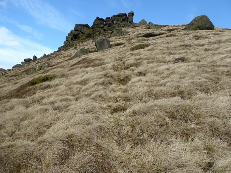
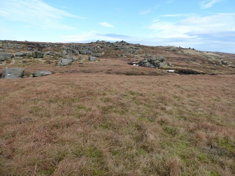
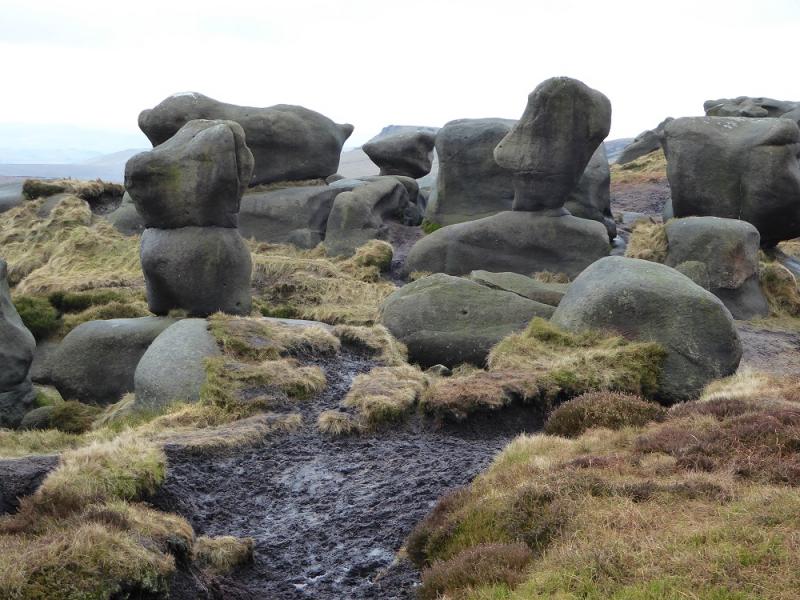
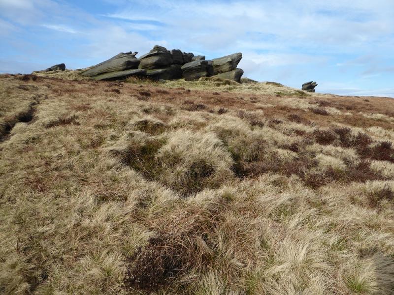
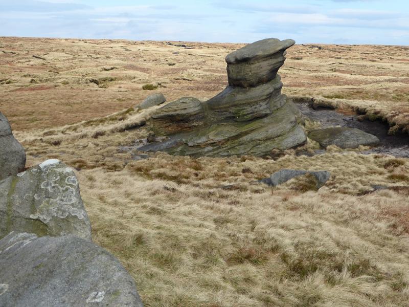
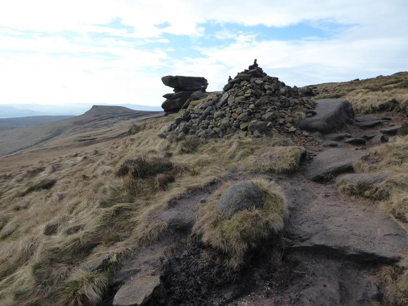
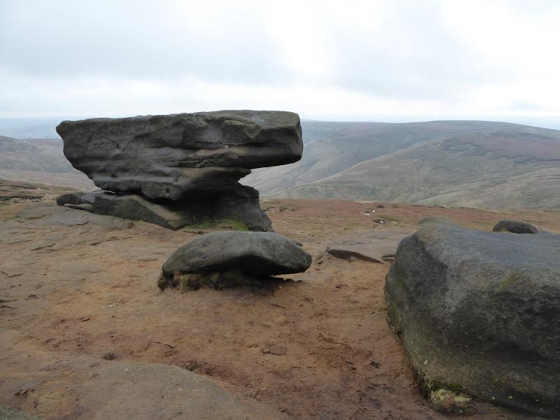
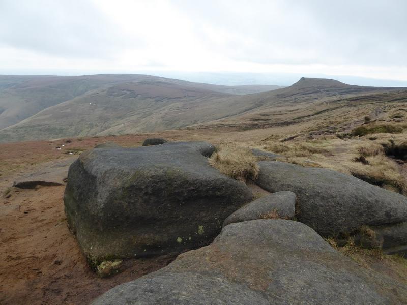
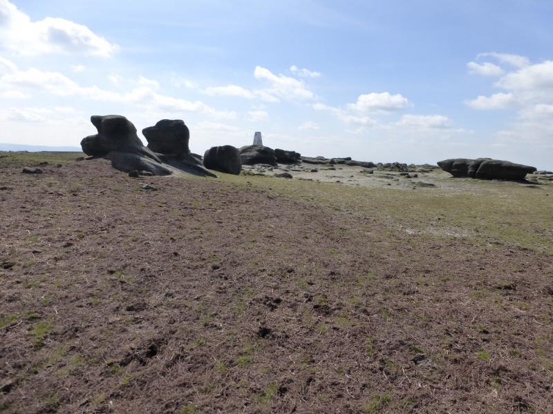
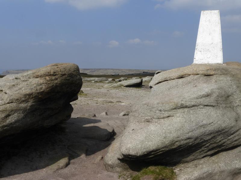
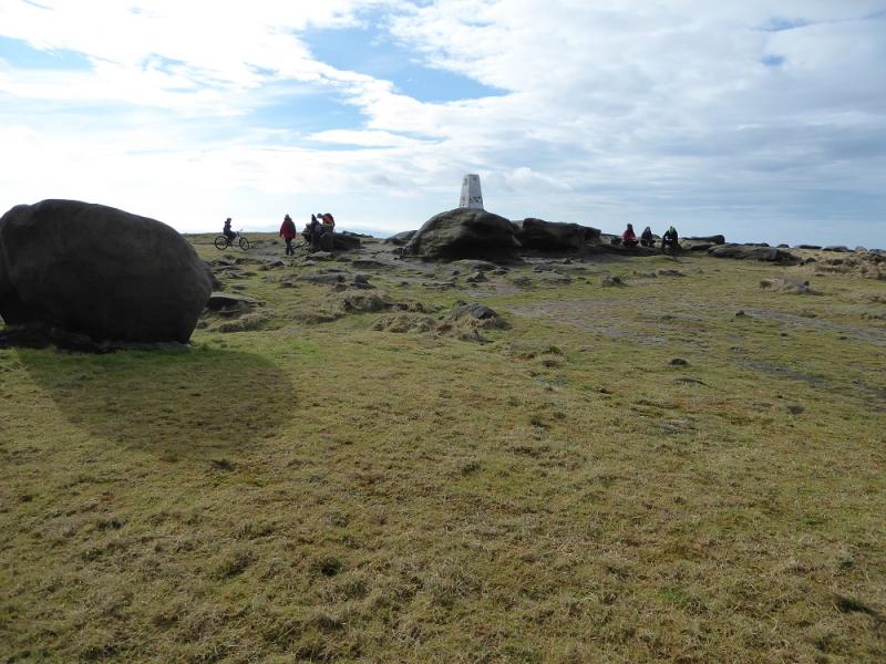
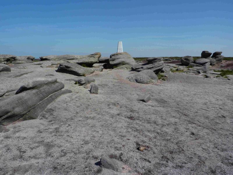
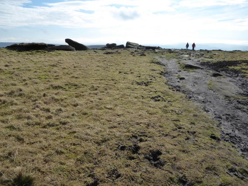
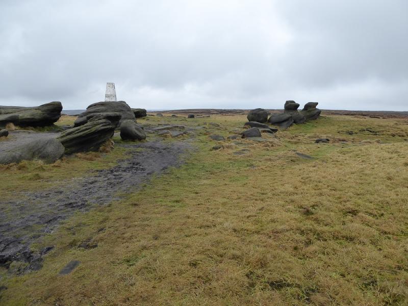
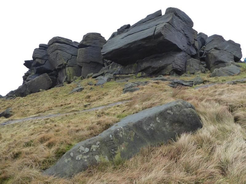
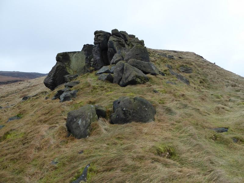
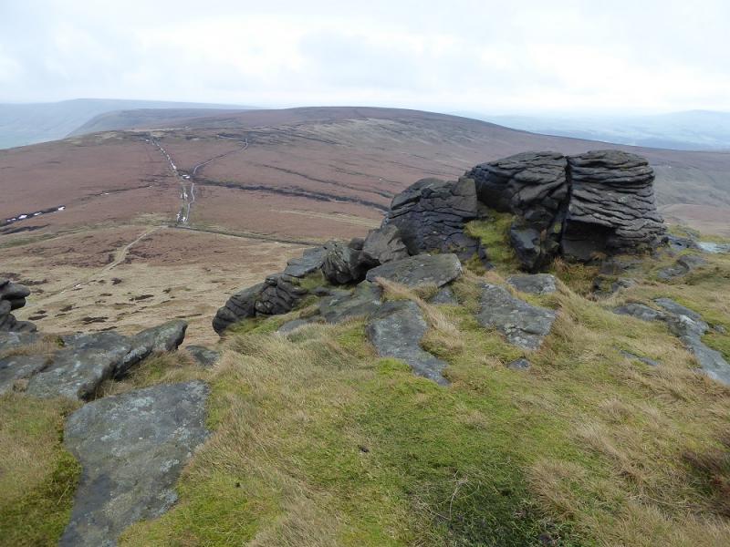
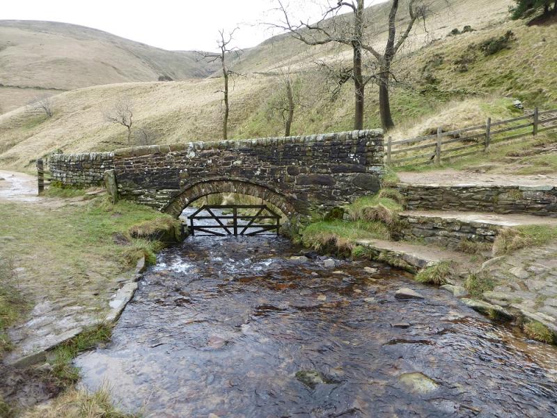
(1) Continue up the road from the car park and follow it past Upper Booth (telephone box) then continue past Lee Farm, now on a track, to reach the old stone bridge at the foot of Jacob's Ladder. The old Jacob's ladder path is on the left, the new one is directly ahead but the ascent route for this walk goes right up the steep grassy ridge with a few trees on it. Cross the stream at the foot of the ridge then head up on a faint path. The steepness is short lived but still quite strenuous. When the angle eases, continue up more easily until it steepens again below the obvious rocks. Reach the impressive outcrop then continue past into the main body or rocks known as the Woolpacks. The “Winnie the Pooh” rock is the boggy hollow and is most realistic from the north east. Continue on the main edge path, quite boggy in places. Go past the Pagoda/Pym Chair outcrops then reach the solitary boulder known as Noe Stool. Just before this is a significant cairn which is probably the best place to leave the main path and head for the Kinder Low Trig Point which may have been visible in clear weather. The path is fairly obvious to begin with but is peaty and not so obvious further on. Soon reach the outcrops around the trig point which is Kinder Low, 633 m.
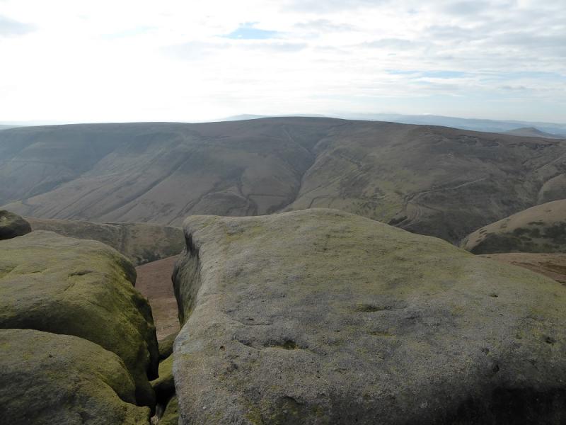
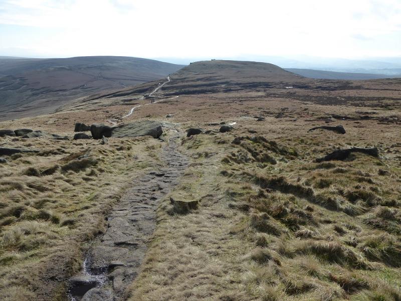
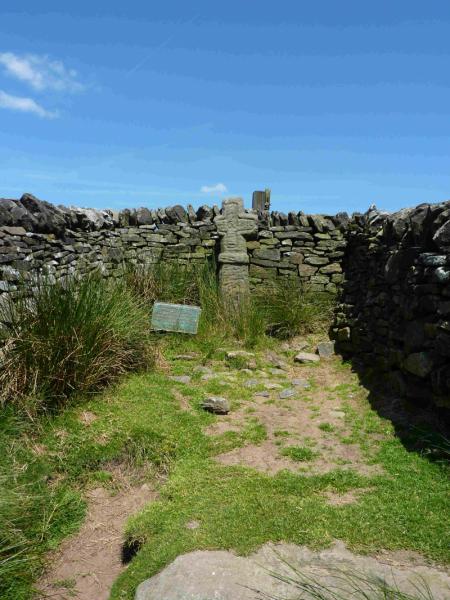
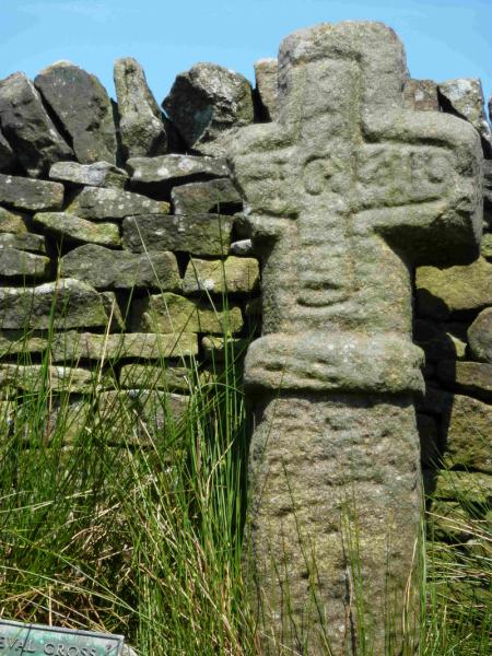
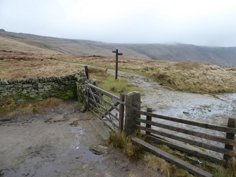
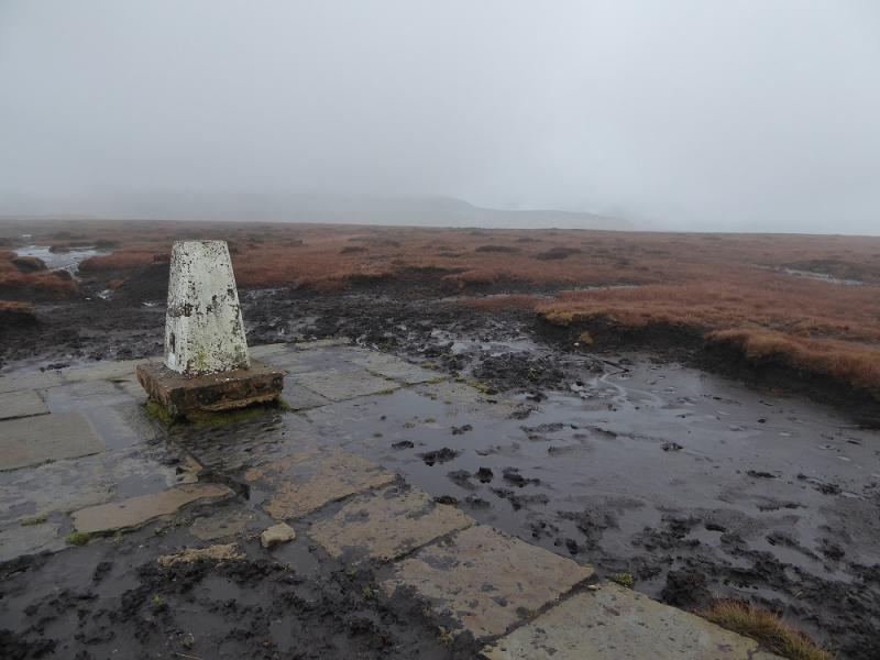
(2) Walk S from the trig point following a path into the soon reached outcrop. Descend easily through this to pass just to the left of the impressive Edale Rocks. Continue to pick up a better path but leave it when a faint path forks off right and ascends up on to Swine's Back which has rocky edge facing S. Continue over Swine's Back on the faint path then descend S to the left of the obvious wall and soon reach the main track connecting Edale to Hayfield. A few metres to the W, in a wall “alcove” is Edale Cross. Walk E to the gate just before a sign post for the Pennine Way at the top of Jacob's Ladder. Don't pass through the gate but go right and follow the slabbed path SE towards Brown Knoll. When the path turns to gravel, look for a stile which gives access to the newly slabbed path up Brown Knoll and this soon leads to the trig point (now no longer in a bog!) which is Brown Knoll, 569 m.
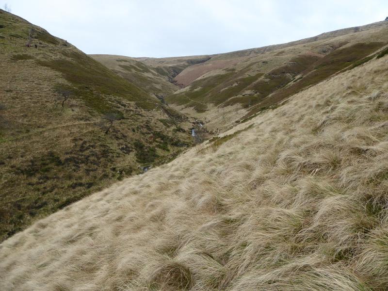
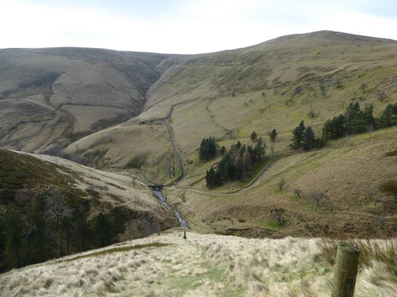
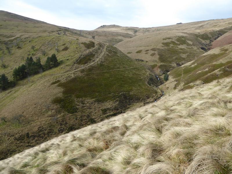
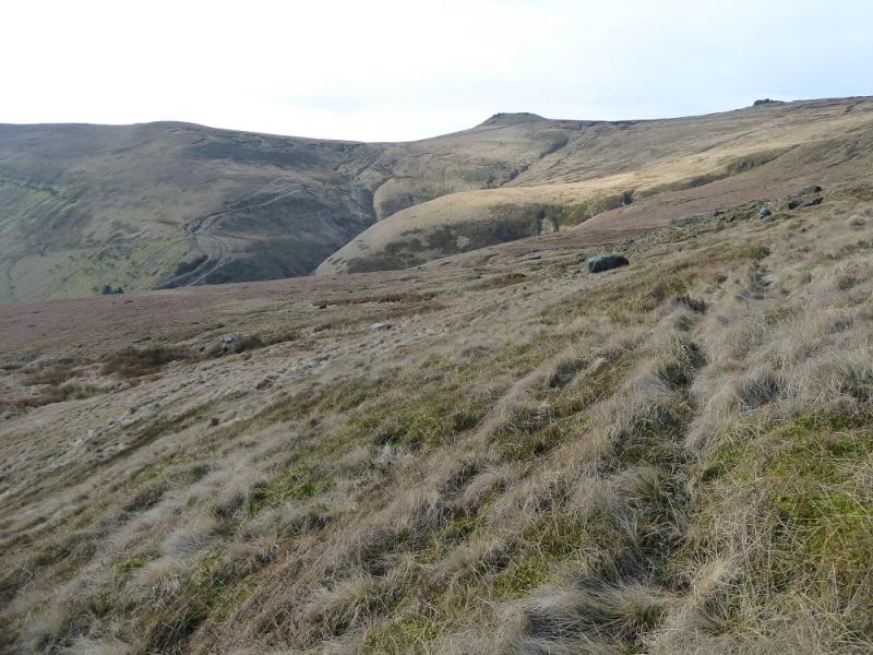
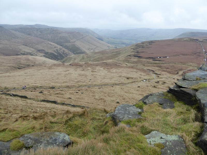
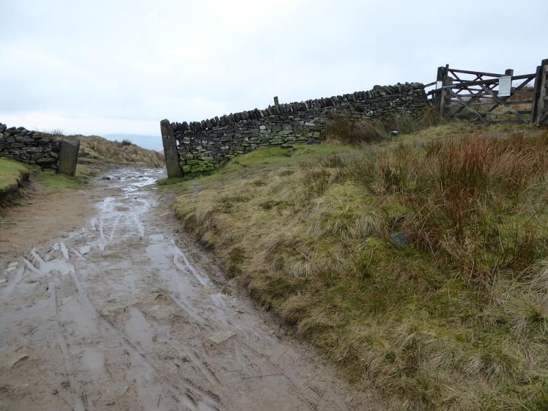
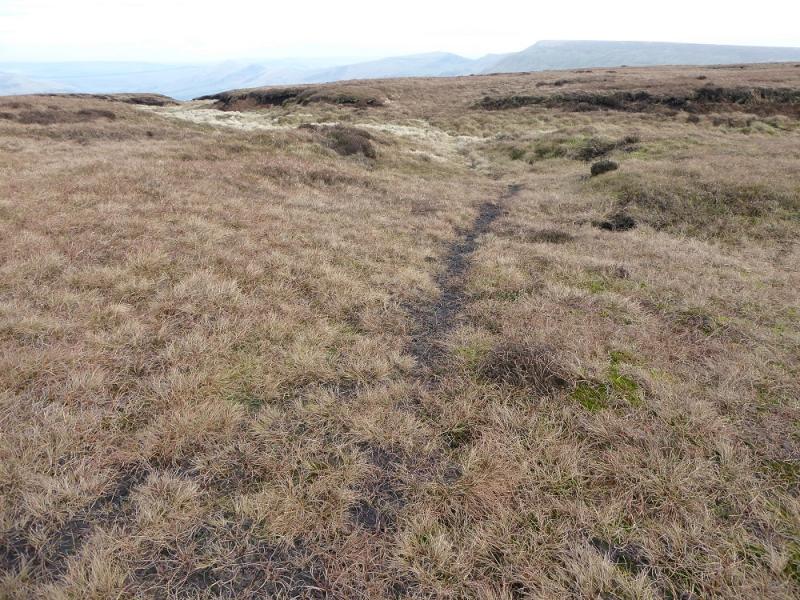
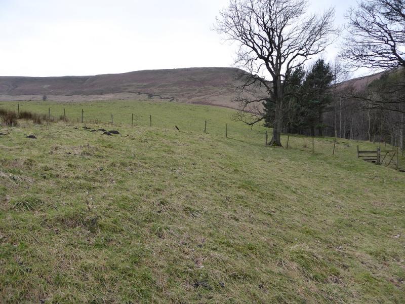
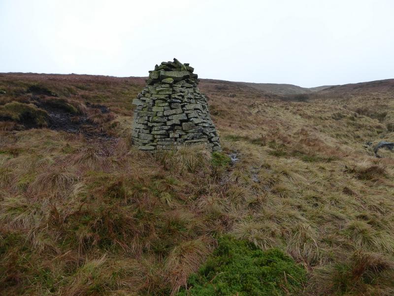
(3) Continue on the slabbed path. If it is clear, the castle like air shaft will be seen to the S. The best route is to locate the top of the unnaned clough which leads down to Dalehead but this can be hard to spot. It is easier to look for a faint path, well past the top of the top of the clough, in a very shallow hollow which leads roughly E. Follow the ground down but gradually drift left until you reach the edge of the large clough. There is a large cairn on the edge of the clough which should be seen in reasonable weather but don't worry if you reach the edge of the clough below it. There is a path down the S edge of the clough. It zig zags in places and is sometimes in a shallow grassy groove. Reach level ground and follow the faint path, trees on the left, to Dalehead then follow the track/road back to the start.
Notes
(a) This walk took place on 18th February, 2017.
Photos - Hover over photo for caption. Click on to enlarge. Click on again to reduce.