Get Lost Mountaineering
You are here: Scotland » 00 Galloway and the Borders » Lowther Hills
Comb Law, Ballencleuch Law, Scaw'd Law & Wedder Law from Kirkhope Cleuch Cottage by Daer Reservoir
Comb Law, Ballencleuch Law, Scaw'd Law & Wedder Law
from Kirkhope Cleuch Cottage by Daer Reservoir
Start/Finish
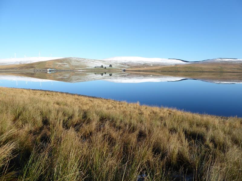
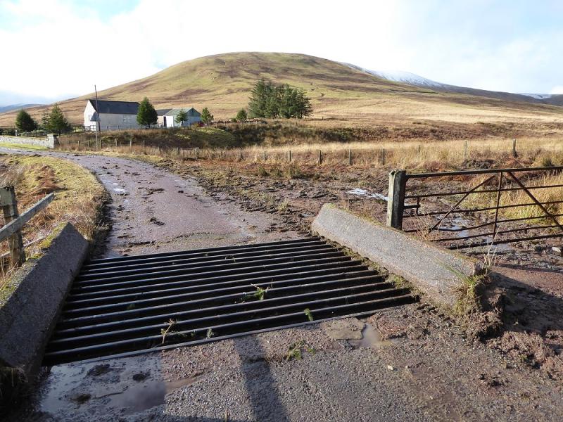
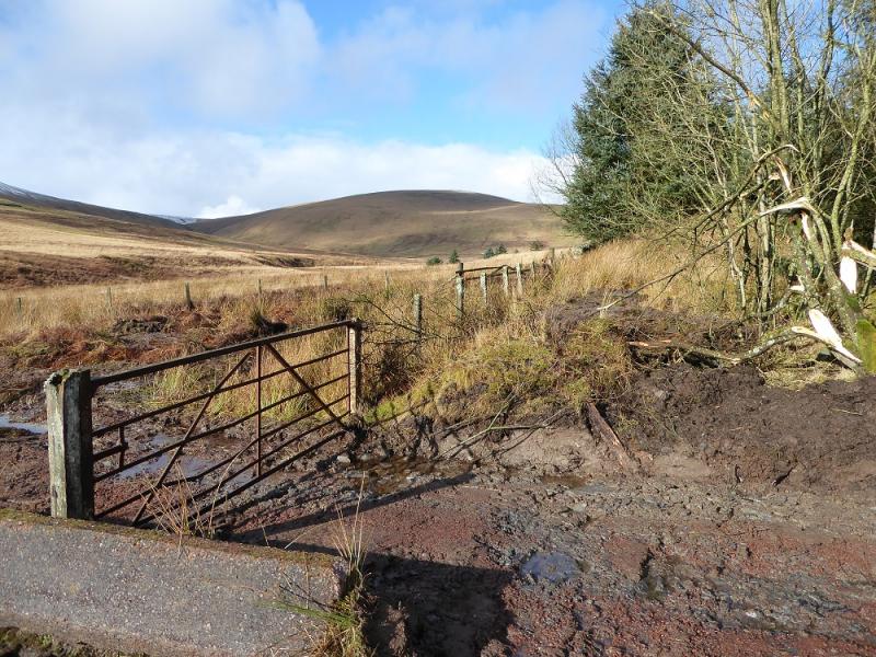
On the A702 which is about 2.5 miles south of Elvanfoot, which is off junction 14 of the M74, there is a minor road going to Daer Reservoir. After about 5 miles, at the end of the forest, is Kirkhope Cleuch Cottage with limited parking close by. If this has been taken then one will have to go backwards or forwards on the road and a space should be found within half a mile.
Distance/Time
21 km. About 6 – 7 hours.
Peaks
Comb Law, 645 m, NS 943 073.
Rodger Law, 688 m, NS 945 058.
Ballencleuch Law, 689 m, NS 935 049.
Scaw'd Law, 663 m, NS 922 035. (South Top)
Glenleith Fell, 612 m, NS 922 023.
Wedder Law, 672 m, NS 938 025.
OS Explorer sheet 329: Lowther Hill, Sanquhar & Leadhills.
Introduction
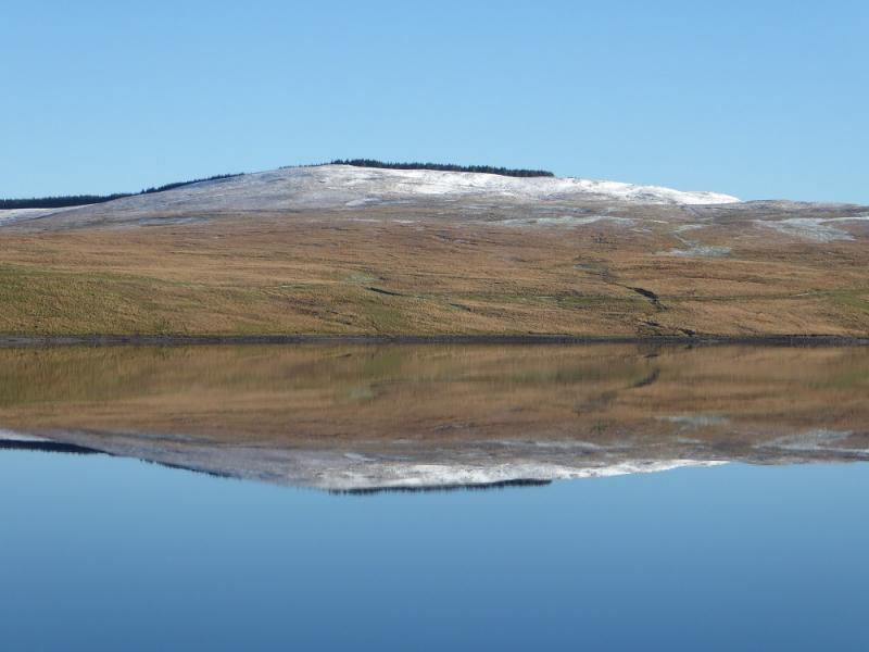
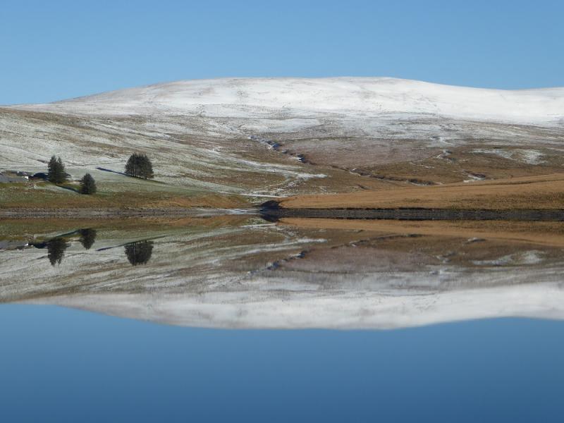
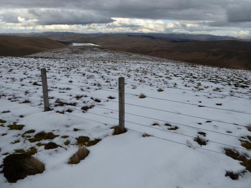
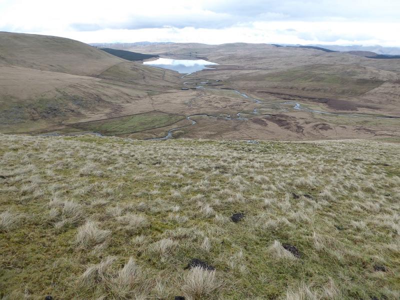
This is probably the most efficient way to cover these hills in a satisfying round. There are good views to the Lowther Hills and to Queensberry and Gana Hill which are part of the same range. The source of the River Clyde is considered to be in these parts being at Daerhead, the source of Daer Water which flows into Daer Reservoir and out as the River Clyde.
Route
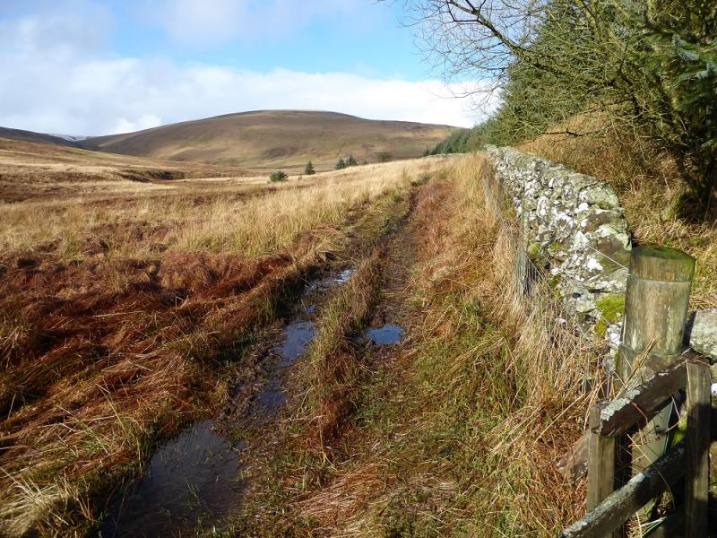
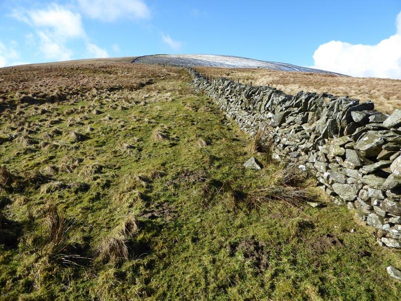
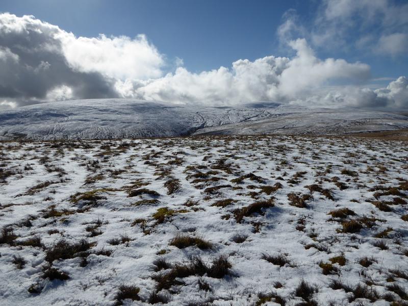
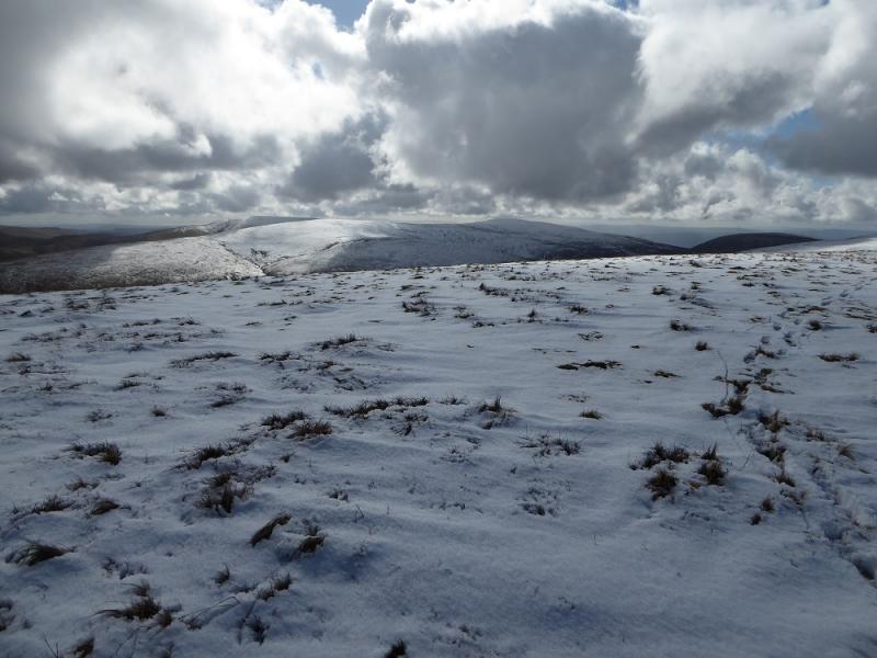
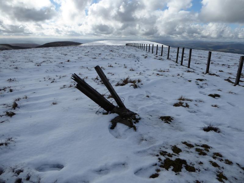
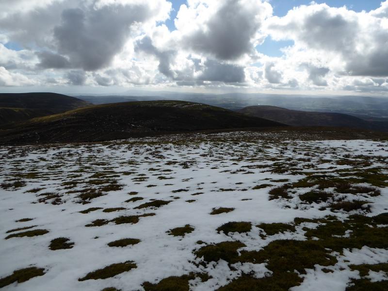
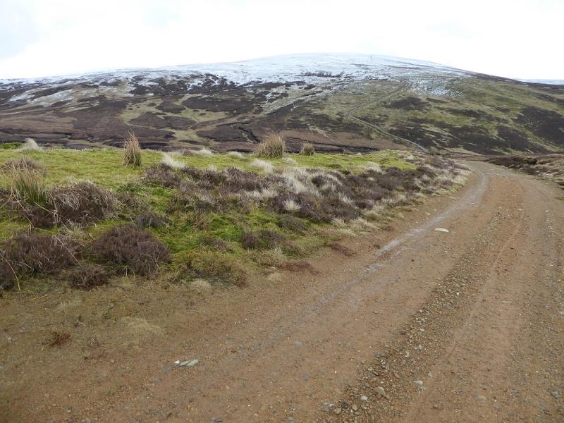
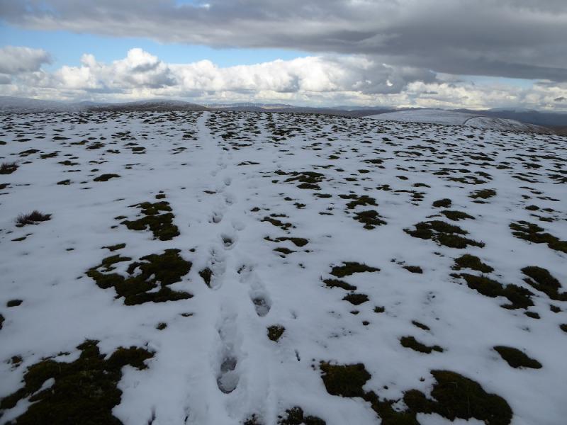
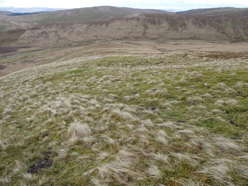
(1) Follow the S side of the wall (do not use the track through the forest) up by the forestry and continue by the wall to Comb Law, 645 m. The highest point is very close to the wall/fence junction on the crest. On 5/3/17, there was no cairn.
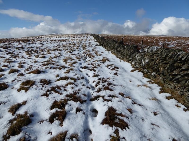
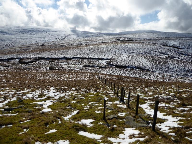
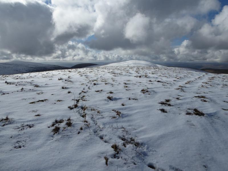
(2) Continue SW, following a fence over Hirstane Rig. Just after the wall turns S (from SE) make a detour NE up to the trig point on Rodger Law, 688 m.
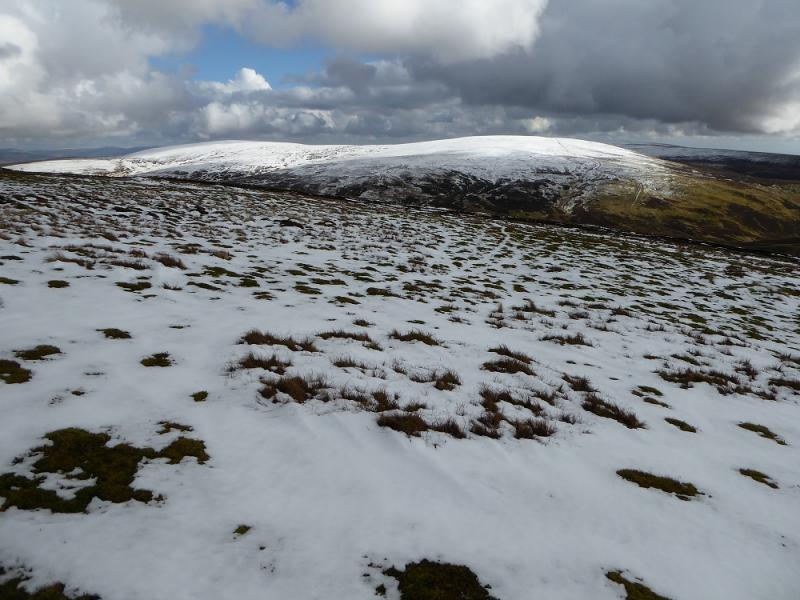
(3) Retrace back along the crest then SW, picking up the fence again, up on to Ballencleuch Law, 689 m. The summit seems to be marked by a “stick cairn”.
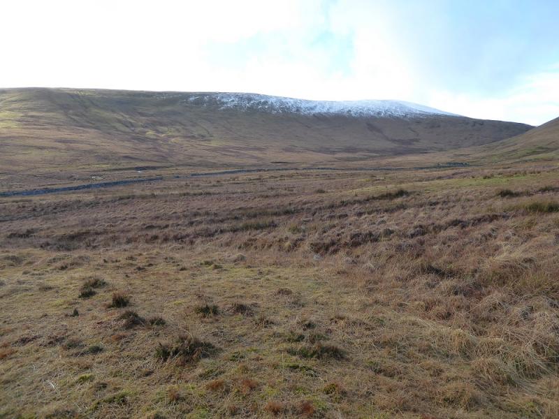
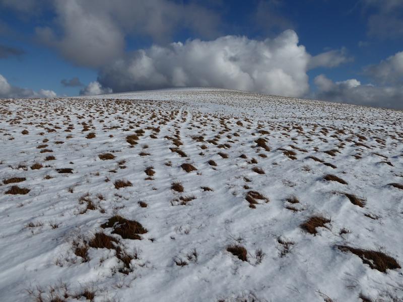
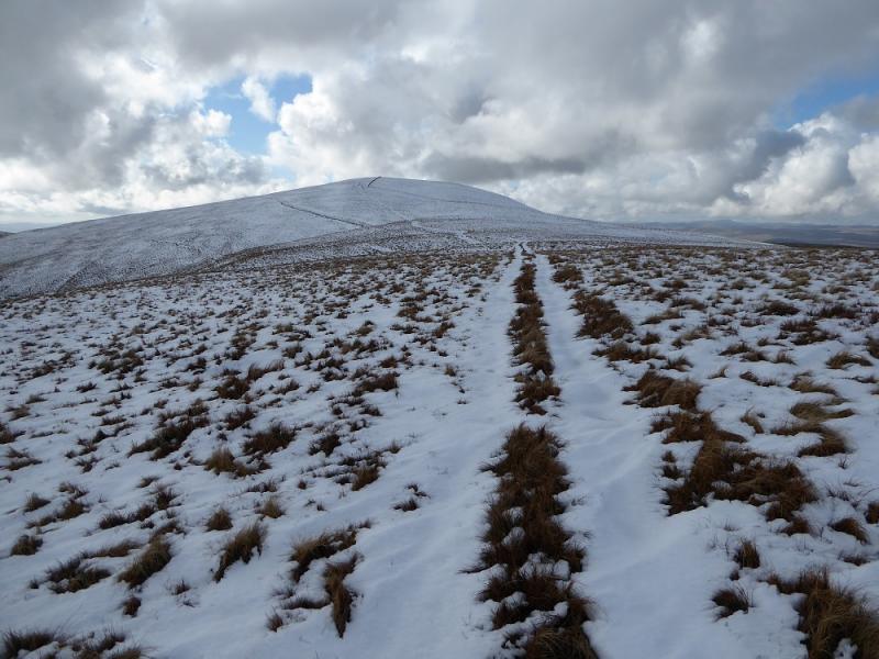
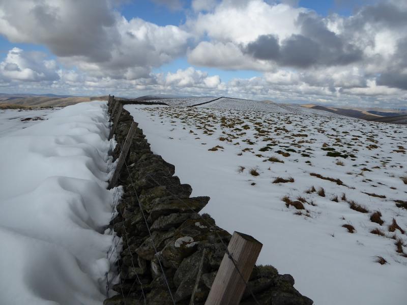
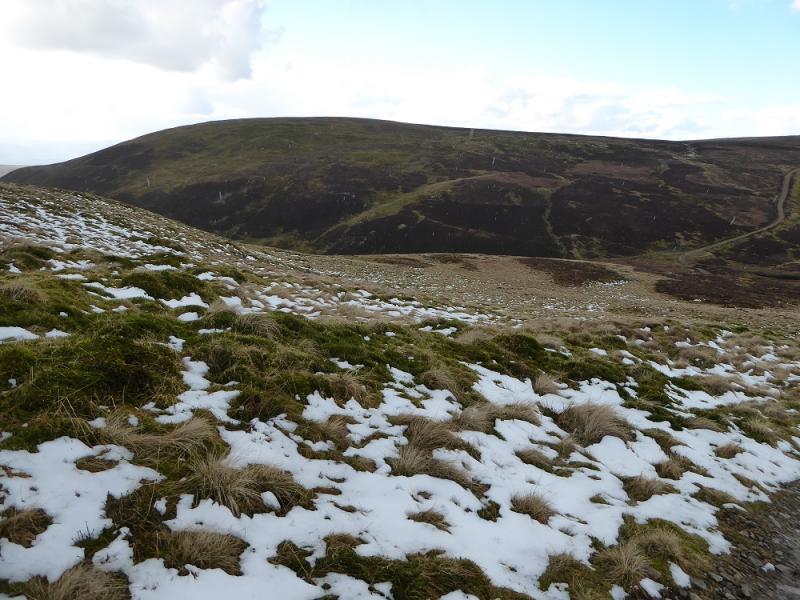
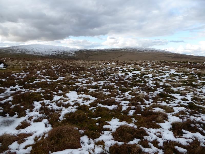
(4) Continue SW, following the fence, and descend gradually to a col then up similar ground to reach a wall/fence junction then S for about 200 m to the N Top then continue for another 400 m to the S Top which is Scaw'd Law, 663 m. Note that the OS give both tops as the same height. Neither top seemed to have a cairn on 5/3/17 although they could have been buried under snow!
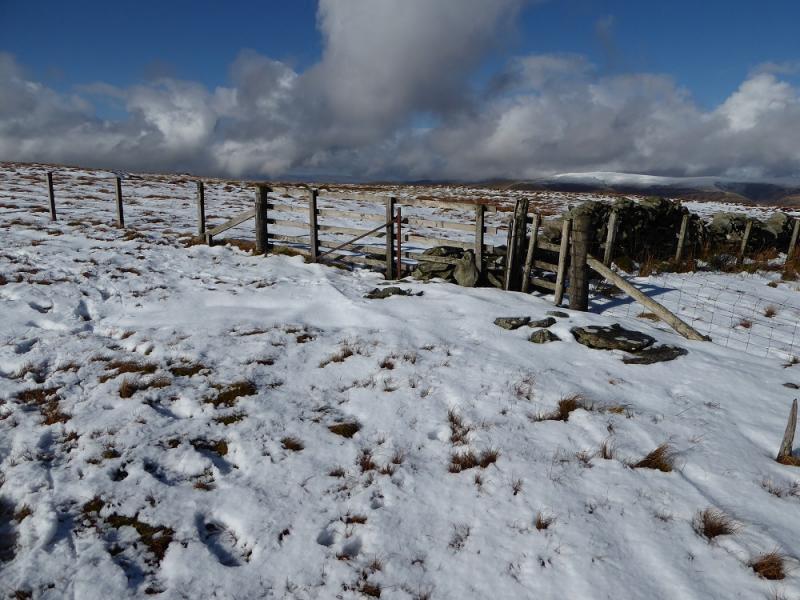
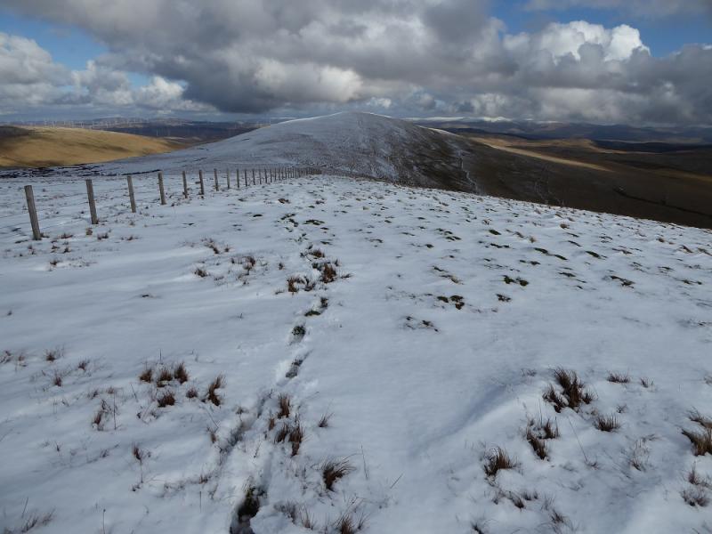
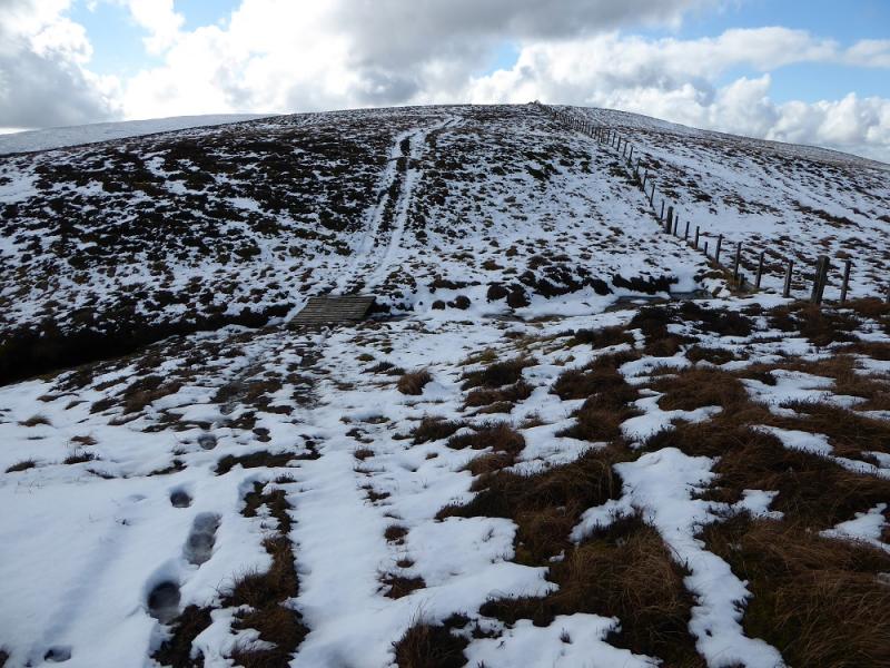
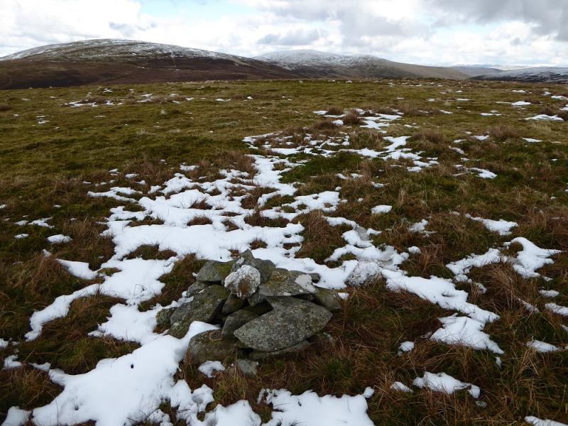
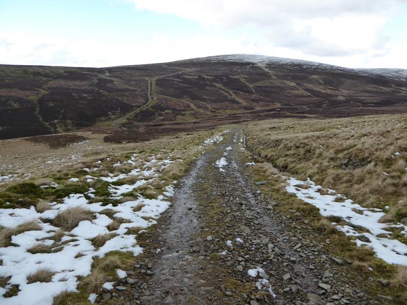
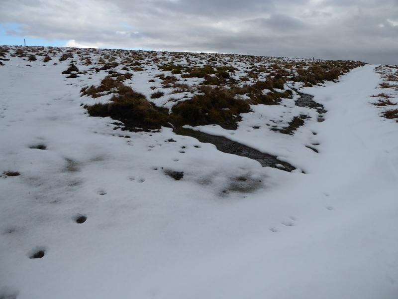
(5) Continue following the wall, now SE and reach a gate. A rough track goes right, roughly S. Lower down it joins another, better track. Follow this to a gate then follow the fence S across some rough ground with little sign of a path. At the first corner, continue ahead up on to the grassy summit plateau where a very small cairn seems to be the summit of Glenleith Fell, 612 m. A more pleasant approach stays on the track after the gate then takes the next, similar, track on the right. This track passes below the summit on its E side.
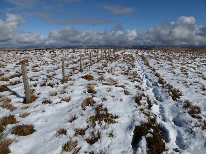
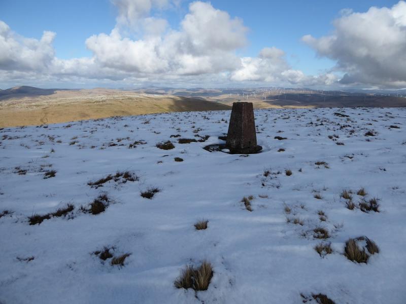
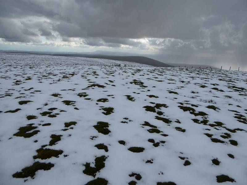
(6) Descend E, faint path, to pick up the track on the E side and follow it to the main track from Scaw'd Law. Follow it down into a deepish gap then up the other side with the highest point being just to the N of where the track passes through the fence on the crest and heads towards Shiel Dodd. Even in clear weather, it is almost impossible to find the highest point and nothing marks it but this is Wedder Law, 672 m. The OS, if correct, has it about 100 m NE of the wall.
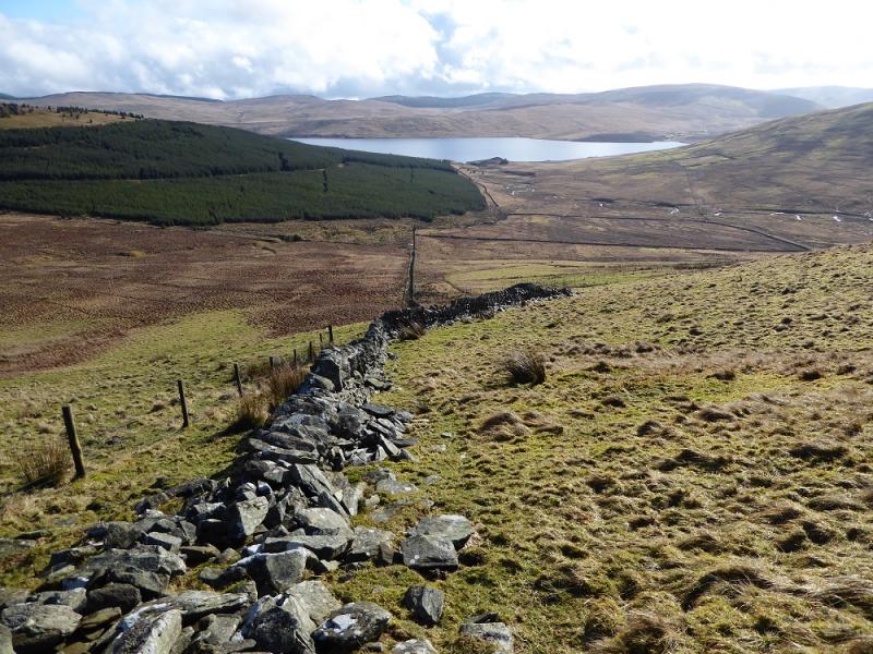
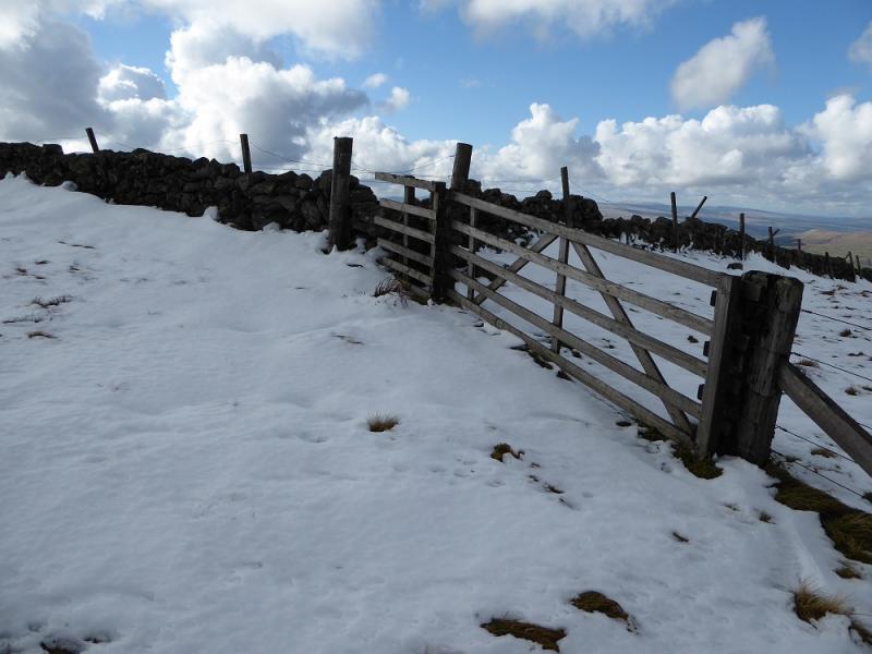
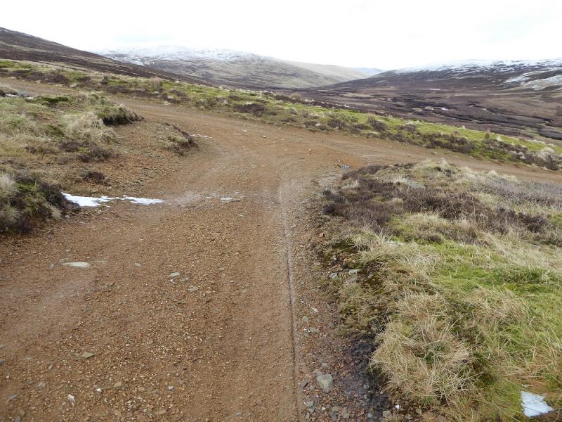
(7) It is best to return to the track heading towards Shiel Dod. This track may not be on your map but it passes to the E of Shiel Dod. Leave it at its highest point and go over Shiel Dod then down its rough NE ridge over Mid Height and Ewe Gair to join the track in the glen and follow it N, shadowing Daer Water. The Carsehope Burn is crossed by a ricketty bridge before the public road is reached at Kirkhope and this is followed back to the start.
Notes
(a) This walk took place on 5th March, 2017.
Photos - Hover over photo for caption. Click on to enlarge. Click on again to reduce.