Get Lost Mountaineering
You are here: Scotland » 00 Galloway and the Borders » Manor & Moffat Hills
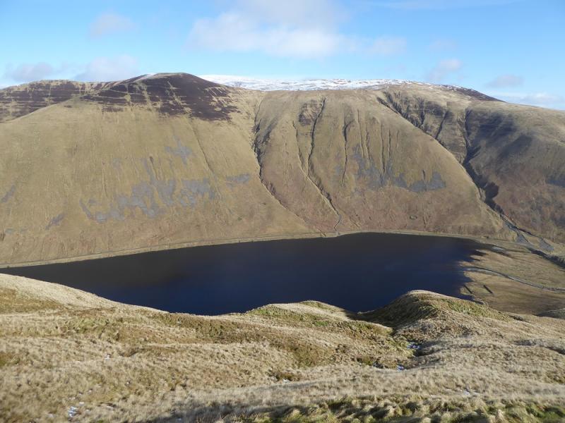
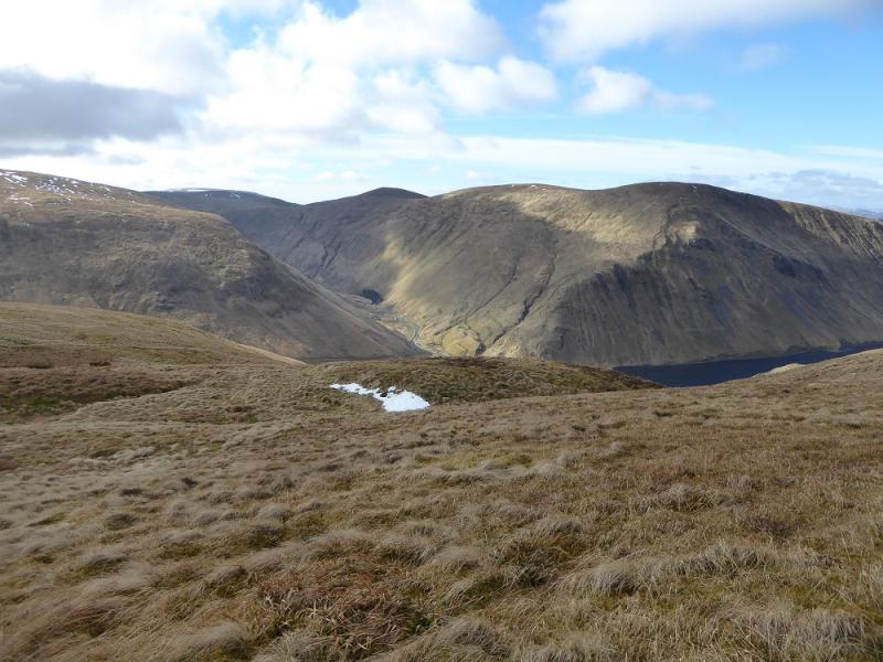
Broad Law & Cramalt Craig from Megget Valley
Broad Law & Cramalt Craig from Megget Valley
Start/Finish
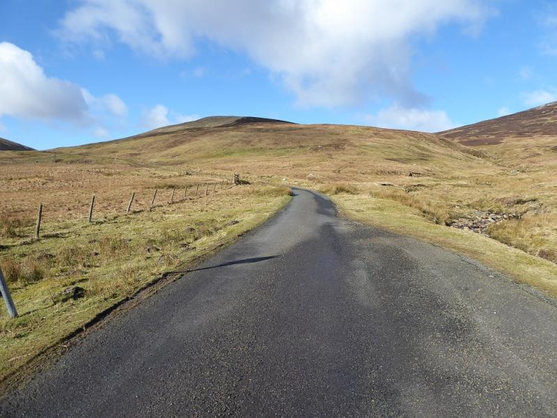
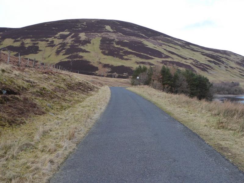
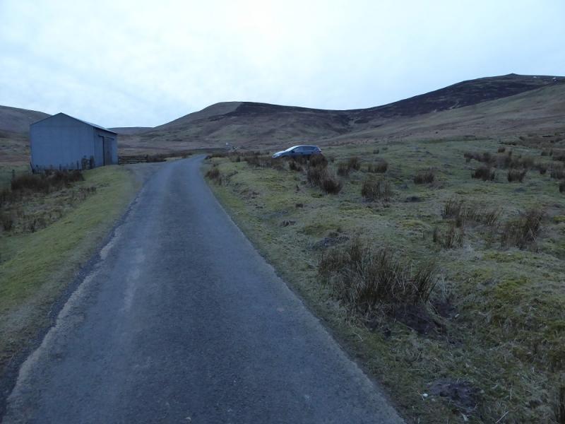
Anywhere on the minor road between the Megget Stone cattle grid and Meggethead. This can be reached from Tweedsmuir on the A 701 between Moffat and Broughton or fromYarrow via the A708 then the minor road past Megget Reservoir. Note that the road from Tweedsmuir may be impassable in winter conditions.
Distance/Time
18 km. About 7 – 8 hours.
Peaks
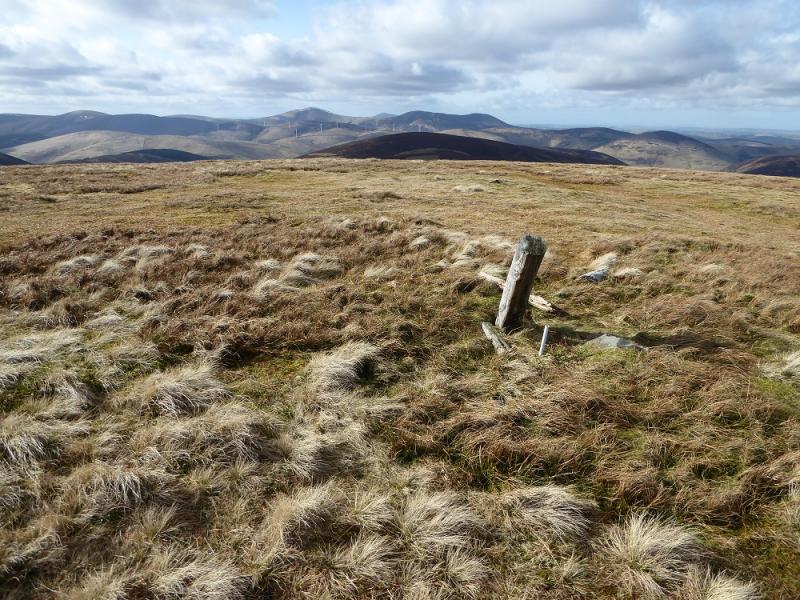
Tallacleuch Head, 690 m,NT 133 218.
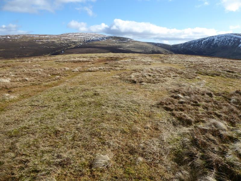
Broad Law, 840 m, NT 146 235.
Hunt Law, 639 m, NT 150 264.
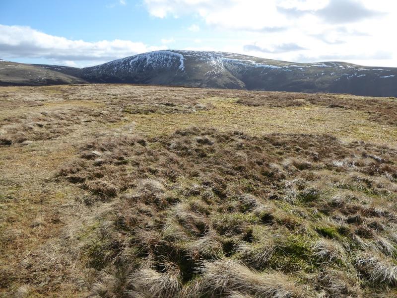
Cramalt Craig, 831 m, NT 168 247.
Clockmore, 641 m, NT 183 228.
Explorer 330: Moffat & St. Mary's Loch
Explorer 336: Biggar & Broughton (both maps needed)
Introduction
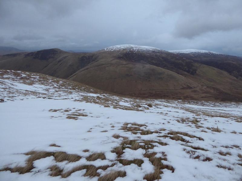
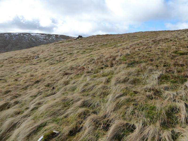
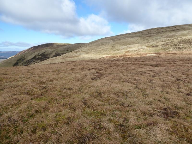
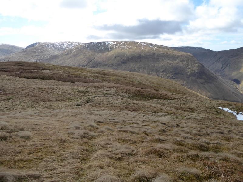
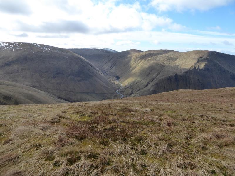
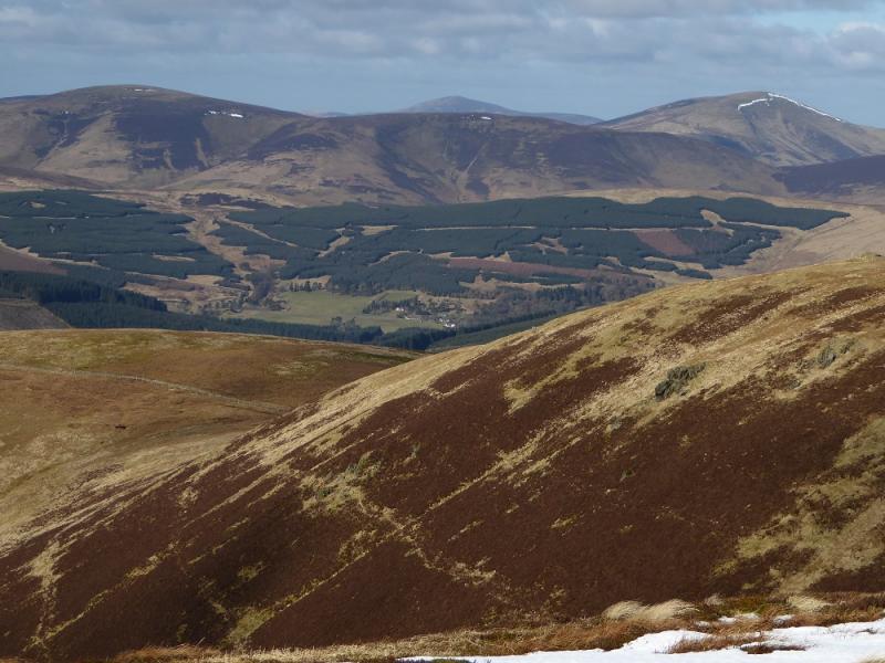
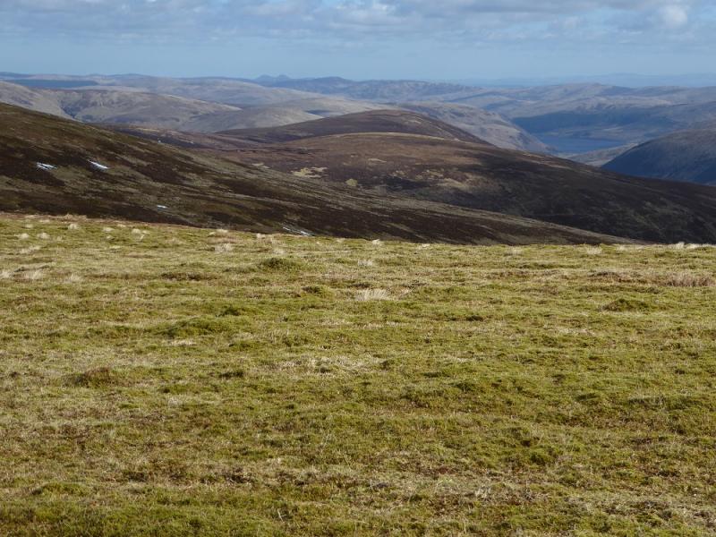
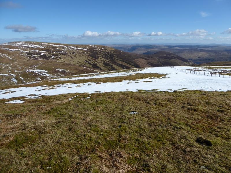
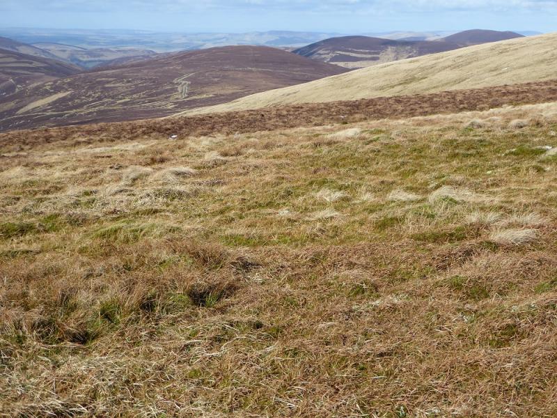
This is a fairly strenuous walk with steep descent at the end. There are excellent views to other hills especially Molls Cleuch Dod, Erie Hill, Garelet Hill and Culter Fell. The inclusion of Hunt Law adds a significant detour of well over an hour.
Route
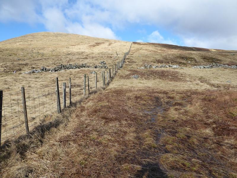
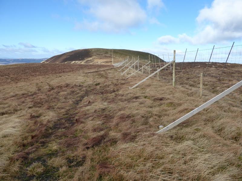
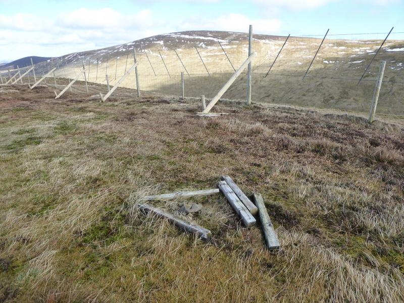
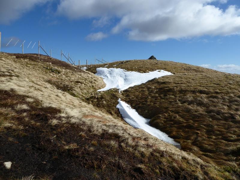
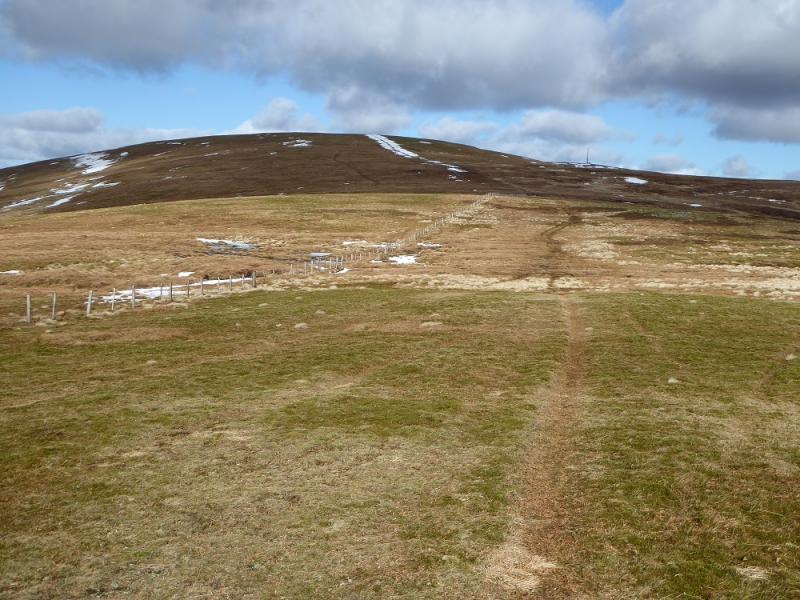
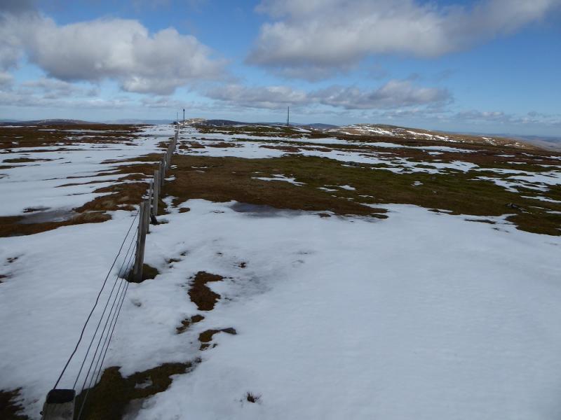
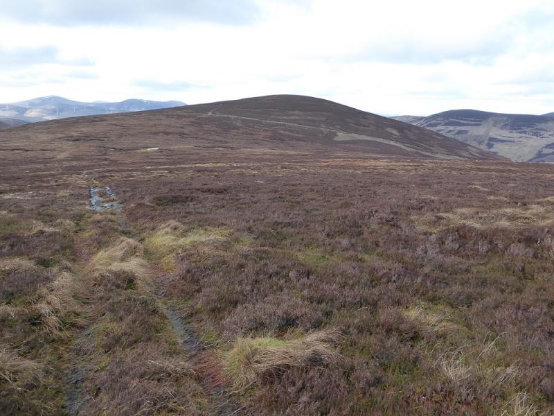
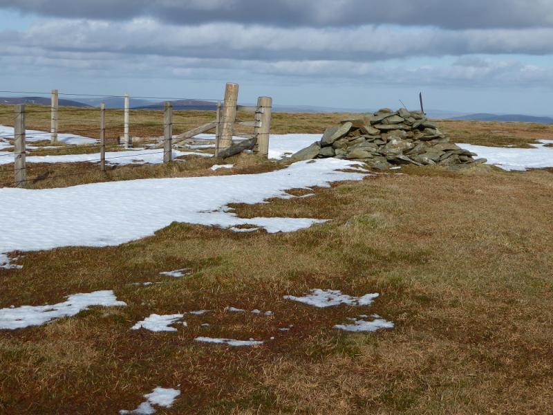
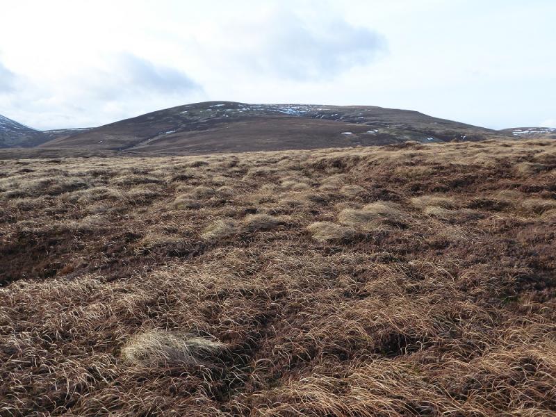
(1) Walk up the road to the cattle grid near the Megget Stone then follow the fence up on to Fans Law. Continue towards Cairn Law. After a fllattish section, look a faint path traversing off left and follow this to meet the deer fence going W from Cairn Law. Follow the fence keeping to its left up to its highest point, keeping to its left, to reach a tiny cairn which is the summit of Tallacleuch Head, 690 m.
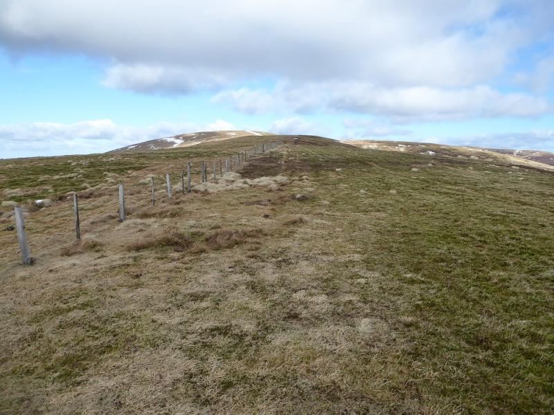
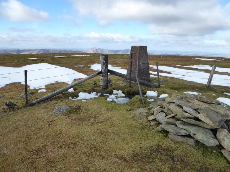
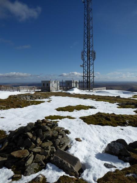
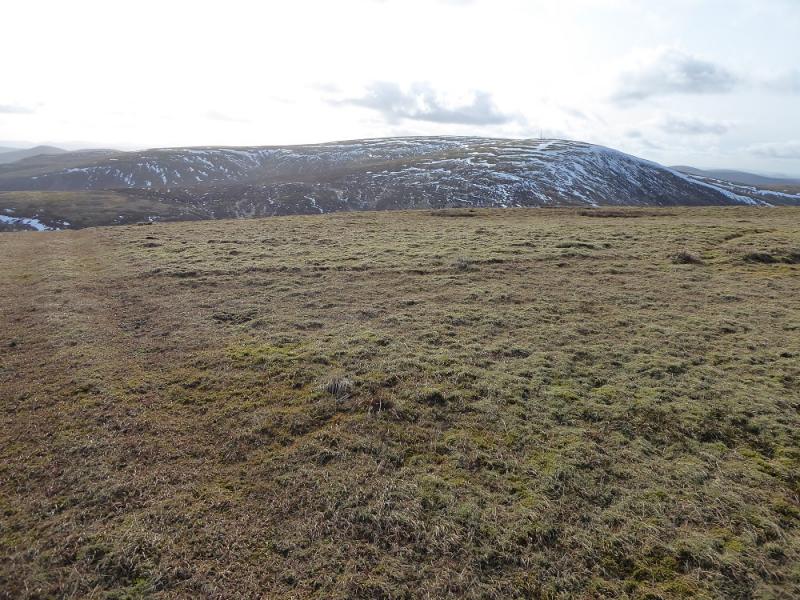
(2) Retrace along the fence to reach the fence going N from the Shepherd's Cairn. Follow this up Cairn Law then for another 2 km to reach the trig point which is the summit of Broad Law, 840 m.
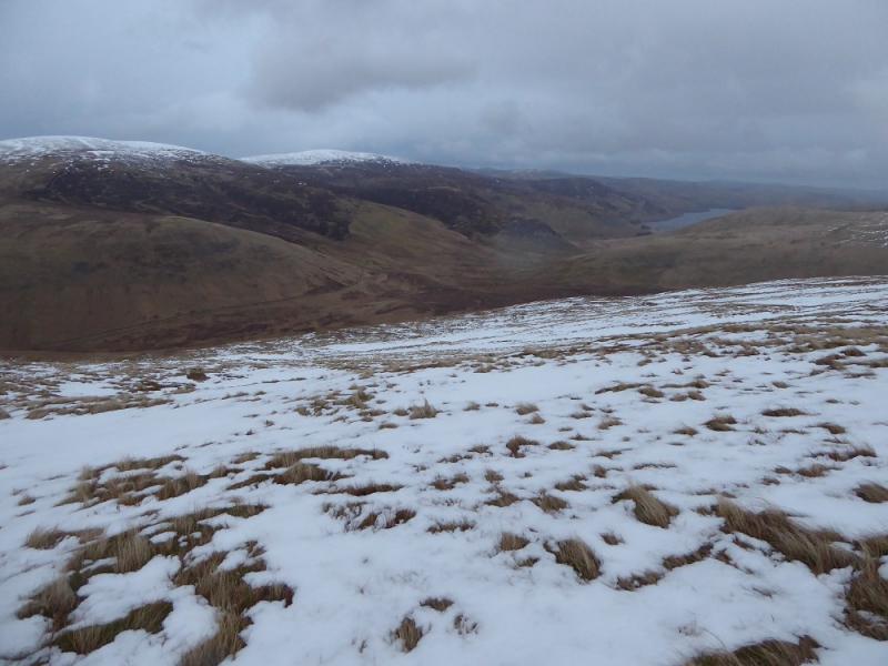
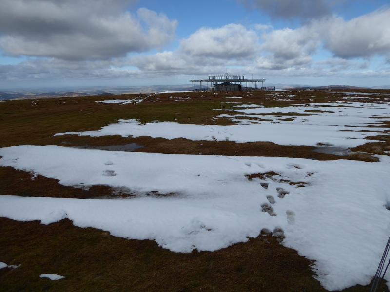
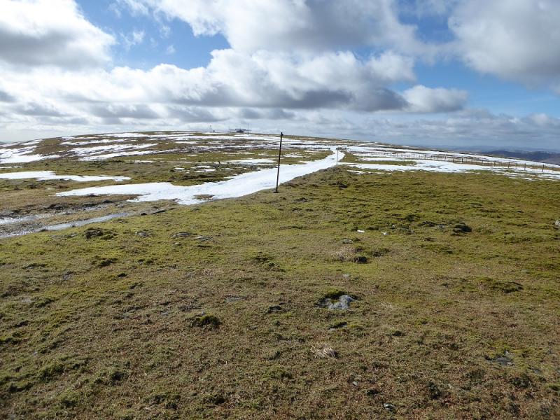
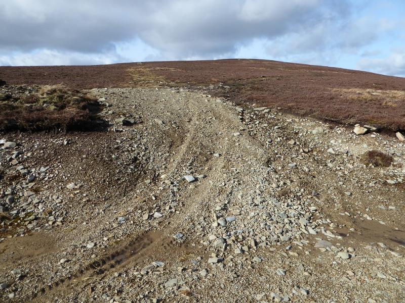
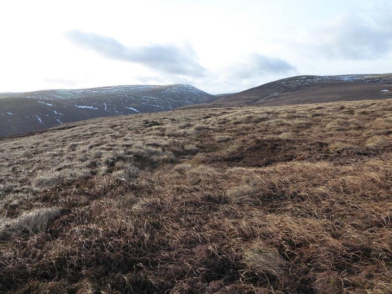
(3) Follow the fence NE to the main aerial then down to a col. Continue up the other side until a faint path can be seen forking off left. Follow this until it reaches a grassy ATV track which comes from the fence up Cramalt Craig. Follow the ATV track towards the major track below Hunt Law. The ATV track eventually peters out so pick a way over the rough ground to reach the major track below Hunt Law. Follow this to its highest point where a track goes left and a path forks right from it almost immediately. Follow the path up to a tiny cairn which is the summit of Hunt Law, 639 m.
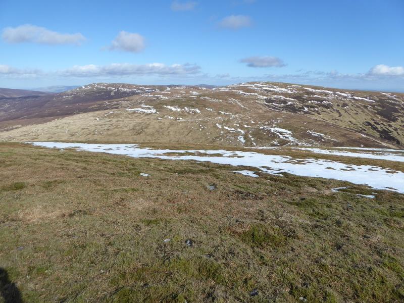
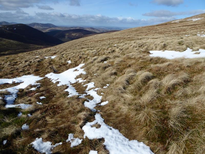
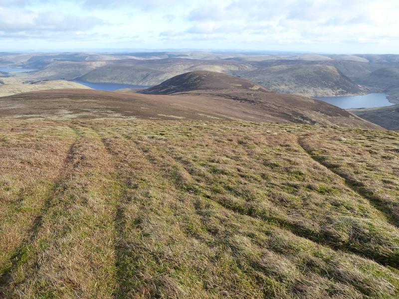
(4) Retrace to the major track, Cross over and follow an ATV track, faint at times, up the NW ridge of Cramalt Craig to reach the fence from the col to Broad Law. Follow the fence up to a corner where a medium cairn marks the summit of Cramalt Craig, 831 m.
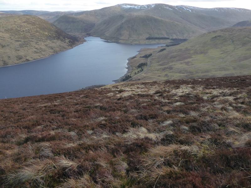
(5) A grassy ATV track runs roughly S from the summit. Follow this down the ridge towards Pykestone Knowe which is a collection of peat hags. These are best avoided on their N side to reach the dip below Clockmore. A faint path leads up to a small heathery plateau where there is no cairn but the highest point is the summit of Clockmore, 641 m.
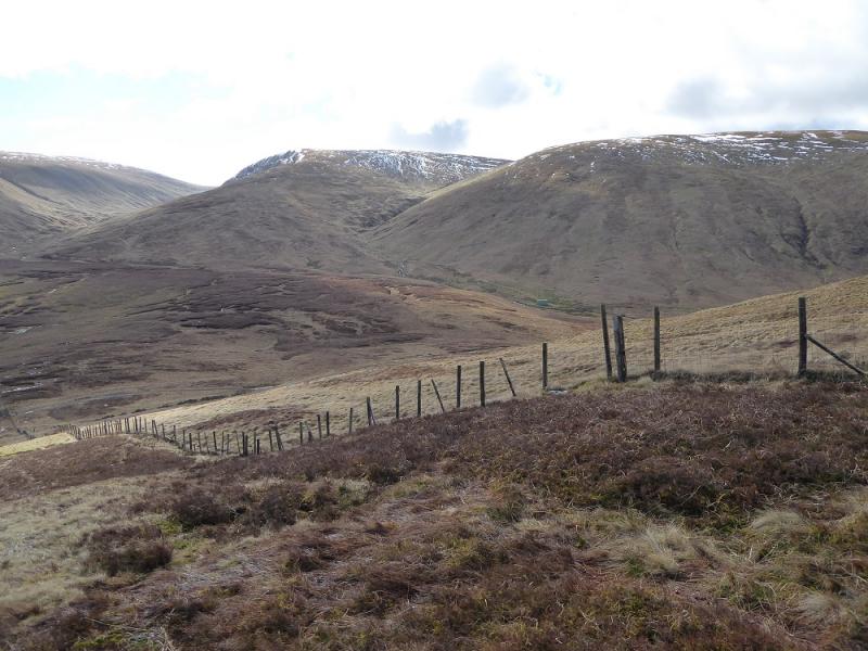
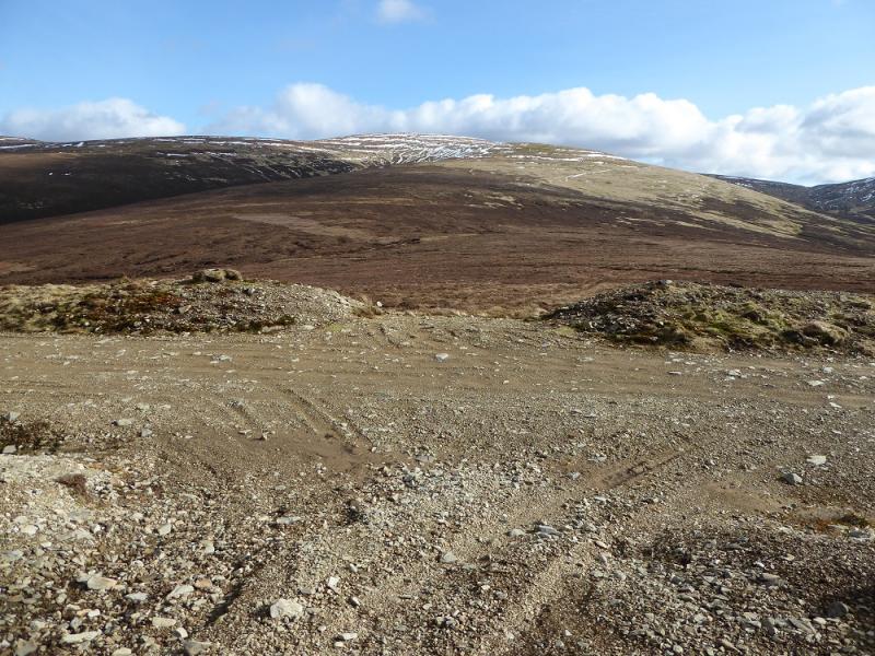
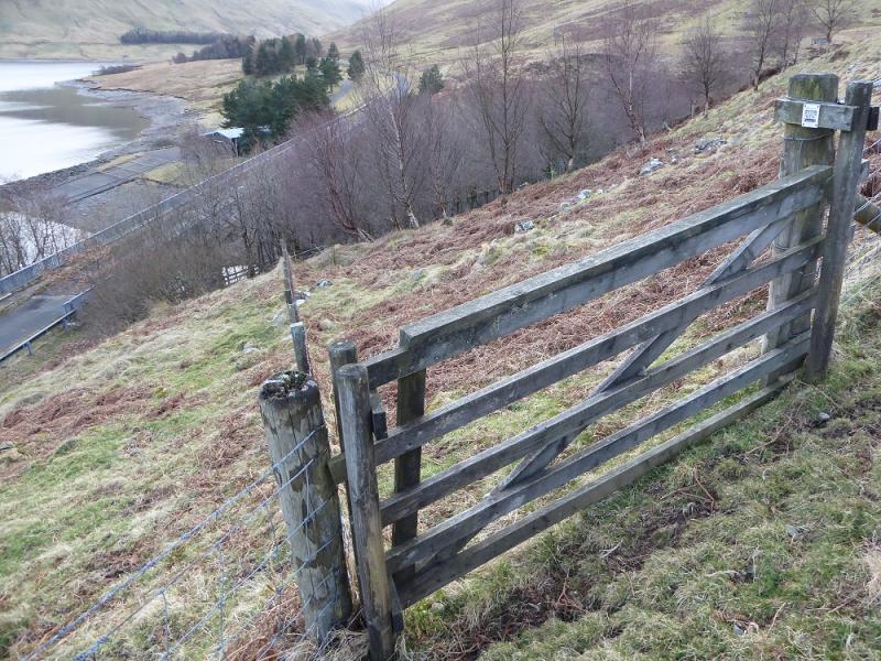
(6) Descend carefully S down steep slopes which are a mixture of grass and heather. There is only a hint of an occasional path. Reach a barbed wire fence above the road and follow it W to reach the road by the bridge after passing through 2 gates. Walk back along the road to the start.
Notes
(a) This walk took place on 8th March, 2017, and about 15 years earlier.
Photos - Hover over photo for caption. Click on to enlarge. Click on again to reduce.