Get Lost Mountaineering
You are here: Scotland » 00 Galloway and the Borders » Manor & Moffat Hills
Pykestone Hill, Middle Hill, Drumelzier Law & Logan Head from Drumelzier
Pykestone Hill, Middle Hill, Drumelzier Law & Logan Head
from Drumelzier
Start/Finish
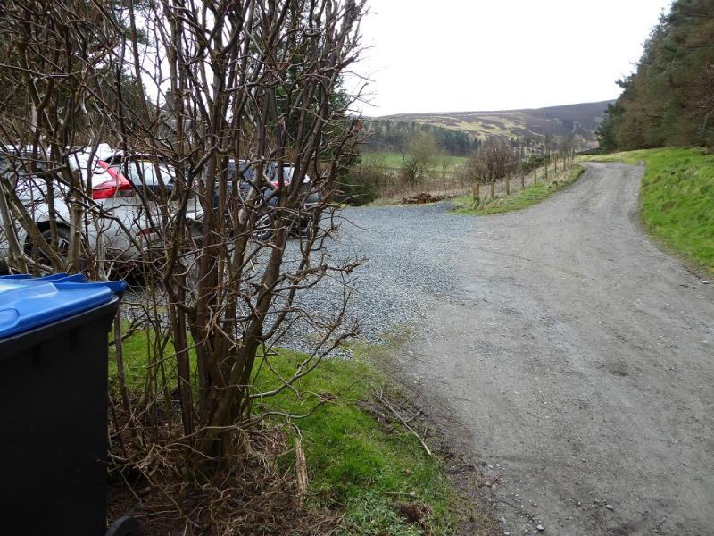
Small car park at end of minor road in Drumelzier village. This minor road starts almost opposite the telephone box and has a post box (on a post) at its start. Drumelzier is on the B712 which leaves the A701 at Rachan Mill, about a mile south of Broughton. At its other end, the B712 leaves the A72 about 4 miles west of Peebles
Distance/Time
19 km. About 6 - 7 hours.
Peaks
The Scrape, 719 m, NT 176 324.
Pykestone Hill, 737 m,NT 173 312.
Middle Hill, 716 m, NT 159 294.
Taberon Law, 636 m, NT 146 288.
Drumelzier Law, 668 m,NT 149 312. OS Explorer sheet 336: Biggar & Broughton.
Introduction
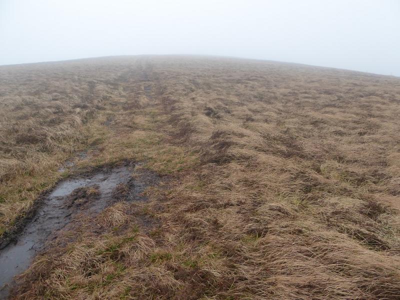
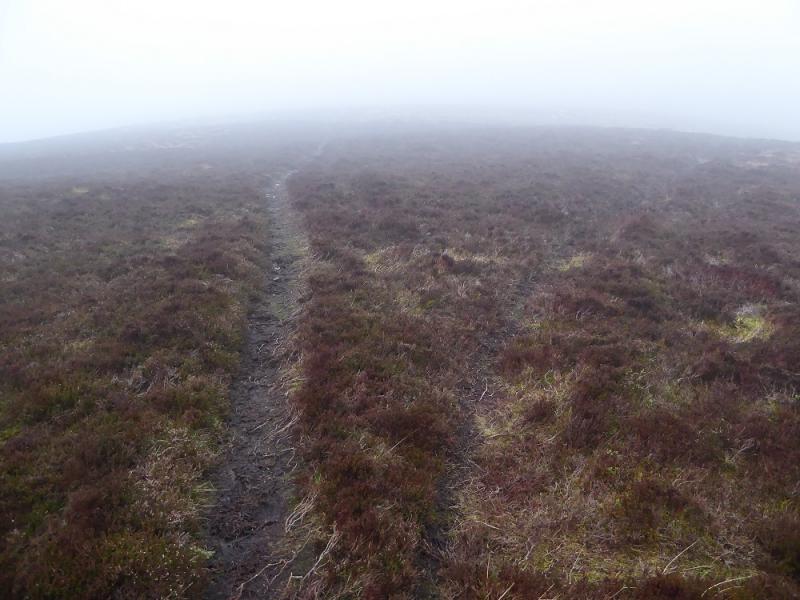
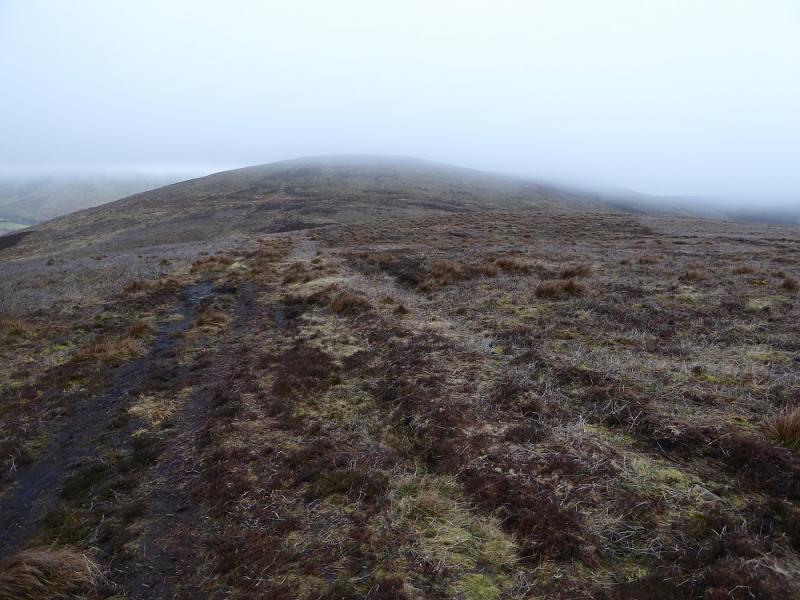
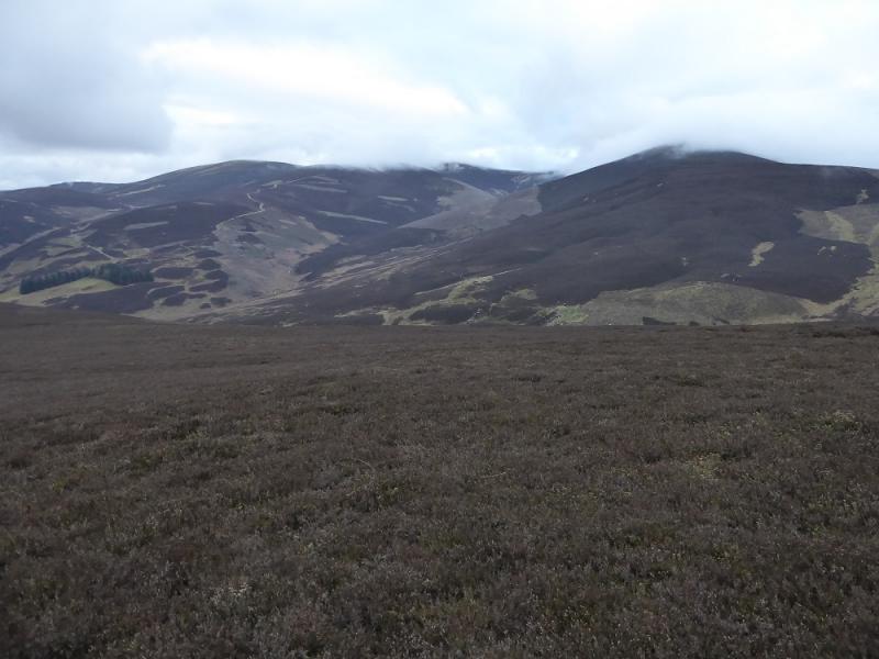
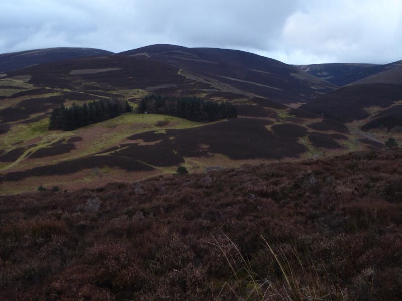
This is a high moorland walk with good views to the Culter Fells and the Broad Law range. There are paths/tracks most of the way and, unusually for the Southern Uplands, every summit is marked, just! Unfortunately, there is some backtracking and there seems to be a mistake on the OS map on Taberon Law.
Route
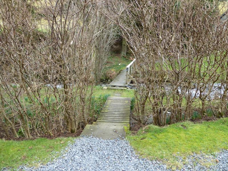
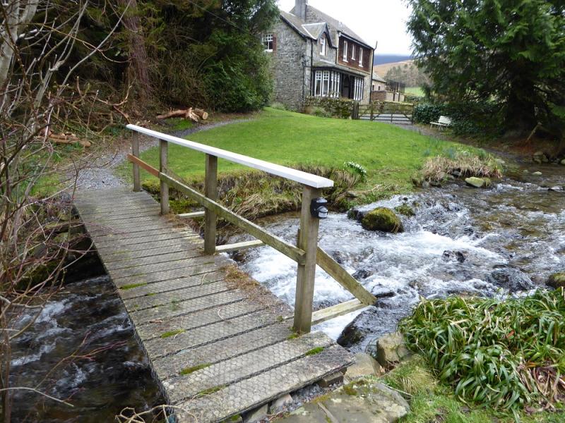
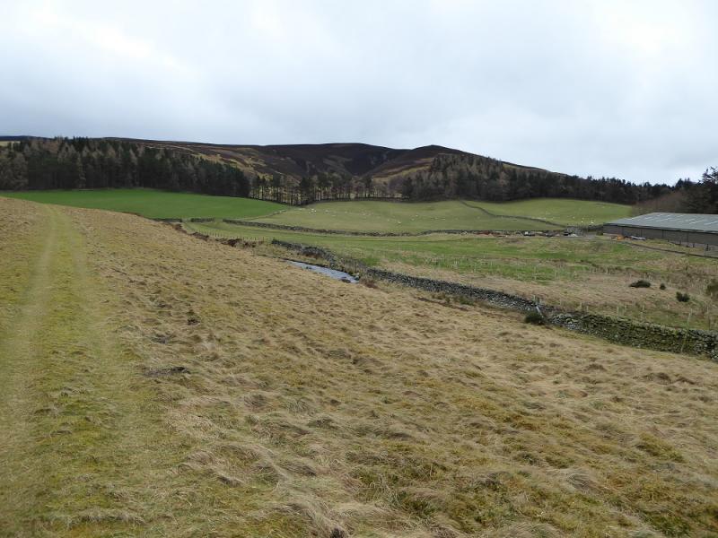
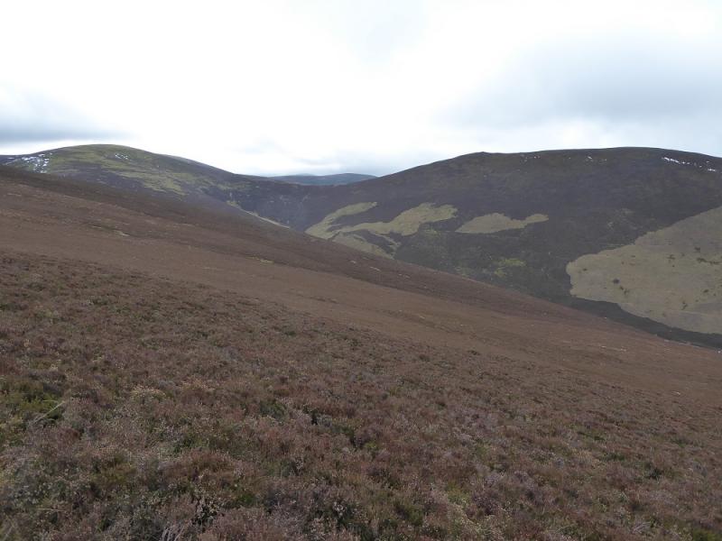
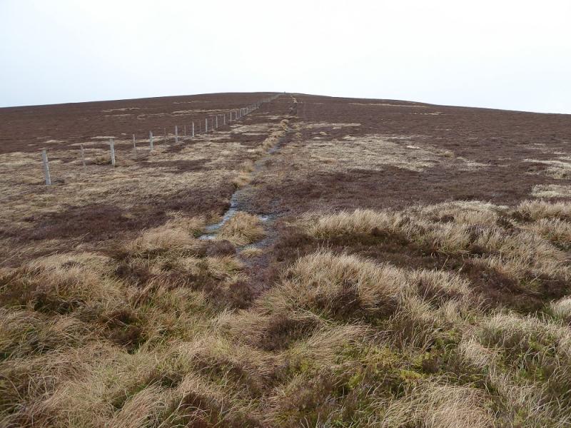
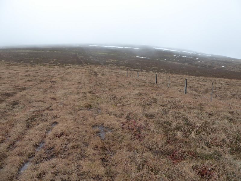
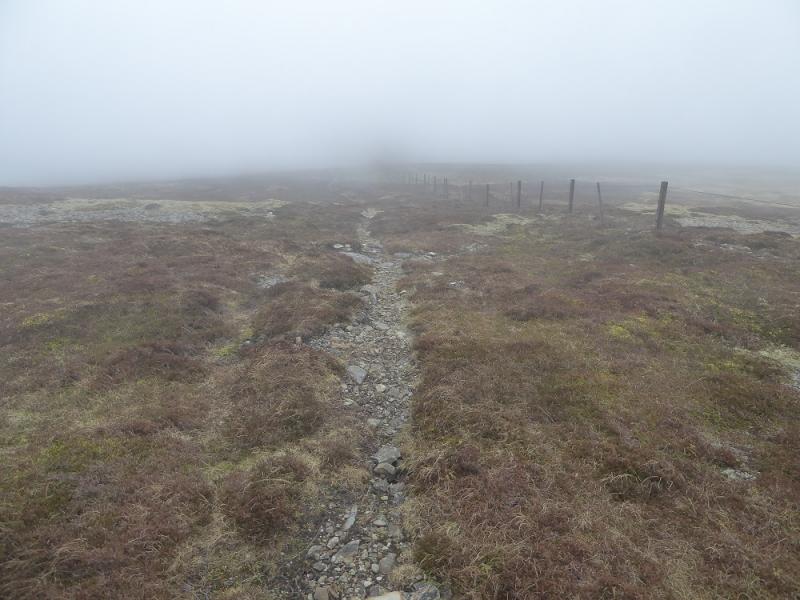
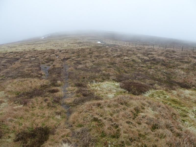
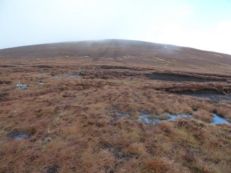
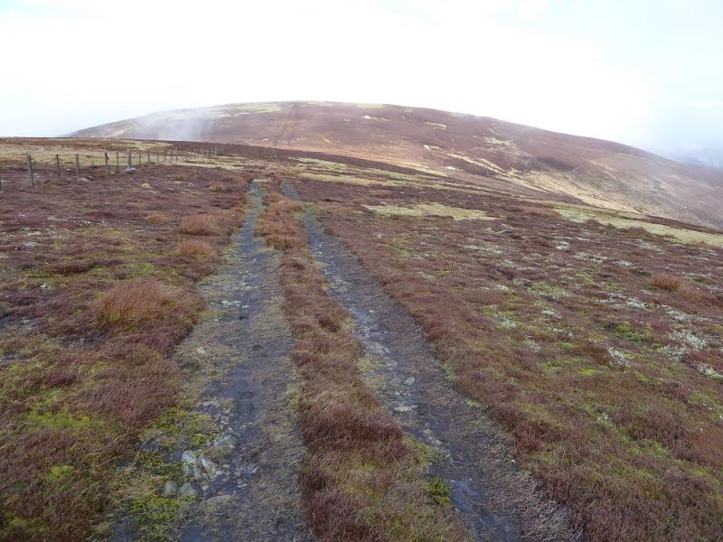
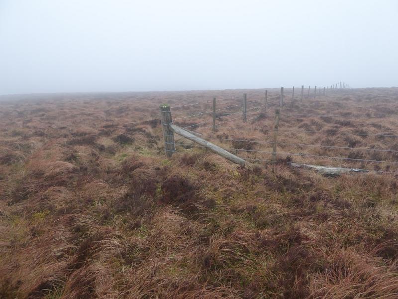
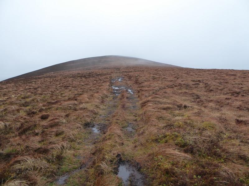
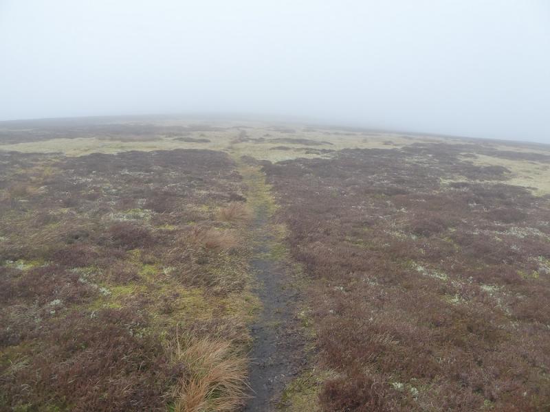
(1) Walk up the track towards the large barn where the track goes left, following the stream. Follow the track up. After passing between two small conifer woods, take the right option. Further take the left option which is more stony. Follow this up on to Den Knowes and head towards the N side of Pykestone Hill then contour across to the fence along Broad Moss which is the col between Pykestone Hill and The Scrape. Follow the fence N up to a fence junction where a small cairn marks the summit of The Scrape, 719 m.
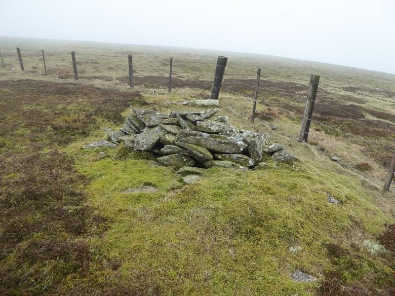
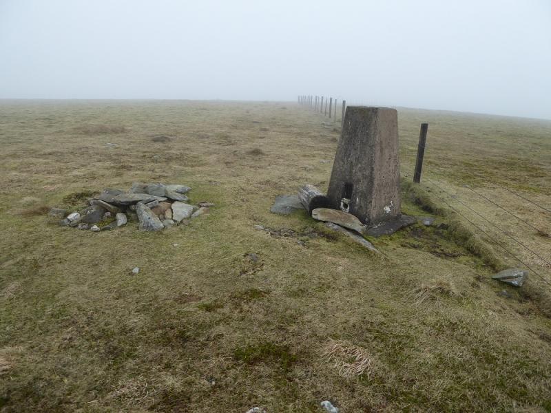
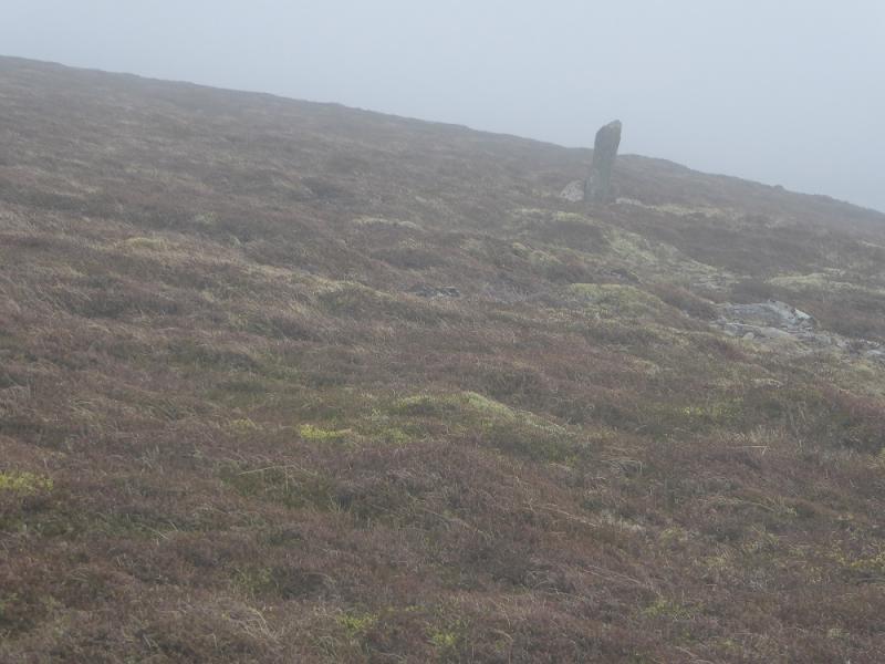
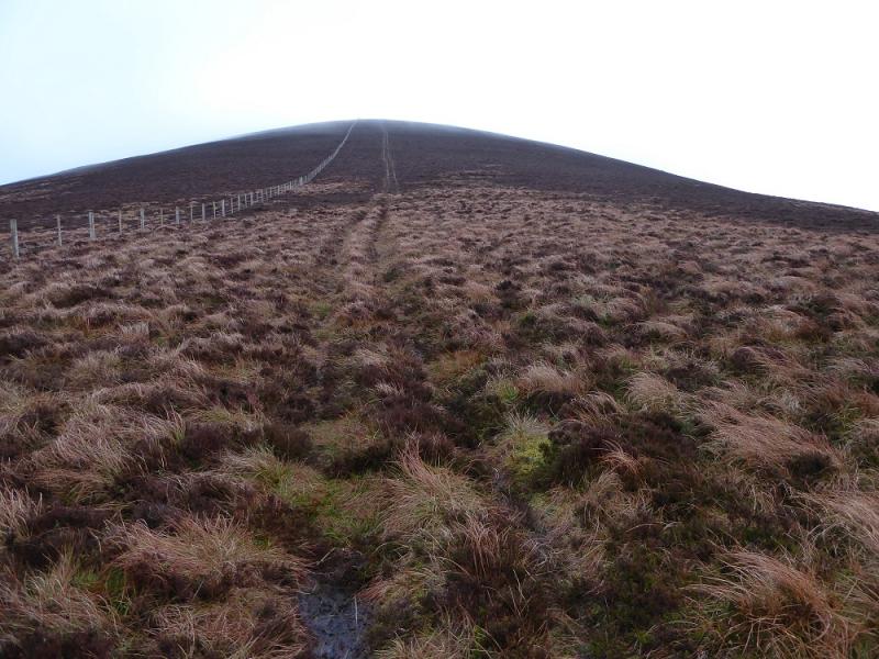
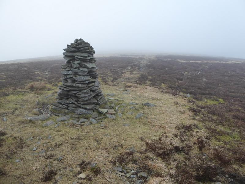
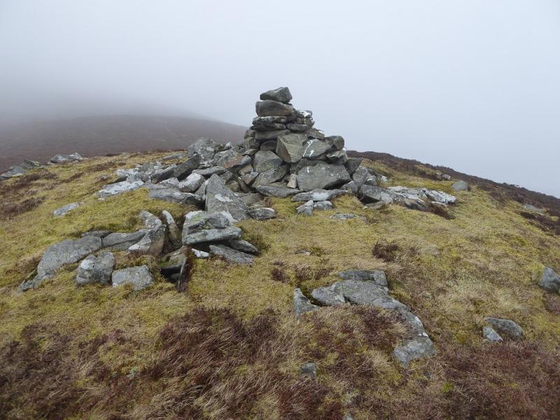
(2) Retrace to Broad Moss then continue following the fence uphill. Pass a Shepherd's Cairn on a fence corner then soon reach the trig point and small cairn which is the summit of Pykestone Hill, 737 m. There is a finger cairn about 100m ESE.
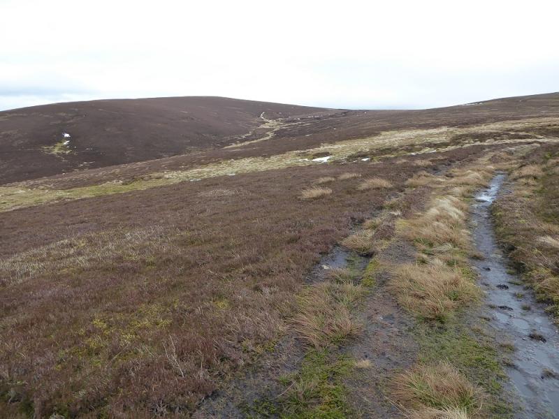
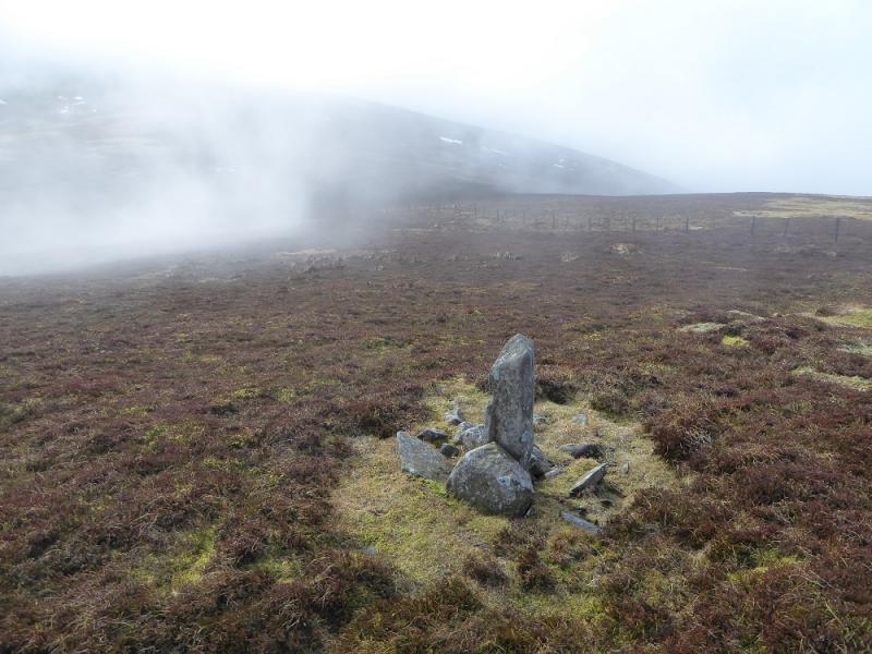
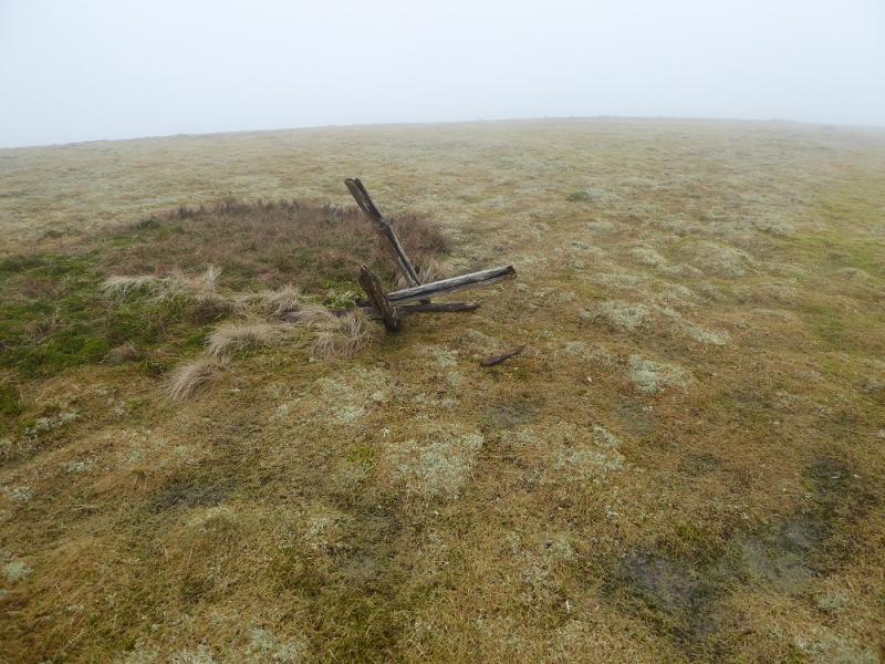
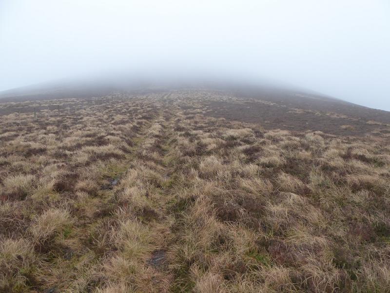
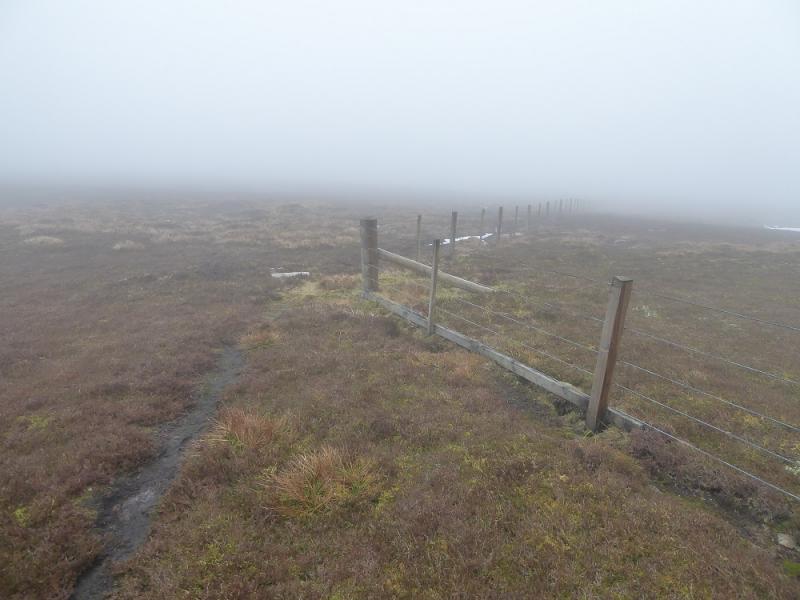
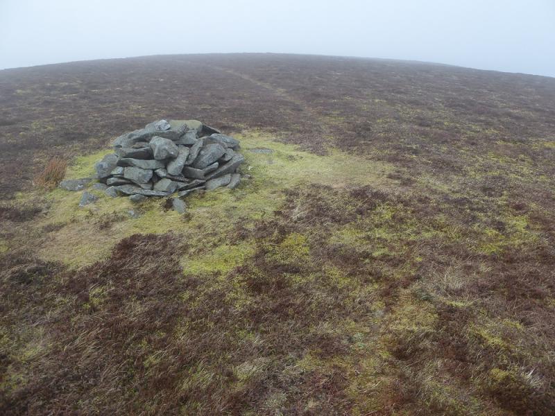
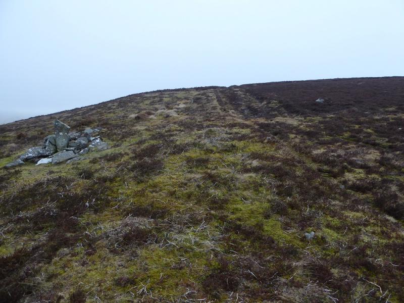
(3) Continue following the fence S, for about 2 km, over the minor top of Grey Weather Law to reach the fence junction of Long Grain Knowe. Follow the fence W then SW to reach a few old fence posts seemingly arranged to be a makeshift cairn, about 50 m from the fence, which seems to be the summit of Middle Hill, 716 m.
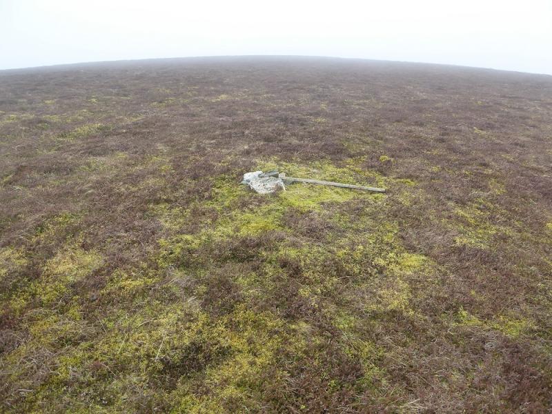
(4) Continue following the fence, WSW. The OS map of 2001shows the fence going up on to Taberon Law but fails to show a right angle turn to the right. However, an ATV track takes over and leads to a tiny cairn which is the summit of Taberon Law, 636 m. The fence, meanwhile, lies to the north of the ATV line.
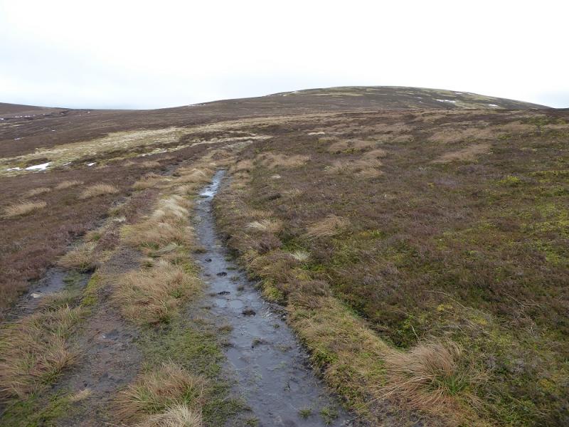
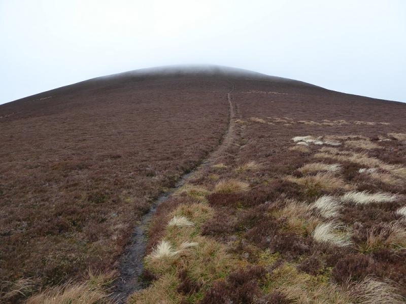
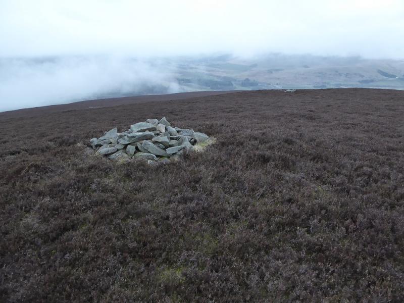
(5) Retrace back to Middle Hill and continue to the corner before Long Grain Knowe. Walk N along the almost level crest to reach the tall Shepherd's cairn. After this, keep to the left of the crest so as not to miss the descent NW down to the col which starts about 200 m after the cairn, A reasonable path leads down to the col then up the SE ridge of Drumelzier Law. When the ground levels out, there is a cairn. Keep going, with a little more gentle ascent, to reach the small cairn which is the summit of Drumelzier Law, 668 m.
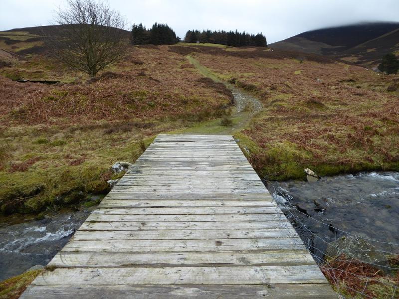
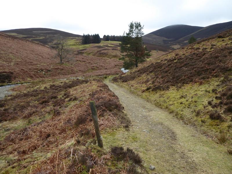
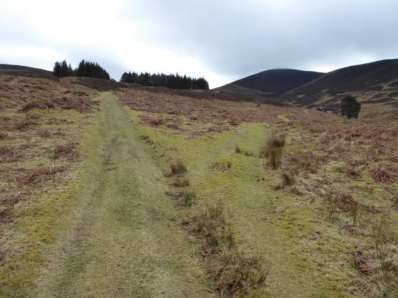
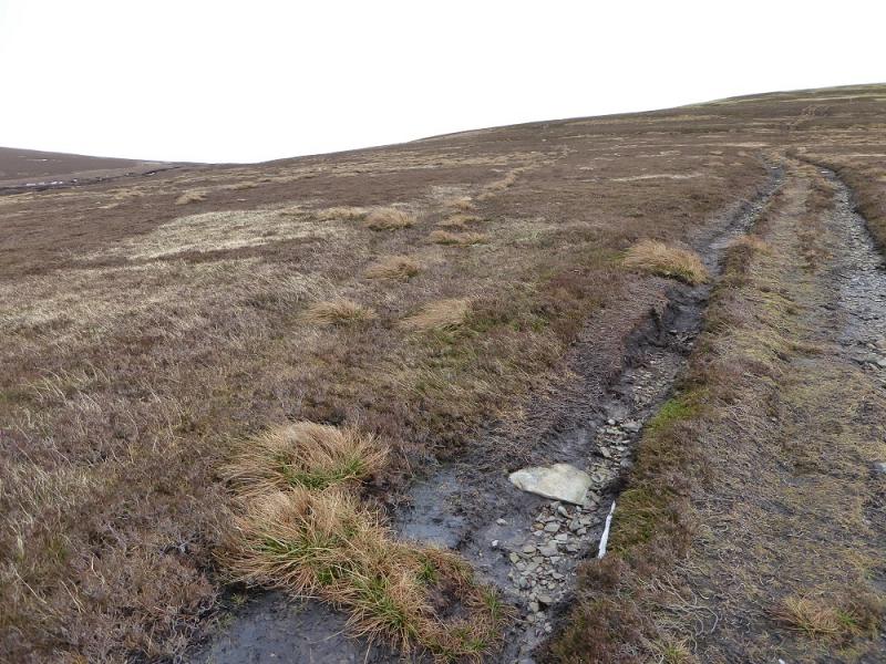
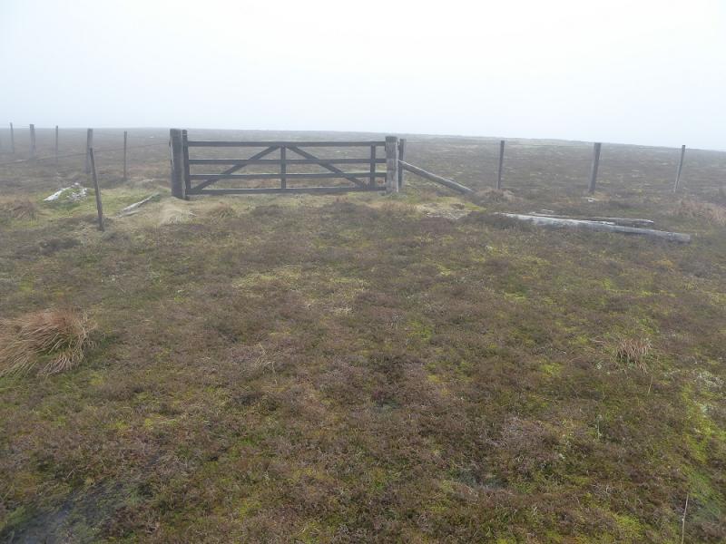
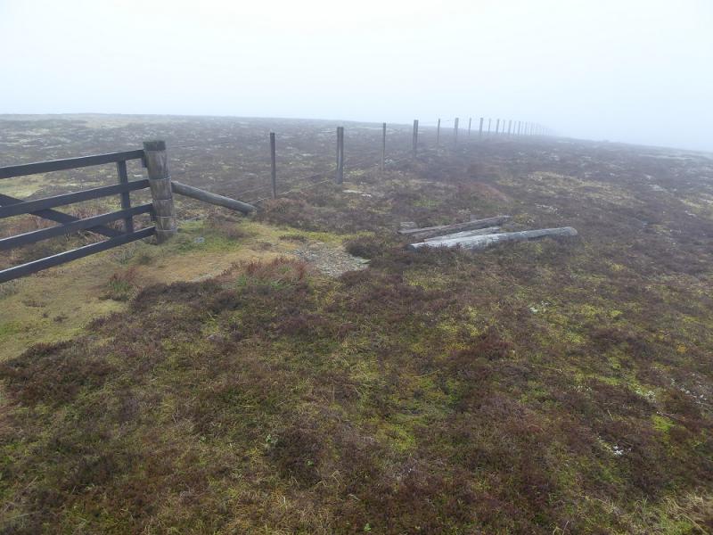
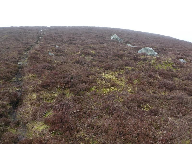
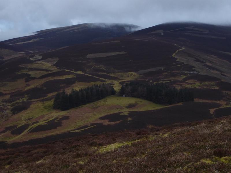
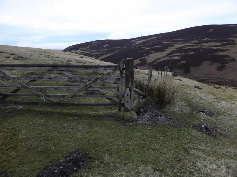
(6) Continue on the path descending NW. Lower down the path splits with the left fork going around to Logan Head. Take this and follow the path/ATV track down then up and over Point 514 after which the ridge curves around to the N and on to Logan Head where there are two small cairns. The path/ATV track is faint for a short time but descends NE down Finglen Rig. Lower down the ATV track curves around to the right and converges with a fence with a gate reached at a corner. Go through the gate and follow the track down to the outward track.
Notes
(a) This walk took place on 11th March, 2017 and about 15 years earlier.
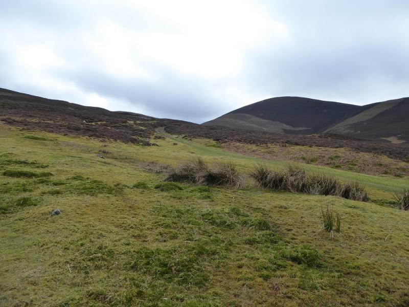
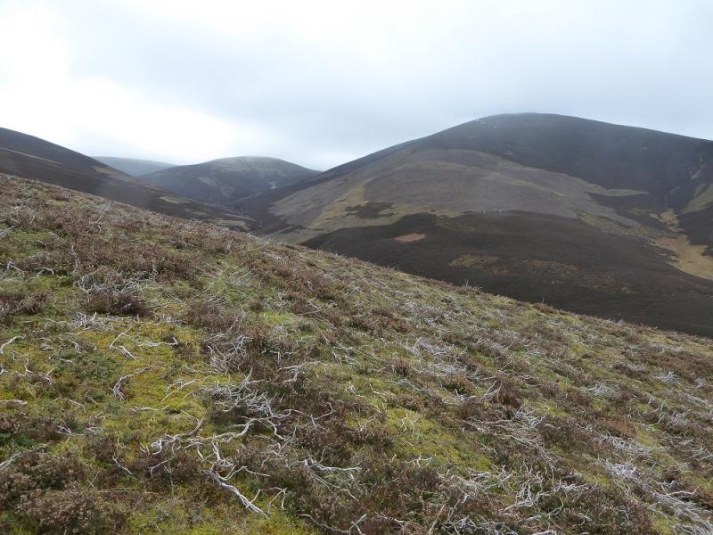
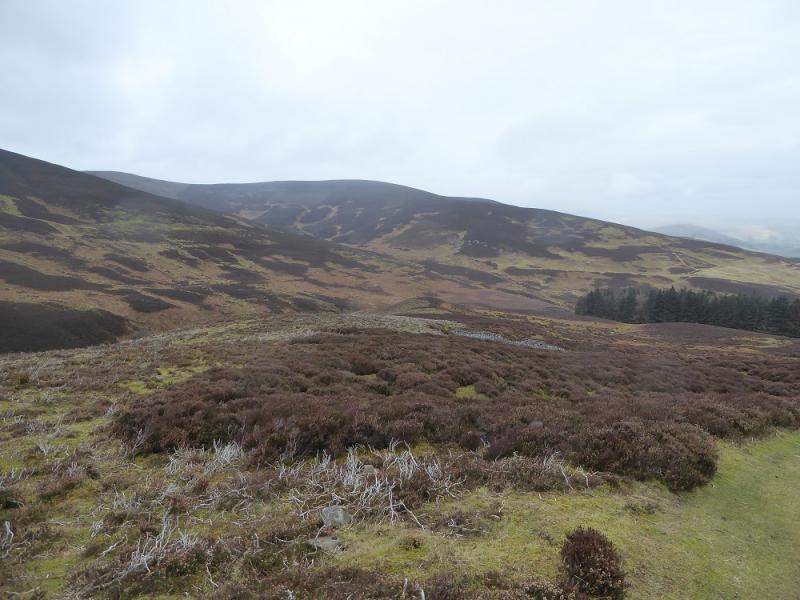
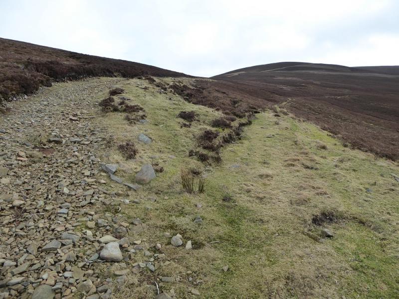
Photos - Hover over photo for caption. Click on to enlarge. Click on again to reduce.