Get Lost Mountaineering
You are here: Scotland » 00 Galloway and the Borders » Manor & Moffat Hills
Hartfell Spa, Hart Fell, Whitehope Heights & Strait Step from Annandale
Hartfell Spa, Hart Fell, Whitehope Heights & Strait Step
from Annandale
Start/Finish
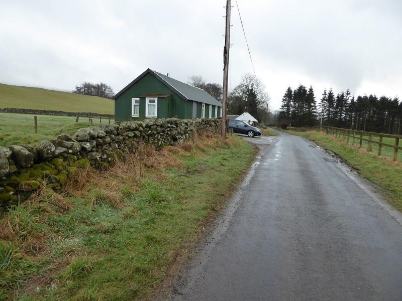
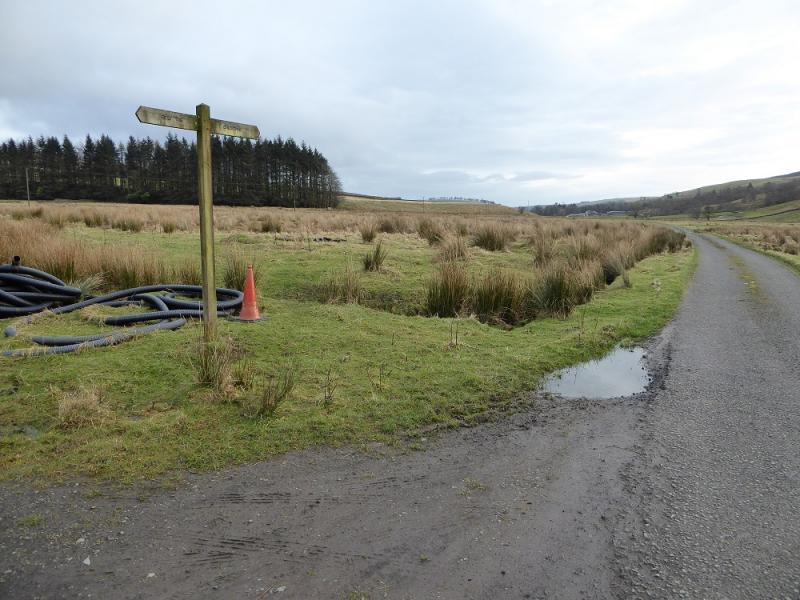
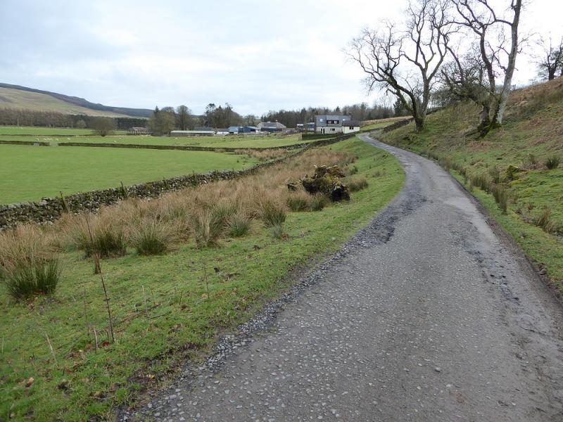
About 3 miles up Annandale. There is no car park but it seems possible to park in front of a green corrugated iron house provided no gates are blocked. There is also some rough verge parking nearby. From the centre of Moffat take the A701 for Edinburgh. Whilst still in Moffat, go past the large church, on the right, to reach a small roundabout. Fork right here, Beech Grove, and continue for about 3 miles up Annandale. The route starts at a sign about 100 m after the green building.
Distance/Time
16 km. About 6 hours.
Peaks
Hart Fell, 808 m, NT 113 135.
Whitehope Heights, 637 m, NT 095 139. Explorer 330: Moffat & St. Mary's Loch
Introduction
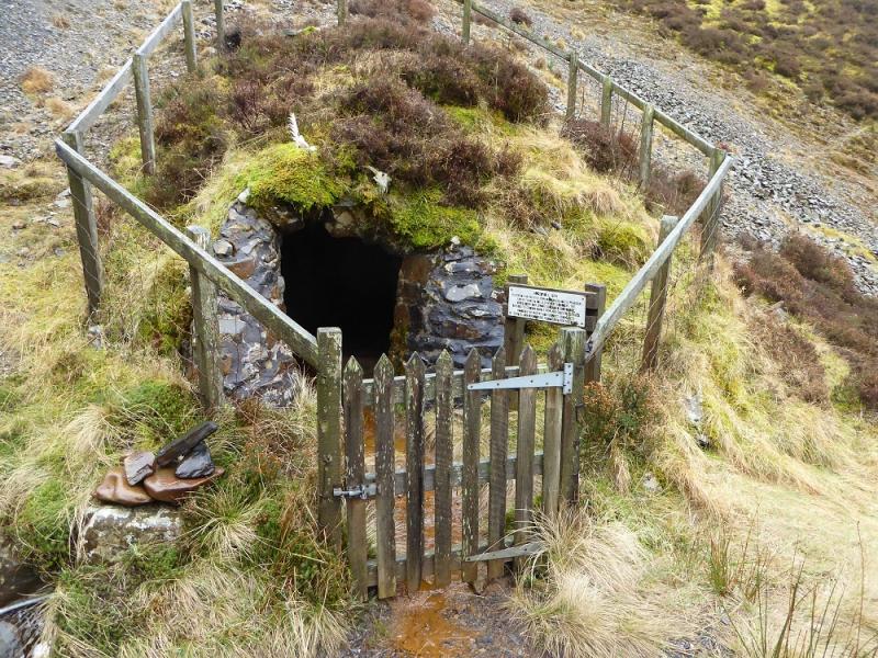
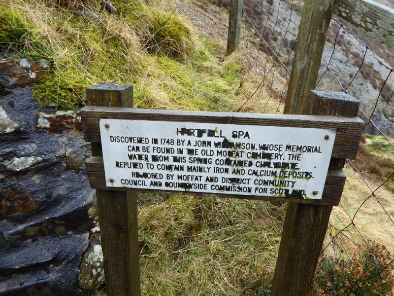
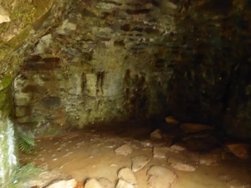
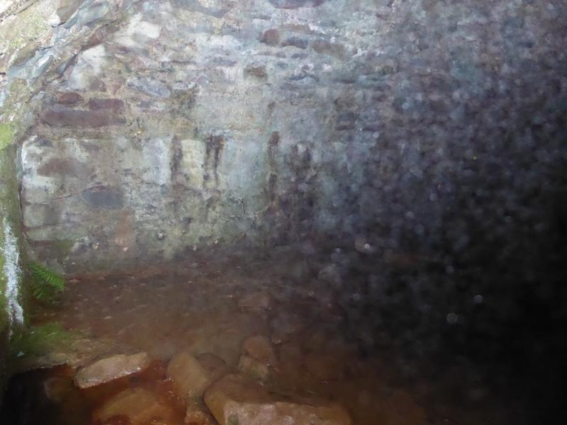
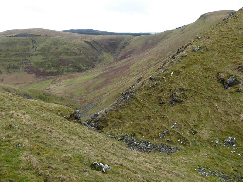
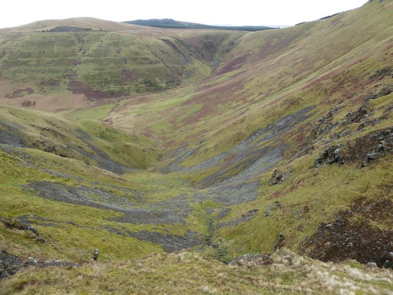
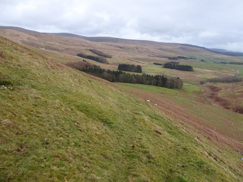
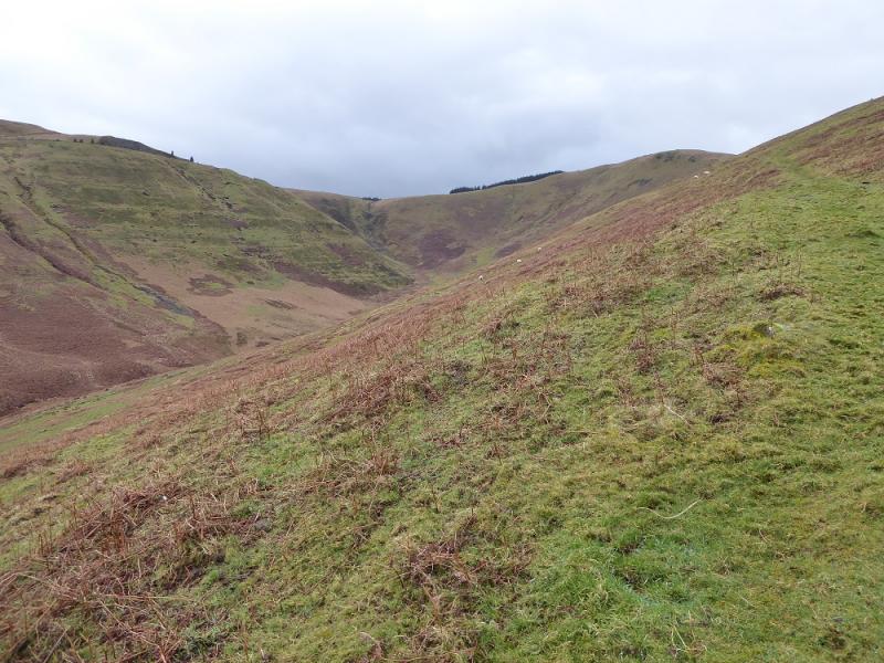
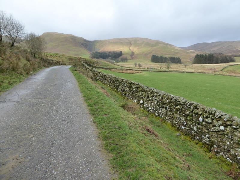
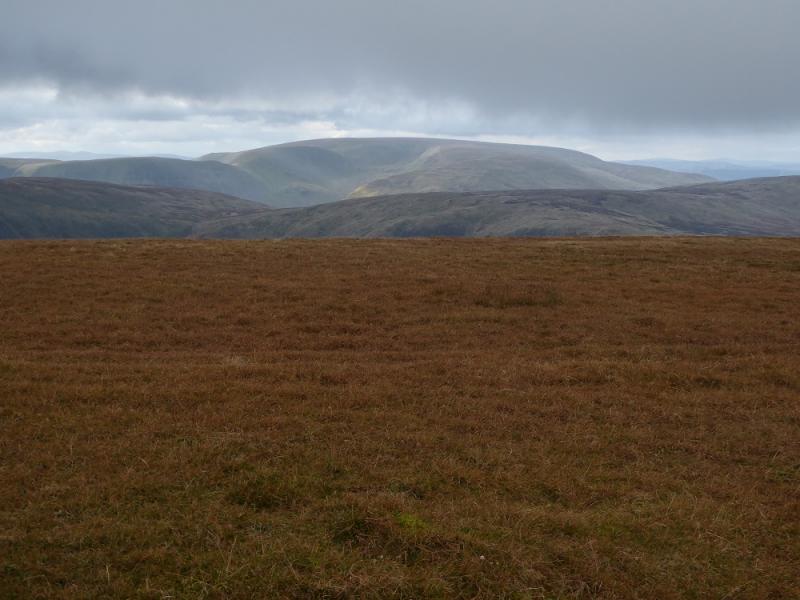
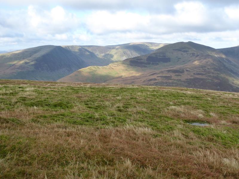
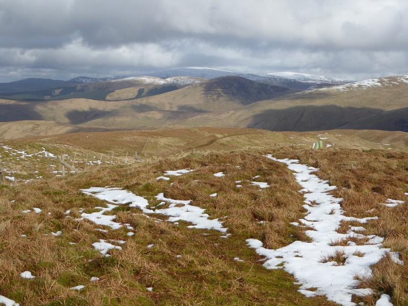
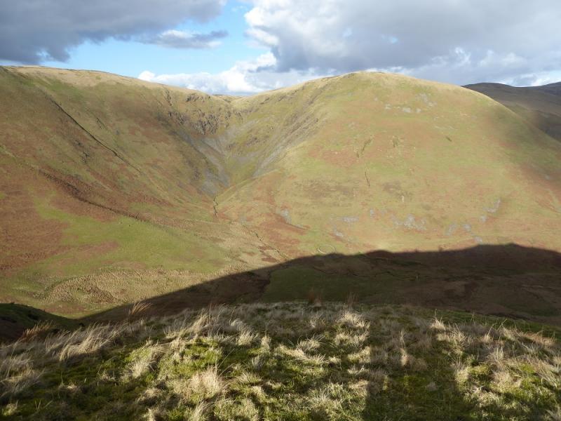
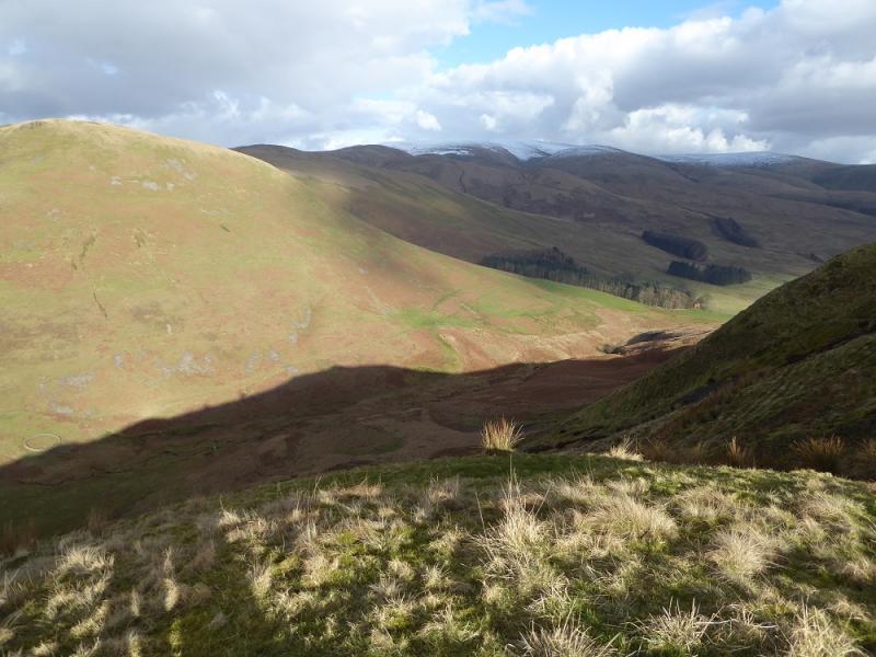
Whitehope Heights is a Donald and a distant outlier of Hart Fell. On its own, it is most conveniently climbed from the A701 above the Devil's Beef Tub which starts one at an altitude of just under 400 m. This route combines it with the Corbett of Hart Fell which is ascended by, arguably, its best route. In clear weather, there are excellent views to the White Coomb range. The ascent of the Hartfell Spa burn is interesting especially at Hart Fell Spa. The return uses the Strait Step path which is a traverse across steep slopes but offers excellent views into the Devil's Beef Tub.
Route
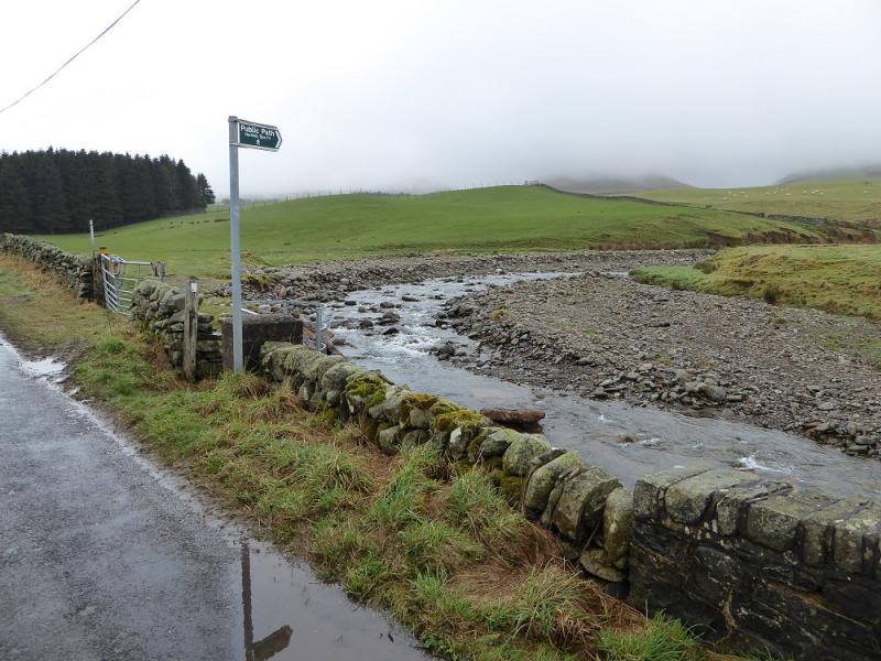
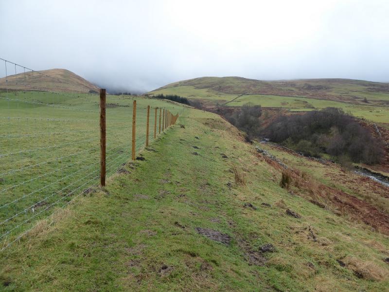
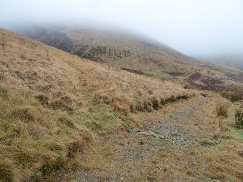
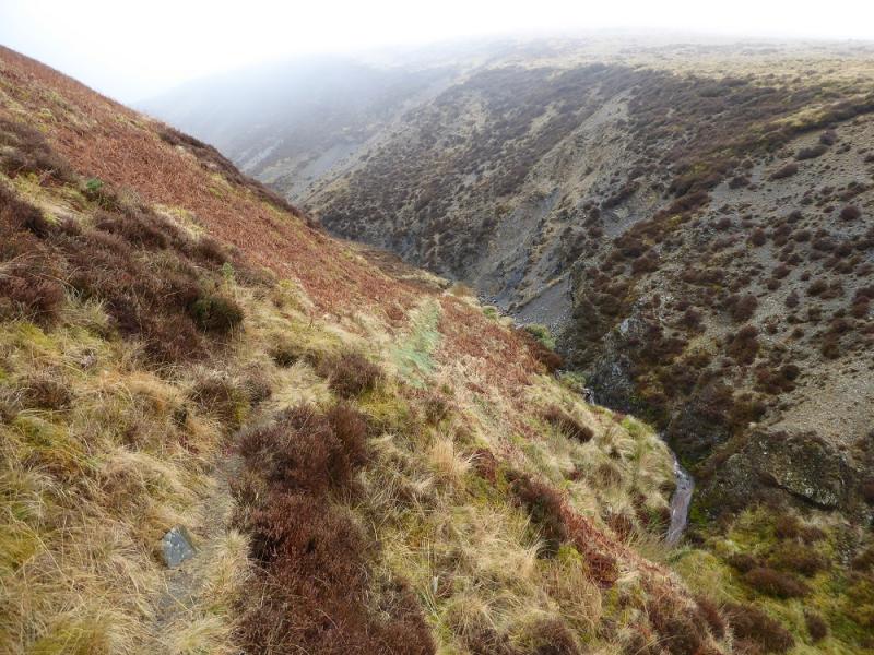
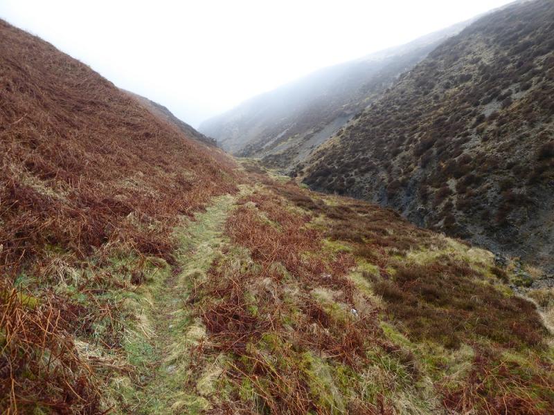
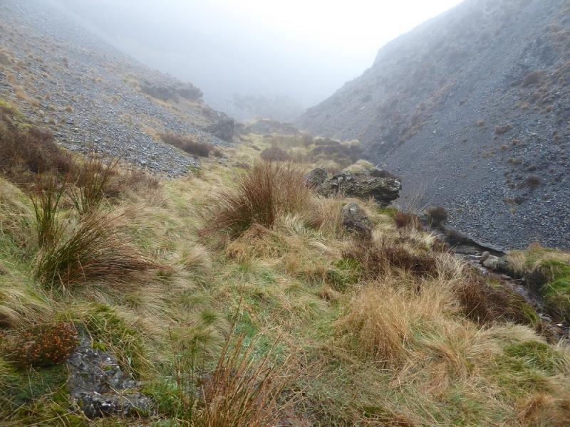
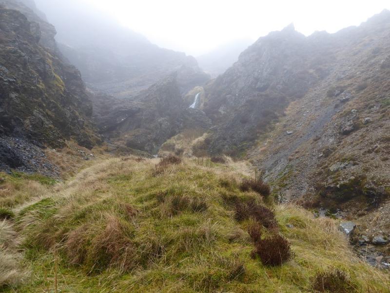
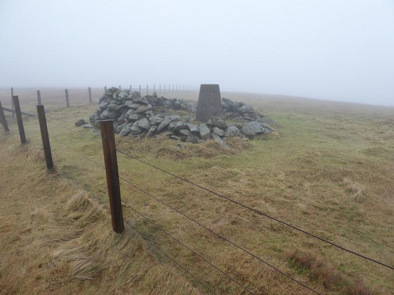
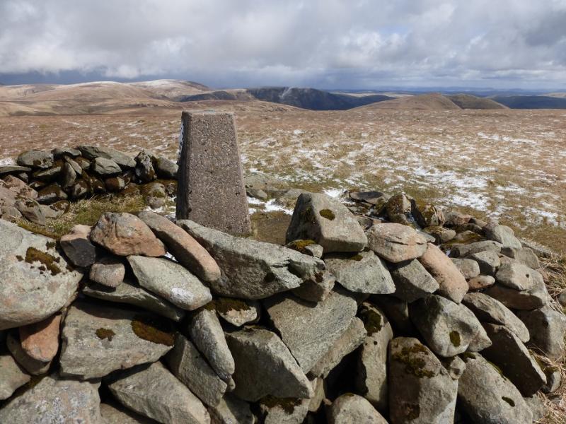
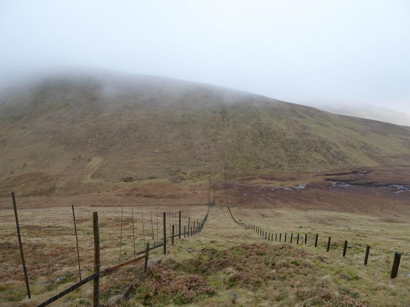
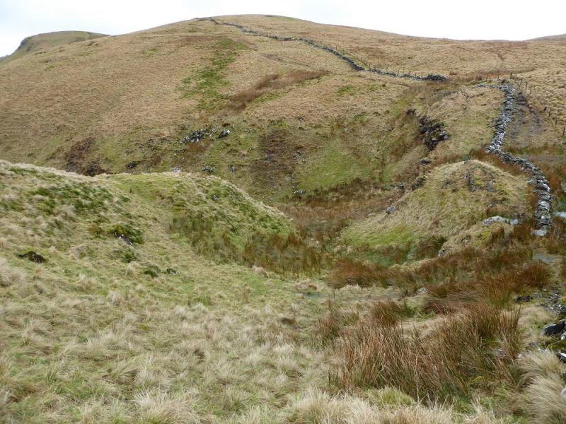
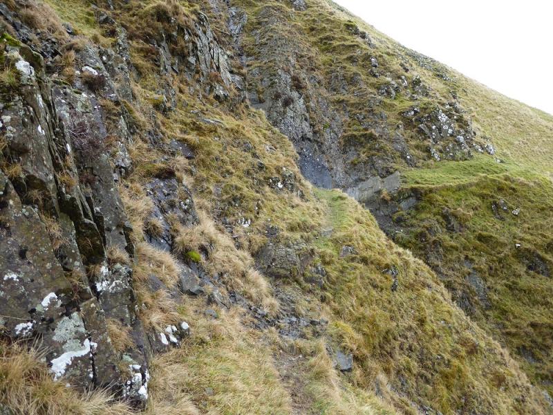
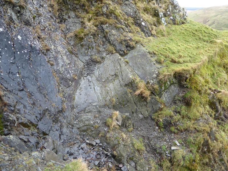
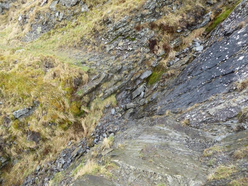
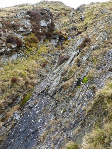
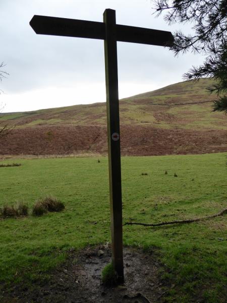
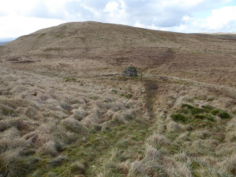
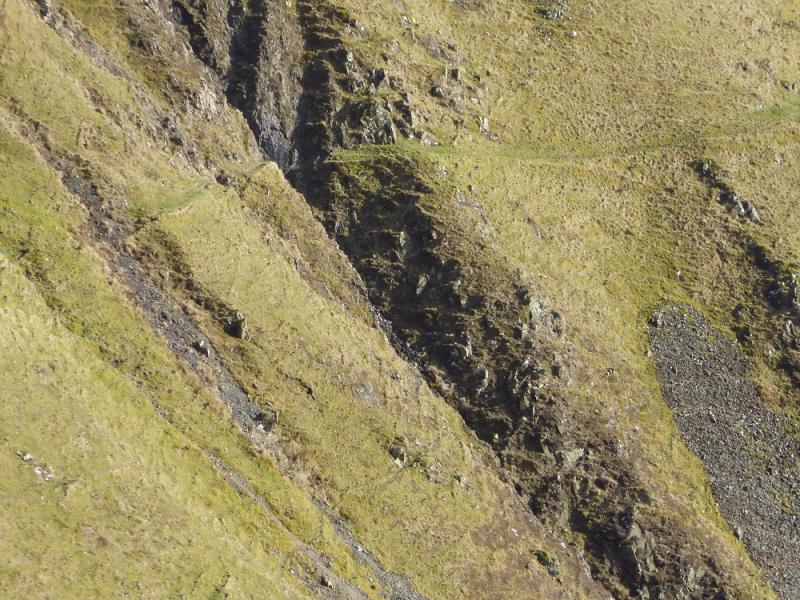
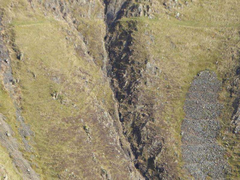
(1) About 100 m past the green building take the signed path to Hart Fell Spa. Follow this, shadowing the stream. The path is faint in places but there are occasional signs. Further on, it becomes a track well above the stream and the entrance to the gully/gorge of Hart fell Spa soon becomes apparent. A path leaves the track just before the entrance and starts picking its way up the gully/gorge. Hart Fell Spa is reached which is a grass covered stone shelter. Continue up, on a fainter path, until the way ahead looks blocked by rock before a small waterfall. It is possible to climb out on the right but the slopes are steep and like loose shale. It is better to pick a way around to the left then rejoin the stream and follow it up. Which ever option is chosen, look for a faint path heading roughly NNE. This joins the ATV track coming up Well Rig just before a fence and gate. If the fence is reached before the track then follow it NW to reach the gate. Continue on the ATV track, heading NE, to Arthur's Seat then further on to meet a fence SE of Hart Fell summit. Step over the fence and follow it, past a fence going off left, to reach a trig point, in a falling down shelter cairn, which is the summit of Hart Fell, 808 m.
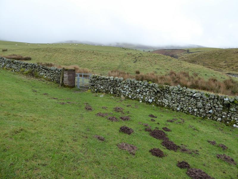
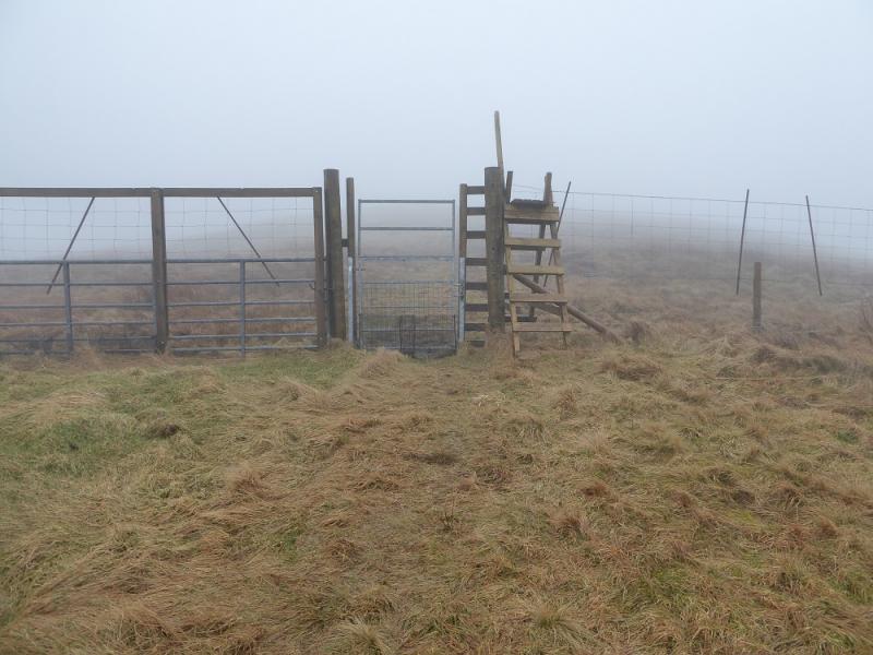
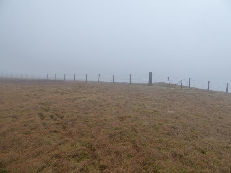
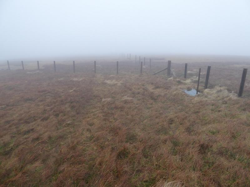
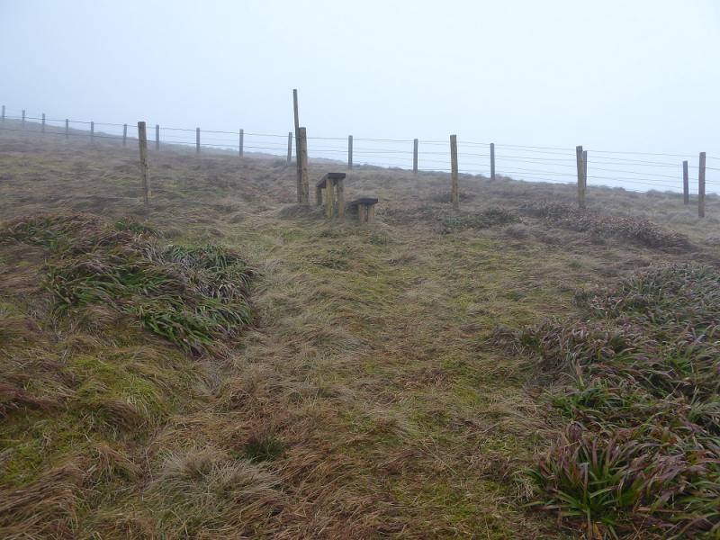
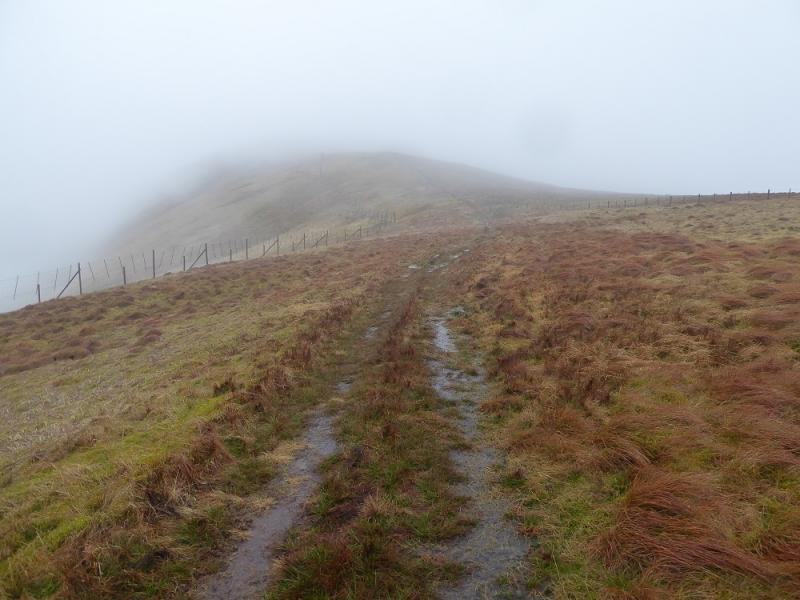
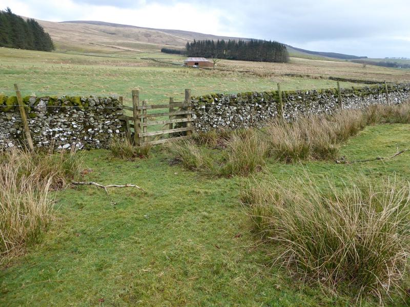
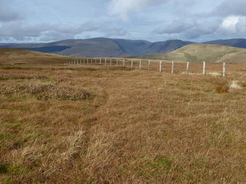
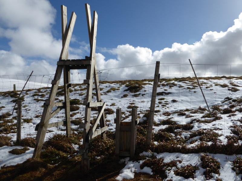
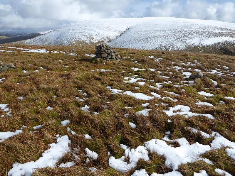
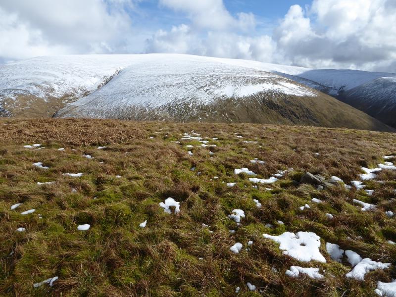
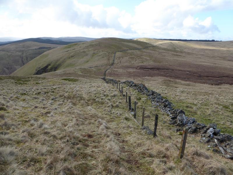
(2) Recross the original fence and follow it NNW. After about 5 minutes of easy descent, reach a fence junction where a fence goes left. This fence is not shown on some maps but it leads all the way to Whitehope Heights and there is a path besides it. Follow the fence down, roughly W, until a deer fence appears on the left. The path goes down the grassy “corridor” between the two fences and this corridor leads all the way to Whitehope Heights summit. The path steepens as it drops into a gap then climbs an equally steep slope on the other side to reach the NE ridge of Whitehope Heights. Follow the path/corridor SE along the crest for about 1 km to reach a stile in the deer fence which has had all its steps sawn off! Pass through a hole in the fence by the stile and make a slanting ascent right to reach the small cairn which is the summit of Whitehope Heights, 637 m.
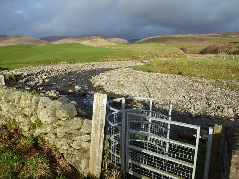
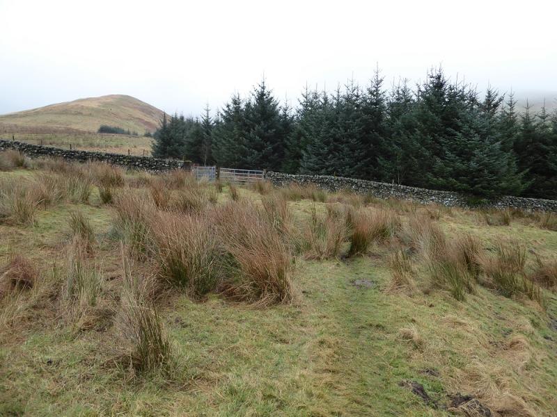
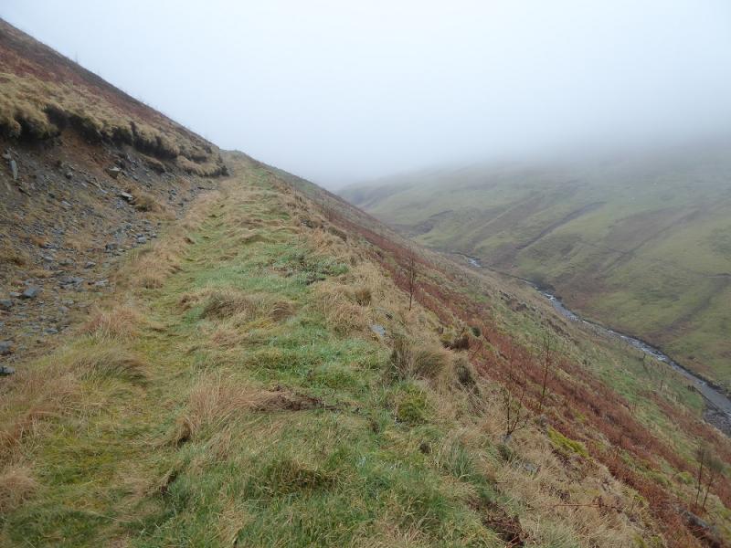
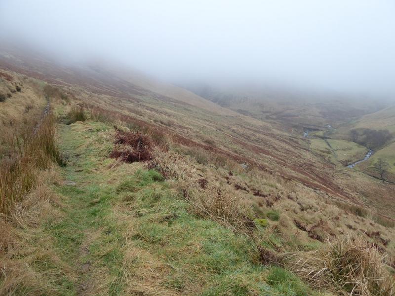
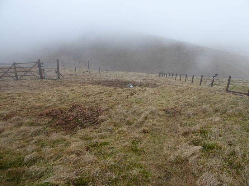
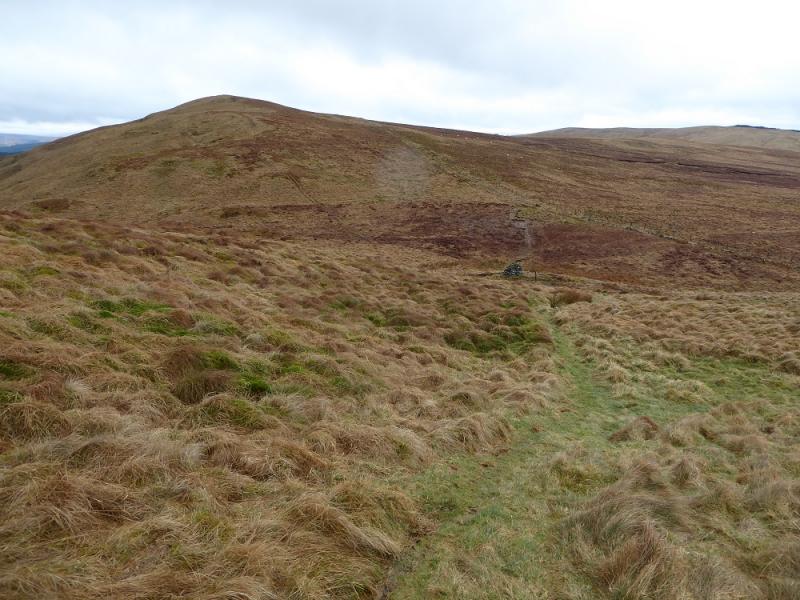
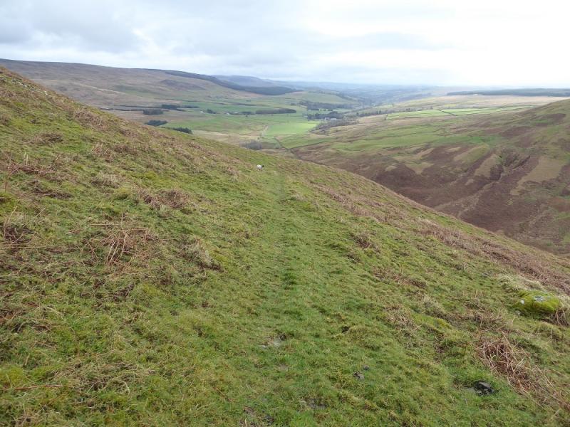
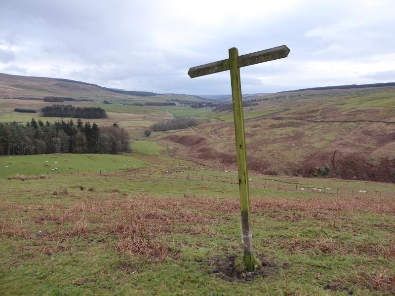
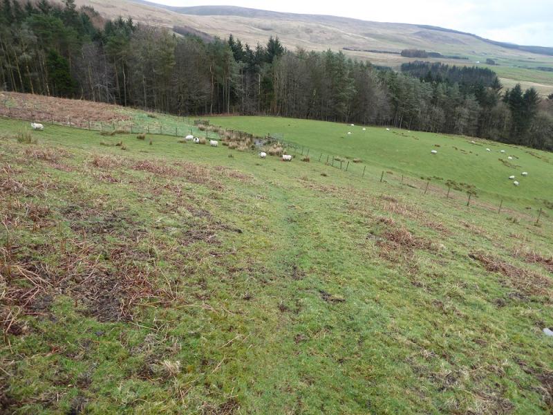
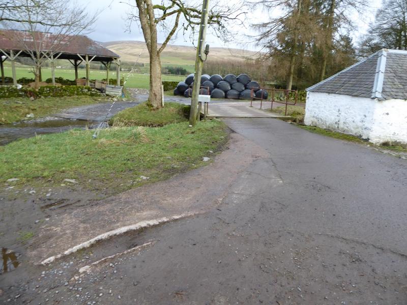
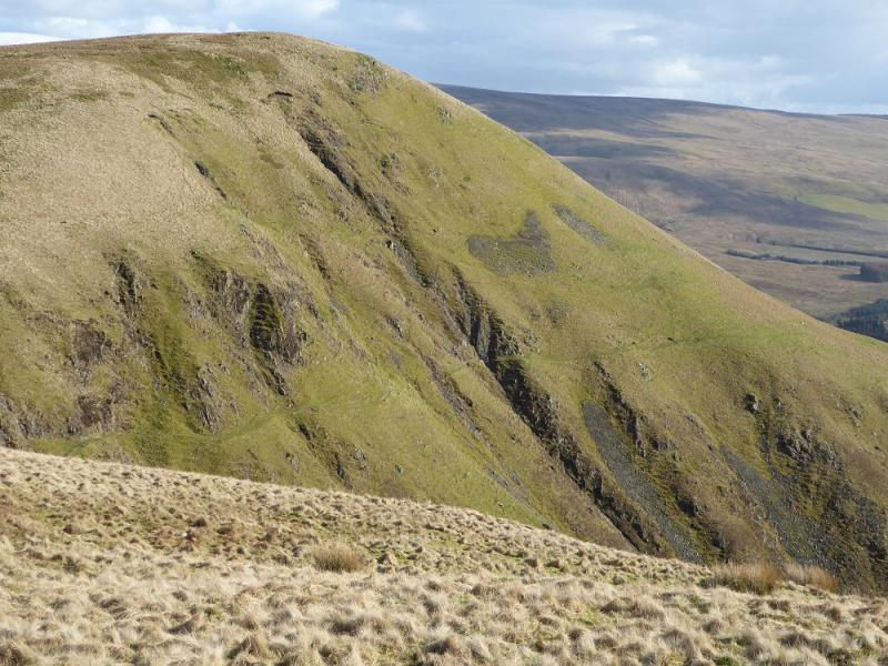
(3) Retrace to the stile then follow the lower fence down, still in the grassy corridor between the two fences. There are a few short boggy sections before the path steepens and descends down to a cairn marking the Annandale Way. Continue ahead, still following the fence, over Chalk Rig Edge and Great Hill to reach the col just before the ascent up Annanhead Hill. Go left, S, at the col on a path which traverses the W flank of Great Hill. The path is narrow and there are steep grassy slopes below. It crosses a significant gully where care is needed but it is relatively straightforward. Continue on the path, faint in places, descending SE towards Coreknowe Plantation. A sign post directs one towards the wood after which one descends along its edge then along its bottom where another signpost points towards Corehead but not very accurately! Stay on the edge of the wood and go through the gate behind the house and follow the path to reach the track towards Ericstane, about 1.5 km away. At Ericstane, ignore any footpath signs and go left at the building to cross the river by a flat bridge next to the ford. Turn right and reach the end of the public road. It is about 1 km to the green building.
Notes
(a) This walk took place on 12th March, 2017, and about 15 years earlier.
Photos - Hover over photo for caption. Click on to enlarge. Click on again to reduce.