Get Lost Mountaineering
You are here: England » Peak District » Kinder, Mam Tor ridge, Rushup Edge, Brown Knoll & Win Hill from Edale
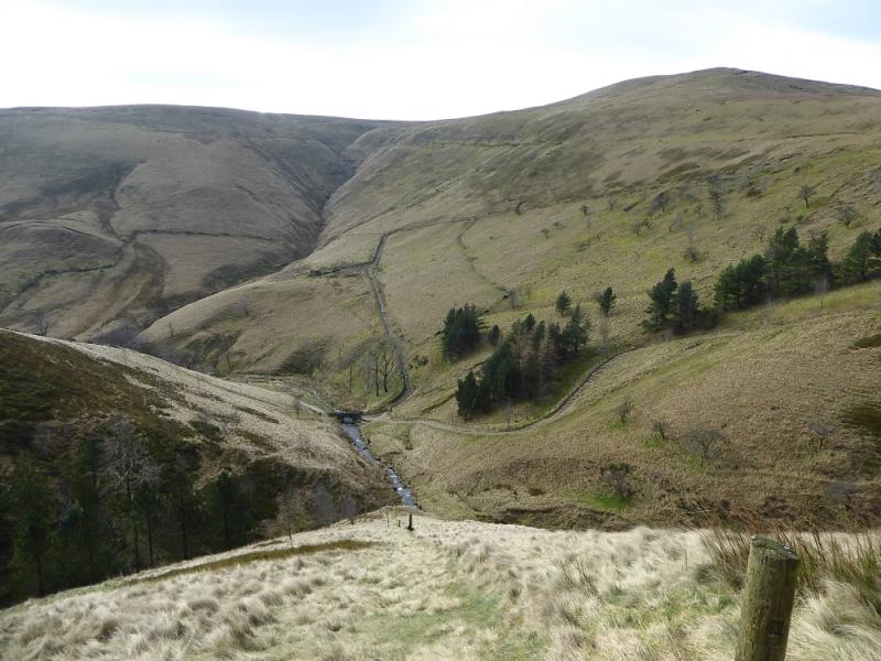
Jacob's Ladder, Brown Knoll, Rushup Edge & Mam Tor from near Barber Booth
Jacob's Ladder, Brown Knoll, Rushup Edge & Mam Tor
from near Barber Booth
Start/Finish
Upper Booth parking spot (holds about 15 cars) which is about a mile west of Edale village car park which, coming from Hope, is on the Edale road just before the turn off to Edale village. The turn off for Edale from Hope, from The Hathersage to Castleton road, A625, is not that obvious and easy to miss. It is a right turn opposite a chuch on the left on the eastern end of Hope. Upper Booth is a signed right turn just before the Edale valley road starts climbing towards Mam Tor. The road is narrow with few passing places. There is also some parking further back from the main parking spot under the obvious viaduct. Both spots are free to park at. There are toilets in the Edale village car park.
Distance/Time
16 km. About 5 – 6 hours.
Peaks
Brown Knoll, 569 m, SK 083 851.
Rushup Edge, Lord's Seat, c 540 m, SK 112 835.
Mam Tor, 517 m, SK 127 836.
OS 110: Sheffield & Huddersfield. OS Outdoor Leisure 1: Dark Peak
Introduction
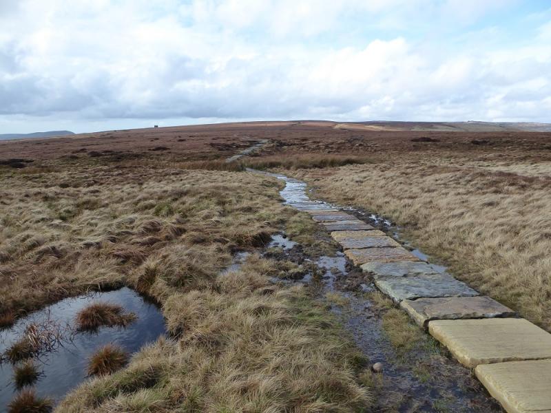
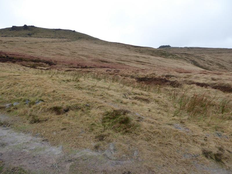
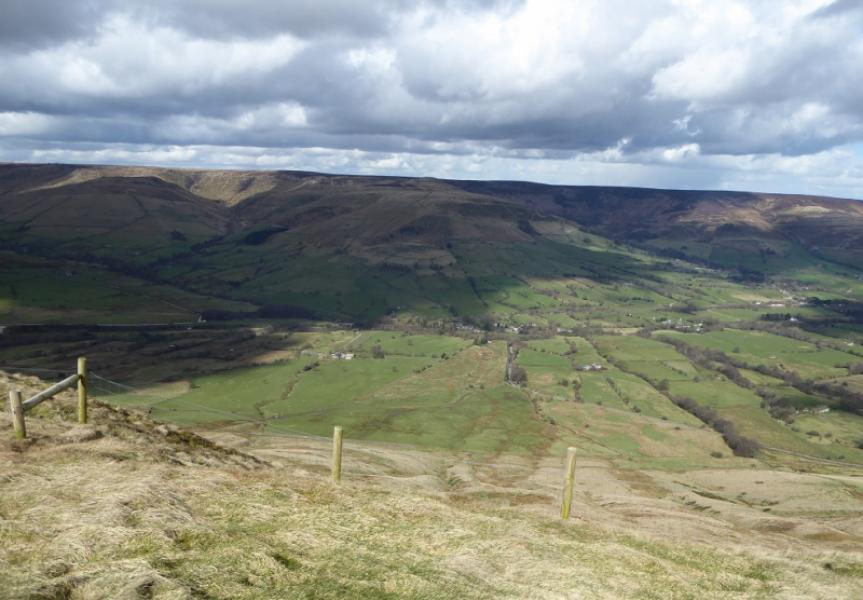
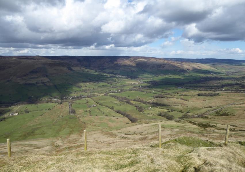
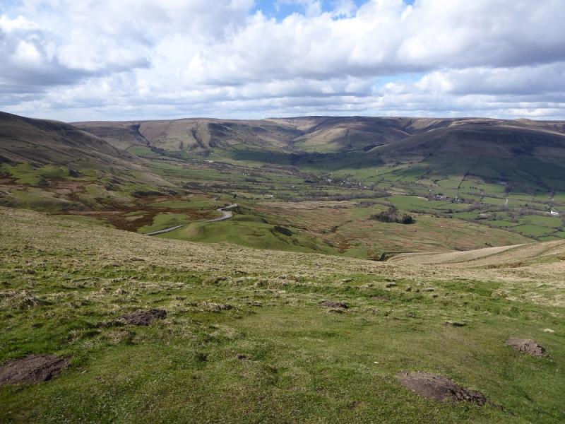
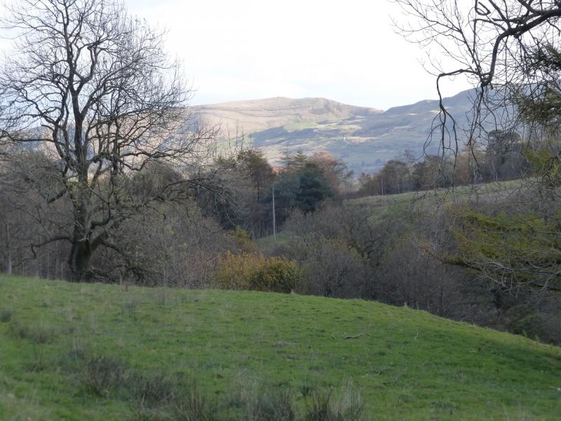
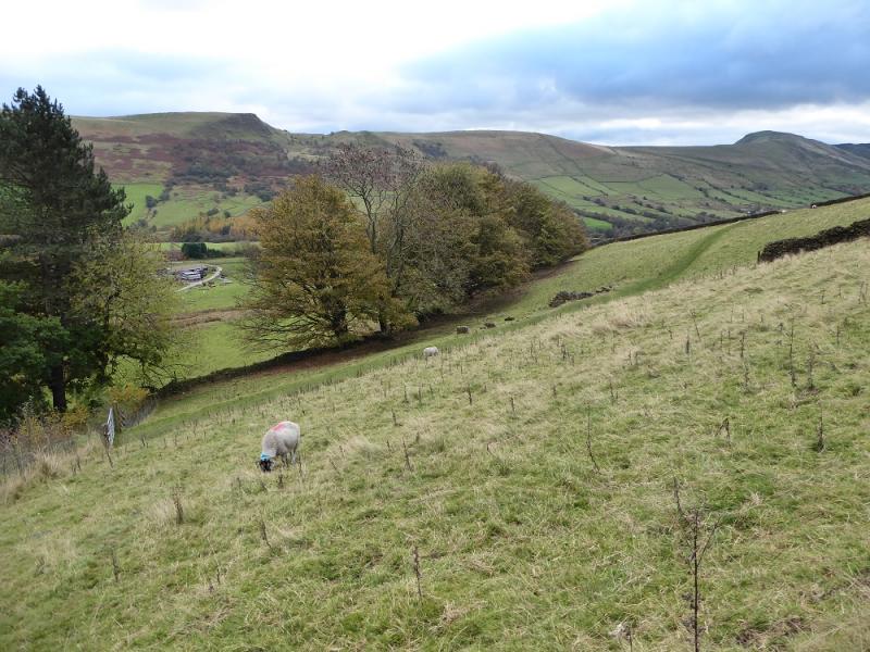
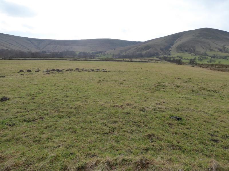
This is a very pleasant walk around part of the head of the Edale Valley. There are good views across the valley and beyond. The very boggy path over Brown Knoll has now been slabbed. Navigation is almost foolproof even in mist. The return from Hollins Cross is fine until Greenlands but then goes across wet fields and through many boggy gates.
Route
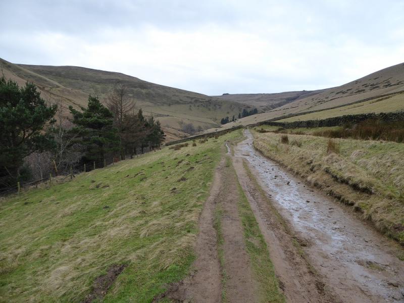
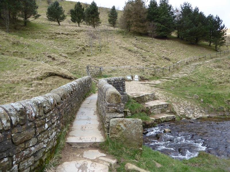
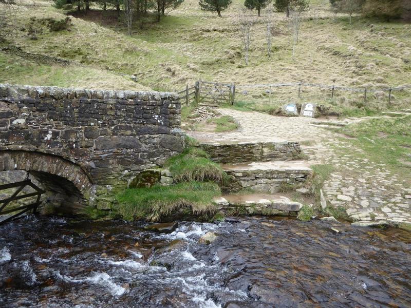
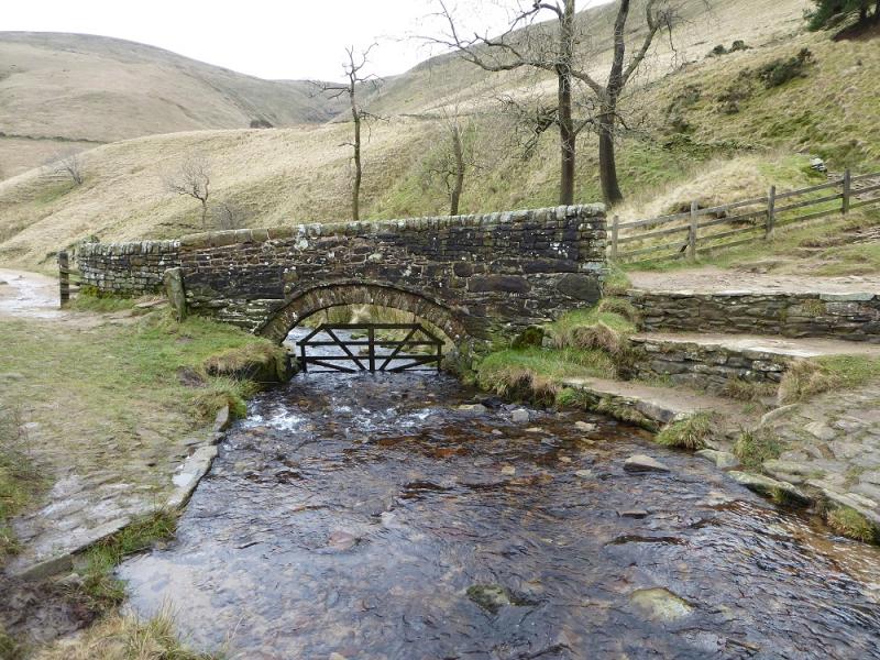
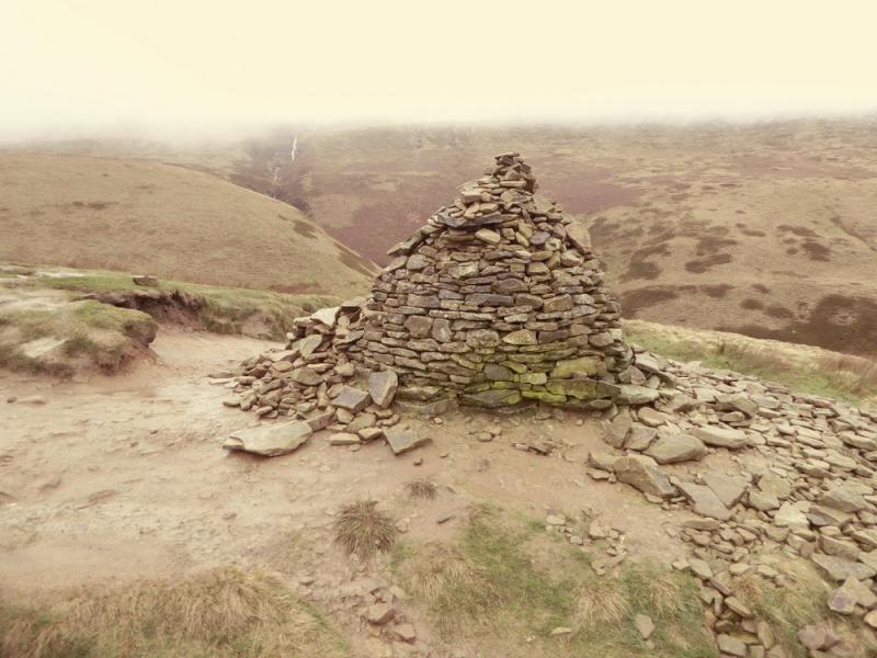
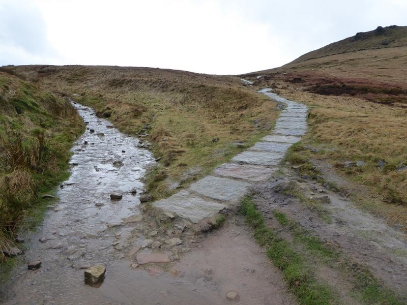
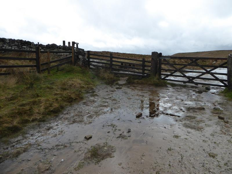
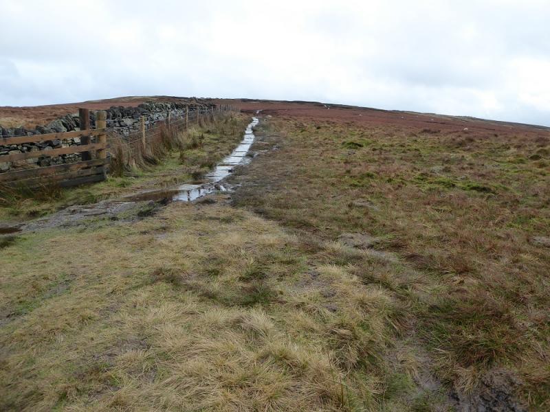
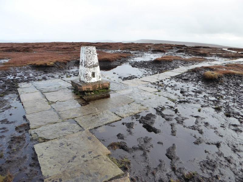
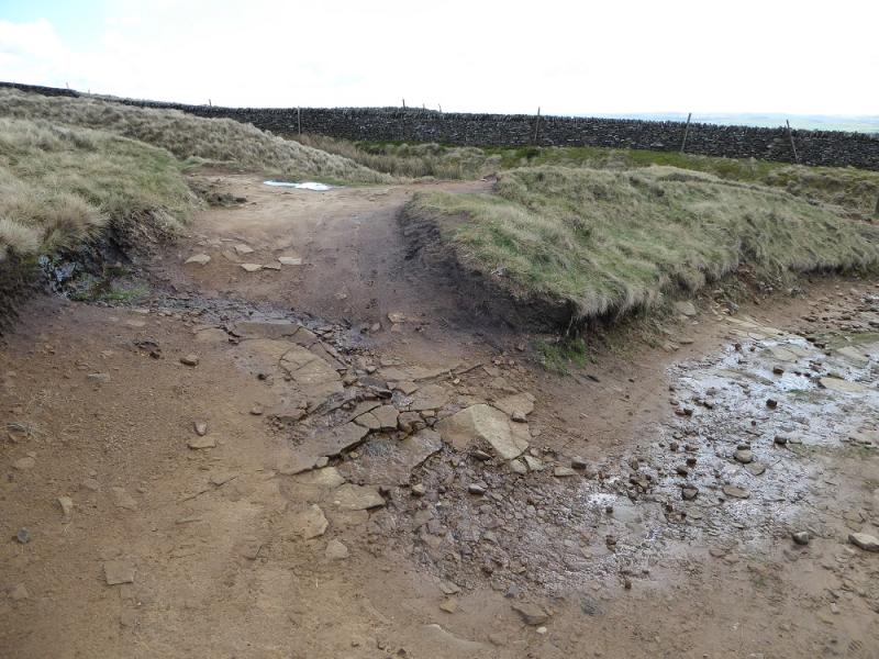
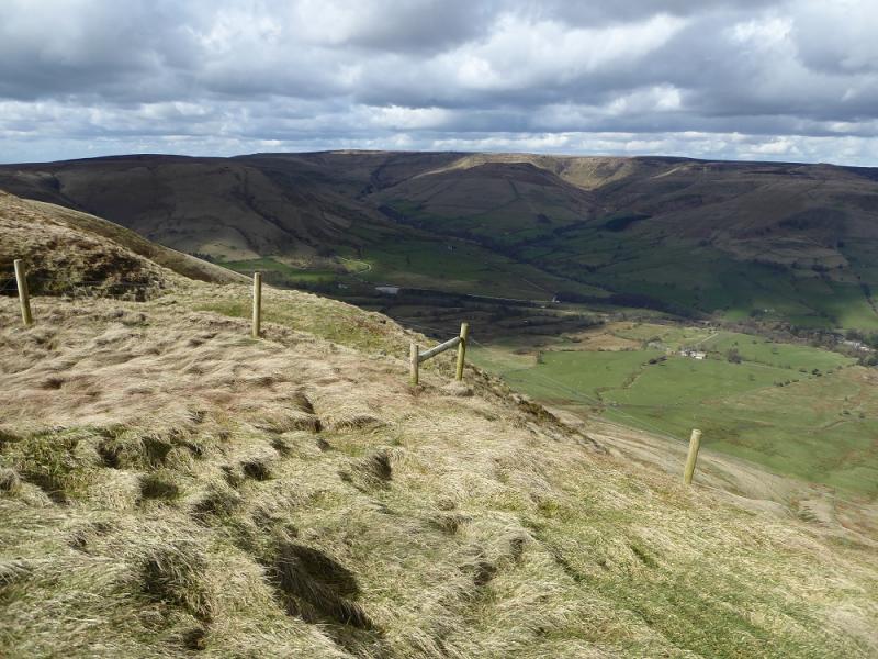
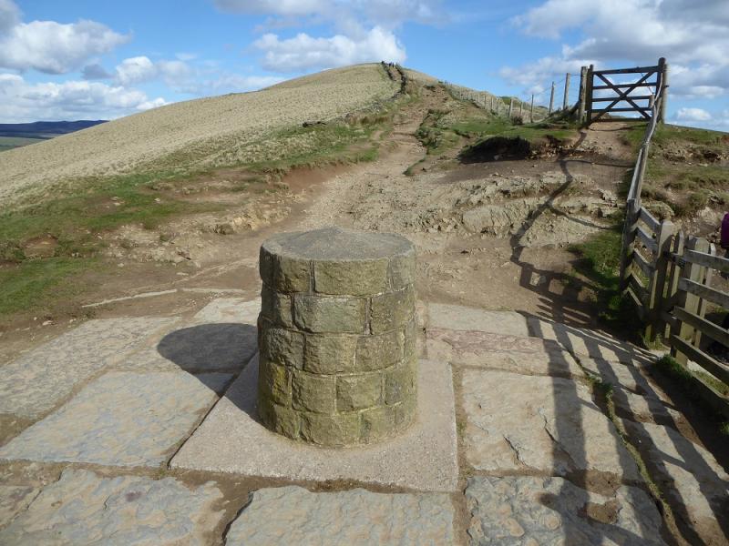
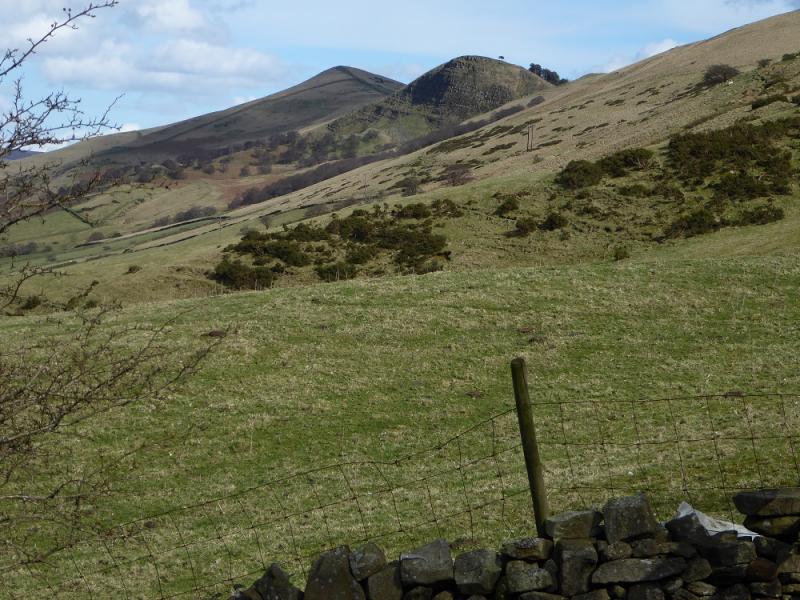
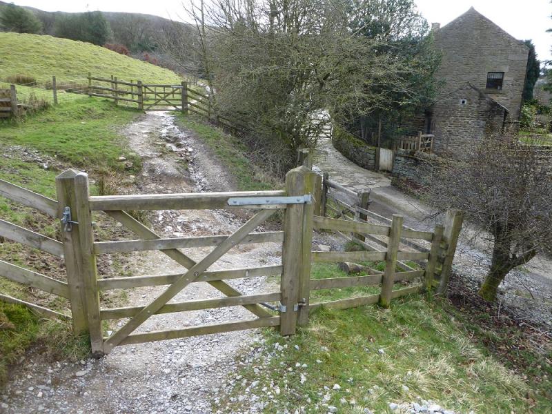
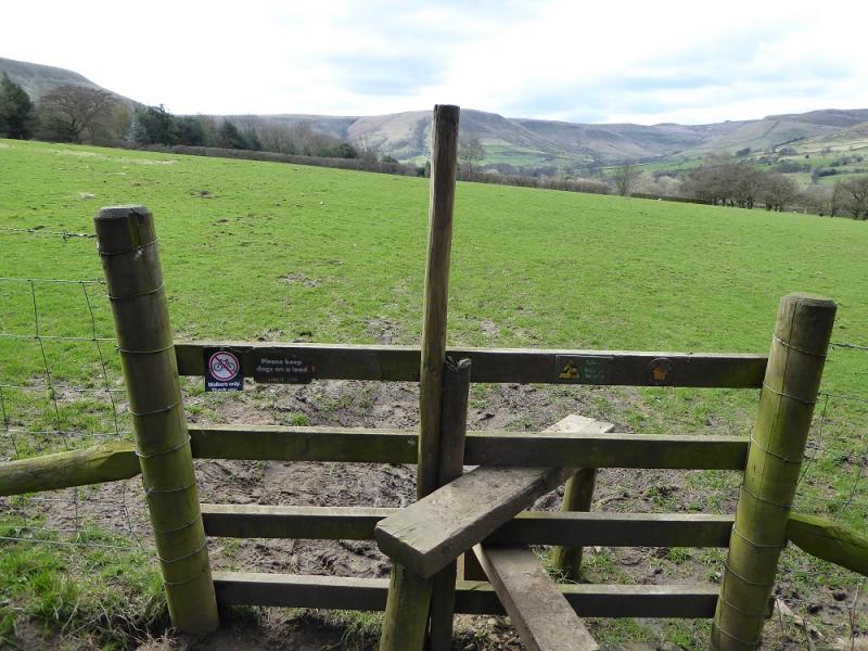
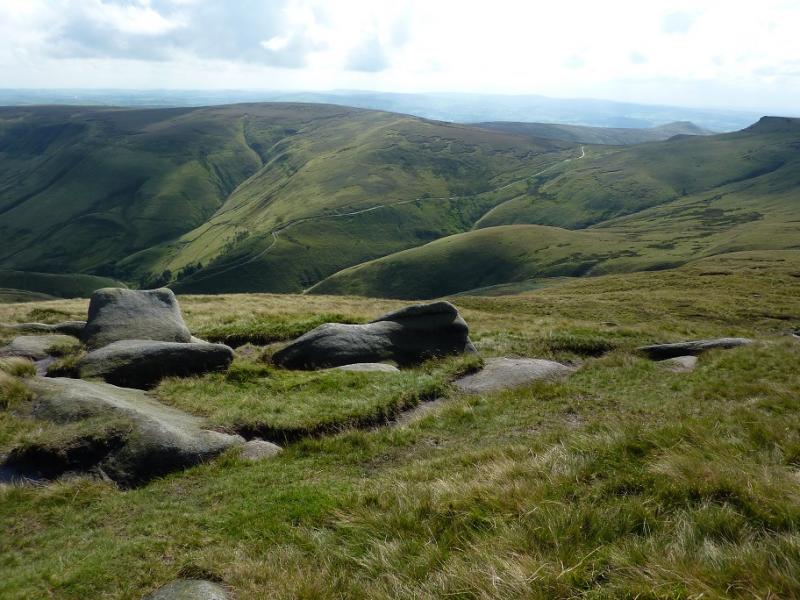
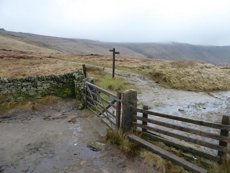
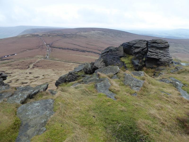
(1) Continue up the road from the car park and follow it past Upper Booth (telephone box) then continue past Lee Farm, now on a track, to reach the old stone bridge at the foot of Jacob's Ladder. The old Jacob's ladder path is on the left, the new one is directly ahead. The older one is preferred although it is more stony. They meet at a large cairn higher up when the continuation is more like the old path. Continue to wher ethe apth splits with a slabbed path forking right. Take the left fork though and follow it to a gate by a sign for the Pennine Way which is left here. Go through the gate and follow the slabbed path going left. This actaully goes all the way to South Head so has to be left near its highest point at a stile which, after a short unslabbed section, gives access to the newly slabbed path up Brown Knoll and this soon leads to the trig point (now no longer in a bog!) which is Brown Knoll, 569 m.
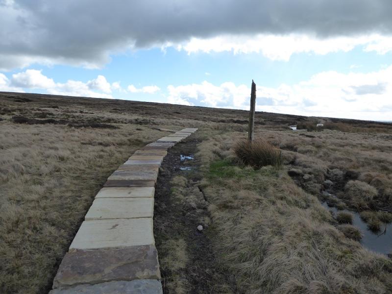
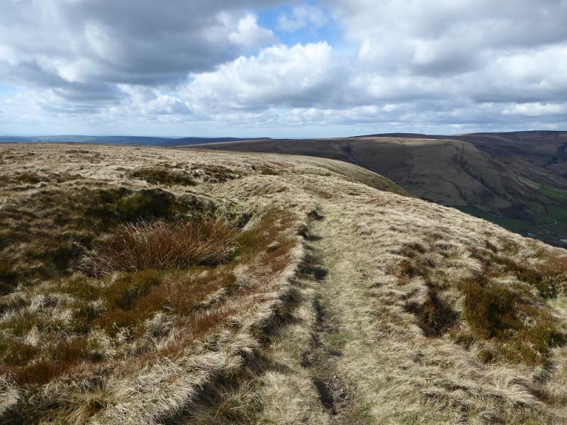
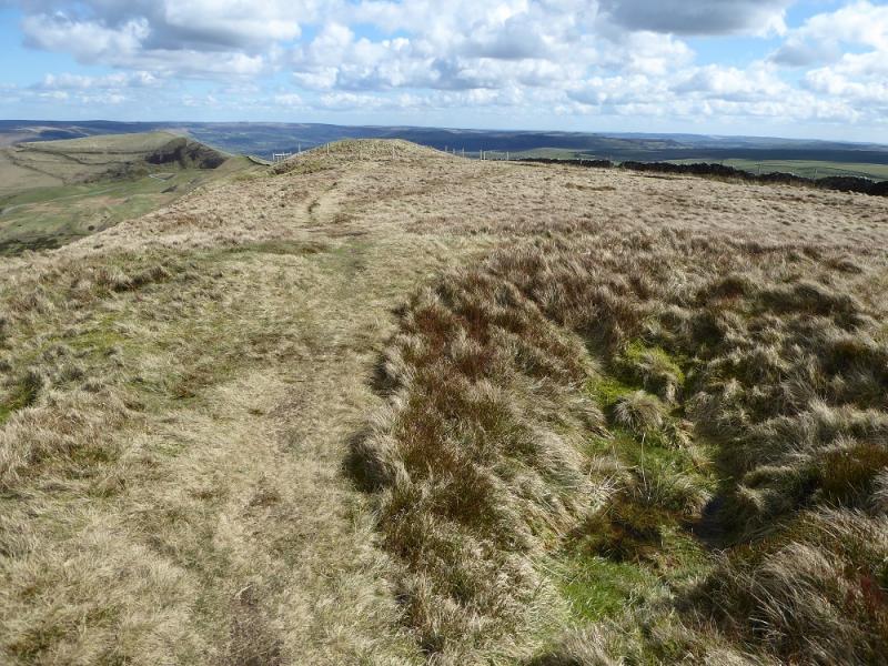
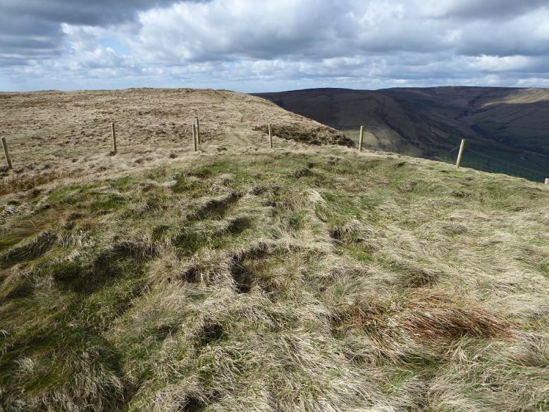
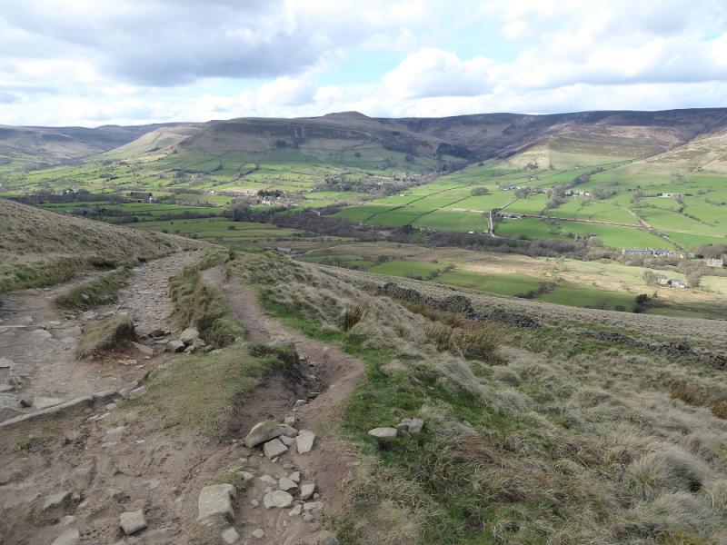
(2) Continue on the slabbed path. If it is clear, the castle like air shaft will be seen to the S. Follow the slabbed path to its end, just after a high post, where it meets an obvious track. Turn right and follow the track until it splits just before a wall. Take the left option which follows the wall up. Continue up until a small fenced off mound is reached which is Lord's Seat and usually considered to be the highest point on Rushup Edge. There is no cairn but this is probably Rushup Edge, Lord's Seat, c 540 m. Note that the preceding similar mound is about the same height. This has a faint path to it from the track.
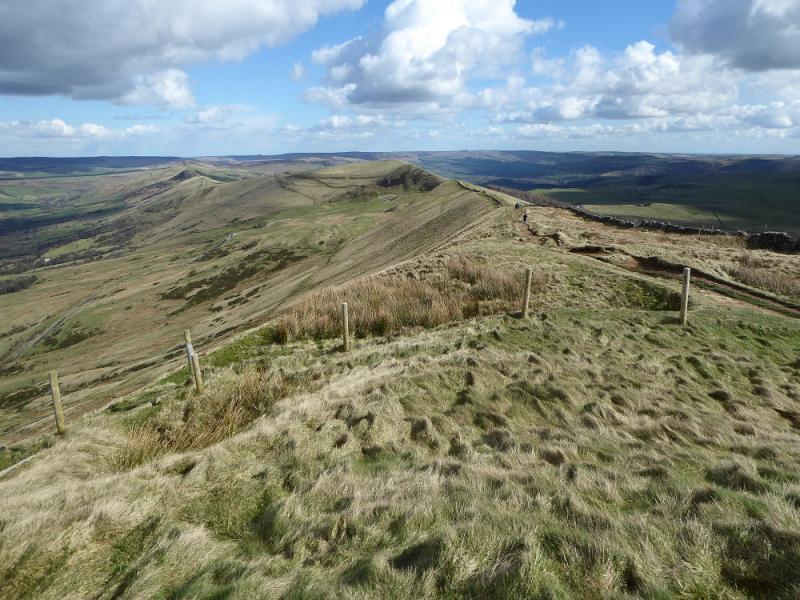
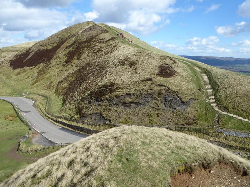
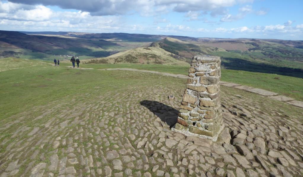
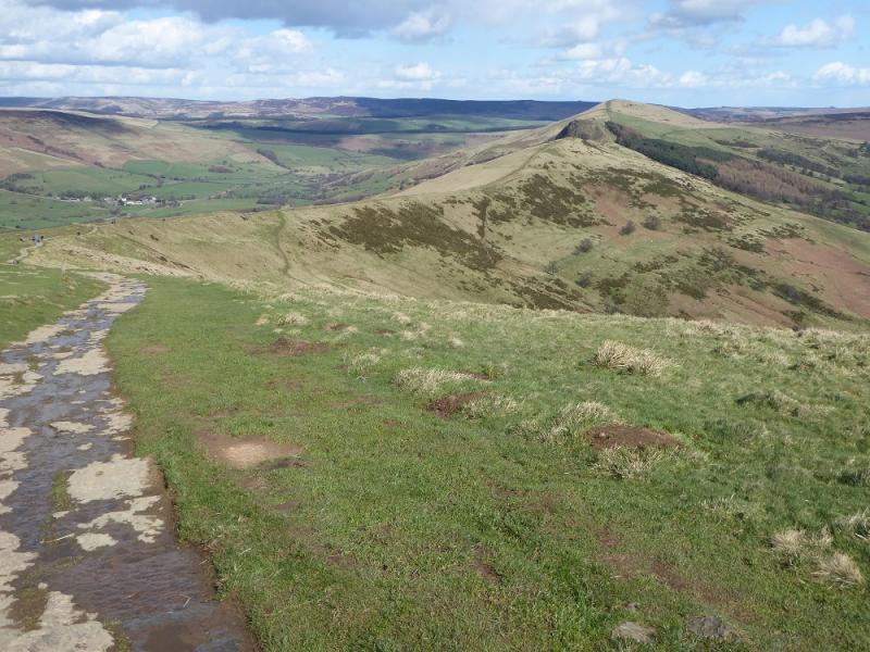
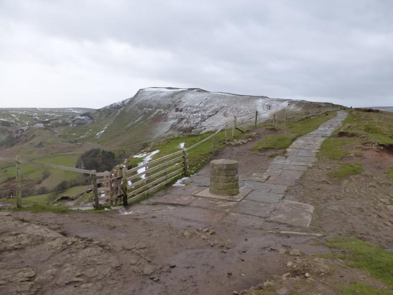
(3) Continue on the obvious path and descend to the road going over the pass. Cross over and ascend the steps to reach the trig point which is the summit of Mam Tor, 517 m.
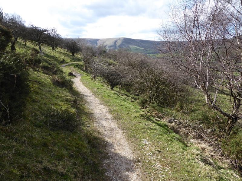
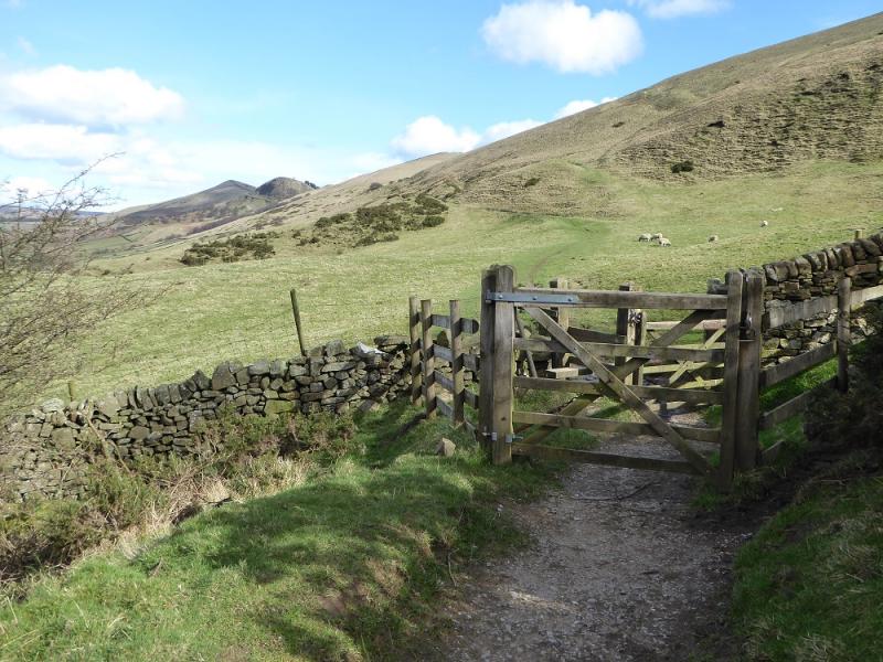
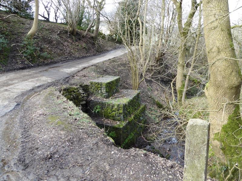
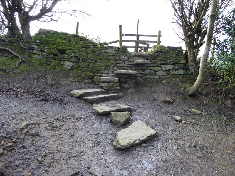
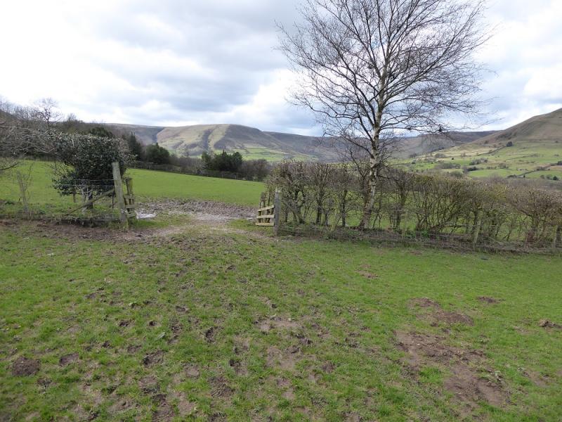
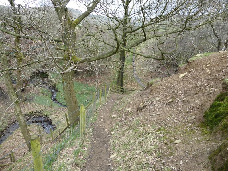
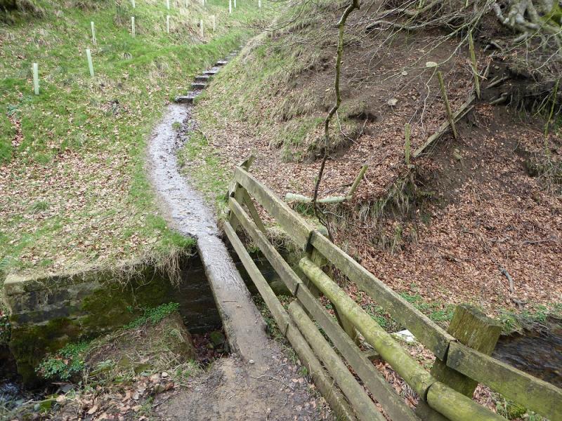
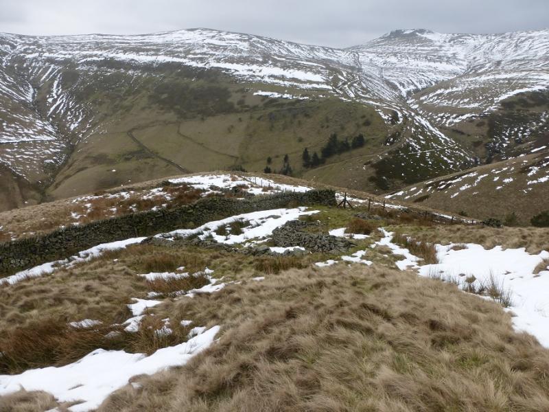
(4) Continue on the same path and descend to the dip known as Hollins Cross where there is a viewfinder cairn. Take the track which is a reverse left fork and follow it down towards Edale. It soon splits so take the left fork which leads to the house at Greenlands where there is a minor road. Turn right and follow the road downhill through a natural cutting. Just after it crosses a stream there is a stile made of stone steps set into the wall on the left. This is the path back to the road at Barber Booth. It is wet and boggy in places but has a few scenic moments. One stream is crossed by a single plank bridge which can be quite slippery. The route is marked by arrows and finishes with a short track down to the road. Almost opposite is the minor road back to the parking area.
Notes
(a) This walk took place on 21st March, 2017.
Photos - Hover over photo for caption. Click on to enlarge. Click on again to reduce.