Get Lost Mountaineering
You are here: England » Peak District » Bleaklow, Higher Shelf Stones & Cock Hill from Old Glossop & Snake Pass
Higher Shelf Stones & Bleaklow Head via Doctor's Gate Path from Snake Summit
Higher Shelf Stones & Bleaklow Head via Doctor's Gate Path
from Snake Summit
Start/Finish
The top of the Snake Pass, the A57 between Sheffield and Glossop where there is usually plenty of verge parking.
Distance/Time
9 km. About 3 hours.
Peaks
Higher Shelf Stones, 621 m, SK 088 947.
Bleaklow Head, 633 m, SK 092 958.
OS Outdoor Leisure 1: Dark Peak. OS 1 : 50 000 Sheet 110.
Introduction
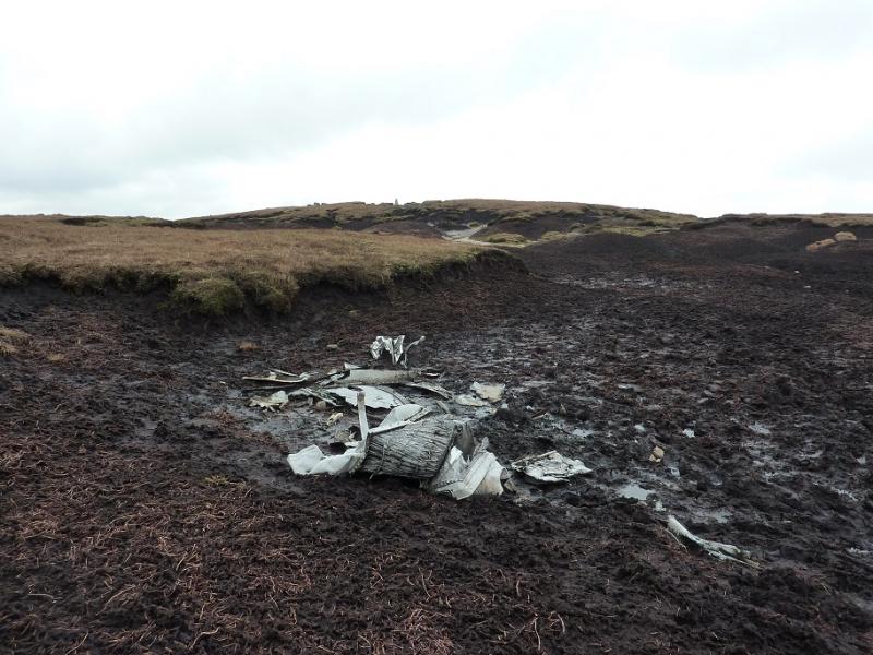
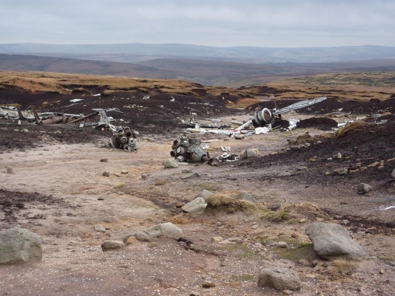
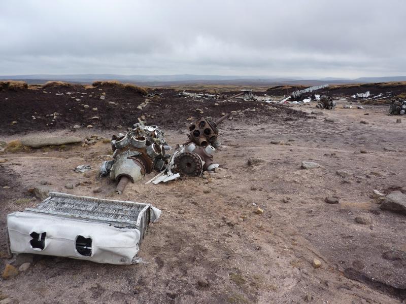
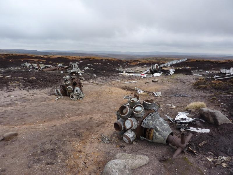
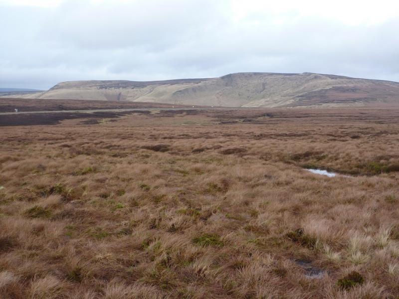
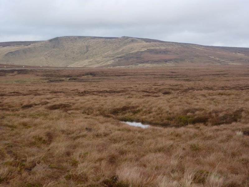
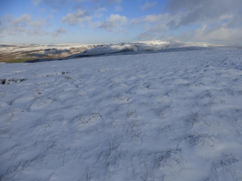
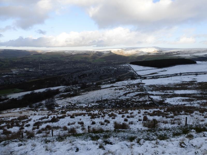
This is a fine walk in the Dark Peak which, in good weather has good views of the surrounding countryside including Black Hill, the Howden Edge, Kinder and Win Hill. Some of the going is boggy, even in a dry spell, and gaiters are recommended. The worst ground to walk on is on the Pennine Way. This walk can easily be accomplished on a short winter's day. It is recommended when the ground is frozen as that makes it less boggy! Because of the nature of the terrain, this walk is best undertaken in clear weather. This is a very similar walk to one already postedexcept that this one approaches Higher Shelf Stones using the Doctor's Gate path then the Crooked Clough path. There is a considerable amount of aircraft wreckage not far from the summit of Higher Shelf Stones which walkers are free to wander through but please do not disturb any of it out of respect for those who lost their lives in the crash during the Second World War.
Route
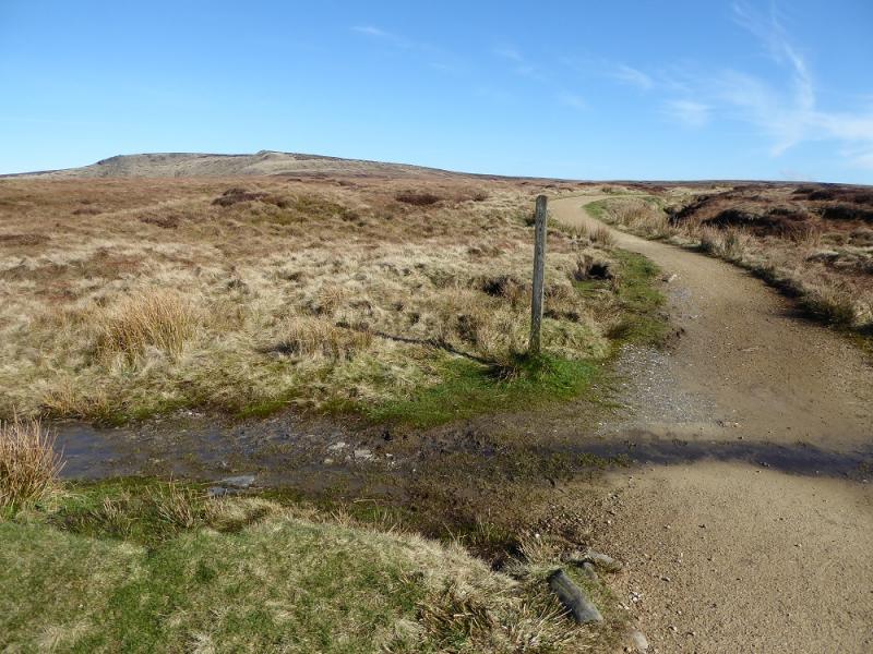
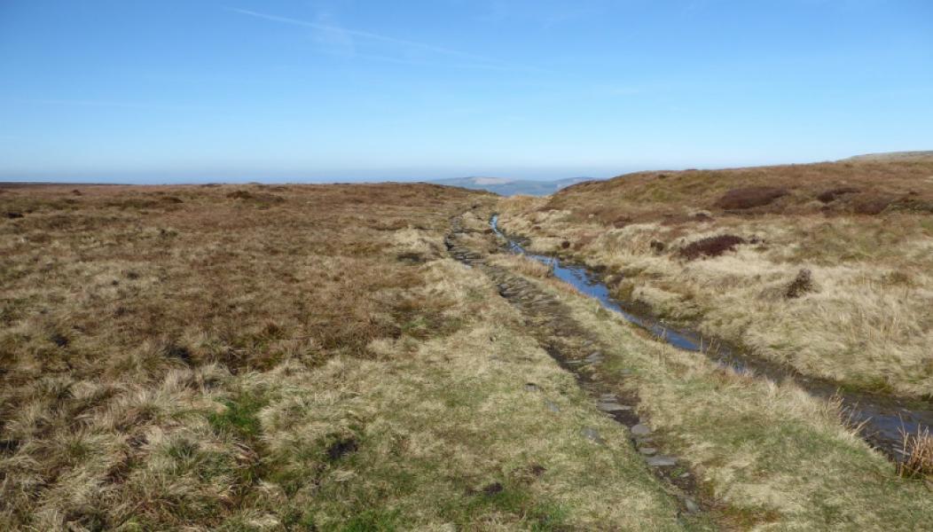
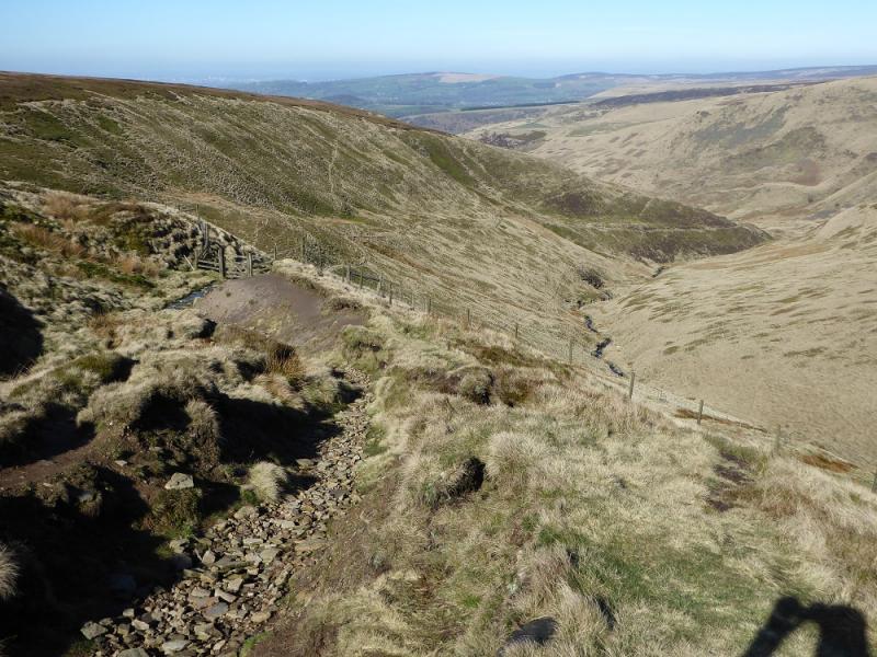
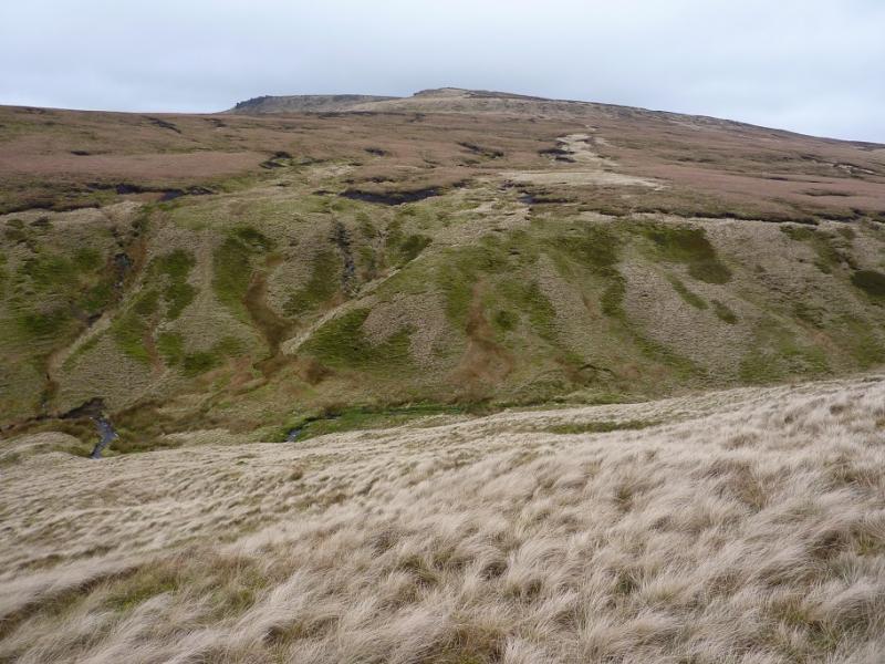
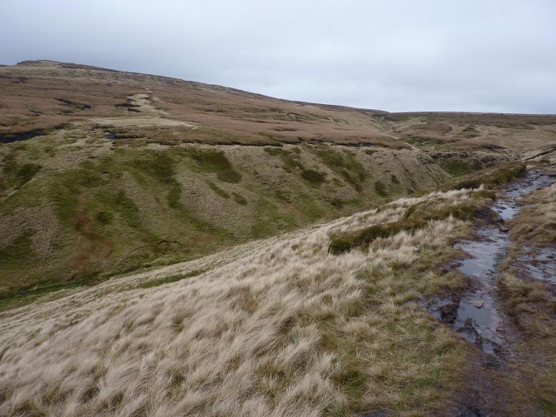
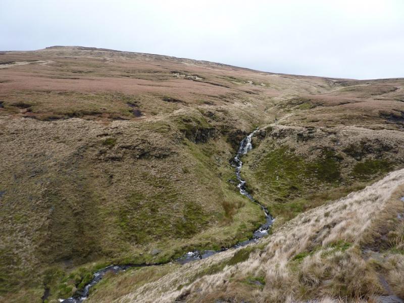
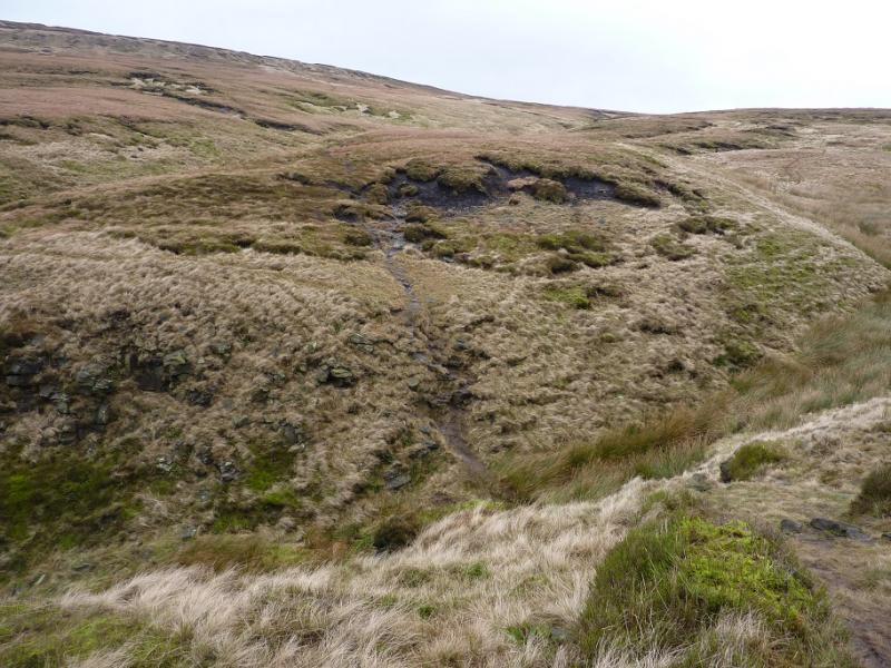
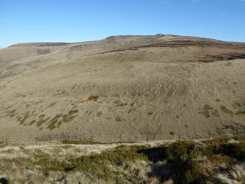
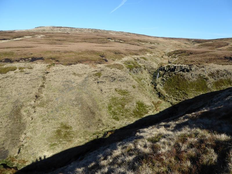
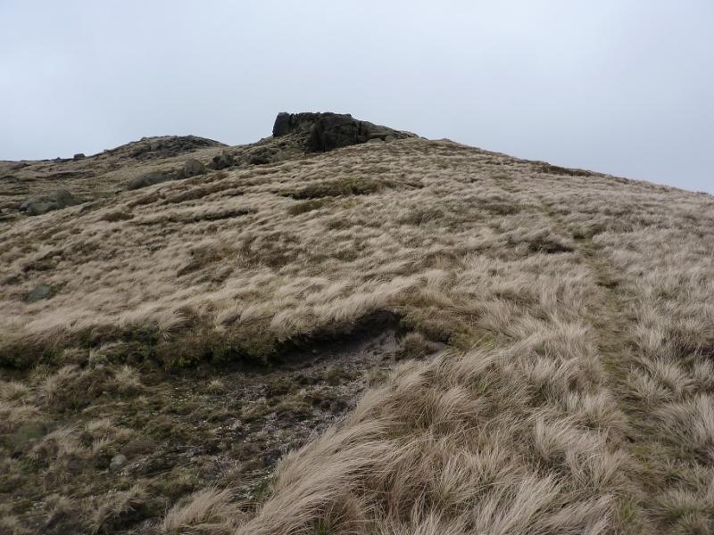
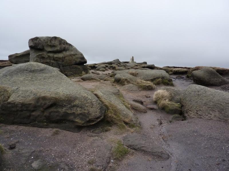
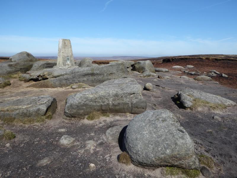
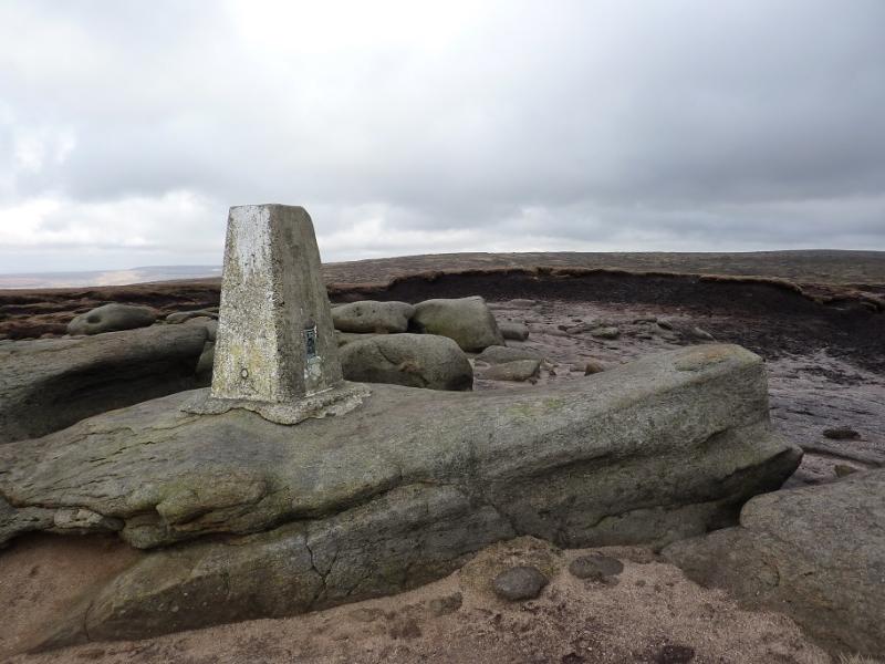
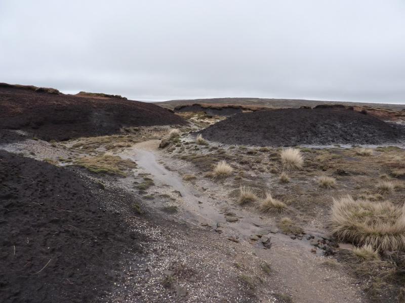
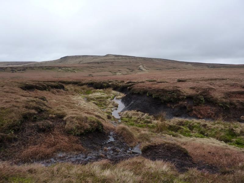
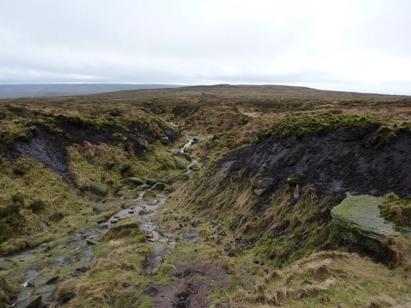
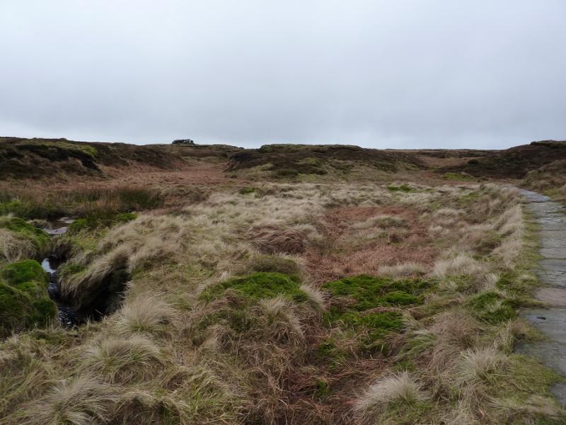
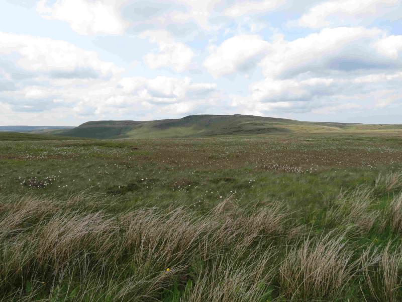
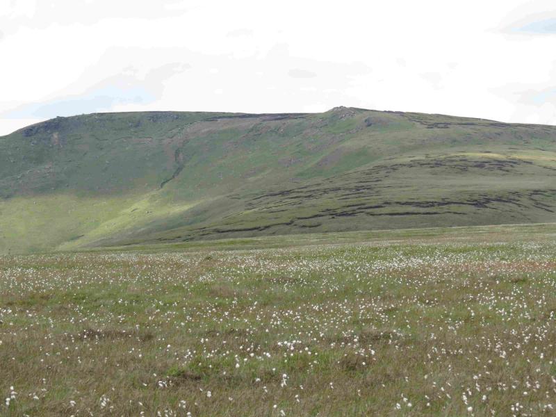
(1) Locate the Pennine Way sign pointing N at the Snake summit. Follow the obvious path to the signposted junction with the Doctor's Gate path. Turn left (Glossop) and follow the path, slightly downhill and quite boggy, until a path goes off right just above the gate. Follow this path along the edge of Crooked Clough until the clough forks. There is a waterfall on the left fork but the path takes the right fork. Soon after the fork, a faint path drops steeply down left to cross the stream then climbs steeply up to cross the next stream well above the waterfall. From here, continue to follow the path to gain the S ridge of Higher Shelf Stones (Gathering Hill) just above its peat hags. Walk up the S ridge, on a faint path, to reach the trig point which marks the summit of Higher Shelf Stones, 621 m.
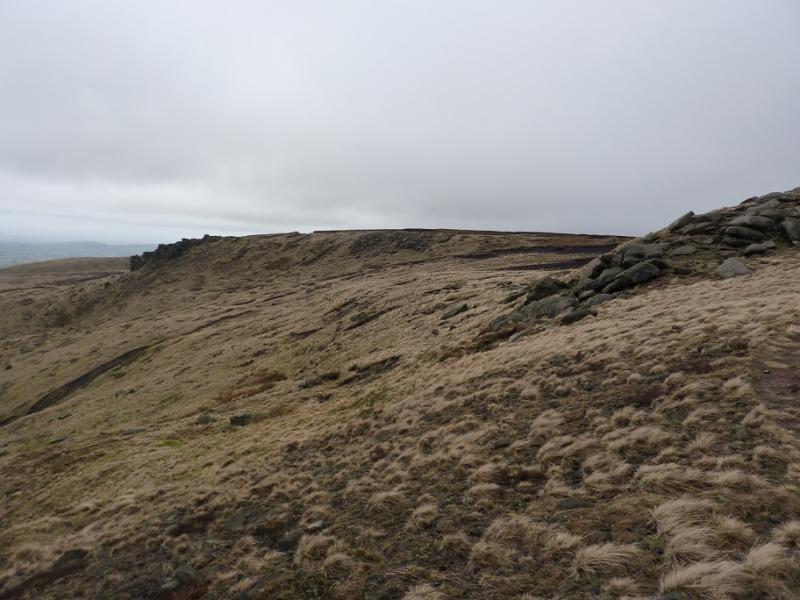
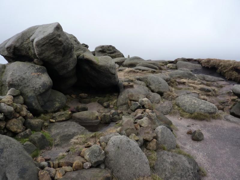
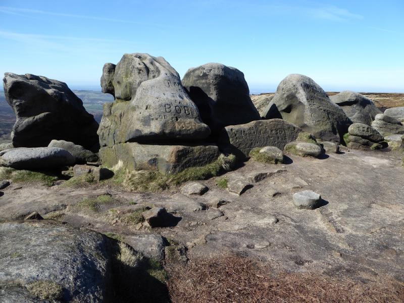
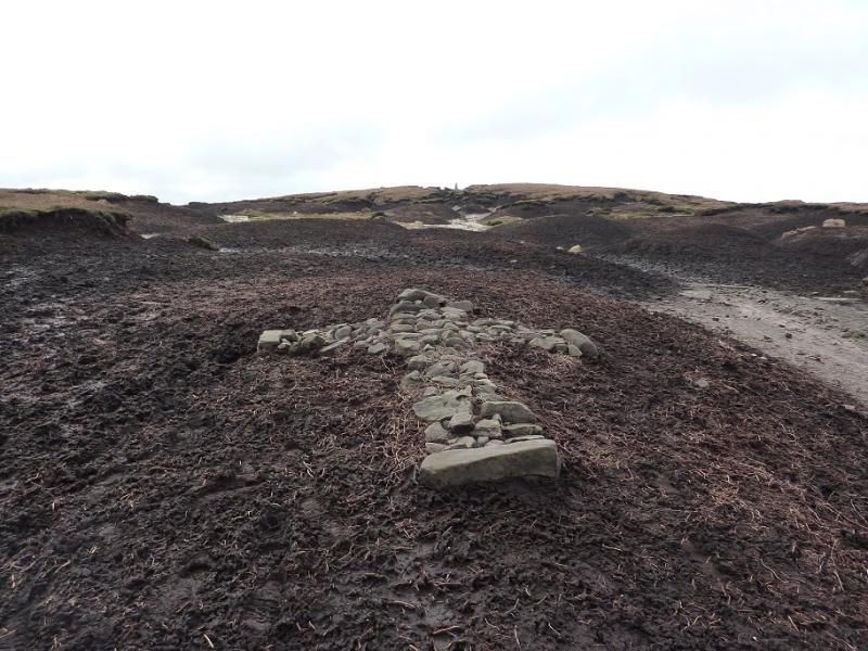
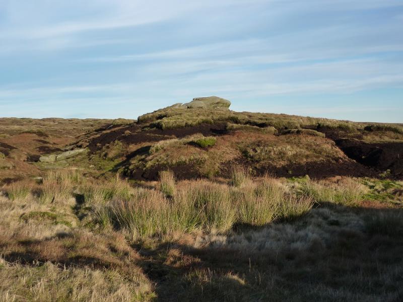
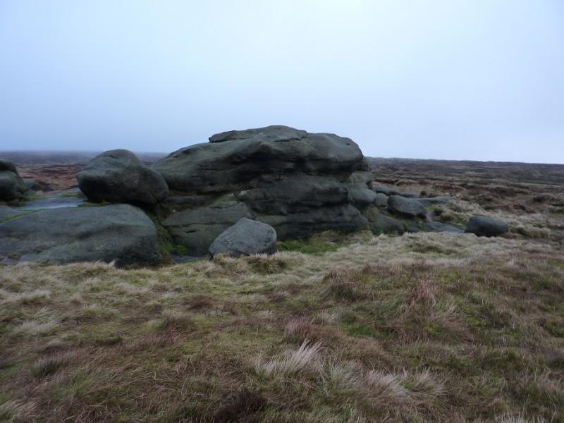
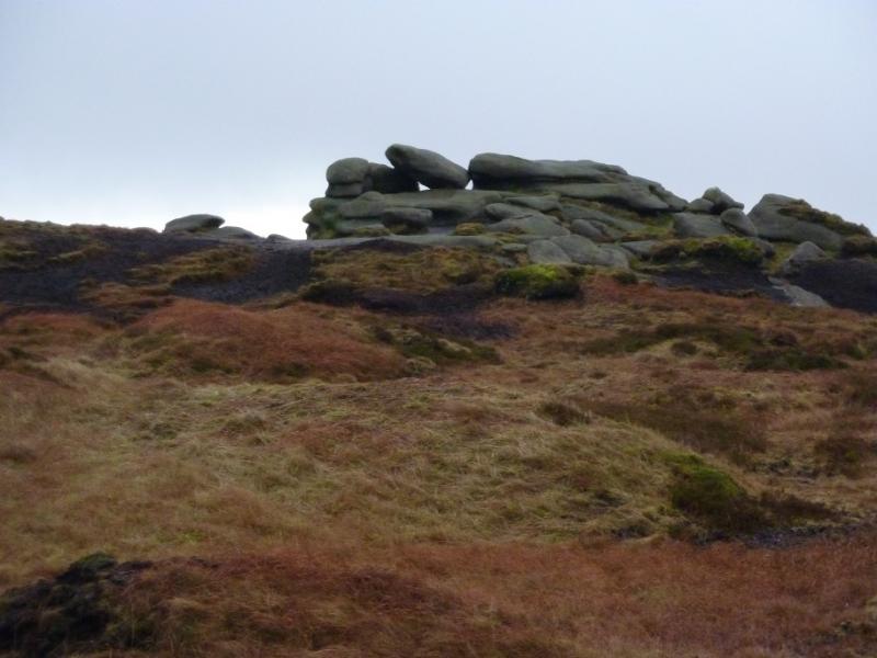
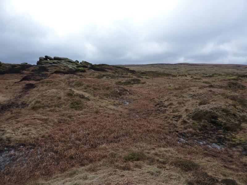
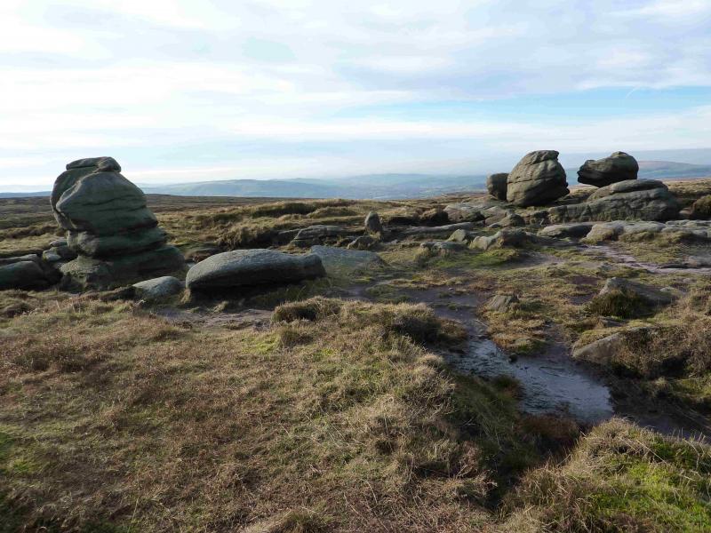
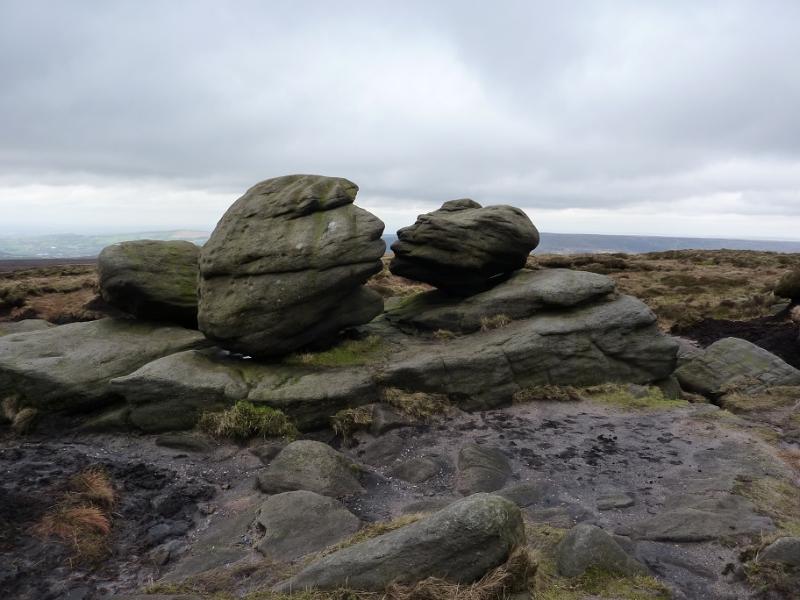
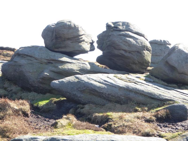
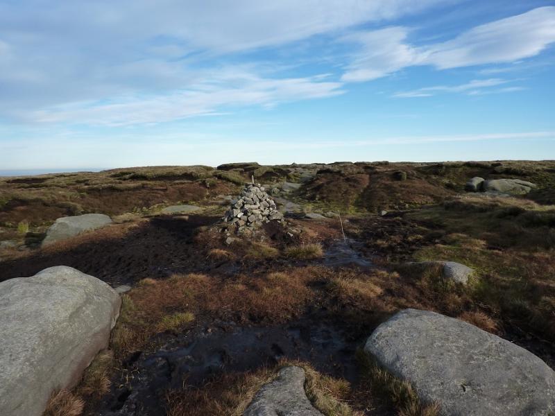
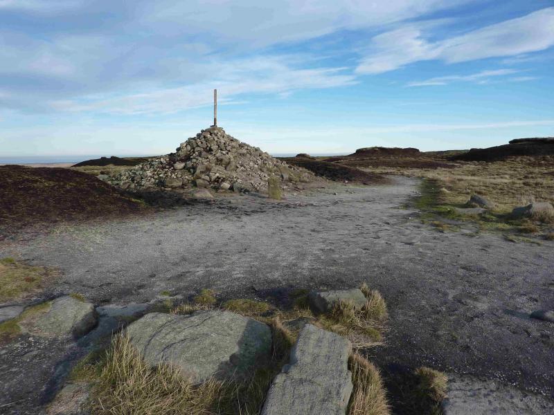
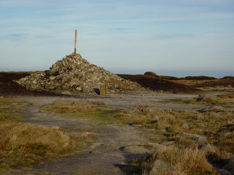
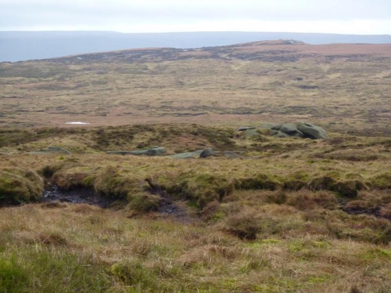
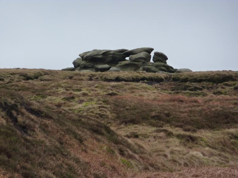
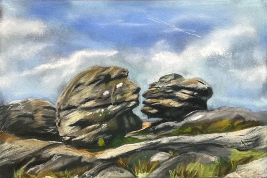
(2) The Hern Stones are the only outcrop between Higher Shelf Stones and Bleaklow Head and lie about 600 m NNE of the trig point. However, it is worth walking a little to the E of this line to look at the well scattered aircraft wreckage. The best line now seems to be turning into a path. It follows a gentle groove from the trig point heading about NE then gradually widens out to reach the start of the wreckage after about 400 m. The trig point should be in view from the higher part of the wreckage. One can then resume walking, on a reasonable, but boggy, path towards the Hern Stones which stand on a small mound. Unless one really wishes to visit the Hern Stones, the best, least boggy path lies about 200 m to their W. If visiting the Hern Stones, you are better on this path until level with the stones then walking E to the stones then retracing back to the path. From here, walk almost due N, faint boggy path, to soon reach the Wain Stones, an outcrop with three prominent boulders, two of which are very close. These two are known as “The Kissing Stones”. Close by is a cairn (seemingly vandalised on 24/4/17 leaving a scattering of stones on the ground; why people do this puzzles me. The hills are for everyone not just the self-proclaimed elite.) from where a path can be followed to a large cairn, with a stake in it, which marks the summit of Bleaklow Head, 633 m. A stone marker post is at the cairn for those following the Pennine Way down to Torside Clough but that is not part of this route. The post also indicates the Pennine Way going S.
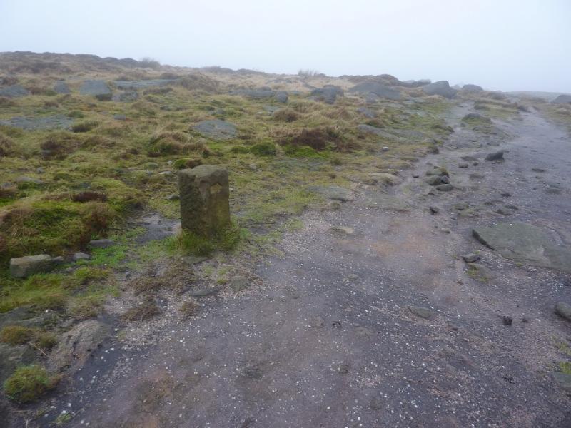
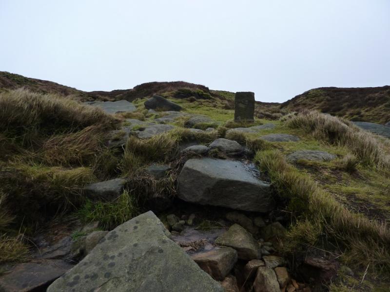
(3) Head S on the fairly obvious Pennine Way. Small marker stones, similar to the one by the summit cairn, will be passed to confirm you are on the right route. The path is quite rough and boggy in places and wanders a fair way to the E of the direct line back to the Snake summit but eventually does lead there.
Notes
(a) This walk took place on 24th March, 2017.
(b) It is possible to also include Bleaklow Stones but will add about 5 km of walking and about 90 minutes. The route has to be retraced back to Bleaklow Head but Bleaklow Stones is a far more interesting area than Bleaklow Head. Details of this detour are:
The continuation to Bleaklow Stones is not obvious even in clear weather. Walk roughly E. There is a path but it is not very obvious. Later on some very widely spaced posts appear and these are a good guide as a good path is close to them. If you are off path then expect a lot of boggy up and down. After about 2 km, a mound should be visible ahead. As you get closer, it will look to have some outcrops. Once reached, there is very distinctive rock which resembles an anvil. This area is Bleaklow Stones, c620 m. There is no summit cairn but plenty of rocks with interesting shapes. A separate route incorporating this detour is uploaded.
(c) The painting at the end of the photos is of the Kissing (Wain) Stones, by Katina Johnson, a very talented artist from Lincolnshire. It is well worth looking at her website which is https://katinajohnsonart.com/
Photos - Hover over photo for caption. Click on to enlarge. Click on again to reduce.