Get Lost Mountaineering
You are here: England » Peak District » Kinder, Mam Tor ridge, Rushup Edge, Brown Knoll & Win Hill from Edale
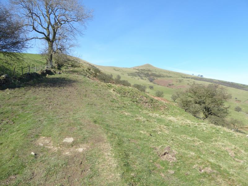
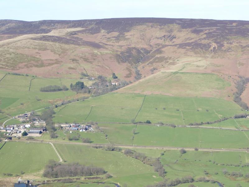
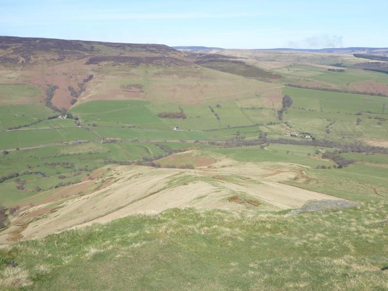
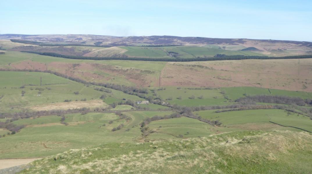
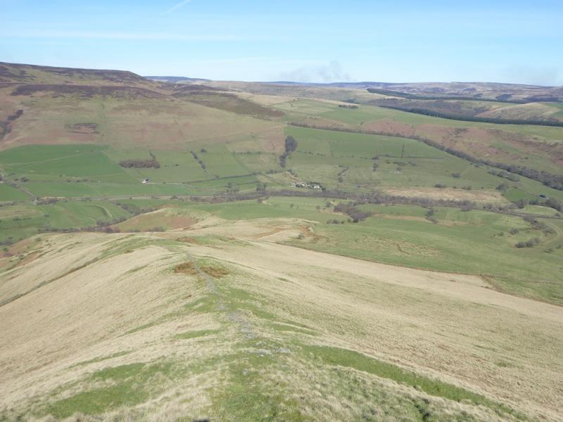
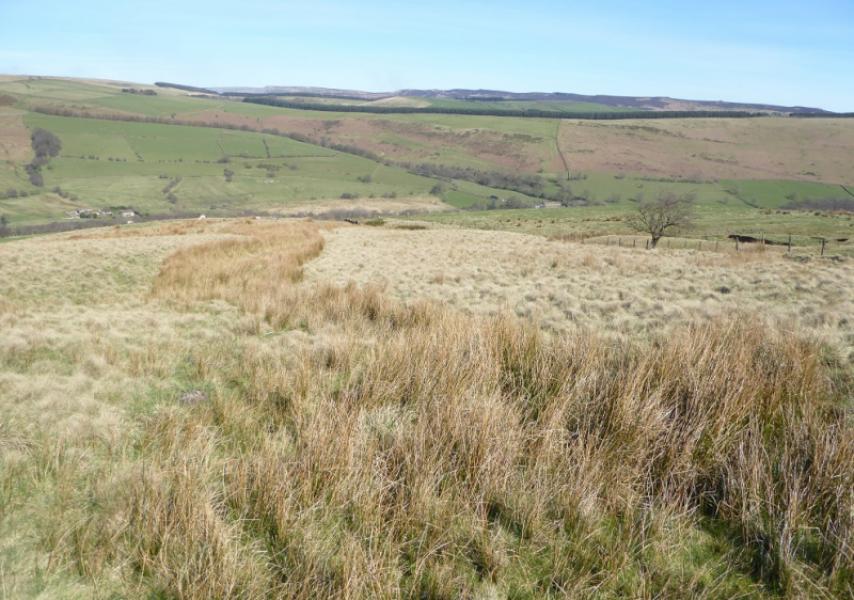
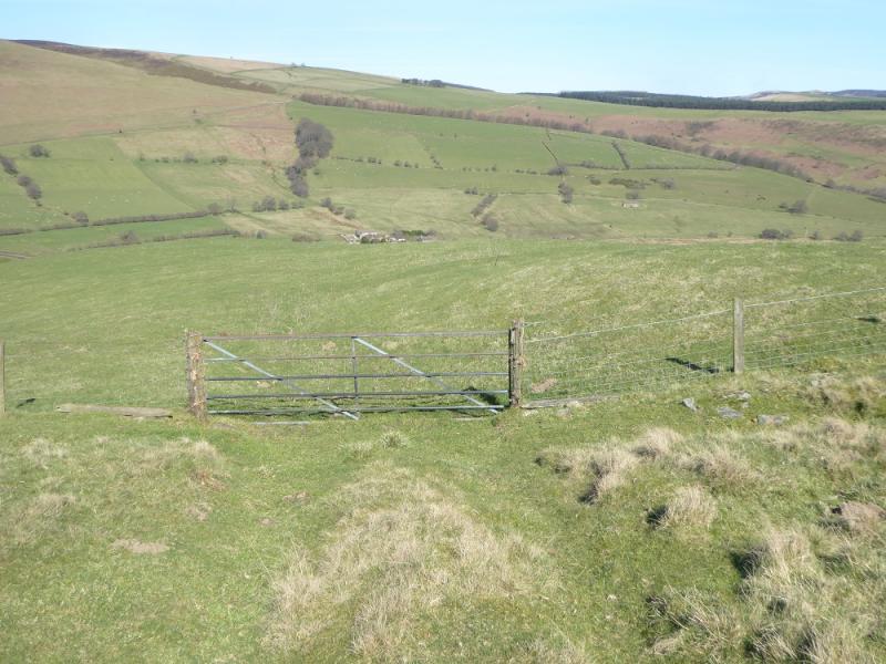
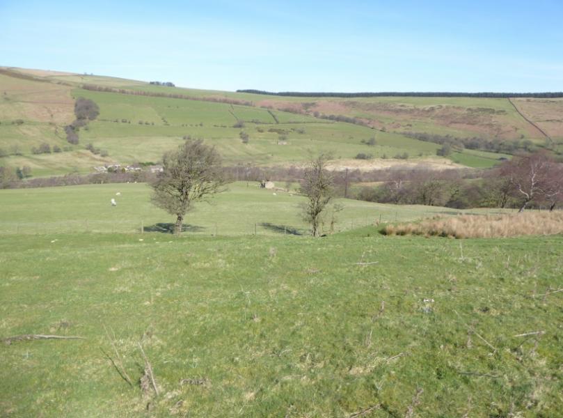
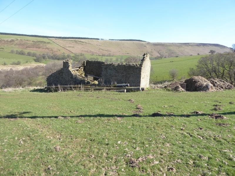
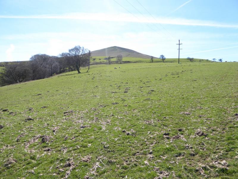
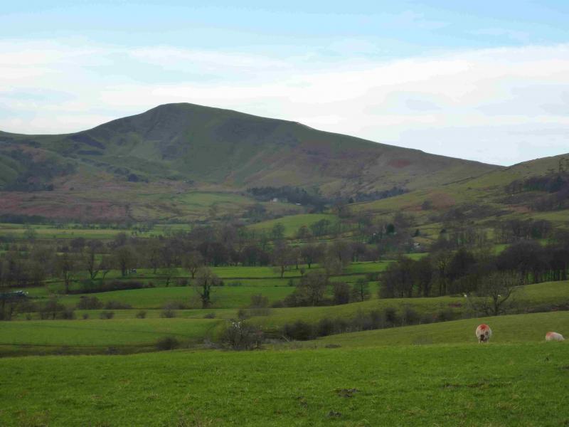
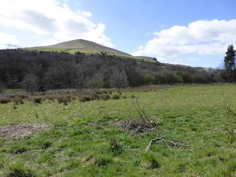
Lose Hill descending N ridge from Townhead
Lose Hill descending N ridge from Townhead
Start/Finish
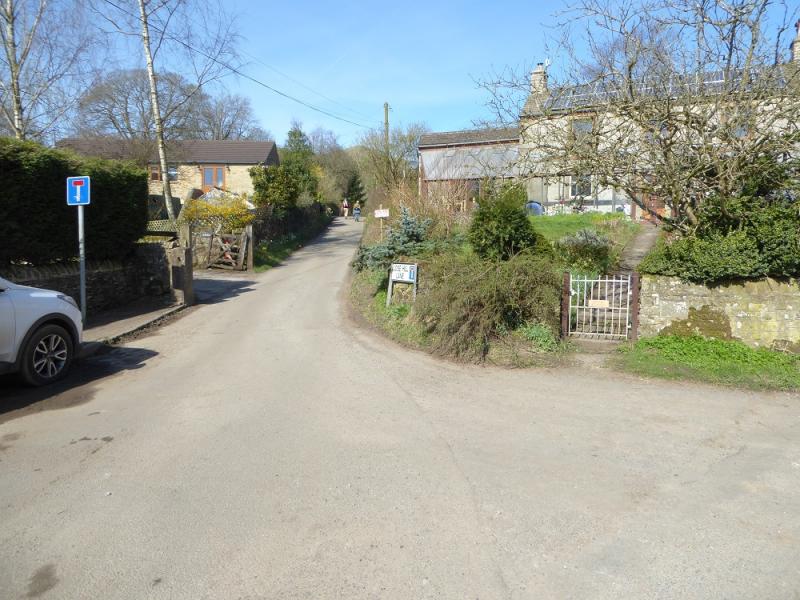
Near where the minor road for Townhead leaves the Edale road, from |Hope, just before Townhead Bridge (the first bridge from Hope). Parking is very limited and one may have to park nearer Hope. The minor road is about 1 mile from Hope. There are toilets in the pay and display car park in Hope.
Distance/Time
7 km. About 2 - 3 hours.
Peaks
Lose Hill, 476 m, SK 153 853.
OS Outdoor Leisure 1: Dark Peak
Introduction
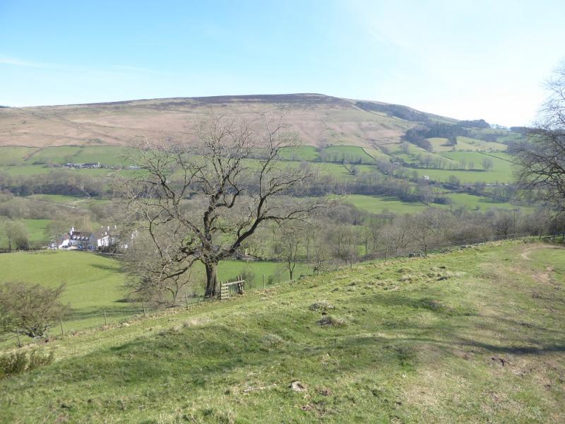
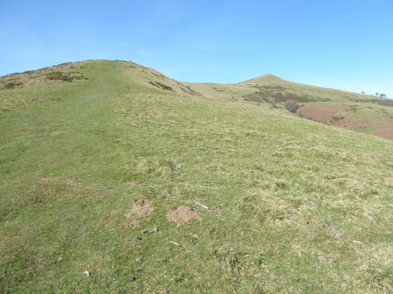
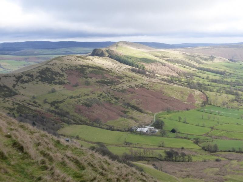
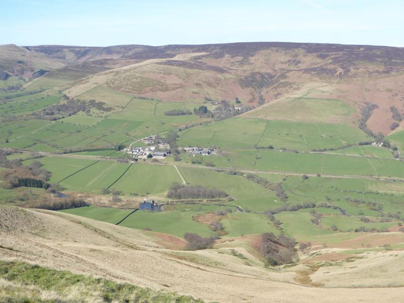
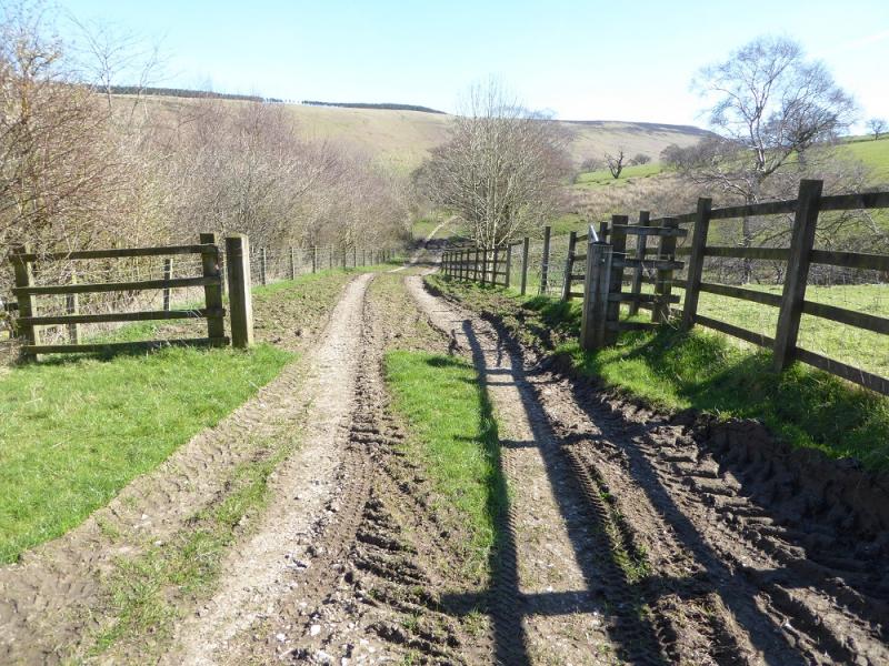
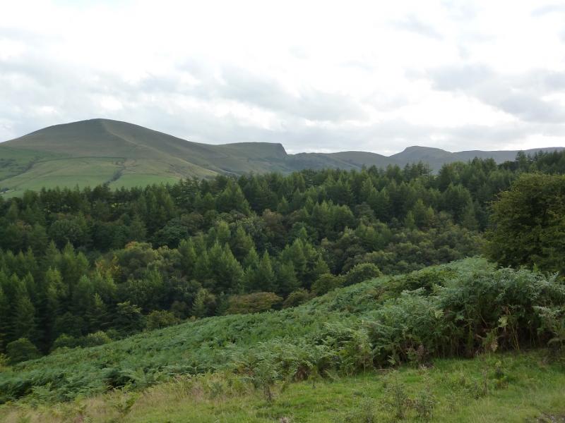
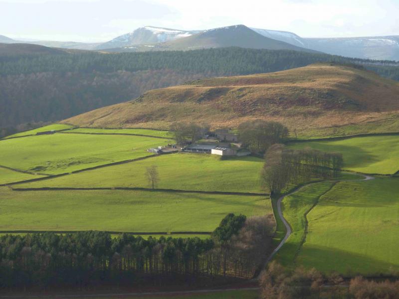
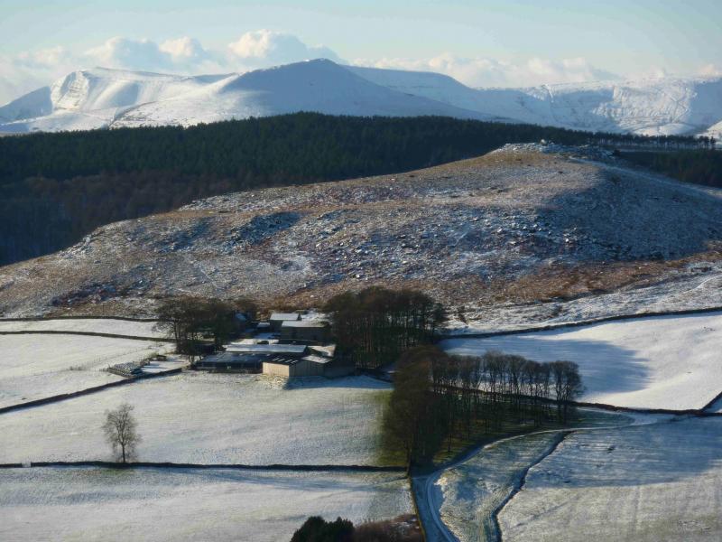
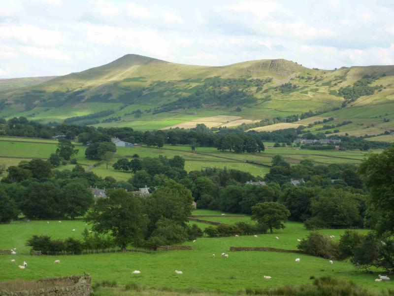
This is a short but pleasant walk in the Dark Peak which, in good weather has good views of Win Hill, Edale and Kinder as well as the continuation of the ridge from Lose Hill to Mam Tor. The descent goes down the N ridge where there is a faint path which is not on the map and probably not a right of way. The return path/track along the valley bottom can be very boggy in places. The ascent up Lose Hill is steepish and fairly strenuous
Route
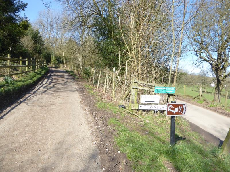
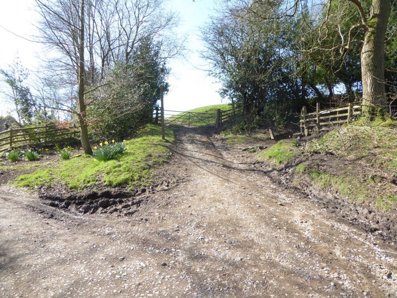
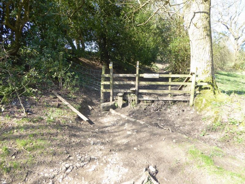
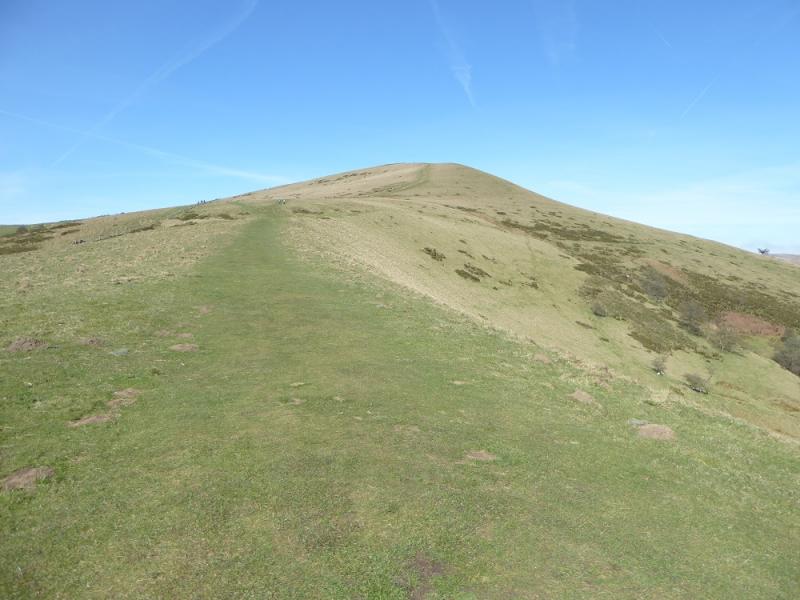
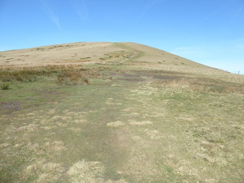
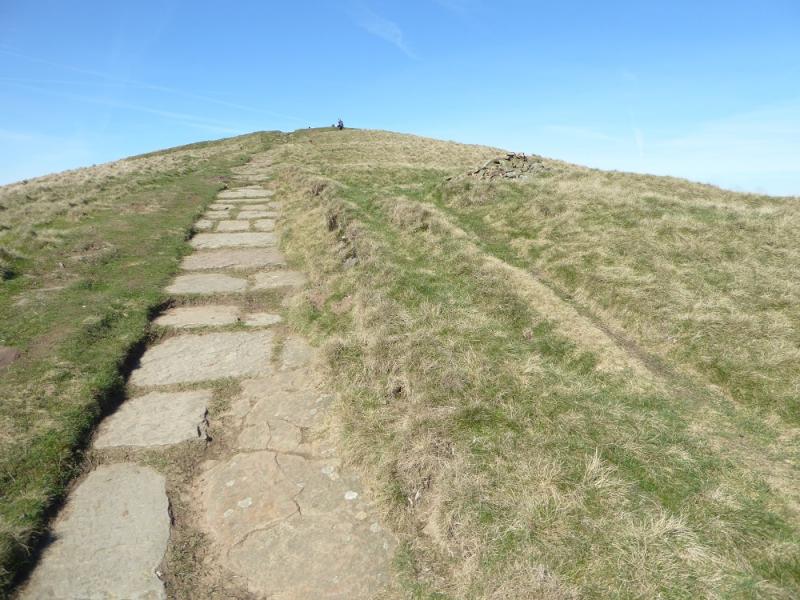
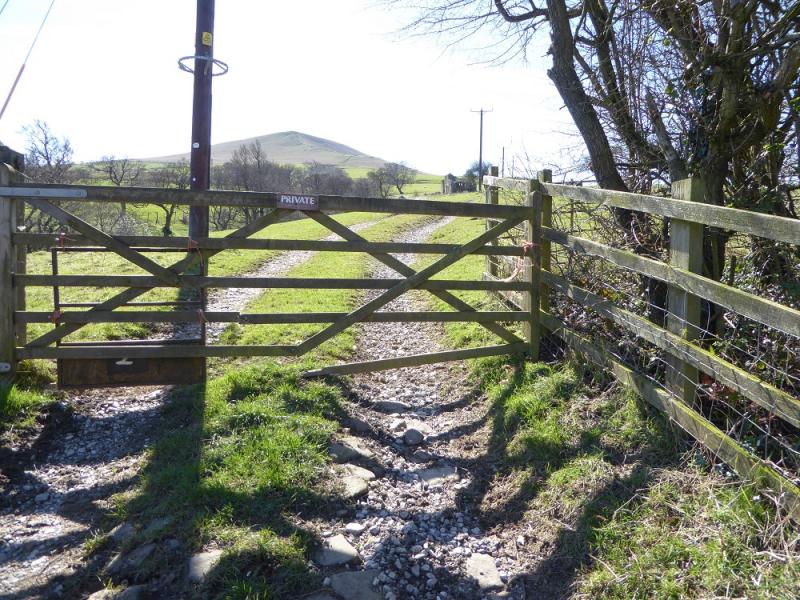
(1) Walk up the minor road forking left before Townhead Bridge. When the road splits, take the left fork and continue to the entrance to Townhead where the path goes right just before the gate ahead. Follow the path up. Higher up, it is on short grass which can be very slippery when wet. The last section is a constructed path which leads to the viewfinder cairn which is the summit of Lose Hill, 476 m.
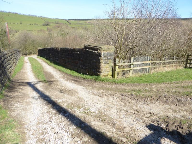
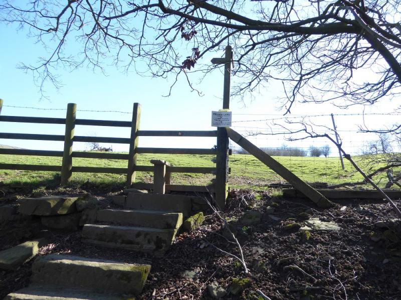
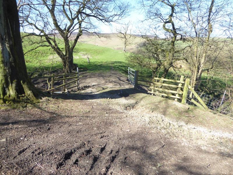
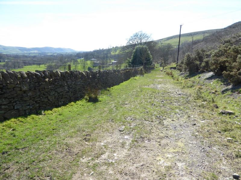
(2) Descend, roughly N, down a reasonably well defined but steepish ridge. Lower down a broken wall can be followed which is heading for the bridge over the railway to the S of Carr House Farm. A stream develops to the left, W, of this wall and one can go down either side. Fences have to be crossed which have barbed wire on their tops. On the left side, gates can be climbed over – these tend to be to the left of the line down. A final gate, marked private on its other side (!), gives access to a track and the bridge over the railway. Do not Cross the railway but walk E along the track. In under 1 km, reach the track coming from the road near Bagshaw Bridge. Cross Fiddle Clough to reach the stile up a low bank. Vross the stile and walk ESE then S on a fairly obvious track, boggy in places, passing Normans Farm and Oaker Farm. Pass Lose Hill House and continue to reach the fork below Townhead. Walk downhill to the Edale road.
Notes
(a) This walk took place on 25th March, 2017.
Photos - Hover over photo for caption. Click on to enlarge. Click on again to reduce.