Get Lost Mountaineering
You are here: Scotland » 17 Islands » Rum
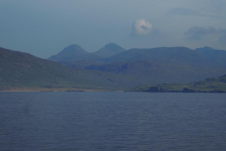
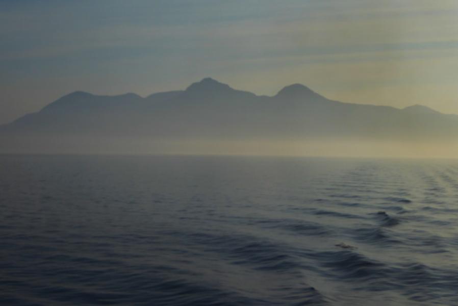
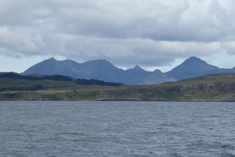
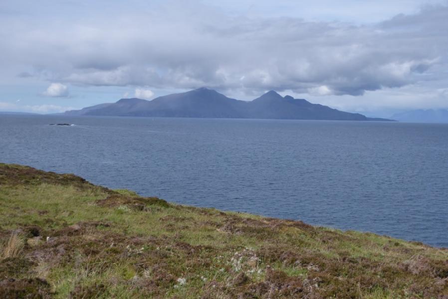
Ainshval, Sgurr nan Gillean & Harris from Kinloch
Ainshval, Sgurr nan Gillean & Harris from Kinloch
Start/Finish
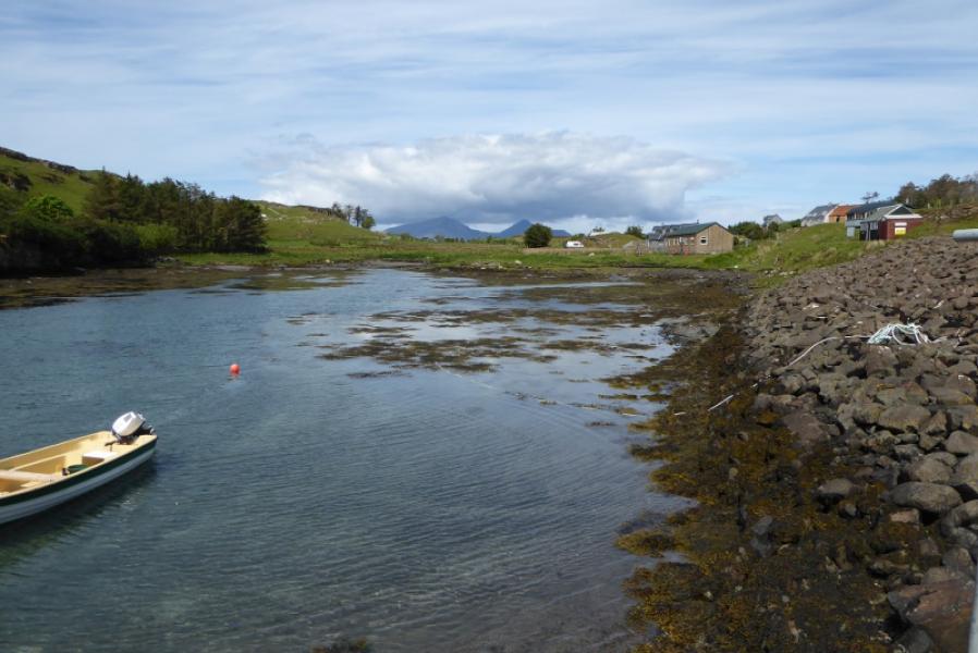
Rum bunkhouse.
Distance/Time
25 km. About 9 – 10 hours.
Peaks
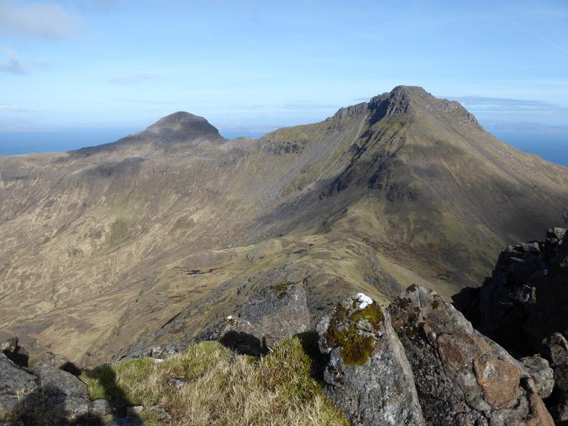
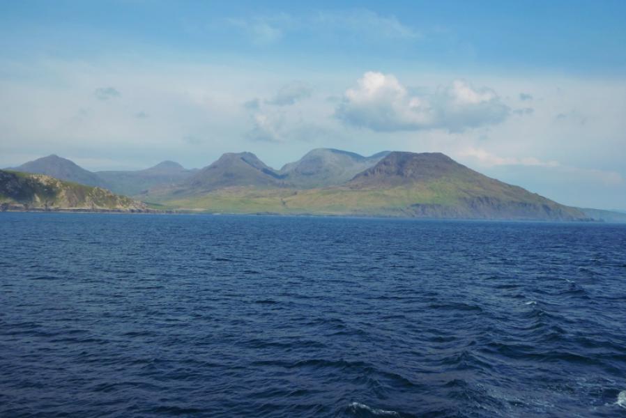
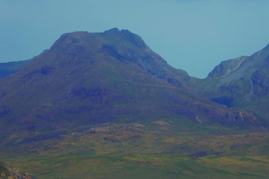
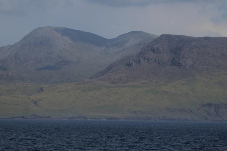
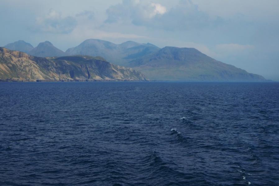
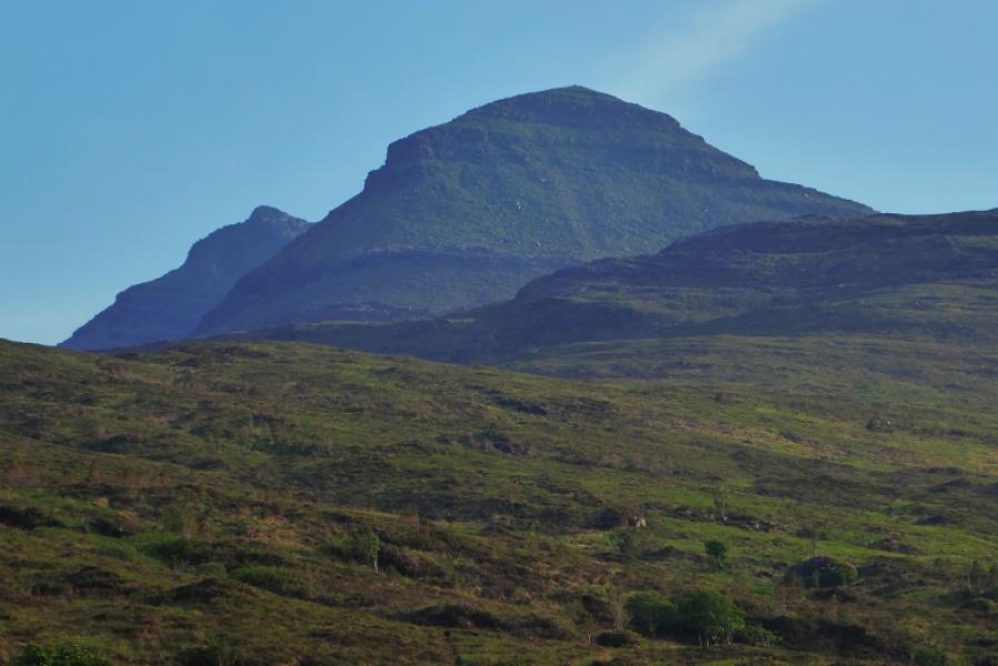
Ainshval, 781 m, NM 378 943.
Point 759, 759 m, NM 377 936.
Sgurr nan Gillean, 764 m, NM 380 930. OS sheet 39: Rum and Eigg.
Introduction
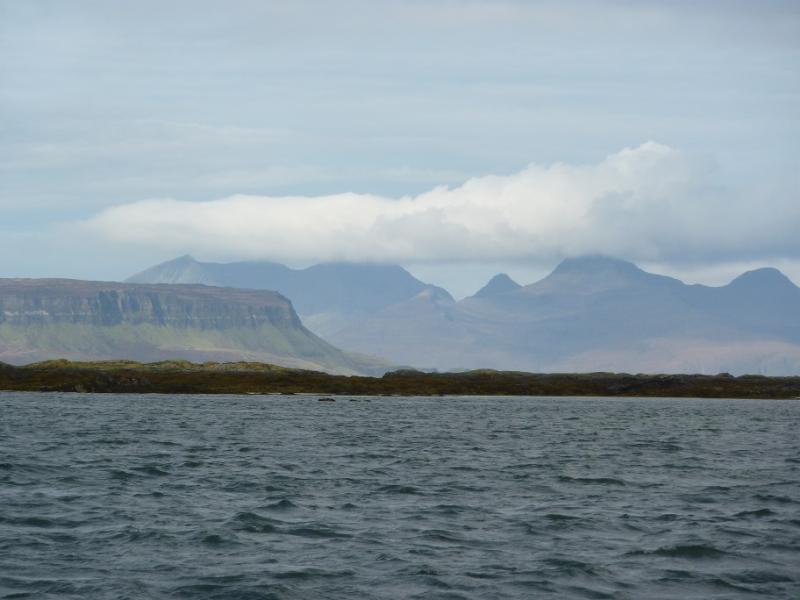
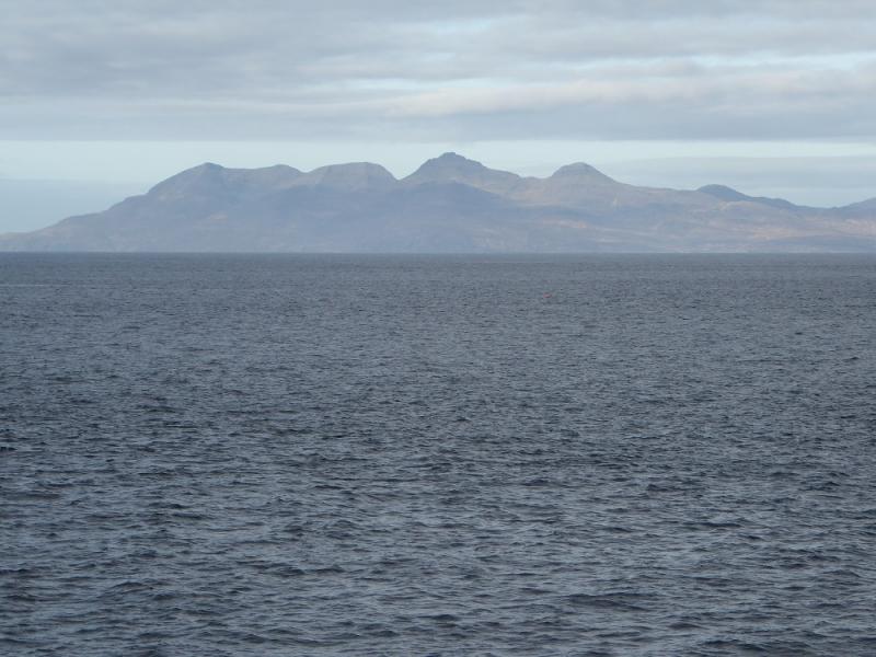
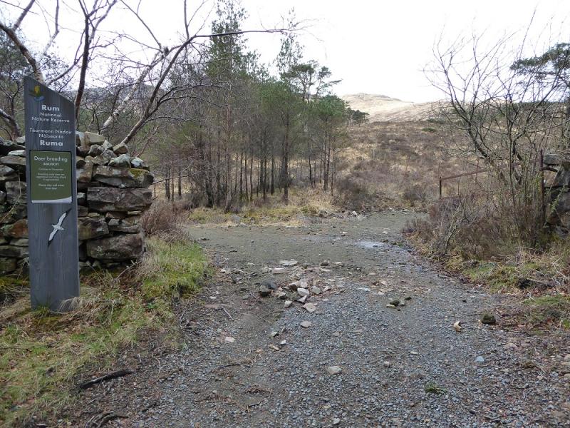
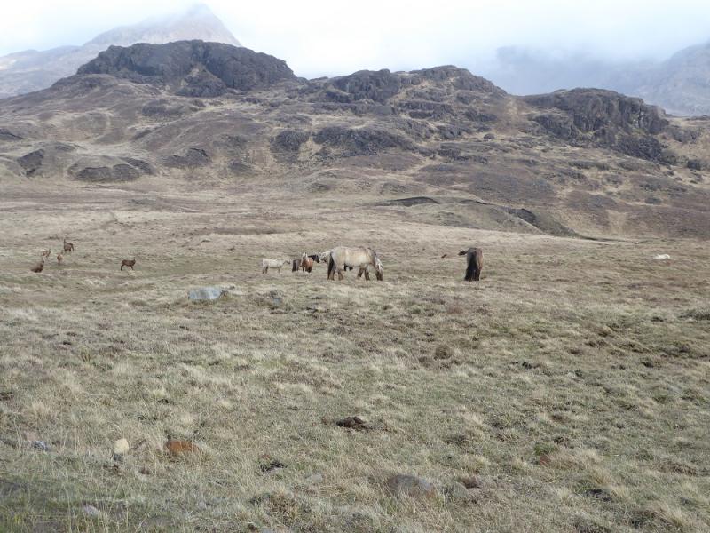
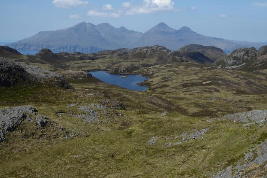
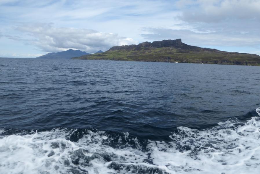
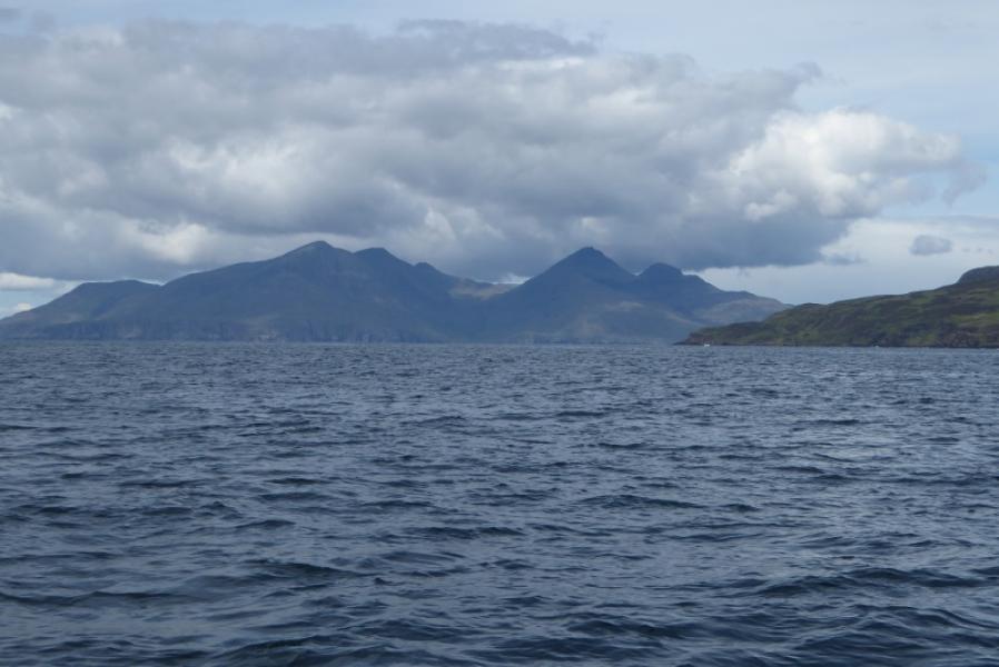
Rum is the largest of the small isles but has a very small permanent population (about 30 in April 2017). For its size, the facilities are surprisingly good. There is the famous Kinloch Castle, seemingly now in decline but parts are still open at times. The old hostel was the servants rooms in the castle but that is now closed since a brand new bunkhouse was built near the shoreline. The bunkhouse is superb with a lovely large lounge, excellent kitchen, lots of small rooms, drying room and showers. It has central heating and is very well insulated. Bed linen (duvets) are provided with towels available to hire. The bunkhouse is so good that it is frequently booked up so plan well ahead and hope the weather will be kind. There is a shop/post office nearby which has limited opening hours so it is advisable to check this in case food has to be taken in. The ferry from Mallaig takes about 90 minutes depending on which route it takes. The mountains on Rum are Black Cuillin, as on Skye, so the principle rocks are gabbro and basalt. Gabbro is an almost perfect rock to scramble on giving much friction when dry. There are two drawbacks to Rum: the midges are very bad in the summer so go prepared and your compass will not work owing to the magnetic nature of the rock.
Route
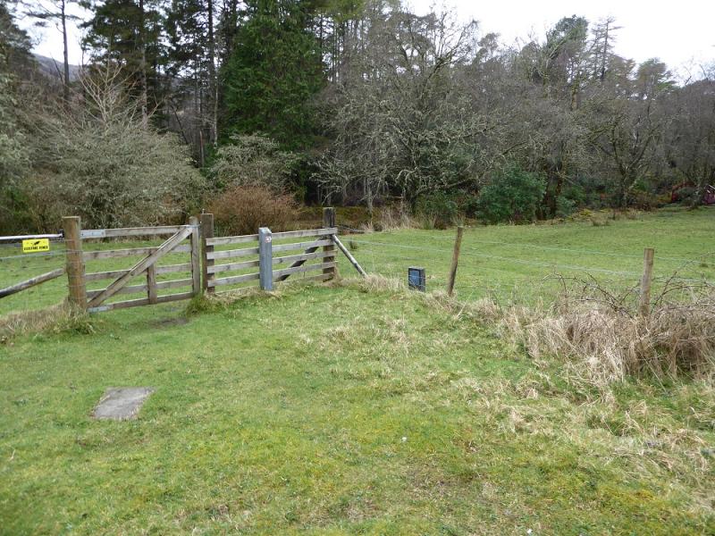
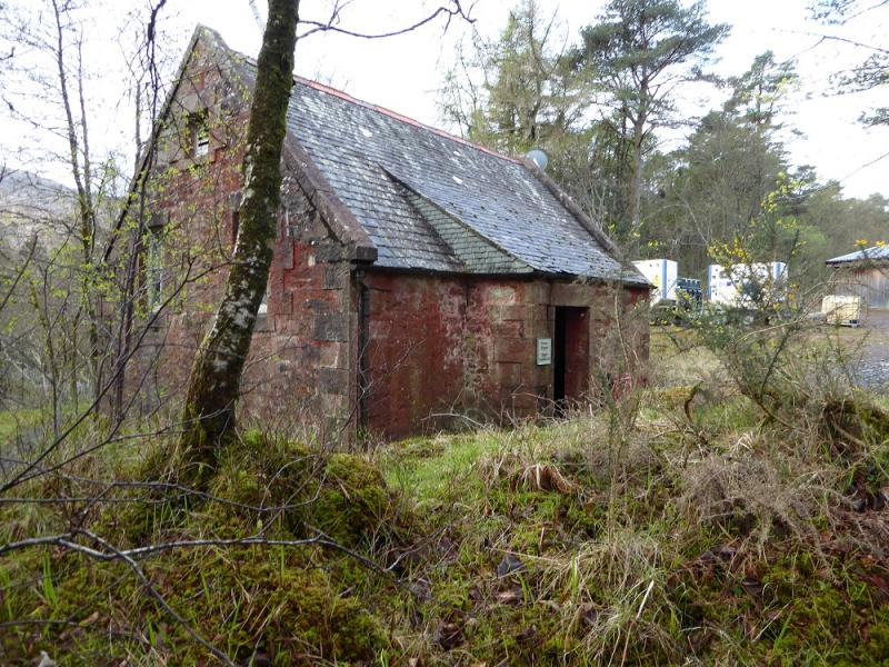
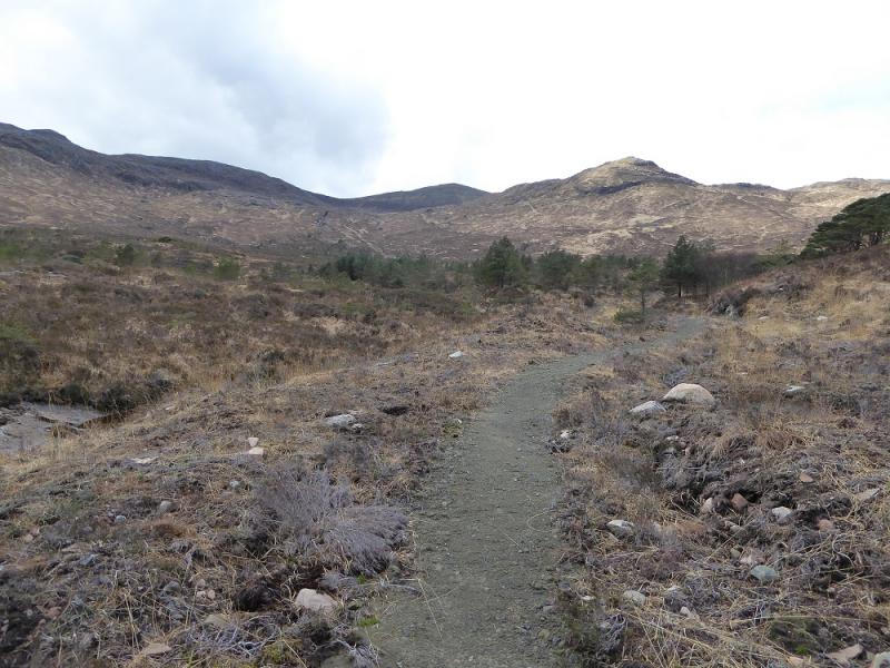
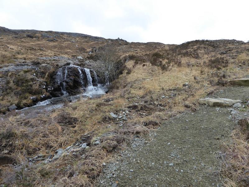
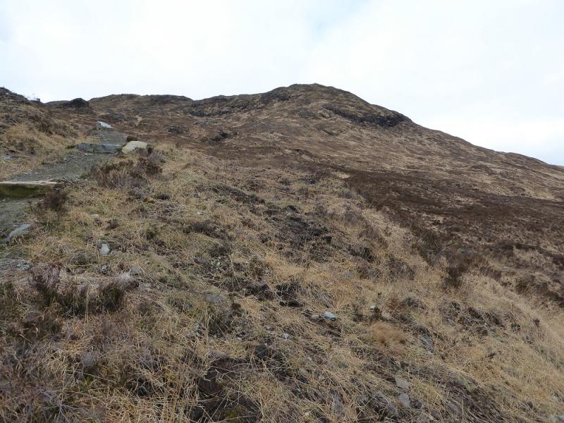
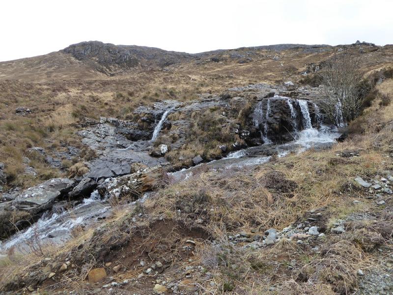
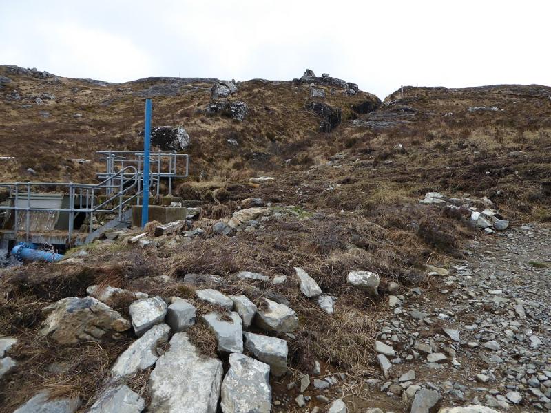
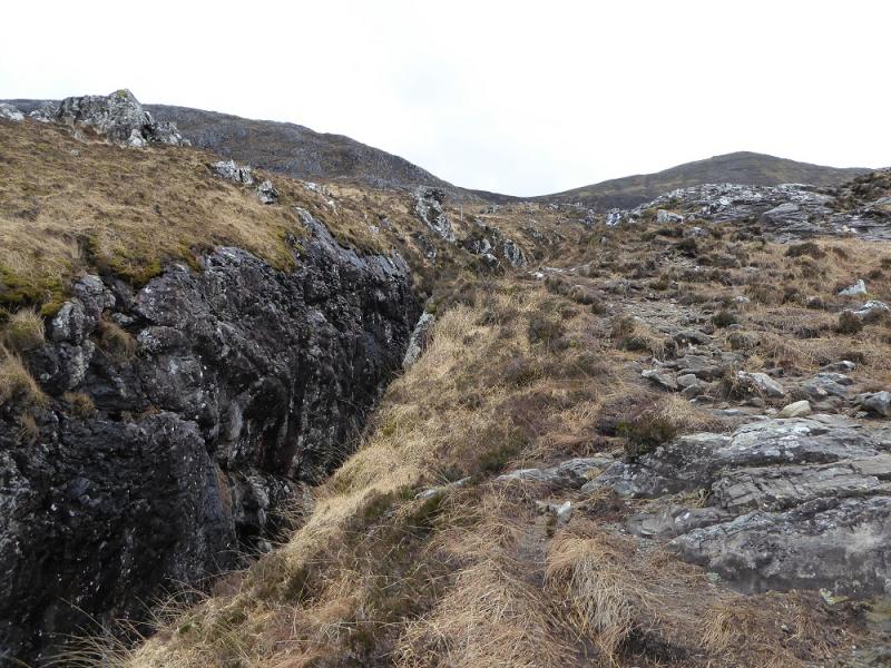
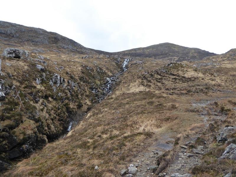
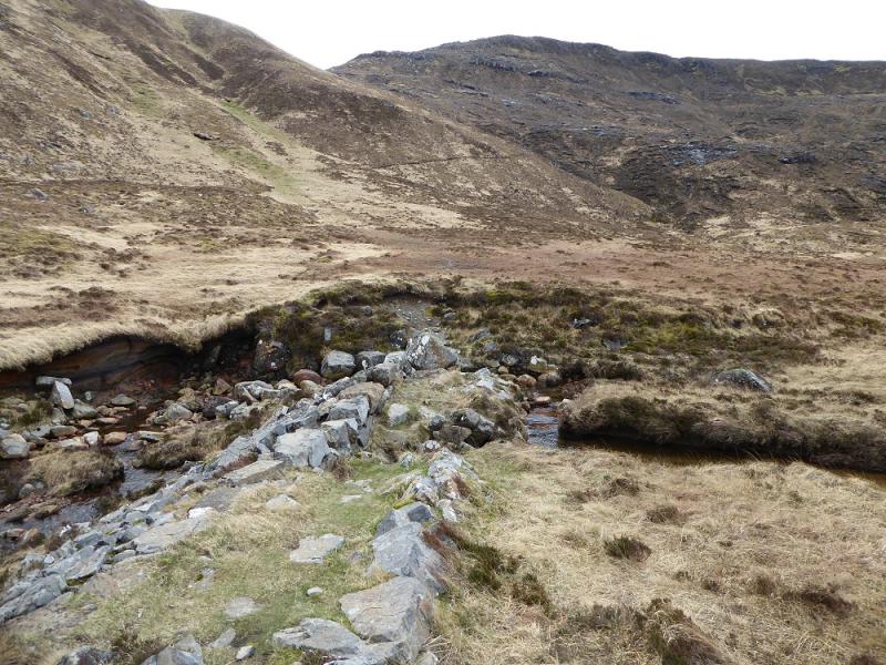
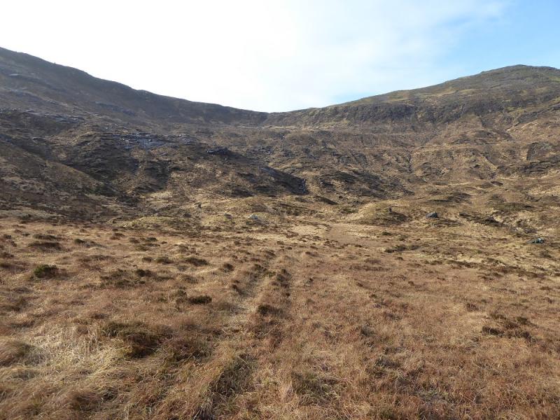
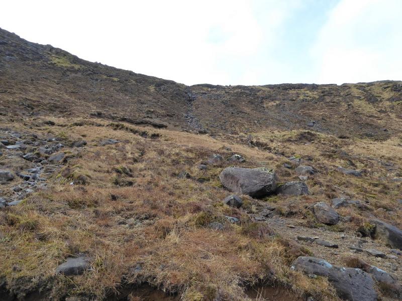
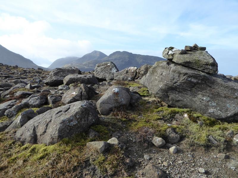
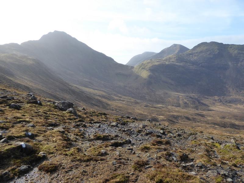
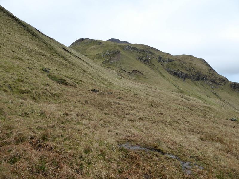
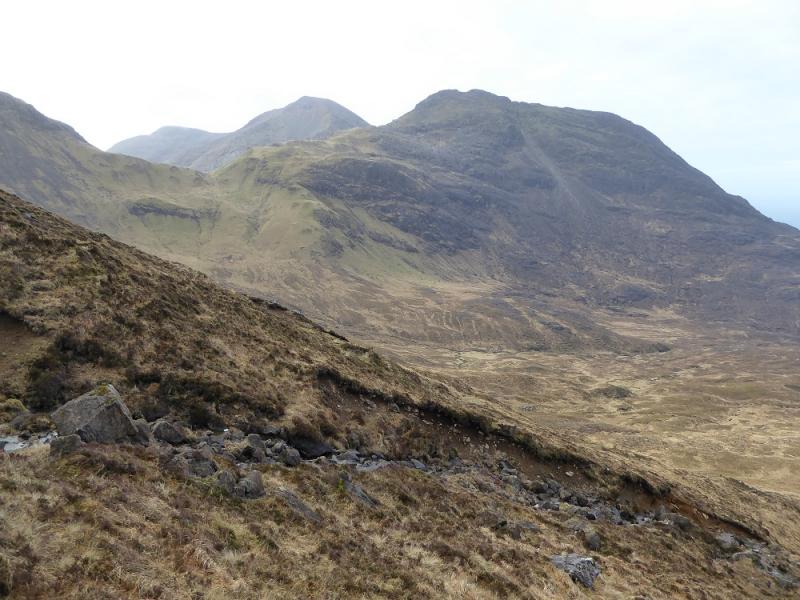
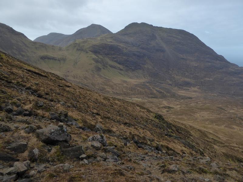
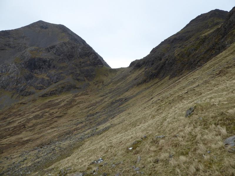
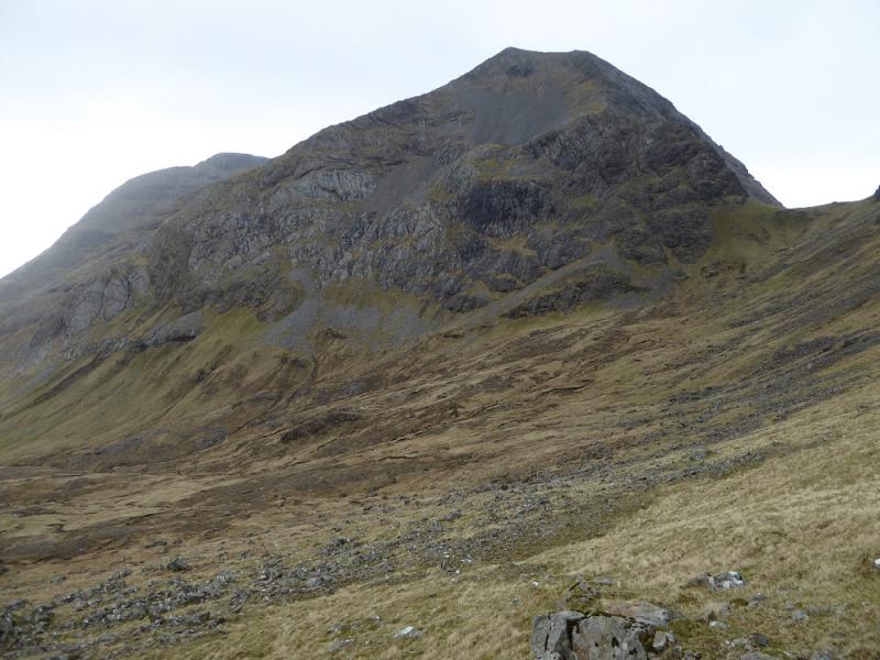
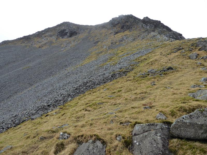
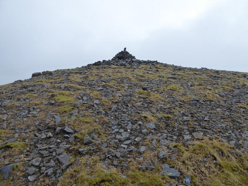
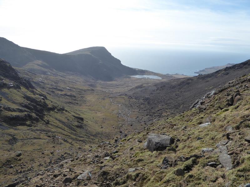
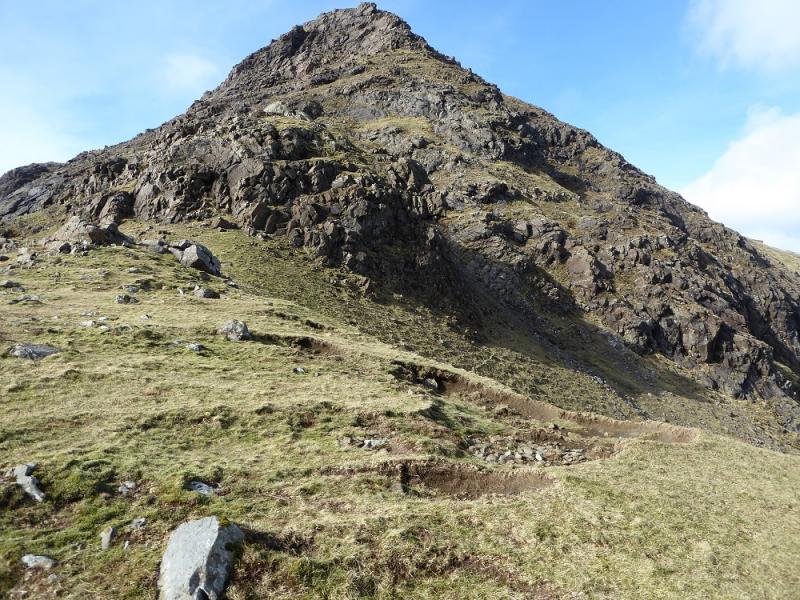
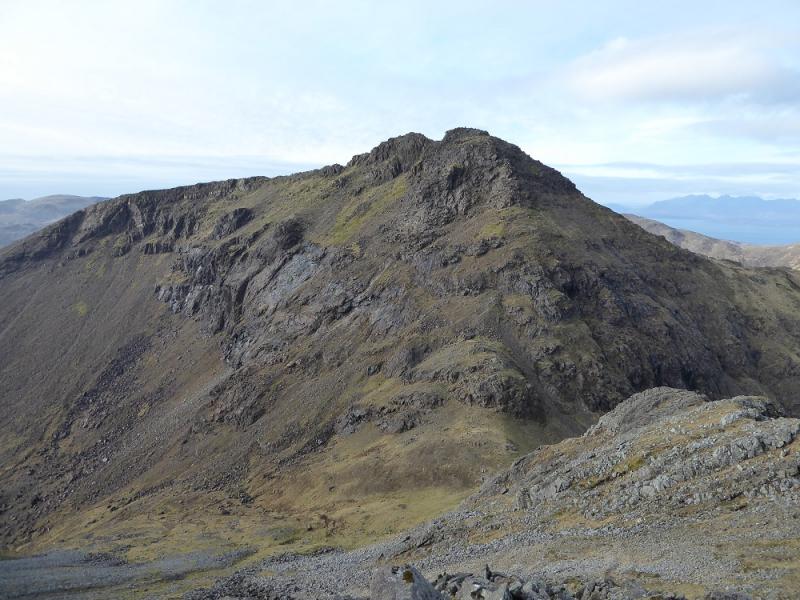
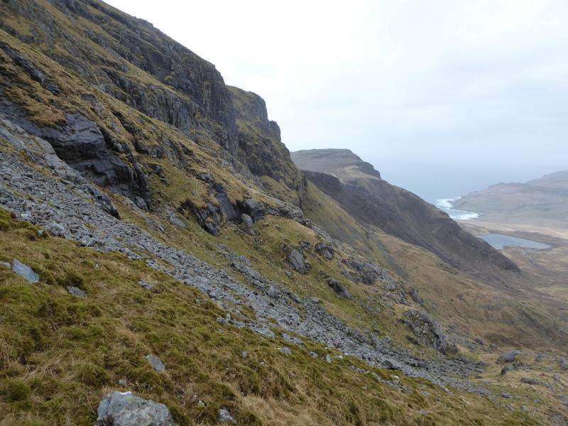
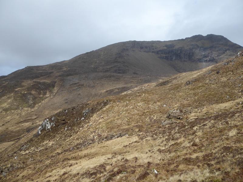
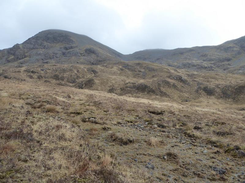
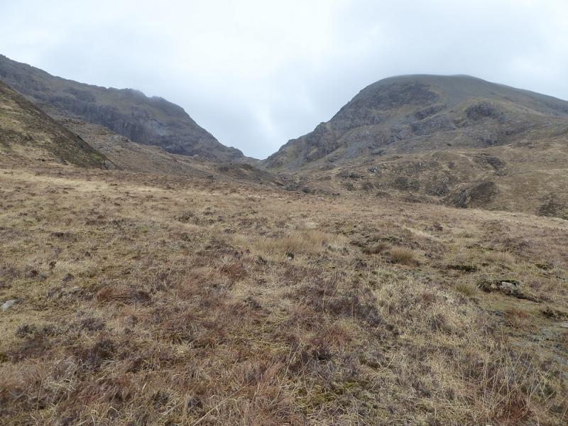
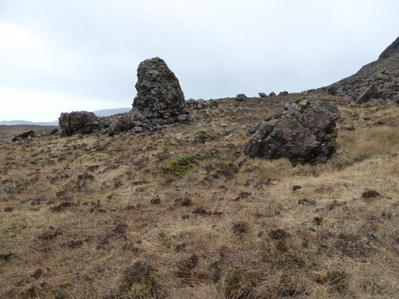
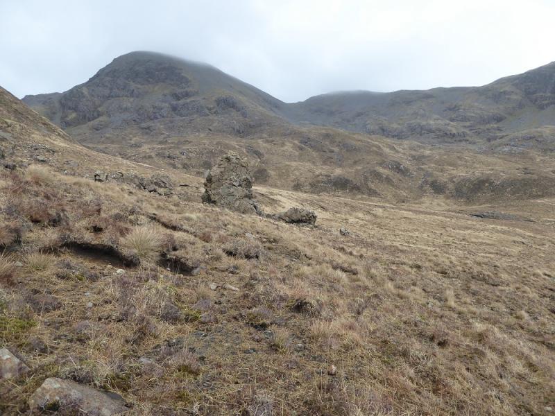
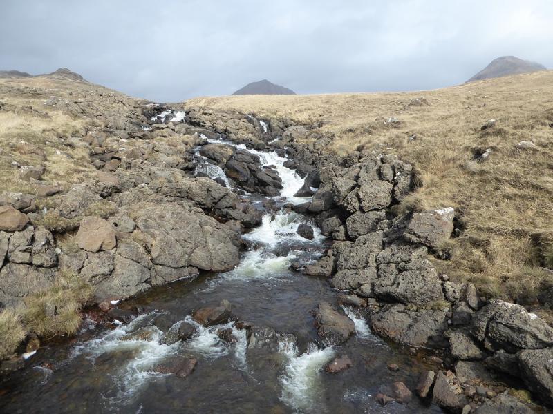
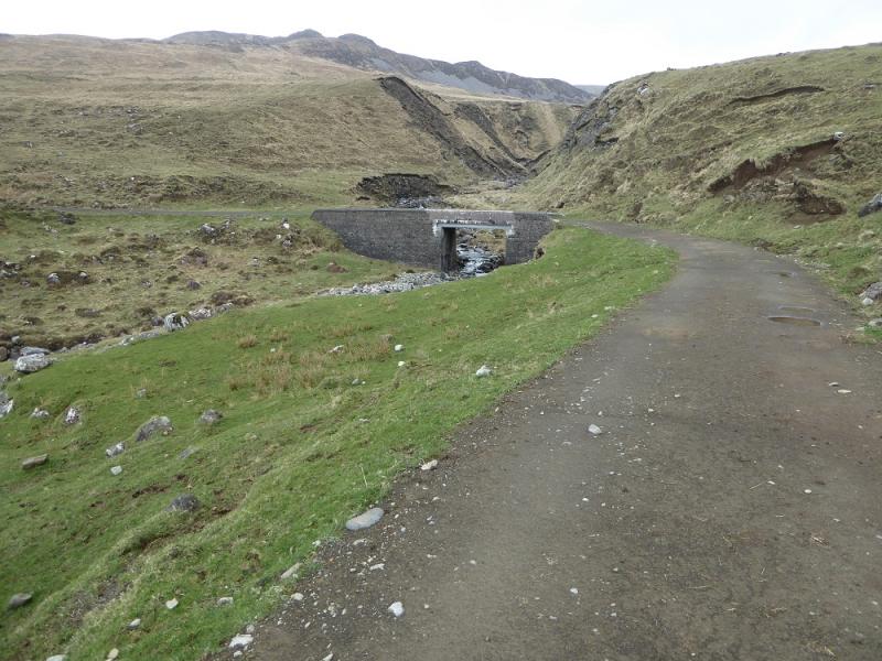
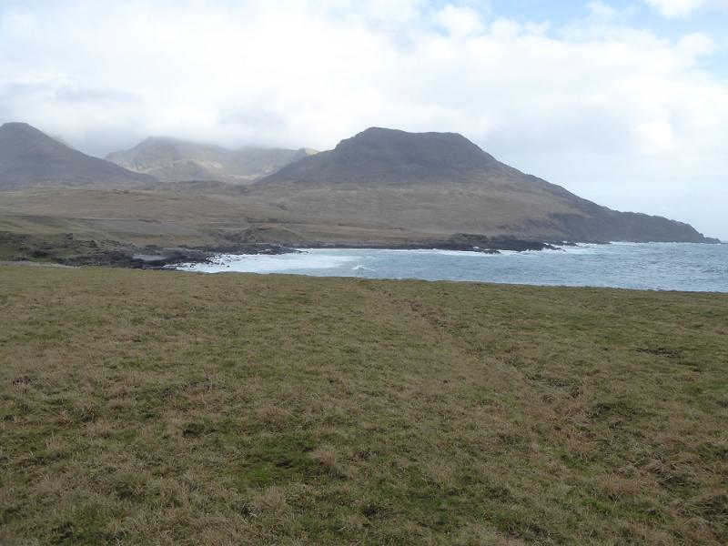
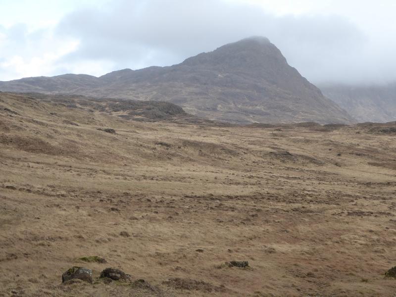
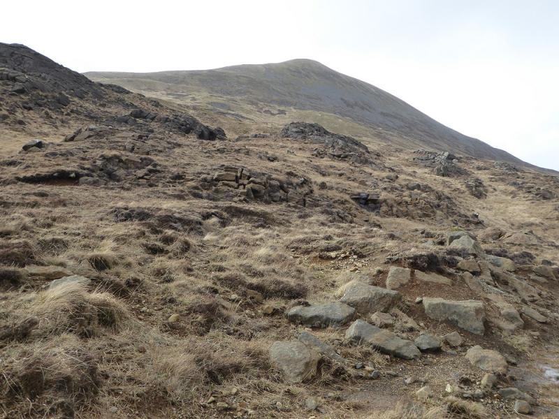
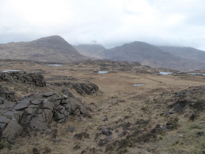
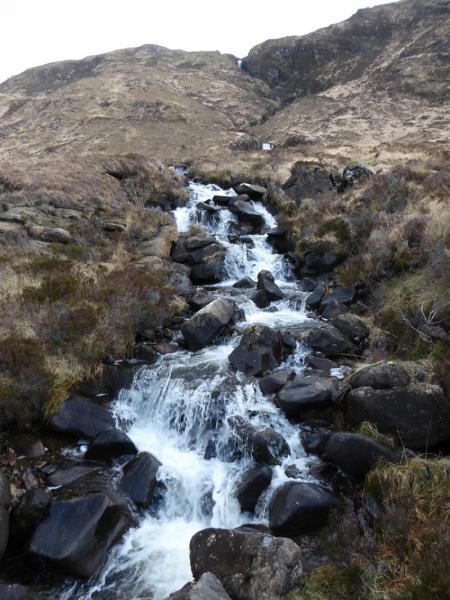
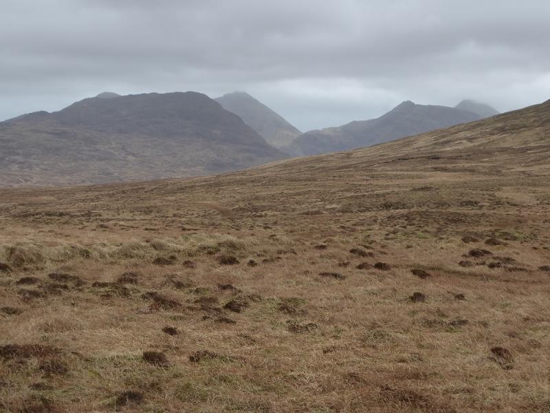
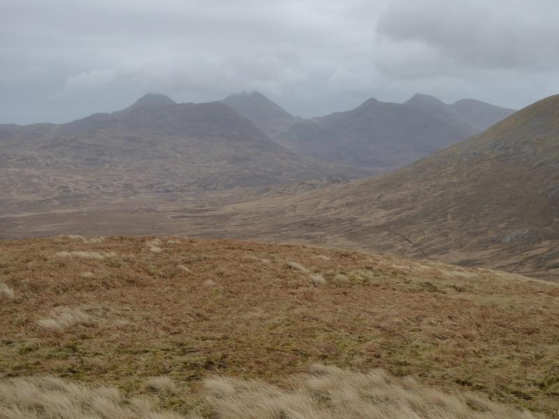
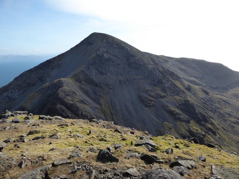
(1) From the bunkhouse, walk to the castle and start walking around it. At the first corner is a gate in a fence which is the start of the path. Go through this and head straight for the obvious stream which has flowed down from Coire Dubh. Follow the path (do not cross any bridge) to join a rough track which goes past a stone building called “The Powerhouse” where hydro-electricity is generated and was actually pioneered on Rum. After The Powerhouse, the track becomes a wide, recently created, path. It crosses various tributaries before reaching a small dam where the new path ends. A rough path takes over and continues up the side of the stream, passing a small gorge. Higher up, the remains of a small causeway are crossed then one continues in the same direction (do not head for the obvious path to the left) across wet ground before starting a direct ascent, almost due S, up Coire Dubh. A distinctive path soon appears and goes almost to the Bealach Bairc-mheall where there is a cairn on a rock. The next stage is a traverse of Atlantic Corrie below Hallival and Askival. There is a faint path, with some tiny cairns, but it is not easy to find and follow but it is much easier to traverse the corrie on the path than off it. If it is lost, the path can usually be picked up again at one of the few stream crossings. The path does lose some height, for better ground, before a final ascent to the Bealach an Oir (between Askival and Trallval) with the final part being on a fairly distinct path. From the bealach, traverse around the SE side of Trallval on another faint path to reach the higher Bealach an Fhuarain (between Ainshval and Trallval). A buttress guards the bottom of the N ridge of Ainshval so follow the path around its W side, R, then up, through some scree and fairly steeply, to the crest above the buttress. A path goes up, just below the crest on its left, E, side which is easy to ascend when dry but a little awkward when wet. The path joins the crest, at a very small cairn, a short distance from the large cairn which marks the summit of Ainshval, 781 m.
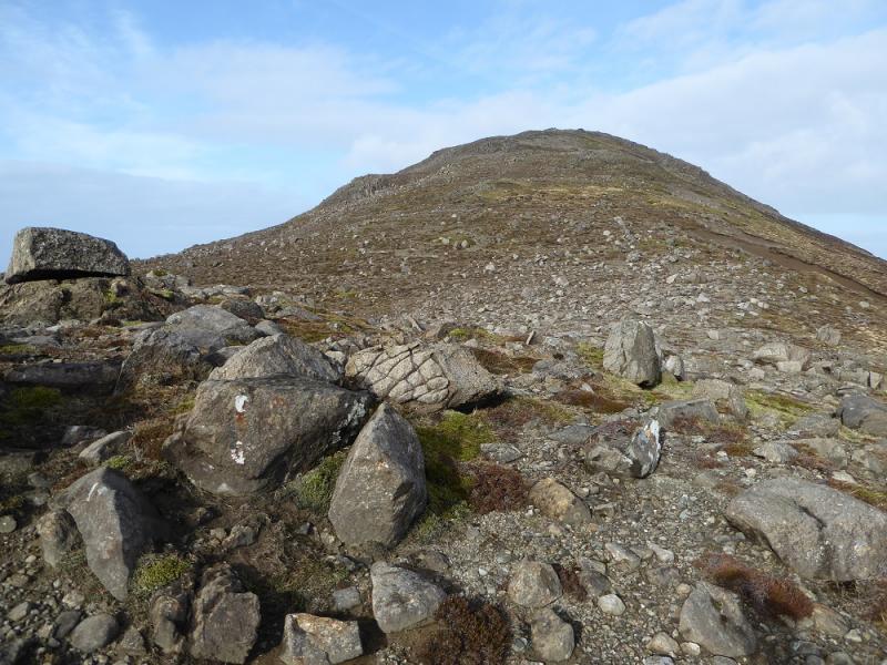
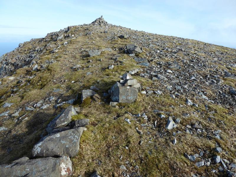
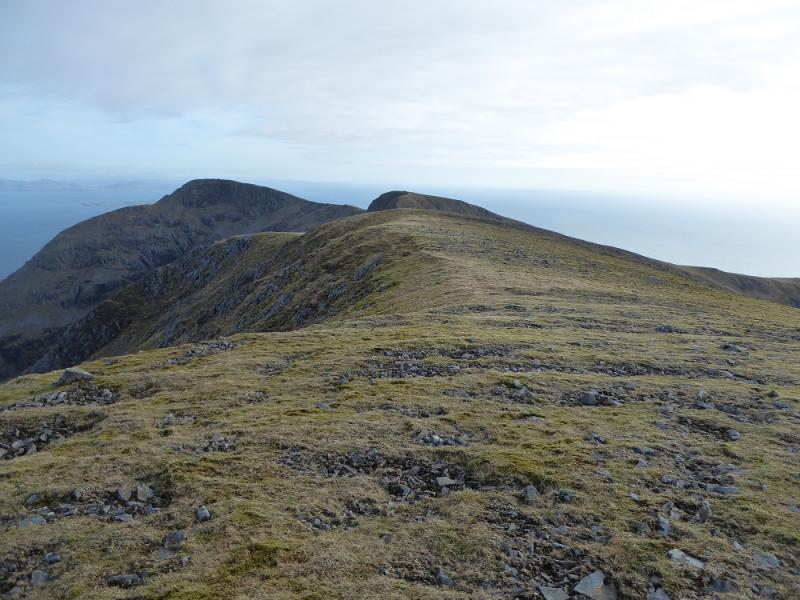
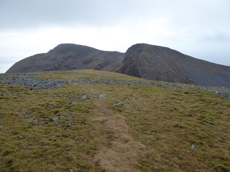
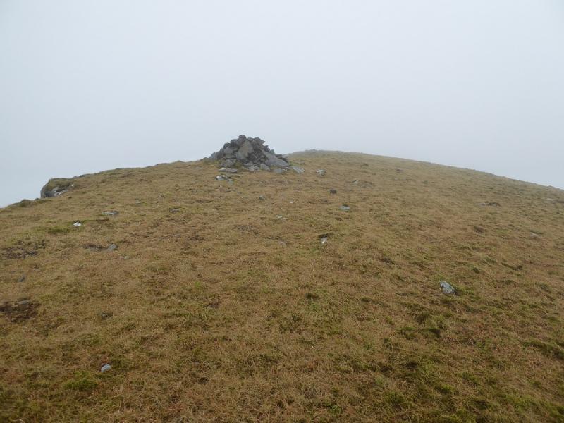
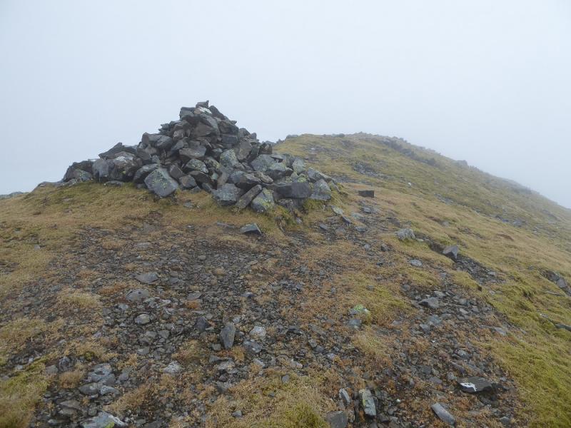
(2) Continue along the well defined crest to a col then ascend the steep rocky ridge, where there is a good path, to reach a small plateau where a medium cairn marks the summit of Point 759, 759 m.
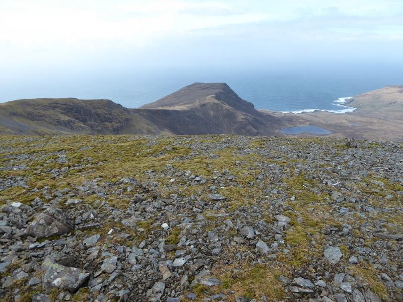
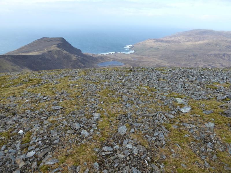
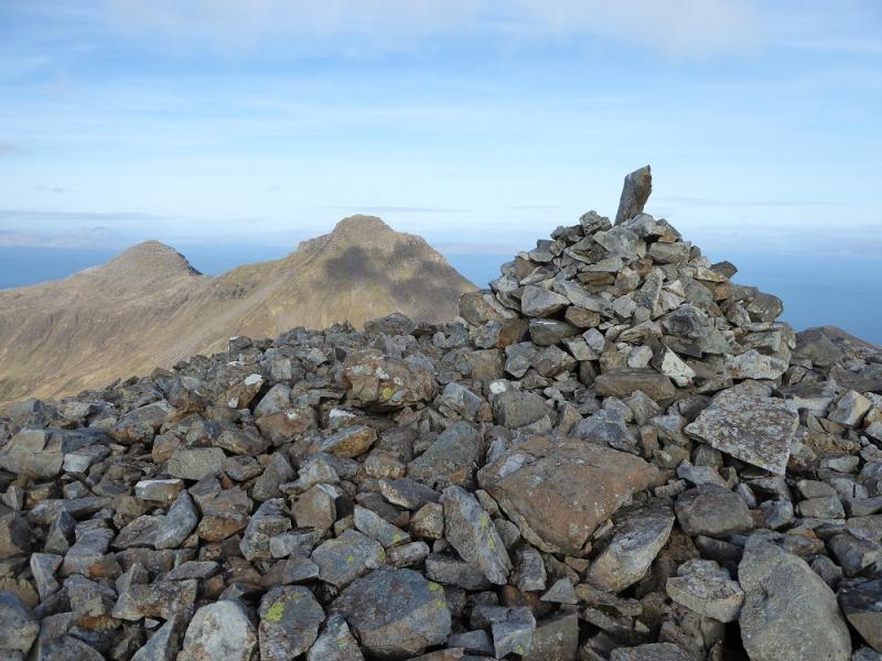
(3) Continue along the ridge, descending to a shallow col then ascend easily to another medium cairn which marks the summit of Sgurr nan Gillean, 764 m.
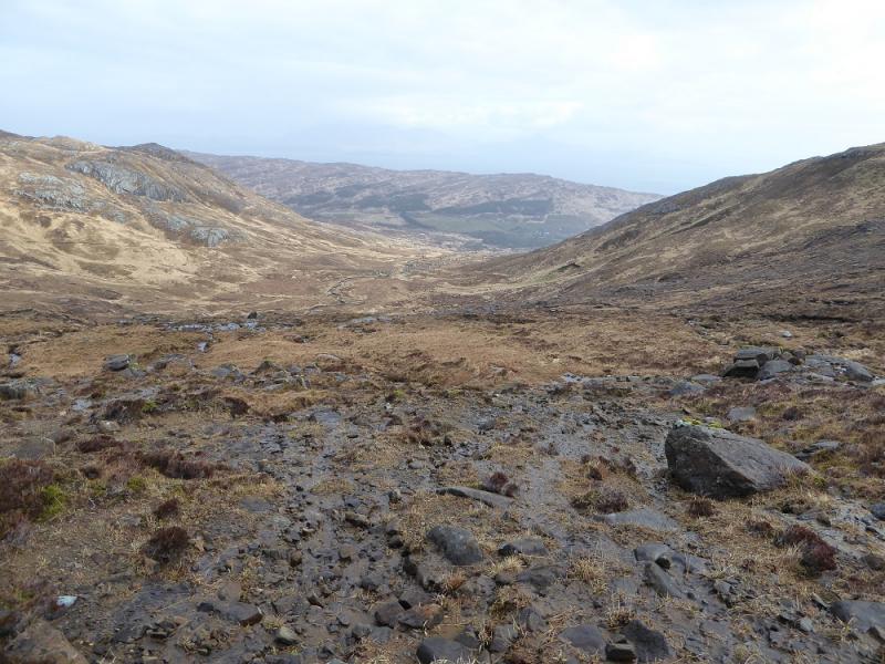
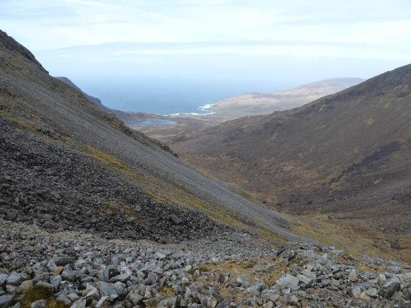
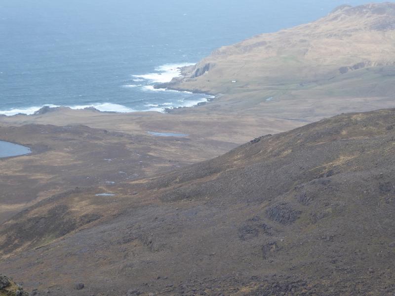
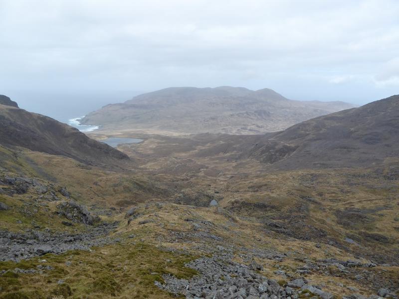
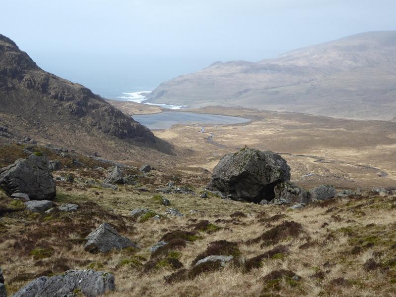
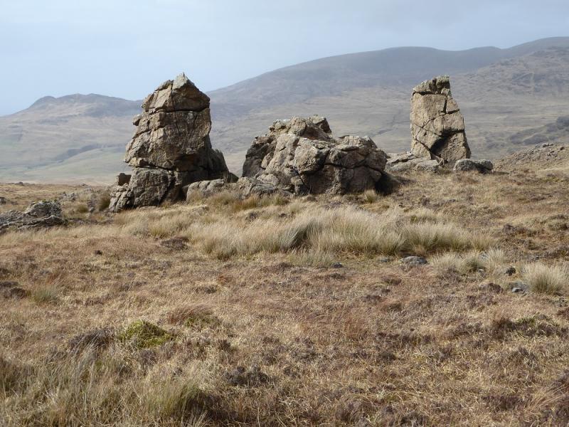
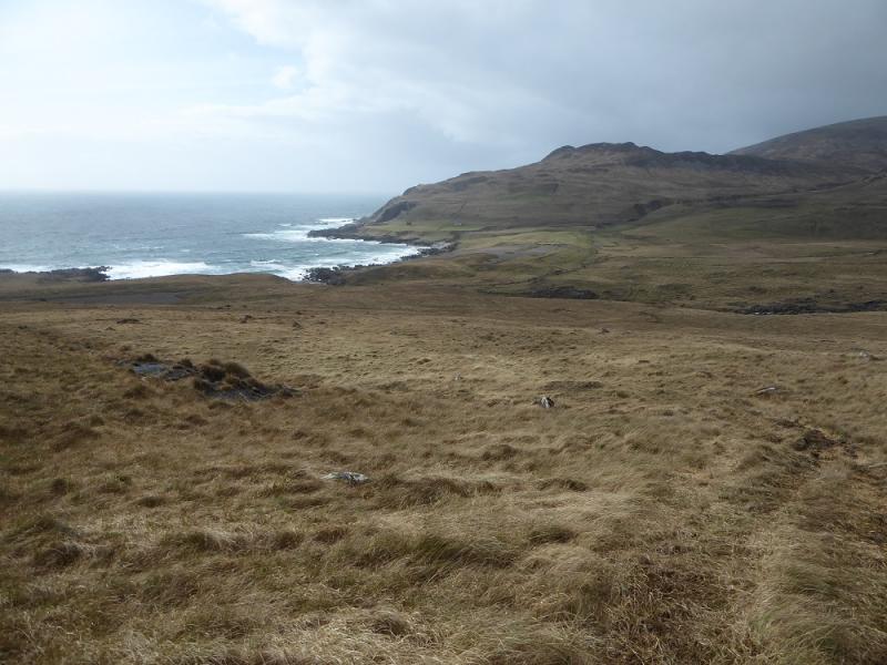
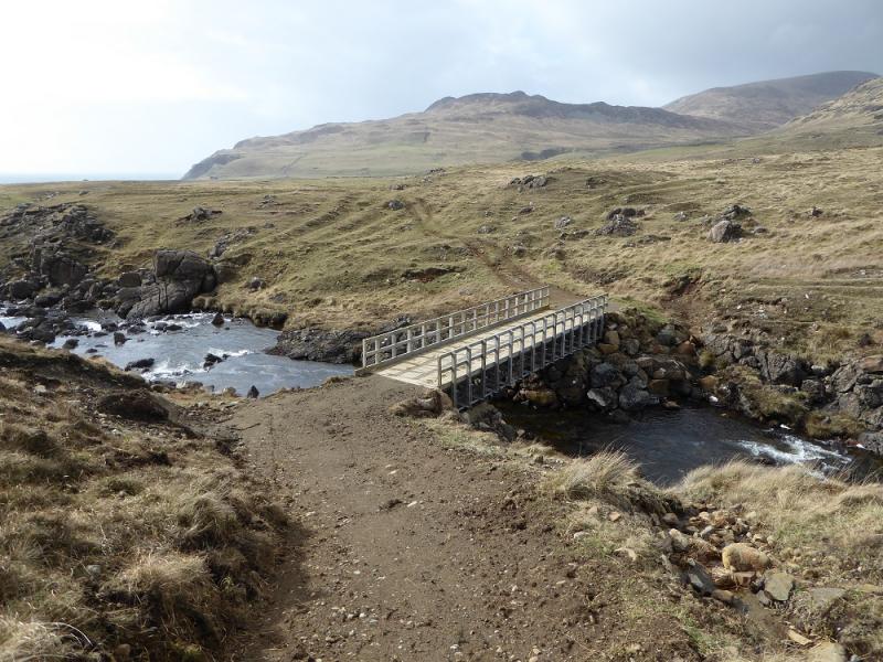
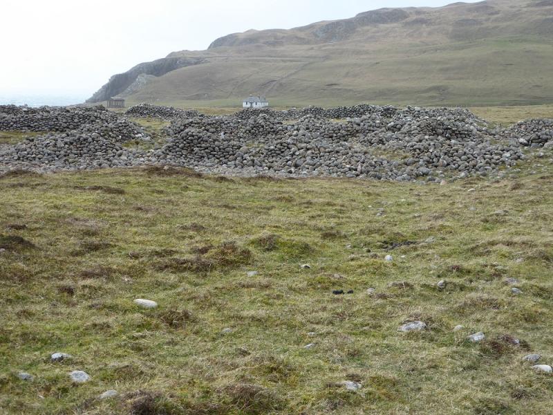
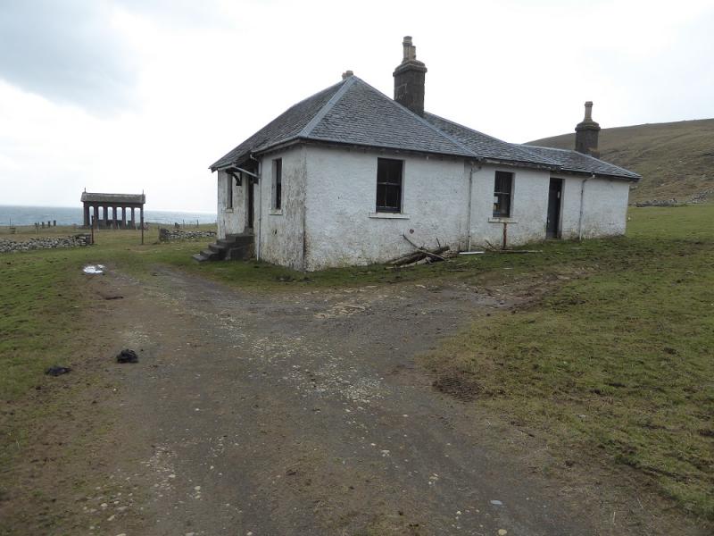
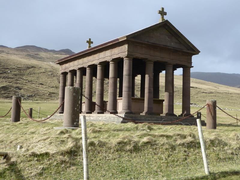
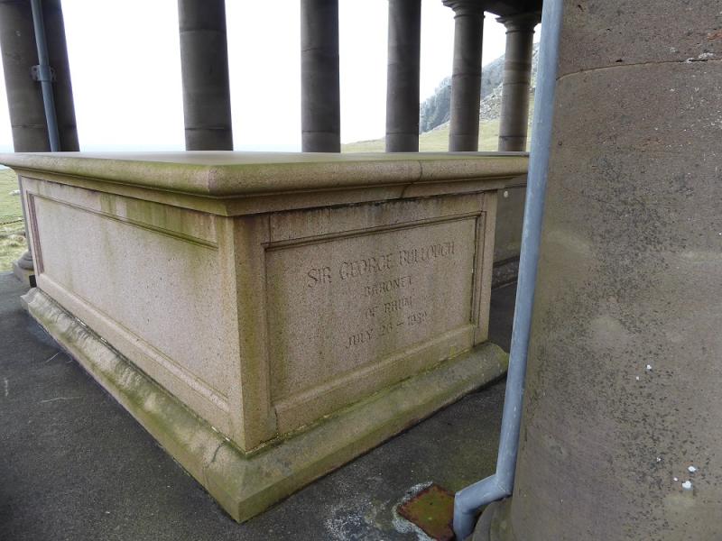
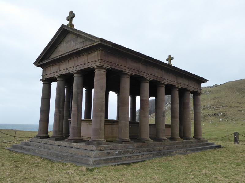
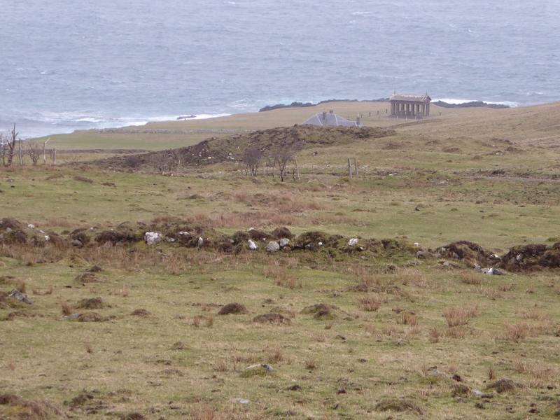
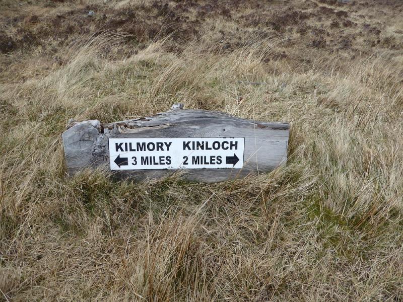
(4) Retrace to Point 759 then take the ridge running W towards Ruinsval. At about the first dip, look to drop into the corrie to the right, N. This is steep in places but there is no scrambling and one can stay on grass. Aim to cross the main stream flowing to Loch Fiachanis then continue, passing a rounded pinnacle then, further on, a group of three such pinnacles. Continue WNW and reach an ATV track which can be followed to the new bridge over the river at the foot of Glen Harris, almost at the sea. Continue on the track, past an abandoned cottage to reach the main track from Kinloch to Harris. Turn left and follow it to the white cottage then the mausoleum just beyond.
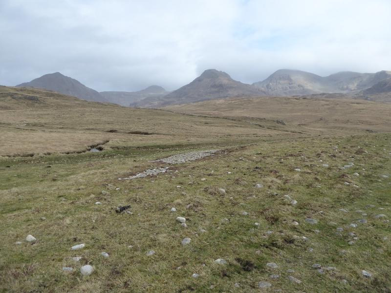
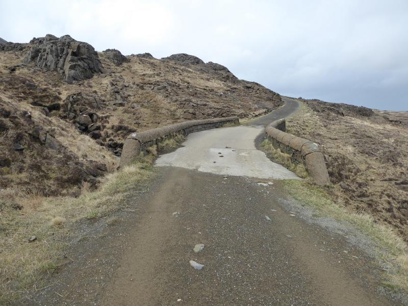
(5) Follow the same track, for 13 km, all the way back to Kinloch with its highest point being about 200 m after about 4 km.
Notes
(a) This walk took place on 4th April, 2017. Rum was also visited about 15 years earlier when the ferry times meant that on the first day only Hallival, Askival and Trallval were climbed. On the second day, Ainshval and Sgurr nan Gillean were climbed with a descent to Harris then a long walk back along the Harris track
Photos - Hover over photo for caption. Click on to enlarge. Click on again to reduce.