Get Lost Mountaineering
You are here: Scotland » 04 Loch Leven and Loch Linnhe to Loch Ericht » Loch Trieg to Loch Ericht & Dalwhinnie
Binnein Shuas & Binnein Shios
Binnein Shuas & Binnein Shios from Torgulbin
Start/Finish
Parking space on A86 Spean Bridge to Newtonmore road by Torgulbin at Sw end of Loch Laggan, NN 432 831. There is space for at least 10 cars.
Distance/Time
24 km About 8 hours
Peaks
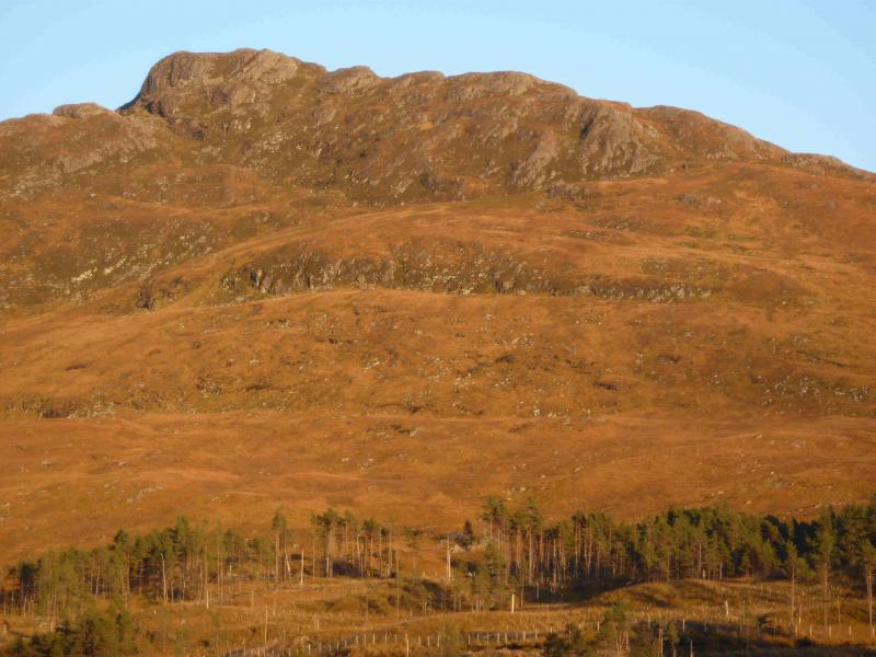
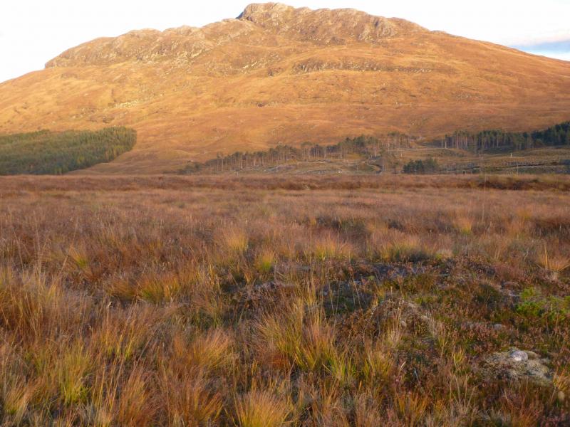
Binnein Shuas, 747 m, NN 463 826.
Binnein Shios, 667 m, NN 492 857.. OS sheet 34 or 42.
Introduction
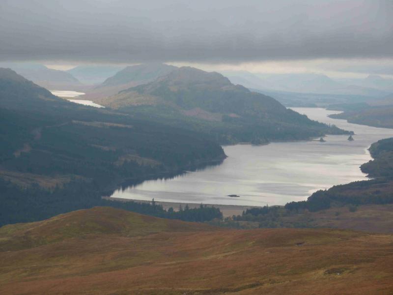
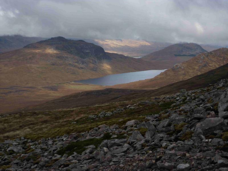
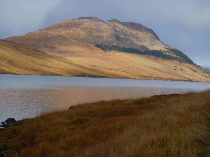
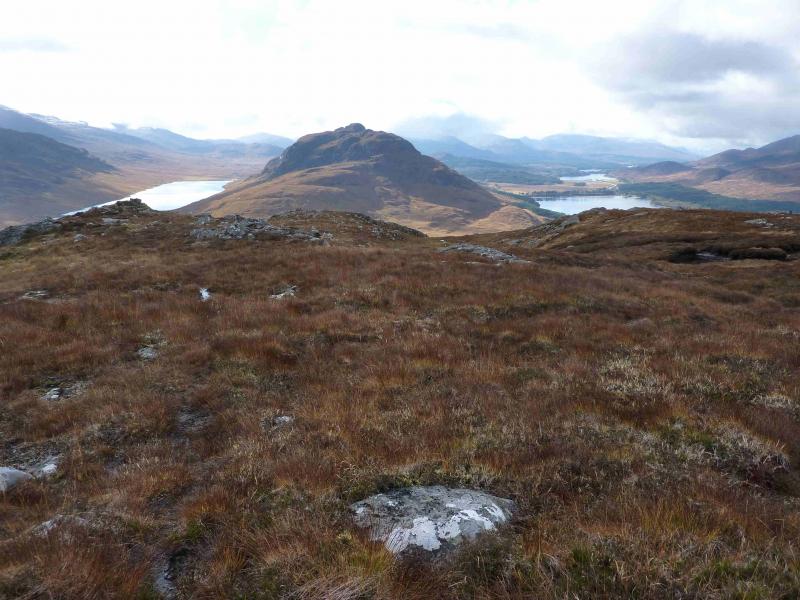
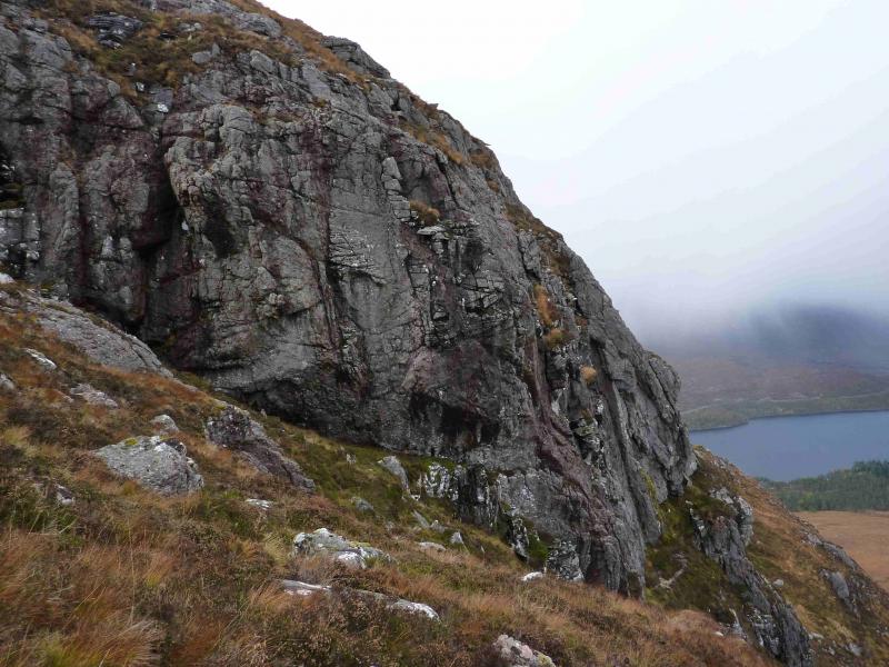
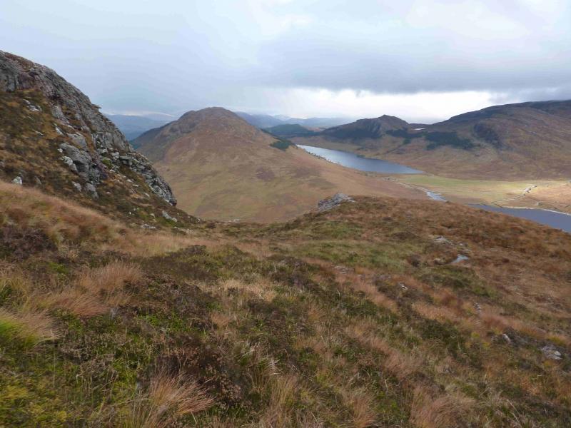
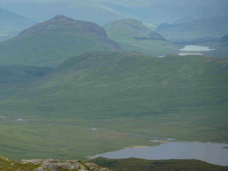
These two Grahams give excellent views in all directions, especially to Creag Meagaidh, Geal Charn & Creag Pitridh. However, despite their relative modest height compared to surrounding mountains, this is quite a strenuous day. Binnein Shuas is a popular mountain with rock climbers and hosts the famous Ardverike Wall. This route takes in the scenic Lochan na h-Earba which is hidden from the road behind Binnein Shuas and Binnein Shios.
Route
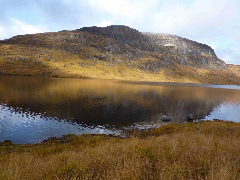
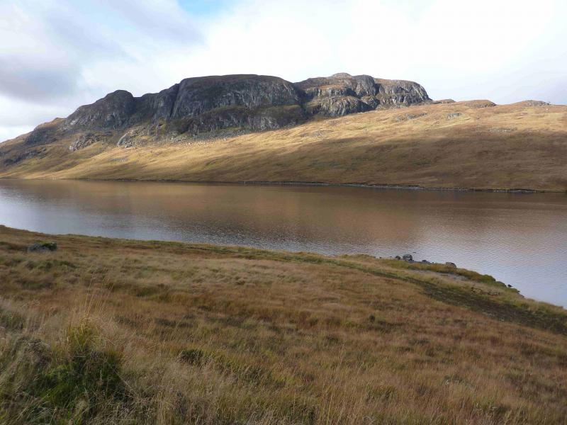
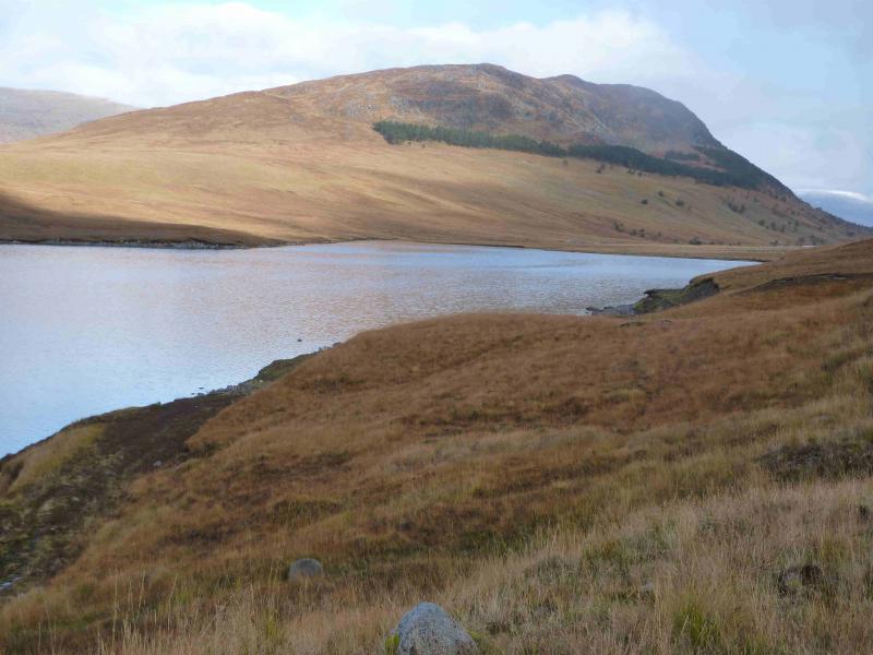
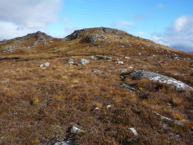
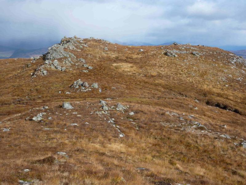
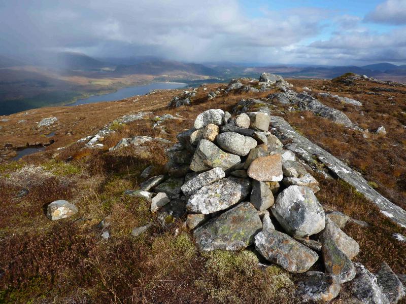
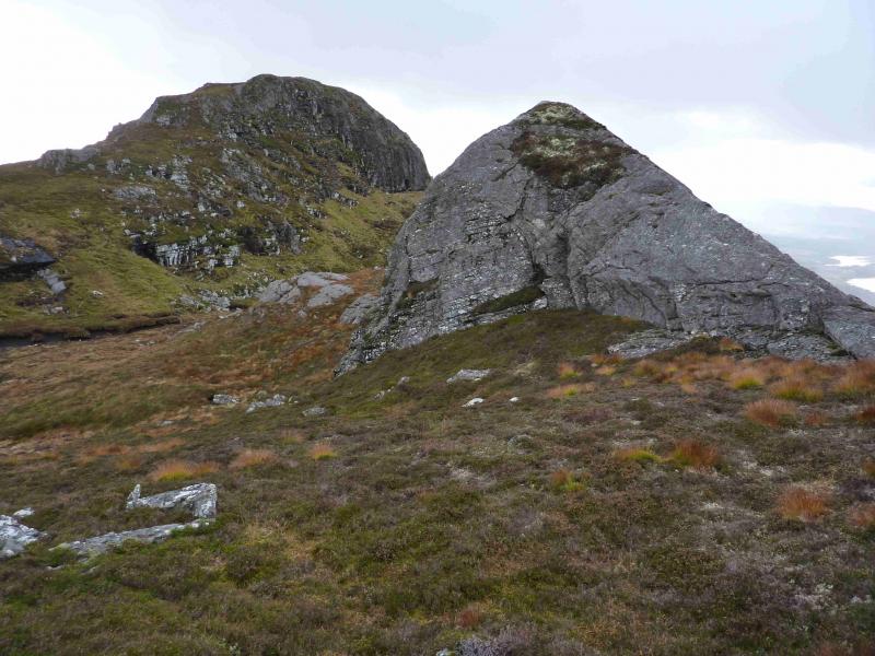
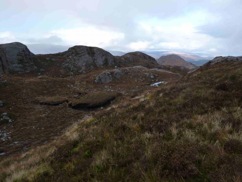
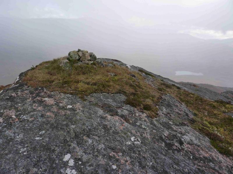
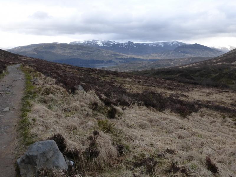
(1) Cross the river by the obvious bridge. At the first junction go left and soon reach a high locked gate with a pedestrian/cyclist gate at the side. Continue up the track, passing the turning to Loch Laggan, passing the SW end of Binnein Shuas, to reach another junction just before a lochan. Go left here and continue to the head of Lochan na h-Earba. Follow the track along the NE side of the Lochan. There are actually two tracks: an old grassy one next to the loch and a modern, wider one set back slightly. When the land between the two halves of the lochan is reached, either follow a rougher track to a small dam on the connecting river. Crossing this looks easy but is not allowed but if you decide to cross then head up the opposite side towards the crest heading for Binnein Shios. The “legal” route is to stay on the good track which crosses the connecting river by a bridge near to where it enters the NE part of the lochan. Cross over and head uphill to gain the crest leading up to Binnein Shios. Higher up the crest has a path which leads, over numerous false summits to a small cairn which marks the summit of Binnein Shios, 667 m.
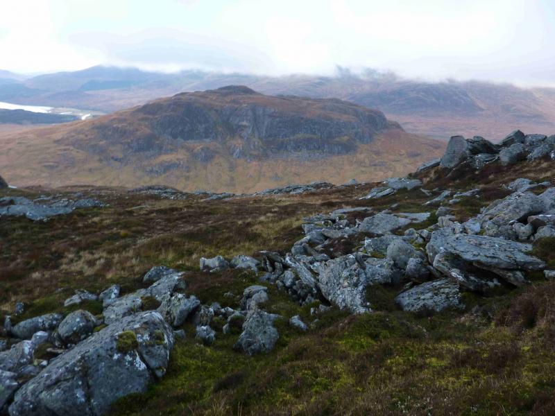
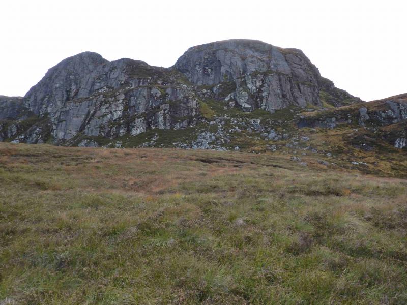
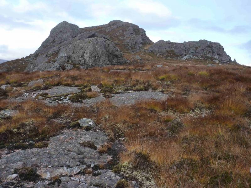
(2) Retrace down the crest to reach the SW bealach and ascend the other side up grassy slopes until steep cliffs seem to bar the way ahead. Go to the buttress on the right by a faint path which then ascends the grassy groove to the left of the buttress. When the angle eases, one can either stay in the wide grassy trench or walk along the rocky ridge on the right. This interesting rocky ridge undulates and gradually curves around towards the summit. Cross the grassy trench below the summit and ascend up easy slopes to the small cairn which marks the summit of Binnein Shuas, 747 m.
(3) A path descneds SW from the summit and can be followed down before it becomes difficult to follow so then head roughly SW aiming for the outward track just to the left of the trees at the foot of the ridge. Follow the track back to the start.
Notes
(a) This route was walked on 15th October, 2012. It was walked in reverse on 31st October, 2006, but using the Loch Laggan track instead of the Lochan na h-Earba one.
Photos - Hover over photo for caption. Click on to enlarge. Click on again to reduce.