Get Lost Mountaineering
You are here: Scotland » 10b Loch Eil to Glen Shiel » Knoydart & North of Loch Quoich
Beinn Bhuidhe from Inverie
Beinn Bhuidhe from Inverie
Start/Finish
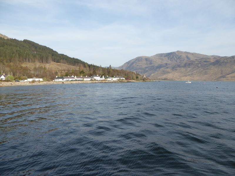
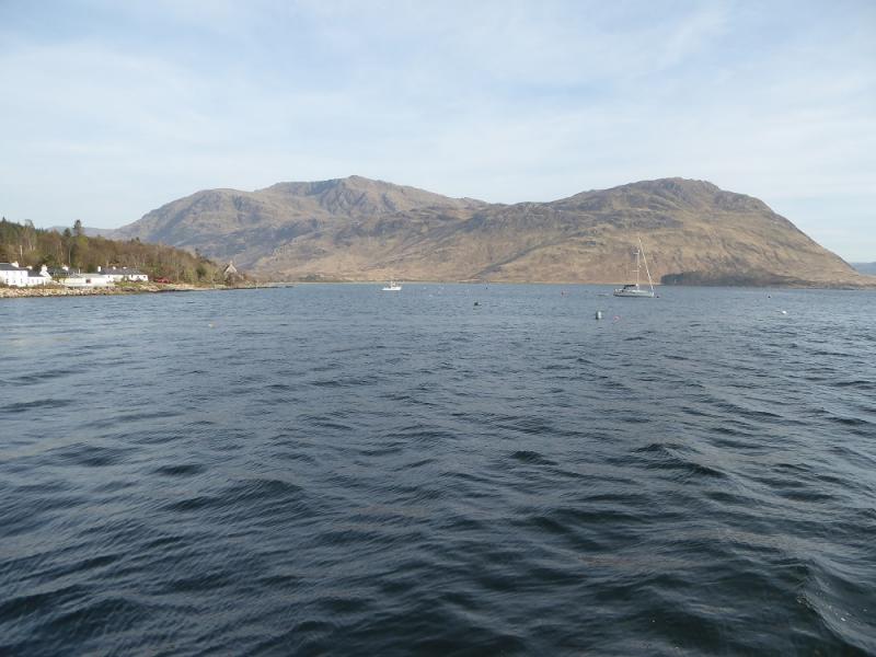
Mallaig or Inverie in Knoydart. Inverie is reached from Mallaig by ferry. In the summer, the service has been expanded and it is now possible to make day trips to Inverie with 8 or more hours between ferries. The current timetable can be found by searching for Knoydart Ferry on the internet. Ferry places are limited on some sailings so advance booking is essential. For those wishing to stay on Knoydart, there is plenty accommodation available easily located on the internet.
Distance/Time
16 km. About 8 - 9 hours walking.
Peaks
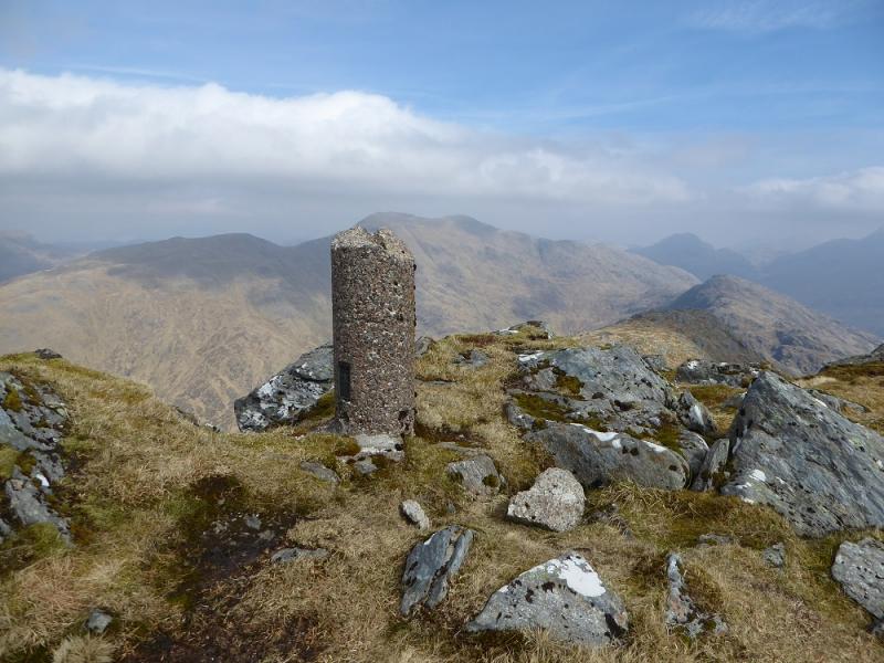
Beinn Bhuidhe, 855 m, NM 821 967. OS sheet 33: Loch Alsh & Glen Shiel
Introduction
This is a tough walk over some rough and boggy terrain which can seem worse because of its remoteness as it sits in Knoydart – the only part of the UK mainland with island status as there is no road in. This route fits around a 9 hour window between the first and last ferry from Mallaig. It includes about a kilometre of walking along the crest.
Route
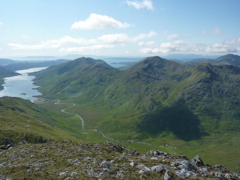
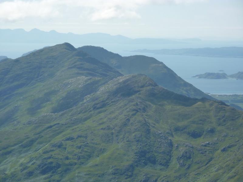
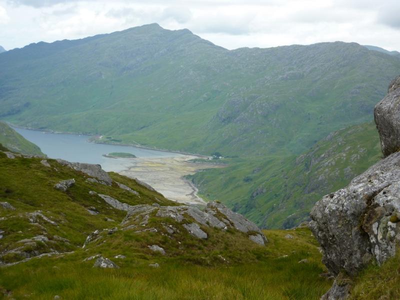
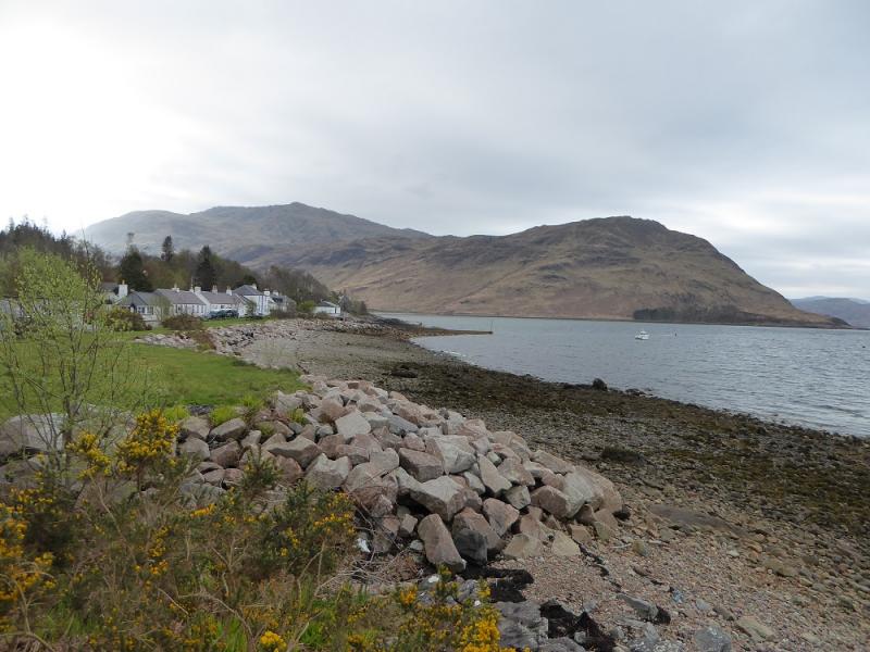
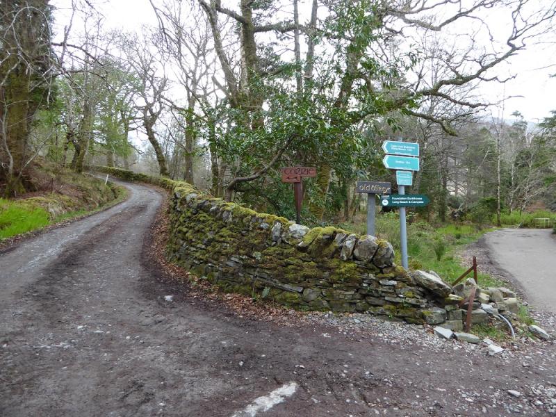
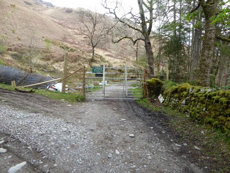
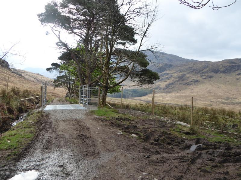
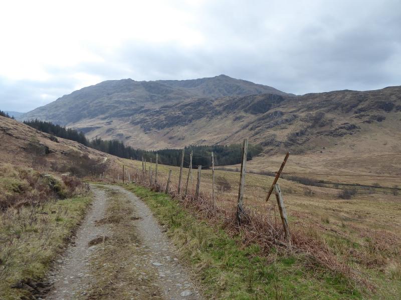
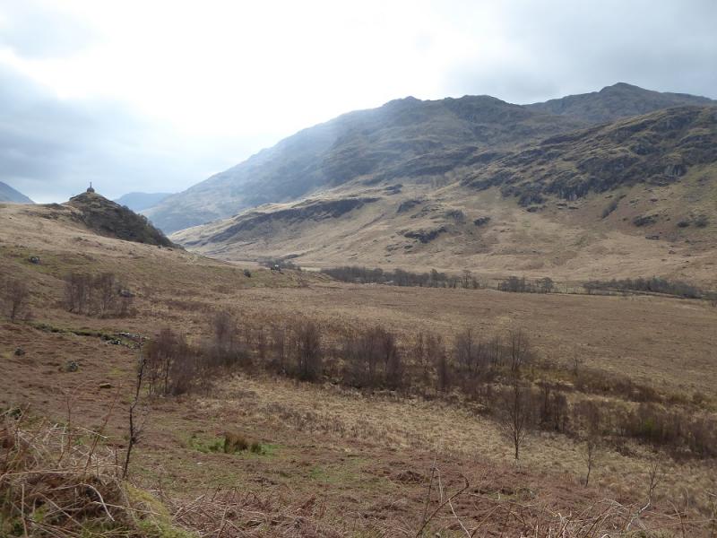
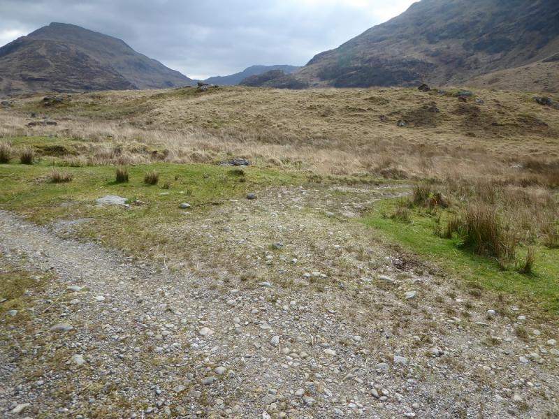
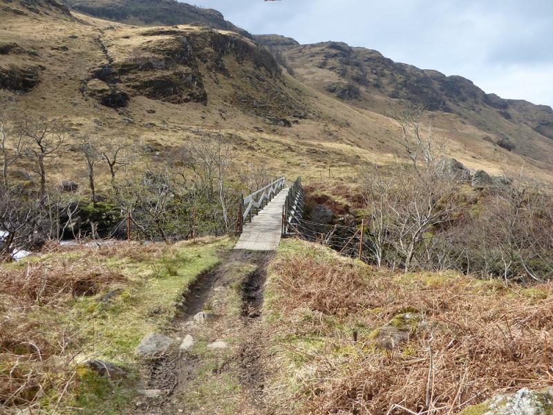
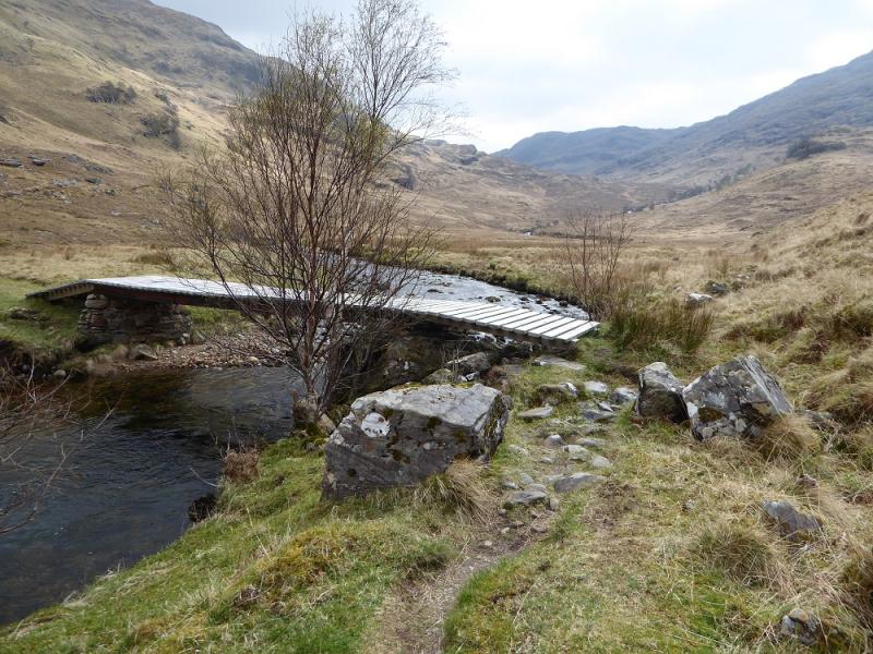
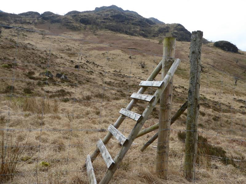
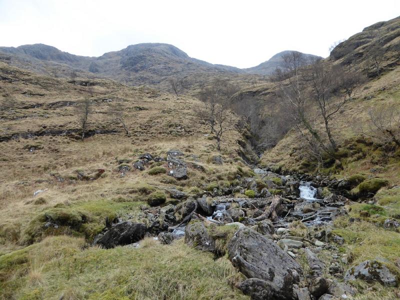
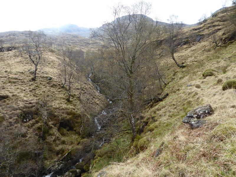
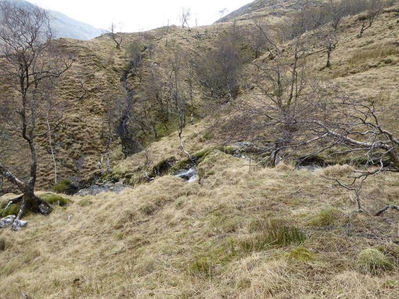
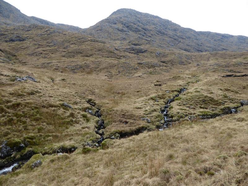
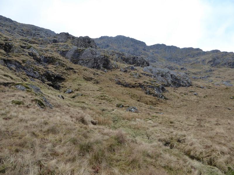
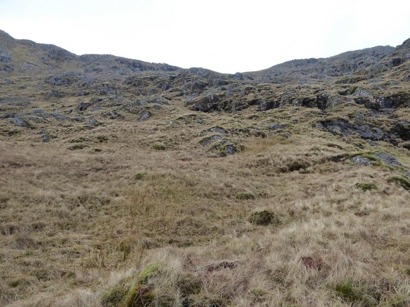
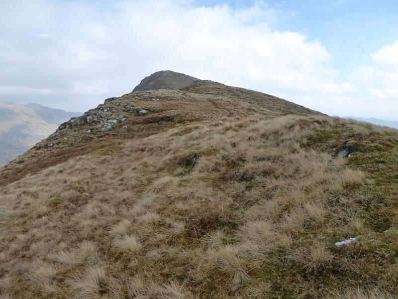
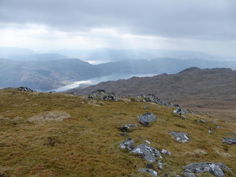
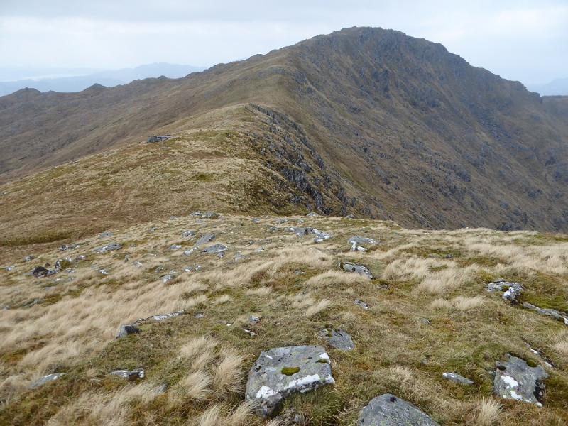
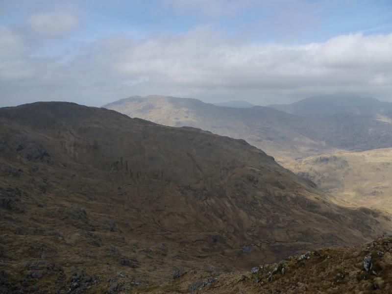
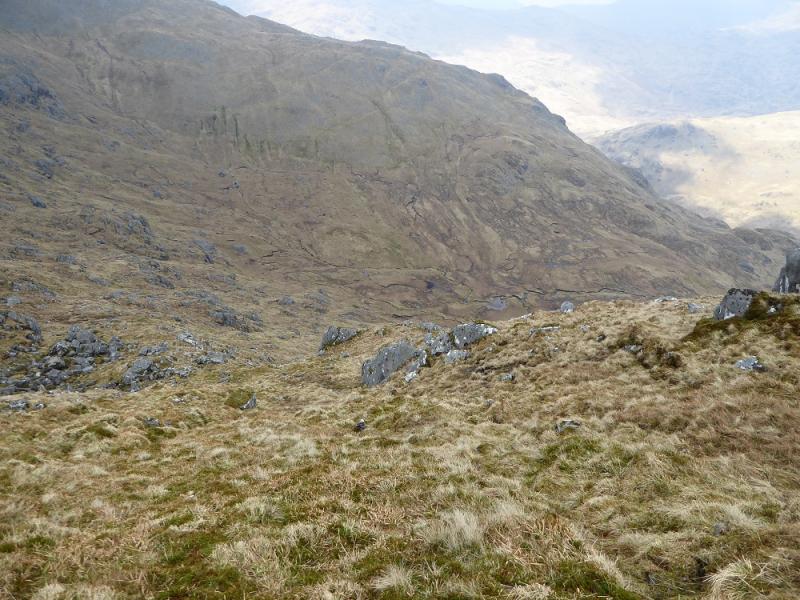
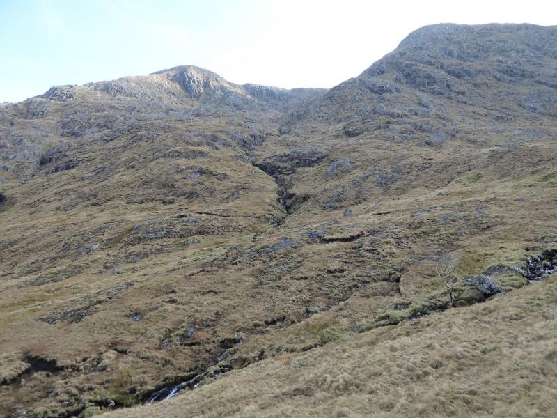
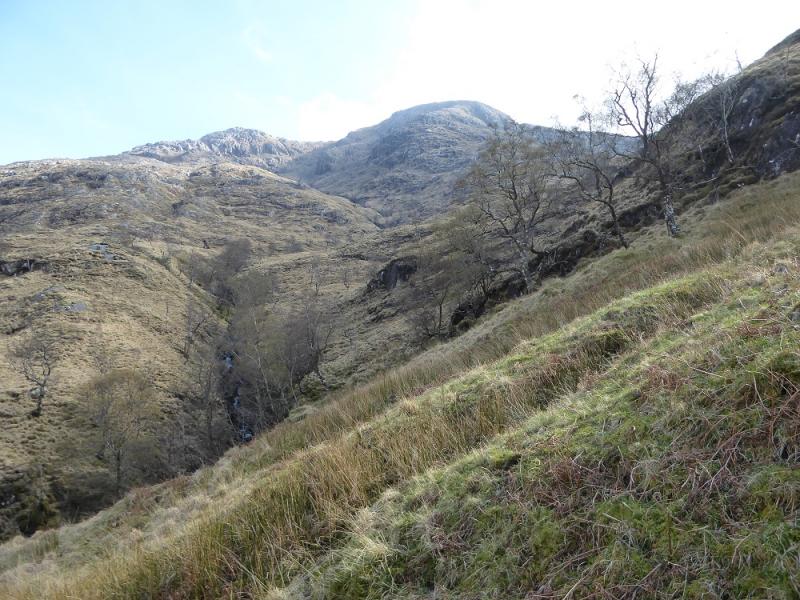
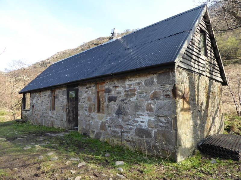
(1) Walk SE, along the tarmac road, past the pub and continue to the end of the tarmac where a track takes over. Reach a signpost, for Strathan, where the track goes left and uphill. At a hairpin bend, the track continues ahead through a gate. Continue and pass below a small hill with the Brocket Memorial cross on top. Not much further, the track splits. Take the right option and follow it to the bridge across the Inverie River. Continue and pass the Druim Bothy which is kept locked but is in good condition inside. It is possible to hire it by arrangement with Kilchoan Estate. Continue to a bridge which crosses back over the Inverie River. Do not cross over but continue between the river on the left and the deer fence on the right. Further on, there is a stile over the fence where one is faced with Hobson's Choice (a play where one of the main characters has to choose between two equally repugnant alternatives). If the stile is crossed, the ground is better but the deer fence has to be climbed over later as there is no second stile. If the stile is not crossed then the ground can be very boggy. Whichever alternative is chosen, continue on very rough ground, to reach a stream junction where the main stream seems to go roughly W. Follow this into a large grassy corrie. From here, pick a route N up steep long grass easily avoiding all rock. Eventually reach the crest and follow it E for about 1 km, over a false top, to reach the circular trig point which is the summit of Beinn Bhuidhe, 855 m.
(2) Retrace the outward route.
Notes
(a) This walk took place on 8th April, 2017.
(b) Beinn Bhuidhe was previously climbed on a long day which included Luinne Bheinn and Meall Buidhe.
Photos - Hover over photo for caption. Click on to enlarge. Click on again to reduce.