Get Lost Mountaineering
You are here: Scotland » 07 Glen Shee, Cairn O'Mount and Glen Clova to Glen Esk » Glen Isla to Mount Keen & Mount Battock
Broad Cairn & Cairn Bannoch from Glen Doll
Broad Cairn & Cairn Bannoch from Glen Doll
Start/Finish
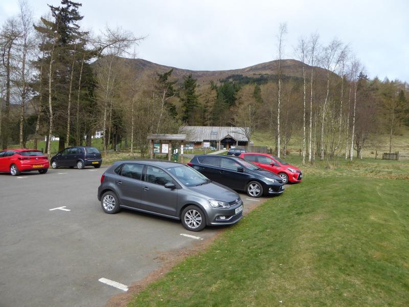
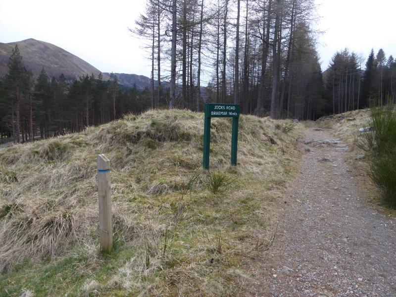
Glen Doll car park. Glen Doll is the continuation of Glen Clova which is accessed from Kirriemuir. In 2017, car parking was £2 per day. Toilets and a ranger centre are by the car park.
Distance/Time
25 km. About 9 hours.
Peaks
Broad Cairn, 998 m, NO 240 815.
Creag an Dubh-loch, 983 m, NO 233 822.
Craig of Gowal, 927 m, NO 232 809.
Cairn of Gowal, 991 m, NO 226 820.
Cairn Bannoch, 1012 m, NO 222 825.
Fafernie, 1000 m, NO 215 823.
Crow Craigies, 920 m, NO 221 798. OS sheet 44: Ballater.
Introduction
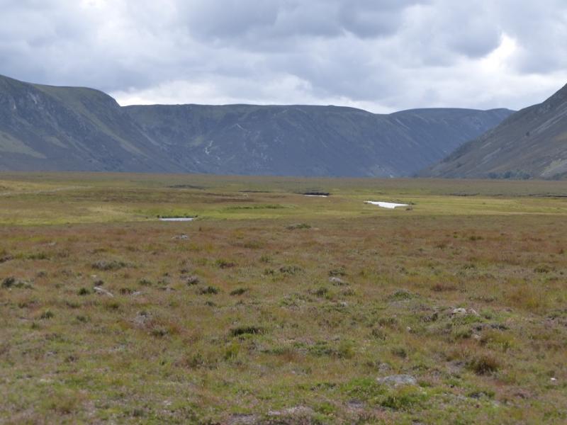
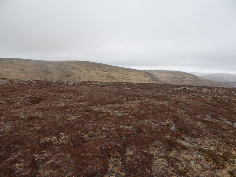
Most of these peaks are approached from Loch Muick but this is a pleasant alternative from the south. On a clear day, there are excellent views to Lochnagar. Strangely, the long glen north from Glen Doll does not appear to have a name!
Route
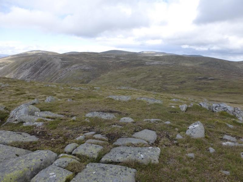
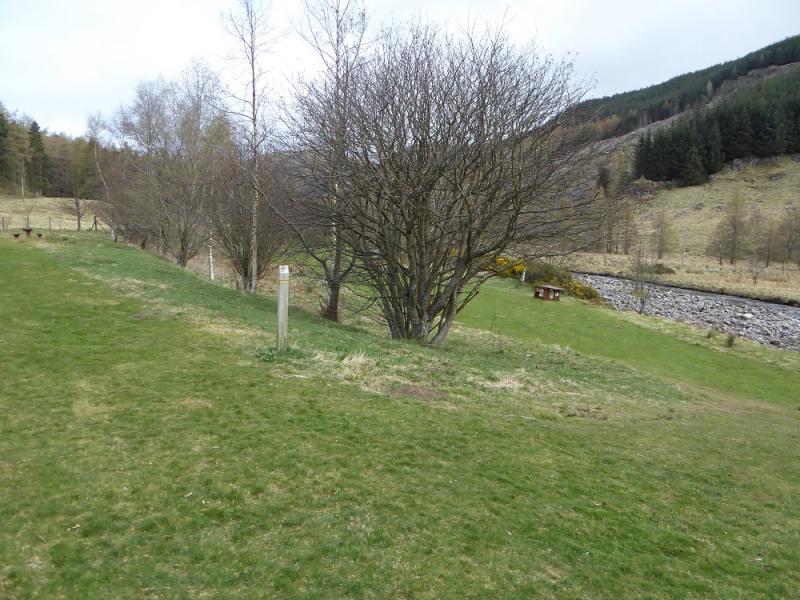
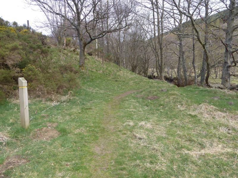
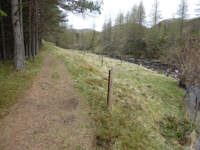
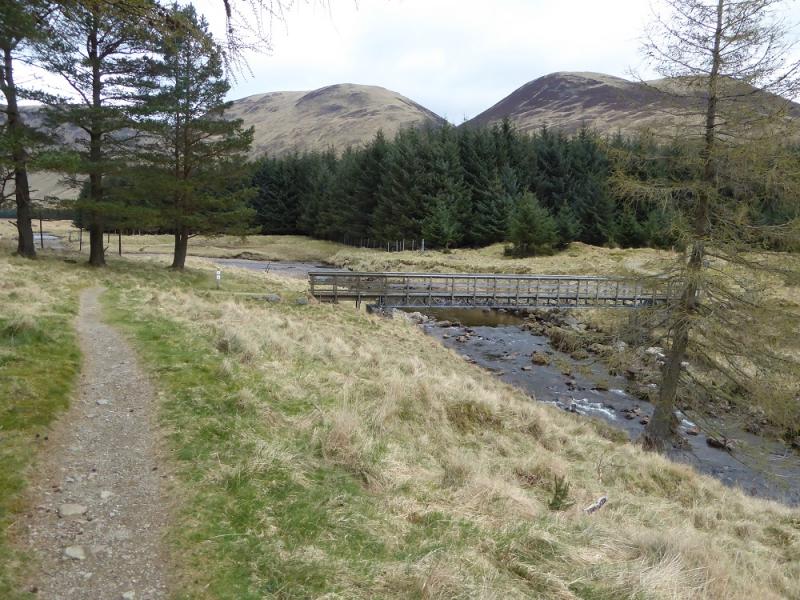
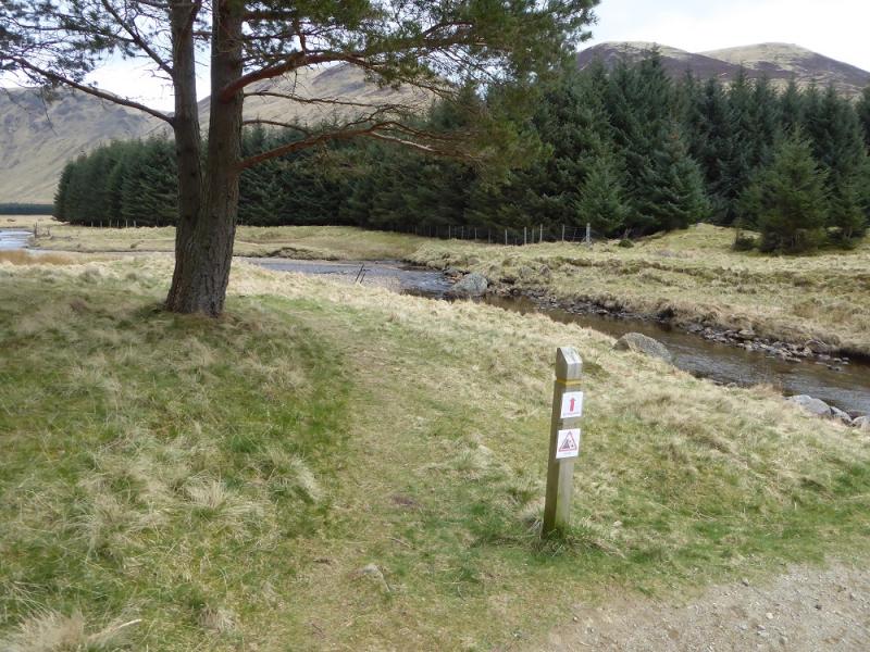
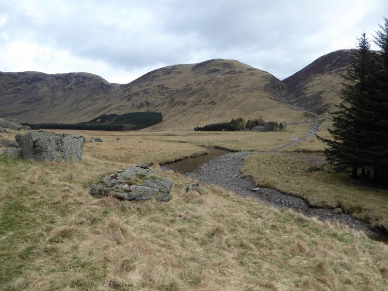
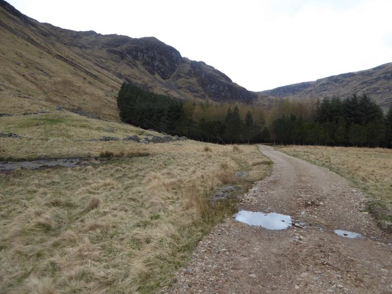
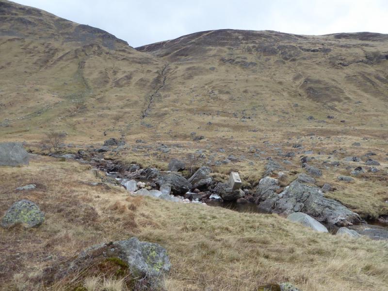
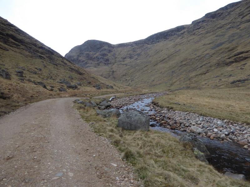
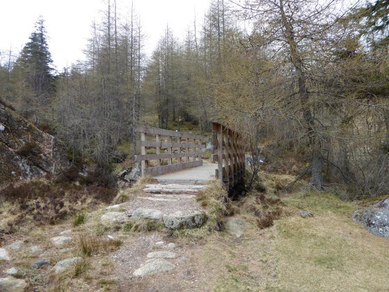
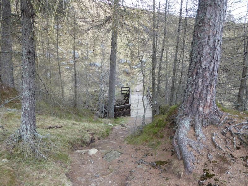
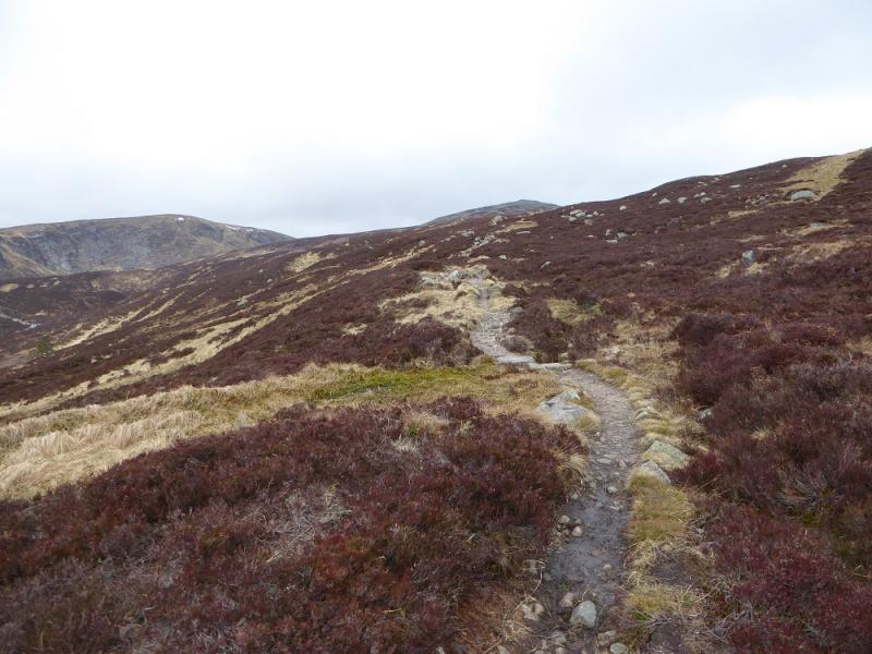
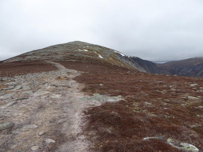
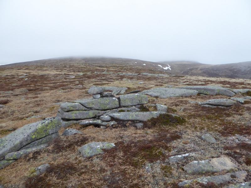
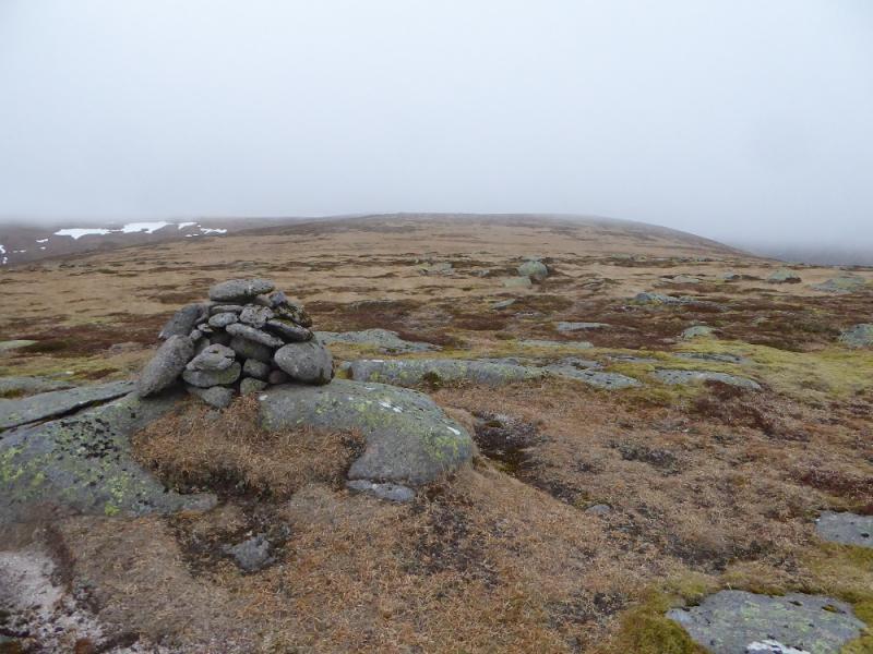
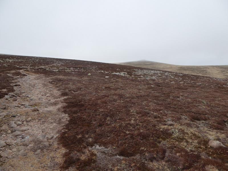
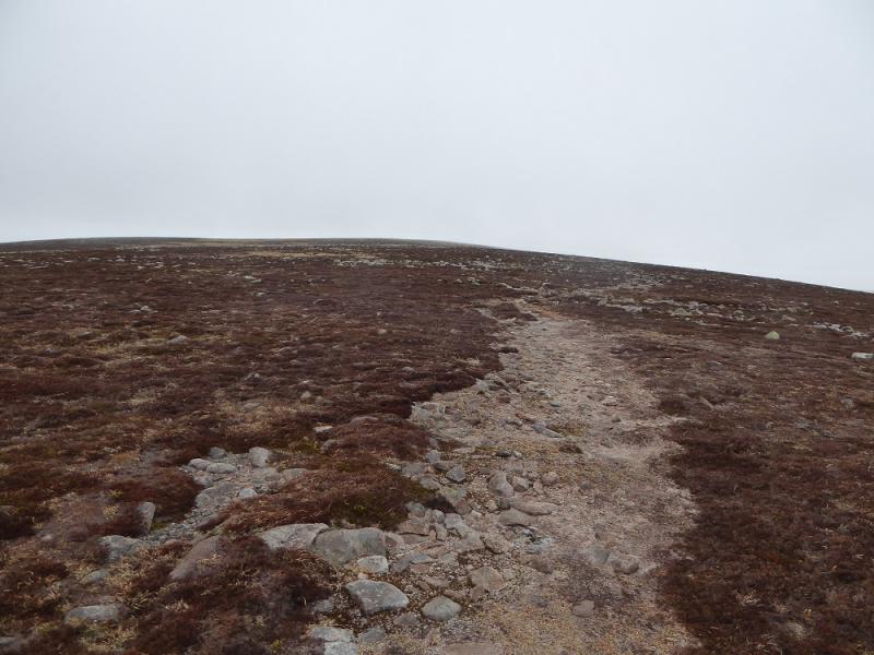
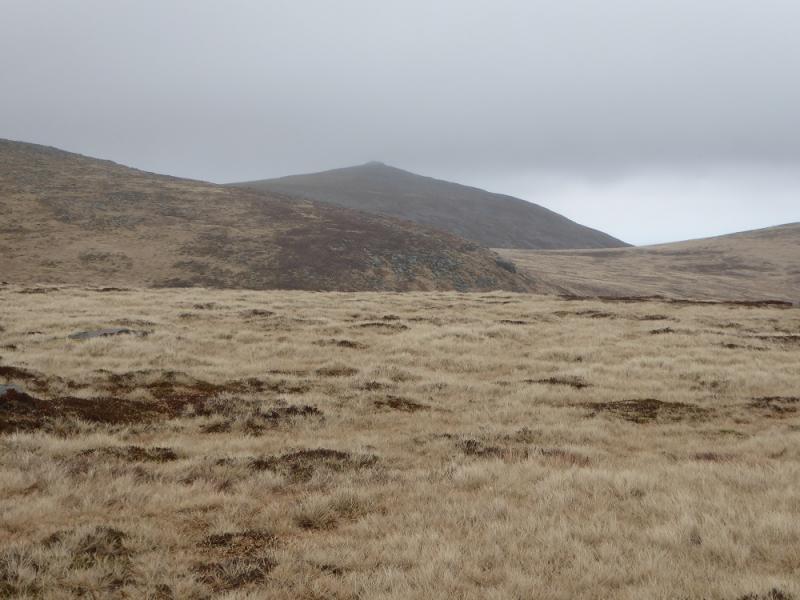
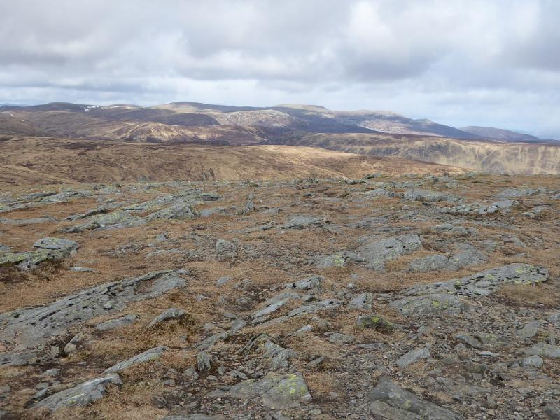
(1) From the car park follow the yellow way markers N with the river on your right. Leave the way markers when they go across a bridge and continue on the same side of the river on a rougher path which is a diversion (but does not increase distance walked). Further on, this path joins a track which continues for some distance to the wood at Bachnagairn where a bridge,, over a tributary, is crossed. A good path continues uphill but soon splits. Take the right hand option which almost immediately crosses the main river by a bridge. A good path now picks its way up the side of the glen, roughly heading N, to eventually meet the main path coming from Loch Muick. Follow this path, roughly WNW, up on to Broad Cairn crossing afew bouldery patches on the way. A small cairn sitting on an outcrop is the summit of Broad Cairn, 998 m.
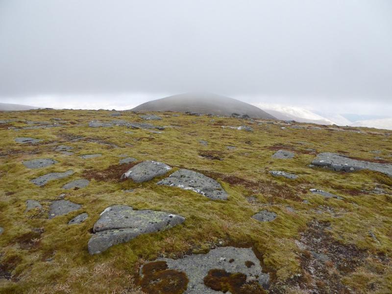
(2) Descend bouldery ground, losing little height, to a broad col then ascend N to reach a small cairn which is the summit of Creag an Dubh-loch, 983 m.
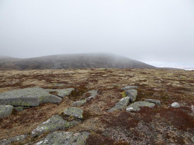
(3) Retrace S to a short flat section then go SSW traversing Cairn of Gowal to its col with Craig of Gowal before making a short ascent to the long flat top where a small cairn, on a rock, is the summit of Craig of Gowal, 927 m.
(4) Retrace to the col with Cairn of Gowal then ascend to a small cairn which is the summit of Cairn of Gowal, 991 m.
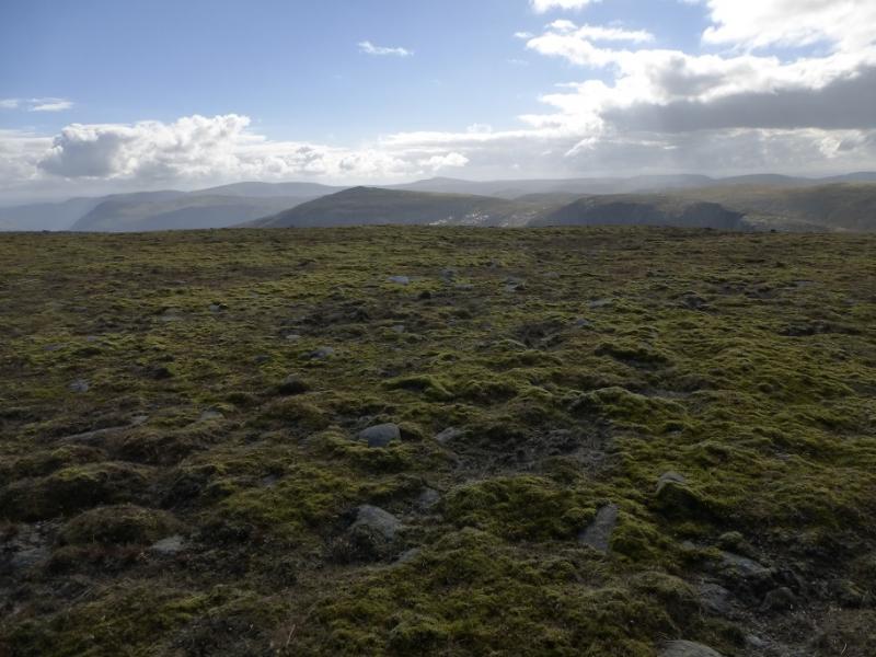
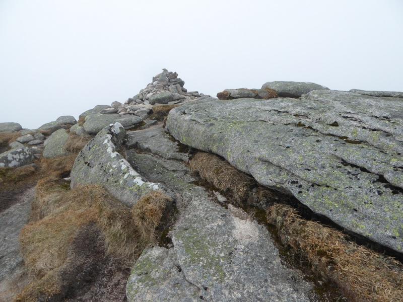
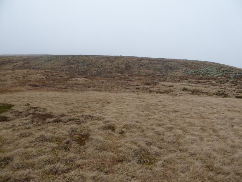
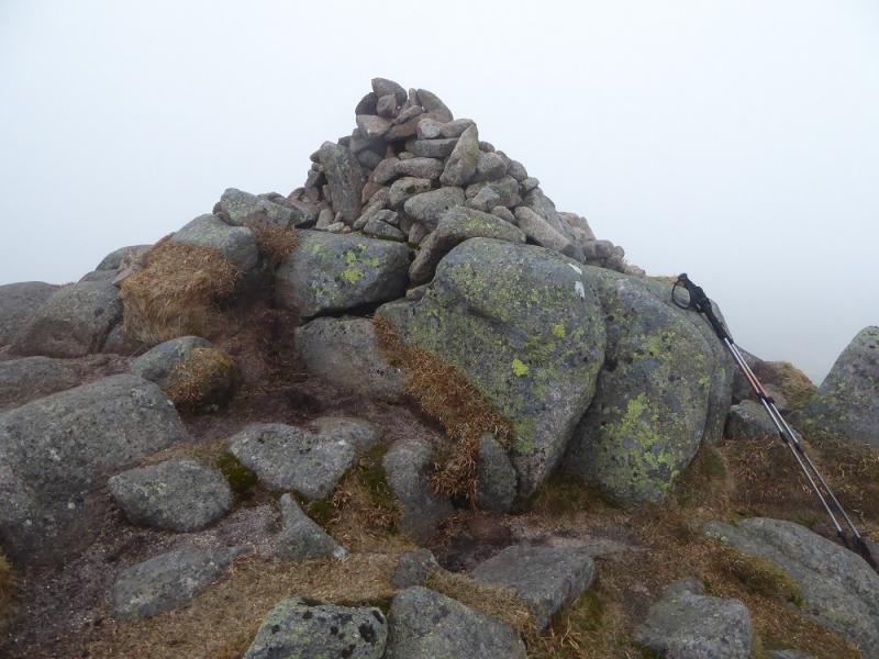
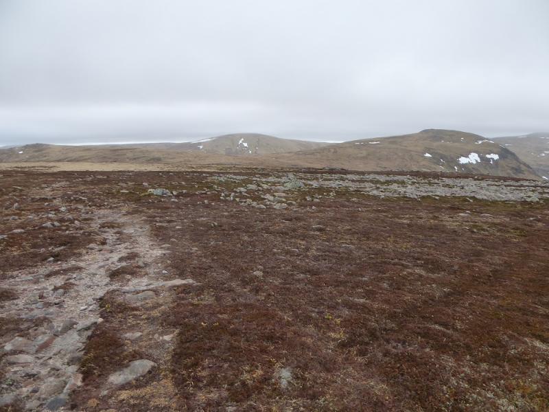
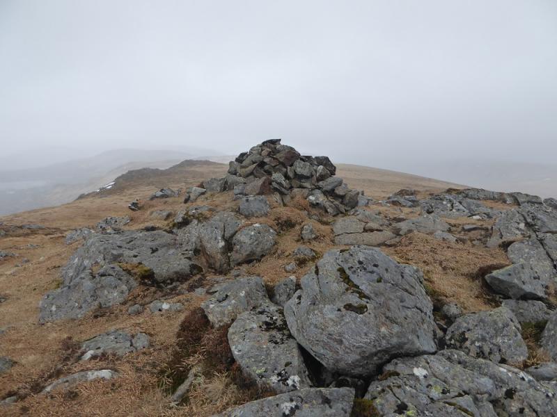
(5) Continue NNW, with very little loss of height, to reach a similar cairn then continue again, losing a little more height, before ascending about 50 m to the large cairn on a large outcrop which is the summit of Cairn Bannoch, 1012 m. A distinct path will be crossed before the summit.
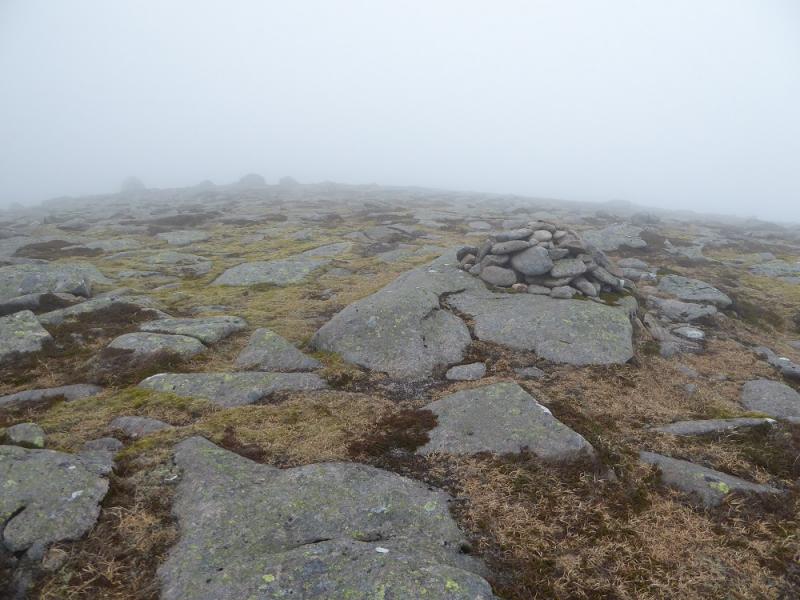
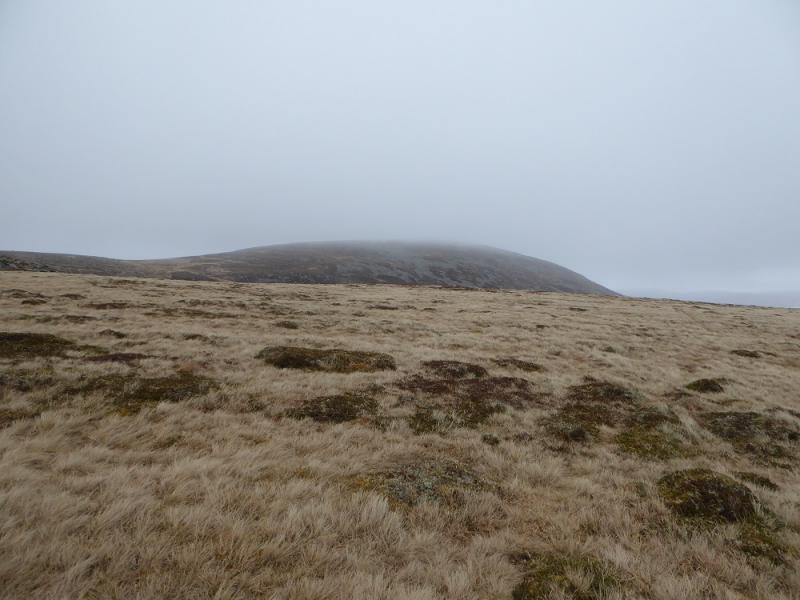
(6) Pick up the distinct path again and follow it WNW then WSW with little descent or ascent to reach the broad summit plateau of Fafernie where there are two large cairns followed by a small cairn – all at about the same height. Visit them all to be sure you have reached the summit of Fafernie, 1000 m.
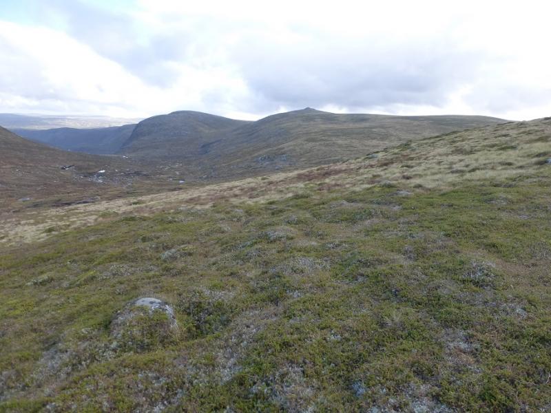
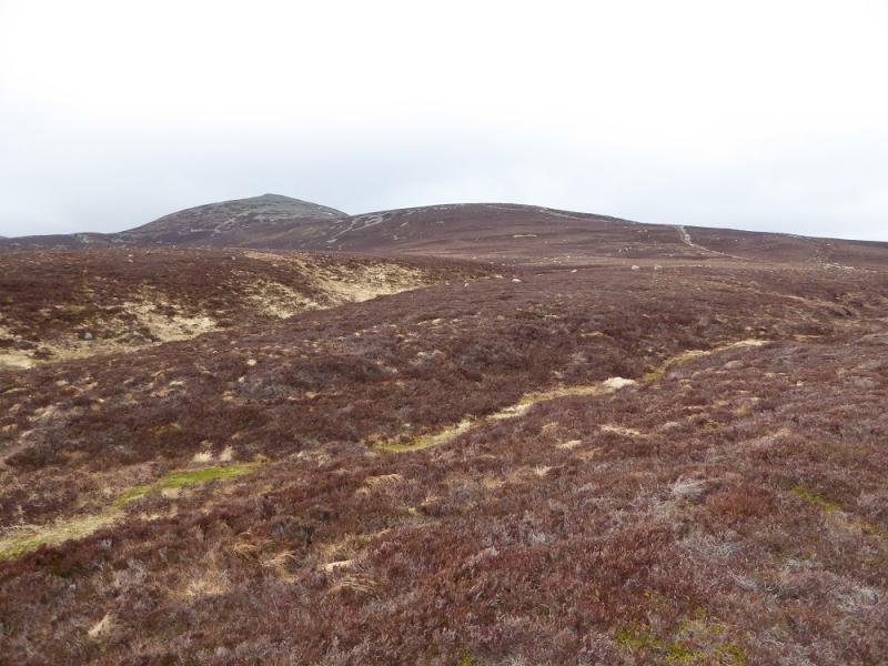
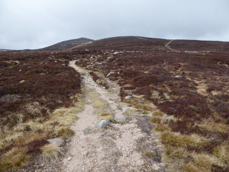
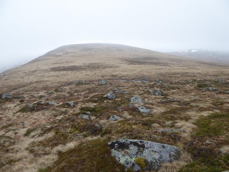
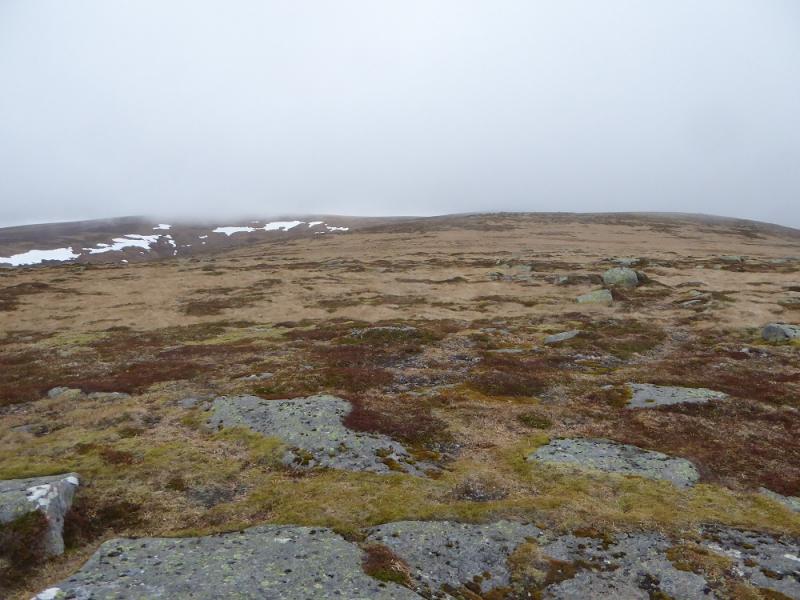
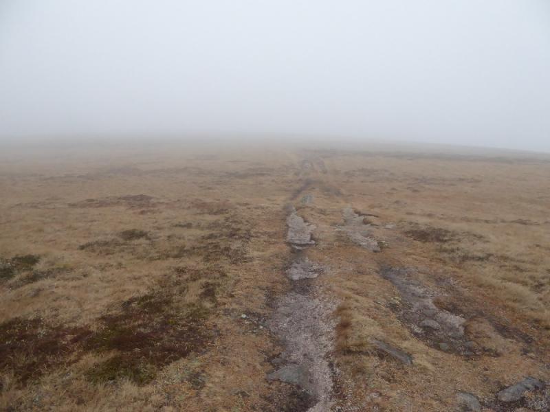
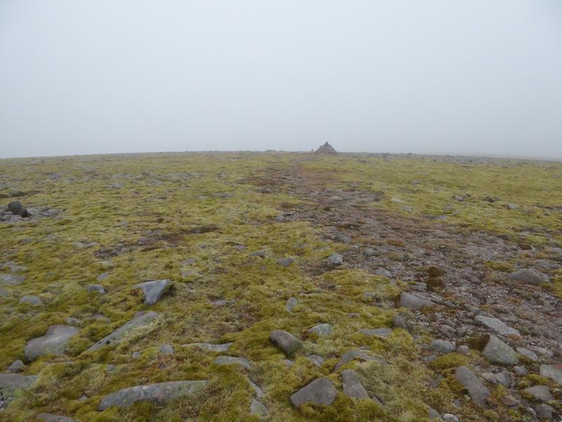
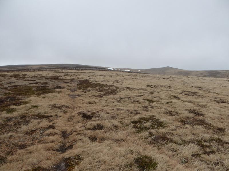
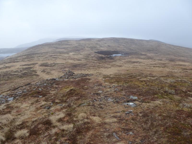
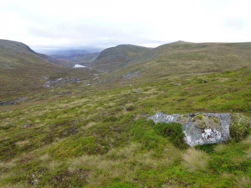
(7) Descend the long ridge going just E of S before turning just W of S after about 1.4 km. Soon after, a path comes in from the right which is Jock's Road and this leads all the way back to the start but it is still a long way to go. Follow the path, faint in places, SSE. It goes up and over Crow Craigies, 920 m whose summit is a medium cairn.
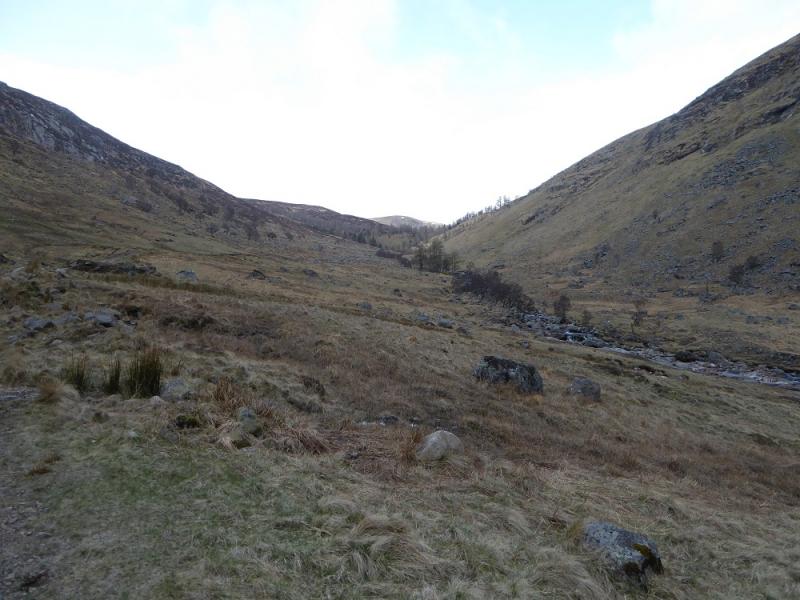
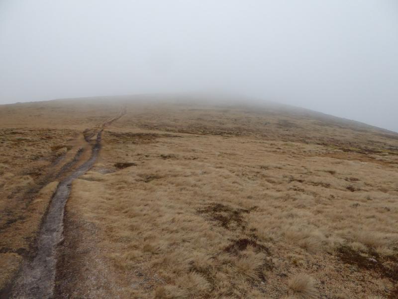
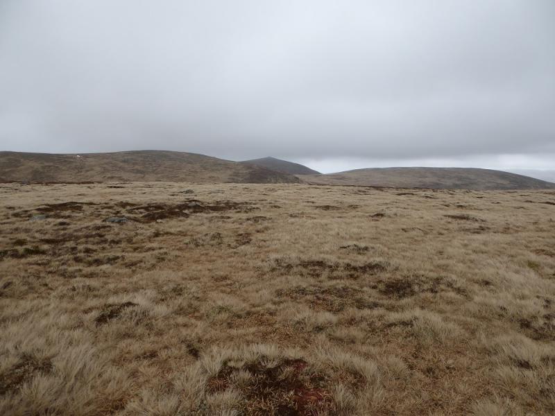
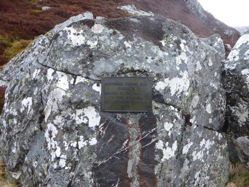
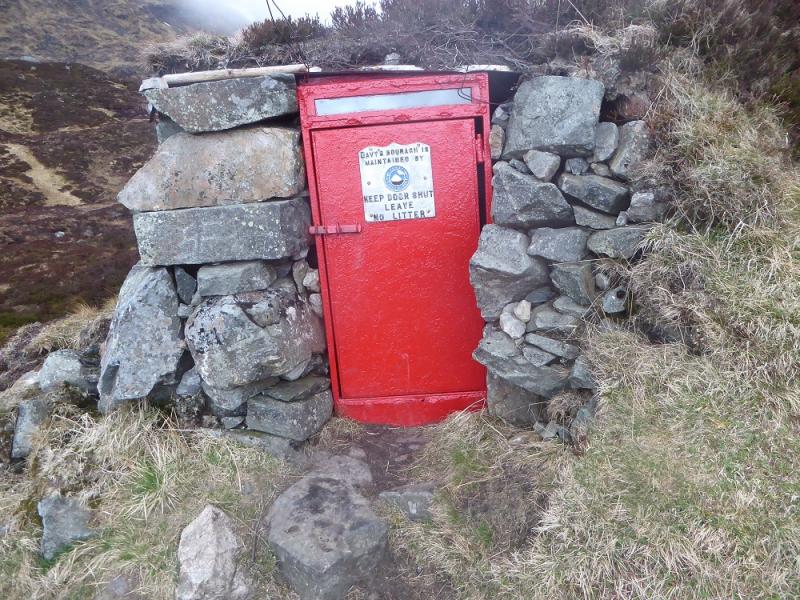
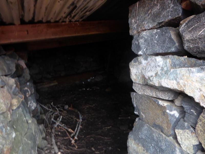
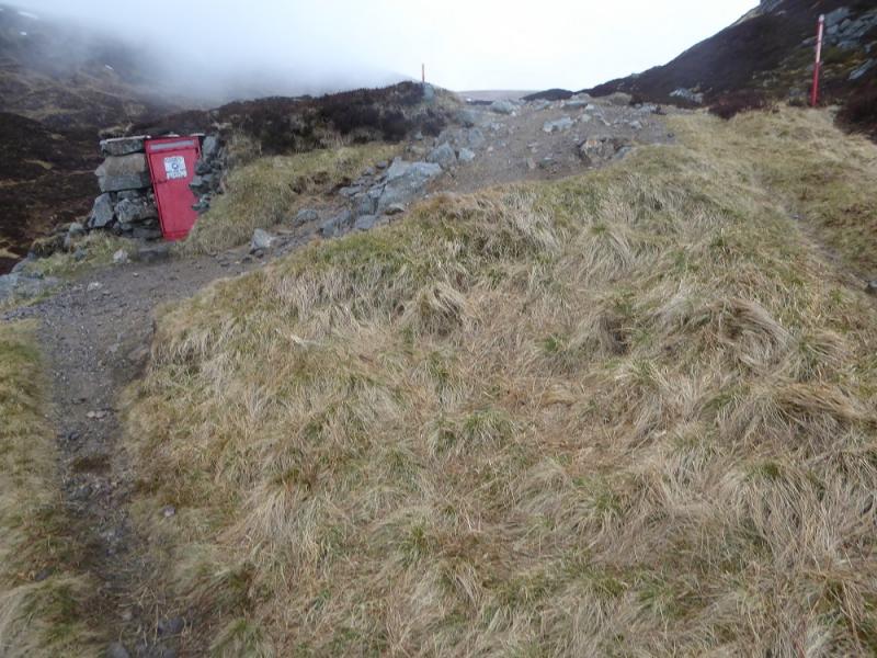
(8) Continue on a reasonably distinct path which roughly follows the same line above the developing steep glen on the right. Reach two red posts which is where the emergency shelter is just below on the right. It is quite large inside. Continue descending on the Jock's Road path which can be quite stony in places. After about another 2 km, the path enters a wood and 4 km later reaches Glen Doll.
Notes
(a) This walk took place on 11th April, 2017, and about 15 years earlier.
Photos - Hover over photo for caption. Click on to enlarge. Click on again to reduce.