Get Lost Mountaineering
You are here: Scotland » 07 Glen Shee, Cairn O'Mount and Glen Clova to Glen Esk » Glen Isla to Mount Keen & Mount Battock
Cat Law & Corwharn from Easter Lednaithe in Glen Prosen
Cat Law & Corwharn from Easter Lednaithe in Glen Prosen
Start/Finish
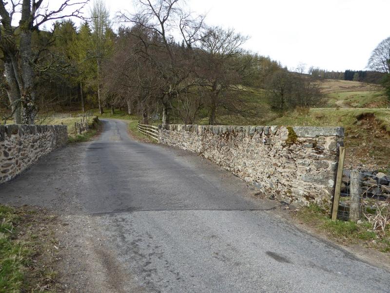
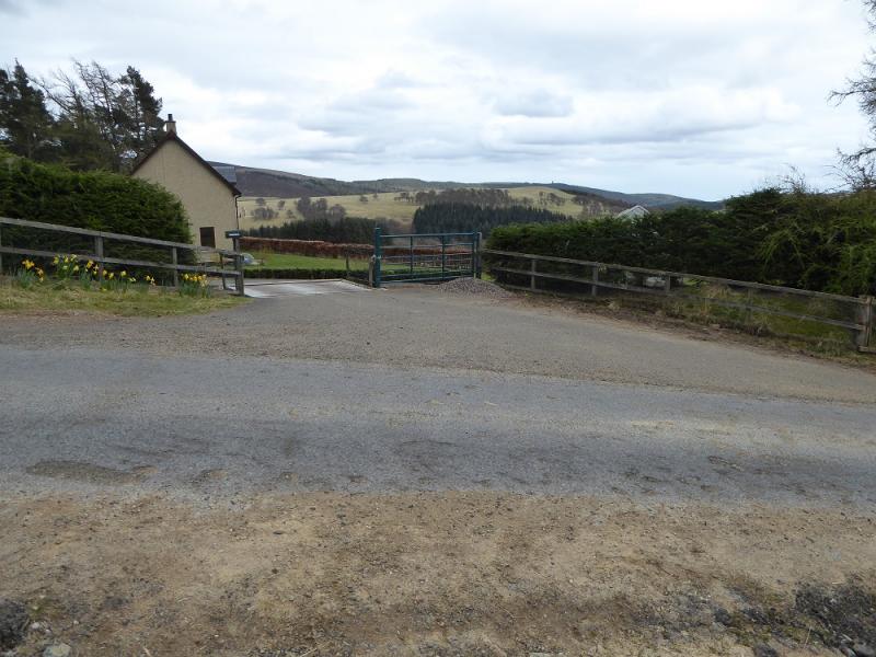
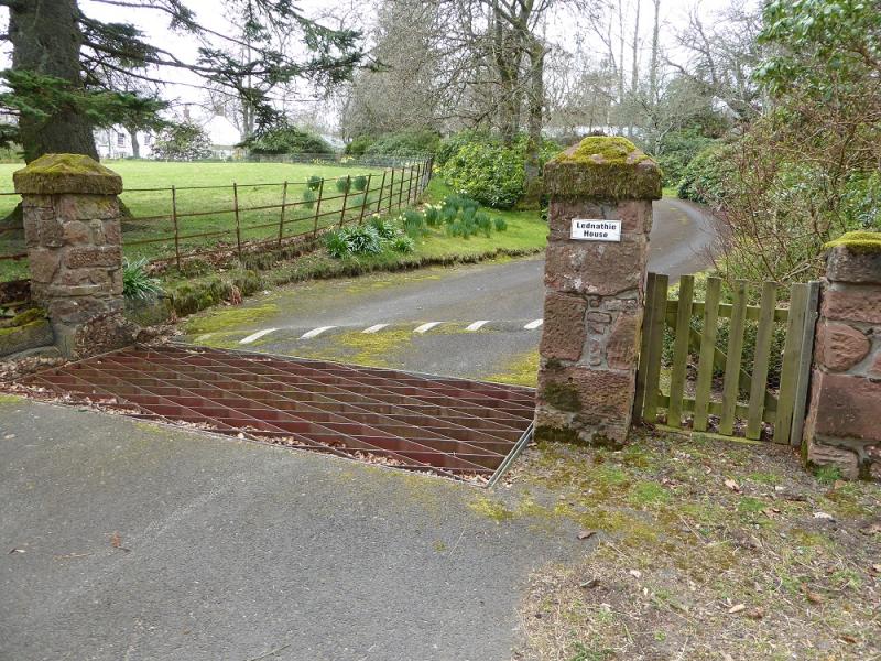
Verge parking near bridge at Easter Lednaithe in Glen Prosen which is reached from Kirriemuir. Opportunities to park are quite limited.
Distance/Time
18 km. About 6 – 7 hours
Peaks
Cat Law, 671 m, NO 319 611.
Corwharn, 609 m, NO 288 651. OS sheet 44: Ballater.
Introduction
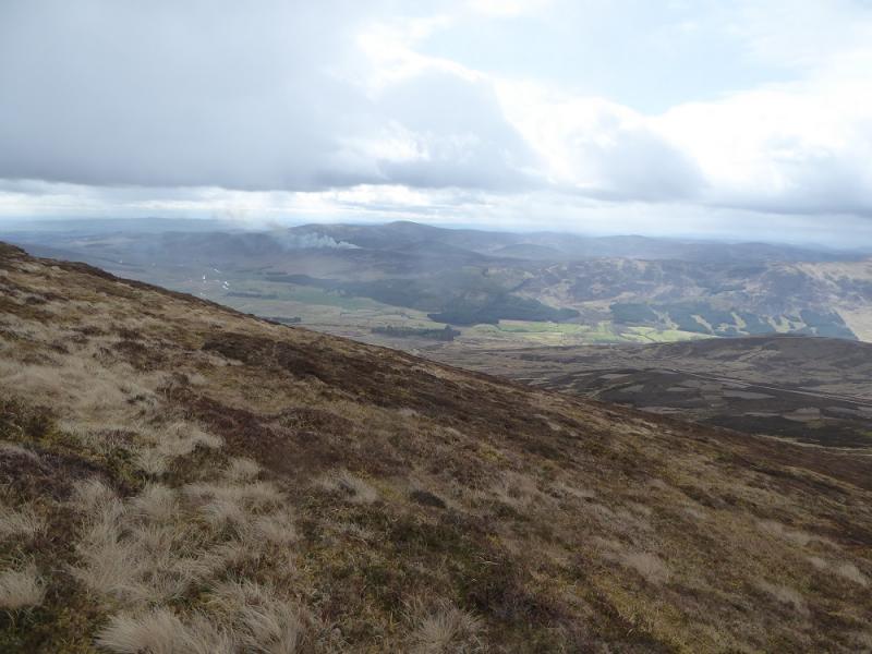
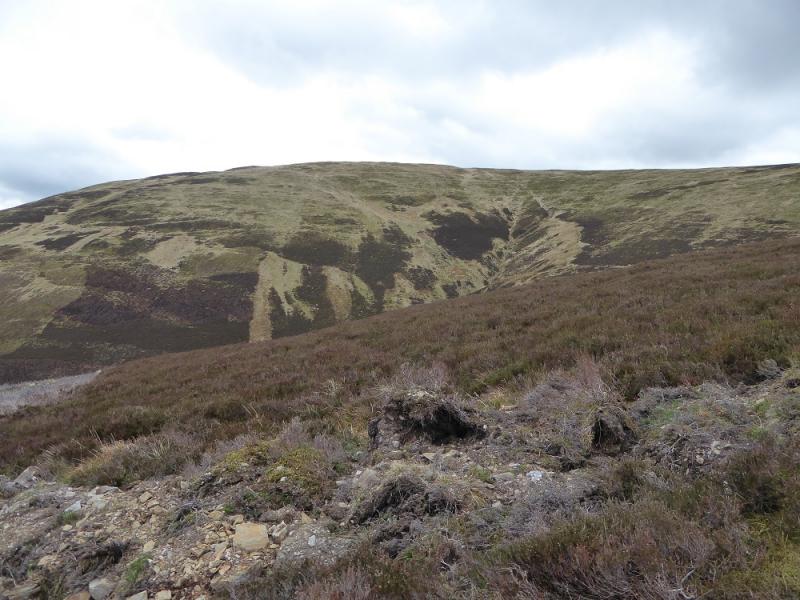
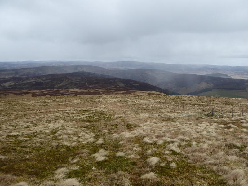
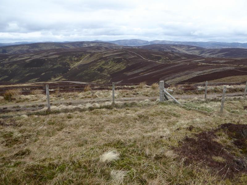
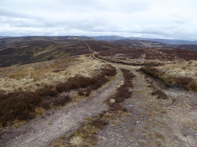
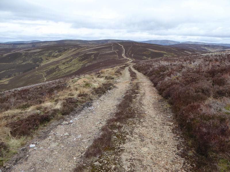
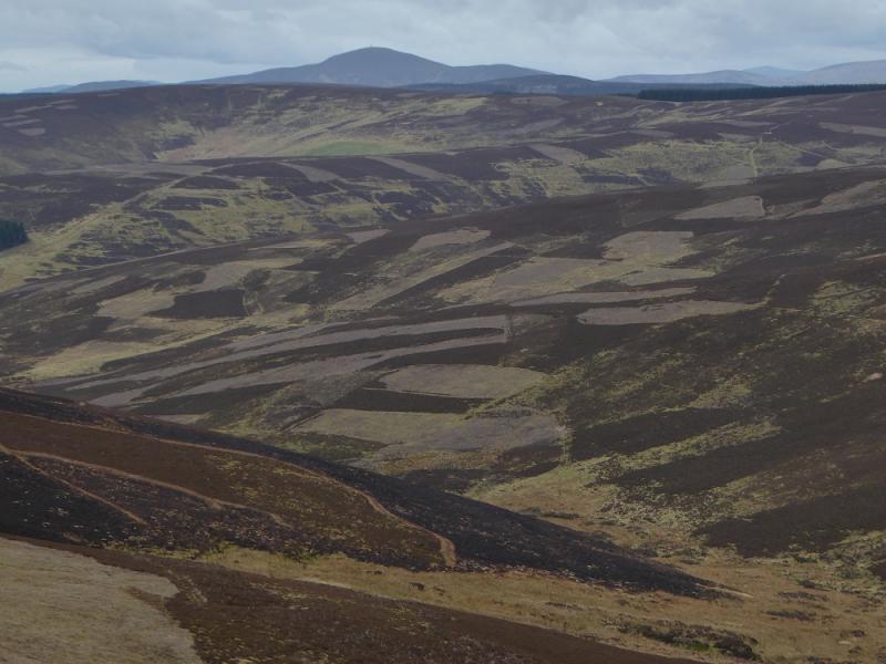
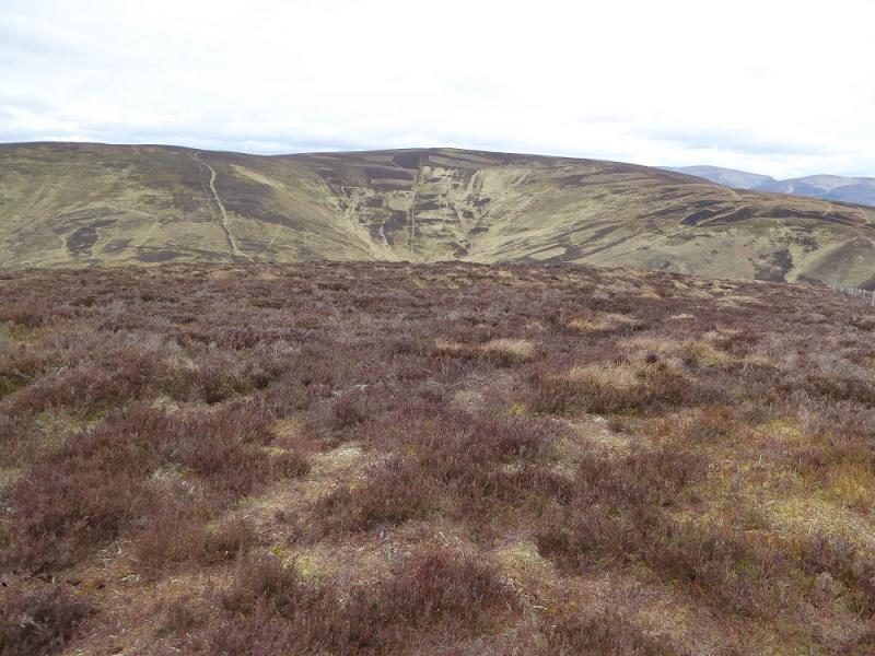
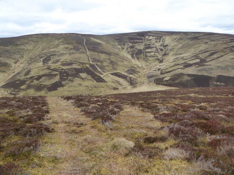
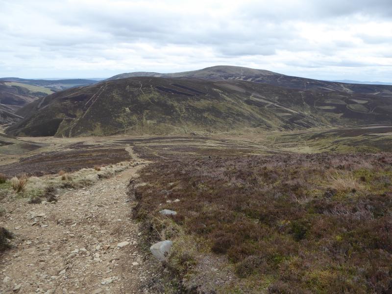
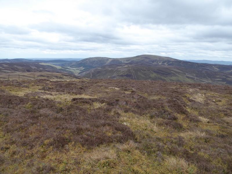
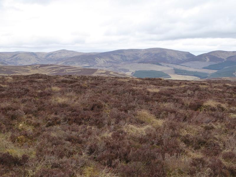
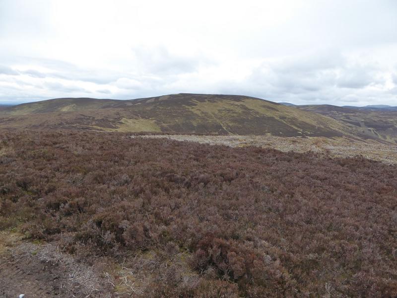
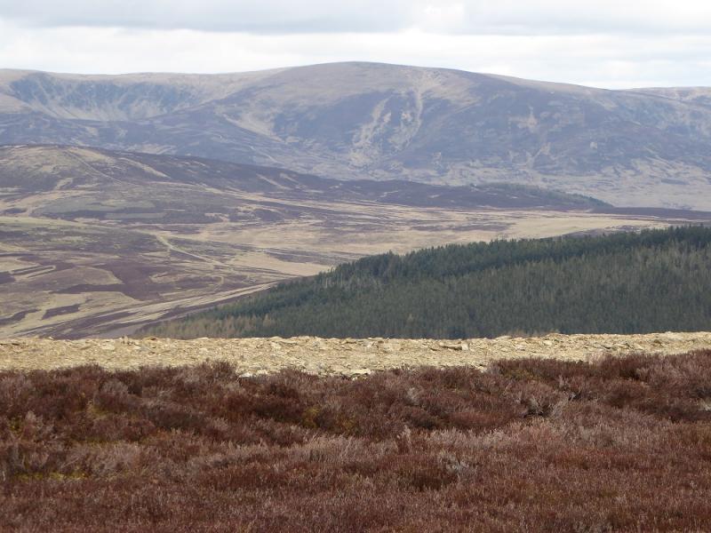
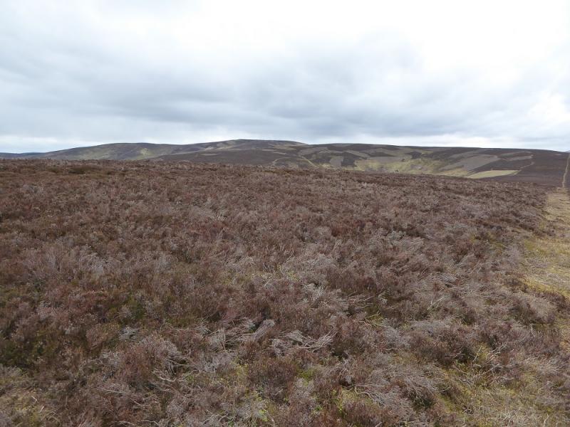
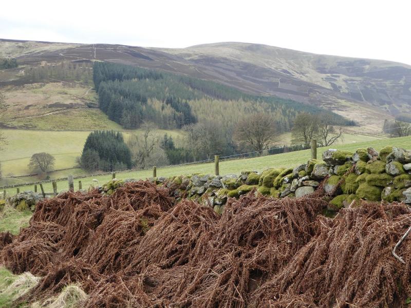
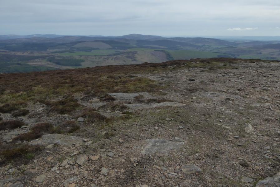
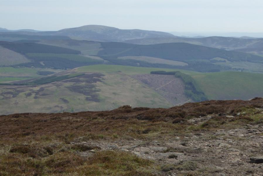
This is a pleasant moorland walk which offers good views from the summit to Ben Tirran, Mayar, Driesh and beyond. There are many more tracks and fences on this route than are shown on the maps. Many of the tracks look as if they have been created by a giant lawnmower! Note that Corwharn has been resurveyed and is no longer quite high enough to be classed as a Graham.
Route
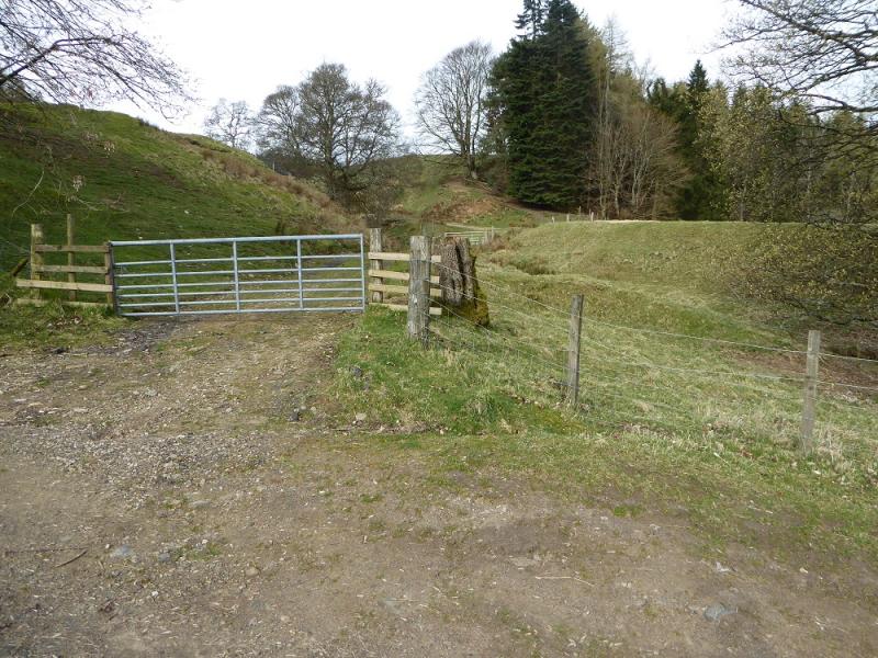
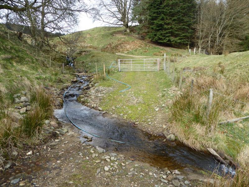
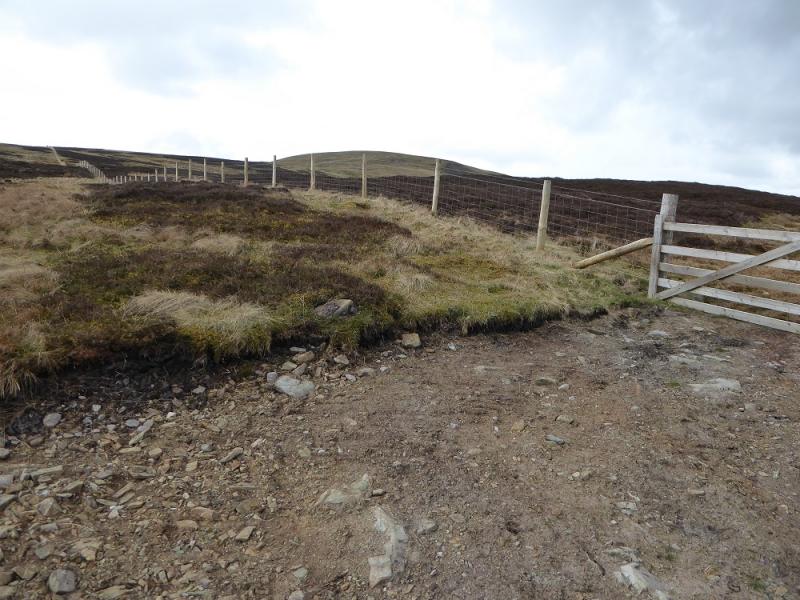
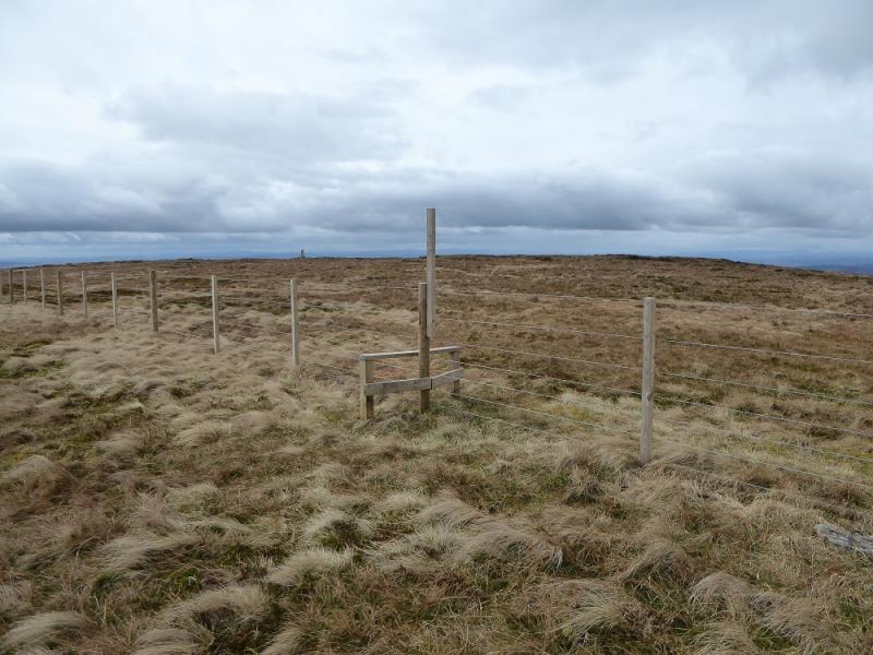
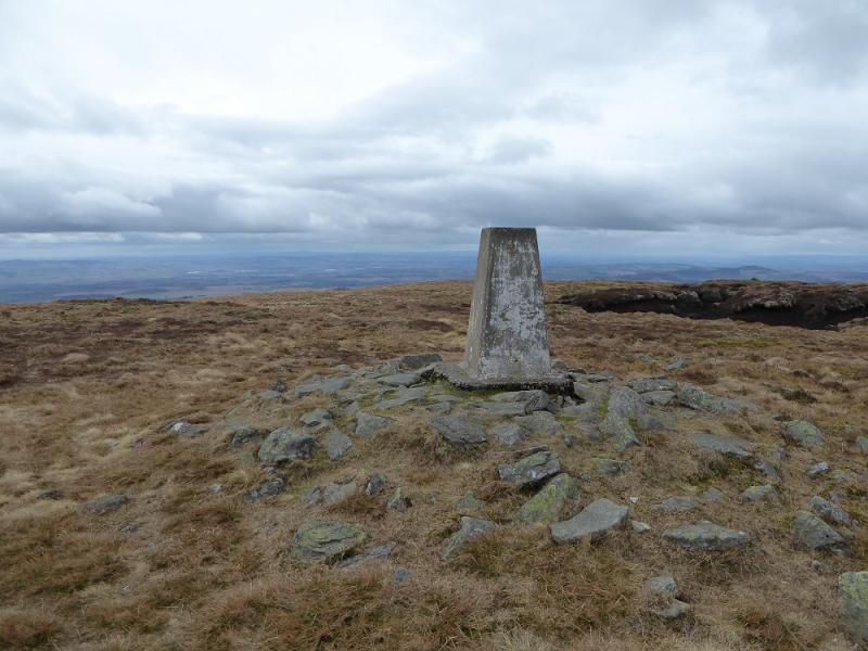
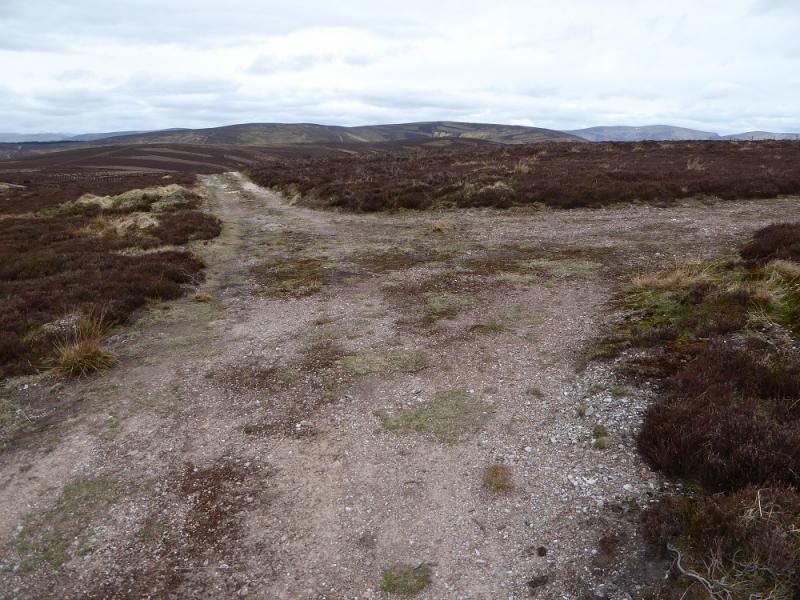
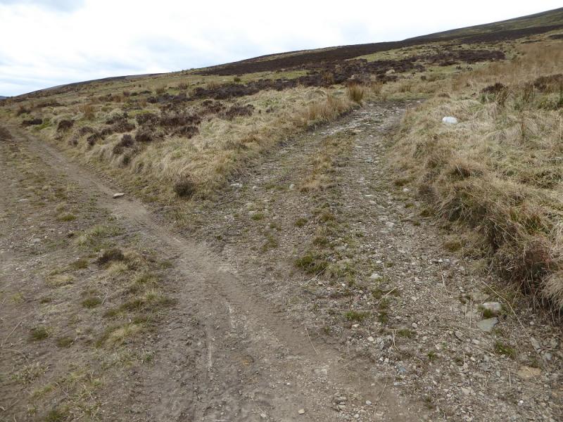
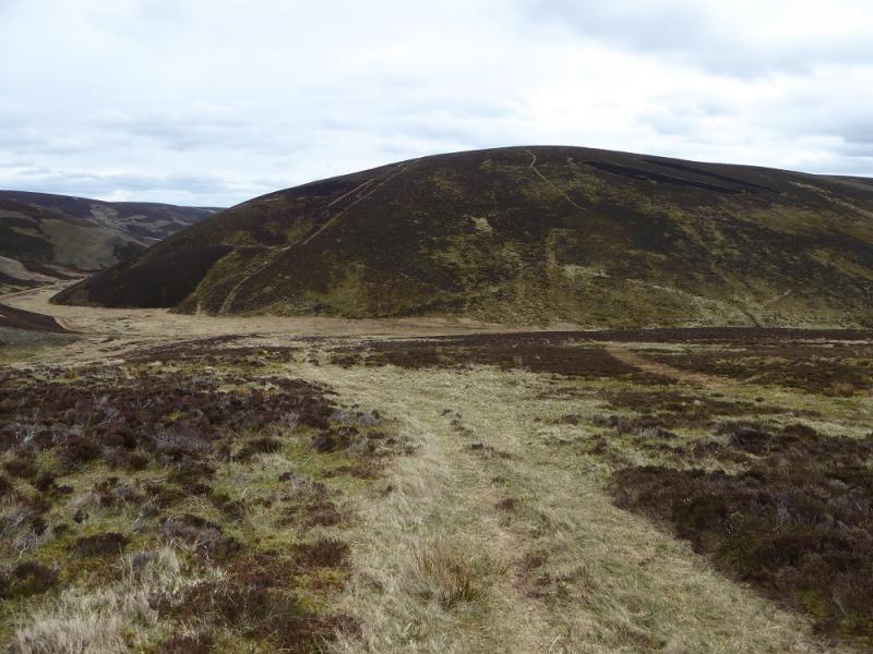
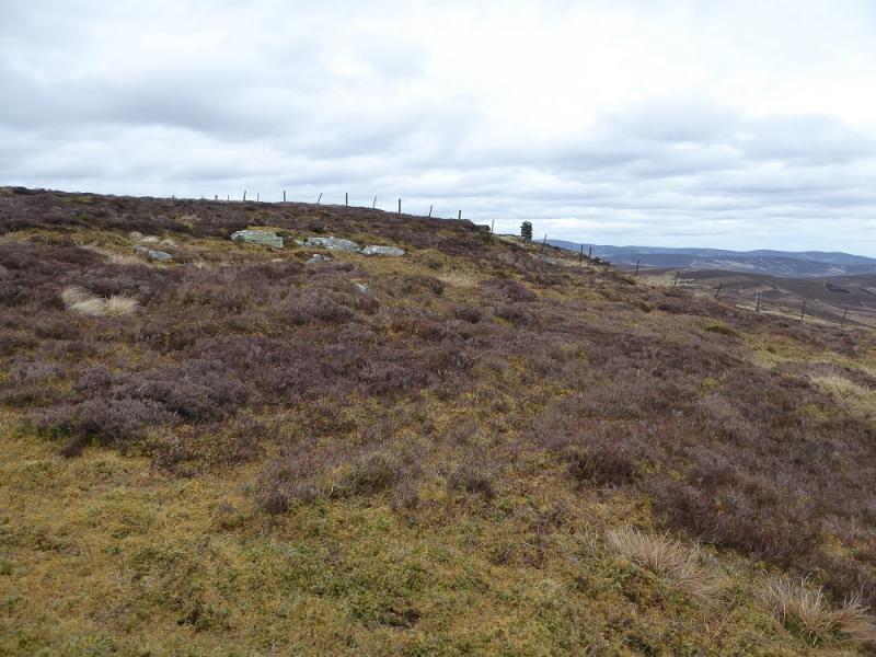
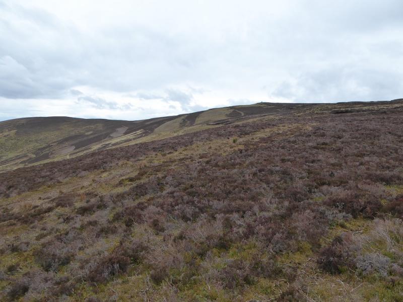
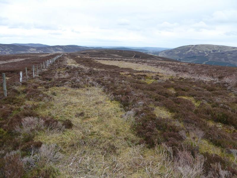
(1) Take the track going uphill on the S side of the bridge. This soon crosses a very minor stream to reach another gate then continues, initially, up the side of the stream. Stay with the track to reach a wood. Take the left fork and continue up to another left fork; the track can be steep in places. Continue up the ridge known as Peat Shank. The gravel track ends at a gate. Don't go through the gate but continue up on a faint path close to the fence which is followed to the col between Long Goat and Cat Law. Turn right, W, and follow another fence up on to the plateau. There are a few boggy sections to watch out for near the col. Cross the simple stile on the plateau and head towards the trig point which is not the highest point. Between the stile and the trig point, on the right, is slightly higher ground where a very small and low cairn is the summit of Cat Law, 671 m.
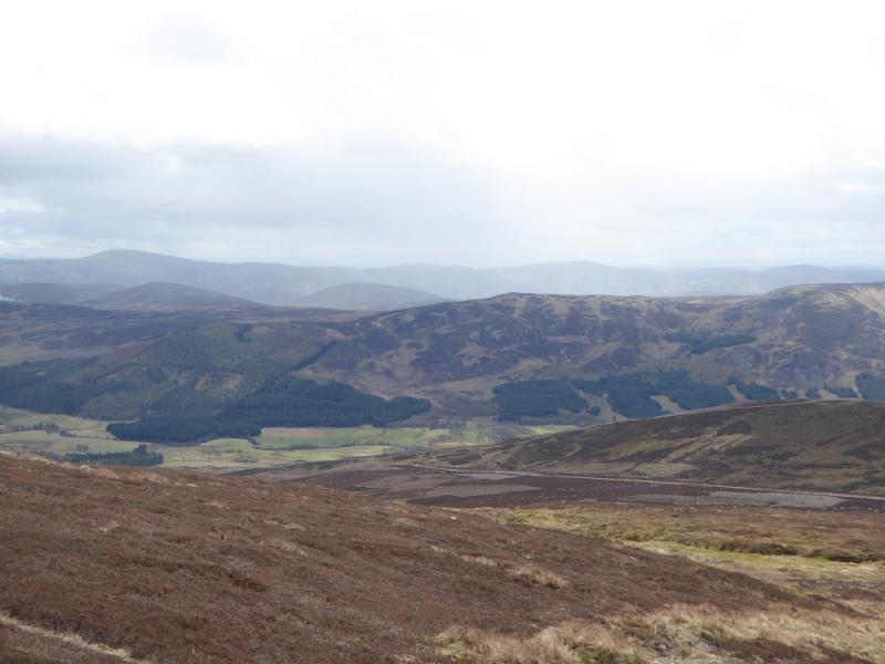
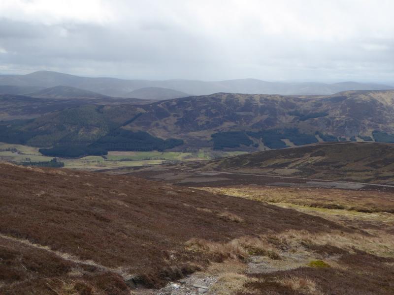
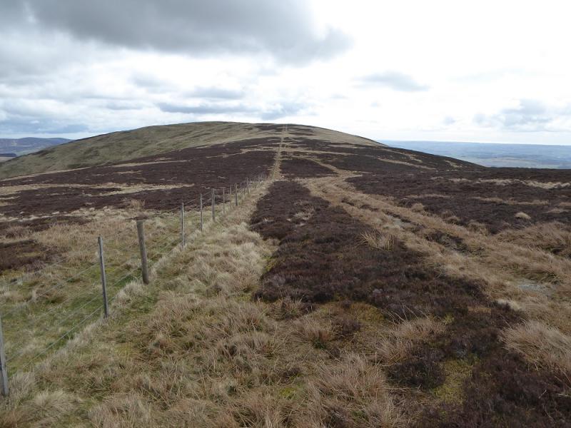
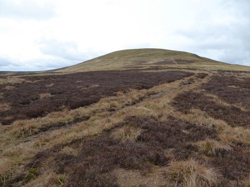
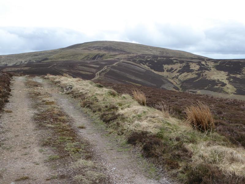
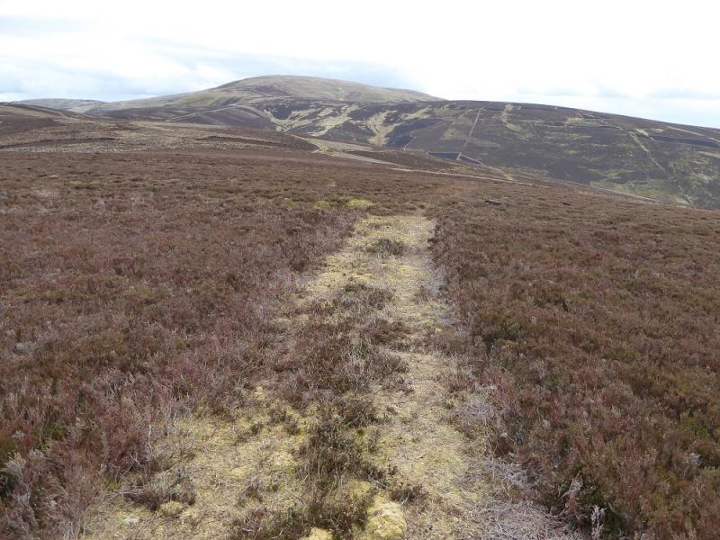
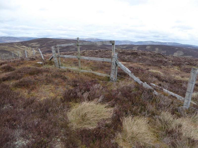
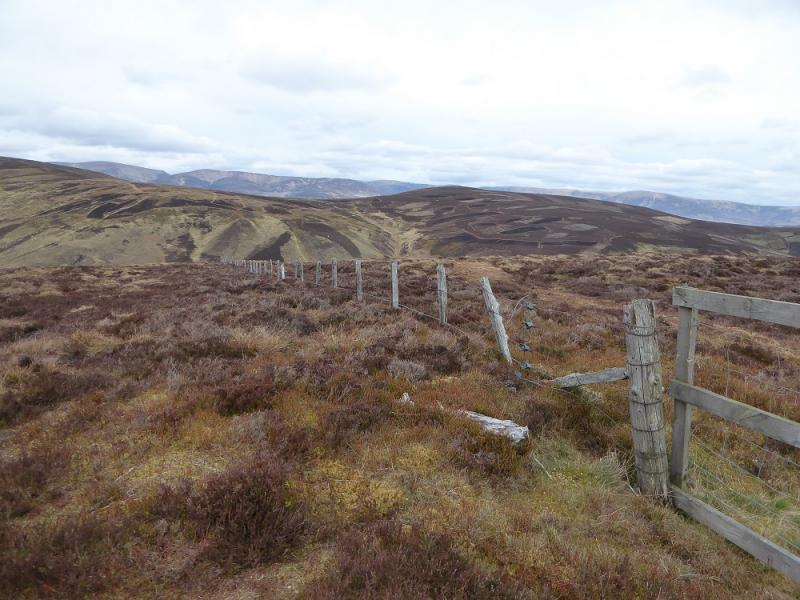
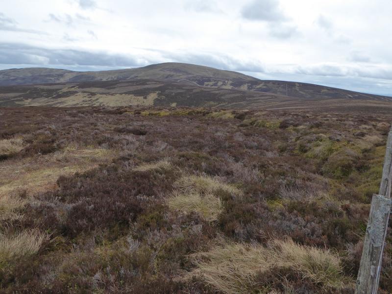
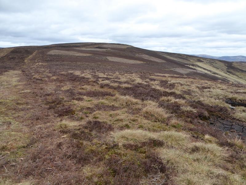
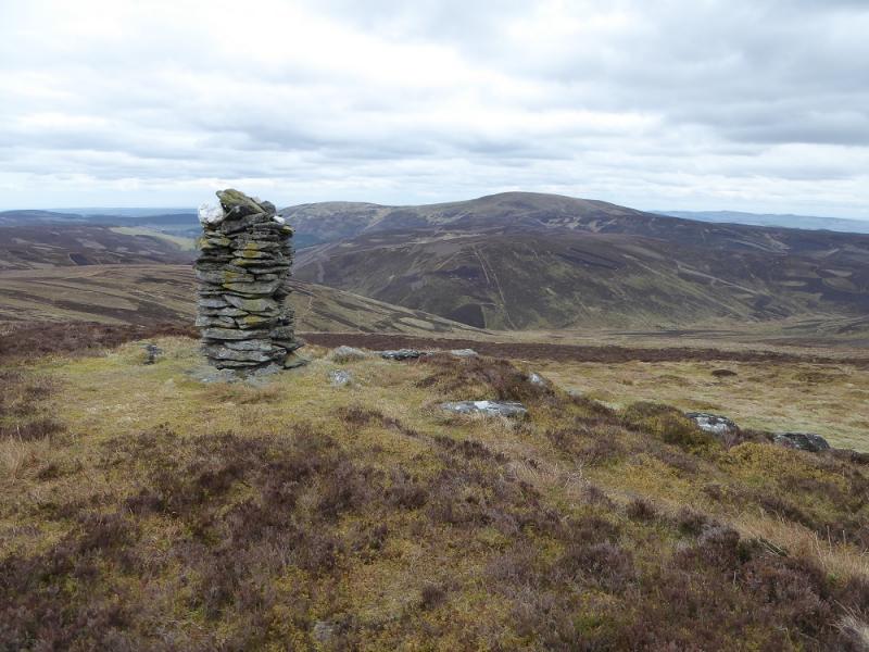
(2) If Cat Law is the only objective then return the same way. If going to Corwharn follow the fence descending roughly NW. There is a faint path to the left which becomes more distinct lower down before becoming faint again. Reach the prominent track between Bodandere Hill and Monthrey. Follow the track NNE to a junction just before Monthrey. Take the left fork which passes to the W of Monthrey then heads NW to Cormaud where the track turns W and starts descending gently. Reach a junction where a minor track goes right and follow this (it becomes quite faint) onto Tarapetmile. A fence is on the right. Reach the highest point, a sort of gate, then continue down the side of the fence to reach a major track in the glen just to the E of the watershed between Glen Quharity and Glen Uig. There is a sign and gate at the bottom of the fence. Head S, uphill, on the track for about 40 m to reach the track up Corwharn which forks off right. Follow this up, steeply in places, past some grouse butts to gain the crest between Cairn Corse and Corwharn. Follow the crest N then NNE, following a fence to reach a tall cairn after crossing a fence. This does not seem to be the highest point which looks to be in the vicinity of the nearby fence junction. There is no sign of any other cairn but this is the summit of Corwharn, 609 m.
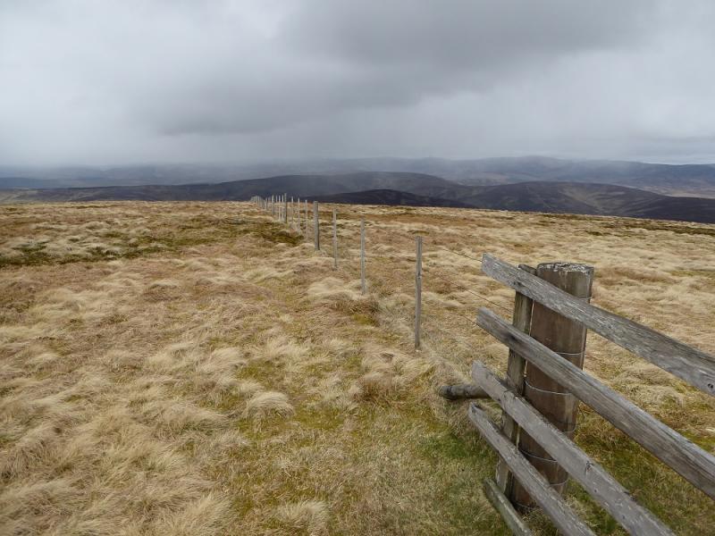
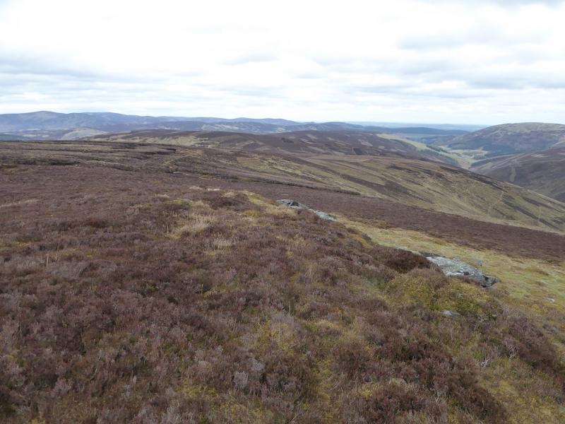
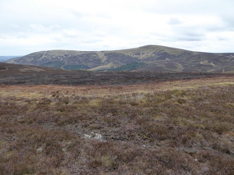
(3) Follow the fence going NE to a corner where it turns SE. The fence goes all the way to Broom Hill and almost down to Easter Lednaithe but be careful at junctions that the correct fence is followed! Go over Hill of Adenaich, Finlet and Broom Hill then follow the track down to the road above Easter Lednaithe. Descend the steep road back to the start.
Notes
(a) This walk took place on 14th April, 2017, and about 15 years earlier.
Photos - Hover over photo for caption. Click on to enlarge. Click on again to reduce.